



Trip 337 - June 3, 2026 (Wednesday).
Mt. Seymour (Quadra Island) Trail Hike
Quadra Island, British Columbia, Canada.
Trailhead Location:
1.9 km of Granite Bay Rd (starts of Hyacinthe Bay Rd),
Western Quadra Island, which itself is located off
Vancouver Island, across from Campbell River, via a 10 minute ferry ride.
Liked: Views from several viewpoints and the mountaintop, shade in the forest, ability to hike Nugedzi Lakes Trail on the way back (car shuttle required), very few bugs.
Of note: Steep unbarricaded dropoffs at viewpoints, occasional encroaching vegetation along the trail, uneven ground, rocks and roots, hiking poles and boots are recommended.
Vancouver Island, Victoria & Gulf Islands Backroad Mapbook (9th edition) trailhead location: Page 42 (Campbell River) F3.
Related Websites: Quadra Island Trails Map, Quadra Island Visitor Guide.
Other British Columbia Islands We Have Visited: Bowen Island, Galiano Island, Gambier Island, Mayne Island, Newcastle Island, Pender Island, Salt Spring Island, Saturna Island, Sidney Island, Texada Island.
Follow @ihikebc Tweet
Mt. Seymour on Quadra Island (not to be confused with a much more famous Mt. Seymour in North Vancouver) is a moderately difficult and fairly short hike, which has nowhere near the great views of its North Vancouver cousin. Neither does it have the crowds of its famous namesake. In fact, there were no other people on the trail at all. So, if you value quiet hiking with somewhat decent views, Quadra Island's Mt. Seymour is definitely the right hike.
The added bonus is that the peak of Mt. Seymour (Quadra Island) is very close to rather pretty Nugedzi Lakes, which have a trail of its own. Thus, should you so desire and have enough vehicles for a car shuttle (or willing to hike on Quadra Island's shoulderless roads for 2.4 km), it is possible to start on one trail, and finish on the other.
Mt. Seymour is a fairly easy trail, with steady elevation gain for 2.6 km until the Nugedzi Lakes junction, and then it gets a bit steeper for the last 1.1 km until the end of the hike.
* All trail distances are based on a GPS odometer and are approximate.
1. Here is a Google Maps location of Mt. Seymour on Quadra Island, BC.
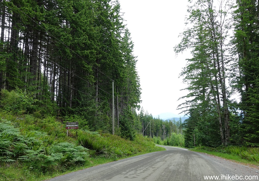
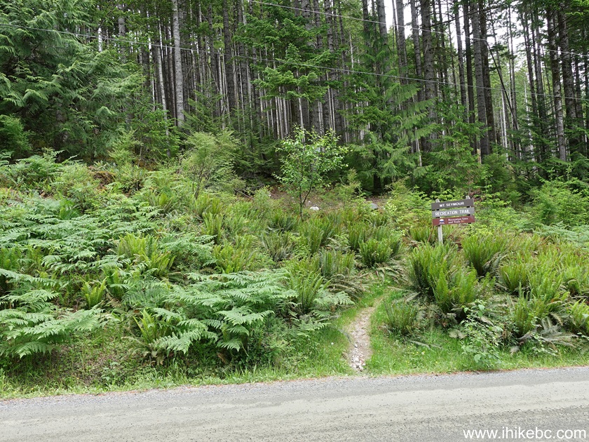
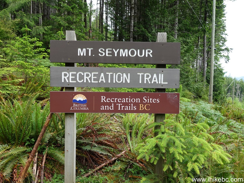
2-4. We are on Granite Bay Road, 1.9 km past its start at Hyacinthe Bay Road. Mt. Seymour trailhead is on the left side. Coordinates: N 50⁰10.578' W 125⁰15.815'. Elevation: 200 meters.
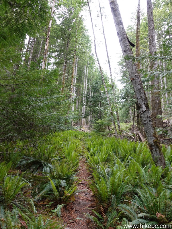
5. The hike begins. At 60 meters from the trailhead.
6. At 110 meters, we are joining a forest service road, which begins off Granite Bay Road. However, this is such a steep road, and the trail follows it for less than 200 meters, that it's not much of an advantage to drive in a vehicle up to this point.
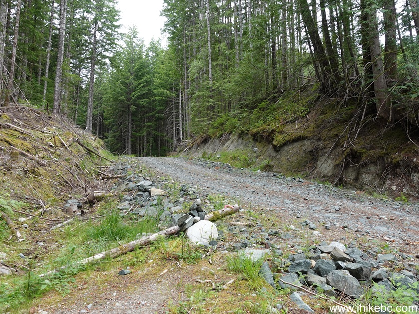
7-8. Make a left turn and hike on this FSR for 160 meters, then re-enter the forest, as seen in photo #8.
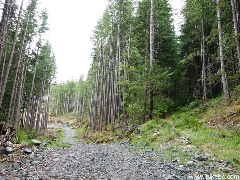
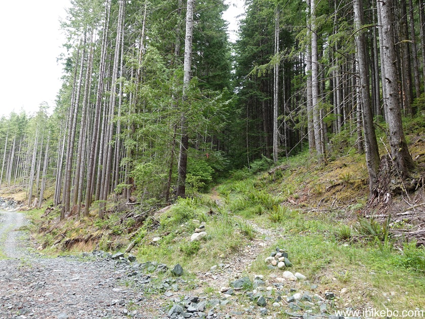
9. Now at 460 meters of Mount Seymour Trail on Quadra Island, BC.
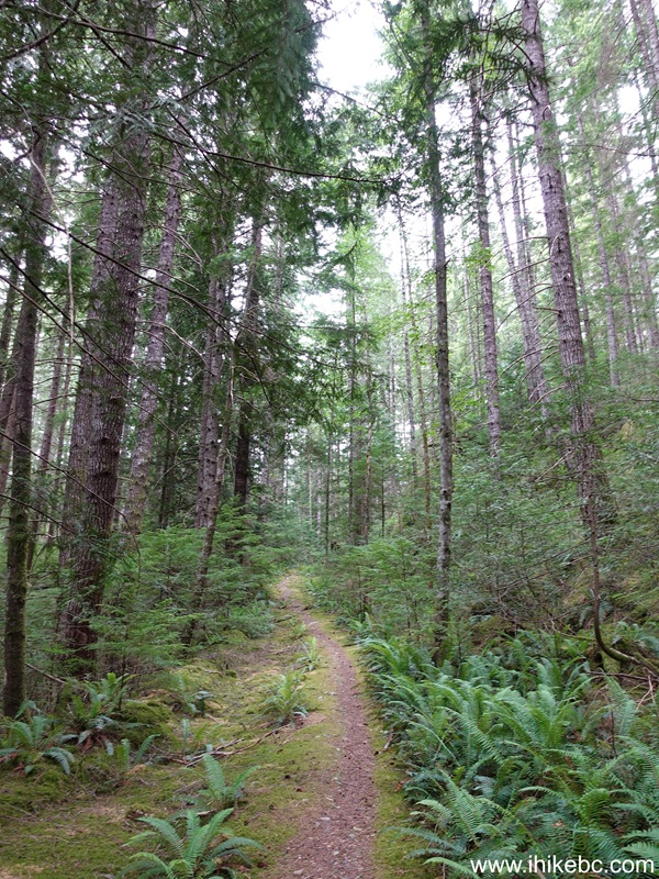
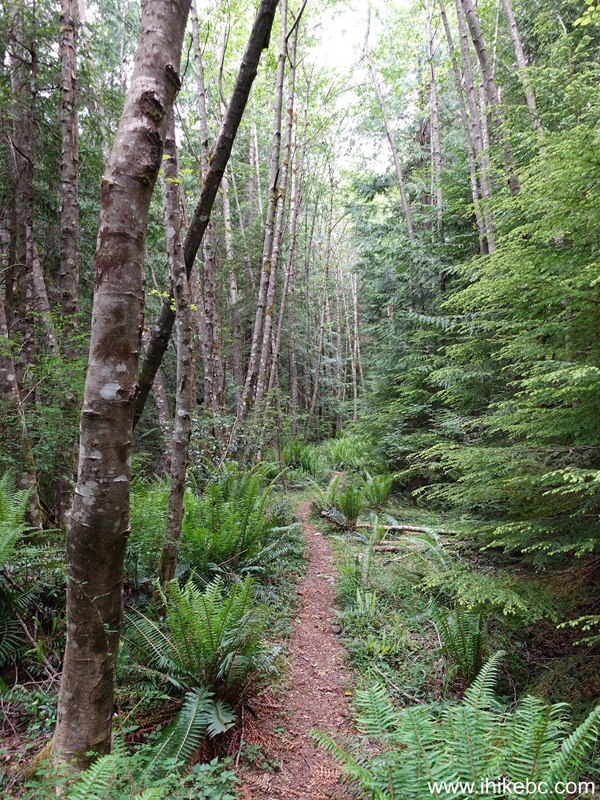
10. It's a pleasant forest, with much fern on the sides. At 800 meters here.
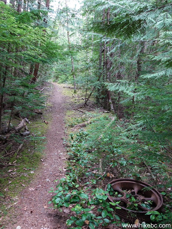
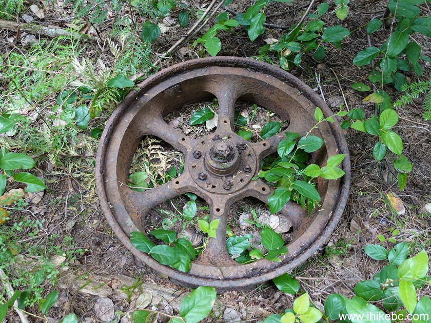
11-12. A historical artefact appears by the trail at 1.65 km from Granite Bay Road.
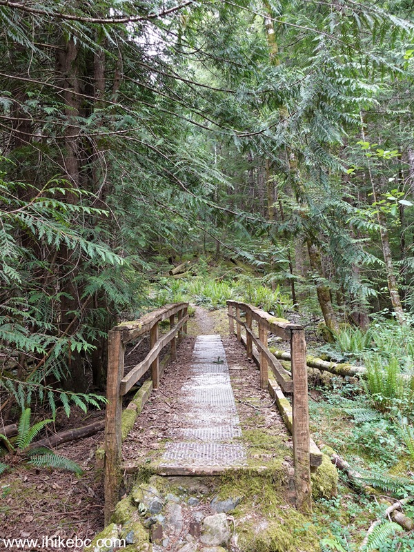
12a. A foot bridge within 100 meters of the artefact.
12b. In about 400 more meters after this bridge, on the left side there is a barely noticeable and easy to miss alternative Nugedzi Lakes connector, which we only discovered when we hiked Nugedzi Lake Trail the next day, took a wrong turn, and found ourselves on Mt. Seymour Trail at this spot after a fairly steep descent. Had to hike back up to Nugedzi Lake Trail.
Coordinates: N 50⁰10.445' W 125⁰17.159'. Elevation: 470 meters.
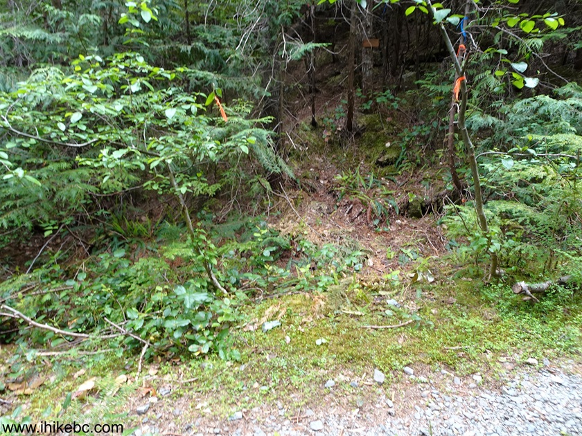
13. At 2.35 km of Mt. Seymour Trail on Quadra Island, BC. There are no overly steep sections up to the Nugedzi Lakes Junction.
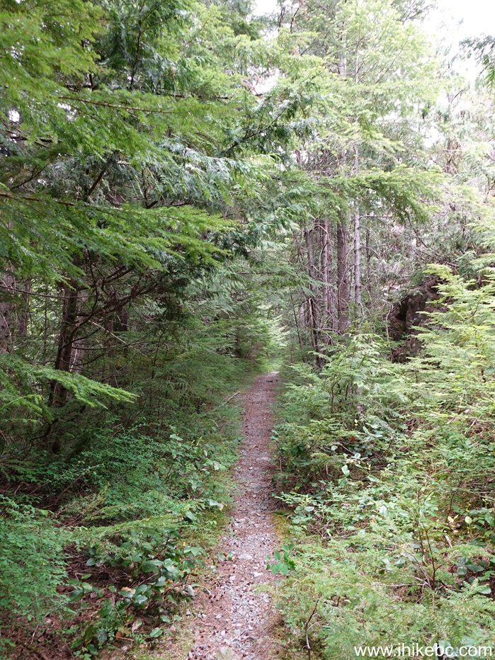
14-15. Nugedzi Lakes Junction arrives at the 2.61 km mark. Coordinates: N 50⁰10.483' W 125⁰17.553'. Elevation: 480 meters. Going straight results in reaching Nugedzi Lakes in less than 600 meters. It is possible to then continue on to the Nugedzi Lake Trailhead to finish the hike (after checking out Mt. Seymour peak views first), if you have arranged a car shuttle, or wouldn't mind hiking for a bit back to your car on shoulderless Hyacinthe Bay Road and then Granite Bay Road (remember to hike facing traffic, if there is no shoulder).

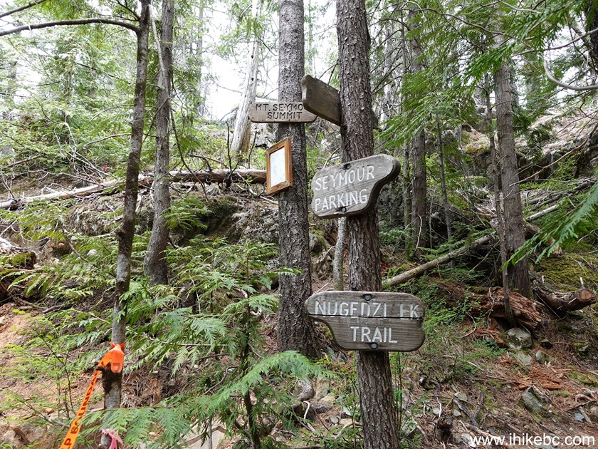
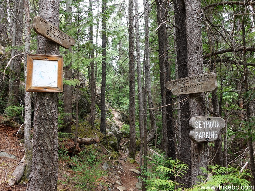
16-17. Turning right would result reaching the top of Mt. Seymour in 1.1 km. The trail gets steeper at times after the junction.

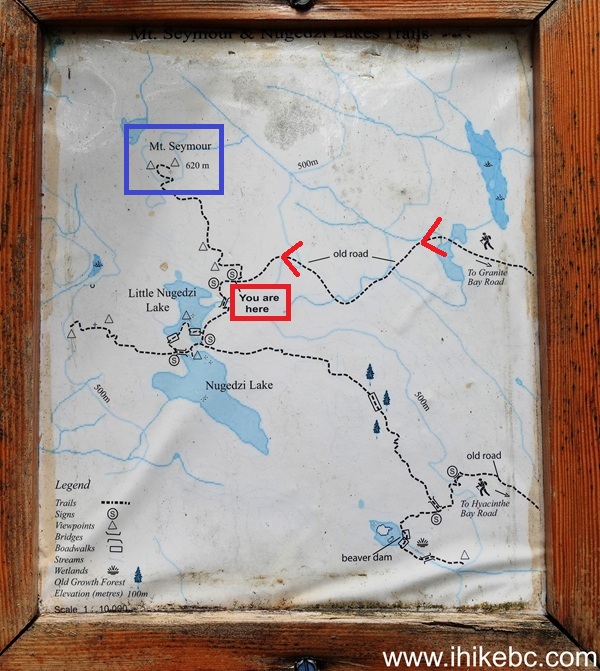
18. On this map we have indicated as follows: red arrows - Mt. Seymour Trail, blue box - Mt. Seymour summit, red box - Nugedzi Lakes Junction. Nugedzi Lake Trail is seen originating from the bottom right. Its trailhead is on Hyacinthe Bay Road before it reaches Granite Bay Road (if driving from Quathiaski Cove Ferry Terminal).
19. Mt. Seymour Trail 30 meters after the junction.

20. Ten meters later, once we reached to top of this climb.

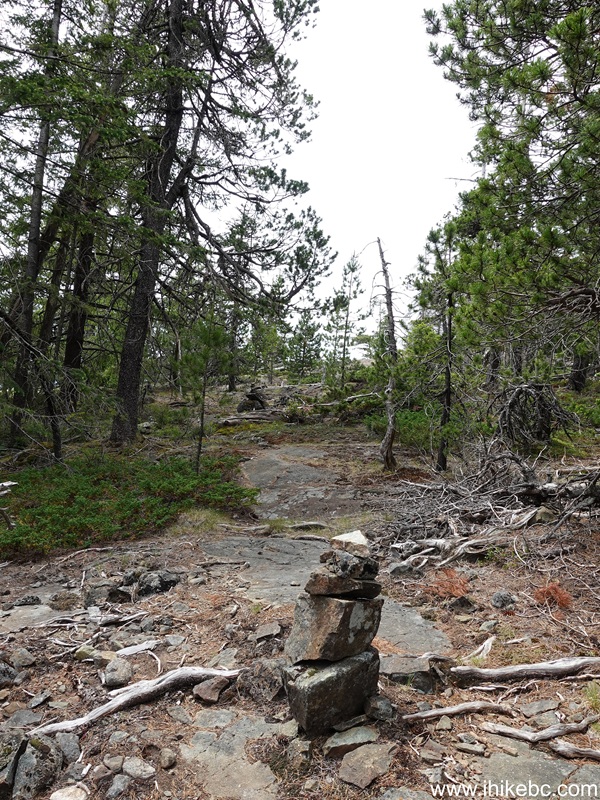
21. At 170 meters past the junction. Many cairns are now leading the way.
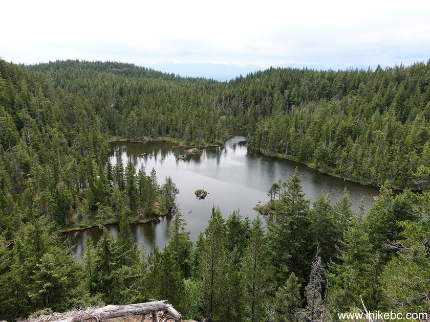
22. At 250 meters, the first view of the hike is Little Nugedzi Lake.
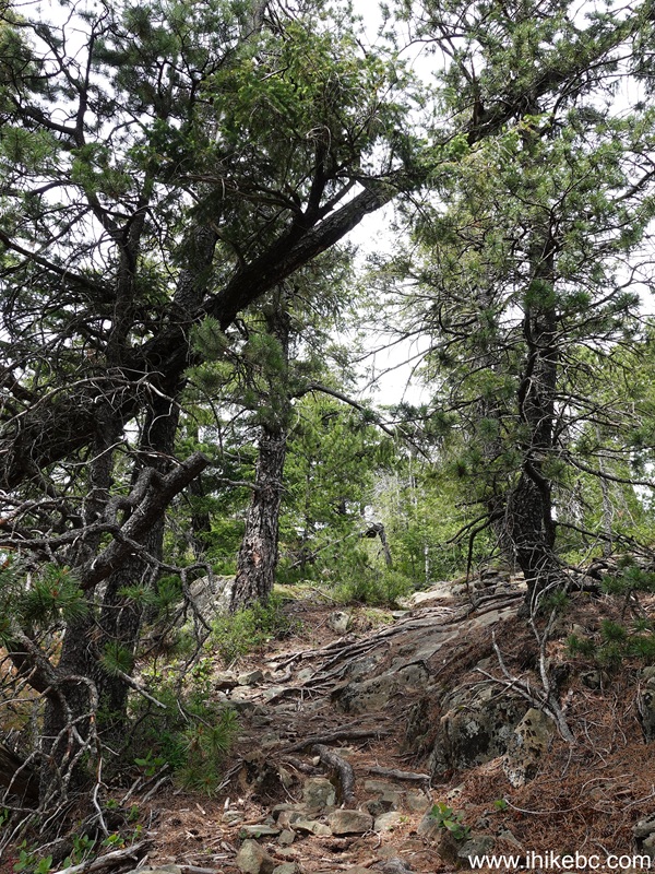
23. At 550 meters past the Nugedzi Lakes Junction.
24. At 580 meters, don't miss this short spur on the left side, as it leads to a very fine view.
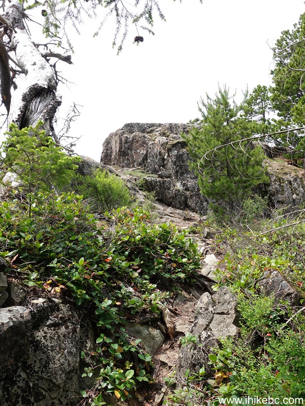
25. Ten meters into the climb to a good viewpoint.
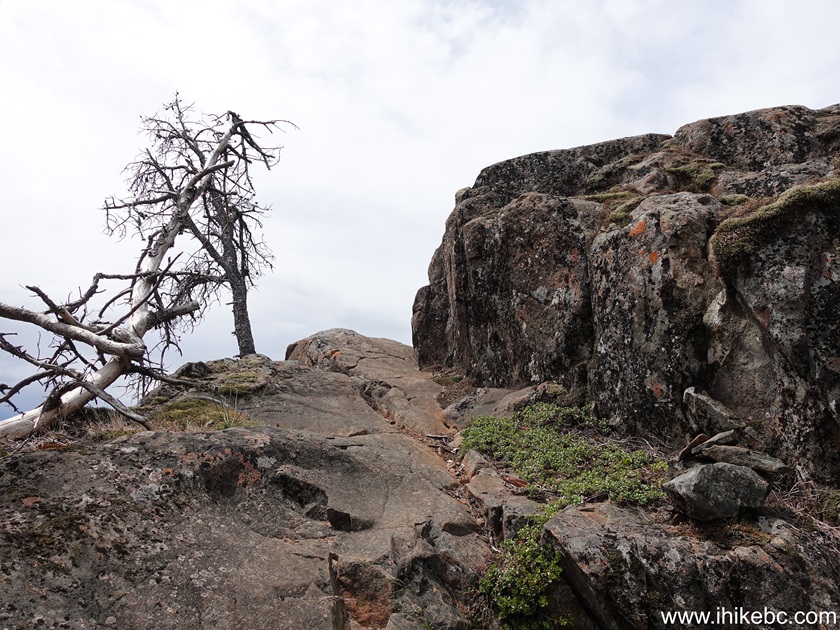
26. Twenty meters later, here it is.

27. On to the summit - at 980 meters past the Nugedzi Lakes Junction now.

28. At 1.02 km.

29-30. At 1.05 km, there is a split. To the right is the summit of Mt. Seymour (in 70 meters), and, to the left, is an ever better view (because no trees are in the way) within 50 meters of the split.
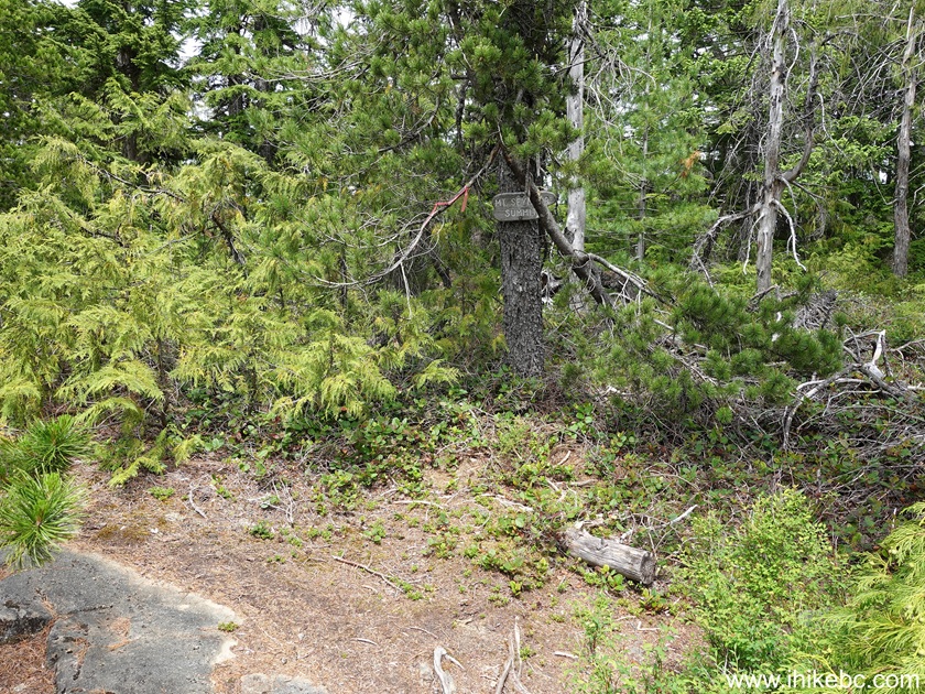
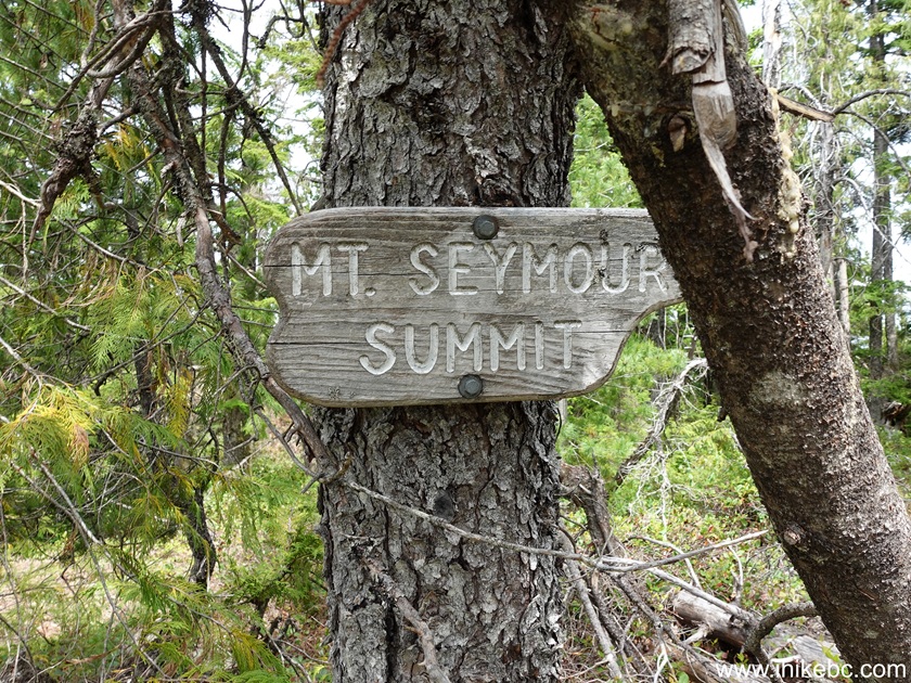
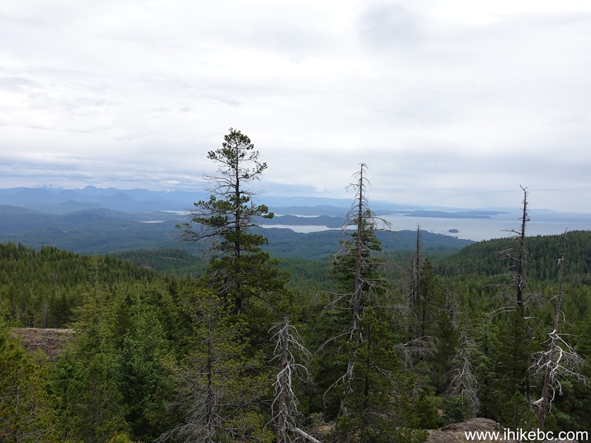
31. We went left first, and here is that fine view. Would be even better on a sunny day.
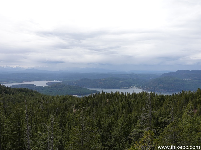
32. Now heading towards the summit. 30 meters past the split.
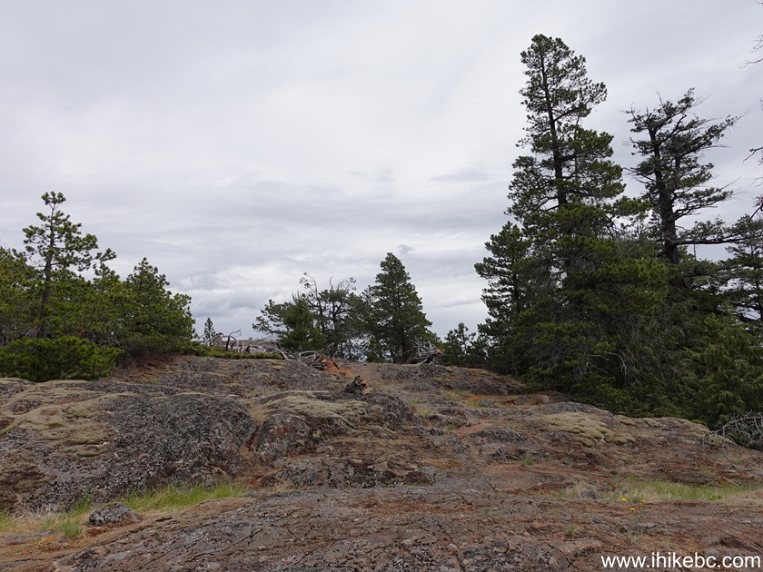
33. 40 meters later. A bench with a view at the summit of Mt. Seymour on Quadra Island, BC. Coordinates: N 50⁰10.738' W 125⁰17.840. Elevation: 625 meters. Average trail grade: 11.5%.
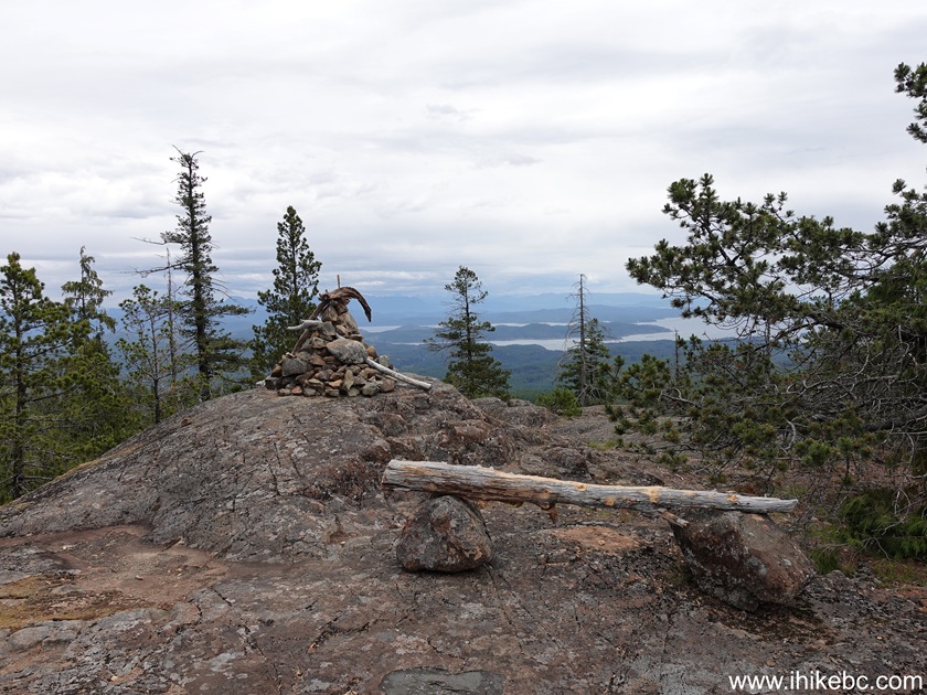
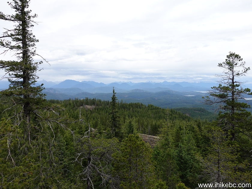
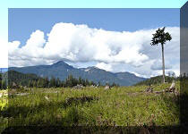
34-35. Alas, some trees are in the way, but it's a good view, nonetheless. Left to right.
Here is Our Video of Hiking Mount Seymour Trail on Quadra Island, BC.
More ihikebc videos are on our YouTube Channel.
Mount Seymour Trail on Quadra Island is fairly short, and has several decent views. As an added bonus, it's a quick short side trip to visit Nugedzi Lakes. Recommended.



|
 |
Other Trips:


ihikebc.com Trip 33
7 - Mt. Seymour Hike (Quadra Island, BC)ihikebc Privacy Policy: https://www.ihikebc.com/privacy-policy.htm