![]()
![]()
![]()

Trip 120 - September 10, 2016 (Saturday)
Fraser Mountain Road Hike
Off BC Highway 16. West of Vanderhoof. Near Fraser Lake.
Trailhead Location: Off BC Highway 16 by Fraser Lake. Five
kilometers East of Dry Williams Lake rest area.
Liked: View from the Keith Henson viewpoint, several natural views, climbing the lookout tower, no bugs.
Of note: Steep drop-off at the Keith Henson viewpoint, very windy on top of the lookout tower.
Northern BC Backroad Mapbook (3rd edition) Trail Coordinates: Page 9 (Fraser Lake) D1-D2.
Backroad Mapbook lists this as a Fraser Mountain Trail, and shows the trailhead right by Highway 16 a few hundred meters prior to Fraser Mountain Road. In reality, you may either hike from Highway 16, or drive on Fraser Mountain Road as far as your vehicle may get you, and then hike the rest of the way to the lookout tower, which is what we did.
1. We are Eastbound on BC Highway 16, with Fraser Mountain Road turnoff seen ahead on the right. It is located just before a bridge, and exactly five kilometers past Dry Williams Lake Rest Area. Coordinates for the turnoff: N 54⁰03.388' W 124⁰37.050'. Elevation: 686 meters.
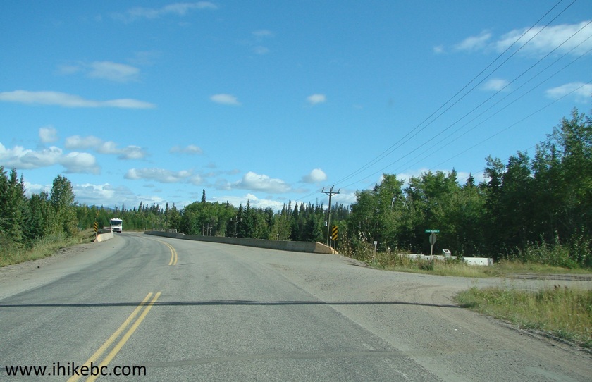
BC Highway 16 East at Fraser Mountain Road Turnoff
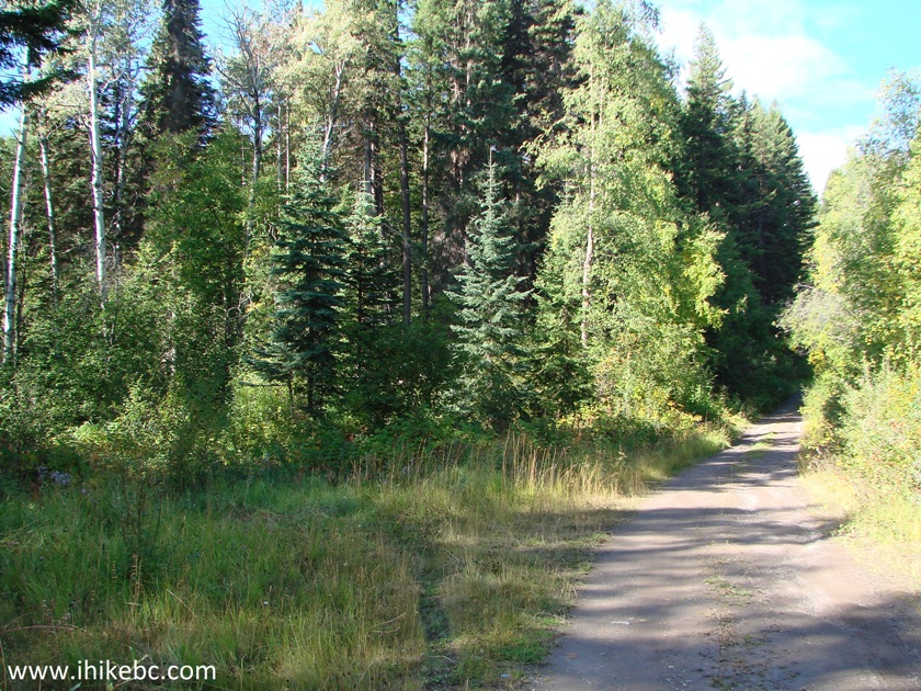
2. Now on Fraser Mountain Road.
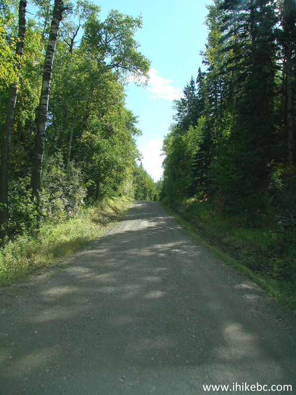
Fraser Mountain Road near Fraser Lake British Columbia Canada
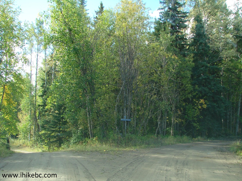
3. Two and a half kilometers after the turnoff from Highway 16, Henson Road would appear on the left side. Keep going straight.
Fraser Mountain Road at Henson Road off BC Highway 16
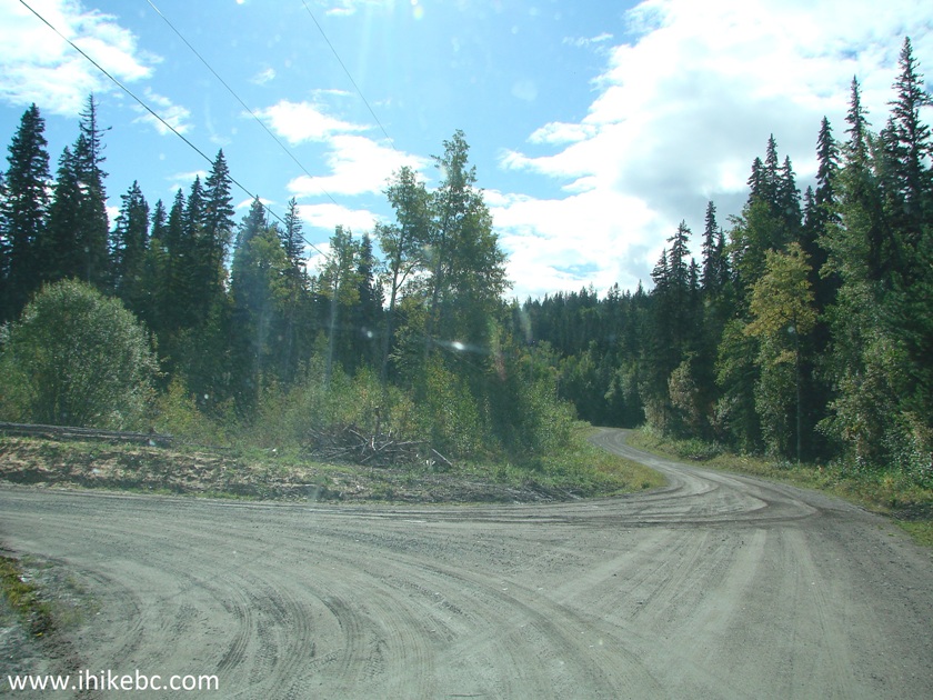
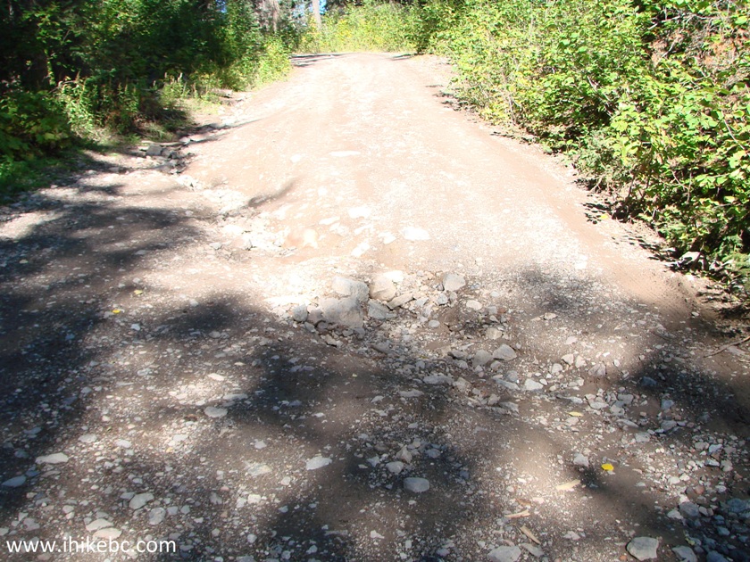
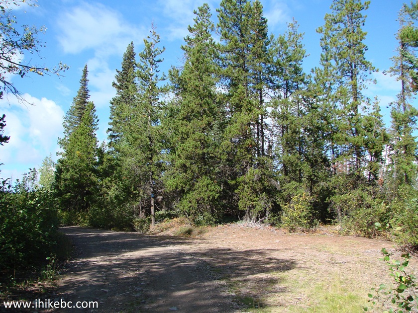
4. At the 3.7 km mark, smooth gravel road ends. There are two right turns there (one after another). Take the second right turn, as the first turn (as well as a left turn) leads to a private residence. In the photo below there is the second right turn and a left turn. The road deteriorates substantially after the right turn, and low-clearance vehicles may have to stop here.
Fraser Mountain Road by Fraser Lake British Columbia Canada
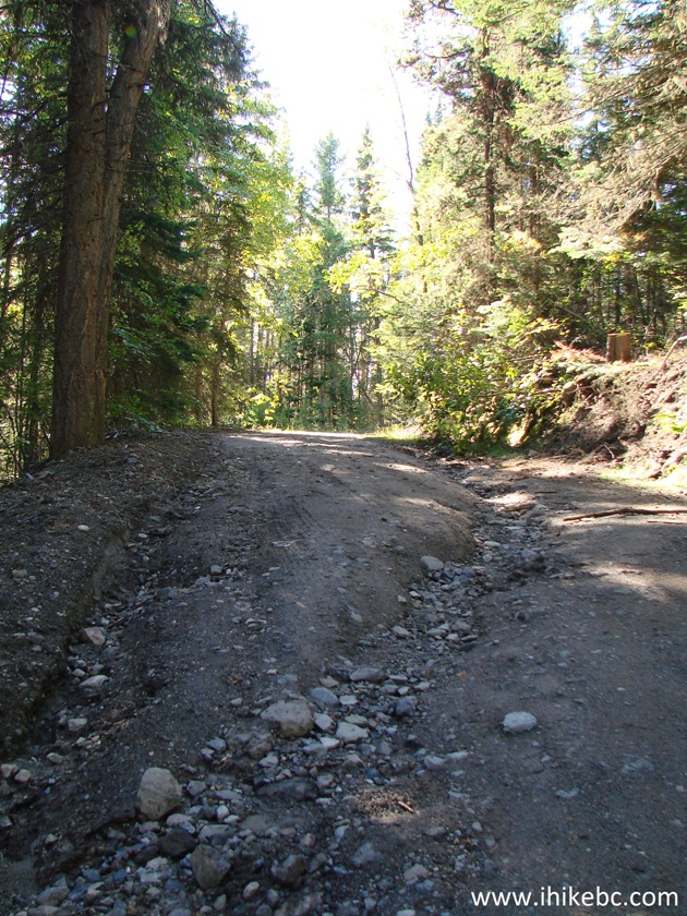
5. At the 5.2 km mark, there is a cross-ditch (pictured in photo #6), which we decided not to cross, backed up for several hundred meters, and parked at this spot - 4.9 km from the Highway 16 turnoff. Coordinates for the parking spot: N 54⁰02.368' W 124⁰35.397'. Elevation: 862 meters.
Fraser Mountain Road British Columbia Canada
6. Here is that cross-ditch. It's deeper than it looks.
Fraser Mountain Road near Fraser Lake BC Canada
7. It turned out to be a good idea not to drive any further, since, a few minutes after we started hiking, we encountered this rather serious cross-ditch, which would have stopped our vehicle for sure.
8. Fraser Mountain Road hike ended up being a very pleasant outing. It was warm and quiet. There were good views and no bugs.
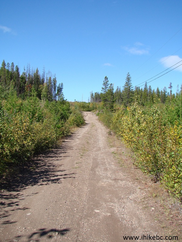
Fraser Mountain Road near Vanderhoof BC
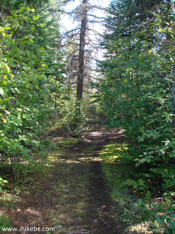
9. Twenty minutes after the start of the hike, there was this turnoff.
Hike in Fraser Lake Area - Fraser Mountain Road
10. A short road with several fallen trees led to...
11...a great valley view. Coordinates for the viewpoint: N 54⁰02.458' W 124⁰35.950'. Elevation: 952 meters.
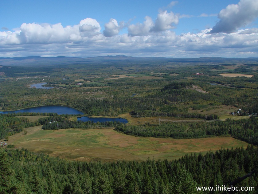
Valley View off Fraser Mountain Road by Fraser Lake BC Canada
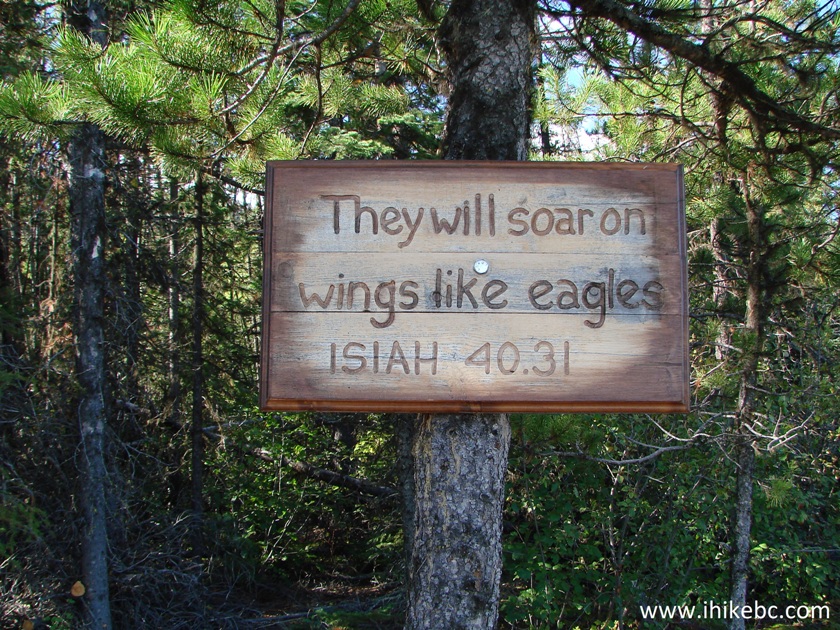
12. This viewpoint is dedicated to Keith Henson.
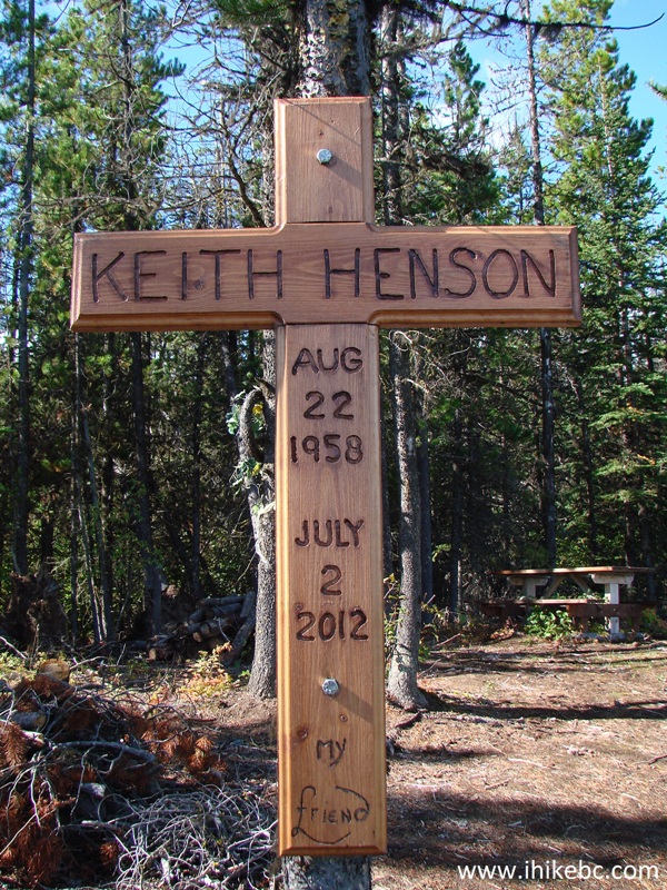
13. A line from the Scriptures at the viewpoint.
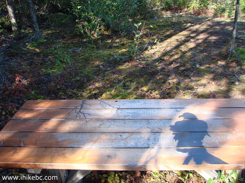
14. And a table with eagle art.
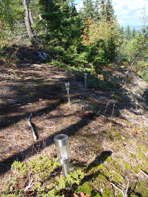
15. Be careful, as there is a very steep drop-off at the viewpoint. Though, thoughtful people installed solar-charged marker lamps to prevent accidents.
16. We are back on Fraser Mountain Road.
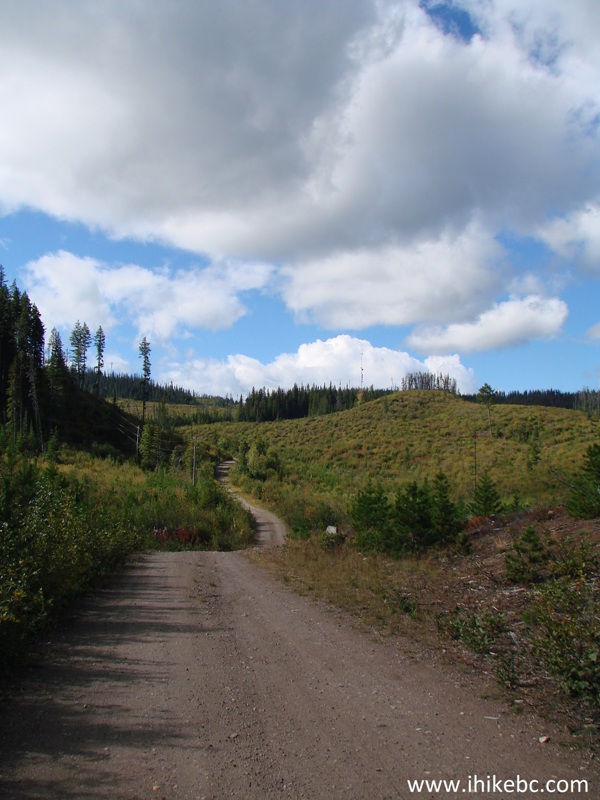
Fraser Lake Hiking - Fraser Mountain Road
17. Thirty-five minutes past Keith Henson viewpoint turnoff, we have reached our destination on top of Fraser Mountain.
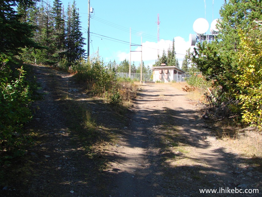
18. There was a lot of communication equipment...
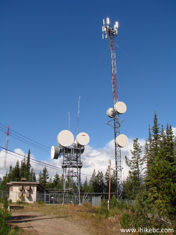
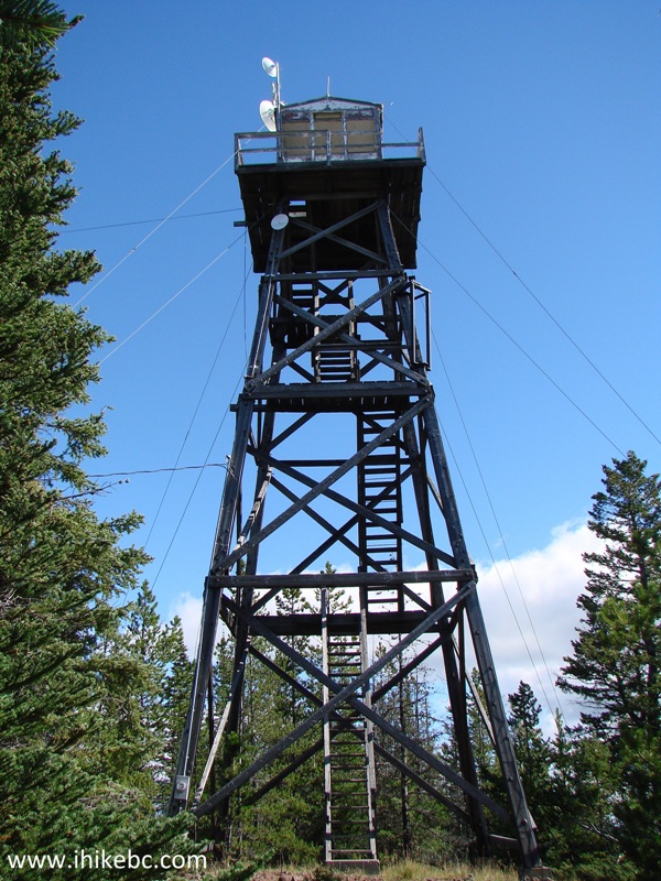
19. ...and an abandoned lookout tower. Coordinates for the top of the tower: N 54'01'733 W 124'37'394. Elevation: 1,145 meters.
Lookout Tower by Fraser Mountain Road near Fraser Lake BC Canada
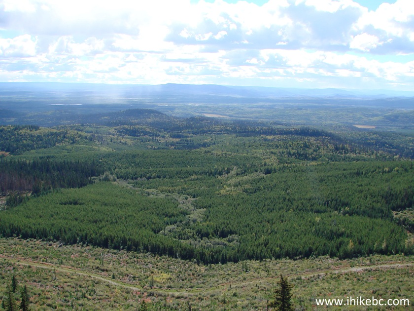
20. This tower is not nearly as cool as the one on Tacheeda Mountain, which is preserved in its original condition. Fraser Mountain lookout is completely empty of anything - just bare walls and windowless frames. The views are fairly good, though.
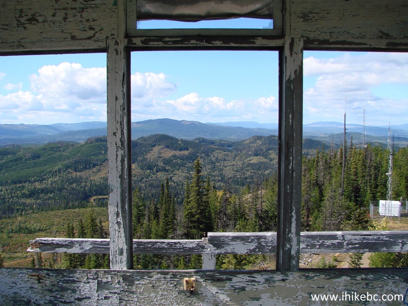
View from lookout tower on Fraser Mountain near Fraser Lake British
Columbia
21. One more. It's quite windy on top of the tower.
View from Fraser Mountain British Columbia
22. A small lake seen from the tower.

23. Time to go down.
24. The tower is in good shape.

25. A neat view on the way back.
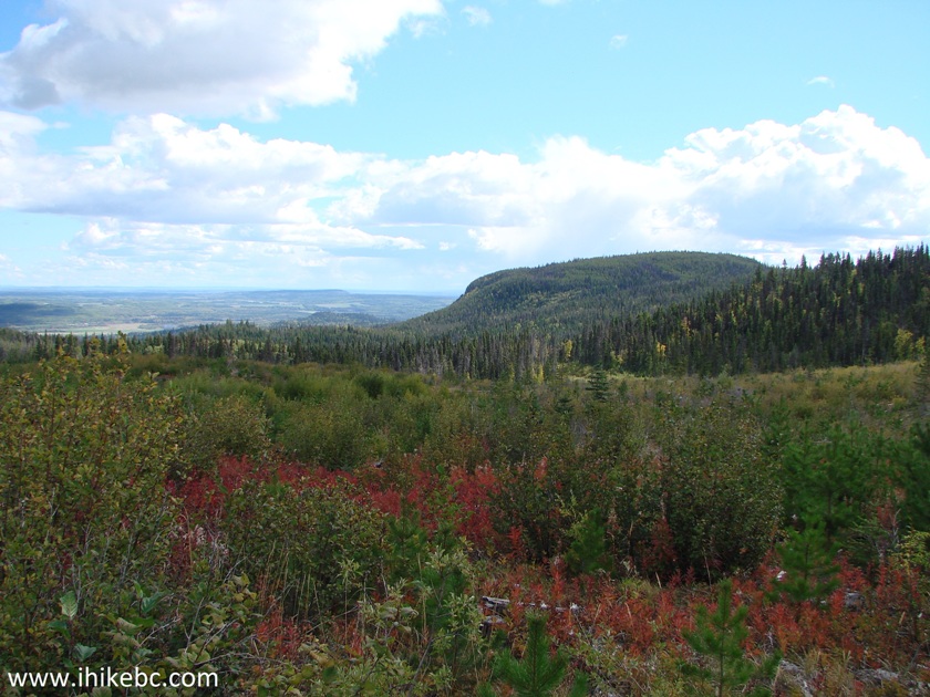
View from Fraser Mountain Road near Fraser Lake British Columbia
If you have an ATV or a capable 4x4, it is possible to drive on Fraser Mountain Road all the way to the tower. Otherwise, it's a rather short but pleasant hike with several fine views. Highly recommended.


|
 |
Other Trips:


![]()


![]()
![]()
![]()
ihikebc.com Trip 120 - Fraser Mountain Road Hike (near Fraser Lake BC)