![]()
![]()
![]()

Trip 174 - August 12, 2019 (Monday)
Horsefly Mountain Trail Hike
Near Horsefly BC
Location: South-Central British Columbia, approximately 27 kilometers East of the settlement of Horsefly, which itself is located about 50 kilometers East of BC Highway 97 near 150 Mile House / Williams Lake.
Liked: Horsefly Lake views, a good camping area with a fine view near the trail.
Of Note: Horsefly Mountain Trail is shared with ATVs, and how much up the mountain you can drive depends on your vehicle's ability to handle rough road conditions. The views are starting to get overgrown, and may be completely gone in 15-20 years.
Cariboo Chilcotin Coast BC Backroad Mapbook (4th edition) Trailhead Location Coordinates: Page 30 (Horsefly) D2.
Horsefly Mountain Trail is quite long (over 11 km one way), and leads to several fine views of Horsefly Lake. The views, slowly but steadily, are getting overgrown by a wall of fir trees, so there may not be much to see by the year 2035. Until then, the views are good enough to (almost?) justify a 22 kilometer round trip hike. Better yet, if you have a high clearance vehicle and are not afraid of a few scratches, you can drive up the trail (which is, in essence, an old logging road) for 8 kilometers, until cross-ditches and extremely brushed-in conditions would likely stop everything but ATVs.
As a bonus, there is a neat camping spot with a panoramic lake view, just 800 meters from the trailhead (there is a spur road which leads there). The access is steep, and the last 300 meters are brushed-in, but, if you can make it, the camping spot is worth the drive.
1. We are driving on Horsefly Lake Road, with Lemon Lake Road on the right. Turn onto Lemon Lake Road - it's about 11 km to Horsefly Mountain trailhead from here, and 19 km to the point where you definitely need to start hiking, unless you have an ATV. For directions on getting from Highway 97 (near 150 Mile House / Williams Lake) up to this point, check out our previous trip report (Horsefly Lake Road Visit). This is the same photo as photo #13 of that trip report.
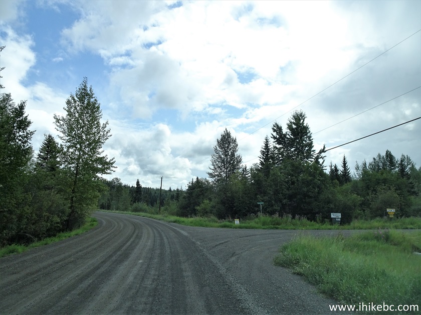
Horsefly Lake Road at Lemon Lake Road turn off near Horsefly
BC Canada
2. Lemon Lake Road after the turnoff.

Lemon Lake Road near Horsefly British Columbia
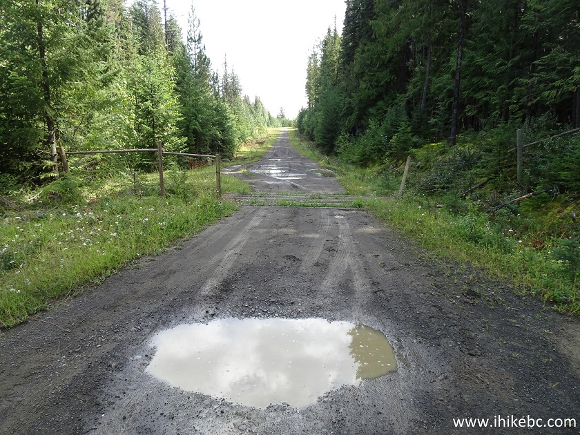
3. There are many potholes on Lemon Lake Road, but most vehicles should be able to make it from Highway 97 all the way to the beginning of Horsefly Mountain Trail, 11 km from Horsefly Lake Road.

Lemon Lake Road
4. After driving on Lemon Lake Road for 2.4 km, turn left onto 8500 Road.
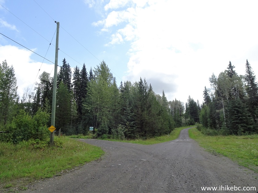
Lemon Lake Road at 8500 Road turnoff near Horsefly BC Canada
5. The beginning of 8500 Road.
8500 Road near Horsefly British Columbia
6. It is about 8.3 km on 8500 Road to Horsefly Mountain Trail.
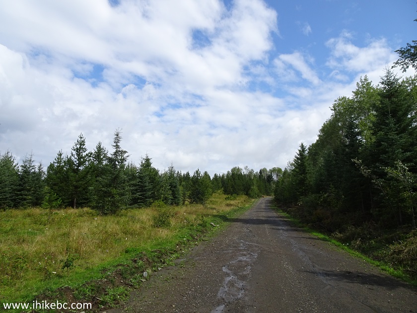
8500 Road near Horsefly BC Canada
7. A local resident is saying hello.
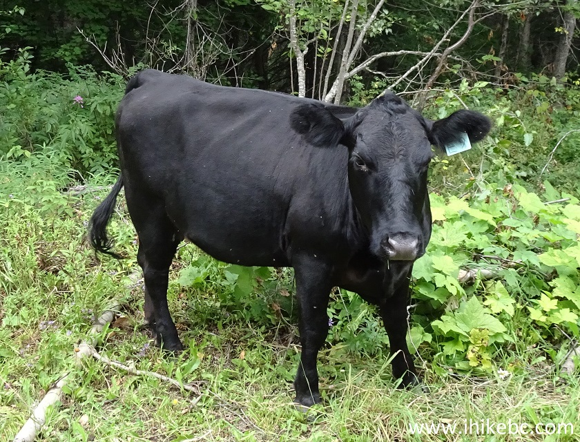
Cow
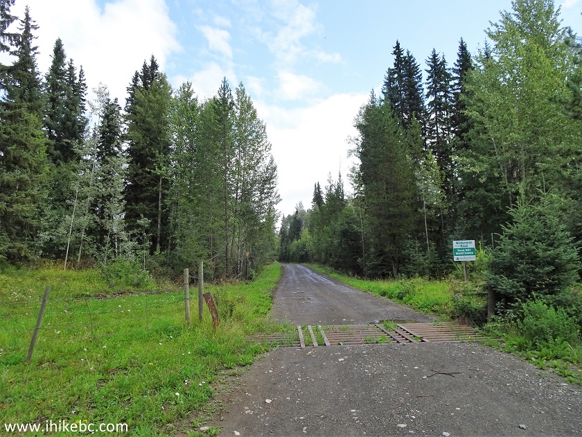
8. There is this prominent landmark, a cattle guard, several hundred meters before the trailhead.
8500 Road near Horsefly Mountain Trailhead
9. The Horsefly Mountain trailhead would be on the right side. Coordinates: N 52⁰22.226' W 121⁰12.523'. Elevation: 1,013 meters. Park nearby, unless you have a high-clearance vehicle (2WD ok), and do not mind getting it scratched.
8500 Road at Horsefly Mountain Trailhead
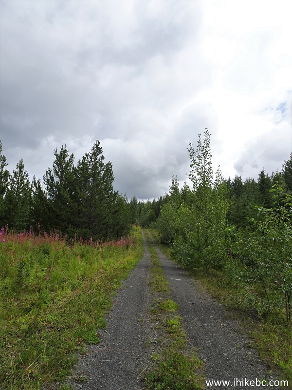
10. The start of Horsefly Mountain Trail.
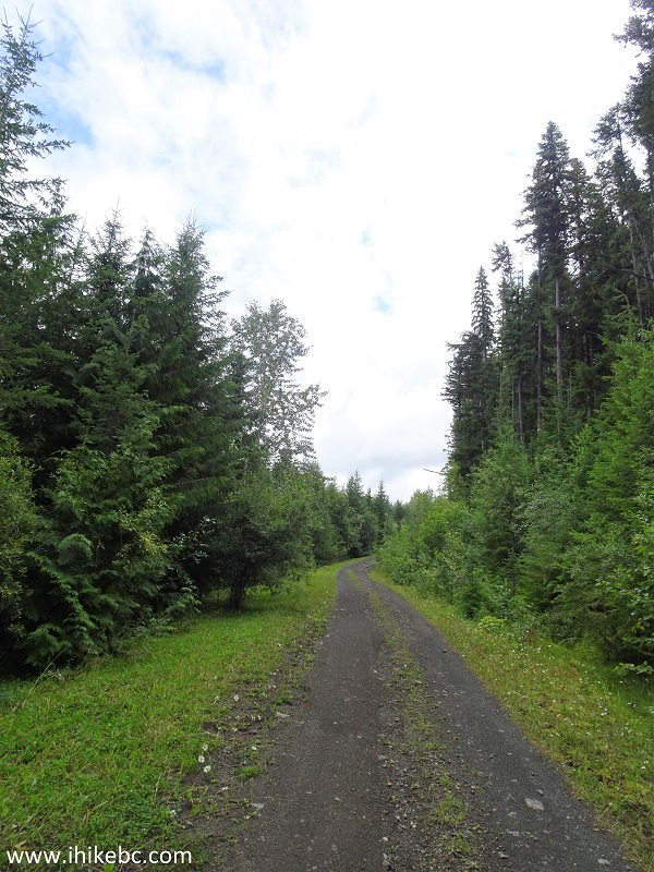
Horsefly Hiking - Horsefly Mountain Trail
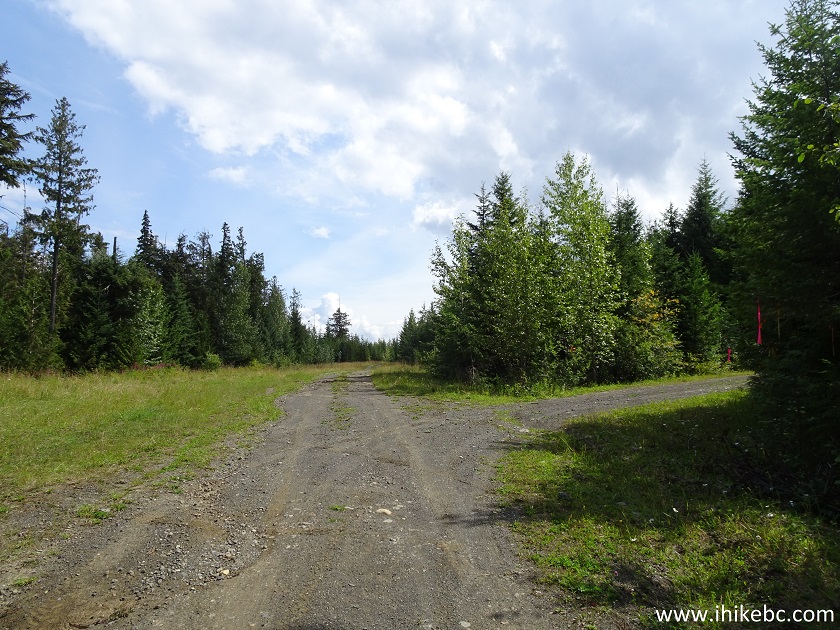
11. Ignore the flagging tape on the right side, and go straight at the split at the 3.7 km mark.
Hiking in Horsefly Area - Horsefly Mountain Trail
12. The lake is to the left, but you would not be able to see it for a long time, as the trees are standing there like a huge green wall.
Horsefly Mountain Trail - Hike in Horsefly Area
13. And here is that split at the 8.1 km mark from the start of the Horsefly Mountain Trail. Coordinates: N 52⁰21.432' W 121⁰06.514'. Elevation: 1,524 meters. Turning right would lead to a neat camping spot 800 meters later (the views from that spot are at the end of the trip report). And, straight ahead, is an ATV-only road / hiking trail to the lake views. We parked nearby, and started hiking.
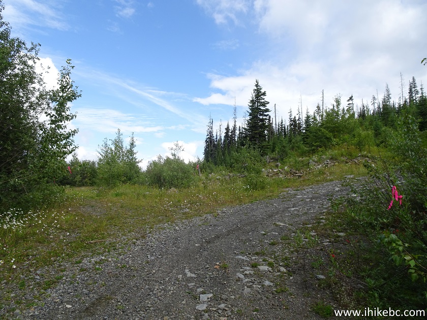
Horsefly Mountain Hike - Horsefly Hike
14. The road up to the 8.1 km split was rough enough, but, after the split, it gets even worse, with deep cross-ditches, and very brushed-in / overgrown conditions.
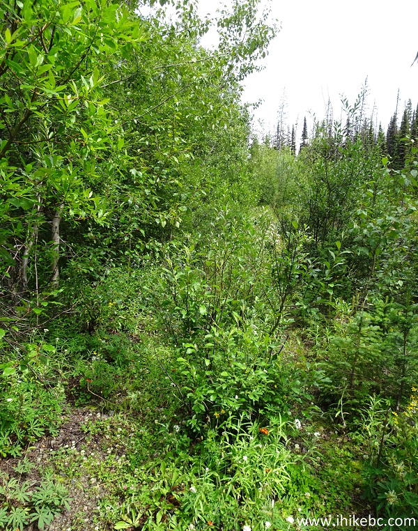
British Columbia Hiking - Horsefly Mountain Trail
15. It's not all bad, and some stretches are fairly decent. Besides, it's just under three kilometers of fairly easy hiking to all the views.
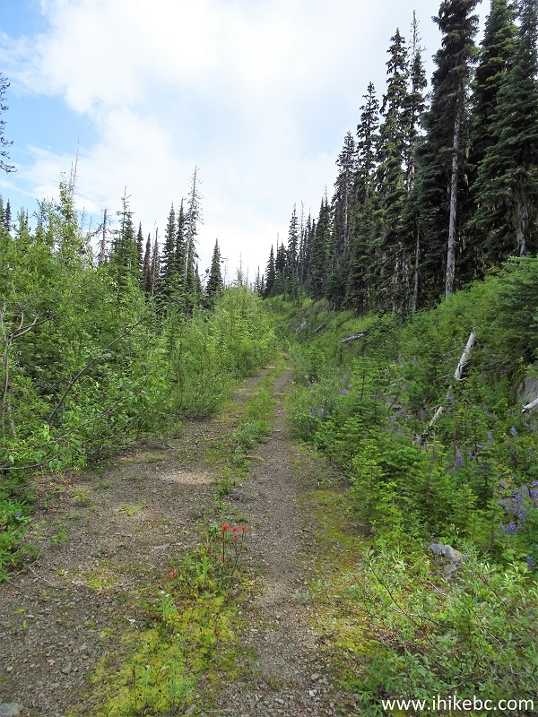
Horsefly Mountain Trail - Horsefly Trail
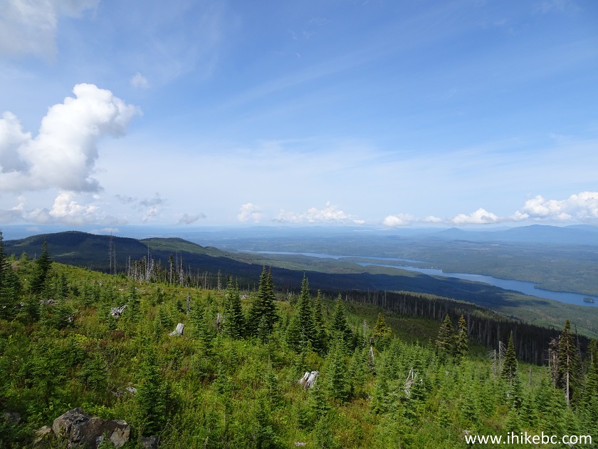
16. There are about seven clearances in the trees, allowing to observe Horsefly Lake. The first such clearance is at the 1.16 km of the hiking trail (counting from the 8.1 km split). All distances for the hike are based on a GPS odometer and are approximate.
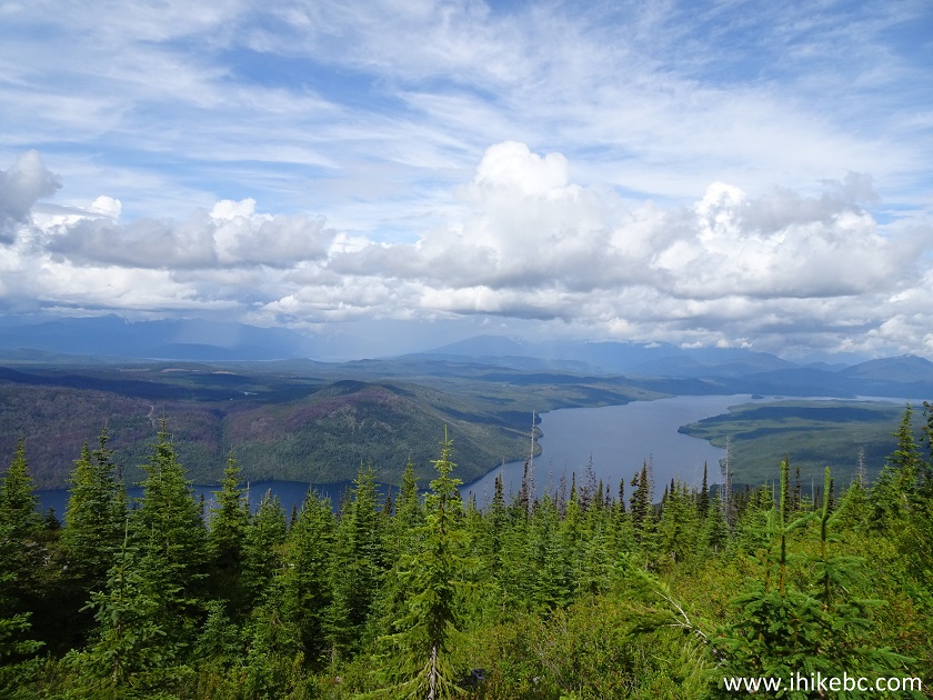
Horsefly Lake seen from Horsefly Mountain Trail near Horsefly
BC Canada
17. This one comes at the 1.5 km mark. It's basically the same view, with more or less obstruction by the trees.
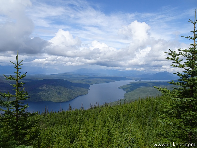
Horsefly Lake British Columbia
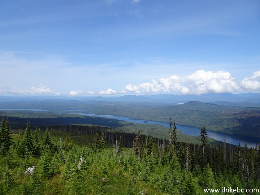
18. A view at 2.9 km.
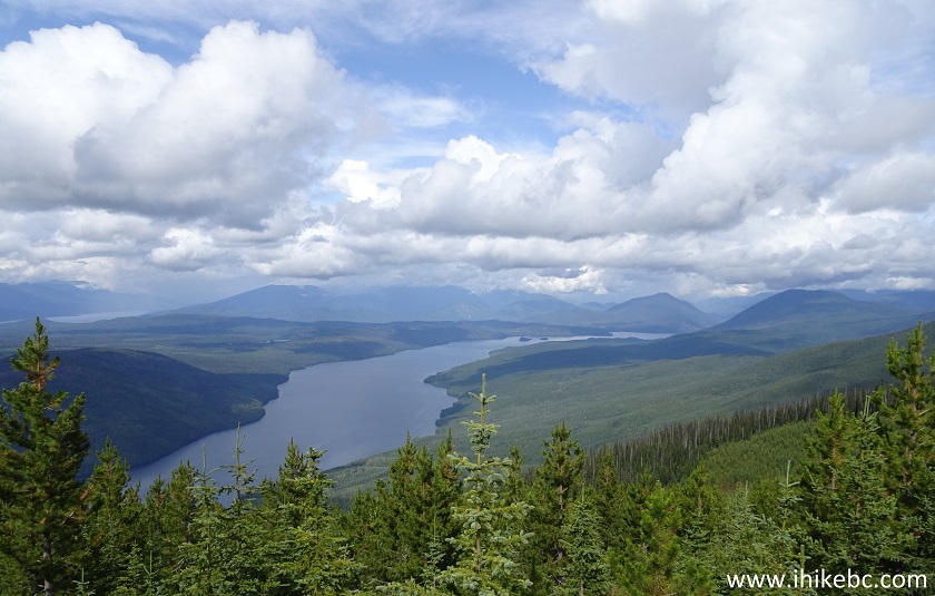
Horsefly Lake BC Canada
19. And a zoomed view from a location nearby. There are a lot of ATV trails on Horsefly Mountain, and it's possible to hike a loop of about 6 km. However, unless you have a GPS with all the roads mapped, it's better to head back the same way you came in. The views are about the same, anyway, and, as mentioned above, there are only about seven locations still clear enough from the trees to allow for a good lake observation.
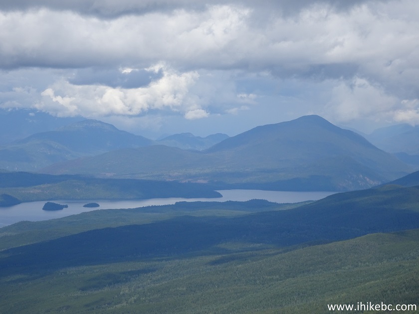
Horsefly Lake
20. And now a view from a camping spot, located 800 meters up the road on the right side, seen in photo #13. Coordinates: N 52⁰21.146' W 121⁰06.974'. Elevation: 1,616 meters. Again, it's quite steep getting up there, and the last 300 meters are very brushed-in, but here is the view.
View from a camping spot on Horsefly Mountain
21. A bit more to the right.
Horsefly Lake British Columbia
22. Quite a sight later in the evening...
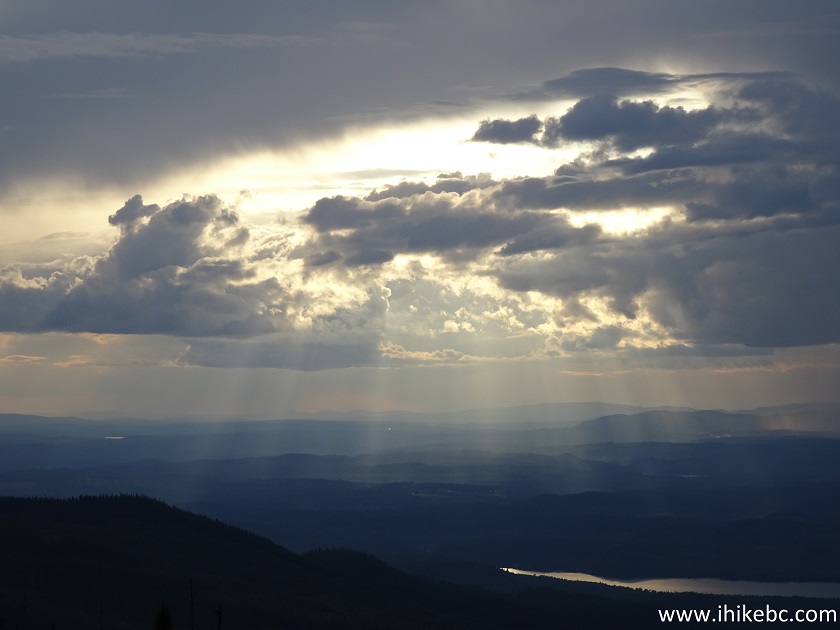
Sun shining through clouds
Here is our video of the views from this location.
More ihikebc videos are on our YouTube Channel.
Horsefly Mountain Trail is a long rough road, but leads to several fine views, and one neat camping area. Recommended.


|
 |
Other Trips in Horsefly BC Area:
|
Horsefly Lake Prov
Park
|
|
Other Trips:


![]()


![]()
![]()
![]()
ihikebc.com Trip 174 - Horsefly Mountain Trail Hike (Near Horsefly BC)