



Trip 338 - June 4, 2026 (Thursday).
Nugedzi Lake Trail Hike
Quadra Island, British Columbia, Canada.
Trailhead Location:
Hyacinthe Bay Rd, 500 meters before Granite Bay Rd,
Western Quadra Island, which itself is located off
Vancouver Island, across from Campbell River, via a 10 minute ferry ride.
Liked: Nugedzi Lakes, shade in the forest, several fine forest scenes, no bugs, ability to hike in a loop via Mt. Seymour Trail.
Of note: Uneven ground, rocks and roots, hiking poles and boots are highly recommended. Some encroaching vegetation. There is one confusing junction after the 3 km mark (see trip report). Overnight parking is not allowed at the parking lot.
Vancouver Island, Victoria & Gulf Islands Backroad Mapbook (9th edition) trailhead location: Page 42 (Campbell River) F4.
Related Websites: Quadra Island Trails Map, Quadra Island Visitor Guide.
Other British Columbia Islands We Have Visited: Bowen Island, Galiano Island, Gambier Island, Mayne Island, Newcastle Island, Pender Island, Salt Spring Island, Saturna Island, Sidney Island, Texada Island.
Follow @ihikebc Tweet
Nugedzi Lake Trail is a moderately difficult hike of 4.3 km long (one way) to a pair of rather small lakes - Nugedzi Lake and Little Nugedzi Lake. There is a long hike in a forest, and then you come to these lakes and have the ability to walk around and check them out. There is also a 500-meter-long connector right by the lakes to Mt. Seymour Trail - if you take the connector and reach that trail, then it's either just over a kilometer to the summit of Mt. Seymour (with fairly decent views), or 2.6 km to Mt. Seymour trailhead on Granite Bay Road. At that point, it's 1.9 km to Hyacinthe Bay Rd, and then 0.5 km to Nugedzi Lake Trail access road, which is 200 meters long. So, it's possible to hike in a loop. It's also a good idea to check Nugedzi Lakes, if you hike Mt. Seymour and vice versa, as these are rather short trails, and not overly difficult either, so you would be able to visit both destinations without hiking two trails, if you don't feel like doing a loop.
When hiking Nugedzi Lake Trail be aware of a very confusing junction coming after a boardwalk which arrives soon after the 3 km mark of the trail (figurative mark, as there are no literal ones on this trail). Nugedzi Lake Trail makes a sharp left turn there, but a more prominent trail goes to the right, passes by a "Mt. Seymour Trail" sign (which we didn't think much of, as we thought it meant Mt. Seymour peak connector was ahead) and ends up in 800 meters after a long descent at...Mt. Seymour Trail! Though way closer to the trailhead of Mt. Seymour than the connector you take after getting to Nugedzi Lakes. THIS particular connector's entrance off Mt. Seymour Trail is so overgrown that we totally missed it when hiking Mt. Seymour Trail the day before, so imagine our surprise when we arrived to what looked like a T-junction, looked at the GPS, and realized it was Mt. Seymour Trail, not Nugedzi Lake Trail which we thought we were hiking. So, we had to go back for 800 meters, found the correct turn, and carried on to Nugedzi Lakes. Check the trip report below and don't make the same mistake, as it added an extra 1.5 km of hiking, much of it a strenuous climb on the way back to Nugedzi Lake Trail.
* All trail distances are based on a GPS odometer and are approximate.
Here is Our Video of Hiking Nugedzi Lake Trail on Quadra Island, BC.
More ihikebc videos are on our YouTube Channel.
1. Here is a Google Maps location of Nugedzi Lake on Quadra Island, BC.
2-3. Nugedzi Lake Trail access road starts off Hyacinthe Bay Road, 500 meters before its junction with Granite Bay Road (if driving from Quathiaski Cove Ferry Terminal). Coordinates: N 50⁰09.528' W 125⁰15.280'. Elevation: 200 meters.
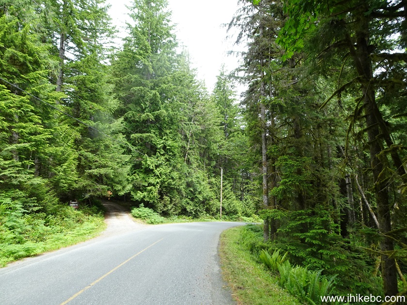
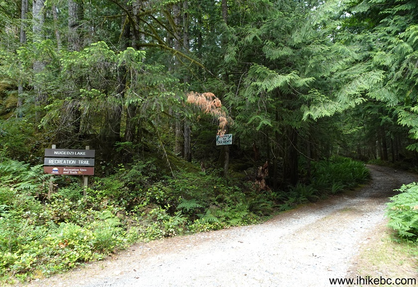
4. The access road is 200 meters long. Here we are at the end of the road.
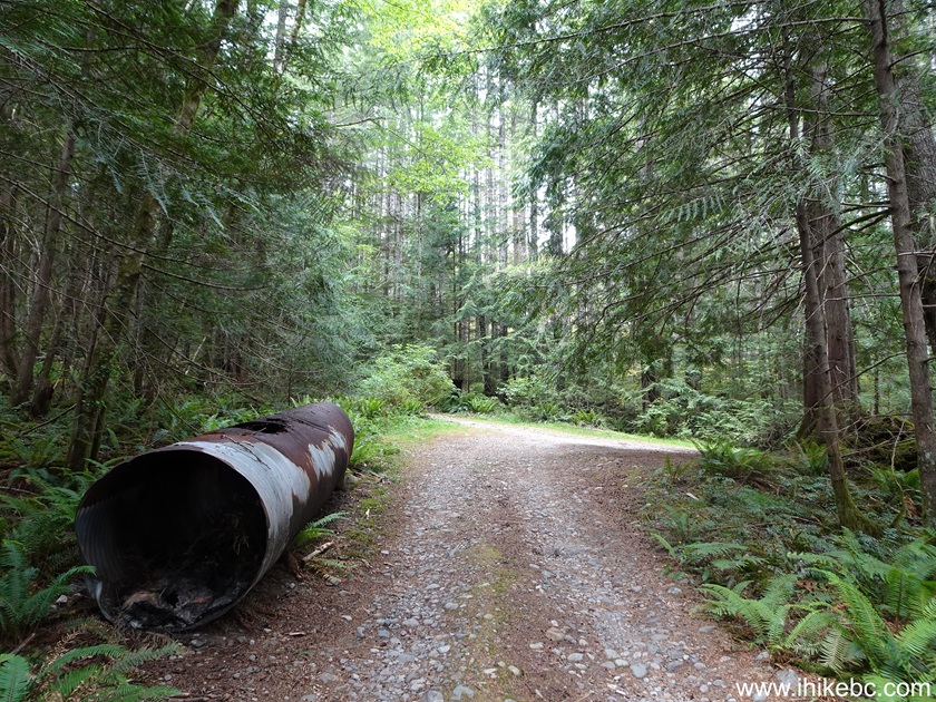
5. A parking lot for about 10 vehicles is on the right...

6...and the trailhead is on the left. Coordinates: N 50⁰09.604' W 125⁰15.385'. Elevation: 210 meters.

7. The hike begins. 80 meters from the trailhead.
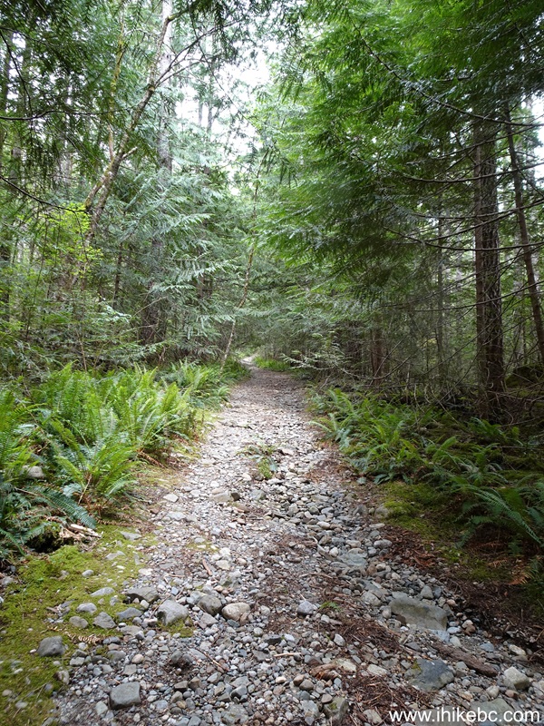
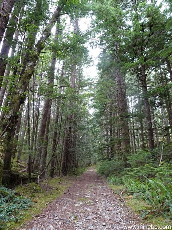
8. At the 460 meter mark of Nugedzi Lake Trail on Quadra Island, BC, Canada.
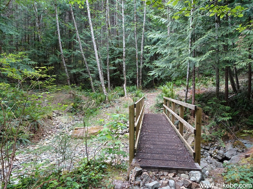
9-10. There is a bridge at 740 meters of the trail. Turn right at the junction after the bridge.
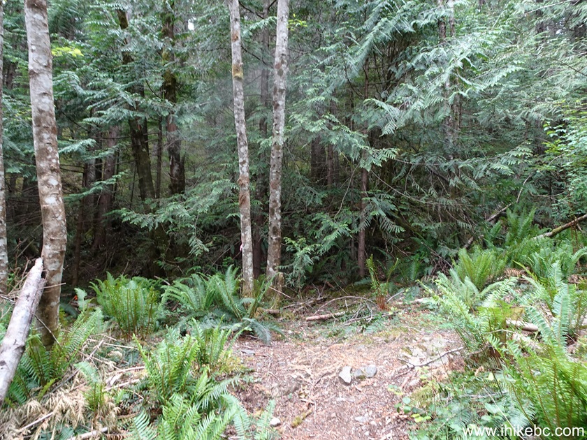
11. At 860 meters of Nugedzi Lake Trail.

12. Nugedzi Lake Trail is moderately difficult, with some mildly steep long sections. At 2.38 km here.
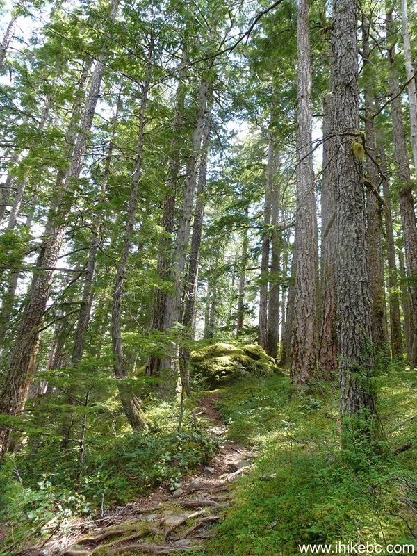
13-15. At 2.58 km, there is a junction, where to the left is a Lily Pond lookover, and a Chinese Mountain connector.
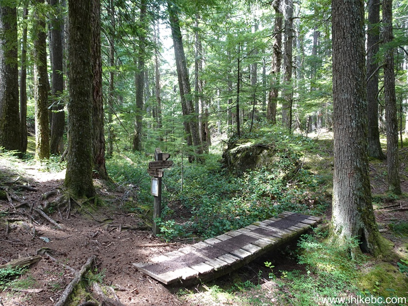
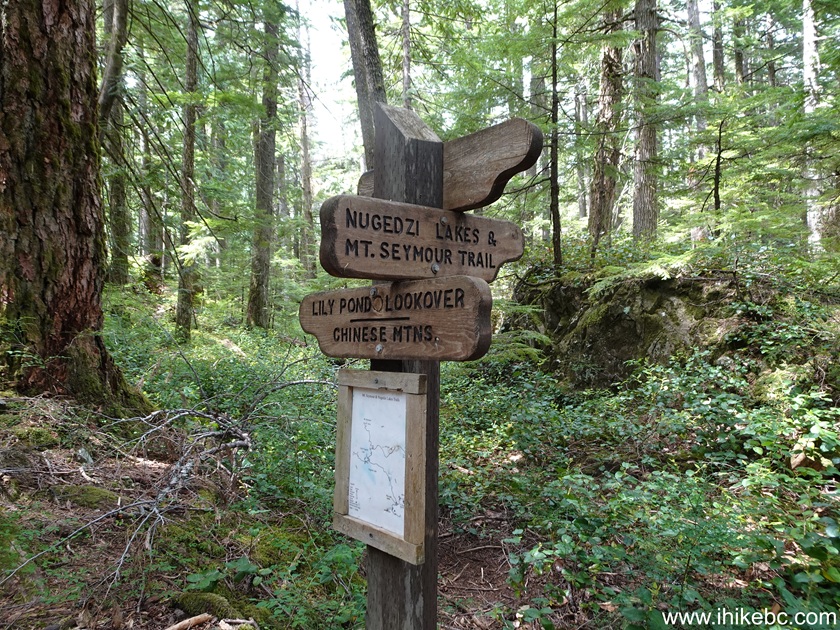
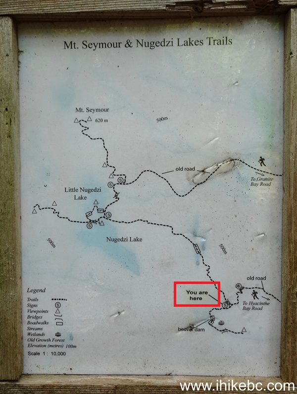
16. Nugedzi Lake Trail on Quadra Island, BC at 2.69 km from the trailhead.
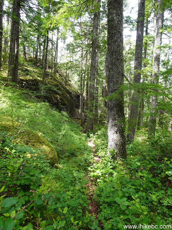
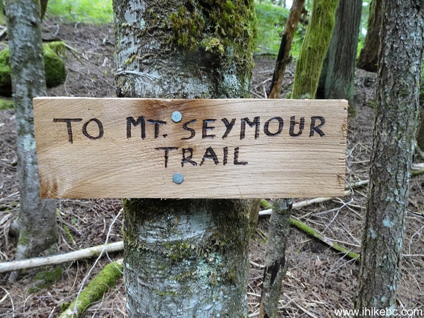
17. At 3.14 km comes a boardwalk. After the boardwalk, the trail to Nugedzi Lakes makes a sharp right turn. But it's not obvious at all. A much more obvious trail veers to the right, and a sign stating "To Mt. Seymour trail" shortly afterwards confuses even further, as there IS a Mt. Seymour connector near Nugedzi Lakes. But that's not it. If you continue on this "To Mt. Seymour"-signed trail, you would end up descending for about 800 meters before ending up on Mt. Seymour Trail fairly close to its start. Now, if you were to make a left turn at THAT point, you WOULD eventually end up at Nugedzi Lakes via a Mt. Seymour connector, anyway.
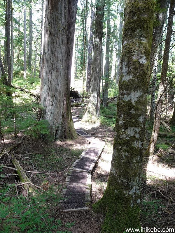
18. So, make sure to make a sharp left turn about 20 meters after the boardwalk ends, if you intend to hike to Nugedzi Lakes.
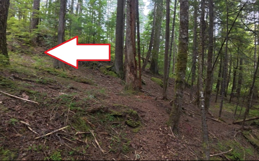
19. Here we are standing at that sharp left turn. We see the trail back to the trailhead on the left (yellow arrow shows where we just came from), and the trail to Nugedzi Lakes is indicated with a white arrow. Yes, not very obvious. Coordinates: N 50⁰10.230' W 125⁰17.115'. Elevation: 525 meters.
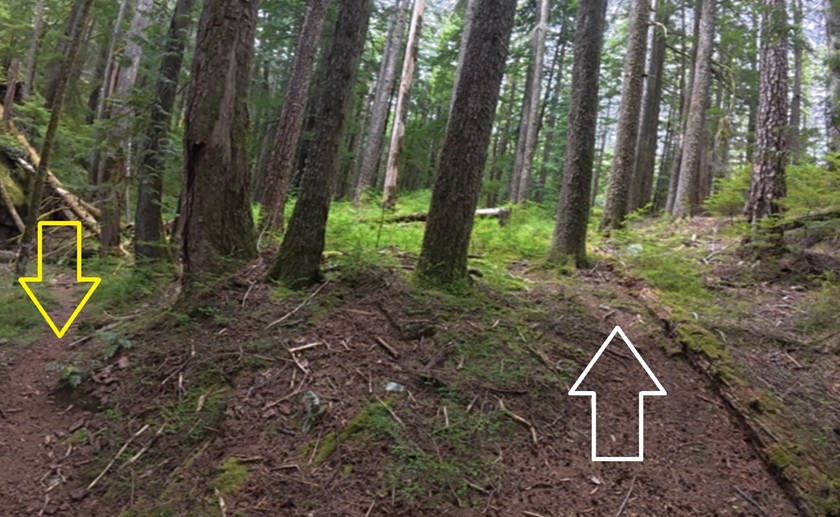
20. If you've reached this sign, you made a wrong turn to the right.
Check out Nugedzi Lake Trail video starting at 06:25 for a video review of this tricky spot.
21. Nugedzi Lake Trail at 3.94 km.
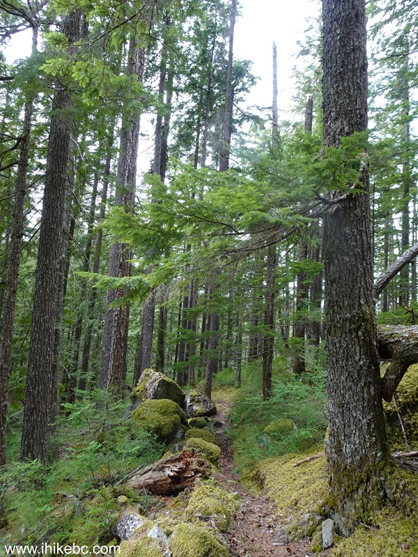
22-24. At 4.05 km, we are at a key junction, with short trails to Nugedzi Lake and Little Nugedzi Lake, and a 500-meter-long connector to Mt. Seymour Trail. Coordinates: N 50⁰10.348' W 125⁰17.726'. Elevation: 520 meters (320 meters elevation gain from the trailhead, for an average grade of 8%).
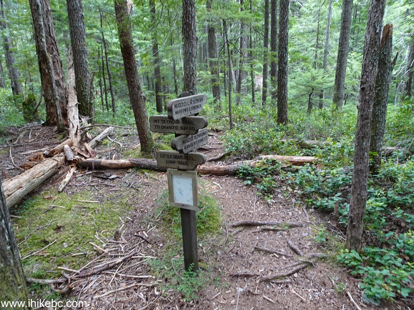
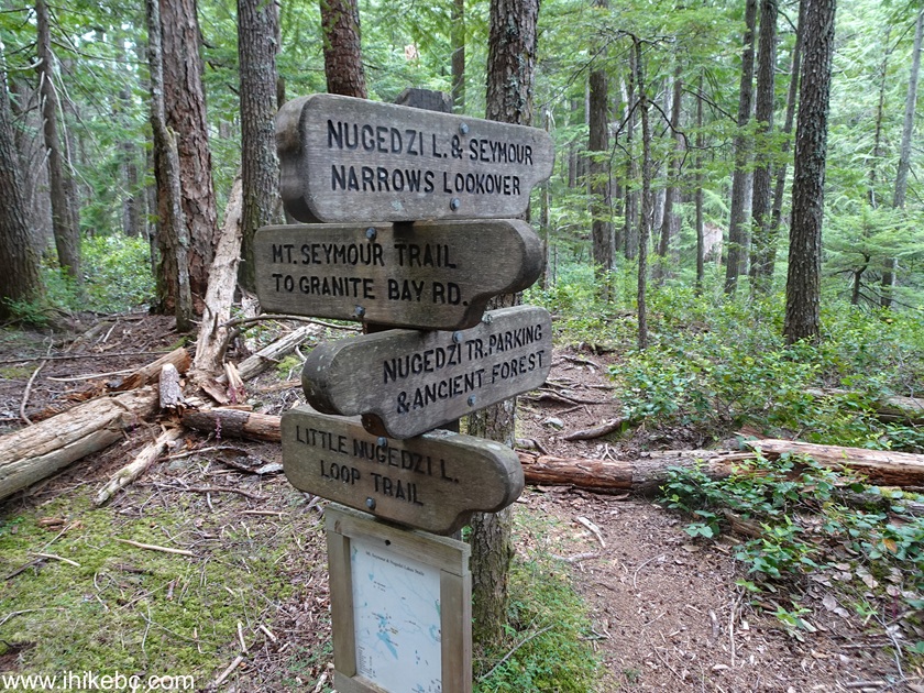
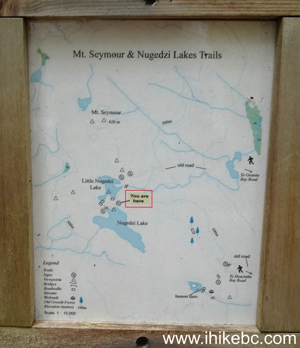
25. At first, we checked out Little Nugedzi Lake. At 50 meters from the junction above.
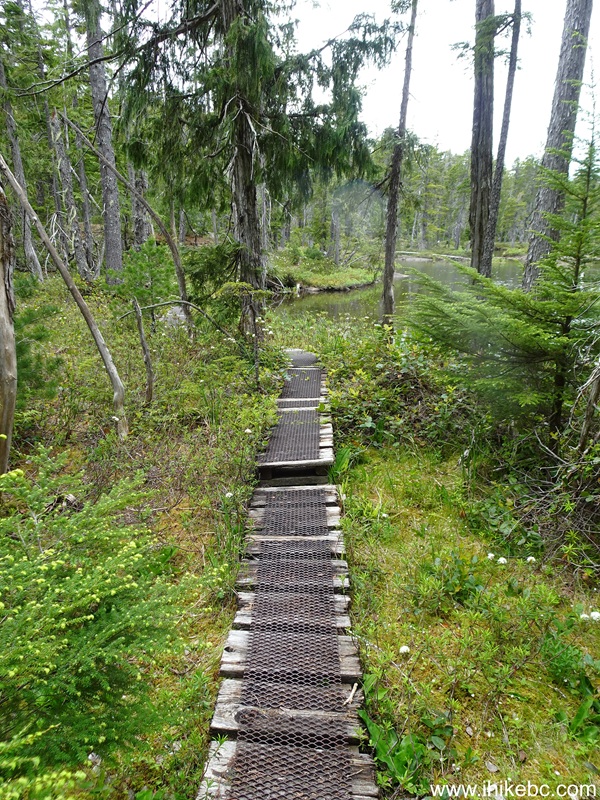
26. 50 meters later, Little Nugedzi Lake. Apparently, it is possible to walk for a bit around it, but we headed back due to rain.
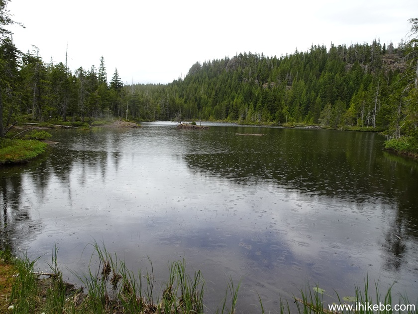
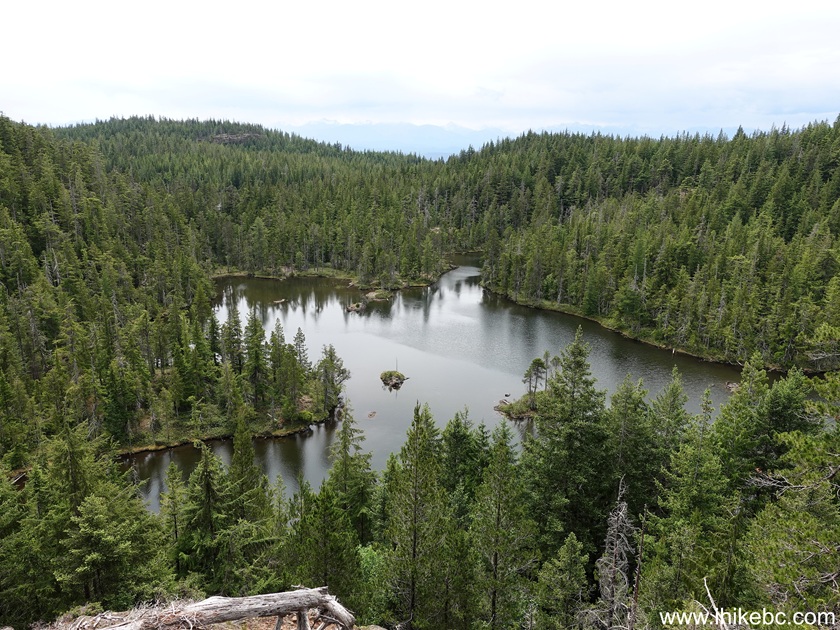
27. Little Nugedzi Lake view from Mt. Seymour Trail.
28. We then returned to the junction seen in photos #22-24, and headed to Nugedzi Lake. There is apparently a Seymour Narrows lookover there too, but we didn't spend much time at the lake as the rain was getting going.
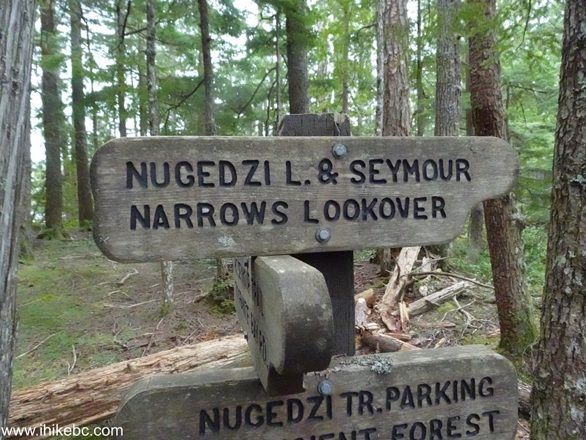
29. At 95 meters from the junction.
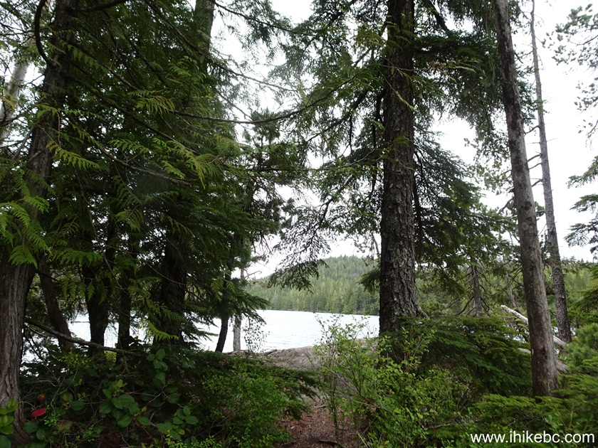
30. Nugedzi Lake.
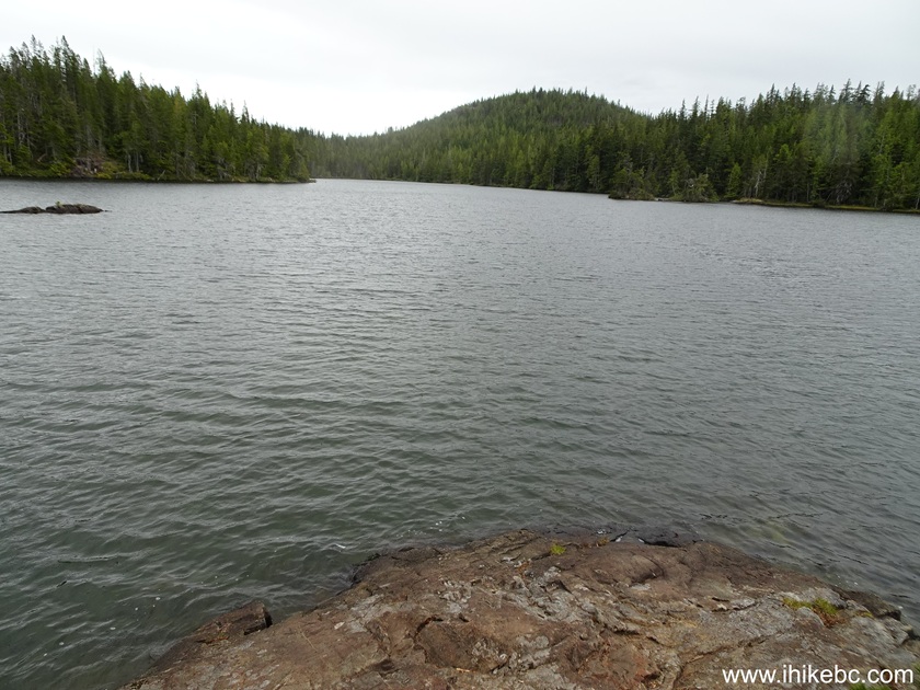
Check out Nugedzi Lake video starting at 09:25 for a view of Nugedzi Lake.
More ihikebc videos are on our YouTube Channel.
Nugedzi Lake Trail has several good forest views, and decent lake views as well. As a bonus, there is a short connector trail to Mt. Seymour. Recommended.


%20small.JPG)
|
 |
Other Trips:




ihikebc.com Trip 33
8 - Nugedzi Lake Trail Hike (Quadra Island, BC)