Trip 331 - May 12, 2025 (Monday)
Mount Pocahontas Trail Hike
Texada Island, British Columbia, Canada
Page 2 of 2
Liked: Decent views from two main viewpoints, shade in the forest, no bugs, a rather short and mostly easy trail with several moderately difficult sections.
Of Note: Steep unbarricaded dropoffs at both viewpoints. Uneven ground, rocks and roots, some windfall. Hiking poles and boots are recommended.Vancouver, Coast & Mountains Backroad Mapbook (2019 edition) trailhead location:
Page 19 (Saltery Bay) B6. Follow @ihikebc TweetMount Pocahontas Trail is located on Texada Island, which is a Gulf Island found between Sunshine Coast and Vancouver Island, pretty much across from Powell River.
This easy-to-moderately-difficult trail mostly runs along a forest service road, which can be tackled by capable 4x4 vehicles, and then becomes a hike-only trail with two paths at the end - the first leads to a viewpoint at the former location of the first ever Canadian fire lookout, and the second is near an unusual reflection screen tower. Both viewpoints feature island and water views.
To get to the trailhead from Gillies Bay, drive on Gillies Bay Road, turn left onto Shelter Point Road, left onto Central (High) Road, then right onto Pocahontas Main Forest Service Road. Or, if driving from Van Anda, take Central (High) Road, and then turn left onto Pocahontas Main FSR. A 4x4 would allow you to drive the first 2 km of the trail, and then it's a 410 meter-hike to the first viewpoint, return to the main trail, and hike another 1.1 km to the second viewpoint (minor windfall on the trail there).
*All trail distances are based on a GPS odometer and are approximate.
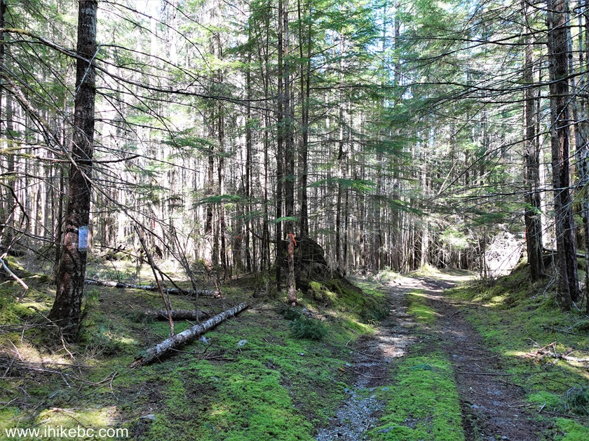
26. We then returned to the split seen in photo #12, and turned left to proceed to the second viewpoint. Here we are 30 meters after the turn.

27-28. 185 meters from the split, make a left turn. A sign says that a reflection screen tower is in that direction.

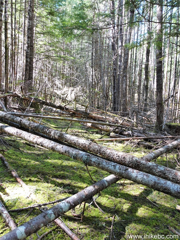
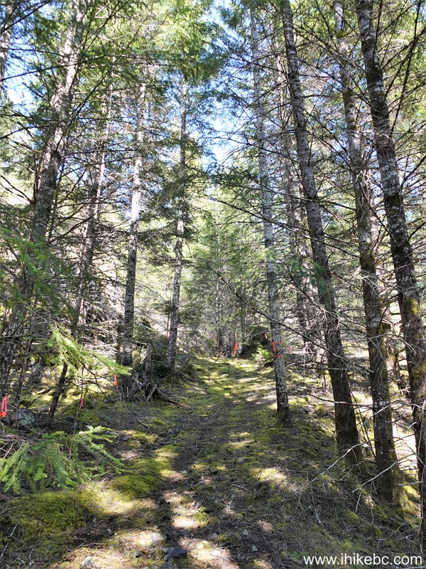
29. A mini-obstacle course ensues with several fallen trees across the path. At 15 meters after the turn.
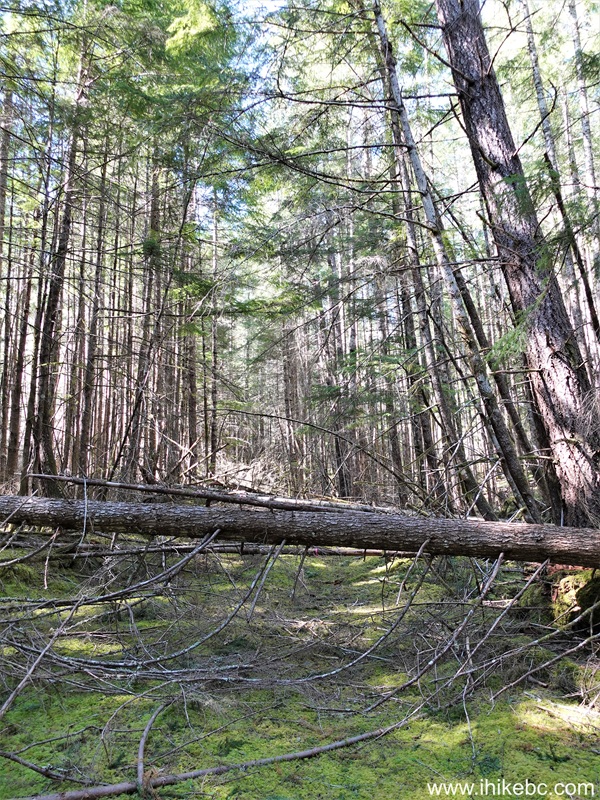
30. Ten meters later.
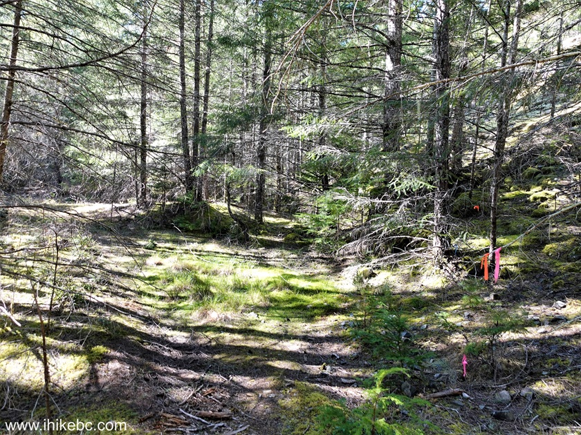
31. It gets better - at 280 meters after the turn.

32-33. Approximately 530 meters after the turn, don't miss a right turn to head up the hill. We missed this turn and spent quite some time wandering around the forest.
34. At 620 meters now.

35. A bit of steepness at the 830 meter mark.

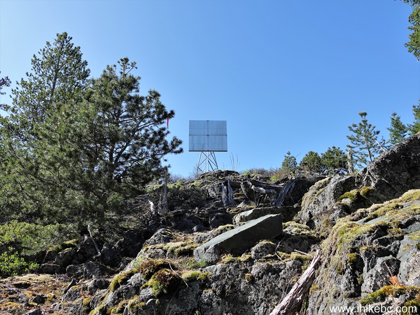
36-38. At 910 meters, reflection screen tower is straight ahead.
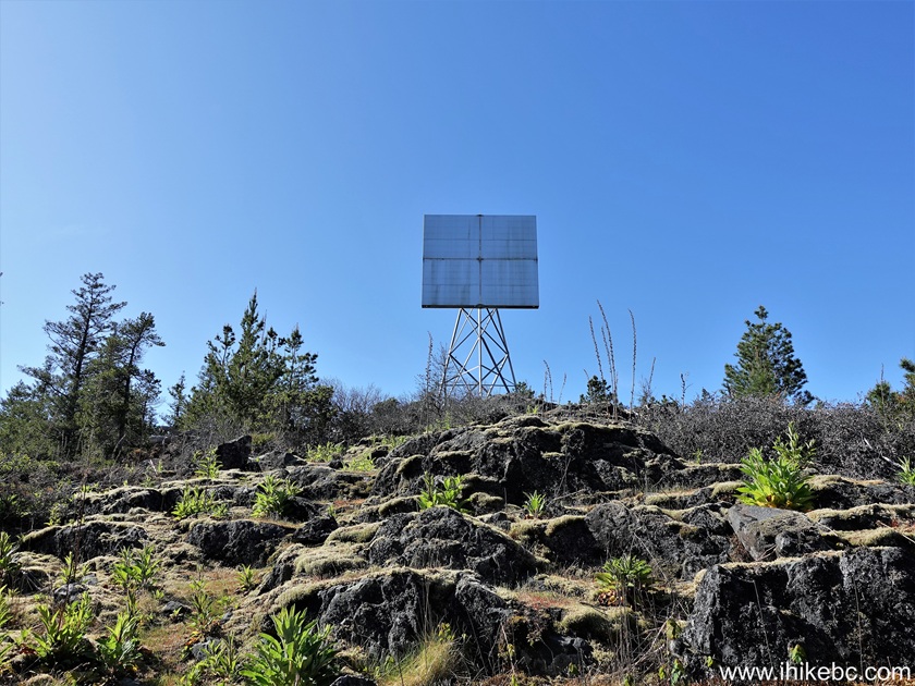

39. At 970 meters, we have reached Mount Pocahontas second viewpoint. Coordinates: N 49⁰42.687' W 124⁰26.419'. Elevation: 470 meters. Watch out for steep unbarricaded dropoffs here as well.
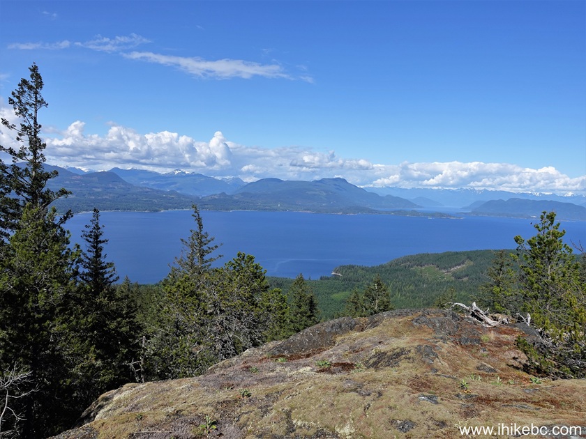
40-44. Left to right followed by a panorama.


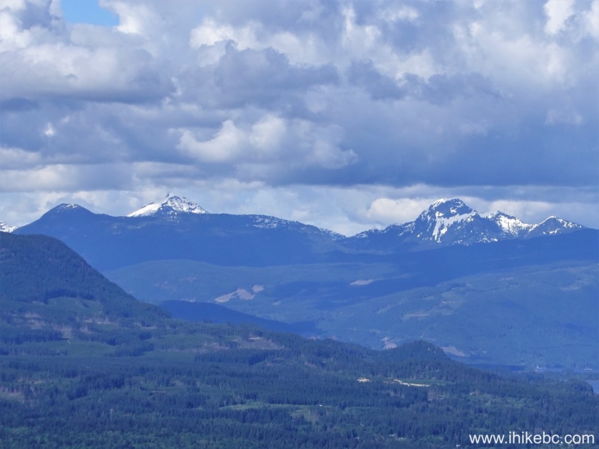
45-46. Here are zoomed mountain views from this viewpoint.
Here is Our Video of the views from this
location.
More ihikebc videos are on
our YouTube Channel.
Mount Pocahontas is a pleasant and fairly easy trail, leading to several fine views. Recommended.


|
 |
Other Trips:


![]()


![]()
![]()
![]()
ihikebc.com Trip 331 - Mount Pocahontas Trail Hike (Texada Island BC)
Page 2 of 2