



Trip 341 - June 11, 2026 (Thursday).
Newton Lake / Waiatt Bay Trail Hike
Quadra Island, British Columbia, Canada.
Trailhead Location:
Quadra Island (off Vancouver Island, across from Campbell
River via a 10 minute ferry ride), about 22 km from Quathiaski Cove Ferry
Terminal, via Quathiaski Cove Road, Harper Road, Heriot Bay Road, West Road,
Hyacinthe Bay Road, Granite Bay Road and Clear Lake Mainline.
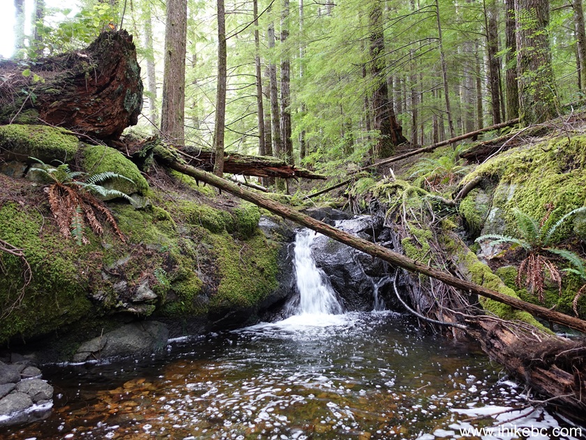
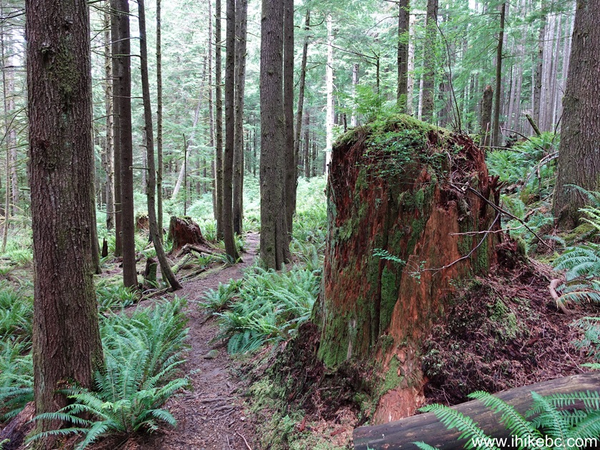
Liked: Newton Lake, Waiatt Bay, mini-waterfall, fern along the trail, large stumps in the forest (Waiatt Bay Trail), shade in the forest, no bugs.
Of note: Uneven ground, rocks and roots, hiking poles and boots are recommended.
Vancouver Island, Victoria & Gulf Islands Backroad Mapbook (9th edition) trailhead location: Page 42 (Campbell River) F2.
Related Websites: Small Inlet Provincial Park, Quadra Island Trails Map, Quadra Island Visitor Guide.
Other British Columbia Islands We Have Visited: Bowen Island, Galiano Island, Gambier Island, Mayne Island, Newcastle Island, Pender Island, Salt Spring Island, Saturna Island, Sidney Island, Texada Island.
Follow @ihikebc Tweet
Newton Lake / Waiatt Bay Trail starts off Clear Lake Mainline road, just over 500 meters after turning from Granite Bay Road. Once you drive for 10 km down Granite Bay Road after it starts off Hyacinthe Bay Road, you are almost at Granite Bay. Upon crossing a short bridge, there is an intersection where Kanish View Drive is to the left (leading shortly to Granite Bay Regional Park), and Clear Lake Mainline to the right. Make a right turn and get to the trailhead within a few minutes. The road all the way to the trailhead is in good shape, and is easily doable for any regular vehicle.
At first you hike for 3.3 km to Newton Lake. Then, Waiatt Bay Trail starts and goes for another 3.07 km before reaching the bay. The lake is fairly picturesque, and so is Waiatt Bay, though this is definitely not the best hike on Quadra Island. That said, the trail is rather easy, and makes a pleasant hike.
* All trail distances are based on a GPS odometer and are approximate.
Here is our First Person View of Hiking Newton Lake / Waiatt Bay Trails.
More ihikebc videos are on our YouTube Channel.
1. Here is a Google Maps location for Newton Lake Trail.
2. We are Northbound on Granite Bay Road, about 10 km after it starts off Hyacinthe Bay Road. Granite Bay Road ends in a few hundred meters. To the left is Kanish View Drive to Granite Bay Provincial Park. To the right is Clear Lake Mainline to Newton Lake trailhead.

3. Clear Lake Mainline immediately after turning from Granite Bay Road.
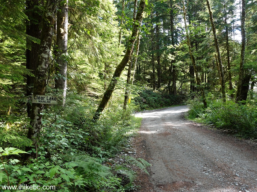
4. Clear Lake Mainline at 260 meters.

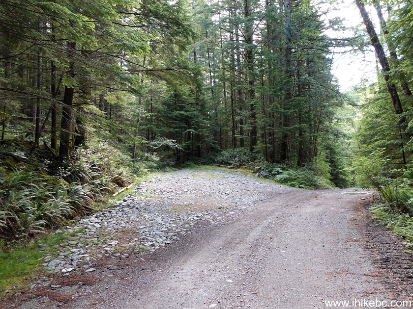
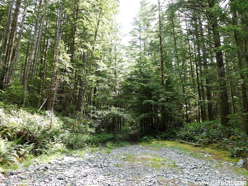
5-7. At 570 meters of Clear Lake Mainline, Newton Lake trailhead is on the left side. Coordinates: N 50⁰14.104' W 125⁰17.609'. Elevation: 30 meters. Several good pullouts nearby to park your vehicle.
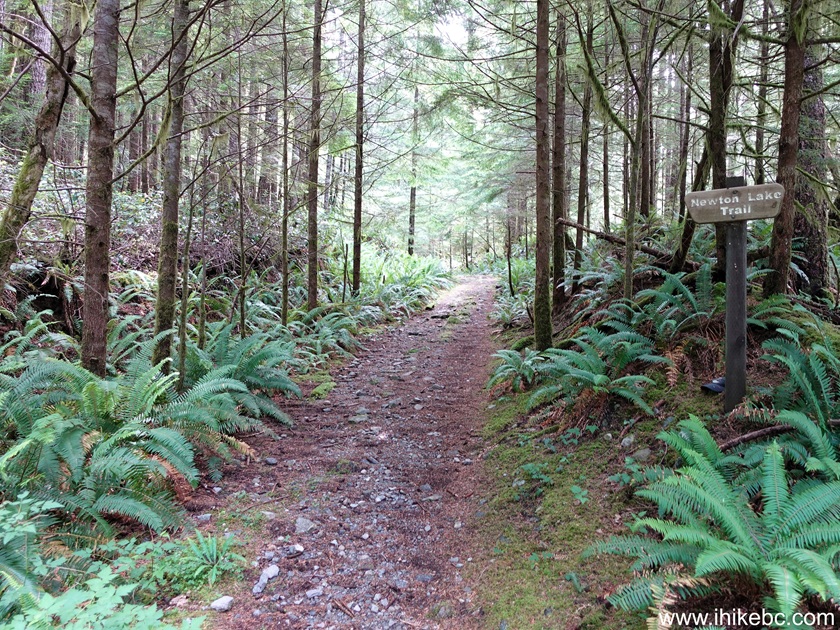
8. Newton Lake Trail at 115 meters.
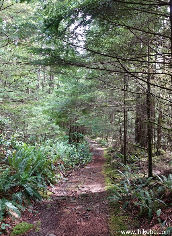
9. Now at 200 meters of Newton Lake Trail on Quadra Island, BC.
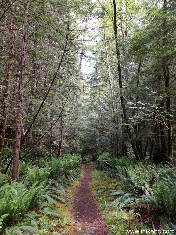
10. At 240 meters, a long stretch of stones begins and lasts for over 500 meters as you gain altitude.
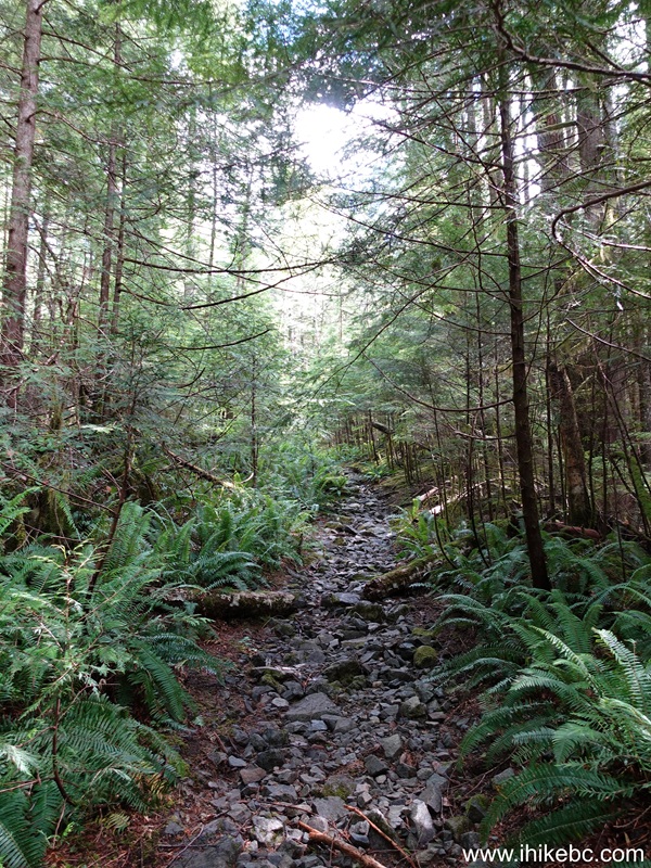
11. At 560 meters of the trail.
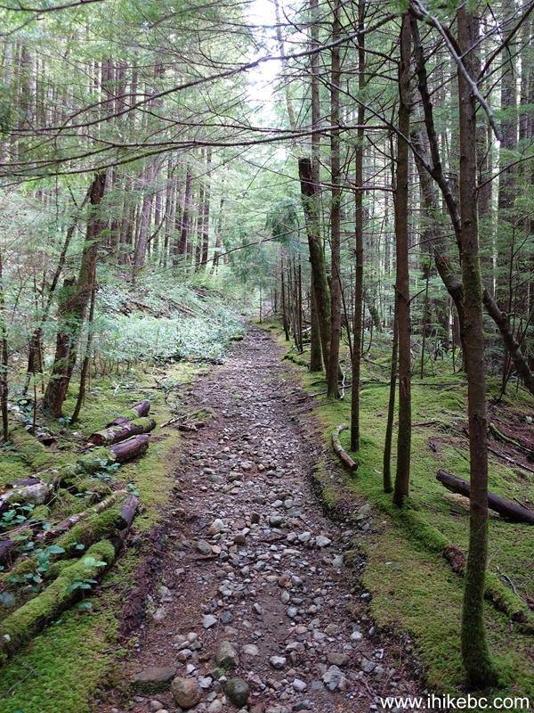
12. At 1.44 km, we are entering Small Inlet Provincial Park.
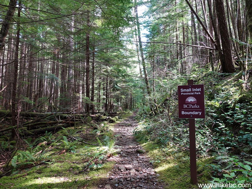
13. A good lake view at 2.03 km. Probably not Newton Lake yet.
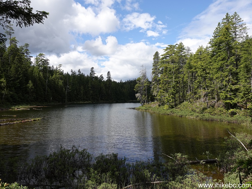
14. At the 2.11 km mark. The trail goes through a forest all the time.
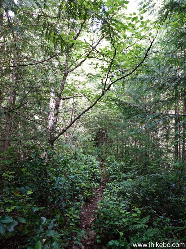
15. At 2.30 km of Newton Lake Trail.
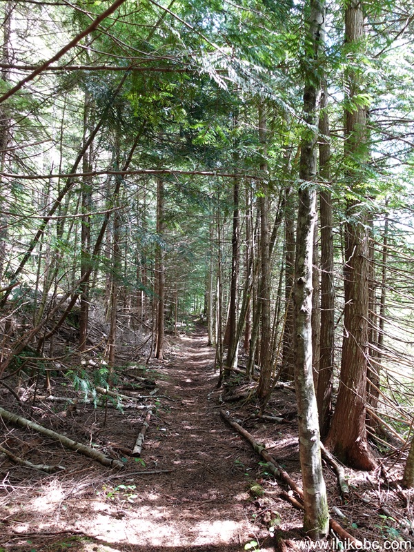
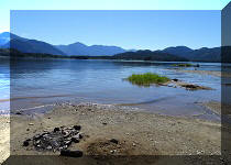
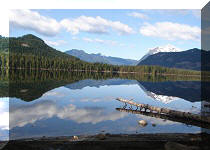
16. This is definitely Newton Lake. At 2.63 km.
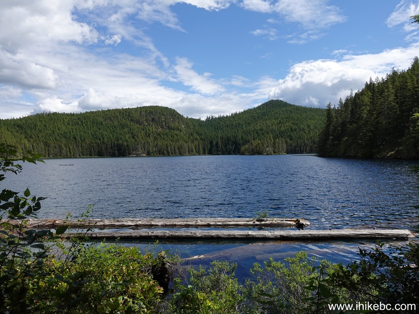
17. 70 meters later. Coordinates: N 50⁰14.926' W 125⁰16.570'. Elevation: 135 meters.

18. Back in the forest at 3.19 km.
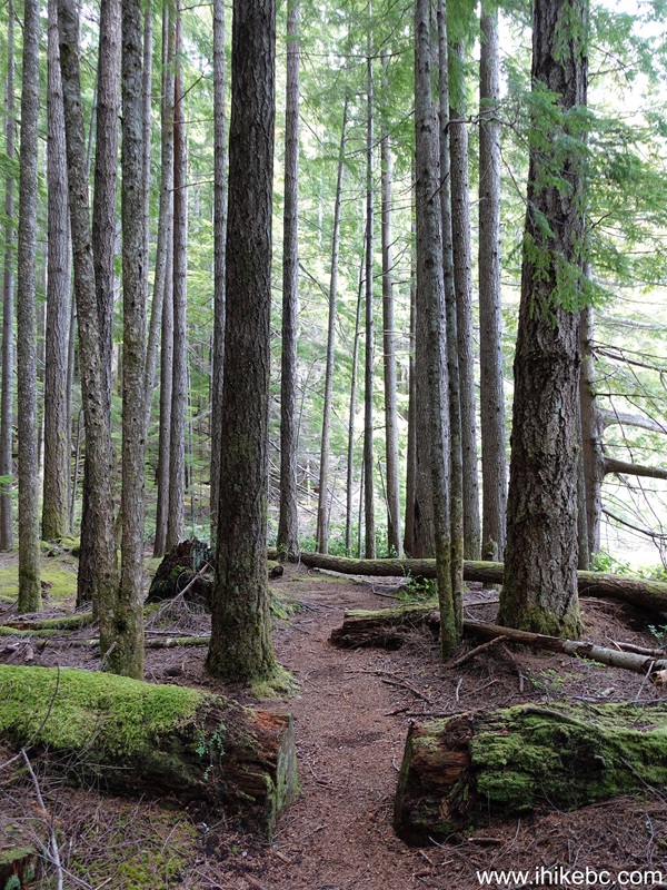
19. At 3.25 km, Newton Lake Trail is close to its end. Need to cross a creek on these flimsy logs, but nothing too complicated.
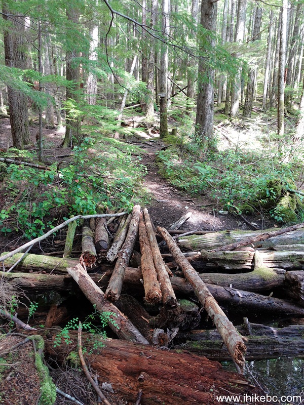
20. Right after the crossing, Waiatt Bay Trail begins. Coordinates: N 50⁰15.139' W 125⁰16.442'. Elevation: 135 meters. Turn left.
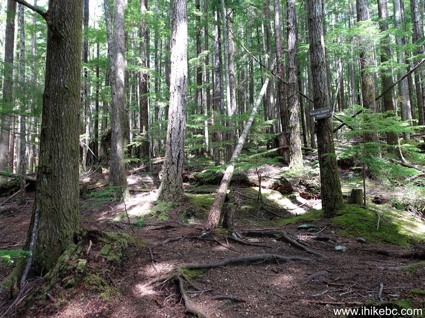
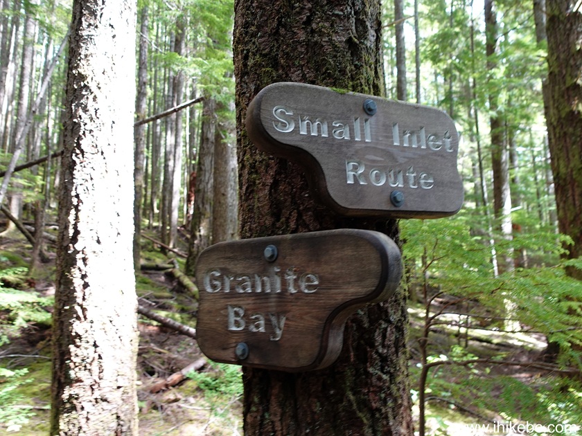
21. The sign says "Small Inlet Route", perhaps because there is a "Small Inlet" about 0.6 km before Waiatt Bay, but that inlet looks very unappealing, and the path (a few hundred meters-long) to it is barely visible, so feel free to go by that Small Inlet turnoff (if you will even see it) and head to Waiatt Bay on the main trail.
22. At 40 meters of Waiatt Bay Trail on Quadra Island, British Columbia, Canada.
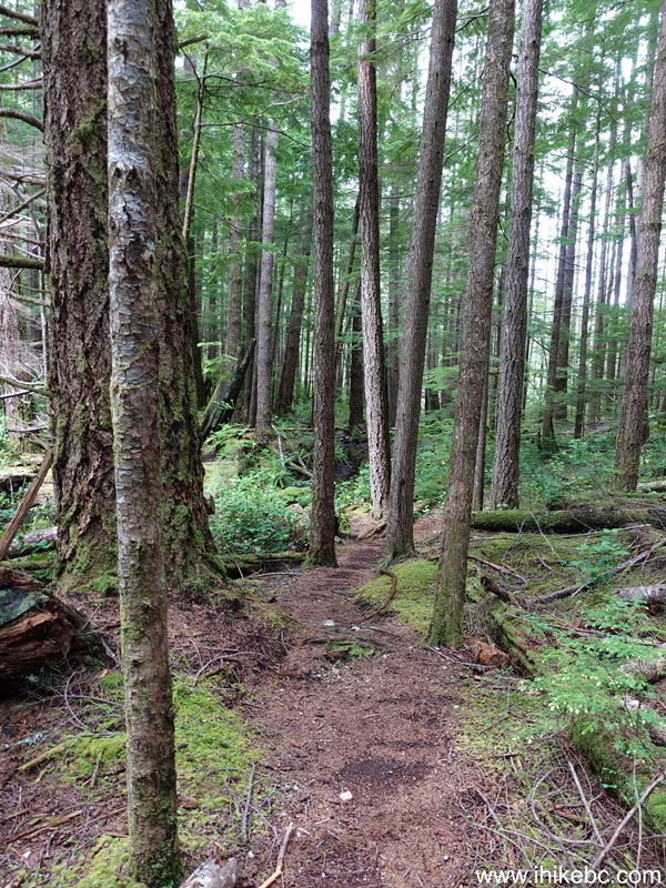
23. Now at 410 meters of the trail. A pleasant hike in a forest.
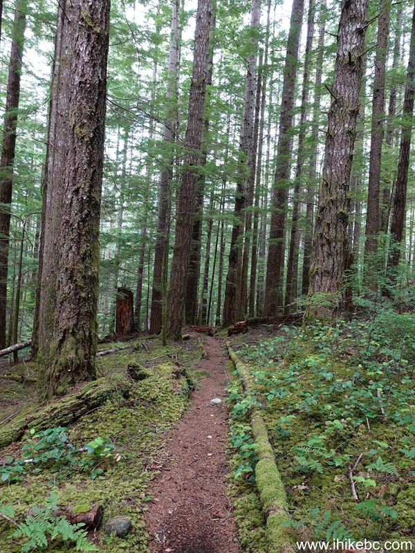
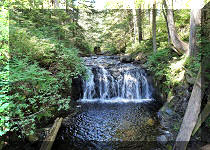
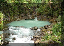
24-25. Very shortly, there is a fine mini-waterfall on the left side about 70 meters from the trail.
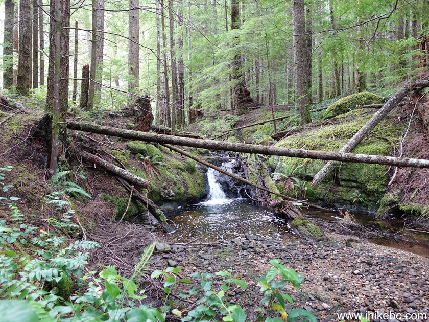
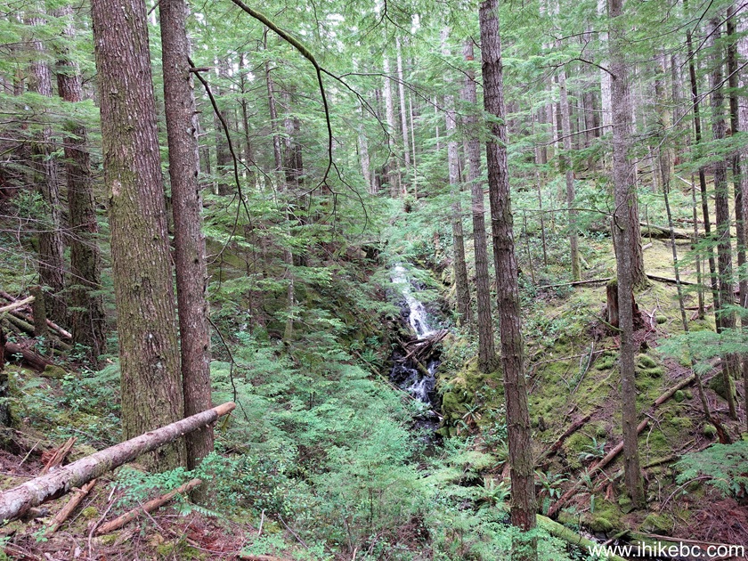
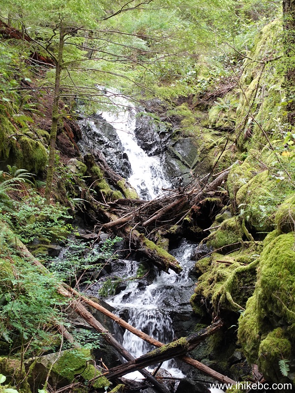
26-27. And a few hundreds meters after the mini-falls, there is a larger waterfall. It's not that great-looking, and the terrain is pretty steep.
28. At 1.09 km of Waiatt Bay Trail, we pass by one of several large stumps left from old logging days.
29. Now at 1.30 km from the end of Newton Lake Trail.
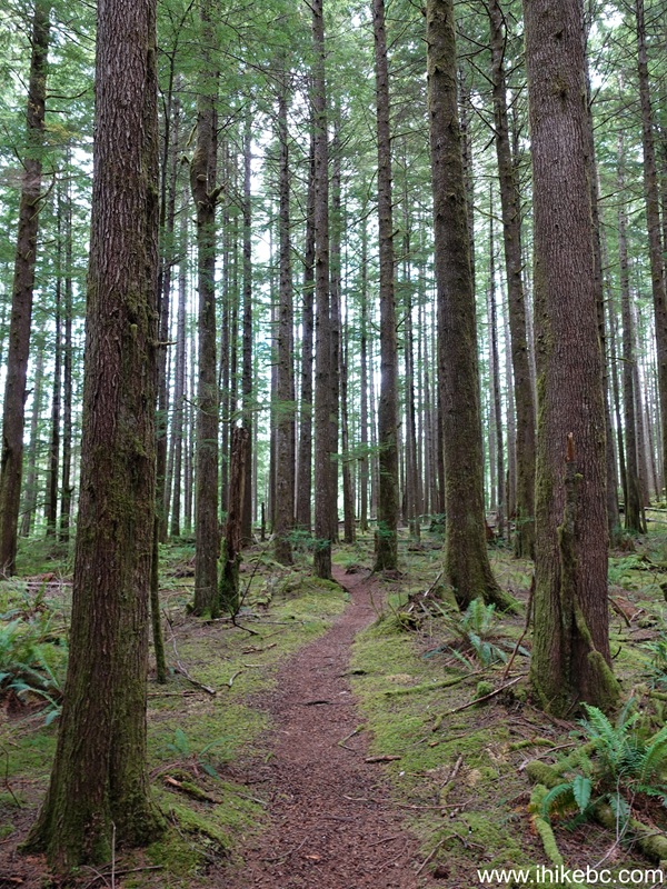
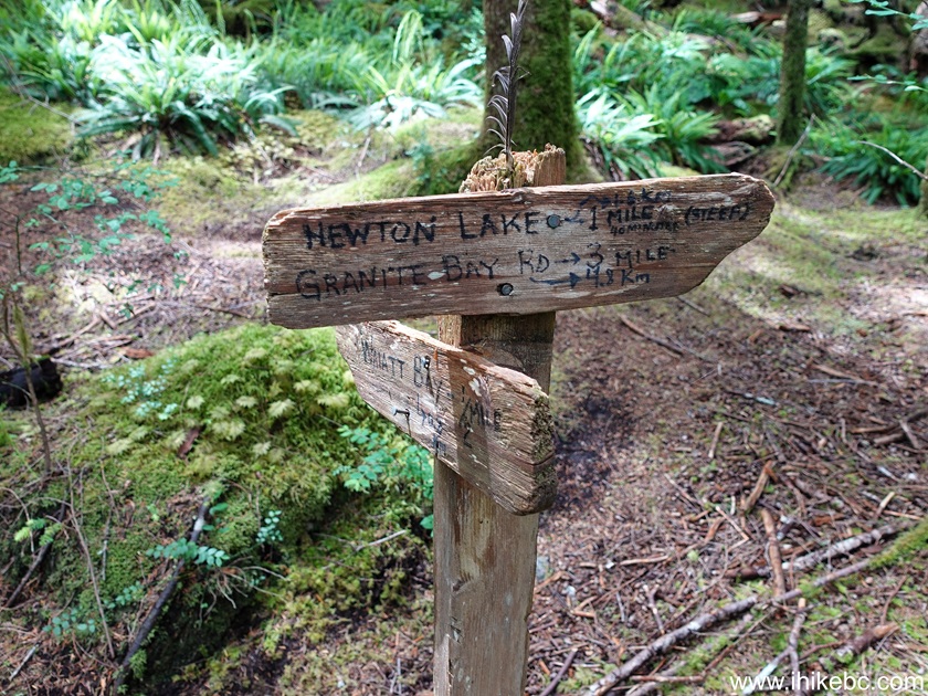
30. A sign at 2.15 km leaves no doubt that this is, indeed, Waiatt Bay Trail.
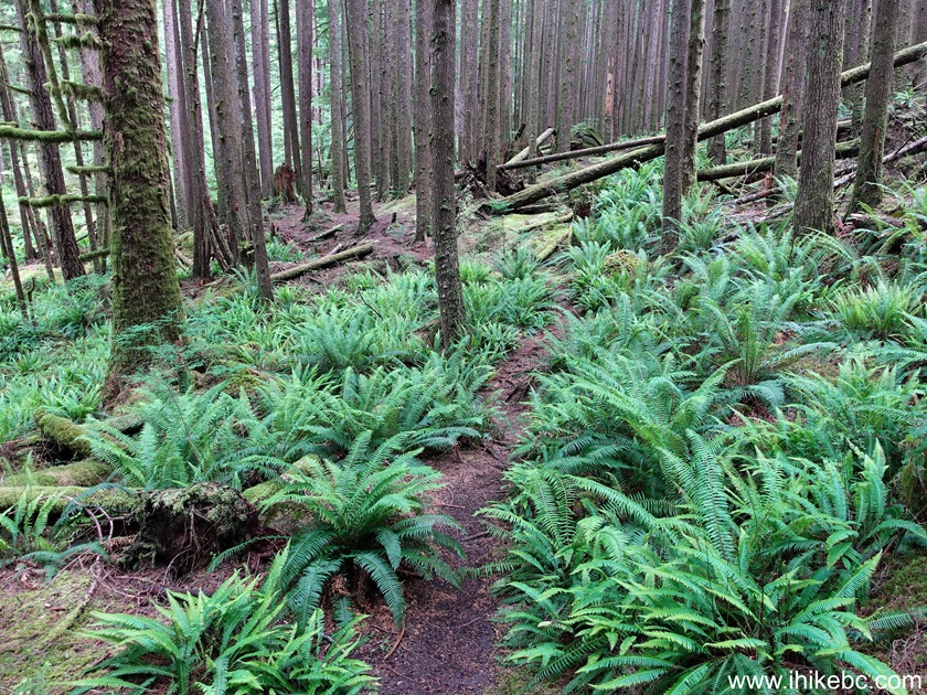
31. Neat fern at 2.28 km.
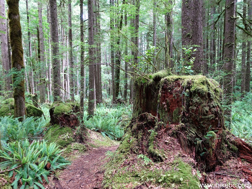
32. One more big fella at the 2.84 km mark.
33-34. Finally, at 3.07 km of the trail, we reach Quadra Island's Waiatt Bay. Coordinates: N 50⁰15.795' W 125⁰15.584'. Elevation: 20 meters.
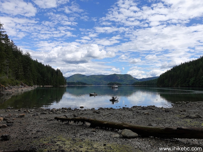
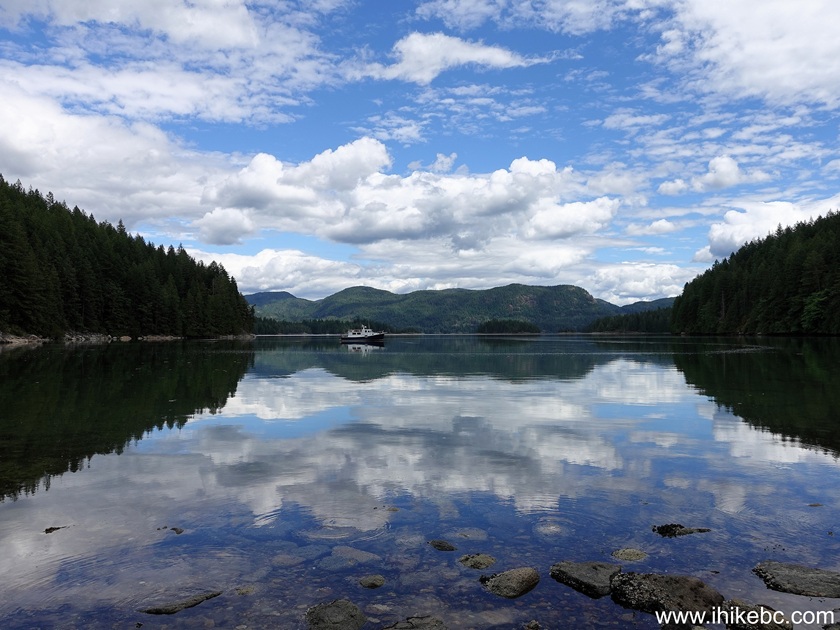
Newton Lake Trail and Waiatt Bay Trail may not be the first hiking options on Quadra Island, but the trails are easy enough and have several good views. Recommended.



|
 |
Other Trips:





ihikebc.com Trip 341
- Newton Lake / Waiatt Bay Trail Hike (Quadra Island, BC)ihikebc Privacy Policy: https://www.ihikebc.com/privacy-policy.htm