



Trip 340 - June 10, 2026 (Wednesday).
Maude Island Trail Hike
Quadra Island, British Columbia, Canada.
Page 2 of 3
Trailhead Location:
Quadra Island (off Vancouver Island across from Campbell
River via a 10 minute ferry ride), about 20 km from Quathiaski Cove
Ferry Terminal, via Quathiaski Cove Road, Harper Road, Heriot Bay Road, West
Road, Hyacinthe Bay Road, Walcan Road (3.8 km), and Q80/Q81 FSRs (3.0km).
Liked: Seymour Narrows viewpoint, a shack near the trail, a swing along the trail, mini-harbour along the trail, moss on the ground, fern along the trail, shade in the forest, no bugs, numerous fine forest scenes foxgloves flowers (warning - toxic, don't touch or inhale).
Of note: A fairly rough last 3 km to the trailhead (via FSRs) - 2WD ok, easy-to-moderately difficult trail, uneven ground, rocks and roots, several unbarricaded dropoffs along the trail, very steep and extensive unbarricaded dropoff at Seymour Narrows viewpoint (end of the trail), some encroaching vegetation. Hiking poles and boots are highly recommended.
Vancouver Island, Victoria & Gulf Islands Backroad Mapbook (9th edition) trailhead location: Page 42 (Campbell River) E4.
Related Websites: Quadra Island Trails Map, Quadra Island Visitor Guide.
Other British Columbia Islands We Have Visited: Bowen Island, Galiano Island, Gambier Island, Mayne Island, Newcastle Island, Pender Island, Salt Spring Island, Saturna Island, Sidney Island, Texada Island.
Follow @ihikebc Tweet
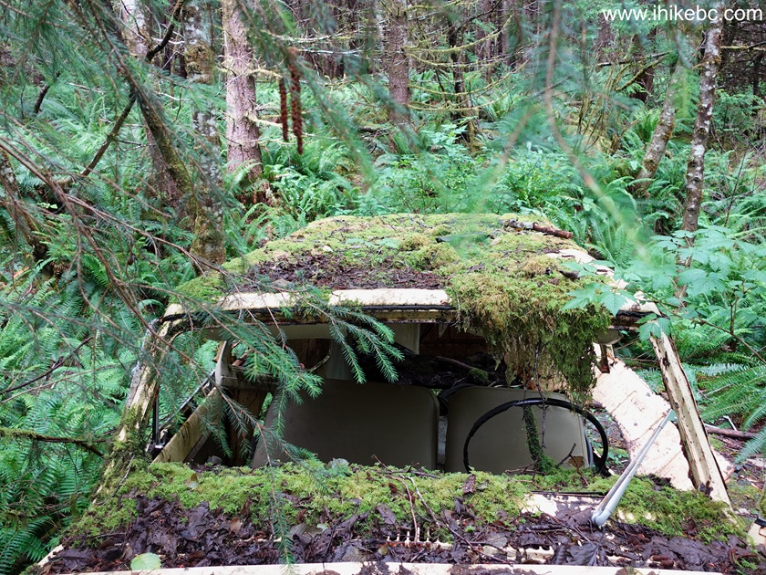
Maude Island Trail (5.3 km one way, easy with some short moderately difficult stretches) is the most difficult trail to get to on Quadra Island due to a maze of Forest Service Roads one has to navigate, but has so many things (little and big) going for it that it was by far our favourite Quadra trail. From moss on the ground, to fern along the trail, to numerous fine forest scenes, to a very cool old busted SUV (International Harvester Scout II, circa 1974 model year) deep in the woods, to a fine shack just standing there for anyone to use, to a pleasant mini-harbour, to a swing right by the trail, to pretty (albeit toxic) foxgloves plants in many places, to, finally, very fine Seymour Narrows views, Maude Island Trail kept things interesting all the time.
To avoid (potentially) getting lost off Walcan Road once you turn onto Q80 forest service road at the 3.8 km mark (there are three more kilometers to the trail after that), there in an option of parking at Morte Lake Trailhead Parking Lot (it has a porta potty, unlike Maude Island trailhead) at the 700 meter mark of Walcan Road, and then hiking for several kilometers to Maude Island Trailhead. It would extend your hike by about 4-5 km roundtrip, but it's an easy hike in the woods.
Despite being called a Maude ISLAND Trail, it is not a separate island, as a short causeway right by the mini-harbour connects Quadra Island to what is, technically, a Maude Peninsula. The island became a peninsula in 1942 (the causeway was built to control tidal currents), and in 1950s this peninsula was used to prepare for an enormous explosion (the largest planned non-nuclear explosion in the history of mankind at the time) to remove underwater hazardous obstacle in Seymour Narrows. The miners used the causeway to get to and from Maude Island. The explosion took place in 1958 and was quite a big deal, broadcast live by CBC.
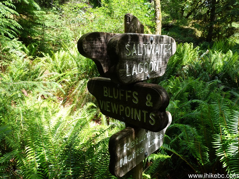
It must be mentioned that, at some point of the trail, there is an option to proceed either via bluffs (with a viewpoint) or via a saltwater lagoon, with both trails rejoining later. Avoid the bluffs trail, as it adds unnecessary and rather treacherous up-and-down stretches, and there is no good viewpoint there, anyway (overgrown?). Take saltwater lagoon path both ways, unless you want to check out the bluffs.
Considering that not too many tourists visit Quadra, not too many people live on Quadra, and that the trailhead is pretty far, chances are very good that this trail would be all yours. Low elevation also makes it an all-season trail.
* All trail distances are based on a GPS odometer and are approximate.
And this is an Overview of Maude Island Trail Hike.
More ihikebc videos are on our YouTube Channel.
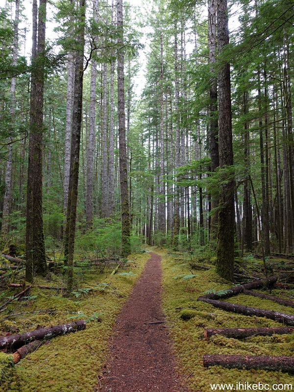
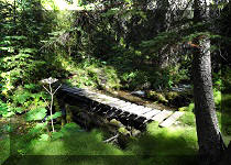
30. 1.07 km mark of Maude Island Trail on Quadra Island, British Columbia, Canada. It's a very pleasant easy hike through a neat forest.
31-36. At 2.23 km, there was this very cool discovery - a circa 1973-75 model year (thank you, Google AI) International Harvester Scout II SUV. International Harvester is no longer in business, but its heir company now makes International truck tractors.
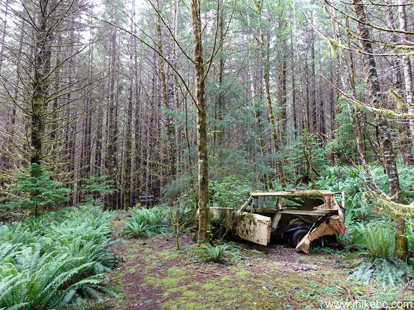

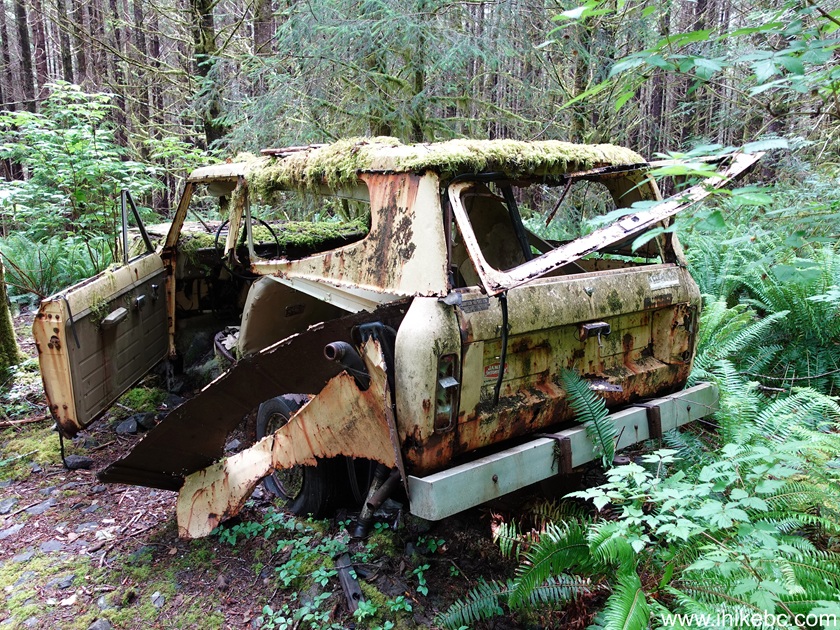
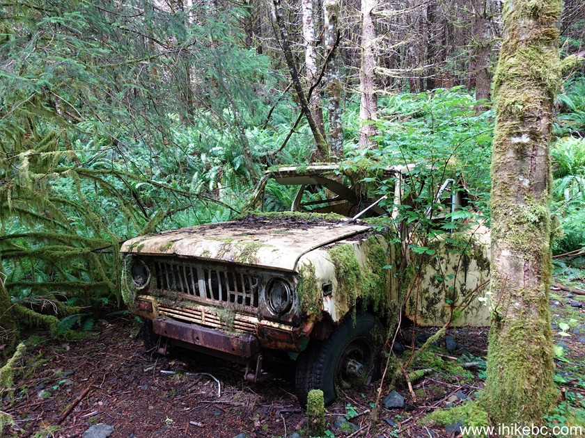

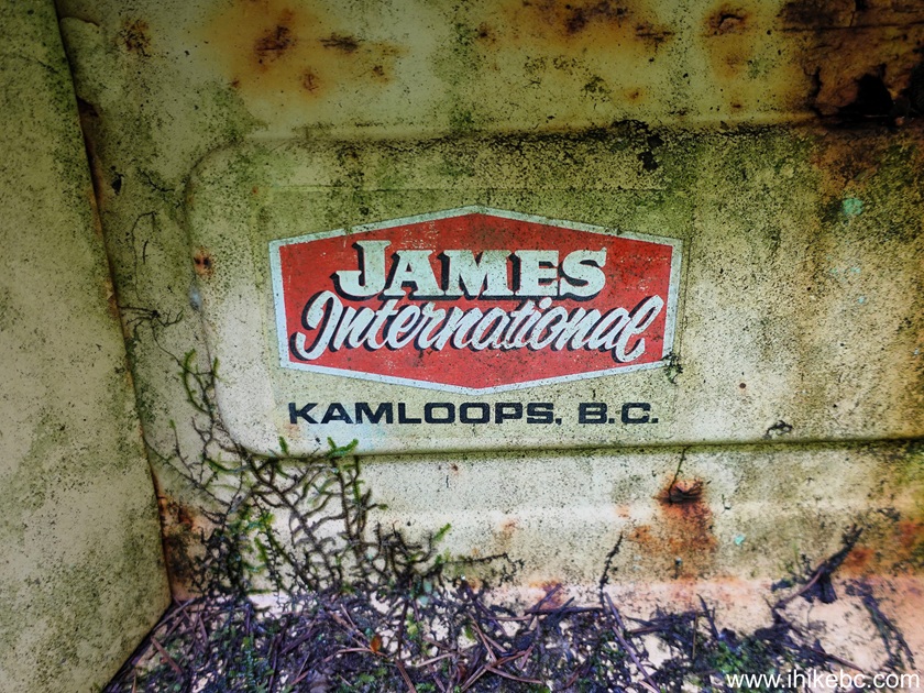
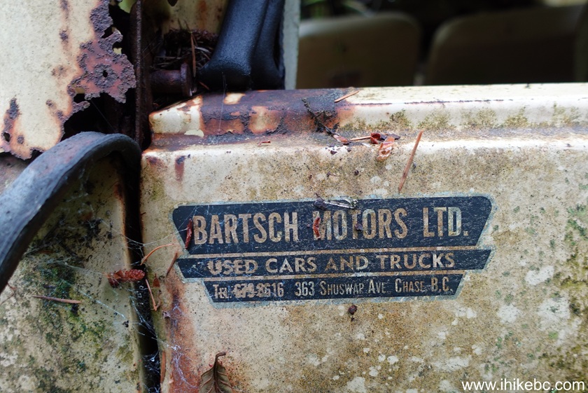
37-38. Look at these cool old decals. James International opened in Kamloops in 1968, and changed name to James Western Star in 1986. It is still in business. Bartsch Motors Ltd was in operation in Chase, BC at least since 1974, and closed for good very recently - in February of 2025.
Here is our video of International Harvester Scout II.
More ihikebc videos are on our YouTube Channel.
39. Within 20 meters of the busted SUV, there is a split. Go right.
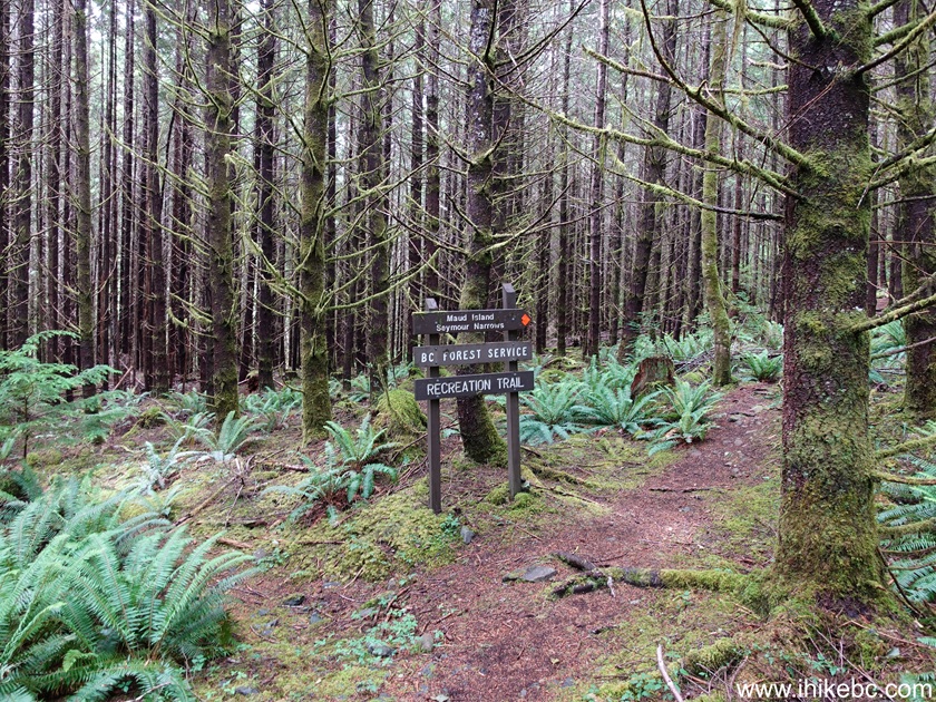
40. Maude Island Trail at 2.58 km from the trailhead at Q81 FSR.
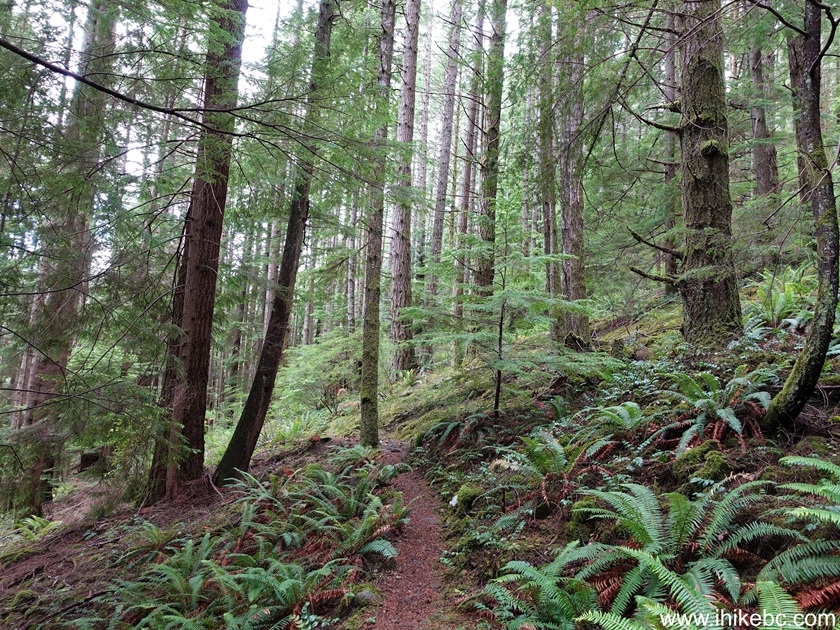
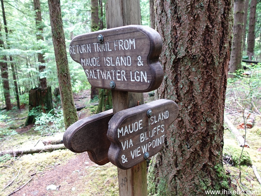
41-42. At 2.73 km, there is another split. To the left is saltwater lagoon path, and to the right is the bluffs path. These two paths rejoin in 1.33 km to form a single trail again. We took the bluffs path en route to Seymour Narrows viewpoint at the end of the trail, mostly because a sign at this split indicated a viewpoint along that path. However, the viewpoint wasn't that great, and the bluffs path is substantially more challenging and treacherous than the saltwater lagoon path, so it's a good idea to take the saltwater lagoon path both to and from the end of the trail.
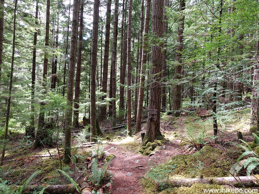
43. Now on the bluffs path of Maude Island Trail, 2.88 km from the trailhead.
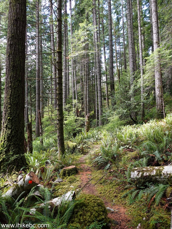
44. A short steep section at 3.14 km. There a few steep ups-and-downs along the bluffs path.
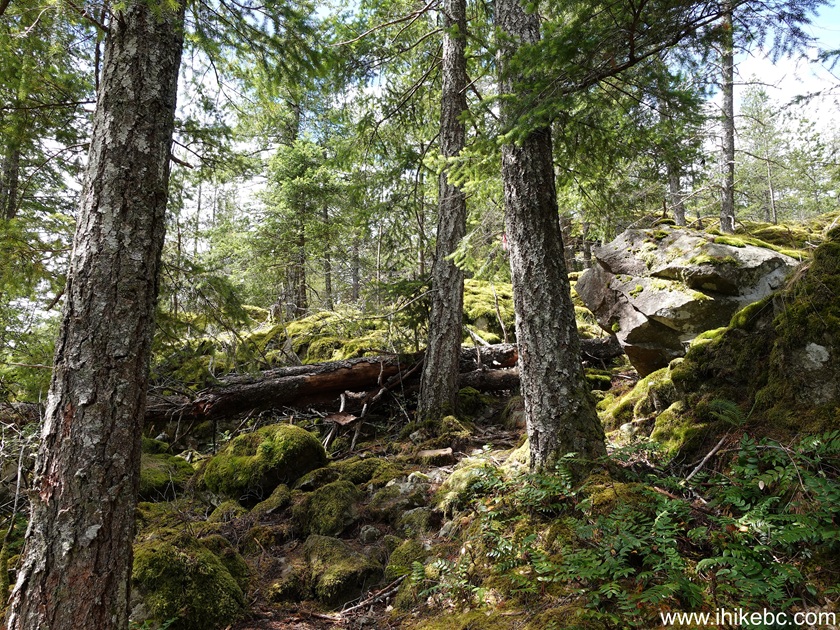
45. At 3.23 km of Maude Island Trail on Quadra Island, BC.

46. At 3.43 km, we have reached the viewpoint (at least there were no other views to speak of that we could see). Perhaps, when the trees were lower, the view was better, but now there isn't much to see here.

47. A steep descent at 3.59 km. There is even a rope there for assistance.
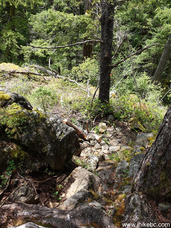
48-49. At 4.06 km, the bluffs path and saltwater lagoon path rejoined to form a single path again.
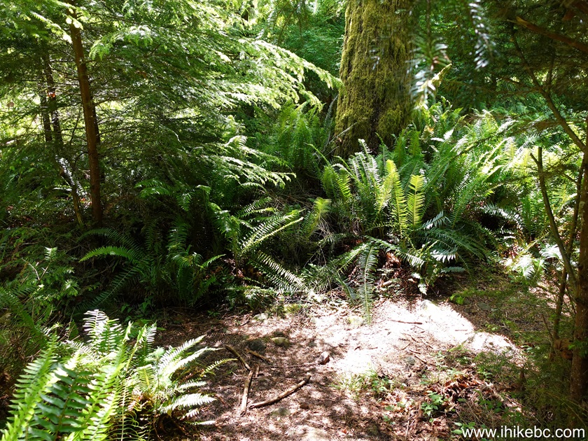
49. At 4.26 km, there is a stretch of a few hundred meters with a narrow path and a steep unbarricaded drop-off on one side.
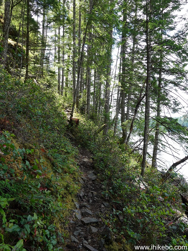
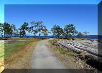
50. Our first good water view arrives at 4.32 km of Maude Island Trail.
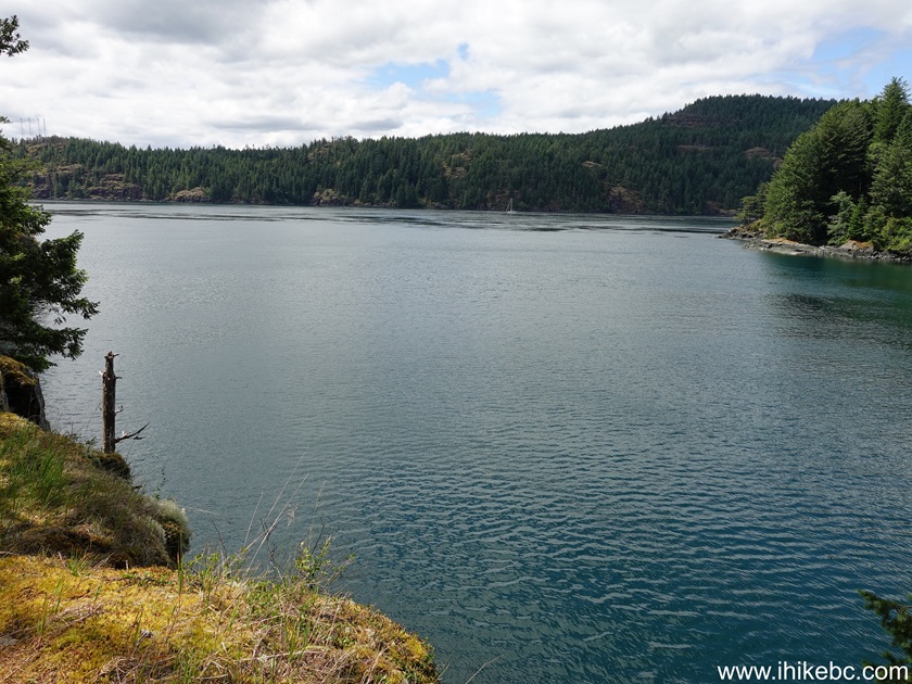
51. Now at 4.68 km.
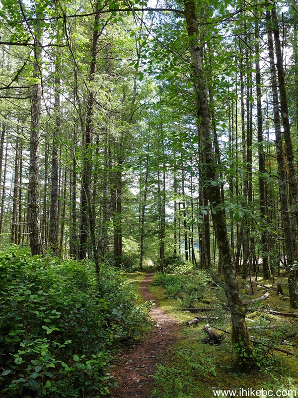
52. There are beautiful foxgloves plants here and there along the trail. Avoid touching or inhaling, though, as foxgloves are toxic.
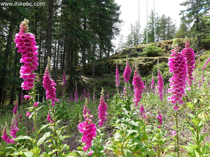
53. At 4.81 km, there is another split. The trail continues to the right. But 70 meters to the left is a cool shack built by Clay.
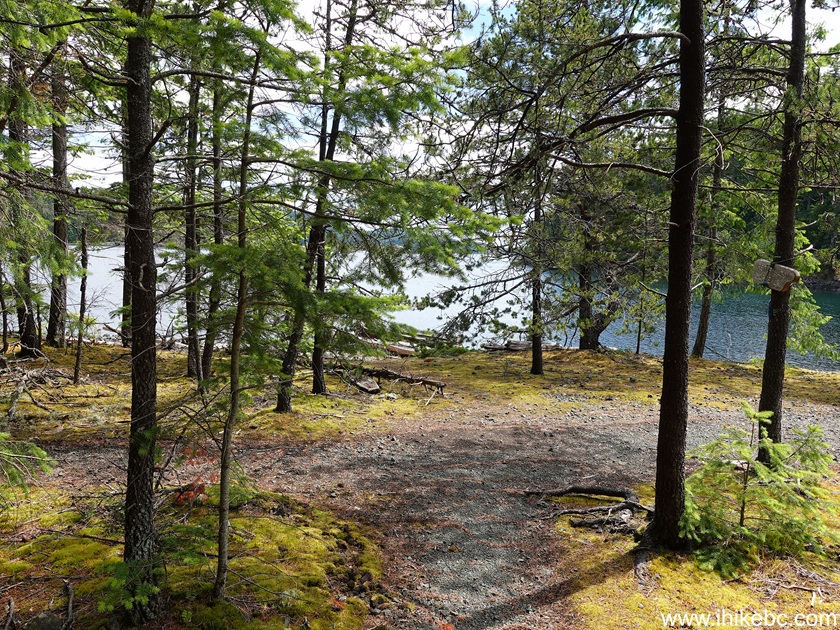
54. Let's check out the shack first.
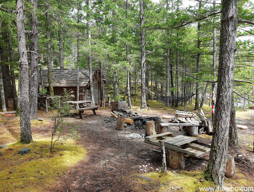
55. It's just standing there with all of the amenities, apparently free to use for anyone passing by.

56-57. The shack was built by Clay between 2019 and 2023.


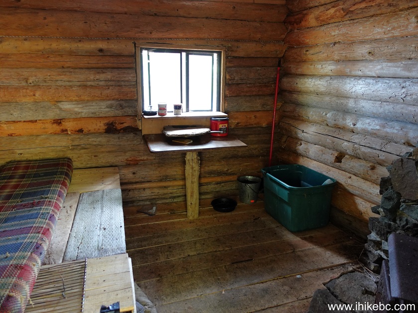
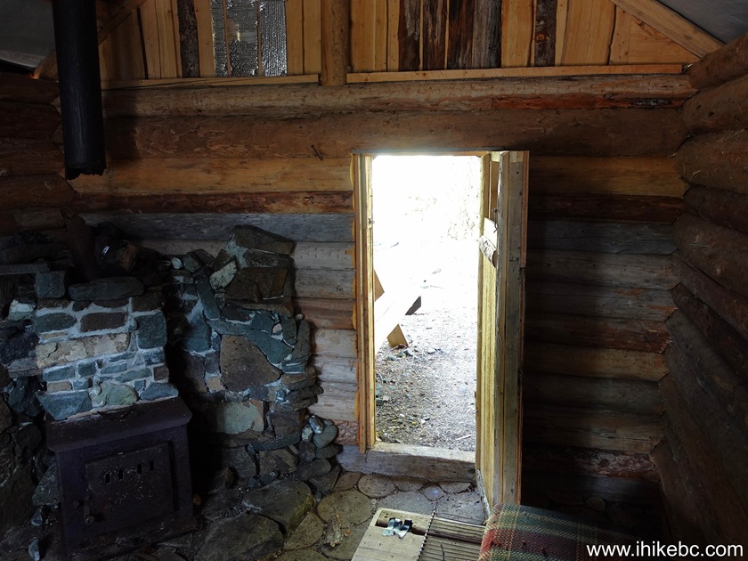
58-59. Inside the shack.
Our Maude Island Trail Hike Trip Report Continues on Page 3.


|
 |
Other Trips:




ihikebc.com Trip 340
- Maude Island Trail Hike (Quadra Island, BC) Page 2 of 3