![]()
![]()
![]()

Trip 037 - May 4, 2011 (Wednesday)
Town of Agassiz BC Visit
District of Kent
Distance From Vancouver: 115 km via Highway 1 East. Take Exit 135. Then drive 5.5 km on BC Highway 9 North.
Liked: Murals and old buildings.
Of note: Railroad runs through the town, smell of manure in the air.
Vancouver, Coast & Mountains Backroad Mapbook (2010 edition) Coordinates: Page 4 (Chilliwack) G2.
Related Website: District of Kent Official Site.
Other BC Cities, Towns and Locations We Have Visited: Bella Coola, Bralorne, Chilliwack, Fort Nelson, Gibsons, Gold Bridge, Harrison Hot Springs, Hope, Horseshoe Bay, Merritt, Mission, Nanaimo (Old City Square), Port Alberni, Prince George, Prince Rupert, Smithers, Squamish, Telkwa, Tofino, Tumbler Ridge, Vancouver (Seawall), Vancouver (Stanley Park), West Vancouver (Ambleside Park).
Other Trips in Chilliwack Area: Flora Lake Trail, Williams Ridge Trail, Mount Thom Lookout Loop Trail, Vedder Rotary Loop Trail, Teapot Hill Trail Hike, Chilliwack Dyke Trail, Greendrop Lake Trail, Mount Cheam Peak Trail, Ling Lake Trail Hike (off Chilliwack Foley FSR), Chilliwack Foley FSR, Chilliwack Bench FSR, Elk-Thurston Trail, Slesse Memorial Trail, Downtown Chilliwack BC Visit, Chilliwack Lake FSR, Radium Lake Trail, Chilliwack Lake Provincial Park, Minter Gardens, Bridal Veil Falls Provincial Park.
Follow @ihikebc TweetThe town of Agassiz is located on BC Highway 9, half-way between TransCanada Highway 1 and Harrison Hot Springs, which we visited in 2009. Agassiz is a good small town to explore. It has several nice old buildings, as well as a few murals, which do not quite rival those of Squamish and Mission, but are very nice nonetheless.
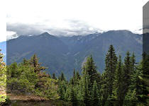
Agassiz is surrounded by mountains, the most prominent of which is called Cheam Mountain. While these mountains are not as impressive as the ones in Squamish and Hope, it is still an eye-pleasing natural environment.
Notably, Agassiz is exposed to loud train whistles and associated mechanical noise every time a train passes through the town. Also, as this is farm country, the smell of manure in the air is to be expected.
1. You can get to Agassiz from Metro Vancouver via BC Highway 7, or via TransCanada Highway 1 (Exit 135). Here we are driving on BC Highway 9 North towards Agassiz, after taking Highway 1's Exit 135.

BC Highway 9 Photo near Agassiz BC Canada
2. En route to Agassiz you would cross Fraser River on this bridge.

BC Highway 9 Bridge Across Fraser River
3. Driving on the bridge.
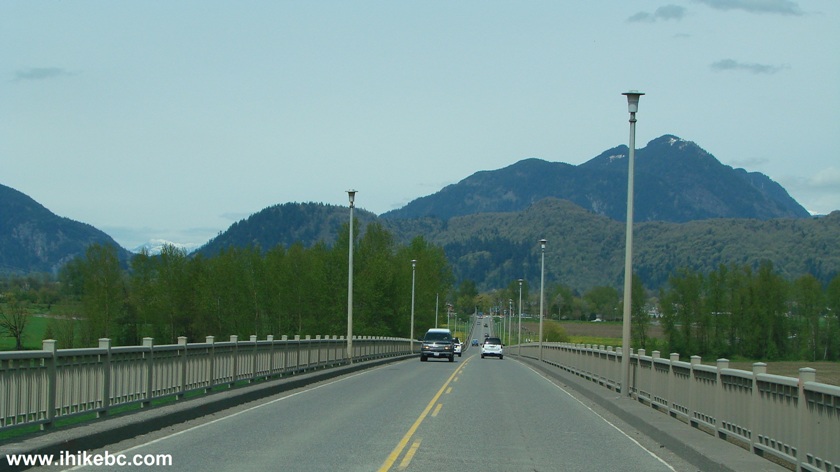
Bridge on Highway 9 near Agassiz BC Canada
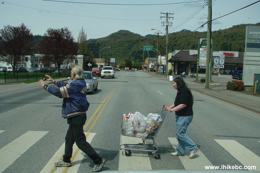
4. After crossing the Fraser River, we entered Agassiz and checked out the area maps on the side of the road. Agassiz is located in the District of Kent. A sign advised that this is farm country, and a faint smell of manure in the air reinforced that point.

Welcome to Kent Information Board in Agassiz BC Canada
5. This is the map of the town itself. Arrows show the way we took via Highway 9. Cheam and Pioneer Avenues along the railroad track is where we took most of our photos.

Map of Agassiz BC
6. At first, Agassiz looks like suburban Metro Vancouver.

Photo of Agassiz British Columbia Canada
7. This is the centre of the town. Just to our left is the municipal hall and library. And, beyond, is Agassiz Secondary school.
Agassiz BC Town Centre
8. We turned left and parked in front of the municipal hall. Parking is free, but watch for signs restricting some stalls for municipal employees only. Agassiz library with Wi-Fi Internet access is about 30 meters to the left of where we are standing. Its hours of operation are Tue-Thu 10-8, Fri-Sat 10-5, Sun-Mon closed.

Agassiz Municipal Hall Province of BC Canada
9. Nice flower arrangement in front of the municipal hall. The sign refers to district hall. Unclear if it's the same as the municipal hall, or the district hall is there as well.
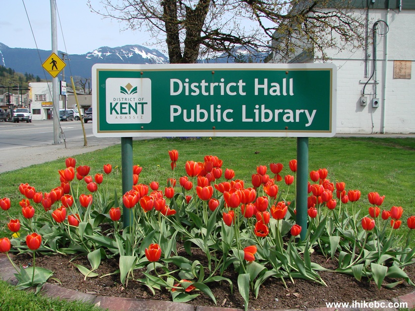
Town of Agassiz District of Kent Province of British Columbia Country of
Canada
10. Agassiz is patrolled by the RCMP.
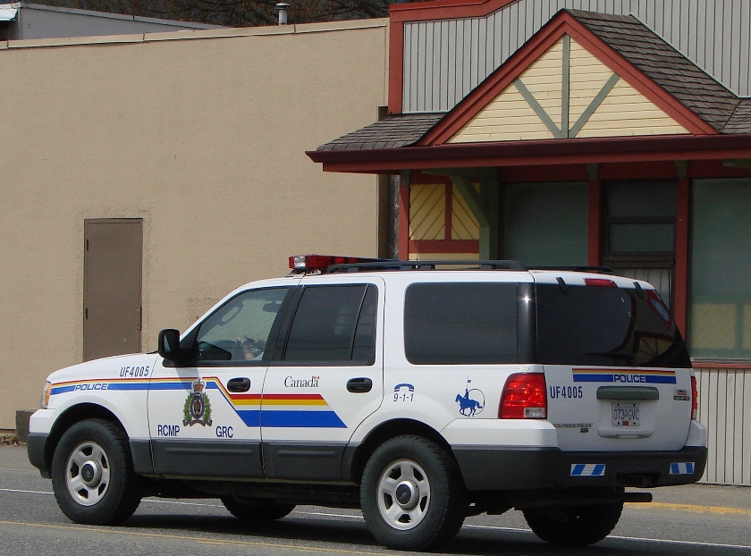
Royal Canadian Mounted Police Cruiser in Agassiz BC Canada
9. A nearby restaurant has a fine mural on the side wall.

Mural on a Restaurant Wall Agassiz British Columbia Canada
12. And here is a cool old building, located where Highway (Route) 9 turns right at Cheam Avenue. The building houses Nature's Window Wildlife Studio and Trading Post.

Nature's Window Wildlife Studio and Trading Post in Agassiz BC Canada
13. We proceeded to the end of Cheam Avenue, turned around, and looked back.

Cheam Avenue Agassiz BC Canada
14. After that, we walked along Pioneer Avenue, which runs parallel to Cheam Avenue. On one side of Pioneer Avenue there are various shops (seen on the right side of the photo below). On the other side there is Pioneer Park, and, beyond that, is a railroad track.

Pioneer Avenue Agassiz BC Canada
15. A few hundred feet behind the spot where we took the photo above is the corner of Pioneer Avenue and Highway 9, and that is where Agassiz-Harrison Museum is located. It was still closed for the season (opening on May 21st).
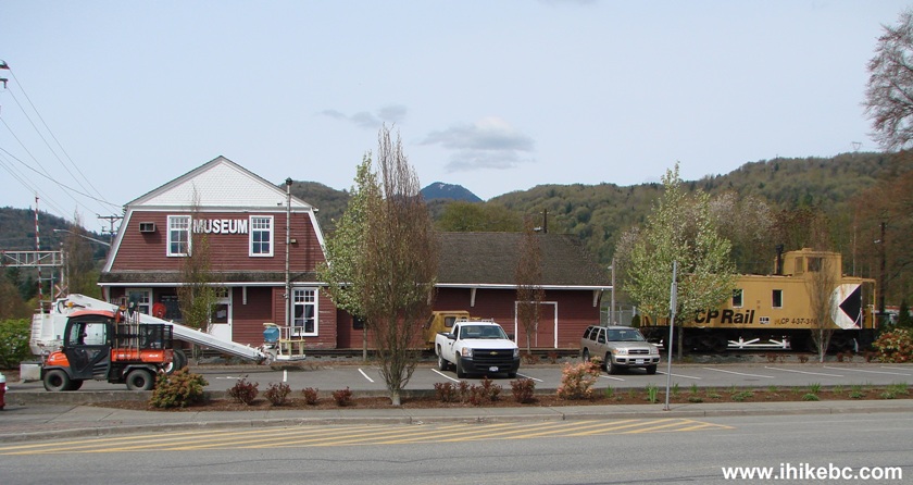
Agassiz-Harrison Museum in Town of Agassiz Province of British Columbia
Canada
16. See a piece of a fire hydrant on the bottom left side of the photo above? Slightly to the left of it is this great-looking power box. There must be a tulip farm or two in the area, as we have heard of a tulip festival being held in Agassiz.

Photo of a Painted Power Box in Agassiz BC Canada
Here is our video of a CN train passing through this area of Agassiz:
More ihikebc videos are on our YouTube Channel
.17. After walking on Pioneer Avenue, we turned onto Heath Road and found some townhouses. There is also this bus stop there, and we saw a community shuttle driving around the town. The phone number on the bus stop is (604) 795-3838.

Heath Road Agassiz BC Canada
18. And one more photo of residential Agassiz - a house with an armchair on the porch, and a Toyota parked on the lawn.

Picture of A House in Agassiz BC Canada
19. Finally, it was time to check out other murals. Here is a man wearing a bear skin.
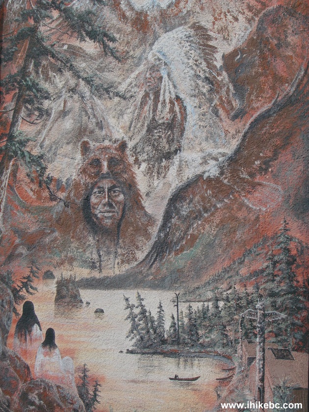
Agassiz BC Mural
20. And this is a train engine, with an engineer sticking his head out of the window.

Train Mural Photo - Agassiz British Columbia Canada
21. Our final mural is an eagle. There are two mural-painted walls that we found in addition to the restaurant mentioned in photo #9. One wall is pretty worn out, but the other one looks quite good, and it is located between Cheam Avenue and Pioneer Avenue.

Eagle Mural in Agassiz BC Canada
The town of Agassiz is a fine place to visit for several good sights.


|
 |
Other Trips in Chilliwack BC Area:
|
|
|
|
|
|
|
|
|
|
|
|
|
|
|
|
|
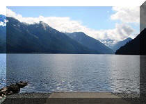
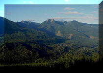
Greendrop Lake Trail
|
|
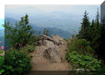
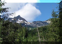
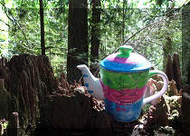
Teapot Hill Trail
|
|
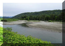
Vedder Rotary Trail
|
|
Mount Thom Trail
|
|
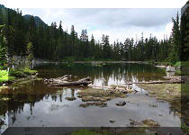
Flora Lake Trail  |

Other Trips:


![]()


![]()
![]()
![]()
Follow @ihikebc Tweet
ihikebc.com Trip 037 - Town of Agassiz BC Visit (Near Chilliwack)