
Trip 012 - February 22, 2010 (Monday), July 1, 2024 (Monday) & April 30, 2026 (Thursday).
Town of Hope BC
Distance From Vancouver: 150
km via Highway 1 East.
Liked: Carvings throughout the town, pool available for $5, plenty of free parking.
Of note: The rail track runs through the town, and trains make a lot of noise. Some homeless people camping here and there.
Vancouver, Coast & Mountains Backroad Mapbook (2010 edition) Coordinates: Page 15 (Hope) F6.
Related Websites: District of Hope, Experience Hope.
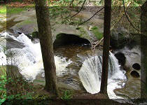
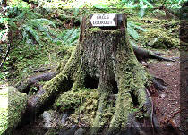
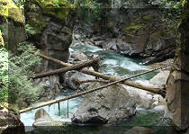
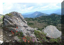
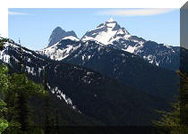
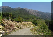
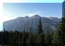
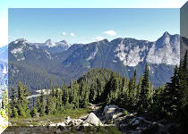
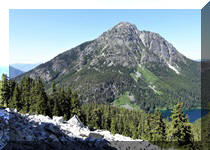
Other Trips in Hope BC Area: Thacker Mountain Trail, Flat Iron Peak Trail, Needle Peak Trail, Sowerby Creek FSR Hike, Dog Mountain Trail, Jones Lake FSR Trip to Jones Lake, Yak Peak Trail, HBC Heritage Trail, Sowaqua Creek FSR, Zoa Peak Trail, Skagit River Trail, Skyline II Trail Hike, Silver Skagit Road, Mount Outram Trail, Othello Tunnels, Eaton Lake Trail, Mount Hope Lookout Trail.
Other BC Cities, Towns and Locations We Have Visited: Agassiz, Bella Coola, Bralorne, Chilliwack, Fort Nelson, Gibsons, Gold Bridge, Harrison Hot Springs, Horseshoe Bay, Merritt, Mission, Nanaimo (Old City Square), Port Alberni, Prince George, Prince Rupert, Smithers, Squamish, Telkwa, Tofino, Tumbler Ridge, Vancouver (Seawall), Vancouver (Stanley Park), West Vancouver (Ambleside Park).
Follow @ihikebc Tweet
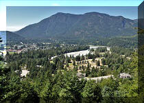
The town of Hope is located on TransCanada Highway 1, about 30 minutes East of Chilliwack, and more than 1.5 hours East of Vancouver. BC Highways 3 (Crowsnest) and 5 (Coquihalla) split from Highway 1 around Hope too. We visited Hope and walked around this small town on a glorious sunny day. Hope is a pleasant small town, with very few people on the streets after 7 PM. Perhaps, the situation is different when it is warm.
As a train track runs pretty much through the middle of the town, and the train operators often blow the horn, it might be problematic to have a good night sleep in Hope. There is also a hospital in Hope. And lots of good hiking trails nearby.
Unless otherwise noted, all the photos are from our February 22, 2010 visit to Hope, BC.
0. Here is a Google Maps location of Hope, British Columbia, Canada.
1. Experience Hope, urges this sign as you follow Highway 1 near its split with Highway 5.

Hope British Columbia Highway Sign
2. A short while later you are in Hope on Highway 1. On the right side is the town, on the left is the river, and here is the intersection of Highway 1 and Wallace Street. Note the gas price at the Shell station - 96.9. It stayed the same the next day - about 15 cents better than in Vancouver.

TransCanada Highway 1 in Hope British Columbia
3. There are several carvings on the left side of Highway 1 .

Carving in Hope British Columbia
4. The head of another one.

Eagle carving in Hope British Columbia Canada
5. We then went into the town for a walk, and found this cool truck with a camper.

Truck camper in Hope BC
6. Skagit Motel looks picturesque. And it also bills itself as "the quiet place." Perhaps, their windows are soundproof, and the train noise does not disturb the guests at night?

Skagit Motel Hope British Columbia
7. Nice fencing.

Hope British Columbia
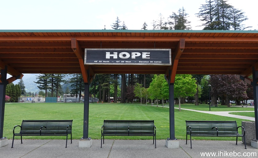
8.a This is Hope Memorial Park.

Memorial Park Hope British Columbia
8b. The same Gazebo in April of 2026. They have added the benches.
9. More carvings can be found in the park.

Carvings in the Memorial Park in the town of Hope BC
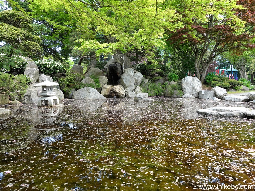
10a. This little fountain/pond is also in the park.

Fountain and pond by the Memorial Park in Hope British Columbia
10b. April of 2026.
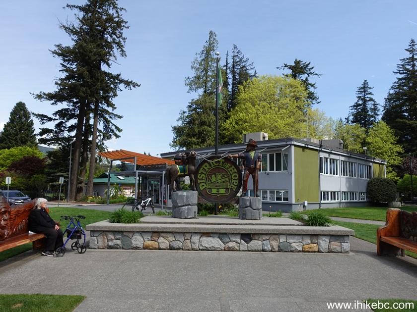
11a. Next to the park, on the corner of 3rd Avenue and Wallace Street, is the District of Hope administration building. Note the Vancouver 2010 Winter Olympics flag flying by the building.

District of Hope British Columbia
Administration Building
11b. Same building in April of 2026.
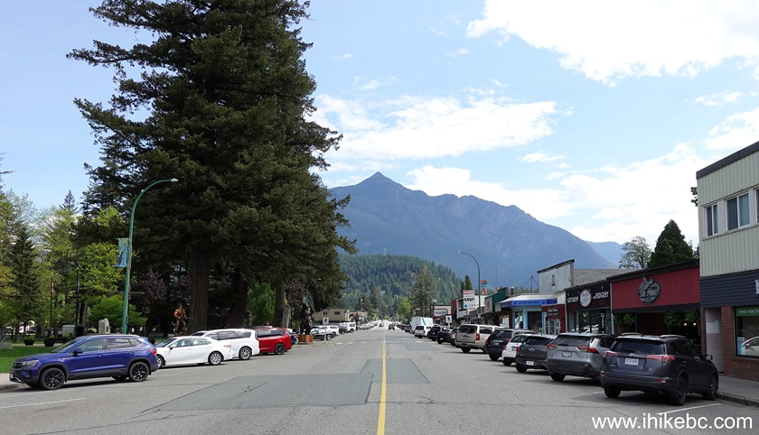
12a. And this is Wallace Street at 3rd Avenue, looking East. The administration building is on the left. The green sign by the traffic light has an arrow pointing left, and says "camper trailer parking." Very thoughtful of Hope!

Wallace Street Hope British Columbia
12b. The view from the same intersection 12 years later, in April of 2026.
13. There are several carvings near the above intersection. Here is a bear enjoying the sunshine.

Bear carving Hope British Columbia
14. And this carving is a memorial to an RCMP dog Chip, killed in the line of duty.

RCMP dog Chip carving Hope BC
15. And then there is this carving of a bear with a fish, and an old man likely scared of the bear and hiding inside a tree.

Wallace Street carving Hope British Columbia
16. The man is likely hoping that the fish is enough to feed the bear.
-Hope-BC-Canada-Wooden-Statue.JPG)
Carving on Wallace Street Hope British Columbia
17. Finally, this building houses a pool ($5 admission) and a library. It's located on 6th avenue, which is short enough to make this building an easy find.

Hope Library and Recreational Centre - town of Hope BC
Here is our 2023 video of driving through Hope en route to Thacker Mountain Trail.
More ihikebc videos are on our YouTube Channel.
It sure was a pleasant visit to the town of Hope.
We further visited Hope on July 1, 2024:
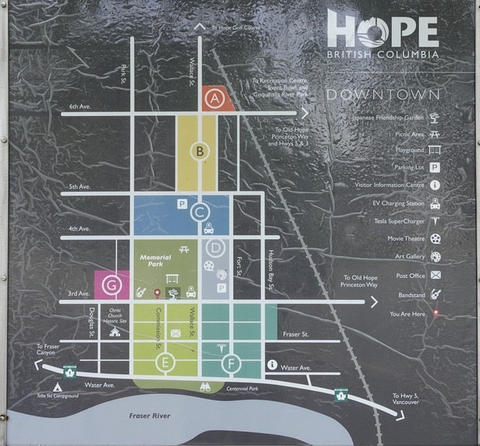
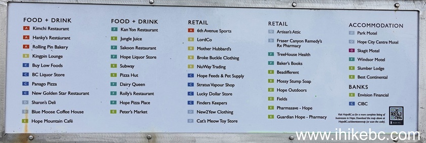
18a. A map of downtown Hope, BC posted in Memorial Park. This and subsequent photos were taken on July 1, 2024.

Map of downtown Hope BC Canad
18b. The same map in April of 2026
19. 5th Avenue, looking North. Fort Street ahead.

Hope BC - 5th Avenue by Fort Street
20. Wallace Street (main street in downtown Hope) at 5th Avenue. Looking West.

Wallace Street at 5th Avenue Hope, BC, Canada
21. Looking down Wallace Street in the opposite direction (East) from its intersection with 3rd Avenue.

Hope, BC - Wallace Street at 3rd Avenue
22. Wallace Street between 3rd Avenue and 4th Avenue.

Wallace Street between 3rd Avenue and 4th Avenue, Hope BC
23-25. Canada Day classic cars display in Hope Memorial Park.


Classic Cars Display Hope BC
26. Canada Day performance in Hope Memorial Park.

Band performing in Hope, BC Memorial Park
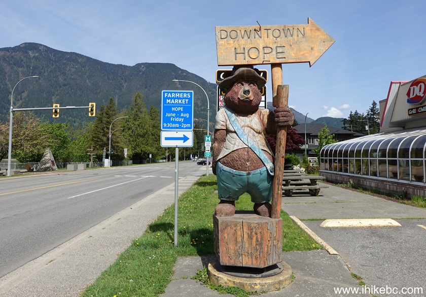
27. A few more photos from April 30, 2026. Here is a downtown Hope direction sign.
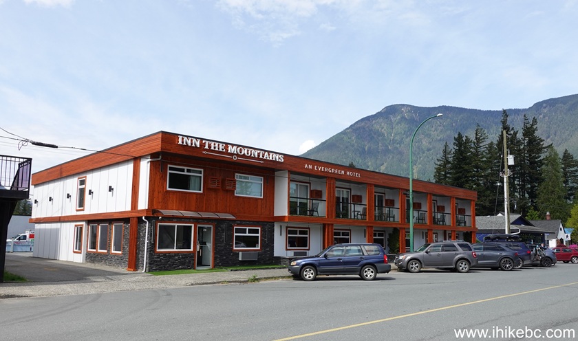
28. Inn The Mountains. 3rd Avenue just East of Wallace Street.
29. Hope Fire Department command vehicle.
Here is Our Video of
Walking in Downtown Hope BC on April 30, 2026:
More ihikebc videos are on
our YouTube Channel.
Hope, BC - still as good in 2024 (and in 2026) as it was in 2010. Some additional (apparently) homeless people on the streets, a few new businesses, but, other than that, not much has changed.


|
 |
Other Trips in Hope BC Area:
|
|
|
|
|
|
|
|
|
|
|
|
|
|
|
|
|
|
|
 |
|
|
|
|
|
Eaton
Peak Route
|
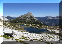
Skyline II West Trail
|
Eaton
Lake Hike 2
|
|
|


Other Trips:
ihikebc.com
Trip 012 -
Town of Hope BC
Visit


![]()


![]()
![]()
![]()
![]()