![]()
![]()
![]()

Trip 322 - September 16, 2024 (Monday)
Green Mountain Trail Hike
Near Gold Bridge, BC
Page 1 of 4
Liked: Excellent views of mountains, valleys, and lakes. A former fire lookout shack. Shade in the forest. Meeting a marmot. Very few bugs.
Vancouver, Coast & Mountains Backroad Mapbook (2019 edition) Coordinates : Page 50 (Downton Lake) G5.
Follow @ihikebc TweetGreen Mountain Trail is located in the remote southwest part of British Columbia near Gold Bridge. It's takes a 103 km drive via a scenic BC Highway 40 from Lillooet to get to Gold Bridge, and then a drive for over 8 km on washboard-like Hurley River Forest Service Road (2WD regular clearance vehicles - ok, but ensure to have good tires and a spare). After that, there is an access road of about 2.8 km to the trailhead, then just over 3 km to an old and well-preserved fire lookout shack, and then further hiking of about 3 km to the end of the trail.
If you have a high-clearance short-wheelbase 4x4, you might be able to make it all the way to the shack. Otherwise, park by Hurley River FSR and start hiking. It's not a very difficult trail all the way to the shack (gets tougher after that), but there are absolutely no signs (save for one by the forest service road), and several splits where you either need to know where you are going, or have a GPS unit with this trail.
The views of mountains, valleys, and lakes are absolutely great, and the shack is in good enough shape to accommodate an overnight stay - it has 4 bunk beds and a stove. There is also an open air pit toilet (with a view!) near the shack. We first hiked this trail in May of 2021, but stopped about halfway to the shack due to deep snow. Unless otherwise noted, all photographs in this trip report are from the trip we took in September of 2024.
* All trail distances are based on a GPS odometer and are approximate.
1. Here is a Google Maps location of Gold Bridge, BC.
2. And here is a screenshot of a Google Map, with our arrows and text showing where key roads are located.
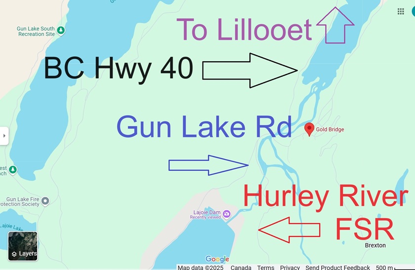
Google Map of Gun Lake Road and Hurley River FSR near Gold Bridge BC
3. A very scenic BC Highway 40 gets you from Lillooet to Gold Bridge. Here we are at the end of Highway 40, with Gold Bridge being to the left across the bridge. But we need to keep going straight on what becomes Gun Lake Road.

BC Highway 40 near Gold Bridge British Columbia Canada
Here is our video of driving on BC Highway 40 from Lillooet to Gold Bridge.
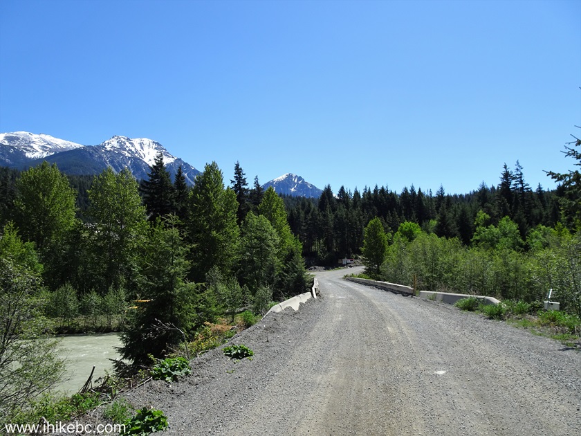
4. After about 200 meters, make a left turn onto Hurley River Forest Service Road. A sign on the right side indicates 83 km to Pemberton. This is a seasonal road, and it is VERY rough, not a serene drive at all. 2WD regular clearance vehicles are ok to the trail access road, but prepare for a jarring (or a very slow) ride.

Gun Lake Road at Hurley River FSR Turnoff near Gold Bridge BC Canada
5. Hurley River FSR at 800 meters. May of 2021 photo.
Hurley River Forest Service Road
6-7. At 1.0 km, several big signs on the left side. Coordinates: N 50⁰50.693' W 122⁰50.698'. Elevation: 680 meters.


Hurley FSR Sign
8. At 1.9 km of Hurley River Forest Service Road near Goldbridge, BC. Washboard all the way to Green Mountain Trail access road.

Hurley FSR near Gold Bridge BC Canada
9. In May of 2021, we took this very fine photo of Downton Lake at about the 5.0 km mark of Hurley River FSR.

Downton Lake near Gold Bridge BC
10. At 8.1 km, approaching the access road on the right side.

Hurley River FSR at Green Mountain Trail Access Road Turnoff
11. At 8.2 km of Hurley River FSR (and 8.4 km from the end of BC Highway 40), Green Mountain Trail access road begins on the right side. The only sign for Green Mountain is located at this junction. There are no other signs either before or after.
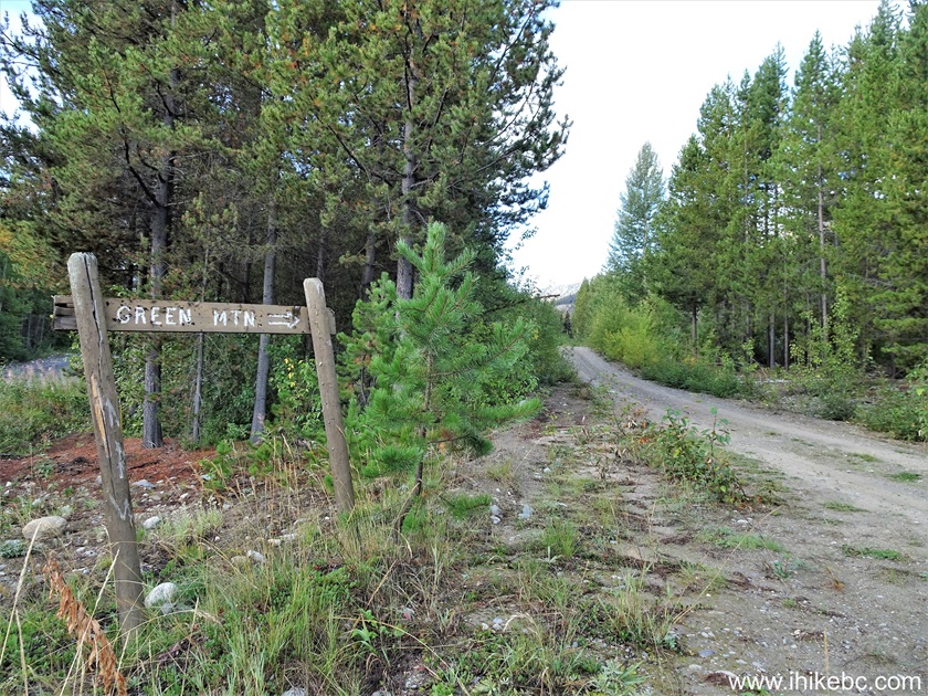
Start of Green Mountain Access Road near Gold Bridge BC Canada
12. We parked at a good pullout at the 80 meter mark of the access road, seen in the photo below. Coordinates: N 50⁰47.528' W 122⁰52.933'. Elevation: 1,210 meters. If you don't mind crossing two fairly shallow cross ditches, it is possible to drive for just over 900 meters from Hurley River FSR and park there (try not to take chances, though - this is a remote area far from repair facilities). The road after that is suitable only for high-clearance short-wheelbase 4x4 vehicles.
Green Mountain Trail access road off Hurley River
Forest Service Road British Columbia Canada
Here is our video of driving on Hurley River FSR up to this point.
More ihikebc videos are on our YouTube Channel.
13. From Hurley FSR, it is 2.84 km to the Green Mountain trailhead, and then 3.02 km to the fire lookout shack, followed by another 3 km or so to the end of the trail. We are at 165 meters of the access road.
Access Road for Green Mountain Trail near Goldbridge BC
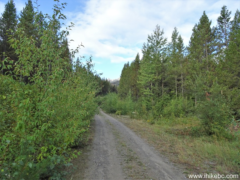
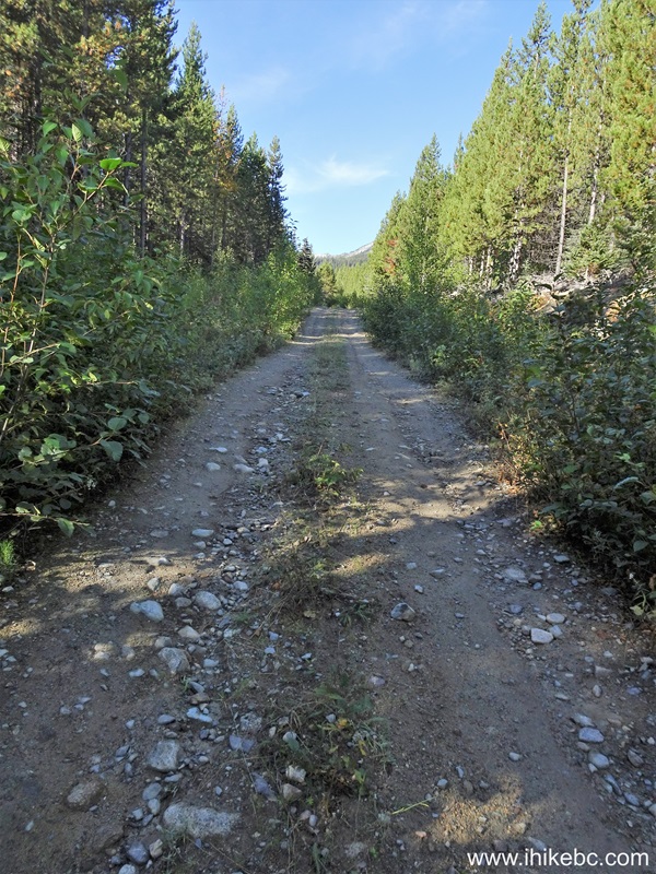
14. At the 860 meter mark. Little elevation change, pleasant hiking.

Green Mountain Trail Access Road British Columbia Canada
15-16. At 910 meters from Hurley River FSR, we have reached the first split. Regular vehicles can get up to this point after crossing two shallow ditches. To the left is a short road to a small opening good for camping. The trail access road, which gets rougher, continues straight ahead.

Green Mountain Trail Access Road off Hurley River FSR near Gold Bridge
BC
17. Now at 1.22 km of Green Mountain trail access road.
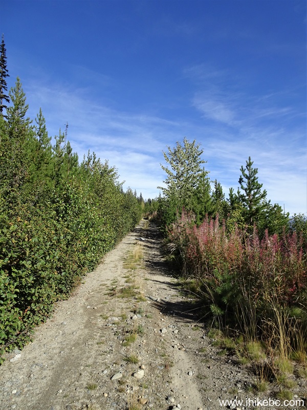
British Columbia Hiking - Green Mountain Trail Access Road
18-19. At 2.41 km, there is another split. Coordinates: N 50⁰47.454' W 122⁰54.076'. Elevation: 1,470 meters. Turn left.
20. At the 2.78 km mark now.
Hiking in British Columbia Canada - Green Mountain Trail Access Road
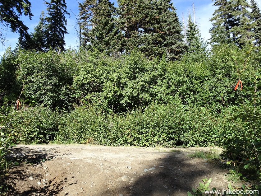
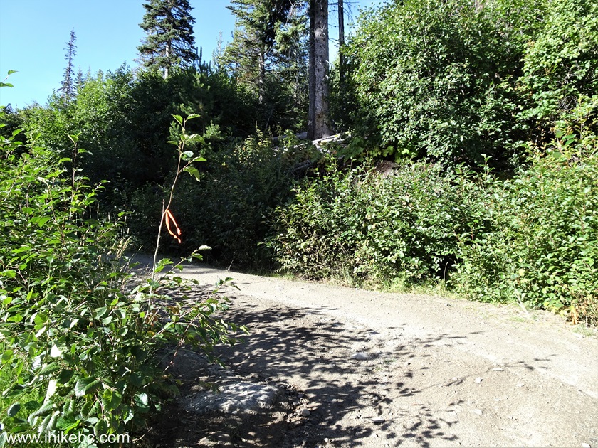
21-22. At 2.84 km from Hurley River FSR, Green Mountain Trail starts on the right side. Coordinates: N 50⁰47.426' W 122⁰54.269'. Elevation: 1,520 meters. Without a trail mapped in our GPS (Backroad Mapbook software) we might have never found it - looks like a run-of-the-mill side road of which there are many. It is 3.02 km from here to the fire lookout shack.

Green Mountain Trail Trailhead
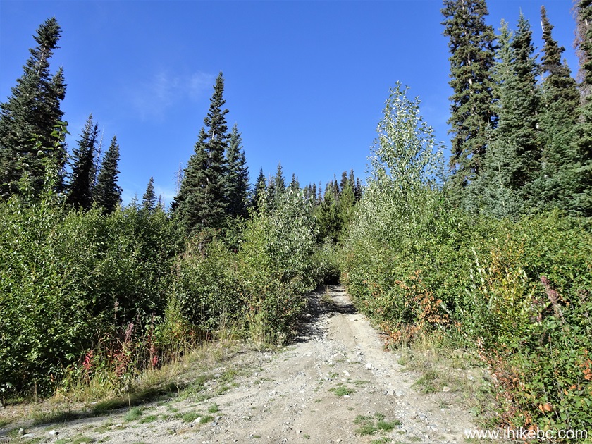
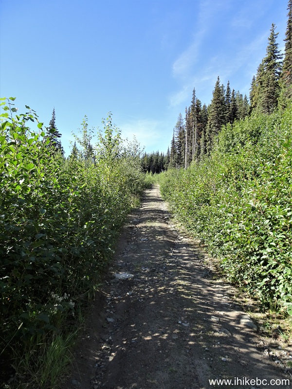
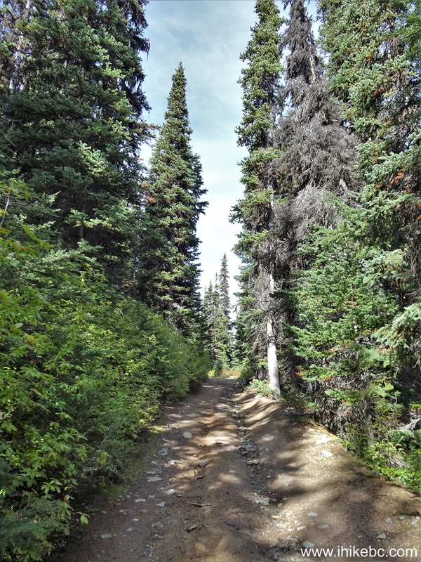
23. A hike in the forest begins. At 220 meters of the trail.
Green Mountain Trail near Gold Bridge BC Canada
24. A mud spot at 270 meters of Green Mountain Trail. This is the end of the season, so prepare for a bit of a swamp in the Summer.
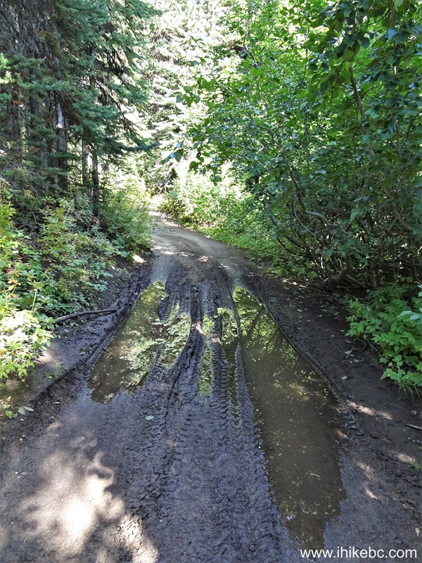
Muddy Spot on Green Mountain Trail near Goldbridge British Columbia
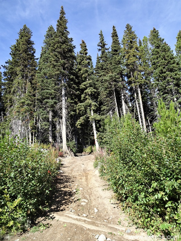
25. At 490 meters of the trail.

BC Hiking - Green Mountain Trail
26. At 565 meters, the trail opened up for a bit...
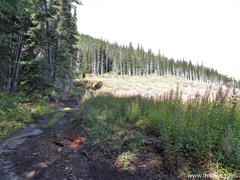
Hiking in Canada - Green Mountain Trail - Gold Bridge BC Area
27...allowing for a fine view on the right side 160 meters later.
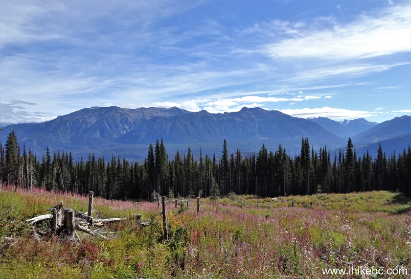
View from Green Mountain Trail near Gold Bridge BC
28. This was the trail condition at the 1.05 km mark on May 21, 2021.
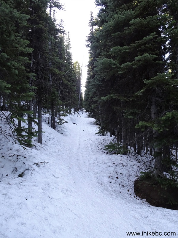
Snow on Green Mountain Trail by Gold Bridge British Columbia
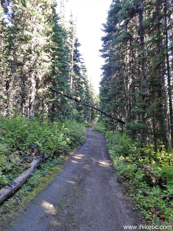
29. At 1.15 km of Green Mountain Trail near Gold Bridge, British Columbia, Canada.
Green Mountain Trail Hike British Columbia
30. At 1.68 km, a major split. Coordinates: N 50⁰47.704' W 122⁰55.280'. Elevation: 1,780 meters. In the GPS, it showed the trail on the right as the main trail (apparently, also used by snowmobiles), while the trail on the left is for hiking only. Both trails reunite just before the lookout shack. However, if you take the trail on the left, you would miss the best view before the shack (though you can check it out on the way back). We took the trail on the right both ways.

Hiking Green Mountain Trail near Gold Bridge BC
Our Green Mountain Trail Hike trip report Continues on Page 2.


|
 |
Other Trips:


![]()
![]()
![]()
ihikebc.com Trip 322 - Green Mountain Trail Hike (near Gold Bridge, BC) Page 1 of 4