![]()
![]()
![]()

Trip 242 - May 9, 2022 (Monday)
Surrey Bend Regional Park Visit
Surrey BC Canada
Liked: Several fine river, forest and field views, fresh air, overabundant vegetation along and above the easy and flat trail, no bugs.
Vancouver, Coast & Mountains Backroad Mapbook (5th edition) Park Coordinates: Page 2 (Greater Vancouver) D3.
Related Website: Surrey Bend Regional Park - Metro Vancouver Official Website.
Surrey Bend Regional Park is likely so called because Fraser River makes quite a bend in this area. While hiking 6.8 km or biking 5.3 km of trails in this park, you get to see an occasional good river view, but, mostly, it's a very fine walk/biking on easy flat trails along some impressive trees and shrubs on both sides, occasionally forming a green ceiling of sorts above your head.
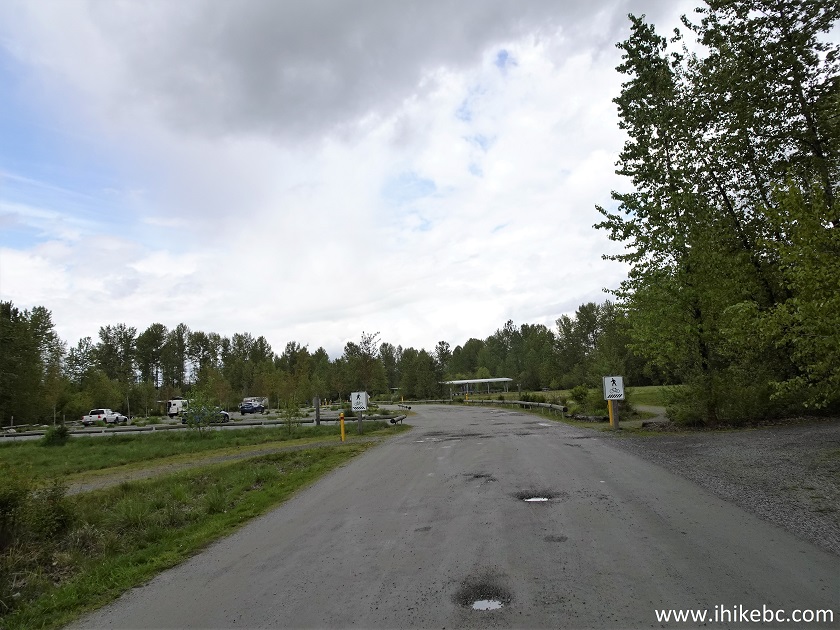
The 200 meter-long parking lot access road has numerous and fairly deep potholes, but, other than that and persistent moderate noise from a nearby industrial installation, Surrey Bend Regional Park is a very pleasant place to visit.
1. Here is a Google map of Surrey Bend Regional Park.
2. To get to Surrey Bend Regional Park from Vancouver, take Highway 1 East. Here we are crossing Port Mann Bridge.
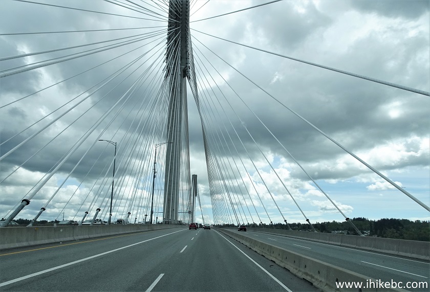
Port Mann Bridge
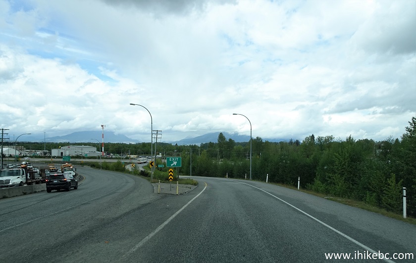
3. Take Exit 53 to Highways 15 and 17.
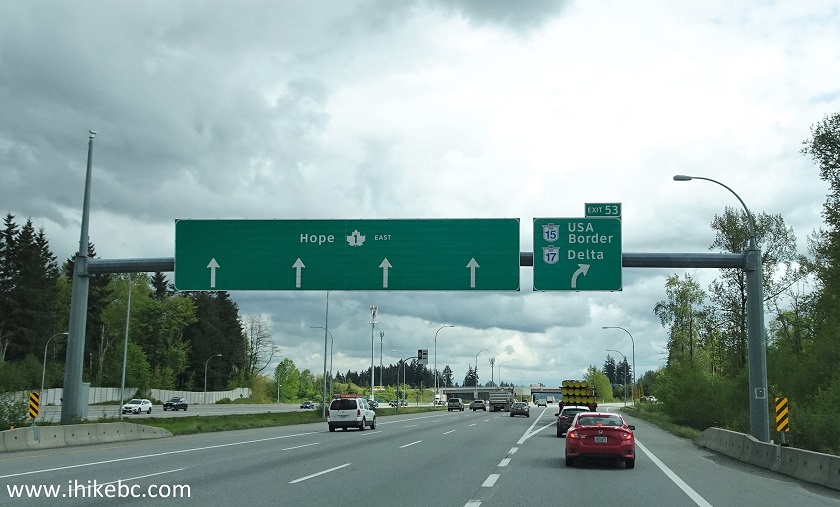
TransCanada Highway 1 East at Exit 53 to Highways 15 and 17
4. Get onto Highway 17.
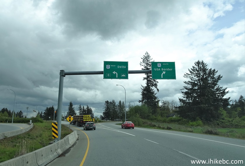
5. Drive on Highway 17 for about one kilometer.
BC Highway 17
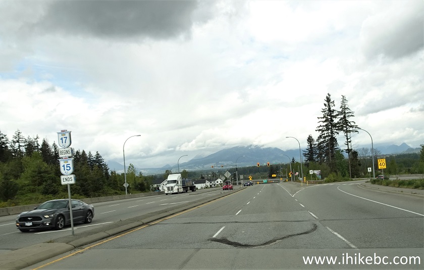
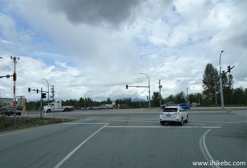
6-7. Exit onto 104 Avenue East.

BC Highway 17 at 104 Avenue Exit
8. Upon reaching 104 Ave, make a right turn (pictured below) followed by an almost immediate (within 100 meters) left turn (not pictured) at a traffic light to stay on 104 Ave.
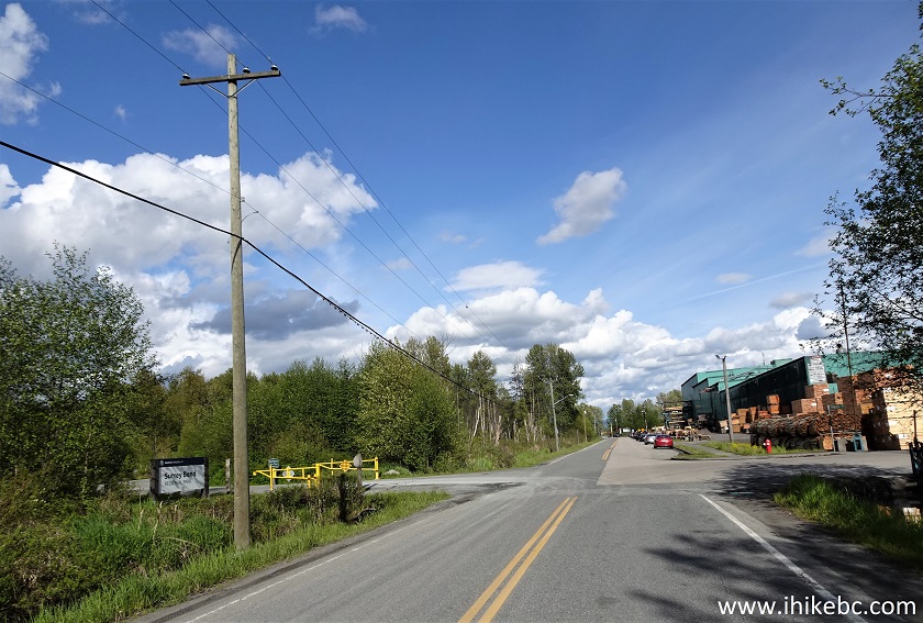
9. Having made that left turn, you stay on 104 Ave, and Surrey Bend Regional Park Entrance would be on the left side within several hundred meters. If you were to continue straight here, Barnston Island Ferry (covered in the next trip report) would be at the end of 104 Ave within 300 meters or so.
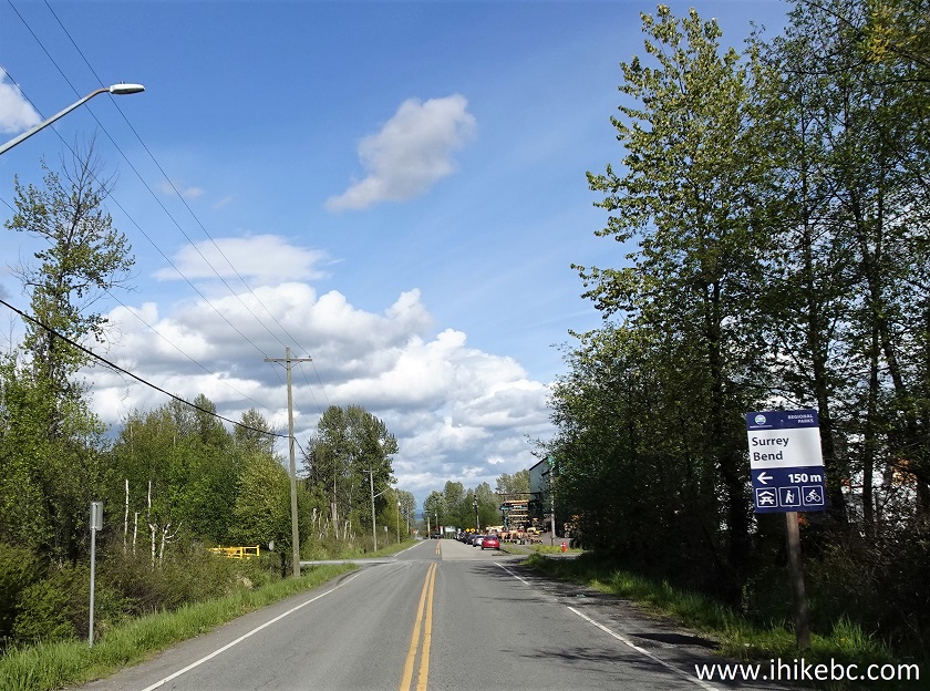
104 Avenue Surrey BC Canada
10-11. The park was open from 7 AM to 9 PM today, but hours vary depending on the season.
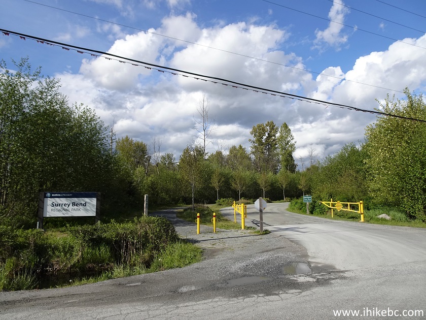
Surrey Bend Park Entrance
12. The parking lot is within 200 meters from the entrance, but the access road has numerous fairly deep potholes.
Surrey Bend Regional Park
13. Surrey Bend Regional Park parking lot. Quite large. The parking is free. Should the lot be full, the parking lot by Barnston Ferry is also free, and a 300 meter-long path connects that lot with this one.
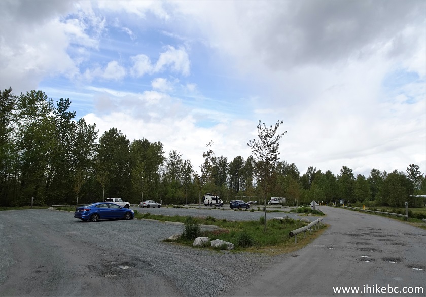
Parking Lot for Surrey Bend Regional Park
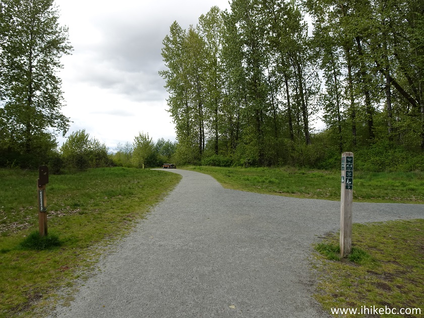
14. The entrance to the park's recreational area at the end of the parking lot.
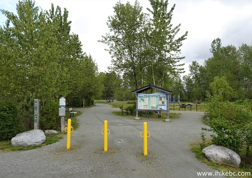
Surrey Bend Regional Park
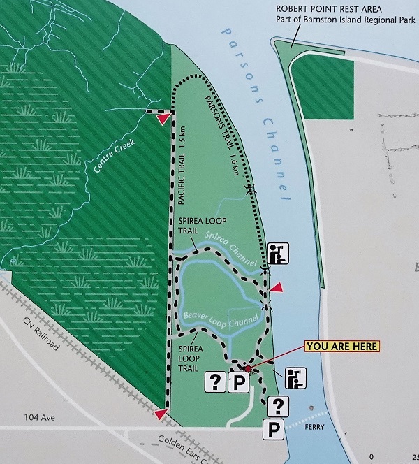
15-16. Here is a map of Surrey Bend Regional Park, taken from the board seen in the photo above. There are two river viewpoints, and we missed the upper one by turning left before reaching it. The lower one could be at the end of Center Creek Trail (starting at a junction in photo #25), or could be one of the river views we have observed along Parsons Trail - it's hard to tell. We ended up hiking partial Parsons Trail and then Spirea Loop Trail to return to the parking lot, but a hike can be extended further by continuing on Parsons Trail past the second viewpoint and making a bigger loop by returning via Pacific Trail.
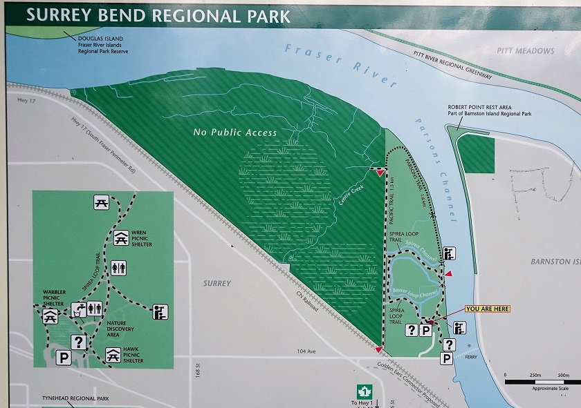
Surrey Bend Regional Park Map
17. Right by the parking lot, on the right side past the information board, there is a short path to Parsons Channel South Lookout.
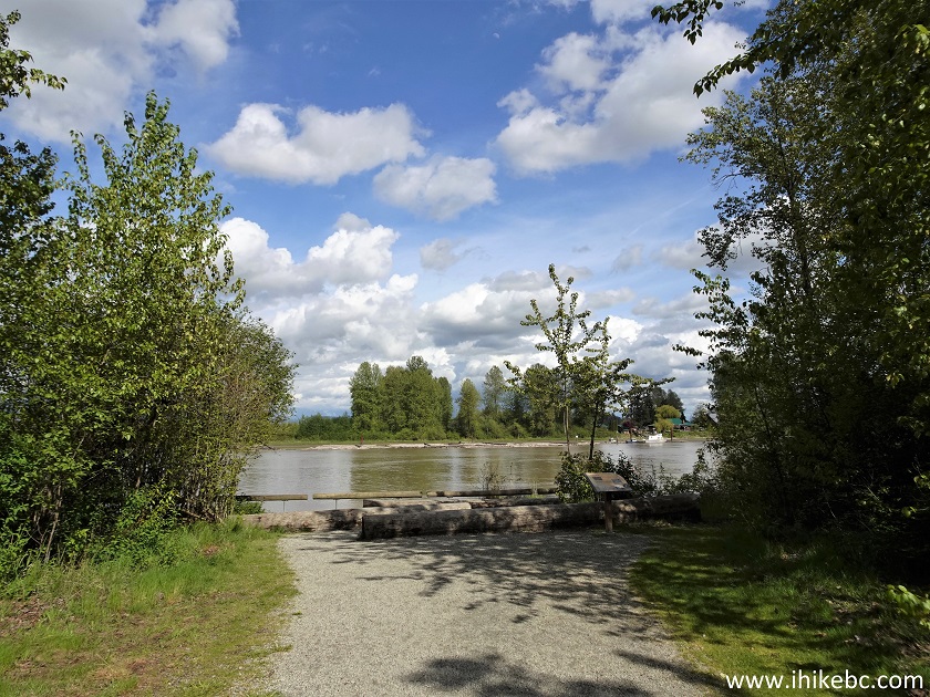
Surrey Bend Regional Park Surrey BC Canada
18. This is Parsons Channel, the part of Fraser River between Surrey and Barnston Island. The ferry for Barnston Island, which we will have much more of in the next trip report, can be observed on the far right side.
Fraser River Parsons Channel
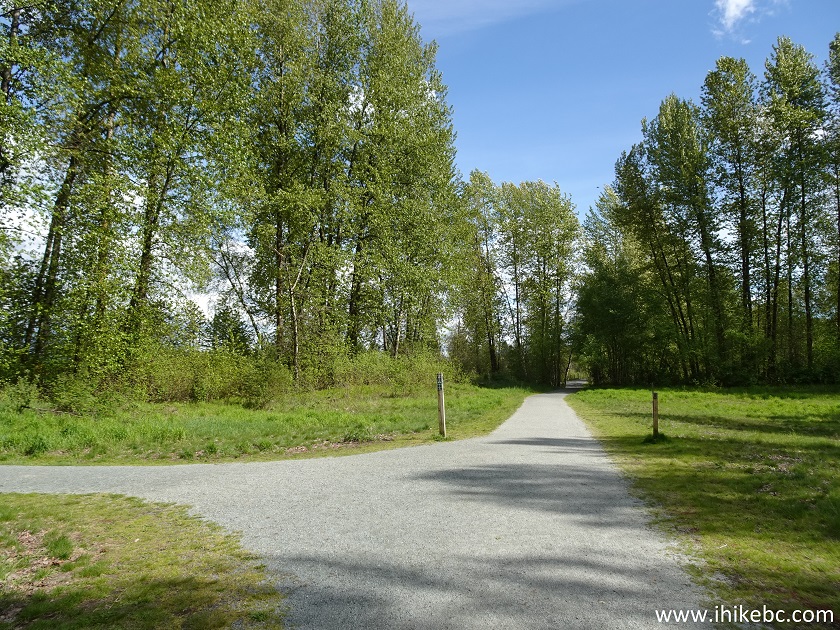
19. Now we are hiking on Parsons Trail at about 370 meters, and here is the intersection with Spirea Loop Trail where we turned right to stay on Parsons Trail. We will end up coming from the direction facing us in the photo below after completing Spirea Loop Trail (photo #31).
Parsons Trail in Surrey Bend Regional Park
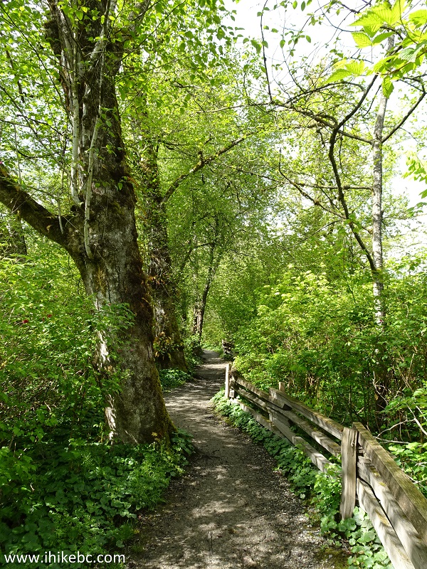
20. Parsons Trail at 500 meters. All distances are based on a GPS odometer and are approximate. Here is that "green ceiling" we referred to earlier in the trip report. It's like walking through somewhat of a vegetation tunnel.
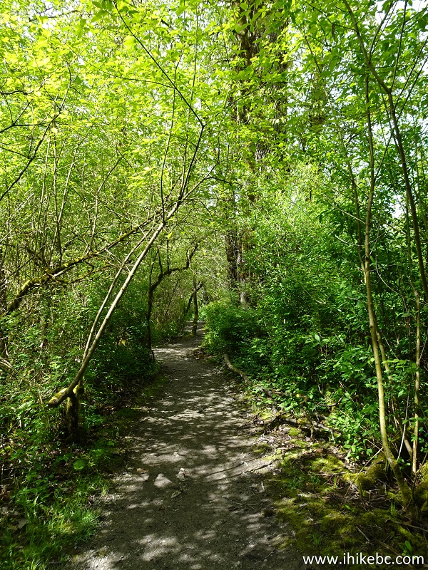
Surrey Bend Park - Parsons Trail
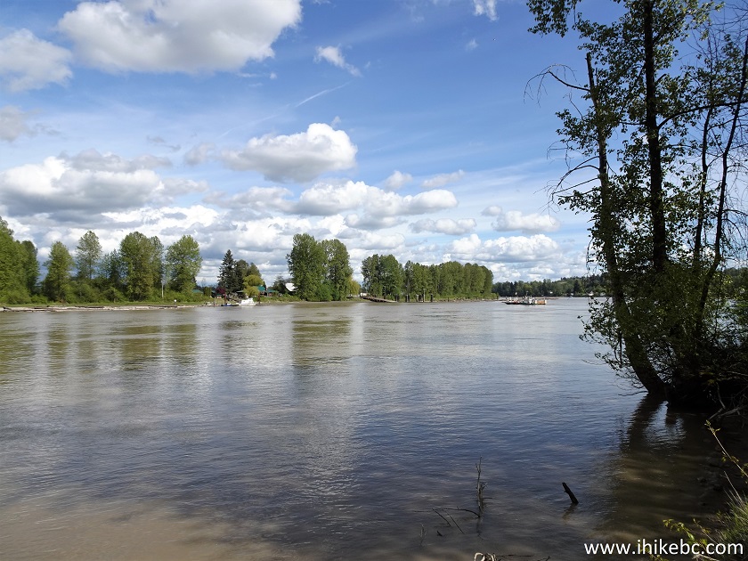
21-22. At 590 meters, there is another good Fraser River view just beyond the fence.
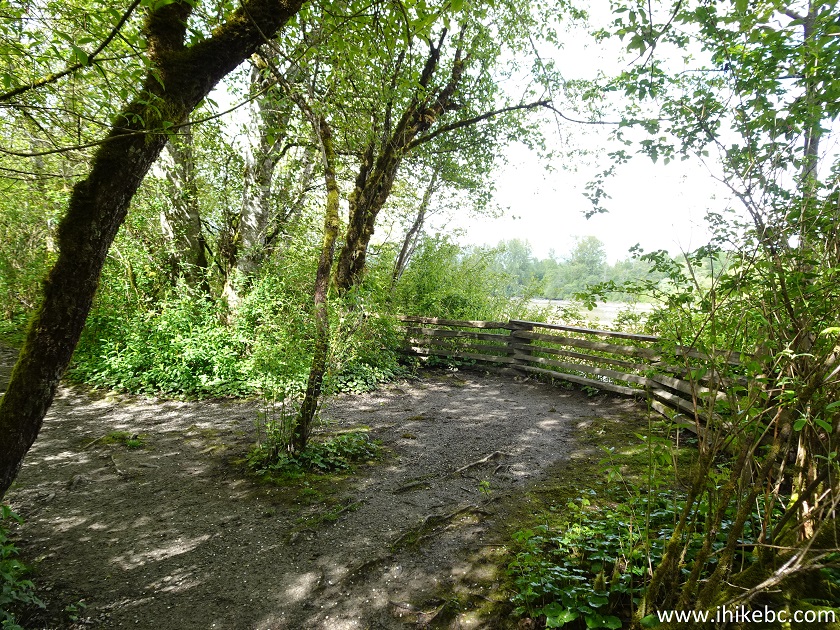
Fraser River
23. Parsons Trail is a very pleasant hike.
Parsons Trail - Surrey Bend Regional Park - Surrey BC Canada
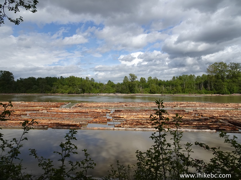
24. One more Fraser River view at 1.38 km from the parking lot.
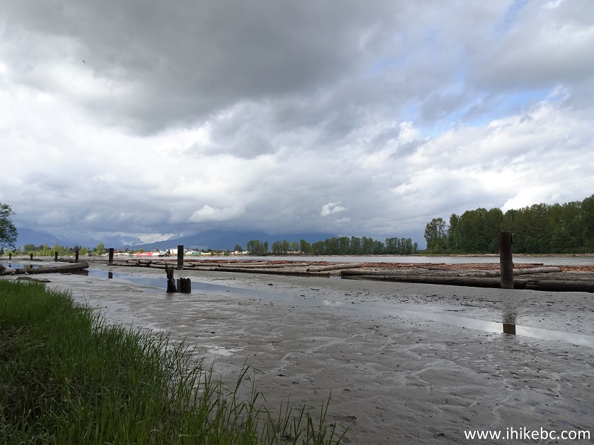
Fraser River View from Surrey Bend Regional Park
25. At 2.05 km, there is a junction with Center Creek Trail, which starts on the right side. Not sure where it leads, perhaps to the first viewpoint listed on the map?
Parsons Trail at Center Creek Trail in Surrey Bend Regional Park
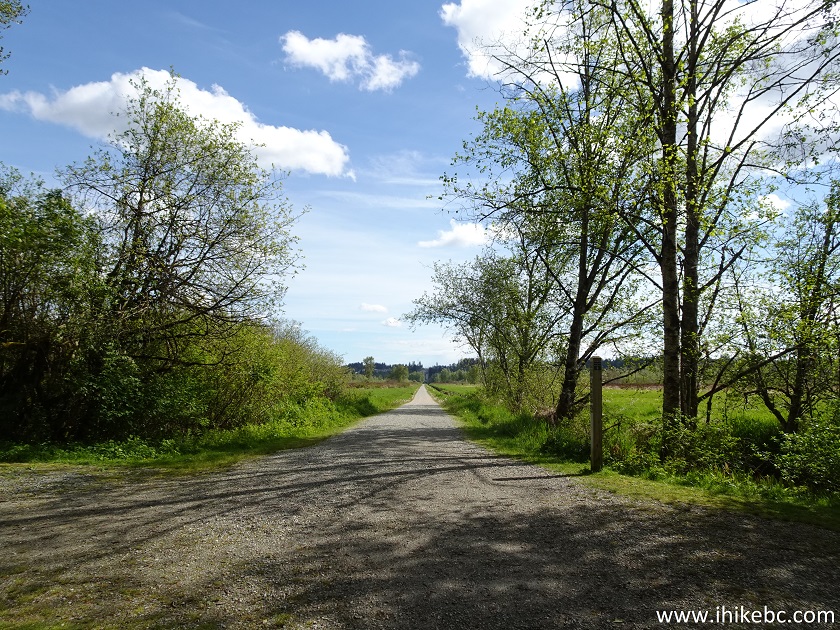
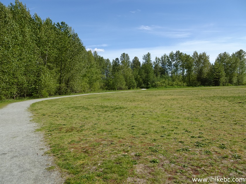
26. But we went straight and stayed on Parsons Trail, which, after the junction, comes out of the forest.
Parsons Trail - Surrey Bend Regional Park - British Columbia
27. At 2.8 km there is an option of making a short or a long loop back to the parking lot. Going straight is Parsons Trail, which will connect with Pacific Trail and lead back to the parking lot. And a shorter option is turning left here onto Spirea Loop Trail, which is what we did.
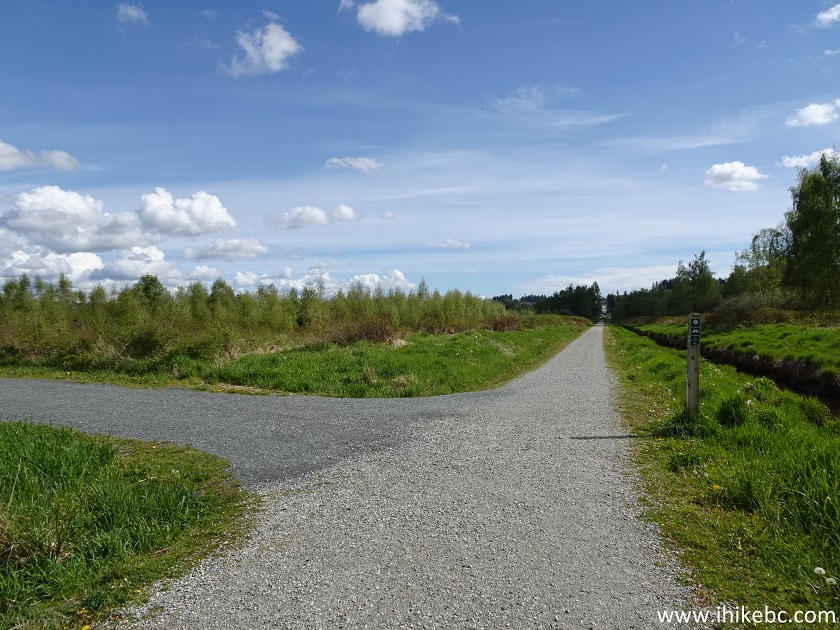
Surrey Bend Regional Park
28. A 100 meter connector to the longer loop. Turn left at the end of it to go back to the parking lot.
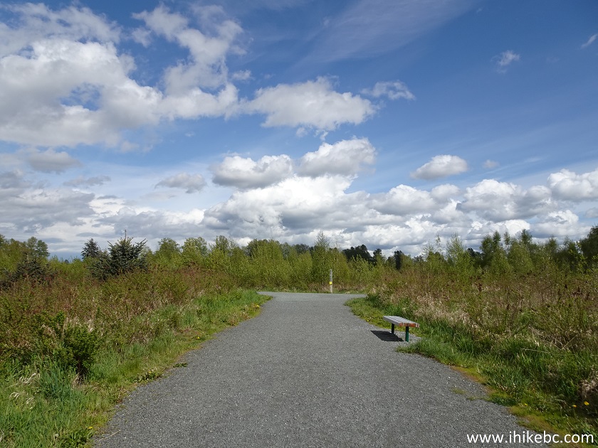
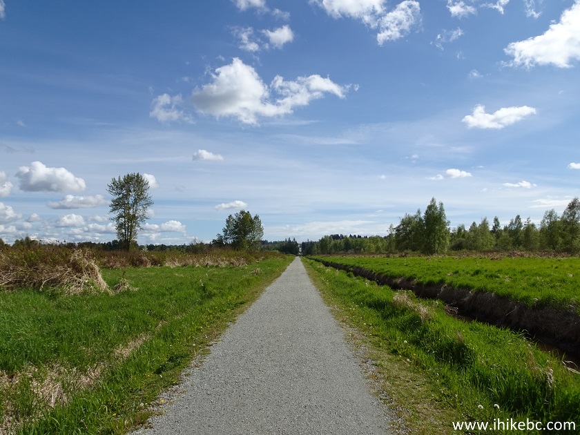
29. We have turned left to stay on Spirea Loop Trail.
Spirea Loop Trail
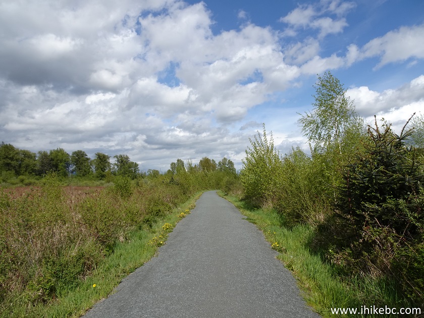
30. A fine view on the left side.
Surrey Bend Regional Park - Surrey BC Canada
31. And we are back at the same junction as seen in photo #19, except coming from the other side.
Spirea Loop Trail at Parsons Trail
32. Crossing a small bridge again, located a few hundred meters from the parking lot.

Surrey Bend Regional Park British Columbia Canada
33. And this is a path to Barnston Island Ferry - it's about 300 meters to the ferry from Surrey Bend Regional Park parking lot, and the path is located to the right of the parking lot as you are entering the park. Of course, you can drive past the park entrance on 104 Avenue and reach the ferry that way too.
Surrey Bend Regional Park Path to Barnston Ferry
Our easy hike today via Parsons Trail and Spirea Loop Trail was about 3.5 km long. Surrey Bend Regional Park is a fine park to visit. Recommended.


|
 |
Other Trips:


![]()
![]()
![]()
ihikebc.com Trip 242 - Surrey Bend Regional Park (Surrey BC Canada)