![]()
![]()
![]()

Trip 223 - July 14, 2021 (Wednesday)
Jack's Peak Trail Hike
Near Port Alberni BC
Page 1 of 2
Liked: Three
waterfalls, impressive mountain views (mostly at the end of the trail), shade in the forest, very few bugs in the first half of the trail.
Of Note:
Remote wilderness area. From the trailhead to mini-dam/first waterfall – copious amounts of bear scat and numerous raspberry bushes. Bear scat is present all the way to the trail end. The trail is steep and challenging beyond the first waterfall, with several short scrambling sections, some overgrown parts, occasional navigational difficulties, and is suitable for experienced, well-equipped hikers only. Hiking poles and boots are recommended to the first waterfall, and are essential beyond that. A GPS with the trail ribbon, and long pants are highly recommended. Creek crossing (by the dam) may be required, or a semi-dangerous crossing on a log above the dam. Some bugs in the second half of the trail.Vancouver Island Backroad Mapbook (9th edition) Trailhead Coordinates: Page 15 (Kennedy Lake) F2.
Other Trips in Port Alberni Area: Cold Creek Falls Trail, City of Port Alberni Visit.
Jack's Peak Trail starts at a Marion Creek Forest Service Road spur, and Marion Creek FSR starts off BC Highway 4, about 55 kilometers West of Port Alberni. The trail begins as a gated forest service road, which gets progressively more overgrown the further you go. Then, at about the 3.2 km mark, forest service road ends at a functioning mini-dam, which is located literally in the middle of nowhere. Perhaps, there is some industrial facility downstream, otherwise what's that thing doing there? Right by the mini-dam is the most impressive of the three waterfalls by Jack's Peak Trail. The end of the trail is almost 4 km further, and the going gets very tough after the mini-dam/first waterfall. There are a few fallen trees, some overgrown areas, much steeper terrain, and occasional challenges with finding the continuation of the trail. The views at the end are quite impressive, if not spectacular. Moreover, two very fine waterfalls are located further along Jack's Peak Trail, with one being just a few hundred meters past the mini-dam, and the other one closer to the final destination.
1. We are Westbound on BC Highway 4, about 55 kilometers West of Port Alberni, getting ready to turn left onto Marion Creek Forest Service Road.
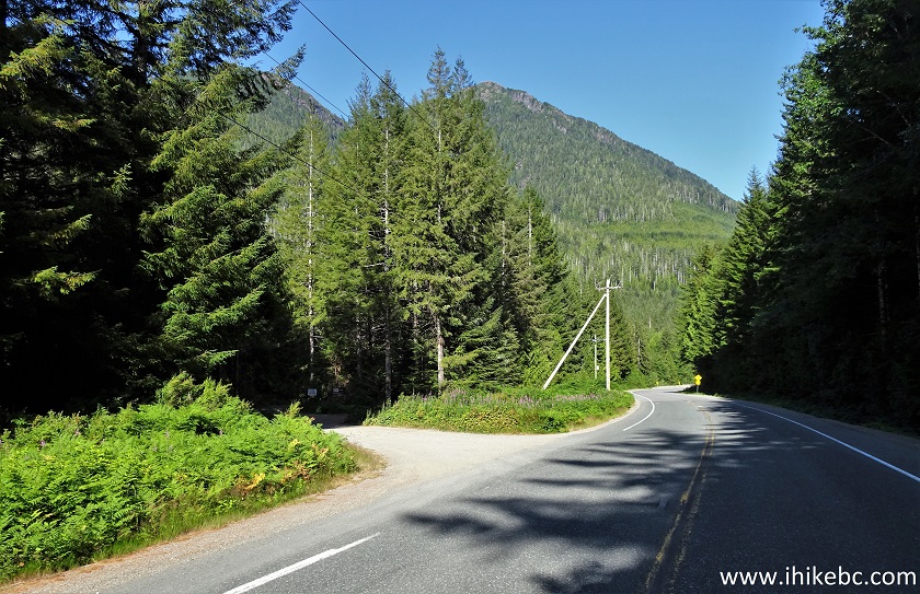
BC Highway 4 at Marion Creek FSR Turnoff
2. The beginning of Marion Creek FSR. Coordinates:
N 49⁰14.552' W 125⁰21.747'. Elevation: 140 meters.
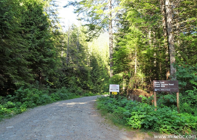
Marion Creek FSR Start
3. Proceed for 800 meters, and make a left turn onto an unnamed spur road. Coordinates:
N 49⁰14.441' W 125⁰21.224'. Elevation: 184 meters.
Marion Creek FSR at Jack's Peak Trail Access Road
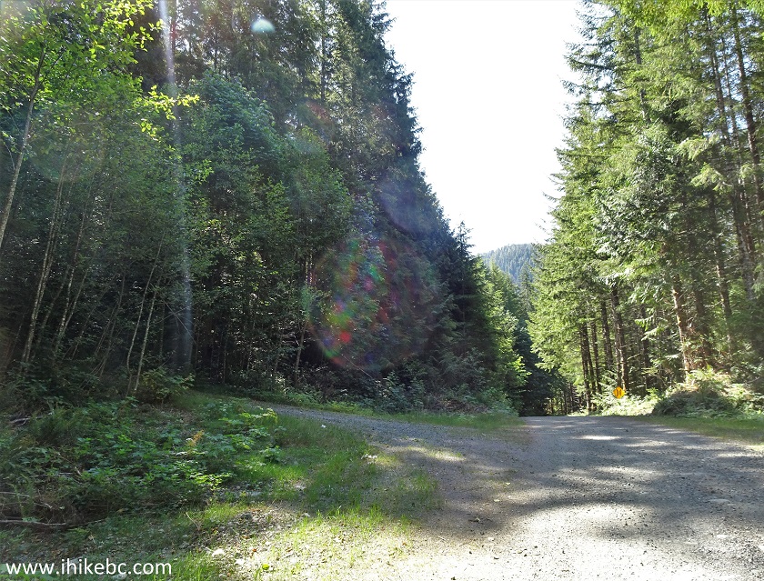
4. The unnamed spur road 500 meters after turning from Marion Creek Main FSR.
Jack's Peak Trail Access Road
5. 900 meters after making the left turn, we have arrived to a closed gate. All but low-clearance vehicles would have little trouble getting here from Highway 4. Coordinates:
N 49⁰14.353' W 125⁰20.859'. Elevation: 280 meters. This is the beginning of Jack's Peak Trail. Signs warning of high voltage and 24 hour surveillance refer to a mini-dam 3.2 km later.
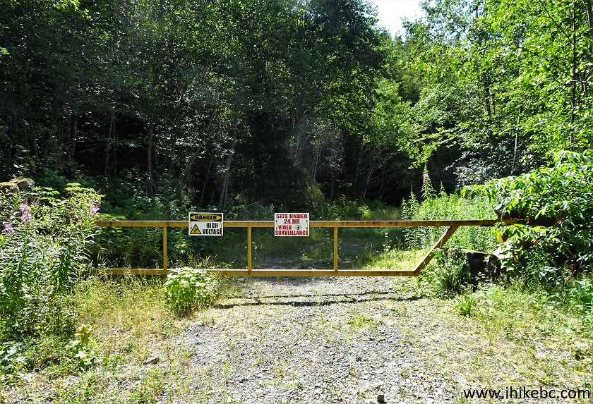
Jack's Peak Trailhead near Port Alberni British Columbia Canada
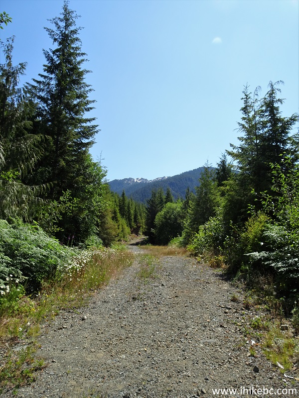
6. The first 3.2 km are a moderately difficult hike up a forest service road. At 100 meters here (all distances are based on a GPS odometer and are approximate, especially after the mini-dam/first waterfall).
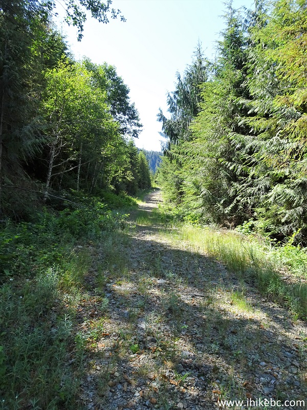
Jacks Peak Trail Hike in Port Alberni Area
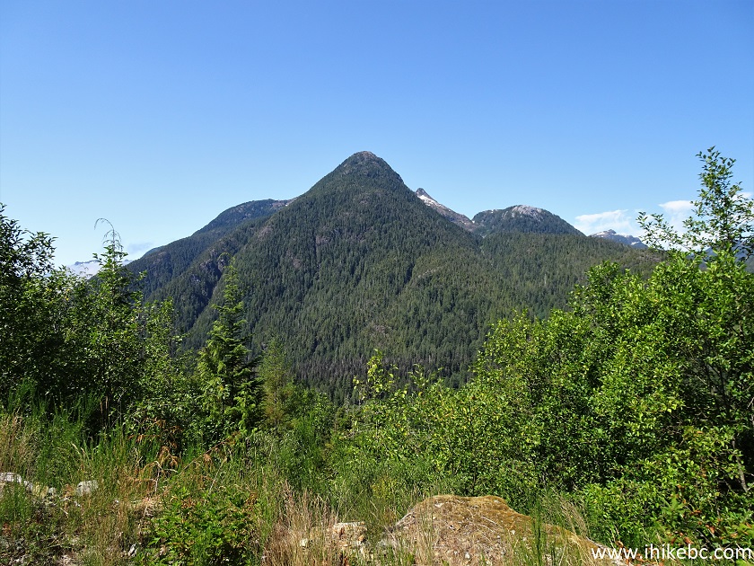
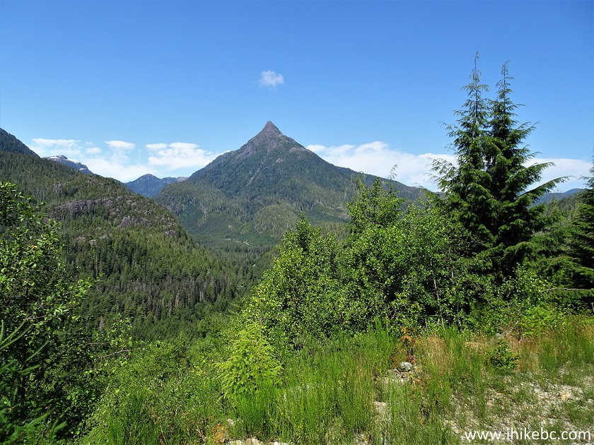
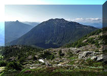
7-9. At 260 meters, there are two neat mountains on the right side. A general view, then slightly zoomed views.
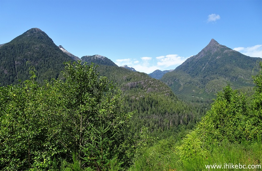
View from Jack's Peak Trail near Port Alberni British Columbia
10. At 420 meters here.
Jack's Peak Trail - Port Alberni Hiking
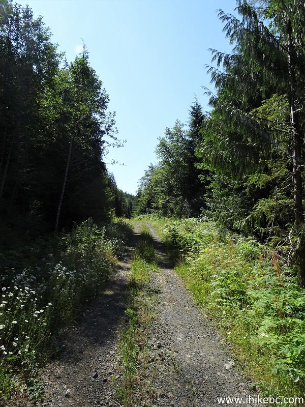
11. At 1.65 km, the grass on the road starts appearing in earnest.

Hike in Port Alberni Area - Jack's Peak Trail
12. Soon, the road becomes substantially overgrown. Watch out for bears - their scat and raspberry bushes are a common sight.
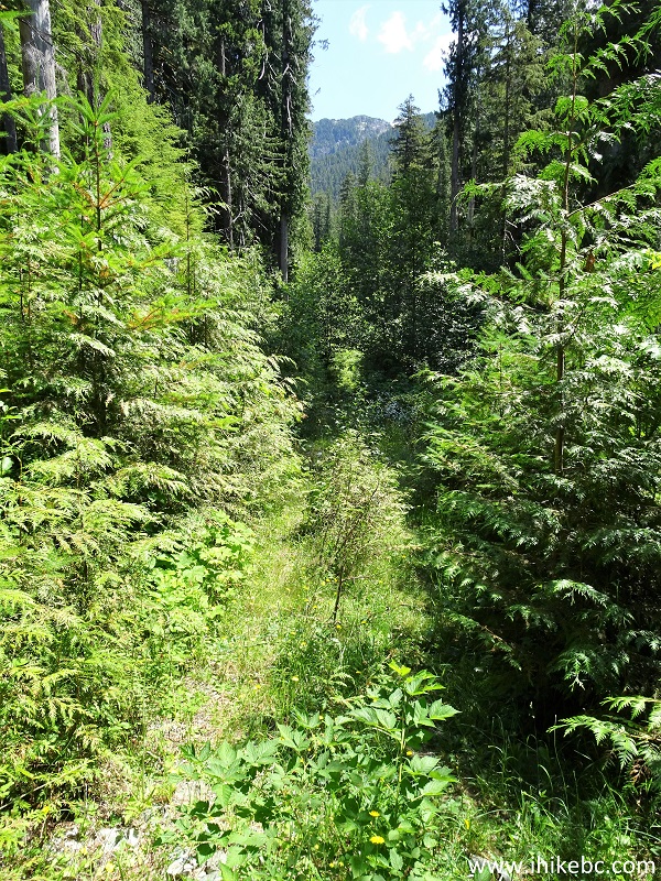
Hiking in Port Alberni Area - Jack's Peak Trail
13. Approaching the mini-dam, 3.1 km from the trailhead.
Jack's Peak Trail in Port Alberni BC Area
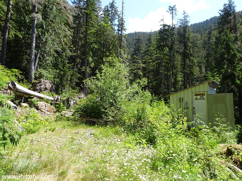
14. At 3.2 km, we are at the mini-dam, three locks and all.
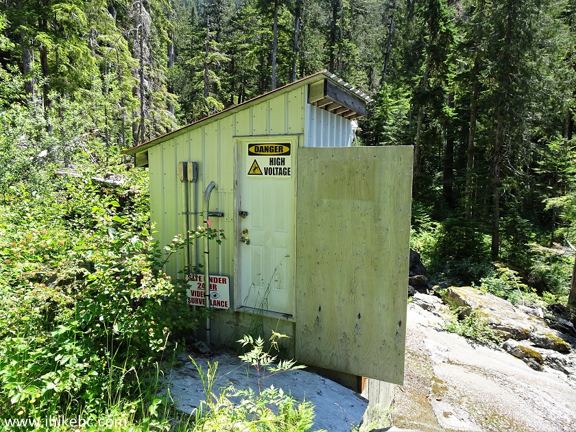
Jack's Peak Trail Mini-Dam in Port Alberni British Columbia Area
15. Here is the entire mini-dam view. This is also the best way to cross the creek. Try not to cross on a log above the dam - it looks wide, but it's a long way down...
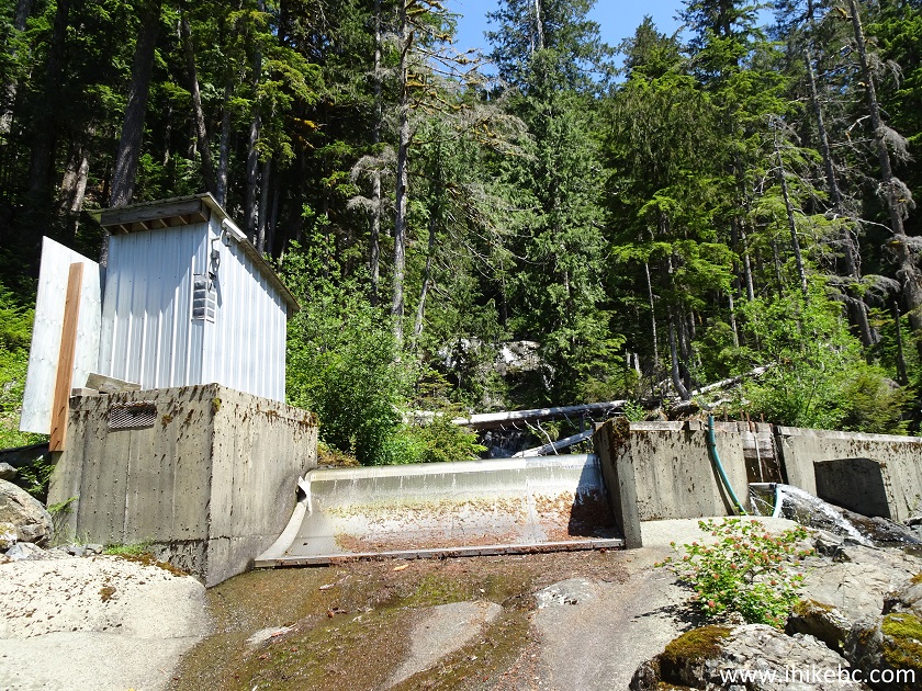
Mini-Dam along Jack's Peak Trail near Port Alberni BC Canada
Here is our video of the mini-dam.
16. A creek crossing just below the dam. Wading might be necessary in high water.
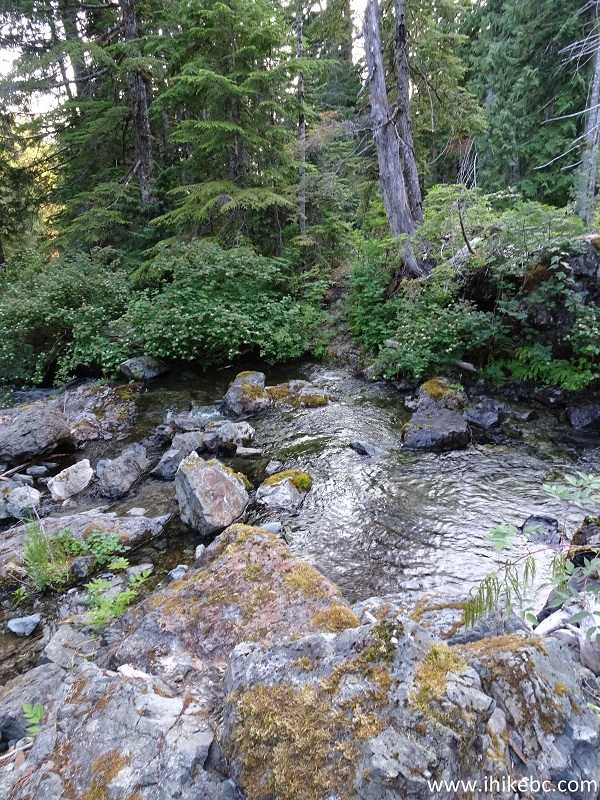
Jack's Peak Trail Creek Crossing below the Mini-Dam
17. Here is that log above the mini-dam. It actually rises a bit towards Jack's Peak, so going forward would be easier than going back, where your momentum might make things very complicated fairly high above the ground.
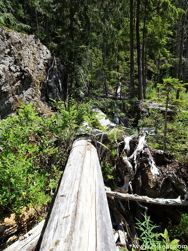
Jack's Peak Trail Log Crossing Above the Mini-Dam
18. There is a good view of the bottom of Waterfall #1 from the log.
Jack's Peak Trail Bottom of Waterfall #1
Here is our video of the bottom of Waterfall #1, and walking on the log.
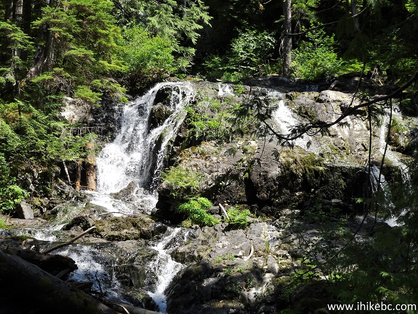
19. The best way to see the waterfall is to cross the creek and climb up on the right side. Beware of slippery stones. Coordinates:
N 49⁰14.181' W 125⁰19.123'. Elevation: 636 meters.
Jack's Peak Trail Waterfall #1 near Port Alberni BC Canada
Here is our main Waterfall #1 video.
20. It's the most impressive of the three Jack's Peak Trail waterfalls. With more water volume this would be even better.
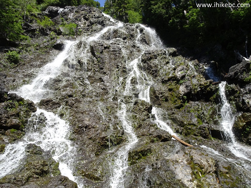
Waterfall #1 Jack's Peak Trail in Port Alberni Area
Here is our video of the upper part of Waterfall #1.
More ihikebc videos are on our YouTube Channel.
21. Beyond the mini dam/first waterfall, the trail gets very complicated, and is suitable for experienced, well-equipped hikers only.
Jack's Peak Trail
22. There is a large plastic pipe running along the trail for about a hundred meters, and directing a creek towards the mini-dam.
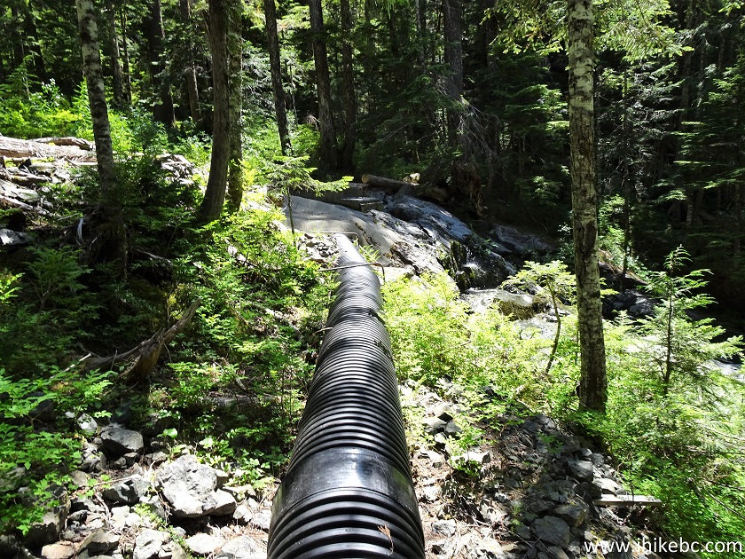
Plastic Pipe Along Jack's Peak Trail in British Columbia Canada
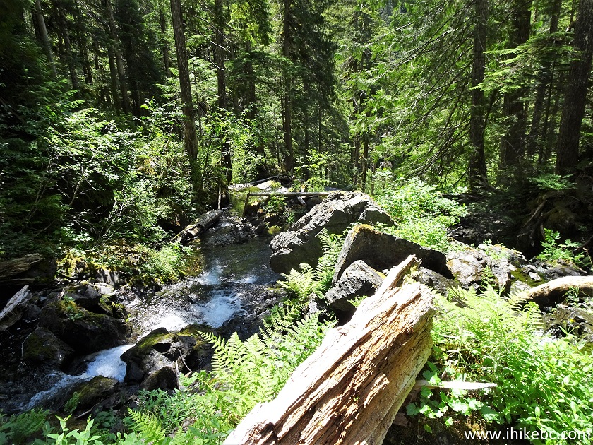
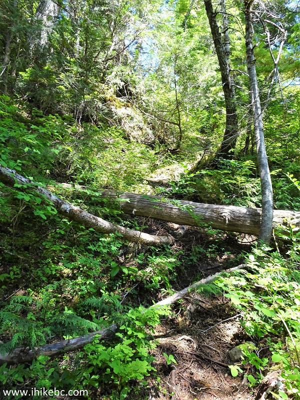
23. Some fallen trees are here too.

Fallen Trees on Jack's Peak Trail near Port Alberni BC
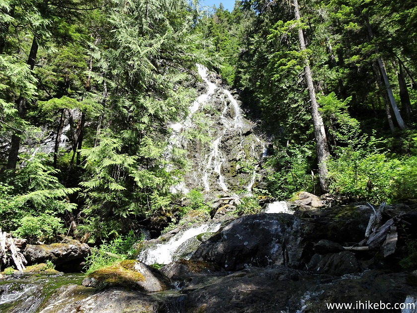
24. At 310 meters (distances going forward are from the mini-dam), a second waterfall appears through the bushes on the right side. Coordinates:
N 49⁰14.126' W 125⁰18.951'. Elevation: 697 meters.
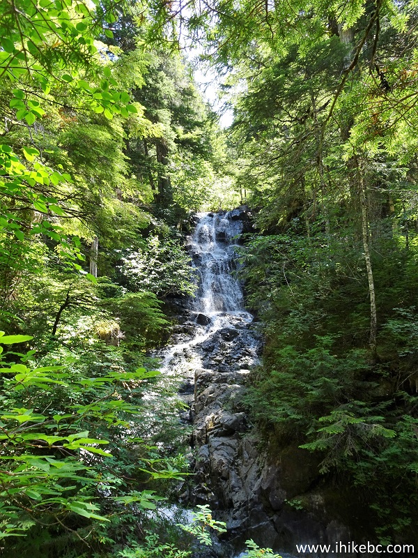
Jack's Peak Trail - Waterfall #2 - Vancouver Island Hiking
25. It's quite an impressive waterfall, though we did not see an obvious way to get closer. With some zoom here.
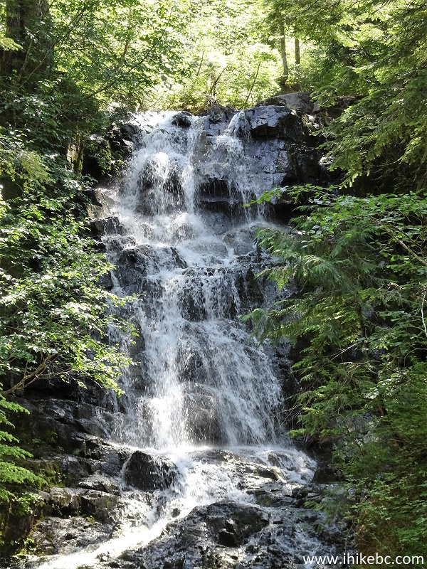
Port Alberni Hiking - Waterfall #2 - Jack's Peak Trail
Here is our video of Waterfall #2.
26. At 420 meters, there is a large exposed rock. Coordinates:
N 49⁰14.134' W 125⁰18.924'. Elevation: 714 meters. Keep to the left.NOTE: Louise Goetting Lake access path starts to the left of the Jack's Peak Trail about 400 meters past this rock. Coordinates for the beginning of the lake path (about 200 meters to the lake):
N 49⁰14.245' W 125⁰18.805'. If you have reached the "plateau" seen in photo #30, you have missed the path to the lake.
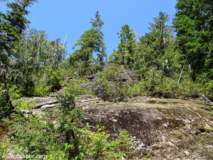
Jack's Peak Trail on Vancouver Island British Columbia Canada
27. Jack's Peak Trail at 730 meters past the mini-dam.
British Columbia Hiking - Jack's Peak Trail
28. Just a bit further, a short scrambling section.
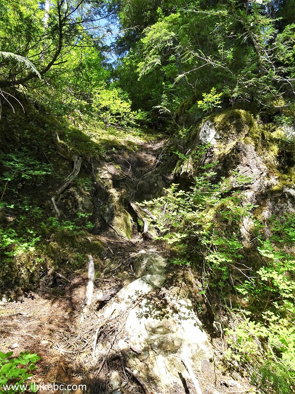
Jack's Peak Hiking Trail in British Columbia Canada
29. Soon, there is some overgrowth. The path is mostly easy to follow, but, a few times, we had to look for some time where to go next, even with flagging tape being present here and there, and with the trail mapped in our GPS (we've got Backroad Mapbook software).
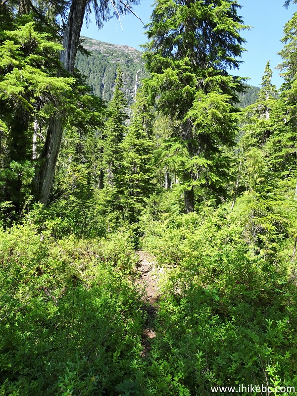
Jack's Peak Trail near Port Alberni BC Canada
30. One such confusing spot is this "plateau" at 775 meters past the mini-dam. Coordinates:
N 49⁰14.241' W 125⁰18.757'. Elevation: 809 meters. Turn left at first, then, after a short while, turn right. It's a fairly small area, so should not be much of a navigational challenge, if you know which way to proceed.
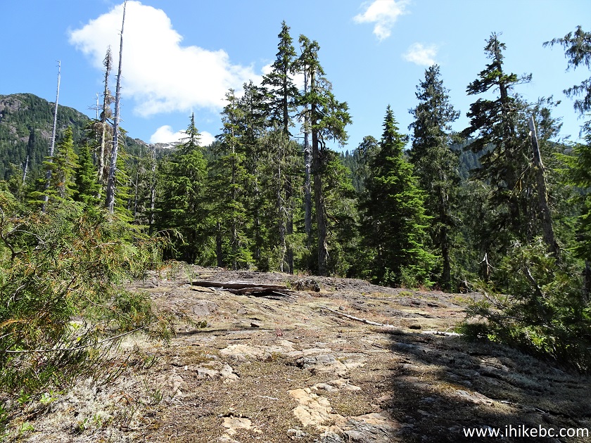
Hiking in British Columbia - Jack's Peak Trail near Port Alberni
Our Jack's Peak Trail Hike Trip Report Continues on Page 2.


|
 |
Other Trips:


![]()
![]()
![]()
ihikebc.com Trip 223 - Jack's Peak Trail Hike (Near Port Alberni BC) Page 1 of 2