![]()
![]()
![]()

Trip 088 - July 3, 2015 (Friday)
Shipyard & Titanic Trail Hike
Near Tumbler Ridge BC
Page 2 of 2
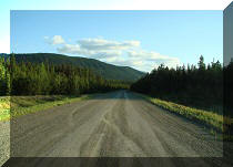
Location: Northeastern British Columbia, about 42 kilometers
Southeast of Tumbler Ridge.
Liked: Natural views, meeting several marmots, fairly easy path.
Of note: No cell phone signal, numerous dangerous crevices and steep drop-offs, wind gusts. Hiking poles and boots are recommended.
Northern BC Backroad Mapbook (3rd edition) Coordinates: Page 44 (Tumbler Ridge) D5.
Follow @ihikebc Tweet
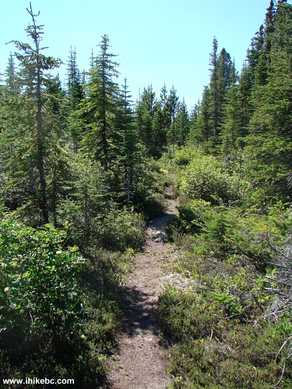
Shipyard & Titanic trail is located just a few kilometers further up the road from Boulder Gardens route. Shipyard & Titanic has several great views, and there is an option to extend the hike by climbing a small mountain at the end of the trail to explore the alpine area. Marmots live along this trail, and you are likely to see at least one of them, as these creatures are very curious, and come out from their hiding places to see what is going on.
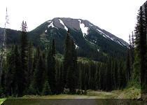
25. It's hard to describe the safest way to go up Pink Mountain, but what worked for us was going up the left side first, and then slowly making our way in the opposite direction, while gaining altitude.
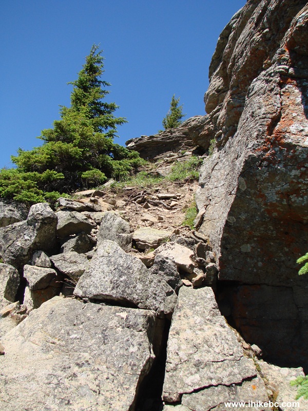
Tumbler Ridge Hiking
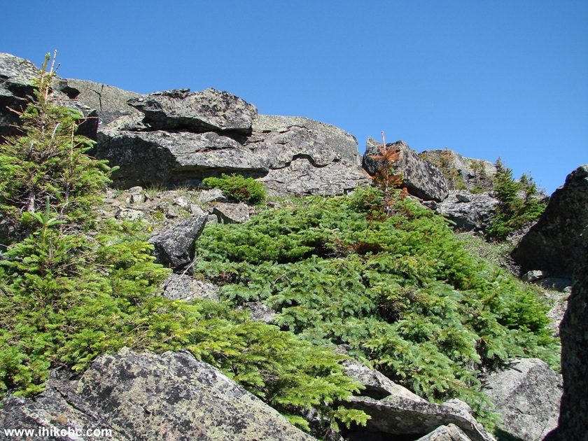
26. Neat "pancake" stones (hello, Boulder Gardens).
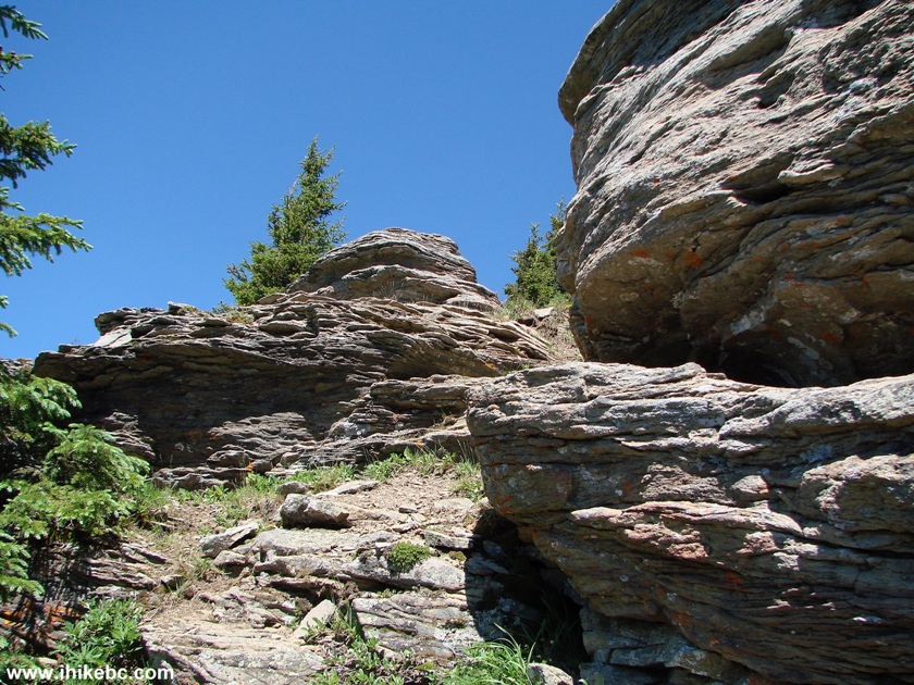
Hiking in Tumbler Ridge Area
27. Looking back.

Hike Tumbler Ridge
28. Titanic at the bottom.
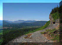
Looking From Above at Shipyard & Titanic Trail Near Tumbler Ridge
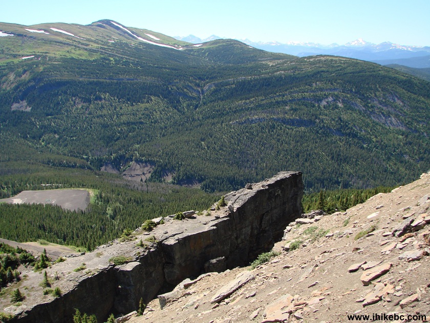
British Columbia Canada
29. Looking right. In photo #22, we saw "Titanic" from this wedge-y "Titanic Rock" (seen on the right side of the photo below). And, at the bottom of the photo below, is the part of Pink Mountain that we have already climbed.
Tumbler Ridge Hike
30. Now comes the "moving in the opposite direction while slowly gaining altitude" part.
BC Hike
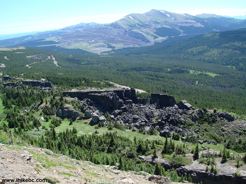
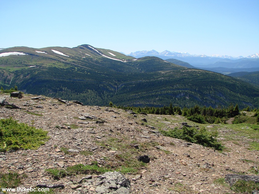
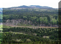
31. One more look back. The large green open space in the middle of the photo is the part of Shipyard & Titanic Trail seen in photo #15.
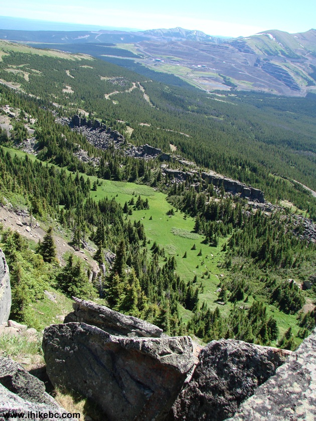
Shipyard And Titanic Trail Seen From Above
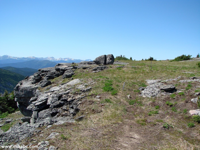
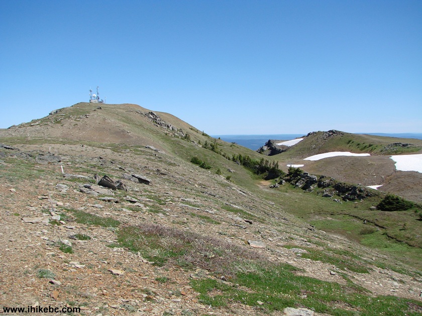
32. It took about 35 minutes to get to the top of Pink Mountain. Wide and mostly flat alpine area opened before our eyes. And the strangest thing was finding a never-ending row of small stakes accurately sitting in the ground, with about ten meters separating one stake from the next.
Hike BC
33. Intrigued, we decided to follow the stakes to see where they would lead us. It turned out that this is the route for the annual Emperor's Challenge mountain half-marathon, and we were in the vicinity of the 12th kilometer.
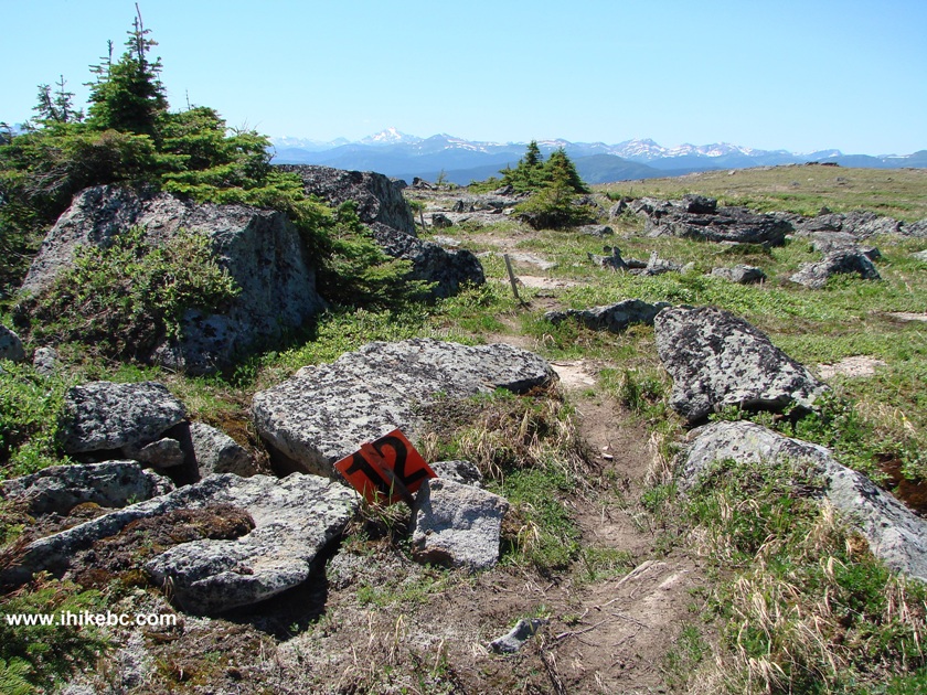
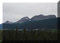
Emperor's Challenge Course Near Tumbler Ridge BC Canada
34. We kept following the stakes, while admiring the views.
BC Hiking
35. Melting snow formed an alpine pond, which covered some of the Emperor's Challenge stakes. The race is held in August, by the way.
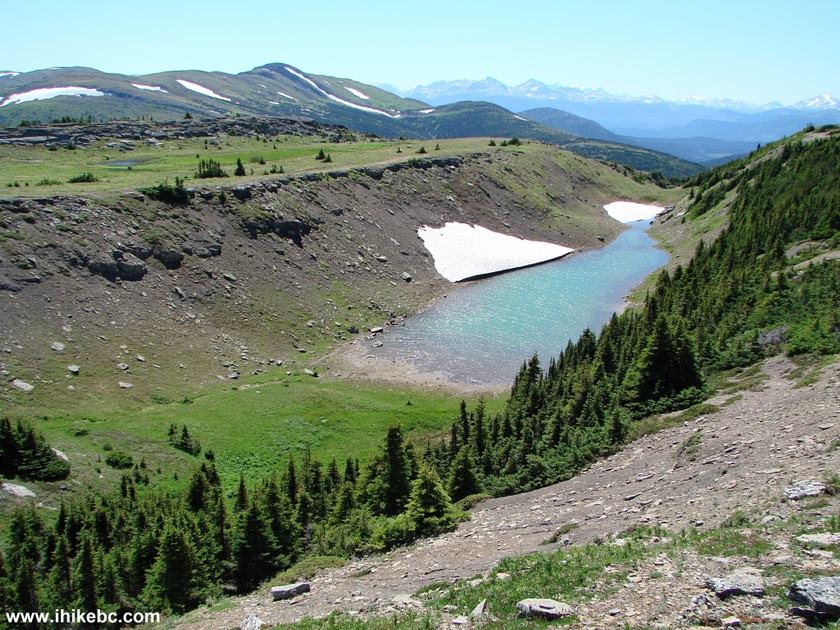
Alpine Pond by Emperor's Challenge Half-Marathon Course by Tumbler Ridge
BC Canada
36. And the views kept getting better and better.

Hiking in British Columbia
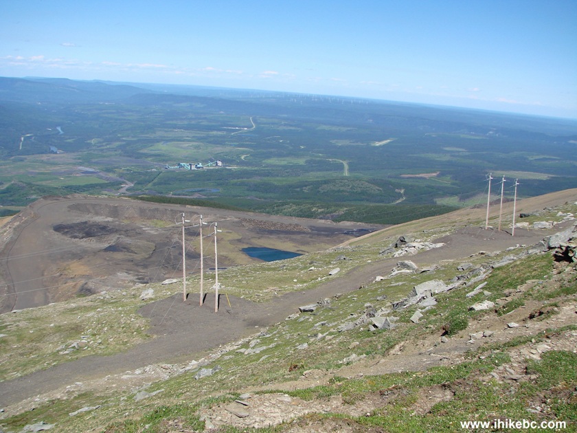
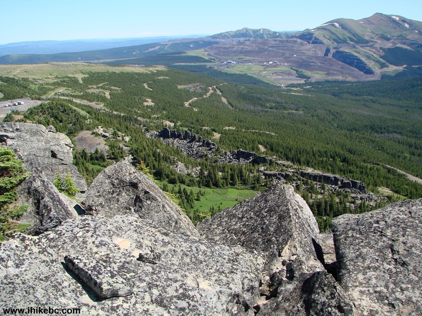
37. To our left we found an industrial road, with Quintette Mine seen in the middle of the photo, and with the Tumbler Ridge aerodrome runway seen at the 2 o-clock position.
38. Far ahead we spotted a weather station, and decided to check it out. The Emperor's Challenge stakes were going in that direction too.
Northeastern British Columbia Hiking
39. Here is the station. Coordinates: N 54'56'333 W 121'00'170. It took about fifty minutes to get here from the top of Pink Mountain.
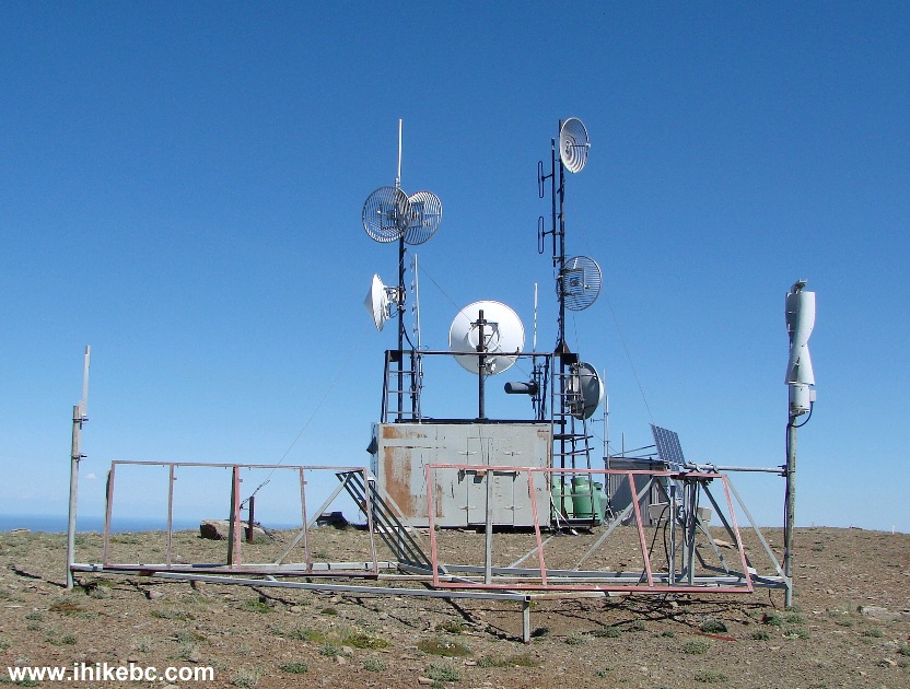
Weather Station on a Mountain by Tumbler Ridge BC Canada
40. It was very windy in the alpine area, and the windbreaker's hood came very handy. We had a lunch break by the weather station, and then went further ahead for a few hundred meters.

Tumbler Ridge Hiking
41. Just about here, the stakes of the Emperor's Challenge veered to the left, and we made a turnaround and went back, though slightly to the left of the path we took to get up to this point.

Hiking in Tumbler Ridge Area
42. Approaching the pond seen in photo #35.

Canada Hiking
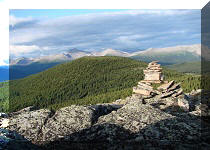
43. And we are back at the top of Pink Mountain, looking down.
Hike in Canada
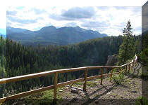
44. After that, we got back to the parking area, and decided to check out Tarn & Towers Trail, located to the left of Shipyard & Titanic.
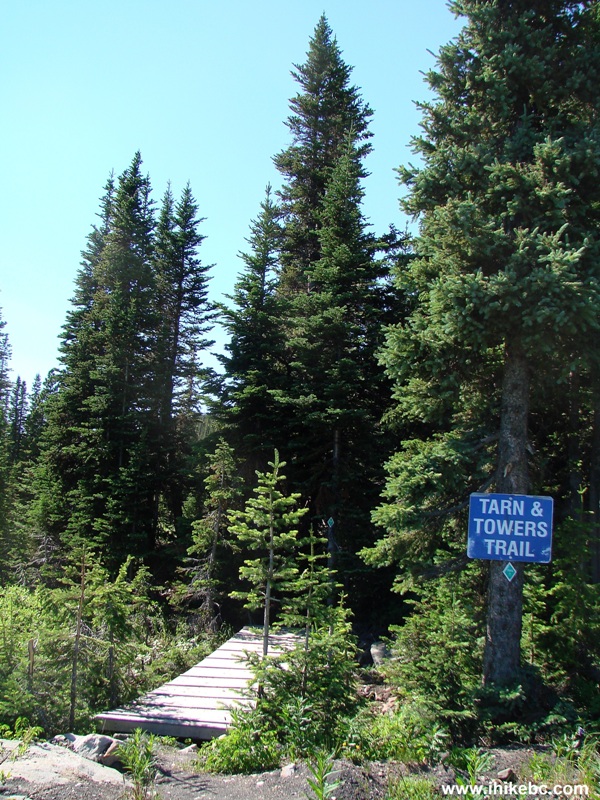
Tarn & Towers Trailhead near Tumbler Ridge BC Canada
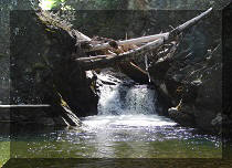
45. Here is the tarn.

Tarn
46. The boardwalk.
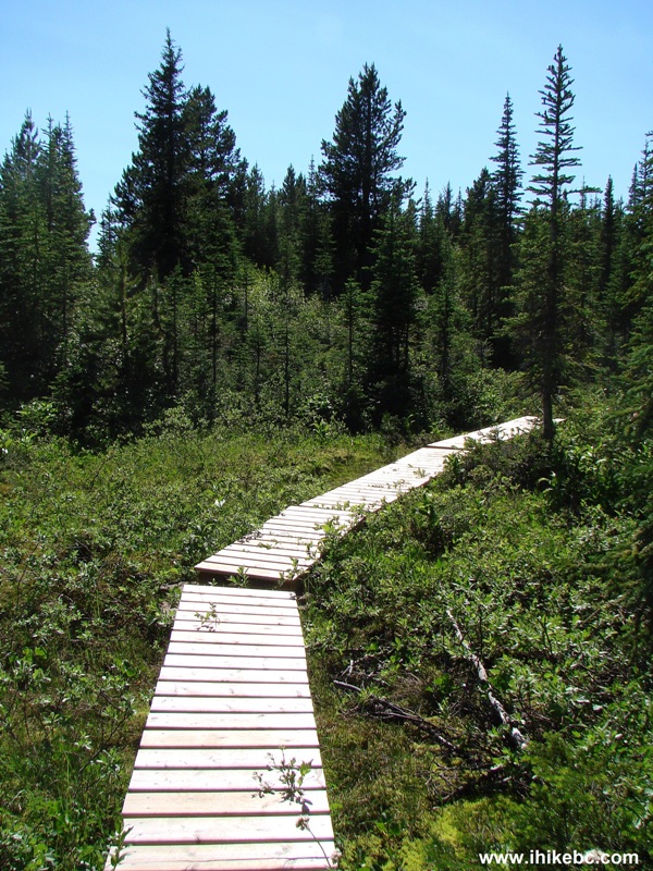
Boardwalk - Tarn & Towers Trail BC Canada
47. The path.
Tarn And Towers Trail Near Tumbler Ridge British Columbia Canada
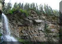
48. And, seven minutes after the start of the trail, the towers.

End of Hike View Tarn & Towers Trail BC Canada
If you are in the Tumbler Ridge area, Shipyard & Titanic trail is certainly a hike you would not want to miss.


|
 |
Other Trips in Tumbler Ridge BC Area:
|
|
|
|
|
|
|
|
|
|
|
|
|
|
|
|
|
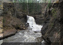
Monkman
Falls Hike
|
|
Windfall Lake Trail  |
|
Cowmoose Mtn Trail
|
|
Bootski Lake Trail  |
|
Murray Canyon
Overlook
|
|
Quality Canyon Trail  |

Other Trips:


![]()


![]()
![]()
![]()
Follow @ihikebc Tweet
ihikebc.com Trip 088 - Shipyard & Titanic Trail Hike (near Tumbler Ridge BC) Page 2 of 2