![]()
![]()
![]()

Trip 057 - August 16, 2011 (Tuesday)
Chilliwack Lake Forest Service Road
Access to South end of Chilliwack Lake
Distance From Vancouver to the Beginning of Chilliwack
Lake FSR: 136.5 kilometers: 90.5 km from Vancouver
(Grandview Hwy entrance to Hwy 1 East) to Exit 119 (Yale Rd / Vedder Rd)
in Chilliwack. Then 5.5 km on Vedder Road to Chilliwack Lake Road. Then
40.5 km on Chilliwack Lake Road to the beginning of Chilliwack Lake
Forest Service Road.
Liked: Impressive lake views. Access to South end of Chilliwack Lake through a side road (Depot Creek FSR). Accessible by 2WD vehicles with decent clearance.
Of note: Very rough road full of large deep potholes. Overnight camping prohibited. Limited access to the lake.
Vancouver, Coast & Mountains Backroad Mapbook (2010 edition) Coordinates for the Beginning of the FSR: Page 5 (Chilliwack Lake) F5.
Related Website: Chilliwack District FSR Information.
Other Trips in or near Chilliwack Lake Provincial Park: Flora Lake Trail, Greendrop Lake Trail, Radium Lake Trail, Chilliwack Lake Provincial Park.
Other Trips in Chilliwack Area: Williams Ridge Trail, Mount Thom Lookout Loop Trail, Vedder Rotary Loop Trail, Teapot Hill Trail Hike, Chilliwack Dyke Trail, Greendrop Lake Trail, Mount Cheam Peak Trail, Ling Lake Trail Hike (off Chilliwack Foley FSR), Chilliwack Foley FSR, Chilliwack Bench FSR, Elk-Thurston Trail, Slesse Memorial Trail, Downtown Chilliwack BC Visit, Minter Gardens, Town of Agassiz BC, Bridal Veil Falls Provincial Park.
Other Forest Service Roads Trips: Chehalis (by Harrison Mills), Chilliwack Bench, Chilliwack Foley, Chuchinka-Colbourne (North of Prince George), Clear Creek (off Harrison East), Florence Lake (access to Stave Lake by Mission), Harrison East, Harrison East Second Trip, Harrison West, Jones Lake (near Hope), Lost Creek (by Mission), Mamquam River (by Squamish), Nahatlatch (near Boston Bar), Parsnip West (by Mackenzie), Scuzzy (by Boston Bar), Shovel Creek (off Harrison East), Sowaqua Creek (by Hope), Squamish River Main, Squamish River Ashlu, Squamish River E-Main, Squamish River FSR Washout, Windfall Creek (by Tumbler Ridge).
Follow @ihikebc Tweet
At the end of
Chilliwack Lake Road you have two options: to turn right into
Chilliwack Lake Provincial Park, or to drive straight and begin crawling
on Chilliwack Lake Forest Service Road. This trip report covers
Chilliwack Lake FSR to its split with Depot Creek FSR. We then cover
Depot Creek FSR to the end, and explain how to access the South end of
Chilliwack Lake from there.
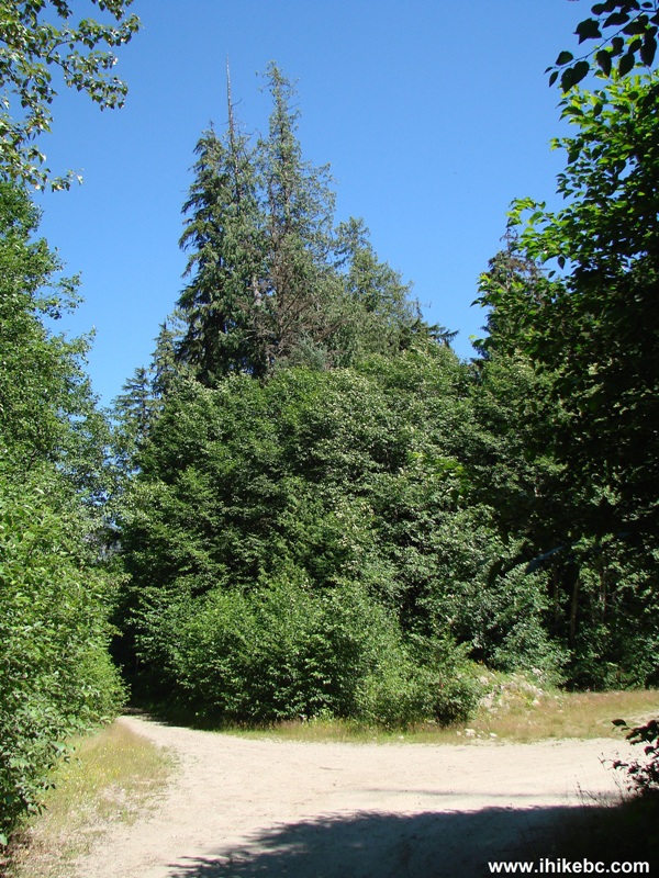
1. We are at the end of Chilliwack Lake Road (its end is right behind us), and are about to enter Chilliwack Lake FSR. The sign says Chilliwack RIVER FSR, but this FSR follows the side of Chilliwack Lake, and the Backroad Mapbook also calls it Chilliwack Lake FSR, so there we have it. The 50 km/h speed limit is strictly enforced by enormous potholes, and it is highly unlikely anyone would be able to drive faster than 30 km/h at any point. There is another large sign on the other side of the road, and it says: DAY USE ONLY! NO CAMPING! NO FIRES! NO ALCOHOL! NO ATV'S (sic) OR DIRT BIKES! For directions on getting up to this point from Highway 1, check out Chilliwack Lake Provincial Park trip report.
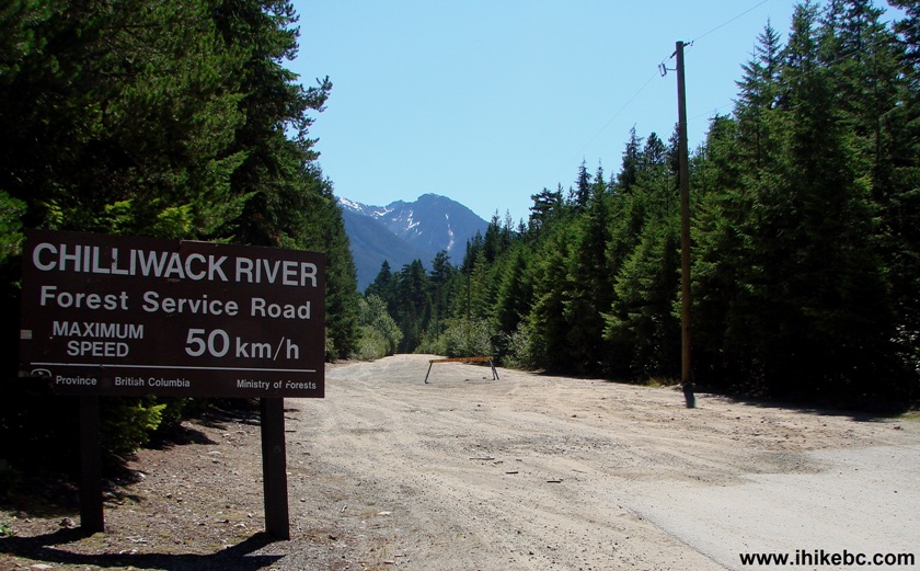
Chilliwack River Forest Service Road British Columbia Canada
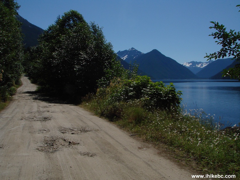
2. Chilliwack Lake Forest Service Road: the beauty and the potholes.
Chilliwack River FSR Province of BC Canada
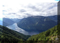
3. But the beauty prevails.
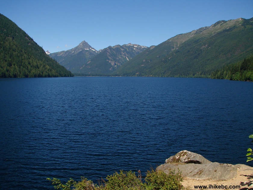
Chilliwack Lake British Columbia Canada
Here is our video of Chilliwack Lake in this approximate area:
More ihikebc videos are on our YouTube Channel.
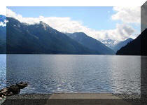
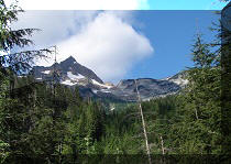
3. The most panoramic view is at the 6.4 km mark (the photo below is NOT at that mark). There are a few other good spots to check out the lake and an occasional power boat.
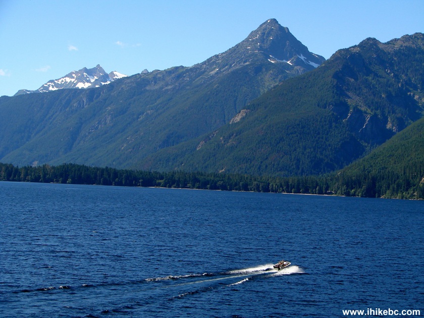
Chilliwack Lake
5. At 7.8 km, there is a split. Straight ahead is the continuation of Chilliwack Lake FSR, and, to the right, is Depot Creek FSR.
Chilliwack Lake FSR split with Depot Creek FSR
6. Chilliwack Lake FSR features a very deep cross ditch shortly after the split, so it would stop just about any vehicle.
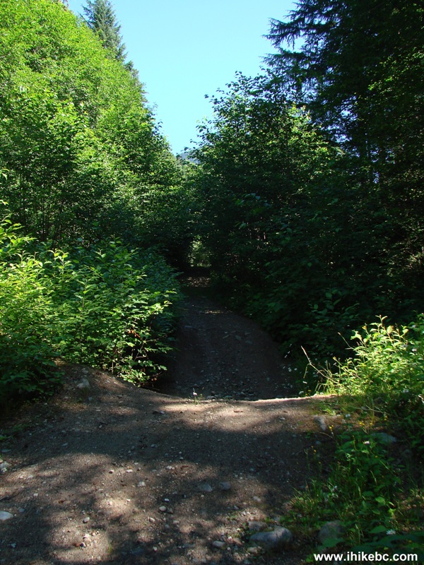
Chilliwack Lake Forest Service Road British Columbia Canada
7. There is a good picnic spot at the split. Here we see this spot, as well as Depot Creek FSR, which we took from this point on by turning to the right at the split.
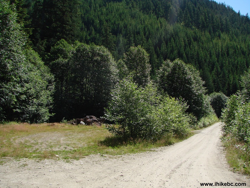
Depot Creek FSR Province of BC Canada
8. Very soon after turning onto Depot Creek FSR, the road is crossing a bridge with an impressive view to the right.
View from Depot Creek FSR near Chilliwack British Columbia Canada
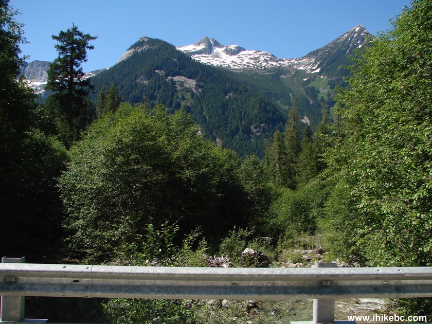
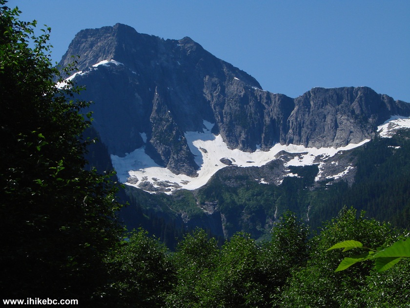
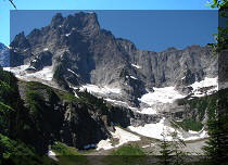
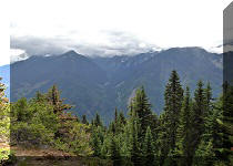
9. But then Depot Creek FSR narrows down, and the views are limited, save for this mountain.
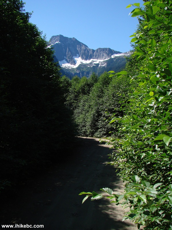
Depot Creek Forest Service Road BC Canada
10. Zooming in to check it out.
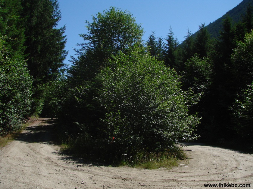
11. Slightly less than 3 km after the split with Chilliwack Lake FSR, there is another major split. Depot Creek FSR is on the right.
12. Four hundred meters later (ignore a left turn soon after the split), Depot Creek FSR ends at a blocked gate. There is sufficient space for even a large vehicle to turn around and park nearby.
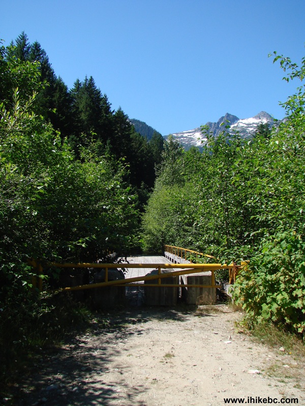
End of Depot Creek FSR
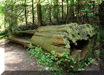
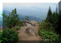
13. It's time to walk. The Backroad Mapbook shows that this is the beginning of Upper Chilliwack River Trail. There is also a "Sapper's Park" in the area, but we have found nothing of the kind.
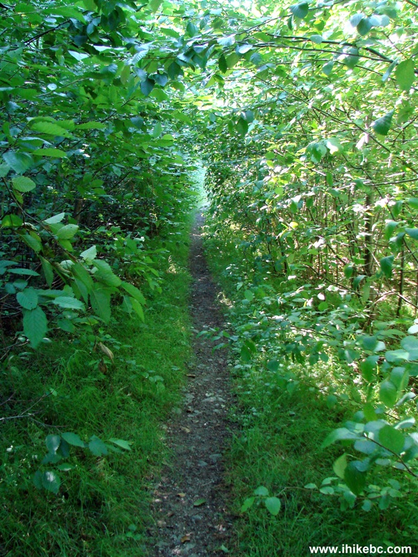
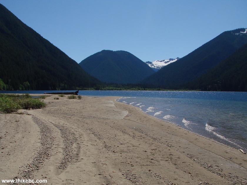
14. What we did find, however, was very nice - a foot access to the South end of Chilliwack Lake. About five minutes after crossing the blocked-off bridge, you would see this rather steep descent on the right side of the path. There is a rope there for assistance.
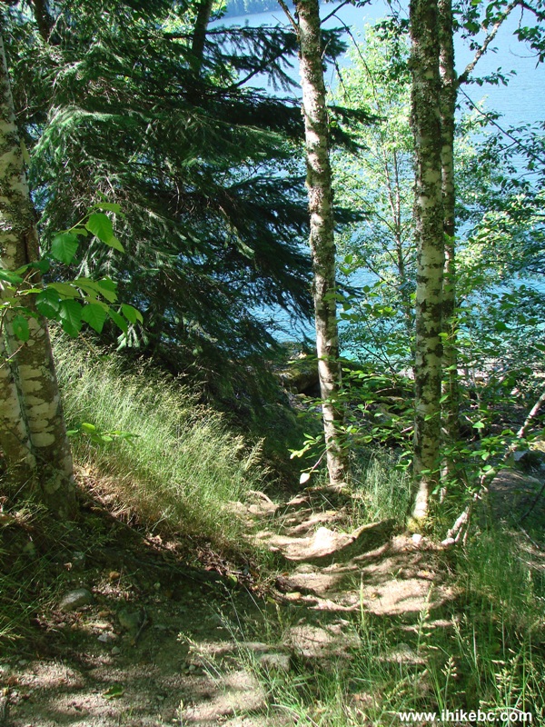
15. View from the trail before the brief descent.
Chilliwack Lake
16. Once you come down, a camping spot is right there. Some bugs were present.
Picnic Area by Chilliwack Lake British Columbia Canada
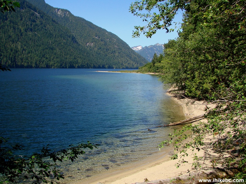
17. We then went for a walk along the lake.
Chilliwack Lake
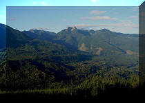
18. Looking back we see a large hill.
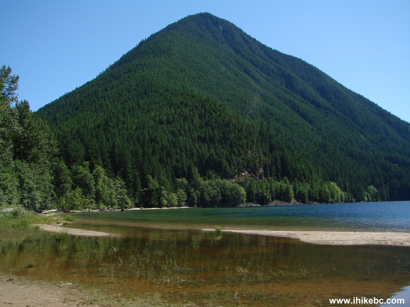
Chilliwack Lake BC Canada
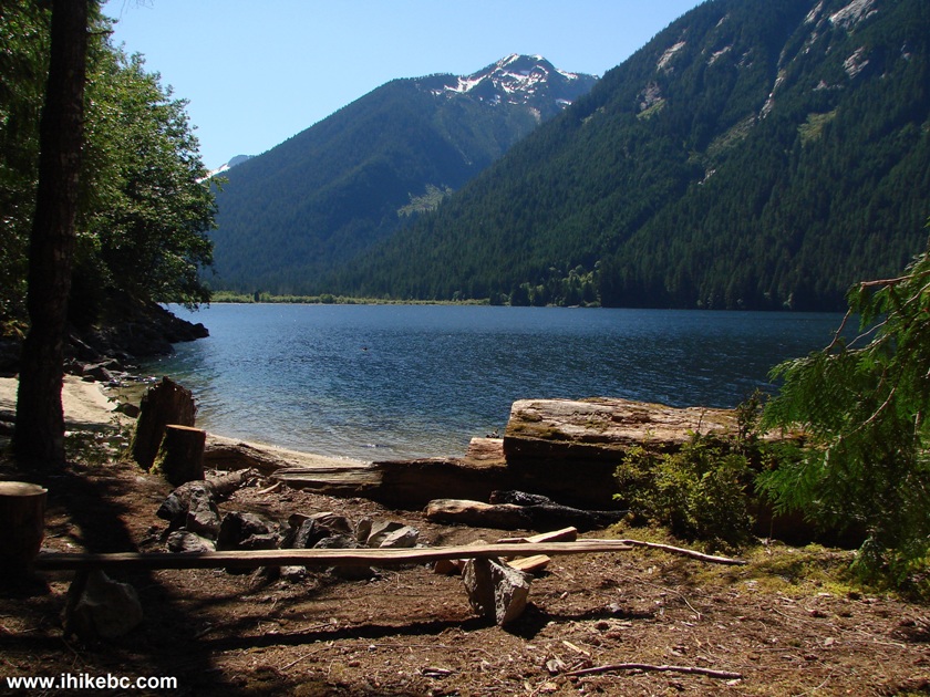
19. A bit to the right is another hill, though a smaller one.
Chilliwack Lake
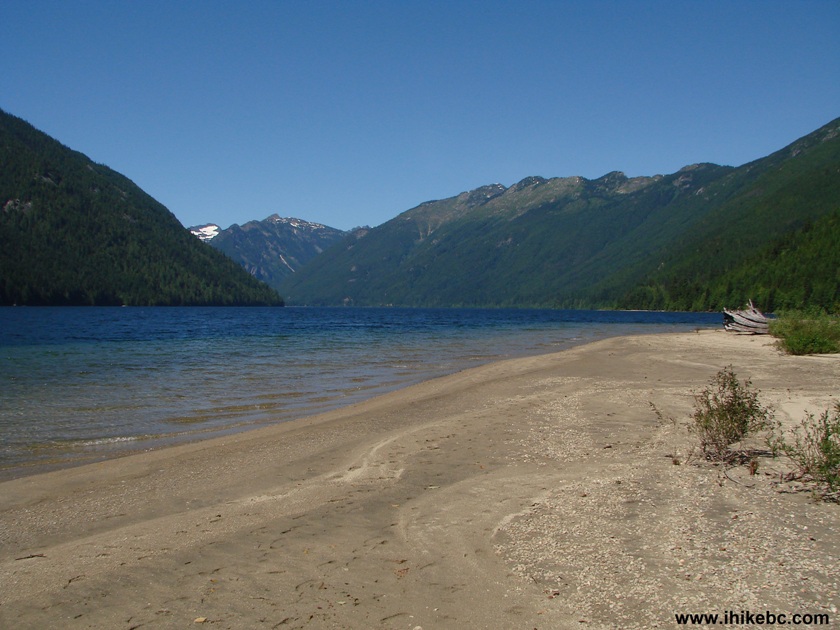
20. Now looking forward again (towards the North end of the lake, which is far away around the corner).
Chilliwack Lake
Though full of enormous potholes,
Chilliwack Lake FSR is recommended for the views and the eventual
access to the South end of Chilliwack Lake via Depot Creek FSR.
Other Trips in
Chilliwack BC Area:


Greendrop Lake Trail


Teapot Hill Trail
Vedder Rotary Trail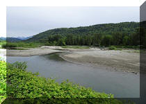
Mount Thom
Trail
Flora Lake Trail
![]()
![]()
![]()
![]()
ihikebc.com Trip 057 - Chilliwack Lake Forest Service Road (Near Chilliwack BC)