![]()
![]()
![]()

Trip 055 - August 15, 2011 (Monday)
Chilliwack Lake Provincial Park Visit
Near Chilliwack BC
Distance From Vancouver:
136.5 kilometers: 90.5 km from Vancouver
(Grandview Hwy entrance to Hwy 1 East) to Exit 119 (Yale Rd / Vedder Rd)
in Chilliwack. Then 5.5 km on Vedder Road to Chilliwack Lake Road. Then
40.5 km on Chilliwack Lake Road to Chilliwack Lake Provincial Park.
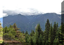
Liked: Several good views on Chilliwack Lake Road, the view of Chilliwack Lake, walking paths in the park.
Of note: No parking is allowed on Chilliwack Lake Road between 11PM - 4 AM (in residential areas). No reservations can be made at Chilliwack Lake Provincial Park. This is a popular park, which is probably quite busy on weekends, especially in the Summer.
Vancouver, Coast & Mountains Backroad Mapbook (2010 edition) Coordinates for the Park Entrance: Page 5 (Chilliwack Lake) E6.
Related Website: Chilliwack Lake Provincial Park - BC Parks Official Site.
Other Trips in or near Chilliwack Lake Provincial Park: Flora Lake Trail, Greendrop Lake Trail, Chilliwack Lake Forest Service Road, Radium Lake Trail.
Other Trips in Chilliwack Area: Williams Ridge Trail, Mount Thom Lookout Loop Trail, Vedder Rotary Loop Trail, Teapot Hill Trail Hike, Chilliwack Dyke Trail, Mount Cheam Peak Trail, Ling Lake Trail Hike (off Chilliwack Foley FSR), Chilliwack Foley FSR, Chilliwack Bench FSR, Elk-Thurston Trail, Slesse Memorial Trail, Downtown Chilliwack BC Visit, Minter Gardens, Town of Agassiz BC, Bridal Veil Falls Provincial Park.
Follow @ihikebc TweetChilliwack Lake Provincial Park has many campsites for $18 per night, though no reservations are accepted. This trip report shows how to get there, and some of the things we saw while walking en route to Radium Lake Trailhead, also located in this park.
1a. The directions to Chilliwack Lake Provincial Park from Vancouver are as follows. Take Highway 1 East. Here we are driving on Highway 1 past Abbotsford.
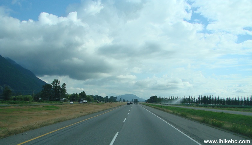
TransCanada Highway 1 near Chilliwack British Columbia
1b. Approaching Exit 119 - Yale Road/Vedder Road.
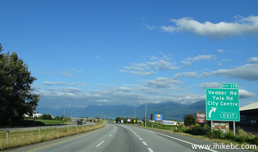
TransCanada Highway 1 Eastbound in Chilliwack British Columbia - August
2020 photo
2. Take Exit 119. Turning left would lead to downtown Chilliwack. But we need to turn right onto Vedder Road.
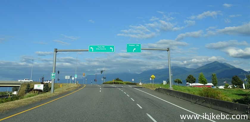
Highway 1 Exit 119 in Chilliwack BC Canada - August 2020 photo
3. Cottonwood Mall is located to your right once you turn onto Vedder Road. It is a good place to get supplies, including food, as there is a Safeway and Save-on-Foods there. We are now driving on Vedder Road in Chilliwack.
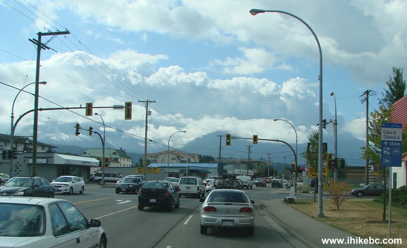
Vedder Road Chilliwack BC
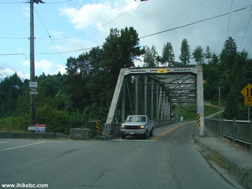
4. Five and a half kilometers later you would see a bridge ahead.
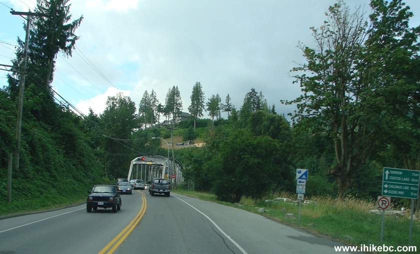
Vedder Road Chilliwack British Columbia Canada
5a. Driving straight onto the bridge would lead to Columbia Valley (Cultus Lake). But, to get to Chilliwack Lake Provincial Park, you need to turn left in front of the bridge onto Chilliwack Lake Road.
5b. June of 2019 Update: there is now a roundabout at this location - take the second exit to Chilliwack Lake Road.
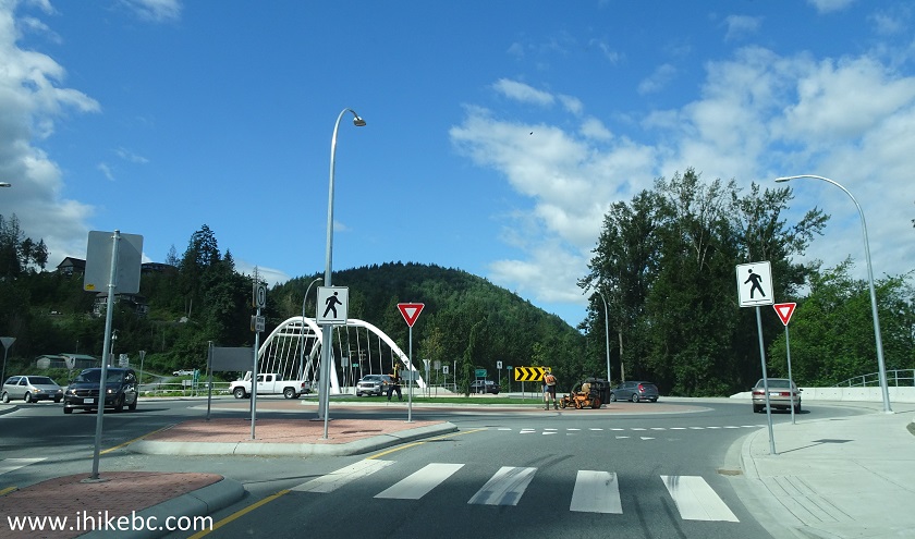
Vedder Road at Chilliwack Lake Road
6. And then it's a 40.5 kilometer drive on Chilliwack Lake Road until the park entrance. Parking is prohibited on this road in the residential area between 11 PM and 4 AM. Once the residential area and its 60 km/h hour speed limit end, 80 km/h speed limit comes into effect. There are several campgrounds and recreational areas along Chilliwack Lake Road (Thompson Park, Slesse Park, Tamihi Creek, Thurston Meadows, Riverside). So, if Chilliwack Lake Provincial Park has no spaces when you get there, you can turn around and see if you can find a space in one of the campgrounds along Chilliwack Lake Road. Also, there are several forest service roads branching off Chilliwack Lake Road. You may be able to find a good camping spot there too, but make sure your vehicle is capable of driving on those roads, as some of them could be very steep and rough.
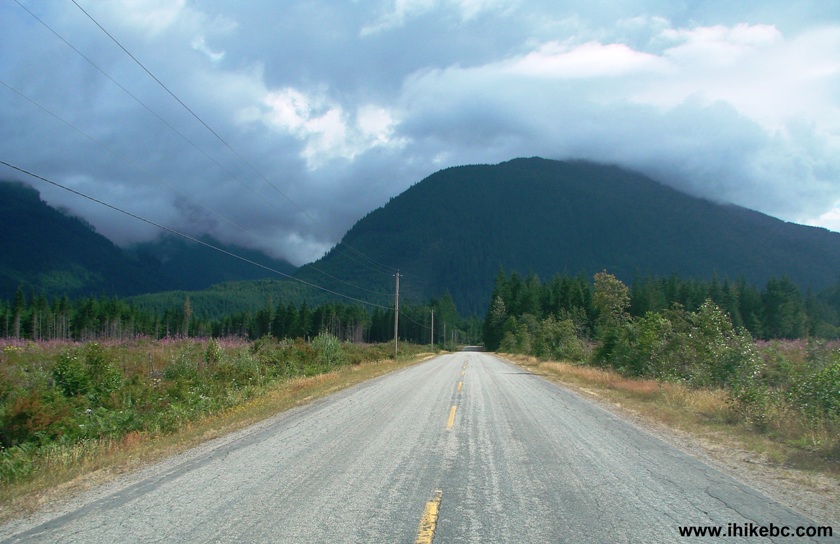
Chilliwack Lake Road Province of BC Canada
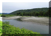
7. We are now at the end of Chilliwack Lake Road. Straight ahead is Chilliwack Lake Forest Service Road (day use only is permitted, with no overnight camping). To the right is the entrance to Chilliwack Lake Provincial Park. A few hundred meters behind us and to the left is a parking lot for the Greendrop Lake / Flora Lake trailheads.
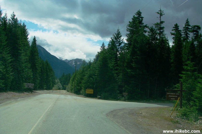
Chilliwack Lake Road end
8. We turned to the right and are now at the park entrance.
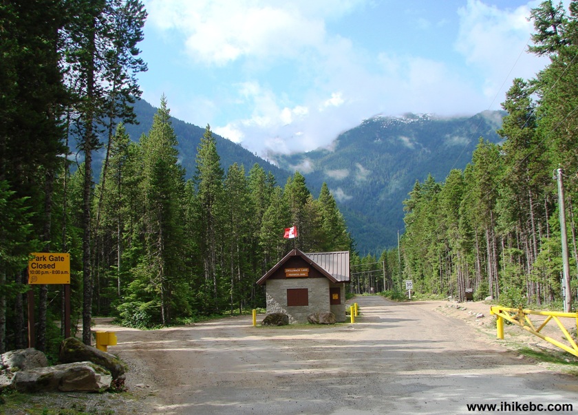
Entrance to Chilliwack Lake Provincial Park
9. Drive a bit further and arrive to the information board.
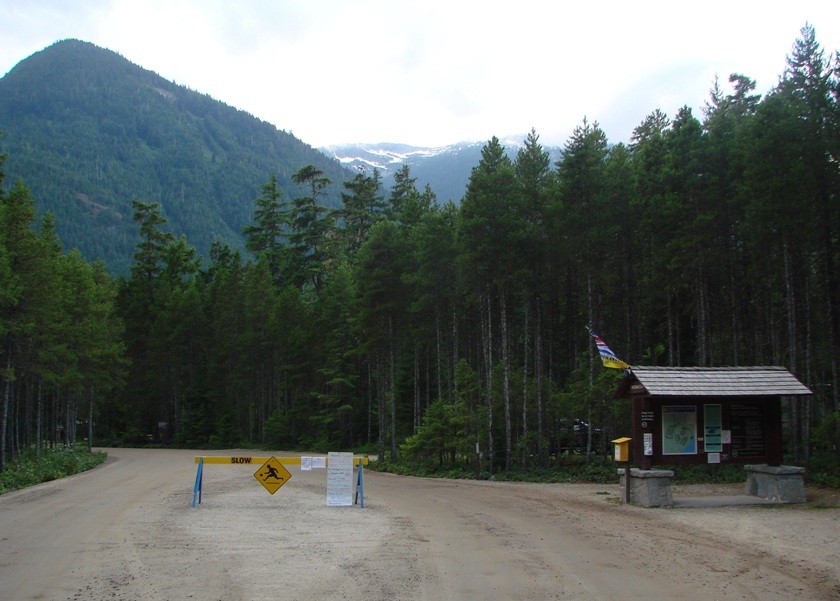
Chilliwack Lake Provincial Park British Columbia Canada
10. The board explains the rules, as well as provides the park map.
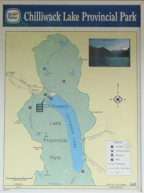
Map of Chilliwack Lake Provincial Park
11. Here are the rules of the land. Harsh but fair.
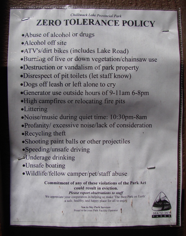
Chilliwack Lake Provincial Park Rules
12. Since we came not to camp, but to hike Radium Lake Trail, we drove to the day use lot. If you leave before the end of the day, there is no charge for parking at the day lot. The vehicles with boat trailers need to park on the left, and single vehicles are required to parallel park on the right side.
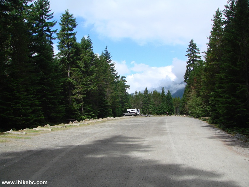
Chilliwack Lake Provincial Park Day Use Lot
13. So, what can you do at Chilliwack Lake Provincial Park, aside from camping and swimming in a fairly cold lake?
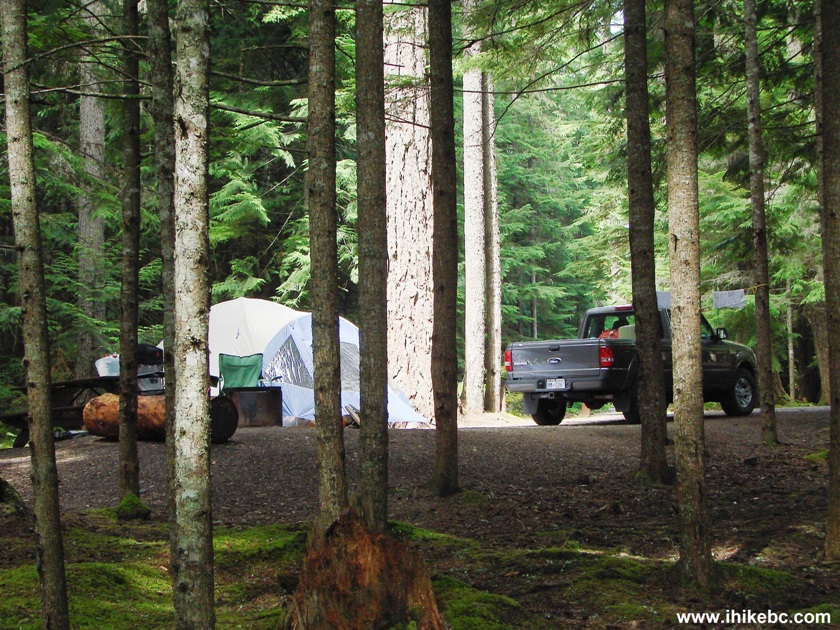
Photo of
Camping at Chilliwack Lake Provincial Park
14. You can play volleyball...
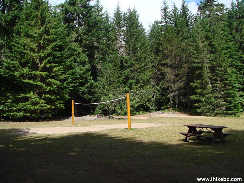
Volleyball Net Chilliwack Lake Provincial Park British Columbia Canada
15...have a picnic...
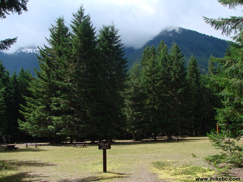
Chilliwack Lake Provincial Park Picnic Area
16...launch a boat...
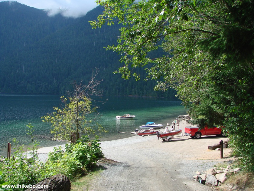
Chilliwack Lake Provincial Park Boat Launch Area
17...enjoy the lake view...
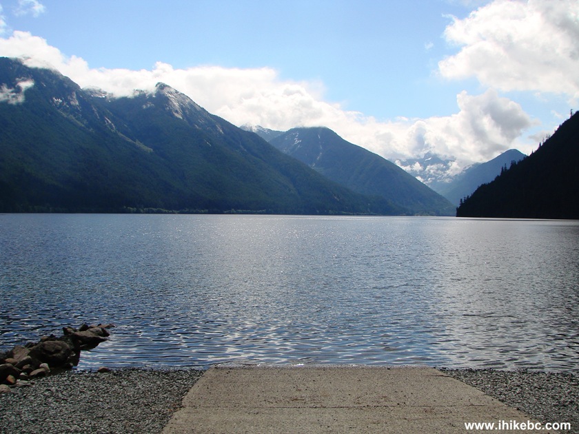
Chilliwack Lake Province of British Columbia Canada
18...or walk several short but quite pleasant trails. To get to a much longer Radium Lake Trail, walk South on Beach Trail and then Nature Trail. If you don't have a compass, South is along the lake, keeping it on your left side. This is the intersection of Beach Trail (which you can take from the day parking lot) and Nature Trail (which leads to Radium Lake trailhead).
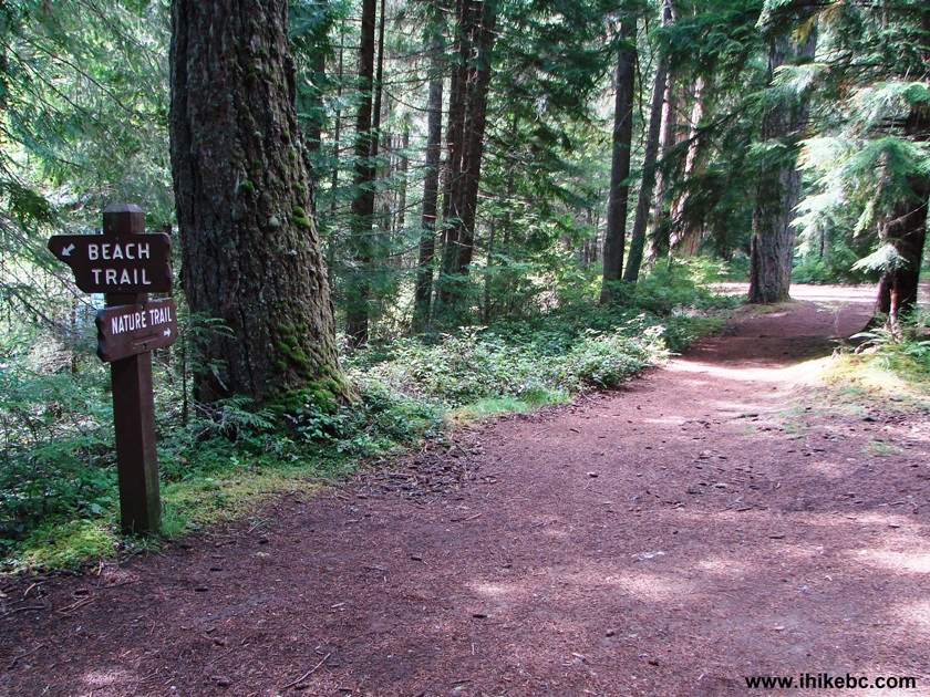
Nature Trail at Beach Trail Chilliwack Lake Provincial Park
19. Here we are walking on Nature Trail after its split with Beach Trail. In a few minutes, you would come to a T-Junction, where you would need to turn left. Just remember to walk South by keeping the lake on your left side.
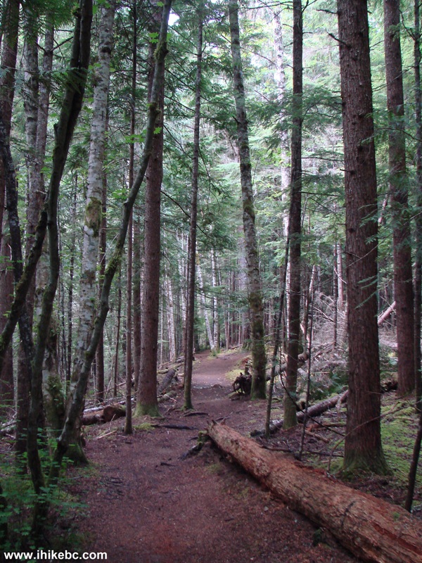
Nature Trail Chilliwack Lake Provincial Park Province of BC Canada
20. After the T-Junction, there would be another junction, but from that last junction you should be able to already see the bridge pictured below. Crossing this bridge would lead to Radium Lake Trailhead.
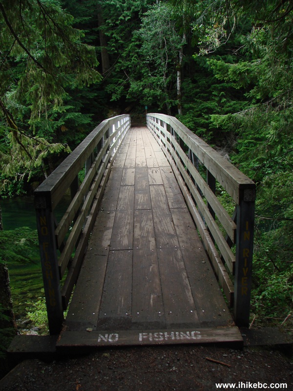
Bridge in Chilliwack Lake Provincial Park British Columbia Canada
Chilliwack Lake Road is a good road to drive, and Chilliwack Lake Provincial Park looks like a nice place to visit. The next trip report describes our Radium Lake Trail Hike.


|
 |
Other Trips in Chilliwack BC Area:
|
|
|
|
|
|
|
|
|
|
|
|
|
|
|
|
|
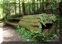
Greendrop Lake Trail
|
|
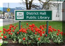
Teapot Hill Trail
|
|
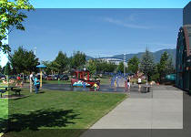
Vedder Rotary Trail
|
|
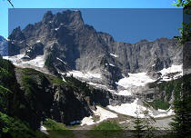
Mount Thom Trail
|
|
Flora Lake Trail  |


![]()
![]()
![]()
ihikebc.com Trip 055 - Chilliwack Lake Provincial Park Visit (Near Chilliwack BC)