![]()
![]()
![]()

Trip 292 - August 11, 2023 (Friday)
Flora Lake Trail Hike
Chilliwack Lake Provincial Park near Chilliwack, BC
Page 1 of 2
Liked: Views of Chilliwack Lake and surrounding mountains, Flora Lake, shade in the forest, several fine forest scenes, very few bugs.
Of Note: Moderately difficult trail (to Flora Lake), uneven ground, rocks and roots, hiking poles are recommended. Flora Lake loop (should you choose to hike it) is substantially more difficult due to five boulder fields – hiking poles and boots are essential.
Vancouver, Coast & Mountains Backroad Mapbook (2019 edition) Trailhead Coordinates: Page 5 (Chilliwack Lake) F5.
103 Hikes in Southwestern British Columbia (2008 edition): hike #75.
Related Website: Chilliwack Lake Provincial Park - BC Parks Official Site.
Other Trips in or near Chilliwack Lake Provincial Park: Greendrop Lake Trail, Chilliwack Lake Forest Service Road, Radium Lake Trail, Chilliwack Lake Provincial Park.
Other Trips in Chilliwack Area: Williams Ridge Trail, Mount Thom Lookout Loop Trail, Vedder Rotary Loop Trail, Teapot Hill Trail Hike, Chilliwack Dyke Trail, Mount Cheam Peak Trail, Ling Lake Trail Hike (off Chilliwack Foley FSR), Chilliwack Foley FSR, Chilliwack Bench FSR, Elk-Thurston Trail, Slesse Memorial Trail, Downtown Chilliwack BC Visit, Minter Gardens, Town of Agassiz BC, Bridal Veil Falls Provincial Park.
Follow @ihikebc TweetFlora Lake Trail is located near Chilliwack Lake Provincial Park at the end of Chilliwack Lake Road, 40 km from Chilliwack, and shares the parking lot and the trailhead with a much more popular Lindeman Lake / Greendrop Lake Trail. Thus, if you are interested in a less crowded camping experience, head to Flora Lake, and, chances are, you'll get one. There are two tent pads there, a bear cache, and even an open air toilet.
In addition to camping by Flora Lake, the main attraction of this trail are excellent views of Chilliwack Lake and the surrounding mountains. As Flora Lake Trail is substantially more challenging (and longer) than Lindeman/Greendrop hike, it is also much less crowded.
After the initial climb with views of Chilliwack Lake, the trail drops to Flora Lake. To get back you can either retrace your steps, or, if you are ready for more challenging hiking with five rather uncomplicated (but, nonetheless) boulder fields to cross, complete the loop by taking a connector trail to Lindeman/Greendrop Trail, and then take that trail back to the parking lot.
As Flora Lake is hardly "spectacular," unless you want to camp there or simply a fan of hiking (or want to visit Greendrop and Lindeman lakes for one big hike as opposed to two smaller ones), getting to the best Chilliwack Lake views and heading back will save you a lot of time. It is about 4 km to Chilliwack Lake views, then 3 more km to Flora Lake, then either 7 km back to the parking lot the same way you came, or close to 10 km to the parking lot via the loop trail.
* All hiking distances are based on a GPS odometer and are approximate.
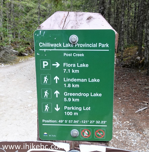
1. Here is a Google Maps location of the parking lot in the Chilliwack Lake Provincial Park for Flora Lake and Lindeman Lake / Greendrop Lake trails.
2-3. We are 100 meters from the parking lot, at the split where going straight is the continuation of Lindeman Lake / Greendrop Lake Trail, and to the right is the beginning of Flora Lake Trail. For directions on getting up to this point from Chilliwack, check out our Greendrop Lake Trail Hike trip report. The photo below is at the same spot as photo #11 of that trip report.
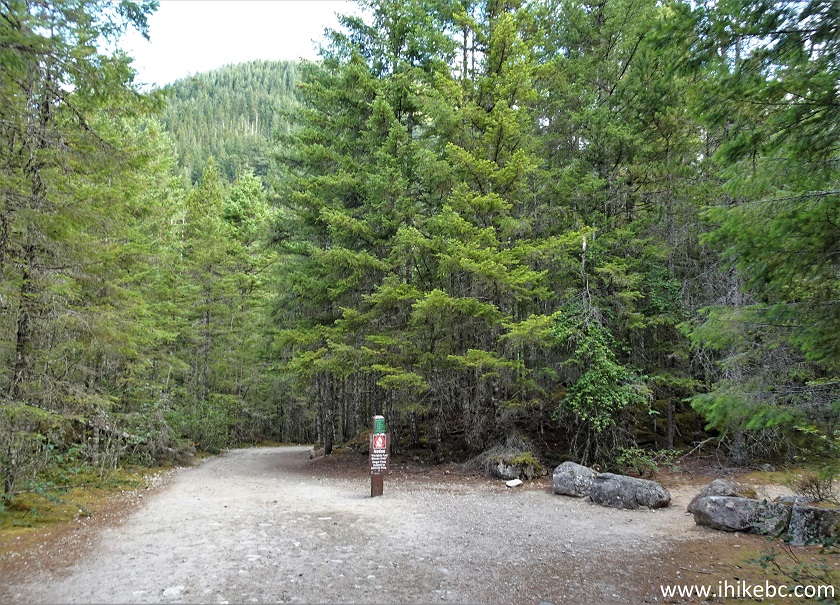
Flora Lake Trailhead
4. Here is the trailhead.
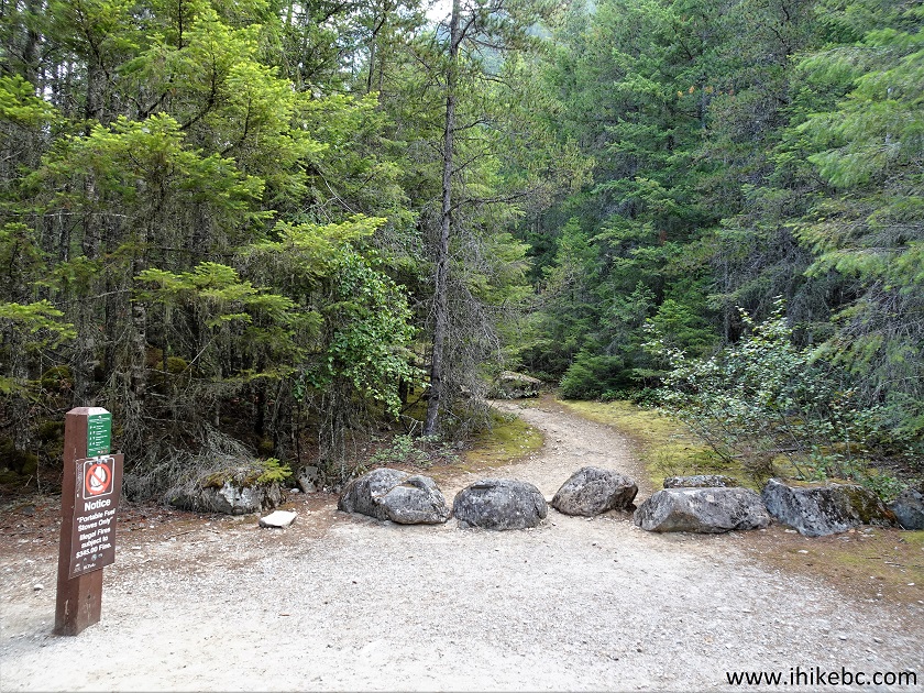
Chilliwack Lake Provincial Park Flora Lake Trailhead
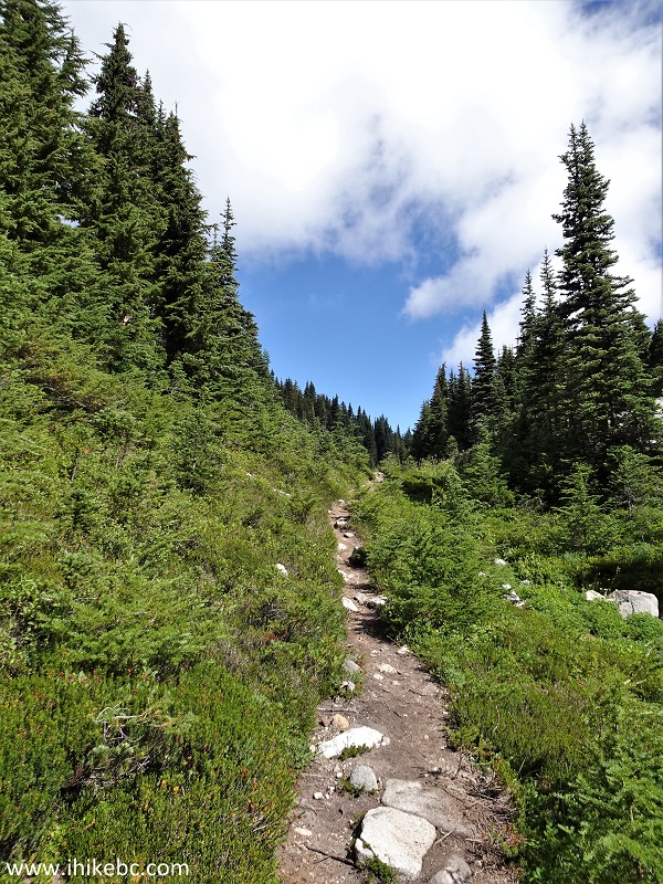
5. Flora Lake Trail begins.
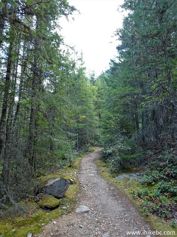
Flora Lake Trail
6. Fairly easy at first. At 280 meters here.
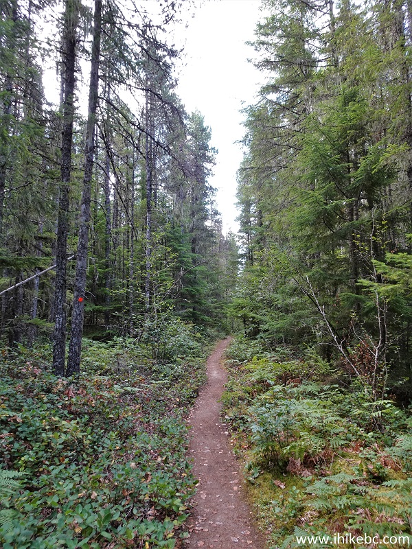
Hike in Chilliwack Area - Flora Lake Trail
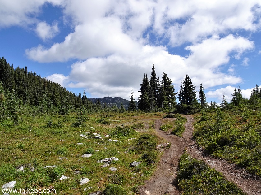
7. At 350 meters, there is a split. Turn left.
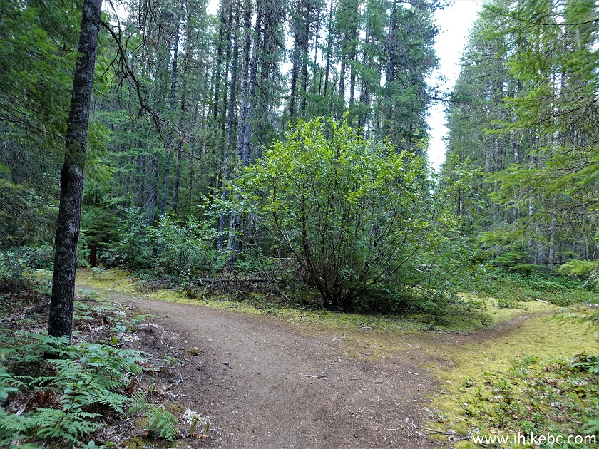
Chilliwack Hiking Flora Lake Trail
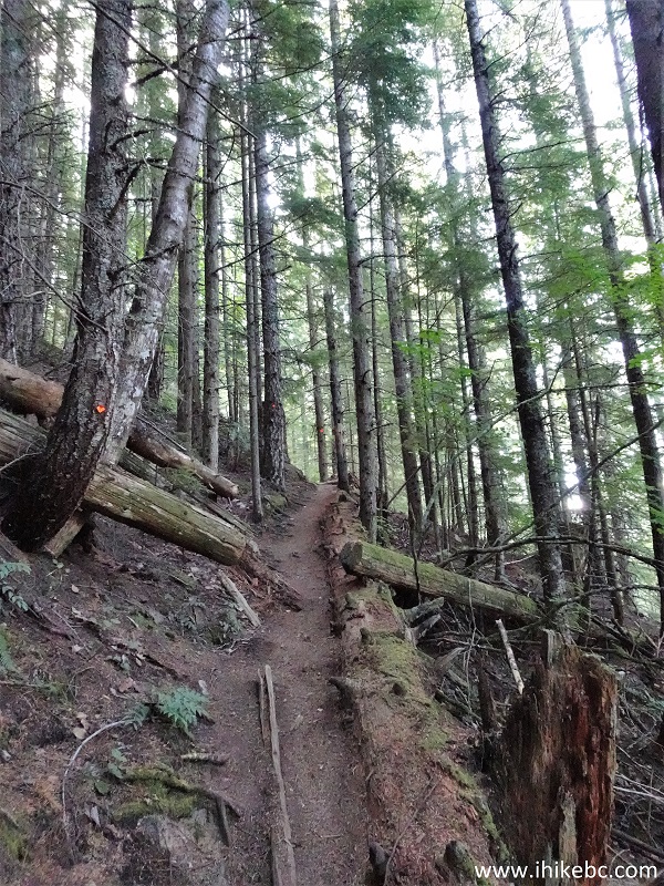
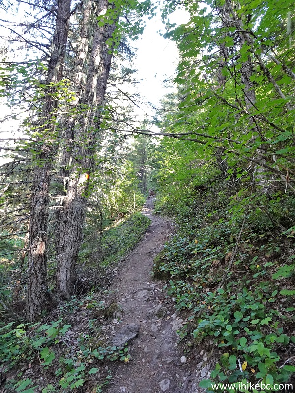
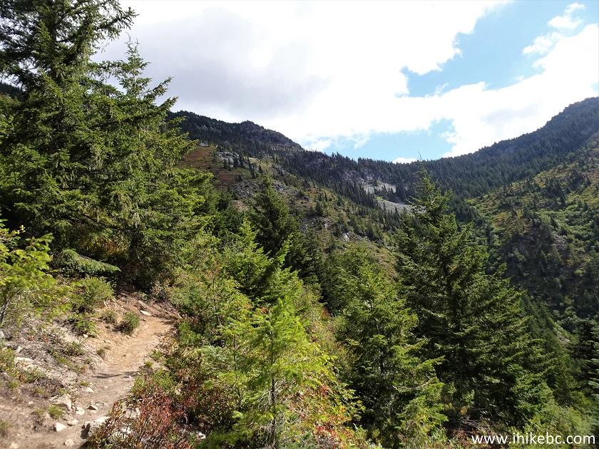
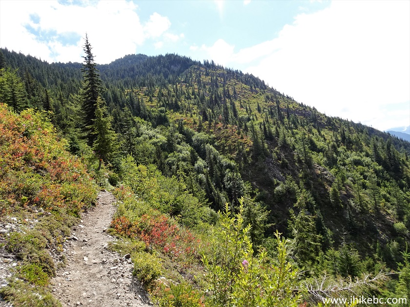
8. At 700 meters, Flora Lake Trail is already steeper. It remains moderately steep for a while.
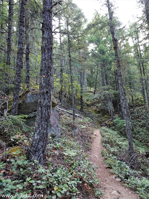
Flora Lake Hike
9. Some stones at the 860 meter mark of the trail.
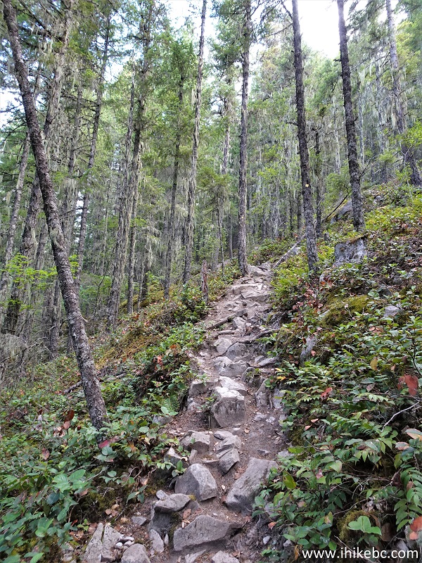
Flora Lake Trail in Chilliwack Lake Provincial Park
10. Now at 1.45 km from the trailhead. Steady elevation gain.
Flora Lake Trail Hike in British Columbia Canada
11. At 2.3 km, there is a trail marker with "2.3 km camp" written on it. It is a rather small level area. Perhaps, a good place to camp for those on a short hike.
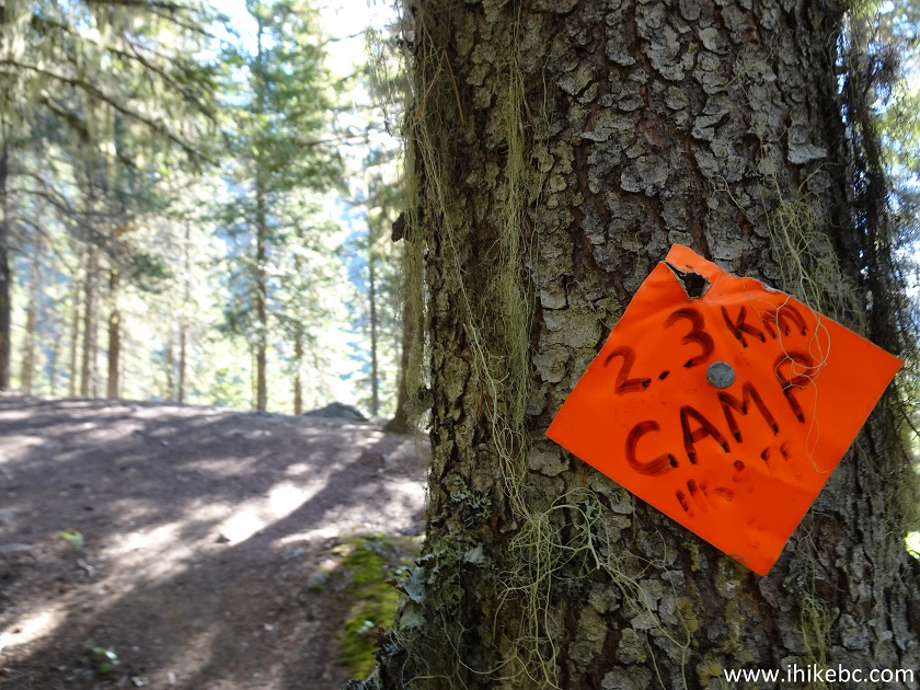
Flora Lake Hike near Chilliwack BC Canada
12. This is where the first Chilliwack Lake view appears as well. Plain and zoomed.
13. The trail is much the same after the camp. At 2.74 km now.
Hiking Flora Lake Trail
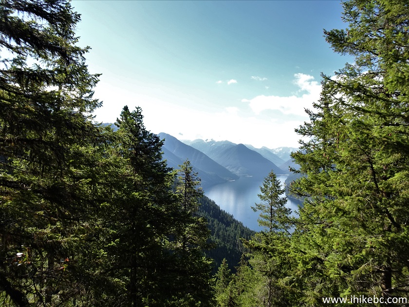
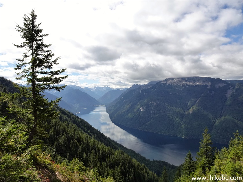
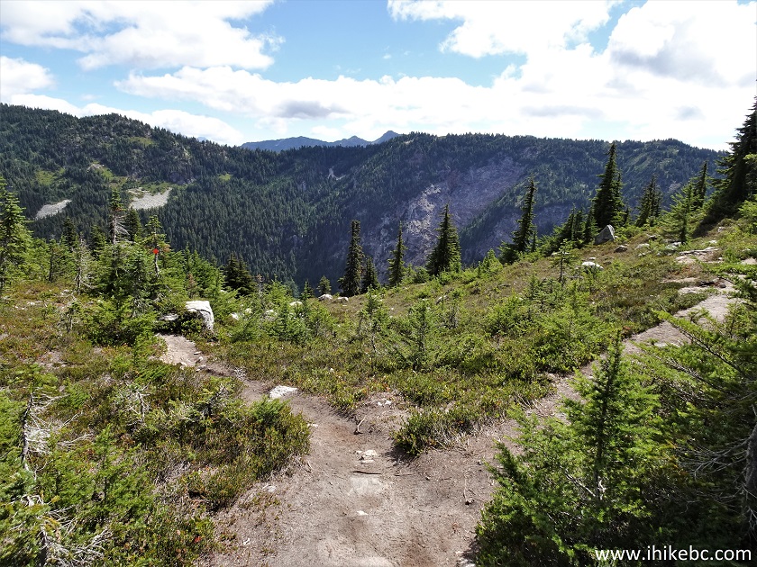
14-16. At around the 4 km mark, great Chilliwack Lake views start arriving one after another. At first, they are obstructed to some degree, but then it gets better and better. Here is a view at the 4.04 km mark. Plain and zoomed.
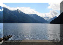
Chilliwack Lake View from Flora Lake Provincial Park
Chilliwack Lake
17. Flora Lake Trail (on the left side) 4.10 km from the trailhead.
Trail in Chilliwack Area - Flora Lake Hike
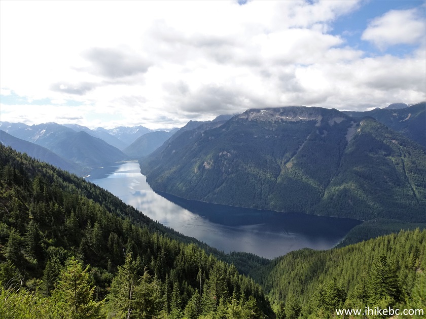
18-20. Chilliwack Lake view at 4.13 km. Plain and zoomed.
Chilliwack Lake British Columbia Canada
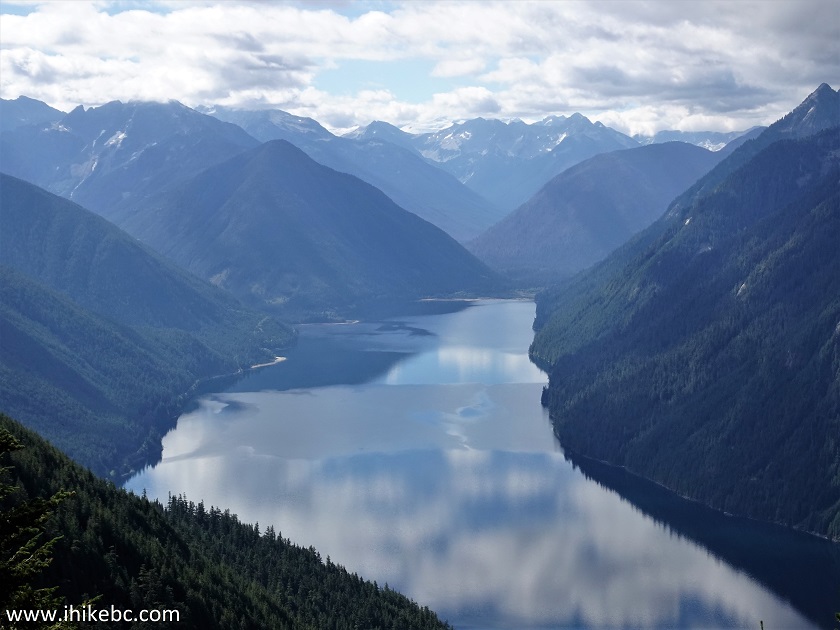
Chilliwack Lake
British Columbia Chilliwack Lake
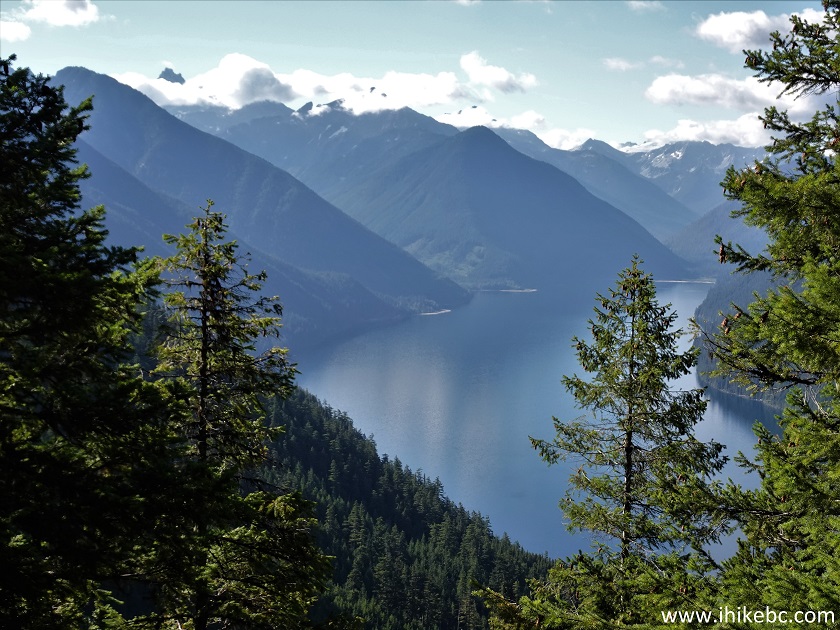
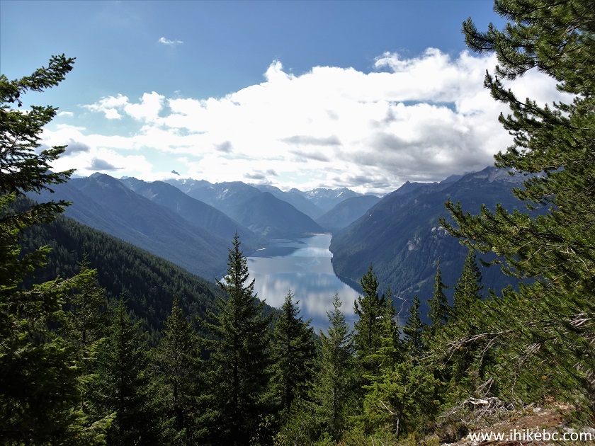
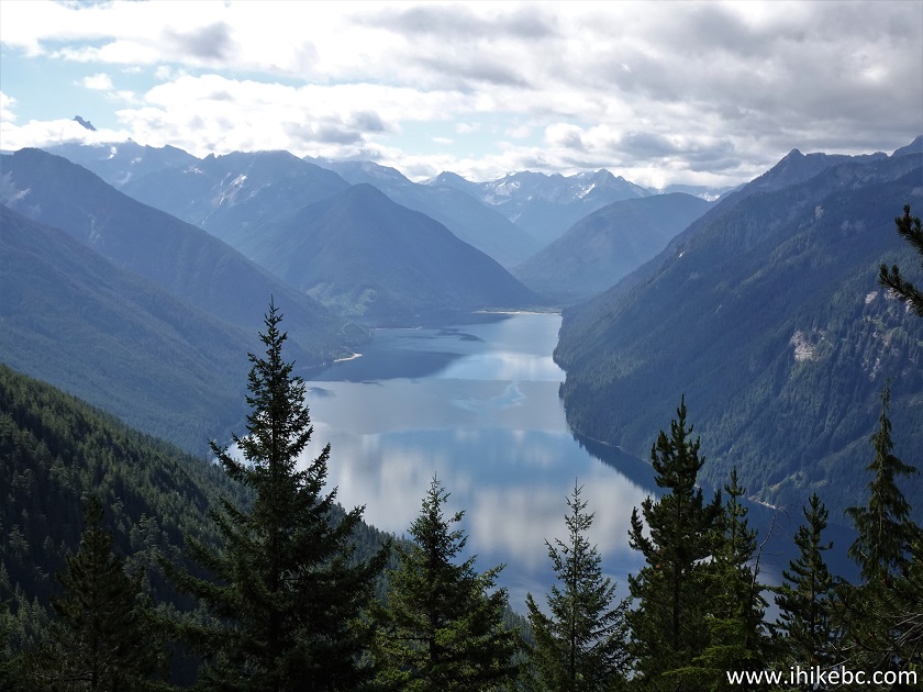
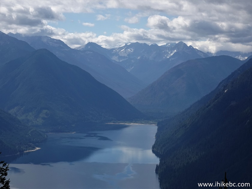
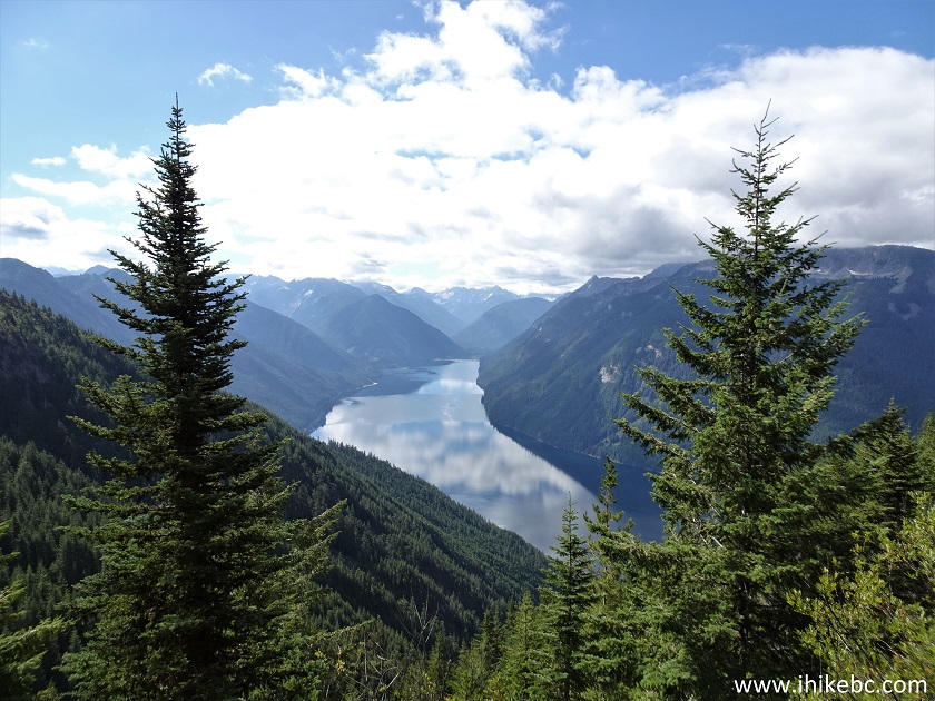
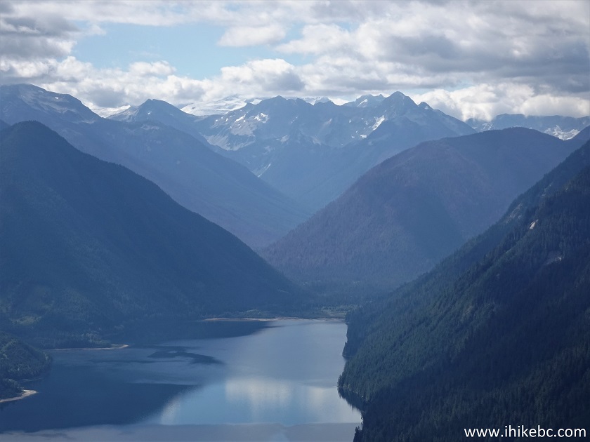
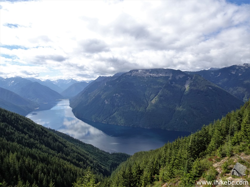
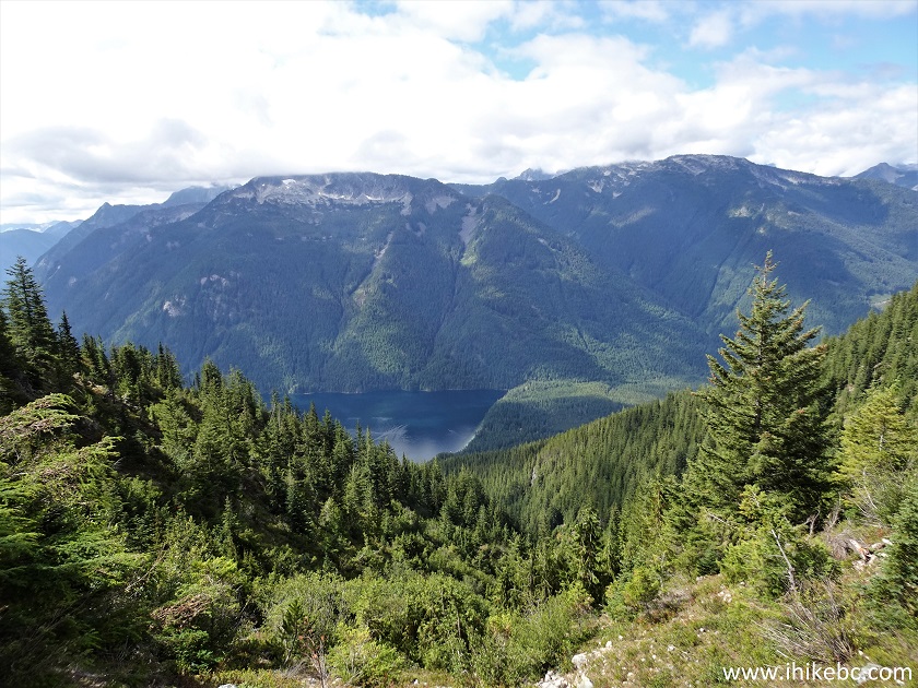
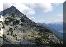
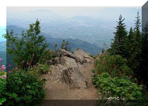
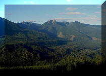
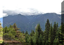
21-23. One of the best views arrives at the 4.17 km mark of Flora Lake Trail. Coordinates: N 49⁰06.457’ W 121⁰26.276’. Elevation: 1,480 meters. Plain, zoomed, and then a zoomed view of the mountains on the far end of Chilliwack Lake.
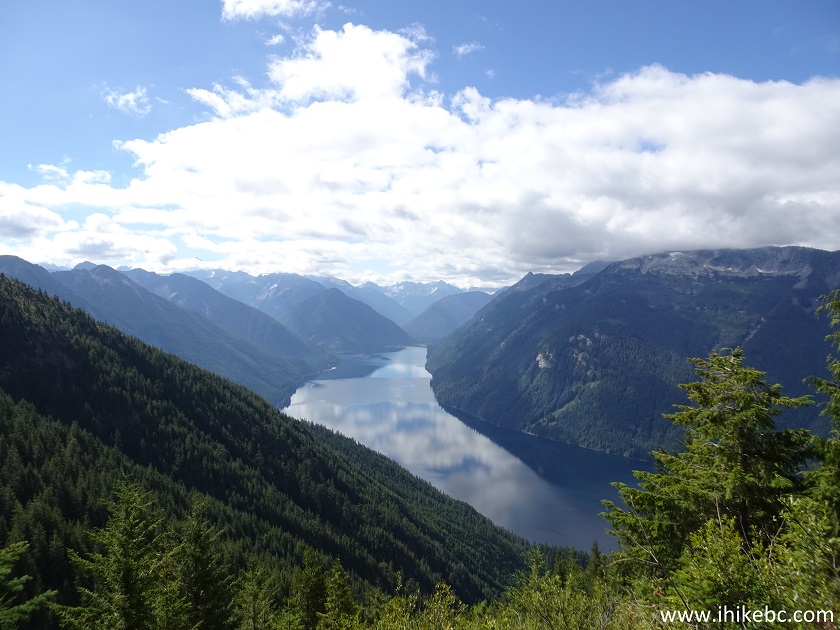
Chilliwack Lake view from Flora Lake Trail
Chilliwack Lake
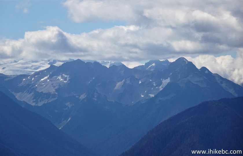
British Columbia Mountains
Here is our video of the views from this location.
More ihikebc videos are on our YouTube Channel.
24. Now at the 4.24 km mark of Flora Lake Trail, seen again on the left side.
Flora Lake Hike in Chilliwack BC Canada
25. And this view is at 4.29 km.
Chilliwack Lake BC Canada
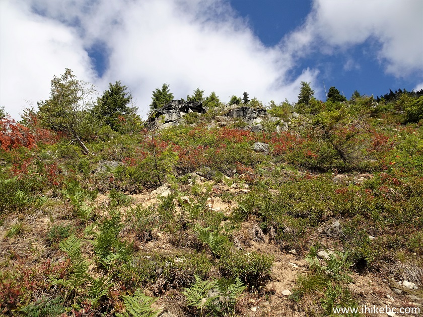
26. Very fine colours. Looking left.
British Columbia Outdoors
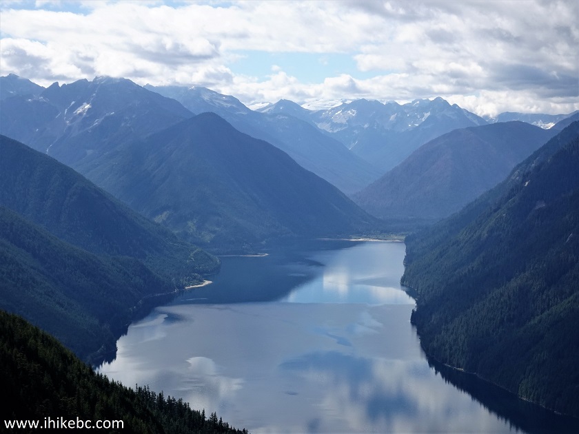
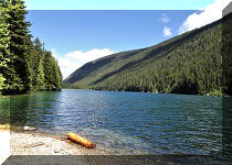
27-28. Chilliwack Lake at 4.42 km and 4.43 km of Flora Lake Trail.
Chilliwack Lake Province of British Columbia
Chilliwack Lake
28. Flora Lake Trail continues. At 4.48 km here.
Flora Lake Trail British Columbia
29. At 4.57 km, Chilliwack Lake is starting to hide.
Flora Lake Trail View
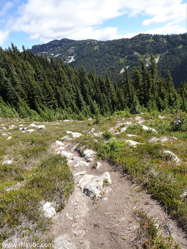
30. The trail continues towards Flora Lake. At the 4.82 km mark here.
Hiking in Chilliwack Area - Flora Lake Trail
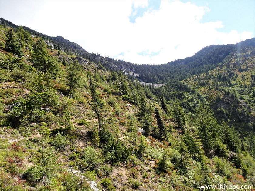
31. At 5.15 km, the trail is back in the woods and is moderately steep one more time.
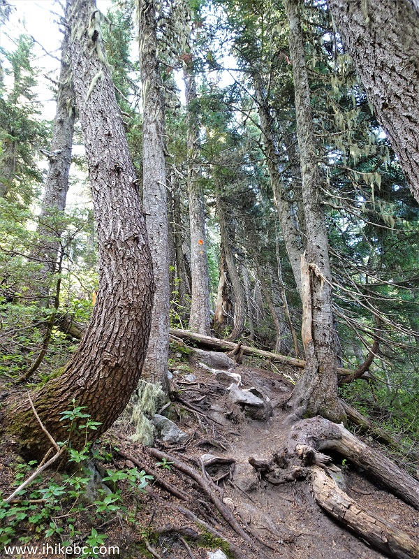
Flora Lake Hike British Columbia
32. Out of the woods by 5.40 km.
Hiking Flora Lake Trail
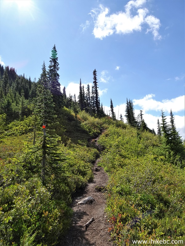
33. Flora Lake Trail opens up for a brief stretch at the 5.51 km mark.
Flora Lake Trail in Chilliwack British Columbia Area
34. And, at 5.54 km, there is a split. The main trail continues on the left side. To the right is, apparently, a fairly short trail to a viewpoint, but we did not go there.
Flora Lake Trail in Chilliwack Lake Provincial Park
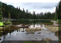
35. Right after the split a long descent to Flora Lake begins.
Chilliwack Lake Provincial Park
Our Flora Lake Trail Hike trip report Continues on Page 2.


|
 |
Other Trips in Chilliwack BC Area:
|
|
|
|
|
|
|
|
|
|
|
|
|
|
|
|
|
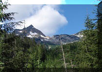
Greendrop Lake Trail
|
|
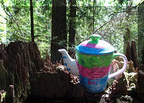
Teapot Hill Trail
|
|
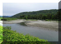
Vedder Rotary Trail
|
|
Mount Thom Trail
|
|
|


![]()
![]()
![]()
ihikebc.com Trip 292 - Flora Lake Trail Hike (Near Chilliwack, BC) Page 1 of 2