![]()
![]()
![]()

Trip 110 - July 1, 2016 (Friday)
The Stone Corral Trail Hike
Monkman Provincial Park by Tumbler Ridge BC
Happy Birthday, Canada!
Trailhead Location:
Northeastern British
Columbia, approximately 61 kilometers Southeast of Tumbler Ridge, near
the end of Murray River Forest Service Road.
Liked: Stone Corral (lake), mountain views, various natural views, the upper part of the trail is a loop.
Of note: The trail is overgrown in some places, some steep parts, hiking poles and boots are highly recommended, both caves are tiny and look substantially more appealing from outside than inside.
Northern BC Backroad Mapbook (3rd edition) Trailhead Coordinates: Page 44 (Tumbler Ridge) B6.
Related Websites: Monkman Provincial Park - BC Parks.
Other Trips off Murray River FSR: Nesbitt's Knee Falls, Monkman Falls Hike, Barbour Falls Trail Hike, Kinuseo Falls.
>>> British Columbia Waterfalls Visits.
Stone Corral Trail is located in Monkman Provincial Park off Murray River Forest Service Road near Tumbler Ridge. It's only a few kilometers away from Kinuseo Falls, but hardly gets any visitors, compared to its much more famous fellow natural attraction. And it's a shame, because Stone Corral has some very neat views, as well as two tiny caves, which just might thrill the kids.
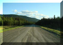
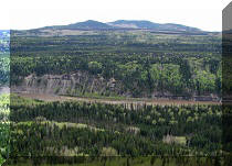
1. We are driving on Murray River FSR towards the Stone Corral Trail. For directions on how to get to Murray River Forest Service Road, check out our Kinuseo Falls Visit trip report.
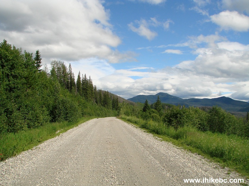
Murray River Forest Service Road by Tumbler Ridge British Columbia
Canada
2. The trailhead is located on the left side of Murray River FSR, 48 kilometers after the turnoff from Highway 52. Coordinates: N 54⁰46.253' W 121⁰10.318'. Elevation: 865 meters. If you have reached Kinuseo Falls turnoff, you have gone 1.7 km too far. Here is the turnoff to the Stone Corral Trail. A much less impressive Jade Falls / Jade Lake Trail is located across Murray River FSR from the Stone Corral trailhead.
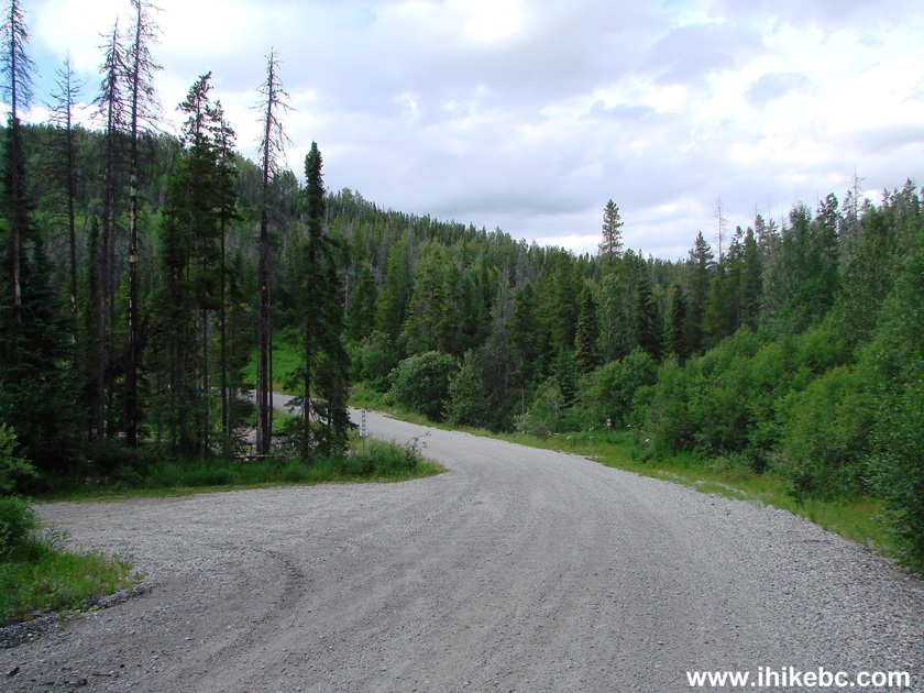
Murray FSR at the Stone Corral trailhead turnoff
3. Here is the view immediately after you turn left. A pit toilet is available behind the trees.
Tumbler Ridge Trail -
The Stone Corral trailhead
4. The map of the trail. The trailhead is on the upper right side of the map.
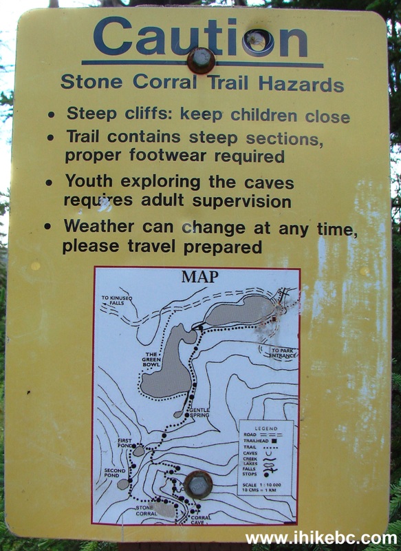
The Stone Corral trail map and hazards
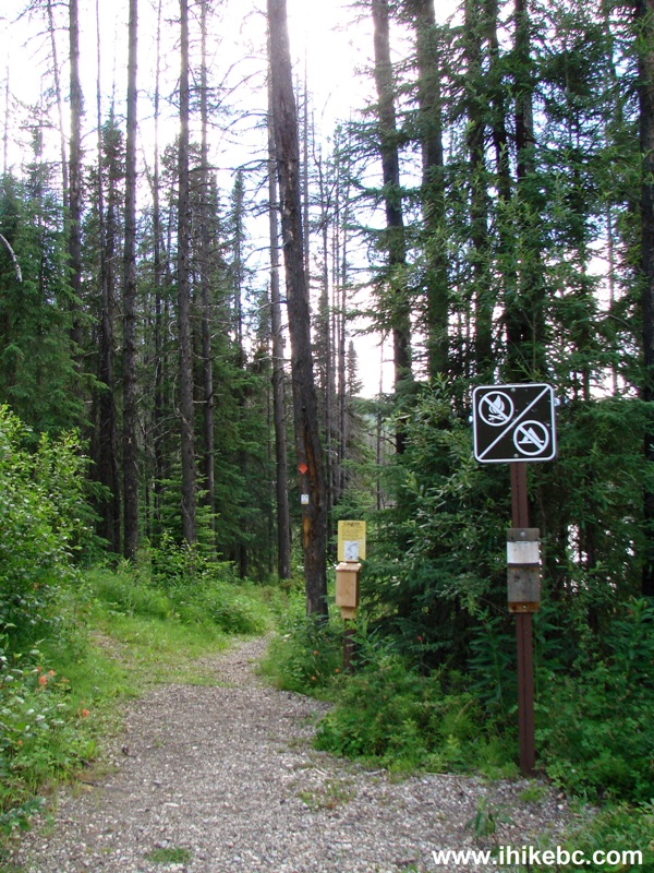
5. Off we go.
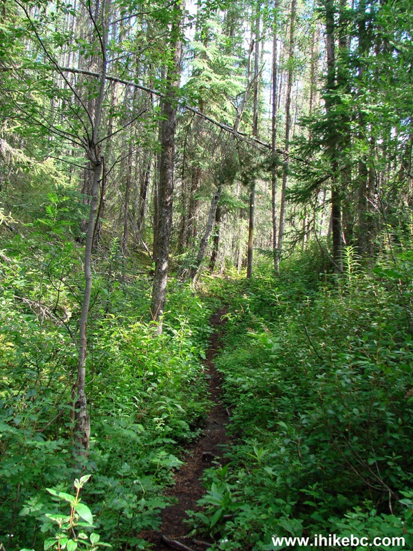
The Stone Corral Trail off Murray River FSR - Tumbler Ridge Hike BC Canada
6. Fifteen minutes later, we are at a neat marshy lake.
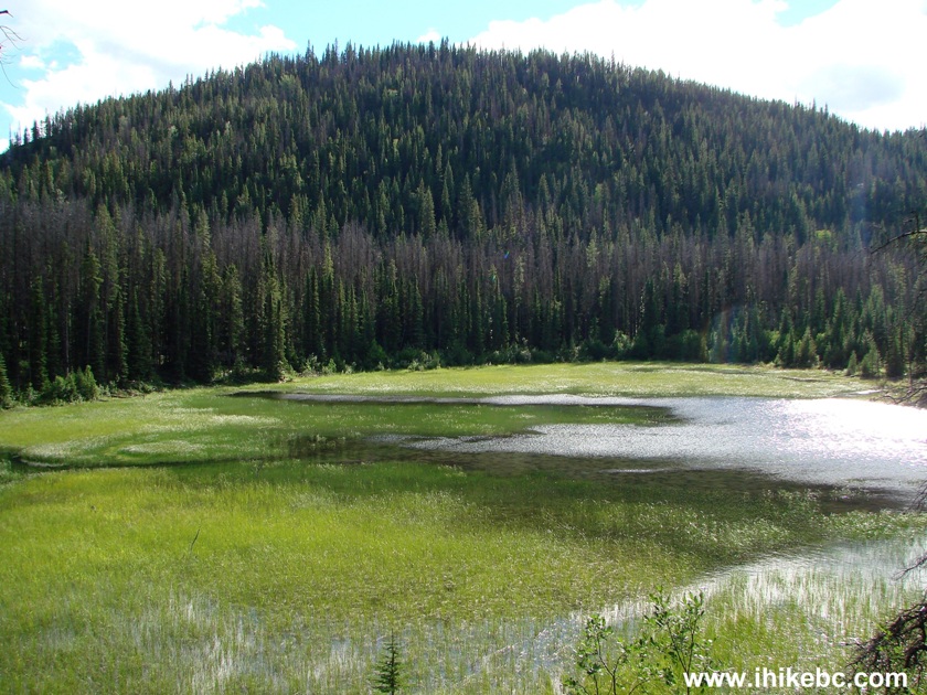
Lake View Stone Corral Trail - Tumbler Ridge Hiking British Columbia Canada
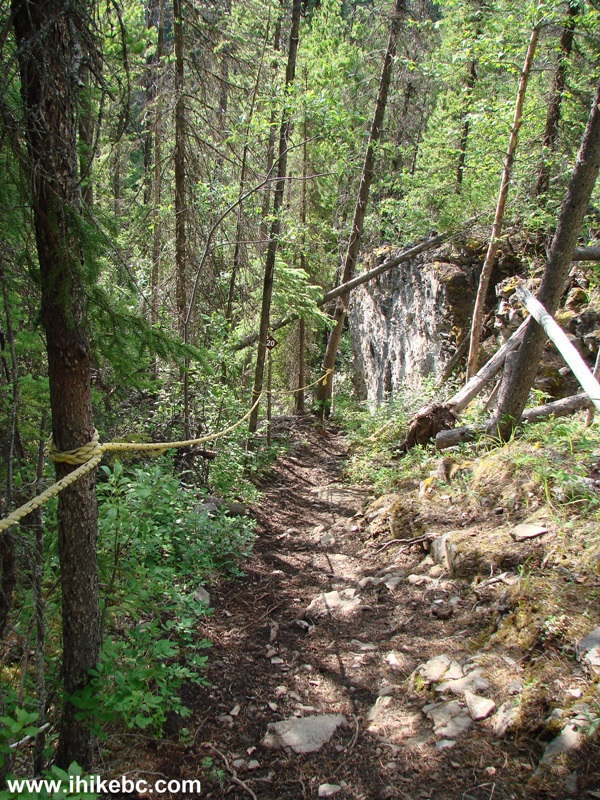
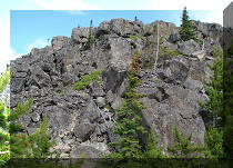
7. This trail can get steep at times.
Hike in Tumbler Ridge Area -
The Stone Corral Trail Monkman Provincial Park BC Canada
8. The Stone Corral Trail splits half an hour into the hike, allowing to hike the upper part of the trail in a loop. We kept right, as recommended by the arrow.
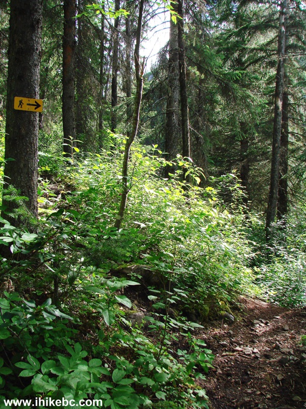
Trail in Tumbler Ridge Area -
The Stone Corral Trail - Circle Trail Start
9. Soon, we have reached the most overgrown part of the trail.
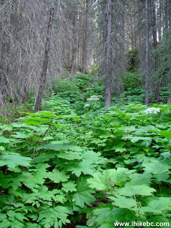
Overgrown Stone Corral Trail
10. Another neat lake follows shortly.
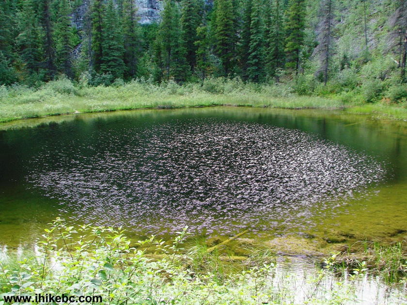
Hiking in Tumbler Ridge Area -
View from the Stone Corral trail in Monkman Provincial Park BC Canada
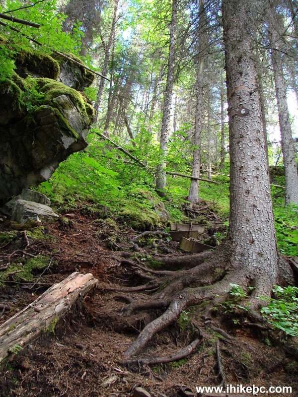
11. More steepness awaits.
BC Trail -
The Stone Corral Trail
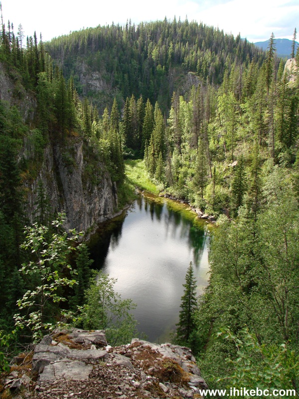
12. And, then, a reward - a multi-coloured Stone Corral lake.
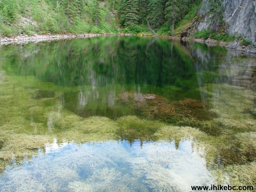
Stone Corral Lake Monkman Provincial Park British Columbia Hiking
13. Past the lake, a turnoff to the Corral Cave on the left side.
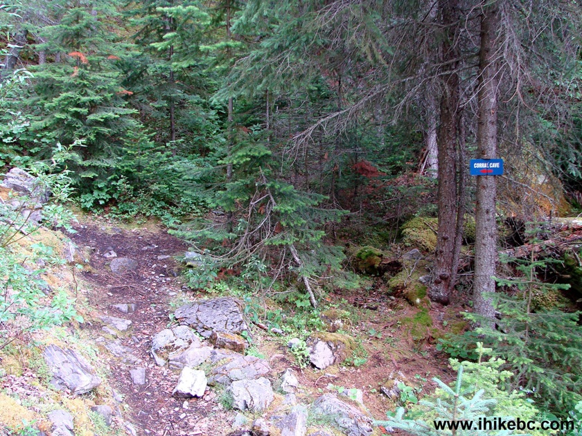
BC Hiking -
The Stone Corral Lake turnoff to the Corral Cave
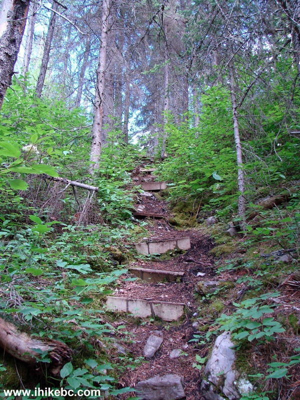
14. A short steep climb to the cave.
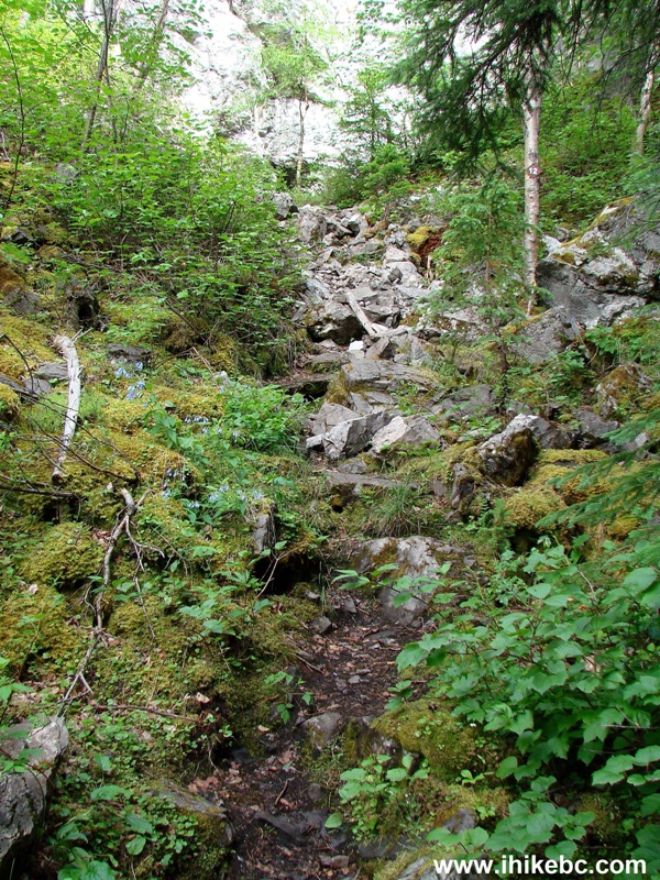
BC Hike -
Path to the Corral Cave
15. The entrance looked intriguing, but the cave itself turned out to be so tiny and unappealing, that we didn't bother posting the photos.
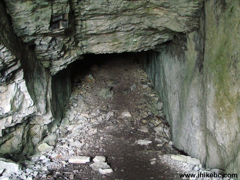
The Corral Cave entrance - Hike in BC
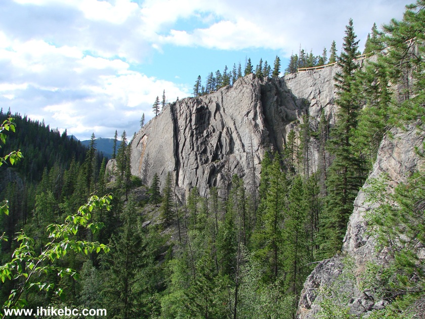
16. Back on the main trail, what a neat scene.
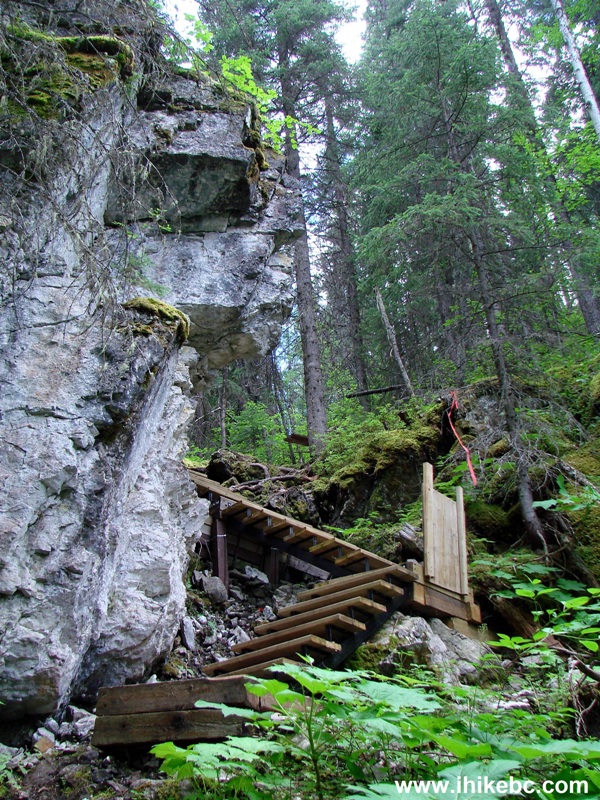
The Stone Corral Trail Northeastern British Columbia Canada
17. Getting up that ladder allows for a good view of the Stone Corral lake below.
The Stone Corral Lake - Trail in BC Canada
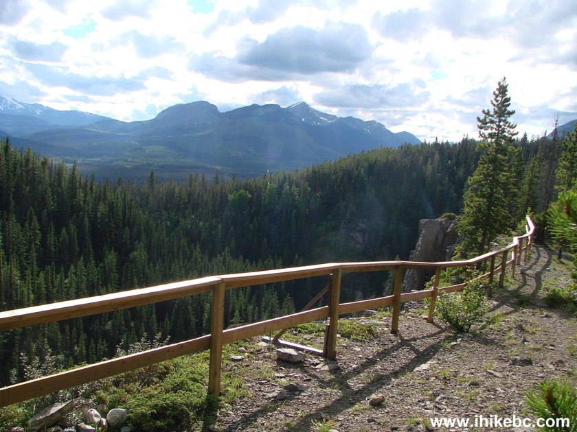
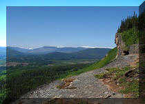
18. Just a bit further and looking right, we see the observation platform at the top of a cliff.
View from the Stone Corral trail - Hiking in British Columbia
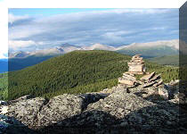
19. Now at the observation platform, 1 hour 7 minutes from the start of the hike. Coordinates: N 54⁰45.845' W 121⁰10.729'. Elevation: 992 meters (127 meters elevation gain from the trailhead).
The Stone Corral trail observation platform Monkman Provincial Park
British Columbia Canada
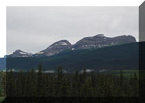
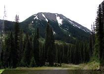
20. Looking to the left, there is Castle Mountain.
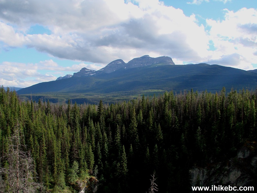
Castle Mountain Northeastern British Columbia Canada
Here is our video from the observation platform:
More ihikebc videos are on our YouTube Channel.
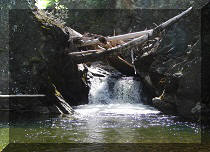
21. A split to Porcupine Cave comes soon after the observation platform.
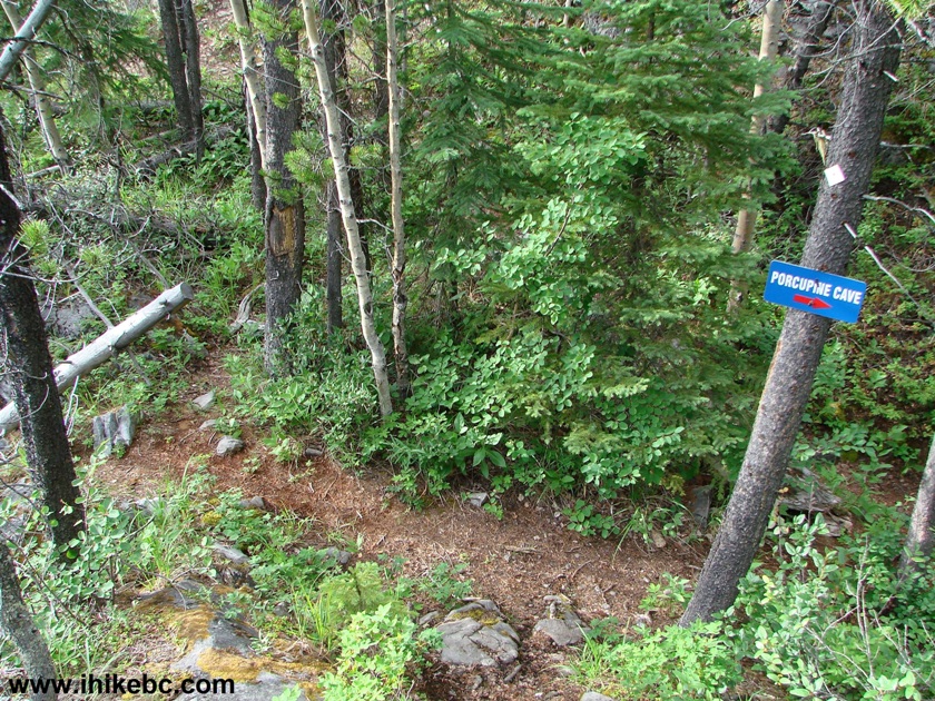
The Stone Corral Cave turnoff to Porcupine Cave
22. Within a minute, we are at the Porcupine Cave. Same deal as before - quite an impressive entrance, but the cave, though a bit larger, is not all that impressive. The kids might think otherwise, of course.
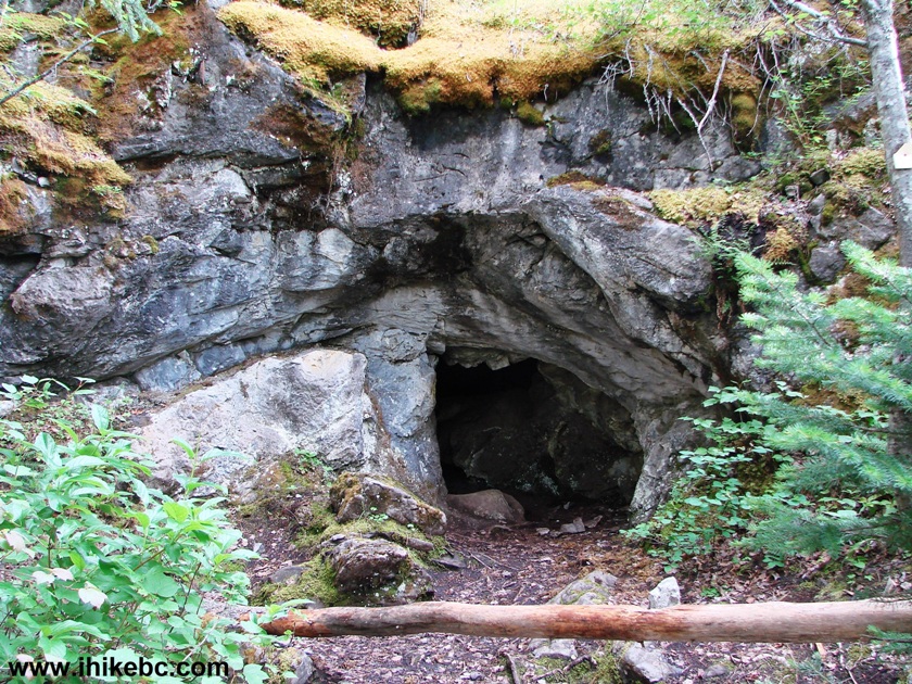
Porcupine Cave entrance - the Stone Corral trail Monkman Provincial Park
BC Canada
23. Be careful, if you are not very lean, as you might get stuck at the entrance, since it's not as wide as it looks in the photo. Apparently, there is a slightly wider entrance on the other side of the cave, but, somehow, we missed it.
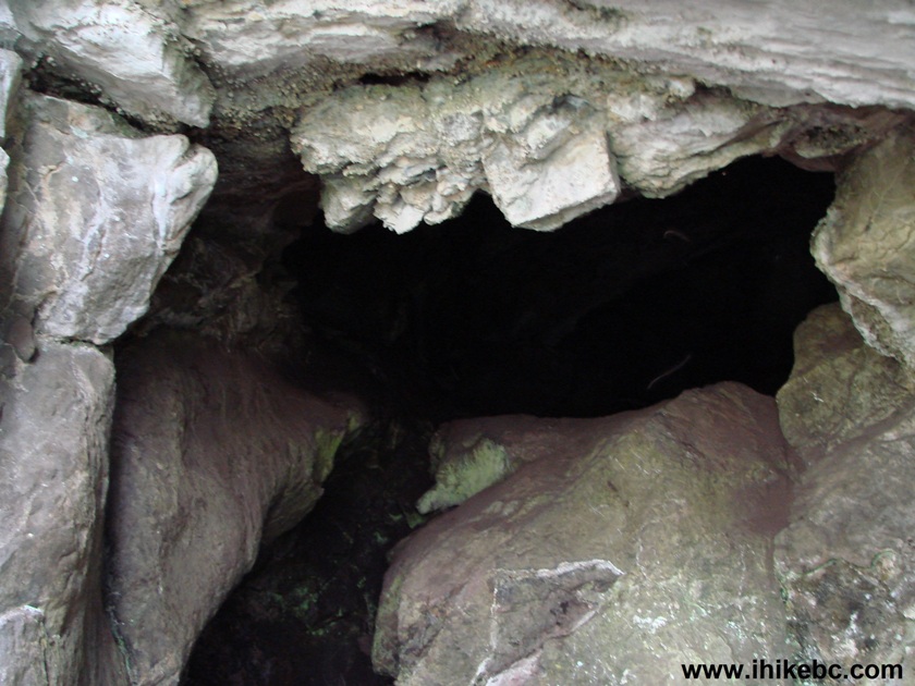
Porcupine Cave entrance - the Stone Corral trail - BC Cave
24. Looking from inside of the cave to the outside.
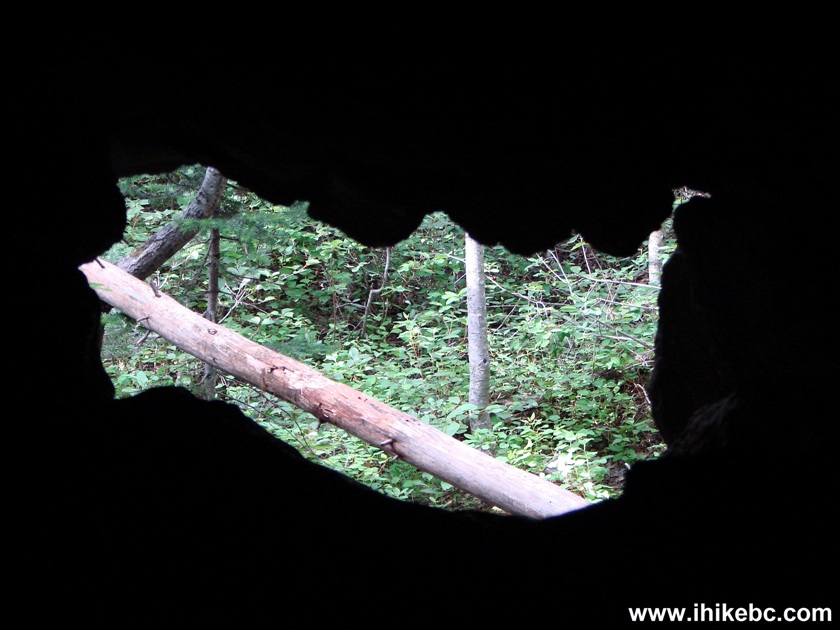
Looking from inside of the Porcupine Cave in British Columbia
25. Steep descent on the way back.
The Stone Corral Trail - Tumbler Ridge Hiking British Columbia
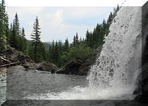
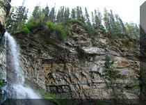
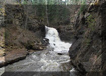
26. And here is Jade Falls - you can get there by hiking a trail, which starts across Murray FSR from the Stone Corral Trail. Once on Jade Falls Trail, keep left from the start, and you would be at the falls within 10 minutes. You can complete a loop trail in an hour or so, but there is very little to see aside from the falls and a (somewhat) picturesque lake. Hiking boots and poles would be highly recommended for this trail too.
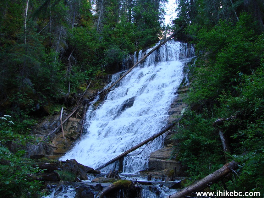
Jade Falls Monkman Provincial Park British Columbia Canada
The Stone Corral Trail is one of the best attractions of Monkman Provincial Park.


|
 |
Other Trips in Tumbler Ridge BC Area:
|
|
|
|
|
|
|
|
|
|
|
|
|
|
|
|
|
Bergeron
Cliffs Hike
|
 |
Windfall Lake Trail  |
|
Cowmoose Mtn Trail
|
|
Bootski Lake Trail  |
|
Murray Canyon
Overlook
|
|
Quality Canyon Trail  |


![]()
![]()
![]()
ihikebc.com Trip 110 - The Stone Corral Trail Hike (near Tumbler Ridge BC)