![]()
![]()
![]()

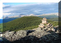
Trip 083 - June 4-6, 2015 (Thursday - Saturday)
Pinnacle Peak Route Hike
Near Tumbler Ridge BC
Page 1 of 2
Location: Northeastern British Columbia. The trailhead is located
off Windfall Creek Forest Service Road, which begins off Bullmoose Mine
Road, which, in turn, starts off BC Highway 29, approximately 20
kilometers North of Tumbler Ridge.
Liked: Mountain views, meeting a ptarmigan, relatively easy access to the trailhead.
Of note: Remote wilderness area, no cell phone signal, no shade in the second half of the route, strong wind on the exposed ridge, several short stretches are very steep, hiking boots and poles are essential. This trail is for experienced hikers only. Not recommended, unless the ground is completely dry, and the snow is gone.
Northern BC Backroad Mapbook (3rd edition) Coordinates: Page 43 (Mount Crum) E4.
Other Trips Off Bullmoose Mine Road: Cowmoose Mountain Trail Hike, Windfall Lake Trail Hike, Holzworth Meadows Hiking Route.
Follow @ihikebc Tweet
Pinnacle Peak Route features several impressive mountain views, and can be done in as little as five hours round trip, or turned into a much longer hike. Unless the snow is gone and the ground is dry, this could be a very dangerous trail due to several steep sections. Even in ideal hiking conditions, Pinnacle Peak Route is better left for experienced and properly equipped hikers.
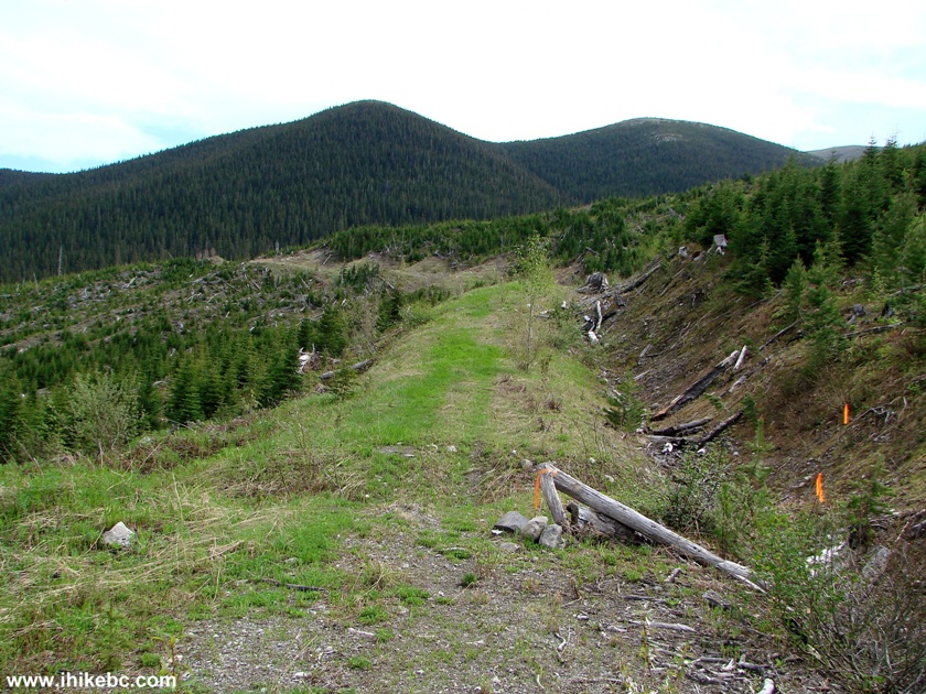
1. We start with a turnoff from Windfall Creek FSR onto the road, which, in two kilometers, leads to Windfall Creek, where you would have to leave your vehicle, as the bridge across the creek has been removed. This is the same photo as photo #18 in our previous trip report (Bullmoose Mine Road & Windfall Creek FSR). Check out that trip report for directions on getting up to this point of your trip to Pinnacle Peak Route trailhead.
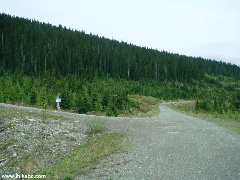
Windfall Creek Forest Service Road Turnoff to Windfall Lake Trail and
Pinnacle Peak Route
2. Immediately after turning onto the side road. The blue sign indicates "Windfall Lake 2 km, Pinnacle Peak 2 km". These distances are to the trailheads.
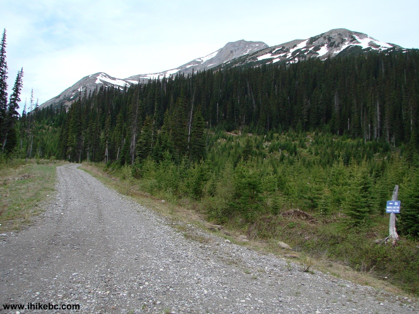
Road to Pinnacle Peak Route and Windfall Lake Trail
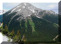
3. Closer to the end of the side road, we see the mountain which we will climb first, before proceeding towards Pinnacle Peak.
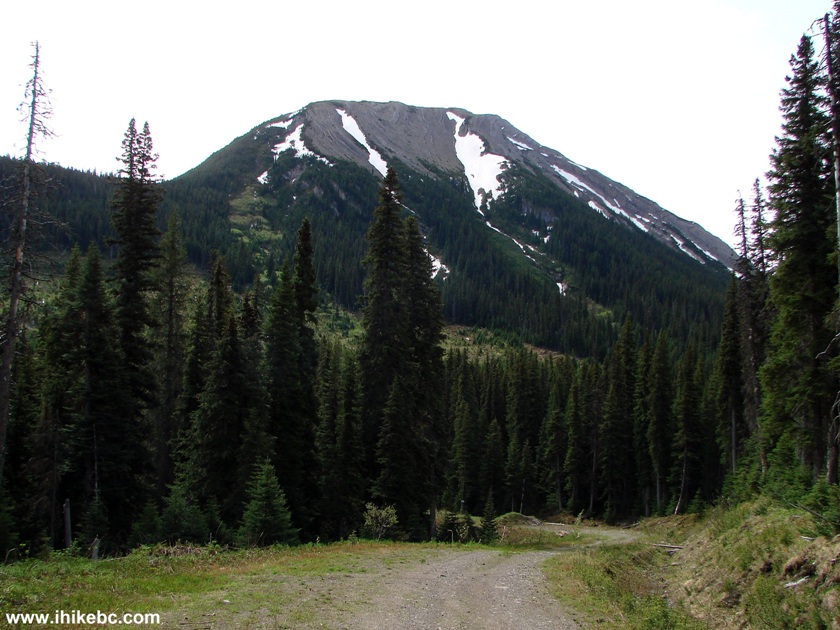
Road off Windfall Creek FSR British Columbia Canada
4. End of the side road. Windfall Creek is just beyond this pile. Windfall Lake trailhead is to the right. Pinnacle Peak Route trailhead is beyond Windfall Creek.
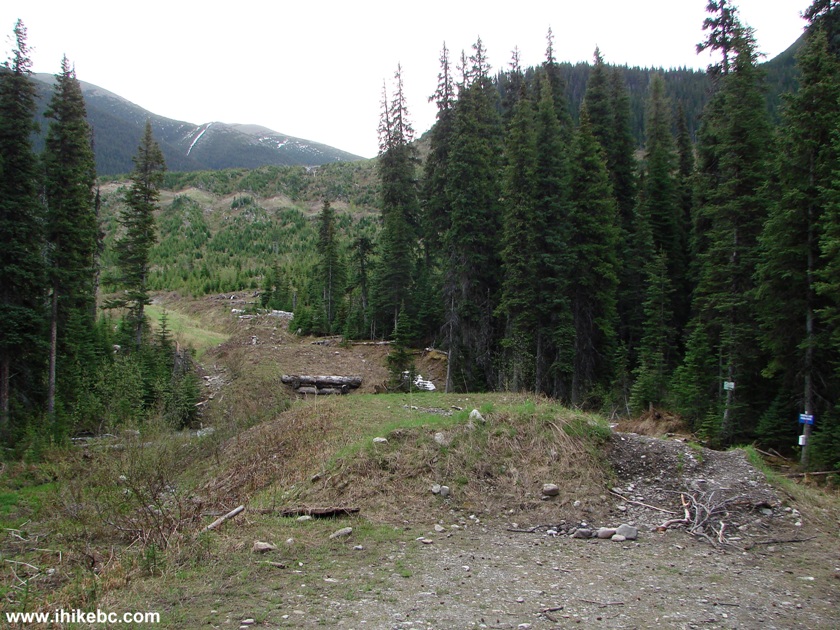
Road Near Windfall Creek BC Canada
5. Windfall Creek beyond the pile. You need to get to the other side of the creek.
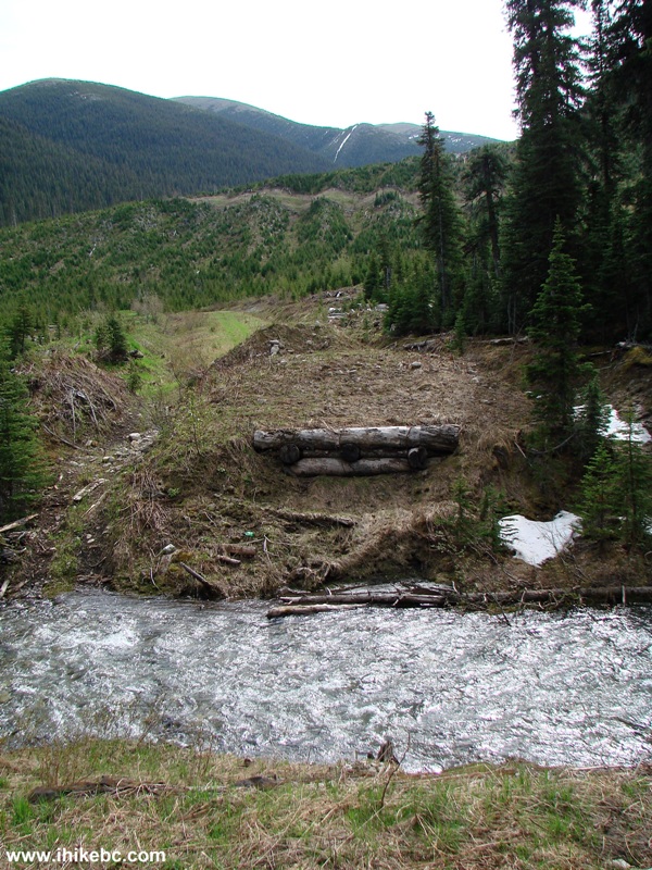
Windfall Creek British Columbia Canada
6. Windfall Lake trailhead on the right side. This is where you need to go to get to Pinnacle Peak Route trailhead.
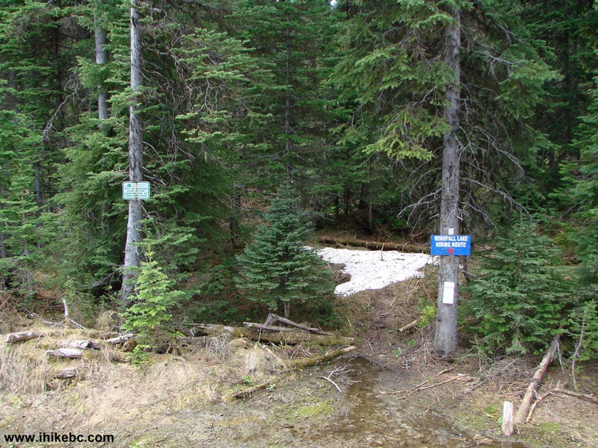
Windfall Lake Trailhead BC Canada
7. Very shortly, on the left side, this log allows you to cross Windfall Creek.
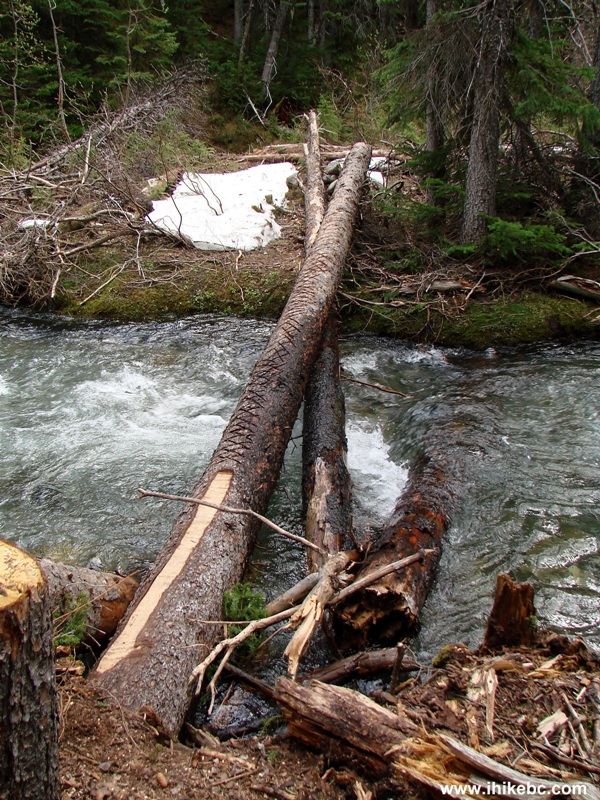
Windfall Creek Log Crossing
8. Once you cross the creek, keep left, and, within a minute, you would be on the forest service road beyond the creek.
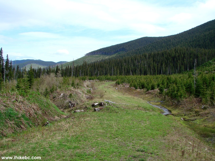
Road to Pinnacle Peak Route British Columbia Canada
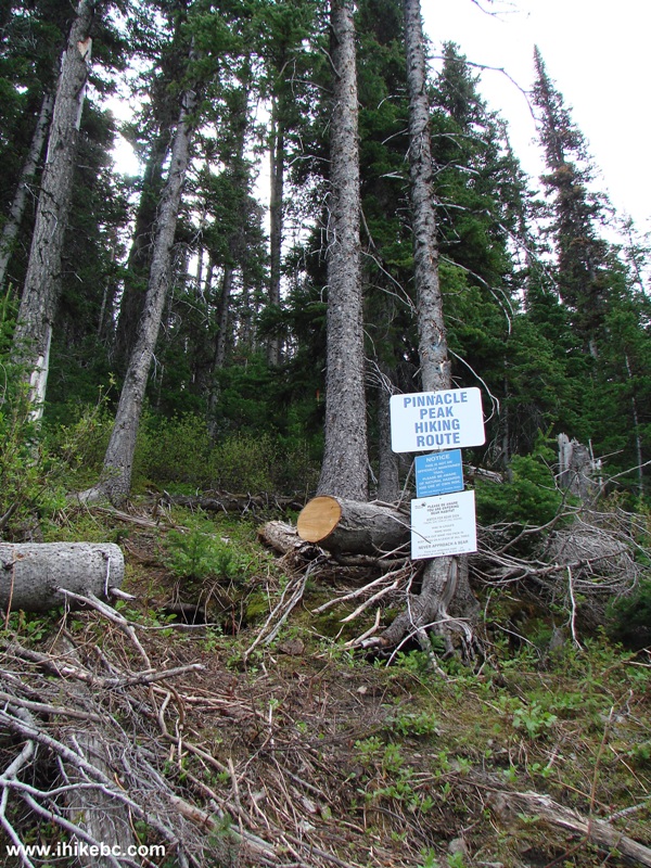
9. In fifteen minutes, the well-marked trailhead is on the right side. Coordinates: N 55⁰01.138' W 121⁰36.826'. Elevation: 1,270 meters.
Pinnacle Peak Route Trailhead
10. Looking up from the trailhead. Lots of flagging tape along this trail/route.
Tumbler Ridge Hiking -
The Beginning of Pinnacle Peak Route British Columbia Canada
10. Before getting into the forest. Elevation: 1,350 meters.
Pinnacle Peak Route - Hike in Tumbler Ridge area British Columbia Canada
11. The rules of engagement.
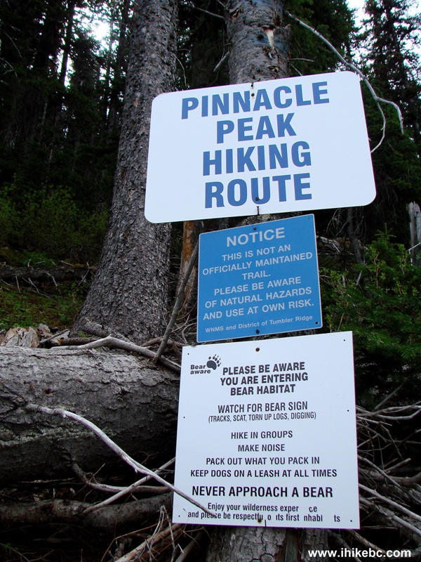
BC Hiking -
Pinnacle Peak Hiking Route Warning Messages
12. The forest begins.
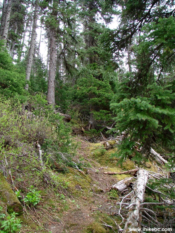
Pinnacle Peak Hiking Route - Hike in British Columbia Canada
13. It's a pleasant, if unremarkable, part of the hike, just before the start of the real challenge.
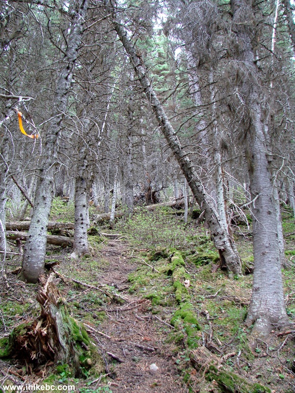
Forest Part of Pinnacle Peak Route - Tumbler Ridge Hiking
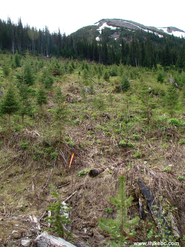
14. The snow was mostly gone, but even this small spot made things complicated, as there was no way around it, and there was a good opportunity to slide sideways. Elevation: 1,450 meters.
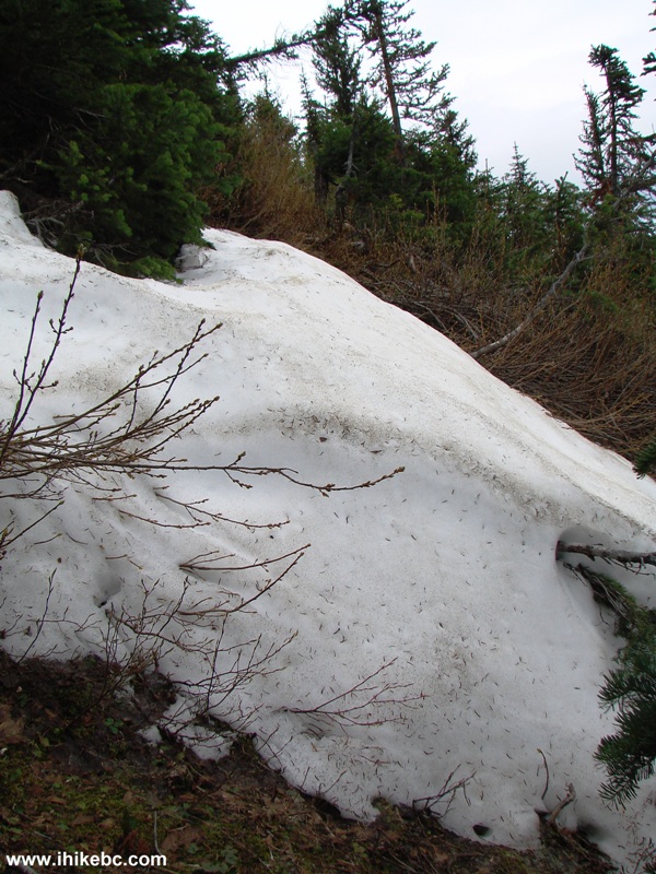
Snow on Pinnacle Peak Route BC Canada
15. Looking back we see the locations of: 1) The split seen in photo #1; 2) The end of the FSR spur seen in photo #4; 3) Pinnacle Peak Route trailhead seen in photo #9. The distance between arrow #1 and arrow #2 is two kilometers.
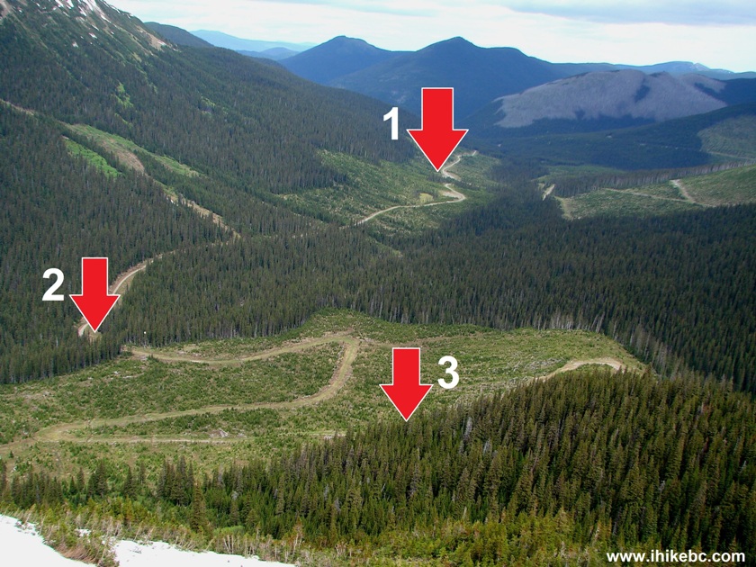
View From Pinnacle Peak Route
16. It would take about 15 minutes to walk through the forest, and then the most dangerous part of the hike arrives - several very steep stretches. This is the first one. Snow made things even more complicated, but it was possible to walk by the edge of the snow and use small trees as anchors.
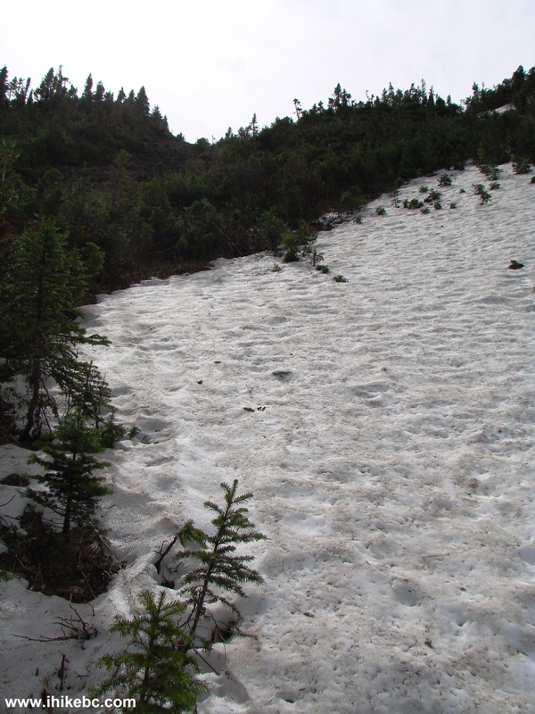
Pinnacle Peak Route British Columbia Canada
Our Pinnacle Peak Route trip report Continues on Page 2.


|
 |
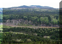
Other Trips in Tumbler Ridge BC Area:
|
|
|
|
|
|
|
|
|
|
|
|
|
|
|
|
|
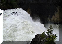
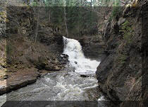
Monkman
Falls Hike
|
|
Windfall Lake Trail  |
|
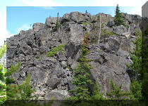
Cowmoose Mtn Trail
|
|
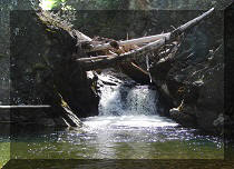
Bootski Lake Trail  |
|
Murray Canyon
Overlook
|
|
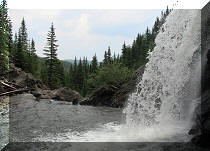
Quality Canyon Trail  |


![]()
![]()
![]()
Follow @ihikebc Tweet
ihikebc.com Trip 083 - Pinnacle Peak Route Hike (near Tumbler Ridge BC) Page 1 of 2