![]()
![]()
![]()

Trip 109 - June 30, 2016 (Thursday)
Monkman Falls Hike
Via Monkman Pass Memorial Trail
Monkman Provincial Park by Tumbler Ridge BC
Page 1 of 2
Trailhead Location: Northeastern British Columbia, approximately 64 kilometers Southeast of Tumbler Ridge, at the end of Murray River Forest Service Road.
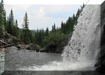
Liked: Monkman Falls, several fine mountain views, suspension bridge, lots of shade.
Of note: Remote wilderness area, the trail is overgrown in many places, some trail erosion by the river, numerous fallen trees, mosquitoes and bugs, hiking poles and boots are recommended.
Northern BC Backroad Mapbook (3rd edition) Trailhead Coordinates: Page 44 (Tumbler Ridge) B7.
Related Website: Monkman Provincial Park - BC Parks.
Other Trips off Murray River FSR: Nesbitt's Knee Falls, Stone Corral Trail Hike, Barbour Falls Trail Hike, Kinuseo Falls.
>>> British Columbia Waterfalls Visits.
Follow @ihikebc Tweet
Monkman Falls is one of many waterfalls along Monkman Pass Memorial Trail, which goes for 60+ kilometers and is often hiked either just to these waterfalls (called Cascades, as there are ten of them in quick succession), or to Monkman Lake. The information on websites we have checked indicated 25 kilometers one way to Monkman Lake, but also that biking is possible for the first 12 kilometers. So, we thought if we could bike the first half of the trail to Monkman Lake, then hiking for 26 kilometers to the lake and back to the bike wouldn't be as daunting as trying to hike all 50 kilometers return trip. The available information indicated that to get to Monkman Lake and back would take three days. However, since this is June and we are up North, the daylight is good for over 18 hours - so, we decided to try to make it to Monkman Lake and back in one day. Here is what actually happened:
1. Before we begin the trip report, check out this cute moose, which we encountered on the side of Highway 29 near Tumbler Ridge.
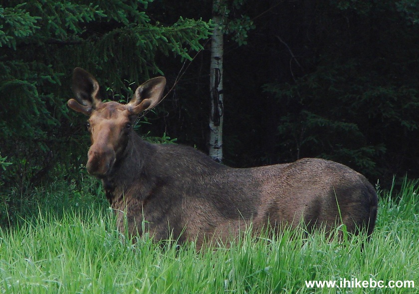
Moose Near Tumbler Ridge British Columbia Canada
2. To get to Monkman Pass Memorial Trail trailhead, follow directions to Kinuseo Falls, available at our Kinuseo Falls Visit Trip Report. The photo below is taken from the same spot as photo #10 of that trip report. Turning right at this intersection would lead to Kinuseo Falls a kilometer later, while going straight would lead to Kinuseo Falls campground in about 1.3 kilometers, and then to the parking lot by the trailhead.
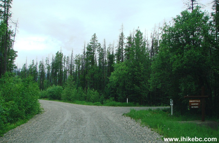
Murray River Forest Service Road near Tumbler Ridge BC Canada
3. We went straight, and here is the turnoff to the campground.
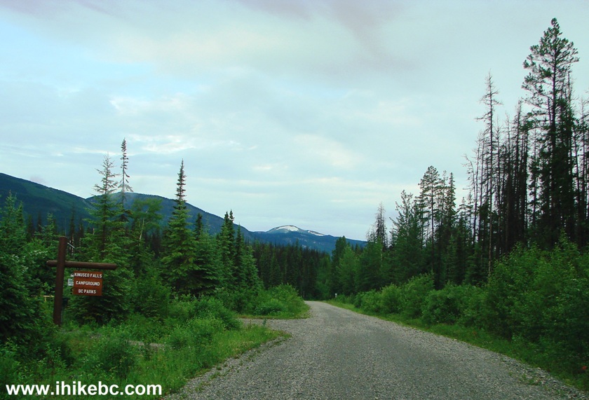
Turnoff to Kinuseo Falls Campground from Murray River FSR
4. Two hundred meters later, a large parking lot ends Murray River Forest Service Road. Coordinates: N 54⁰45.903' W 121⁰12.402'. Elevation: 870 meters. The trailhead is at the far left side.
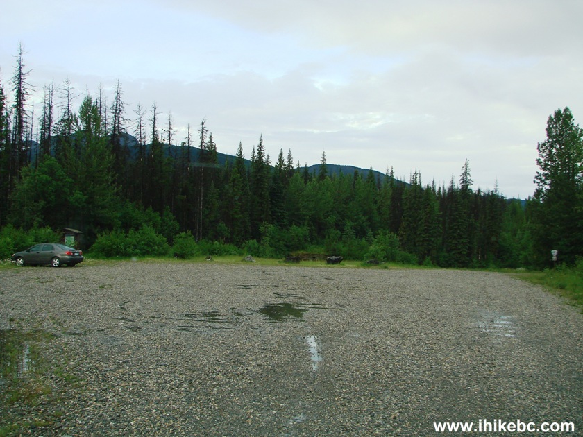
Parking Lot by Monkman Pass Memorial Trail Trailhead
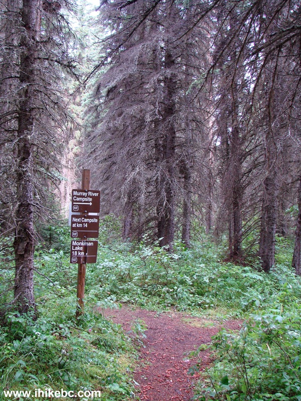
5. We are at the far left side of the parking lot, and the trailhead is where the signpost is in the background of this photograph.
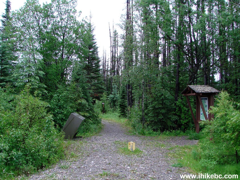
Monkman Provincial Park
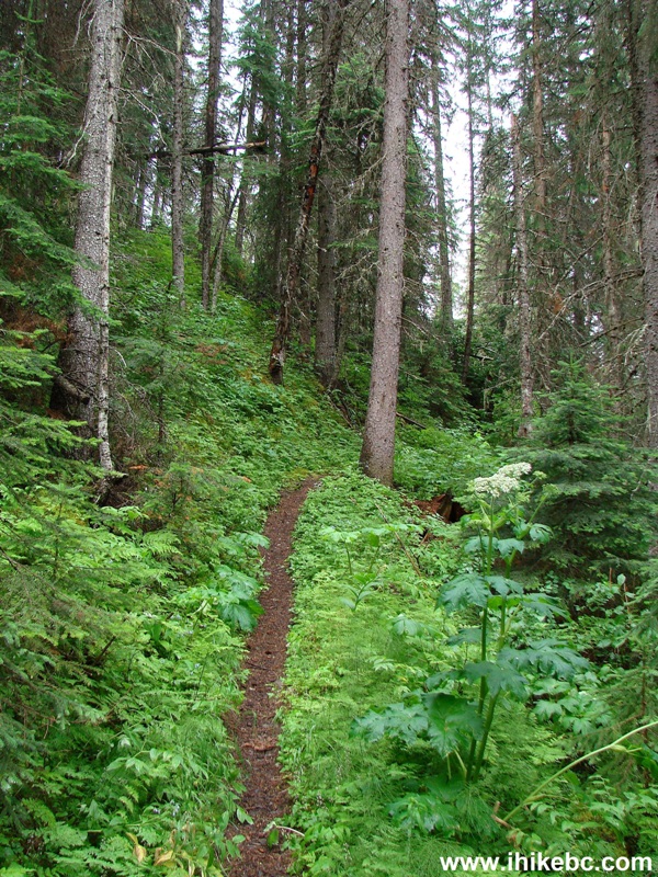
6. The trail is quite overgrown at the beginning (and in many later parts), so your feet are bound to get wet, if you hike when the dew is out, or after a rain. One of the good things about this trail is that hiker registration (below, under a plastic cover) is available several hundred meters after the trail start. For the first several kilometers, the trail goes by the edge of the river - watch for a few eroded parts of the trail, some of which are hidden by vegetation.
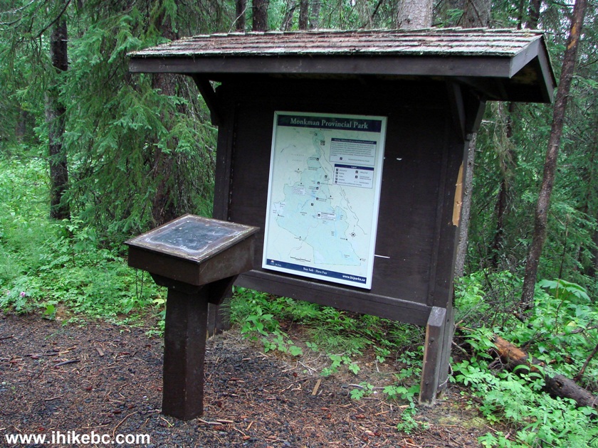
Monkman Pass Memorial Trail Hiker Registration
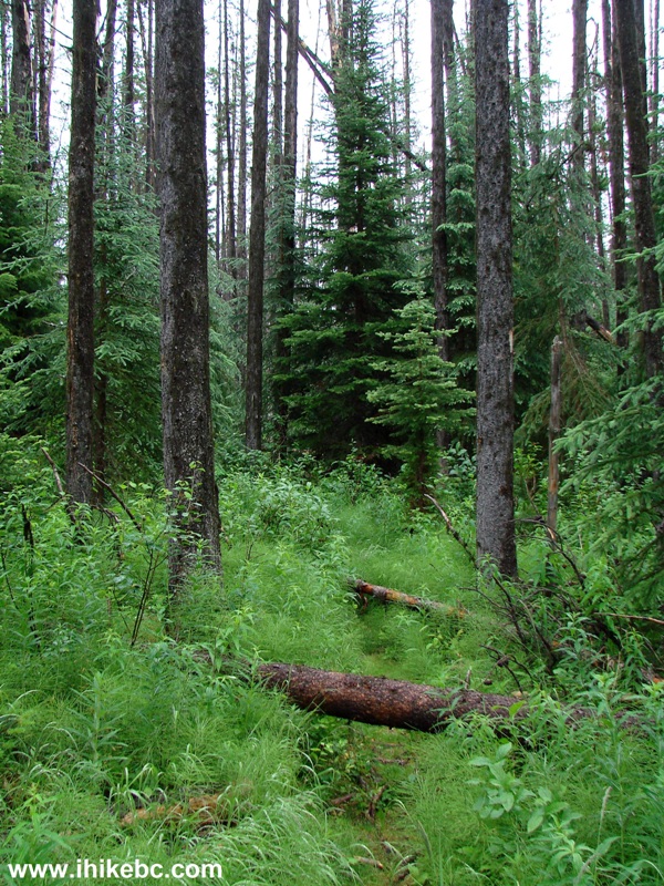
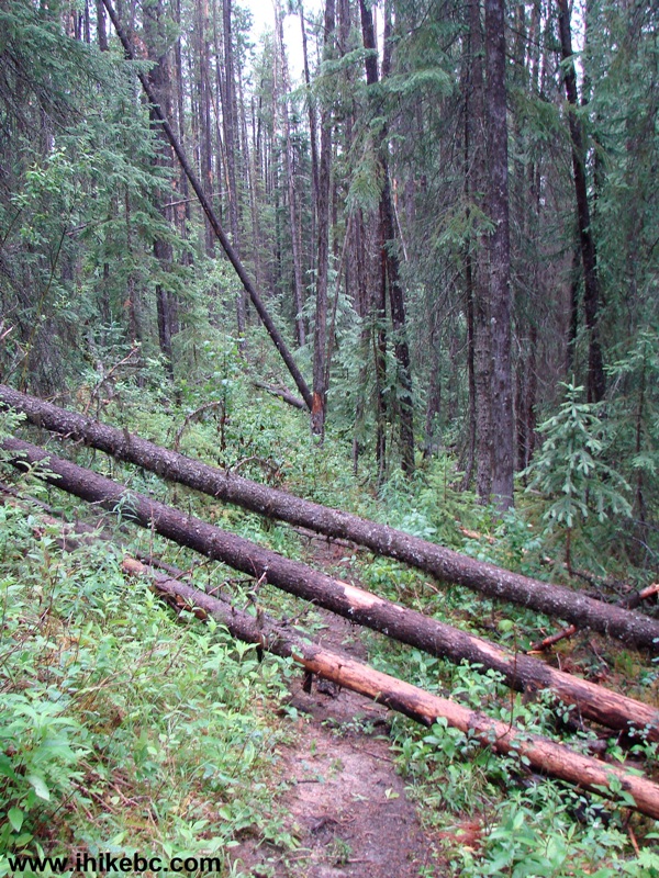
7. Our dream of twelve kilometers of peaceful biking came to an abrupt end very quickly, as numerous fallen trees quite often made it impossible to go for more than a few hundred meters at once without having to stop, dismount, haul the bike over the tree(s), and then carry on. Also, there are numerous roots, making it for less than a serene ride. In addition, many hazards are hidden by encroaching vegetation, and we actually busted the front wheel on the way back because of that - it's a good thing the end of the hike was not too far.
Monkman Pass Memorial Trail by Tumbler Ridge British Columbia
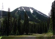
8. There are very few views for a long time, with this mountain view (zoomed) being a rare exception.
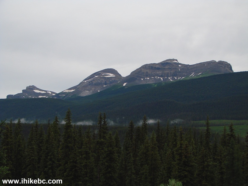
British Columbia Hiking
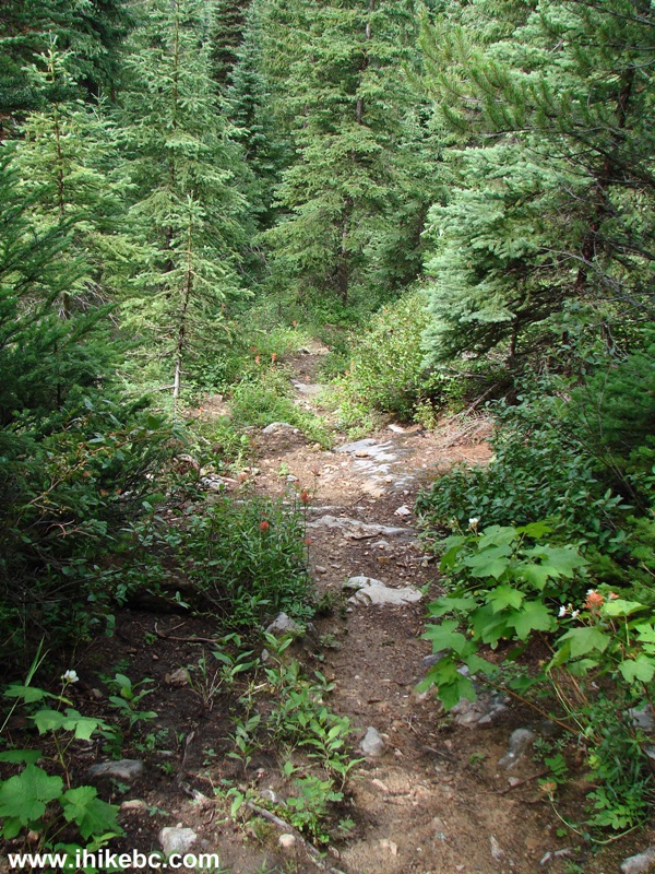
9. And then there were more fallen trees.
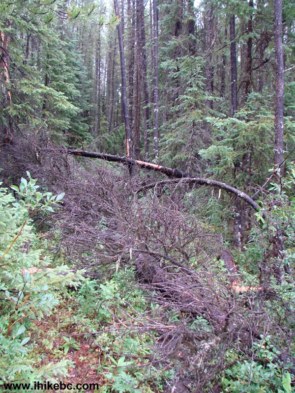
10. It sure was a good workout having to haul the bike over all these trees; but, with so many of them, the energy needed for a day-long bike/hike began to disappear long before Monkman Lake. Most of the fallen trees are between km 1 and 4.
Hike in Tumbler Ridge Area towards Monkman Falls
11. This suspension bridge comes at the 7 km mark.
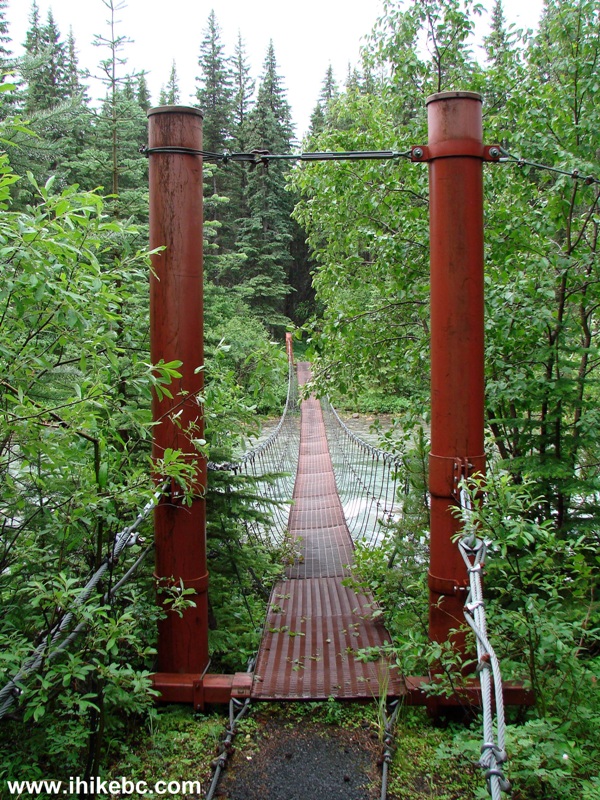
Suspension Bridge Monkman Pass Memorial Trail - Hiking in Tumbler Ridge
Area
12. It's a neat bridge indeed.
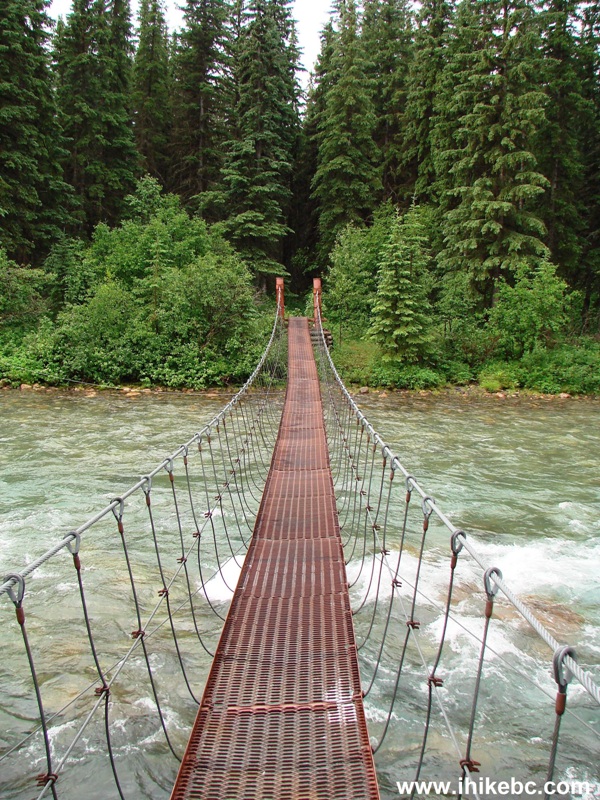
Monkman Pass Memorial Trail Suspension Bridge - Tumbler Ridge Hike
13. After the bridge, there is a turnoff to a camping area by Murray River.
Tumbler Ridge Hiking
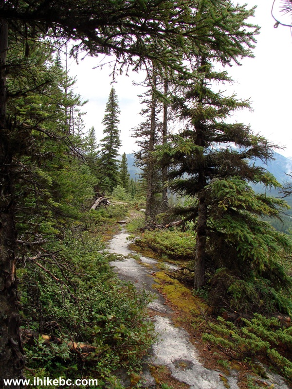
14. The path then becomes better, smoother, and starts going up.
Tumbler Ridge Trail -
Monkman Pass Memorial Trail
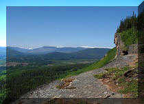
15. Within several kilometers, we are on top of a ridge. The photo below was taken at approximately N 54⁰42.225' W 121⁰10.097'. Elevation: 1,042 meters.
Ridge at about 9 km Mark - Monkman Pass Memorial Trail in Tumbler Ridge
Area BC Canada
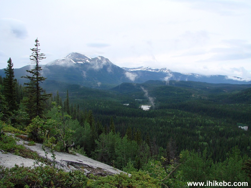
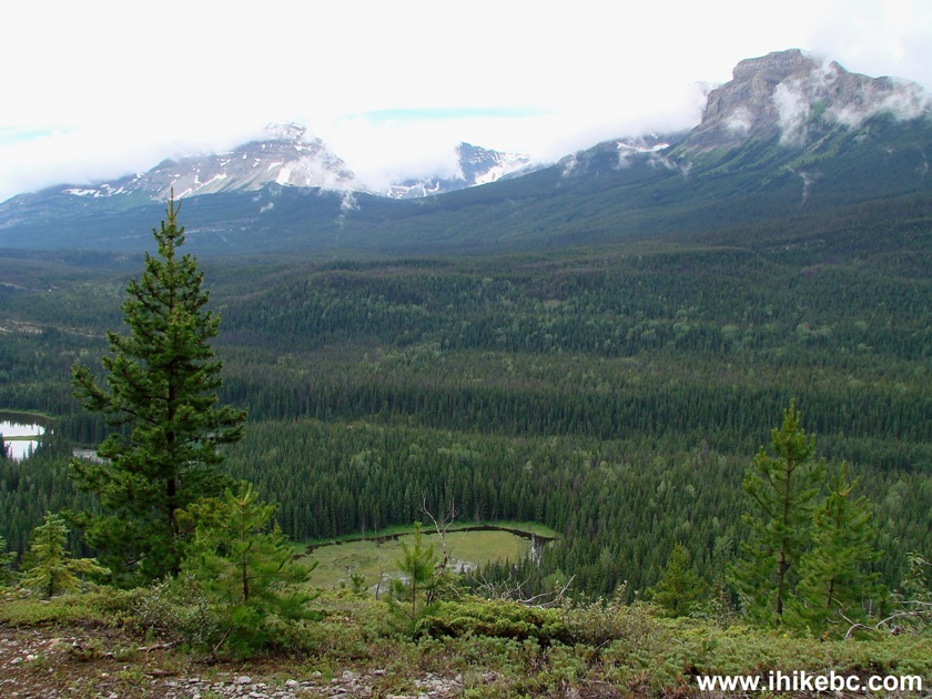
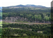
16. Good mountain views start to (briefly) appear at the 9 km mark. It was still cloudy at this point, but, on the way back, the sun was out, and the views were fairly decent.
Mountain View from the ridge on Monkman Pass Trail - BC Hiking
17. Another one.
Monkman Provincial Park British Columbia Canada
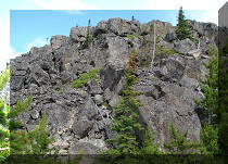
18. A close-up of the mountain on the right.
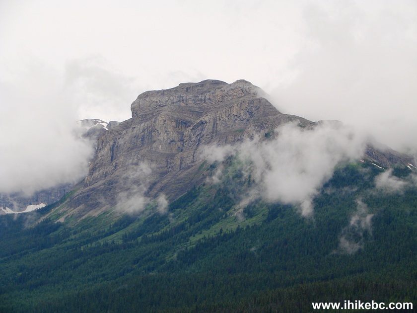
Mountain Seen from Monkman Pass Memorial Trail - BC Trail
19. So, the 12th kilometer came, and we were still biking. Not quite sure why the BC Parks' site states biking can be done in the first twelve kilometers. There is for sure a VERY steep descent immediately after the 14 km mark, but, if you are willing to push the bike up that hill on the way back, and continue to overcome various obstacles on your way while carrying the bike in your hands, you can certainly keep riding down this trail all the way to Monkman Falls. The photo below is between km 13 and 14.
Trail in British Columbia
20. This mountain view appeared shortly.
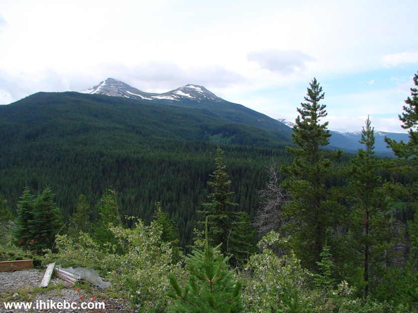
Monkman Provincial Park near Tumbler Ridge BC Canada
21. We left our bike at the 14 km mark, and started hiking. Here is the beginning of that steep hill immediately after the 14 km mark. It's the longest steep part of the trail to Monkman Falls, and it goes for several hundred meters. Other than that, the trail is not too bad as far as grades.
British Columbia Hiking - Monkman Pass Memorial Trail
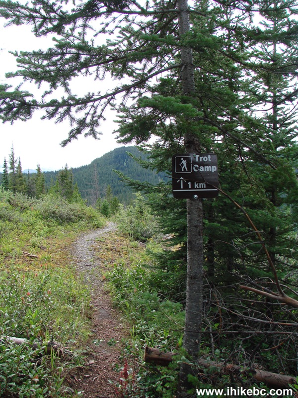
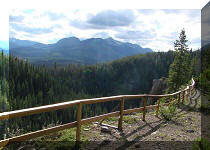
22. Soon after the path levelled off, we have reached the Trot camping area.
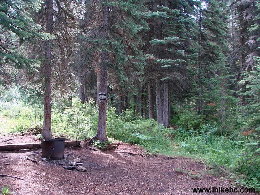
Monkman Pass Trail Trot Camp
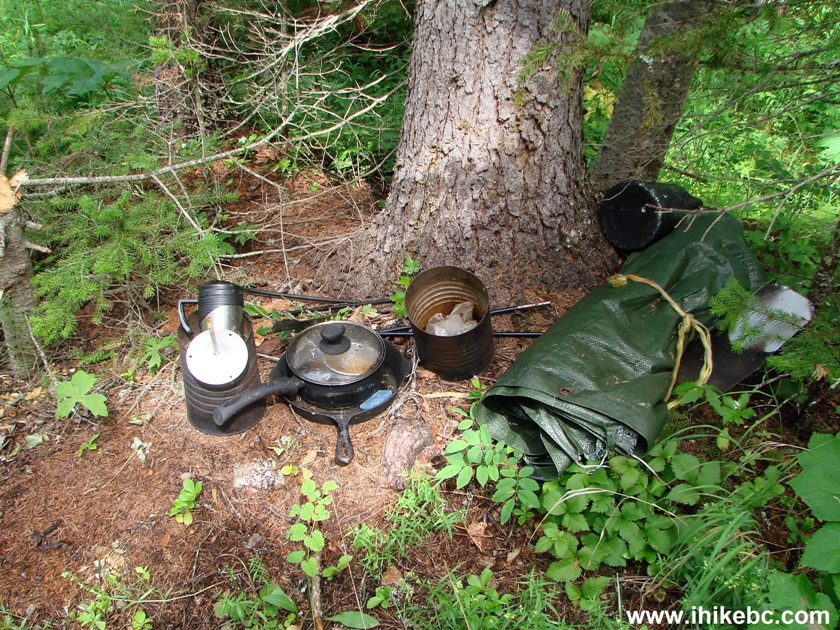
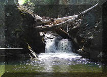
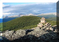
23. In case you need a pan.
Our Monkman Falls Hike trip report Continues on Page 2.


|
 |
Other Trips in Tumbler Ridge BC Area:
|
|
|
|
|
|
|
|
|
|
|
|
|
|
|
|
|
Bergeron
Cliffs Hike
|
|
Windfall Lake Trail  |
|
Cowmoose Mtn Trail
|
|
Bootski Lake Trail  |
|
Murray Canyon
Overlook
|
|
Quality Canyon Trail  |


![]()
![]()
![]()
Follow @ihikebc Tweet
ihikebc.com Trip 109 - Monkman Falls Trail Hike (near Tumbler Ridge BC) Page 1 of 2