![]()
![]()
![]()

Trip 125 - May 22, 2017 (Monday)
Quality Canyon Trail Hike
Near Tumbler Ridge BC
Location: Northeastern British Columbia. Near Highway 52 about 108 km South of Dawson Creek, and 10 km North of Tumbler Ridge.
Liked: Fairly easy trail (to the canyon lookout), canyon view, Murray River view, information boards, the second half of the trail can be done in a loop.
Of note: There are steep drop-offs near the canyon edge. Should you choose to hike the loop, as opposed to retracing your steps after looking at the canyon, the trail would get much steeper. Descent to the bottom of the canyon is for experienced hikers only. Hiking poles and boots are recommended, if hiking to the canyon lookout and back, and highly recommended, if you decide to hike the loop, and, especially, descend to the bottom of the canyon. The canyon is prone to rockfalls and floods.
Northern BC Backroad Mapbook (3rd edition) Trailhead Coordinates: Page 44 (Tumbler Ridge) D1.
Of the three trails we hiked today, Quality Canyon Trail was the only one which felt like a real hike, with several tough stretches, as opposed to a neat walk in the woods, which was the case with Murray Canyon Overlook Trail, and Quality Falls Trail. You would most likely encounter much fewer people on this trail than on the trail leading to Quality Falls. And, if you are able to get down to the bottom of Quality Canyon and don't mind getting your feet wet, you just might be able to hike to Quality Falls through a fairly impressive Quality Canyon.
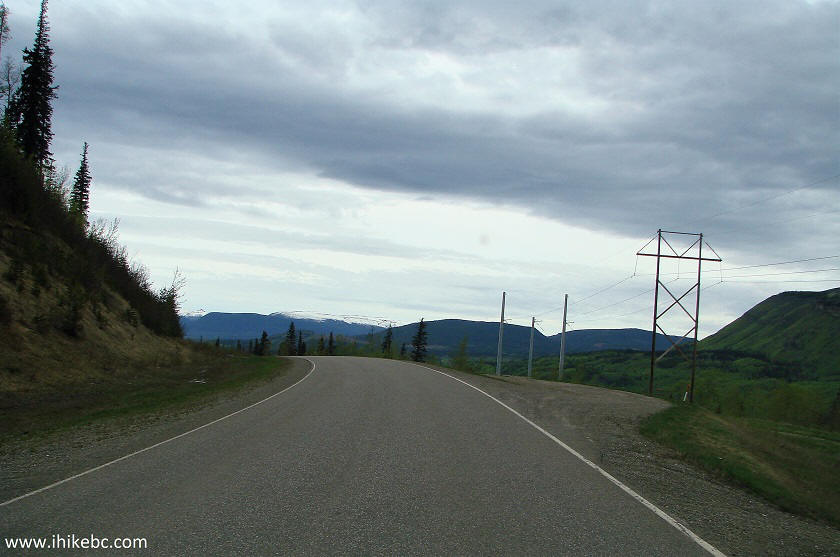
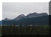
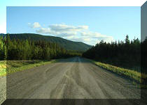
1. We are Southbound on Highway 52, approaching Quality Canyon Trail parking area.
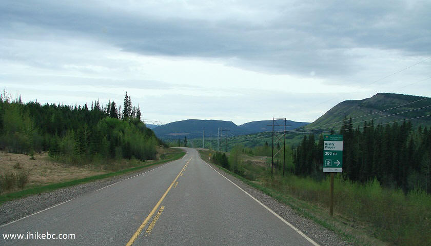
BC Highway 52 Near Tumbler Ridge BC Canada
2. Here it is, right by the highway. Coordinates: N 55⁰10.084' W 120⁰58.814'. Elevation: 901 meters. This parking spot is located 3.1 km to the South of Quality Falls Trail parking by Highway 52.
Parking spot for Quality Canyon trail near Tumbler Ridge British
Columbia
3. The trailhead is a few hundred meters to the North of the parking area. A sign leads you there.
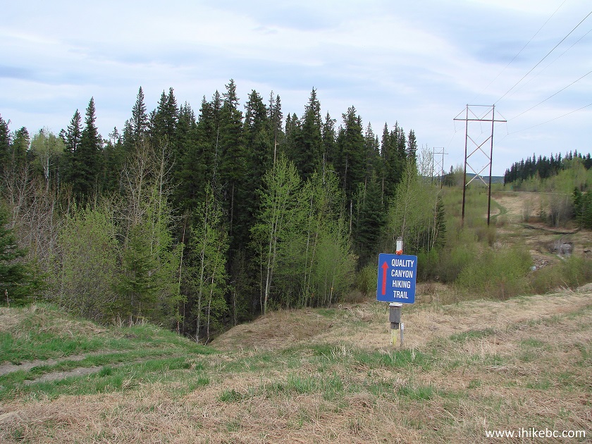
Quality Canyon Trail directions Northeastern British Columbia Canada
4. A small boardwalk soon after the start of the Quality Canyon Trail.
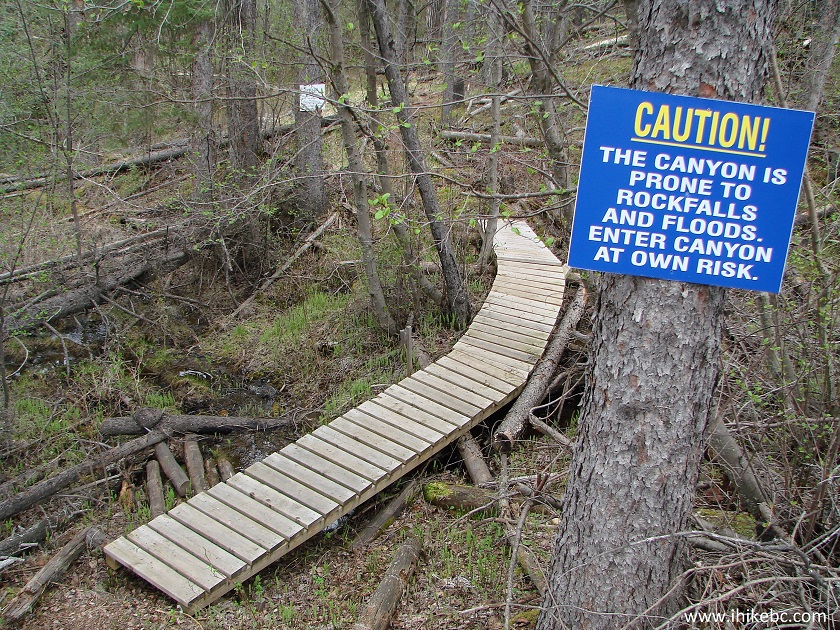
Tumbler Ridge Hike -
Quality Canyon Trail British Columbia
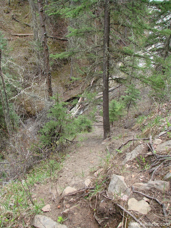
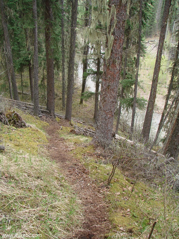
5. The trail to the canyon lookout is quite easy.
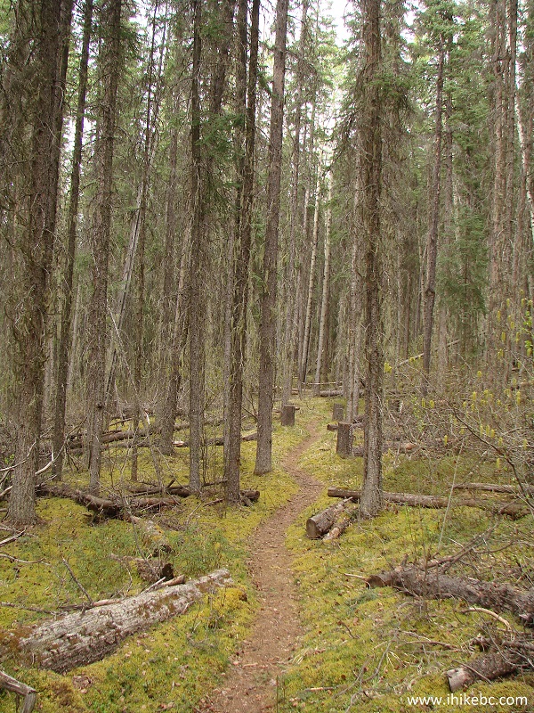
Quality Canyon Trail Near Tumbler Ridge - British Columbia Hiking
6. In 40 minutes, we have reached the start of the loop. Going right would lead to the canyon view in just a few minutes. Going left would result in a substantially more challenging trail via the mouth of Quality Creek, where it ends its journey by joining the waters of Murray River. We went to the right to see the canyon first.
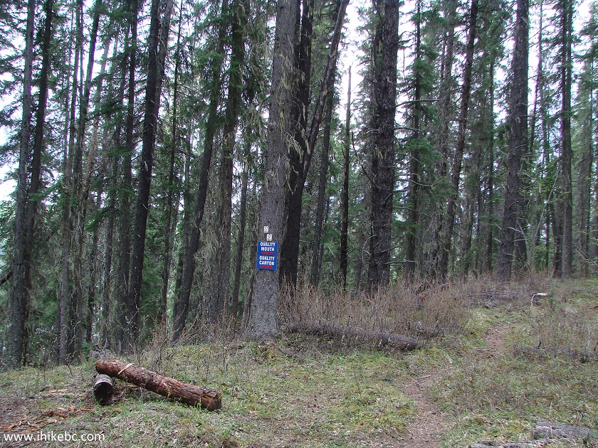
Quality Canyon Trail start of loop - Tumbler Ridge Hiking
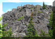
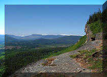
7. Within 10 minutes, we are at the edge of the canyon. The lookout point is a few dozen meters to the left, though it gets rather steep there.
Trail in Tumbler Ridge Area -
Quality Canyon Trail Northeastern BC Canada
8. Here is the path on the left side.
Quality Canyon Trail in the vicinity of Tumbler Ridge BC - Canada Hiking
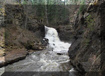
9. And a very neat canyon view very shortly - beware of the drop-off at the viewing area.
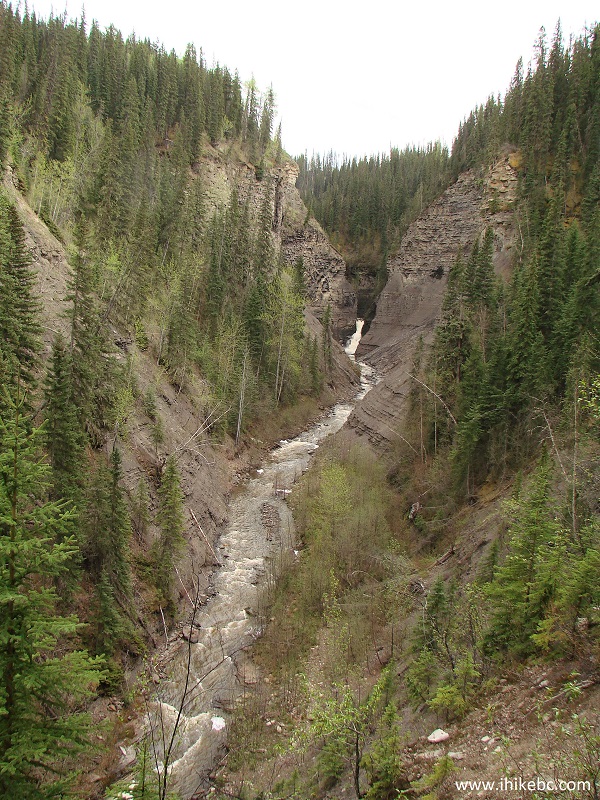
Quality Canyon - Hike in Tumbler Ridge Area
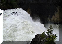
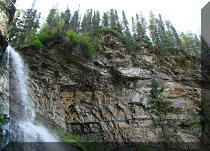
10. Zooming in to check out Quality Falls.
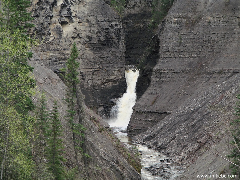
Hike in British Columbia
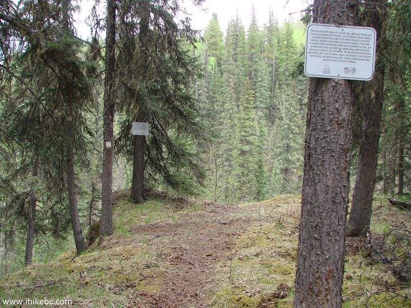
11. Quality Canyon information sign.
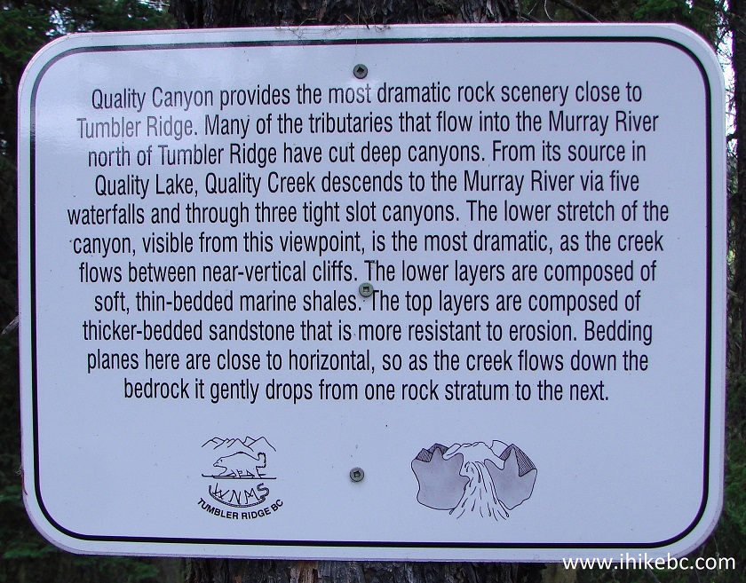
Quality Canyon Information Board
12. We then returned to the point seen in photo #7, and looked down.
Hike in Canada
13. The canyon looked interesting, and there was a rope to assist a bit with a very steep descent, so we went for it.
Tumbler Ridge Hiking - Quality Canyon
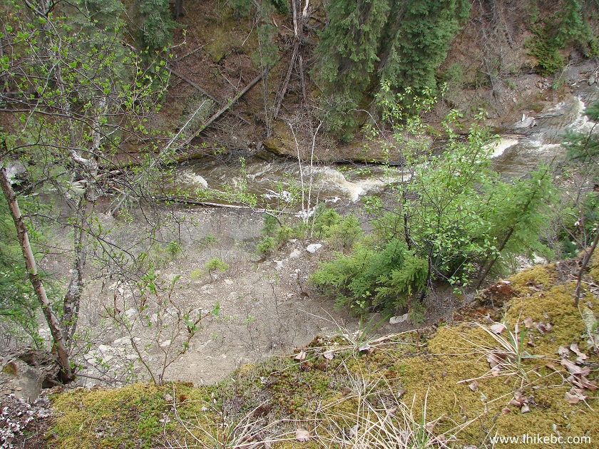
14. It's a little overgrown down there, but our reward was a view of the canyon wall.
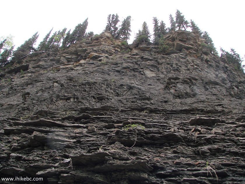
Quality Canyon rock wall - near Tumbler Ridge BC Canada
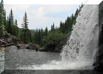
15. We hiked a bit towards Quality Falls, and were stopped by the steepness of the canyon. If you are willing to get your feet wet, it just might be possible to wade straight to the falls (and join the Quality Falls Trail hikers).
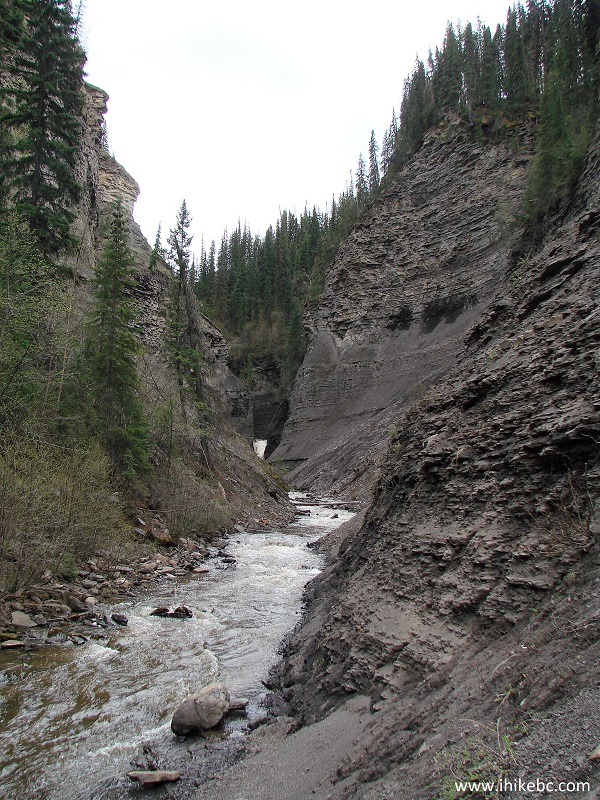
Quality Canyon BC Canada
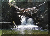
16. Climbing back to the main trail. By the way, it's not possible to continue walking along Quality Creek (in the opposite direction from Quality Falls) for much further than where we descended, as the canyon walls narrow down, and there is a small waterfall there, which we will see shortly.
Hike in British Columbia
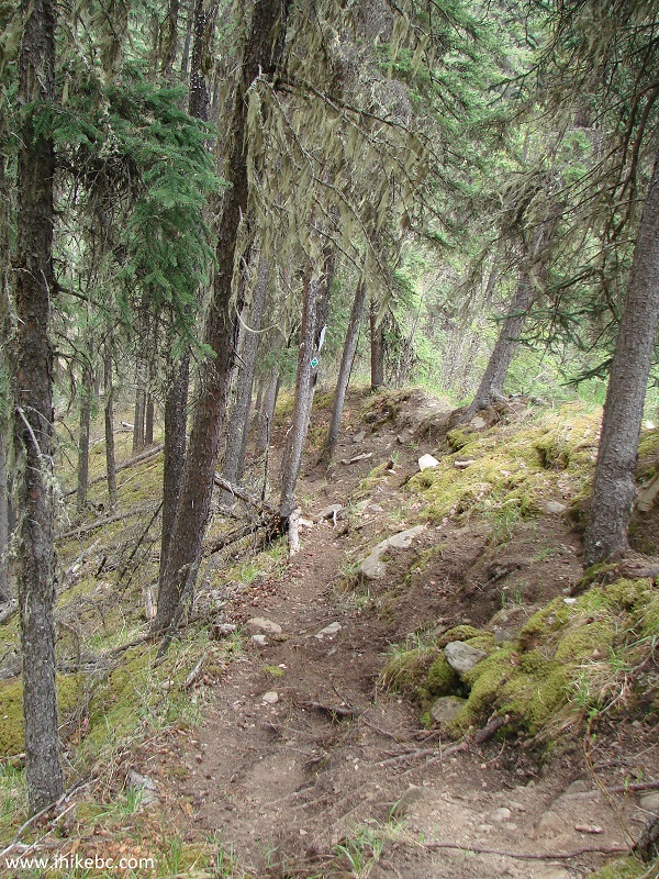
17. Now we are again going down the same path which led to the canyon view seen in photo #9, but this time we kept moving past the lookout to complete the loop via the mouth of Quality Creek.
Quality Canyon Trail British Columbia
18. Several warnings before we step into the bottom of the canyon on the other side of the small waterfall.
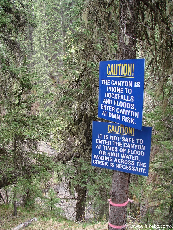
Quality Canyon warning signs
19. The small waterfall.
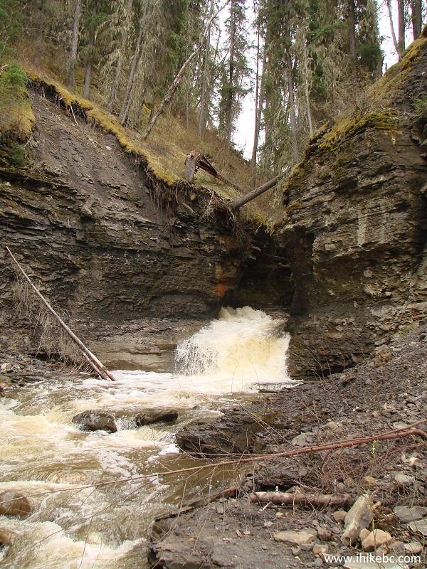
Waterfall at the Quality Canyon near Tumbler Ridge British Columbia
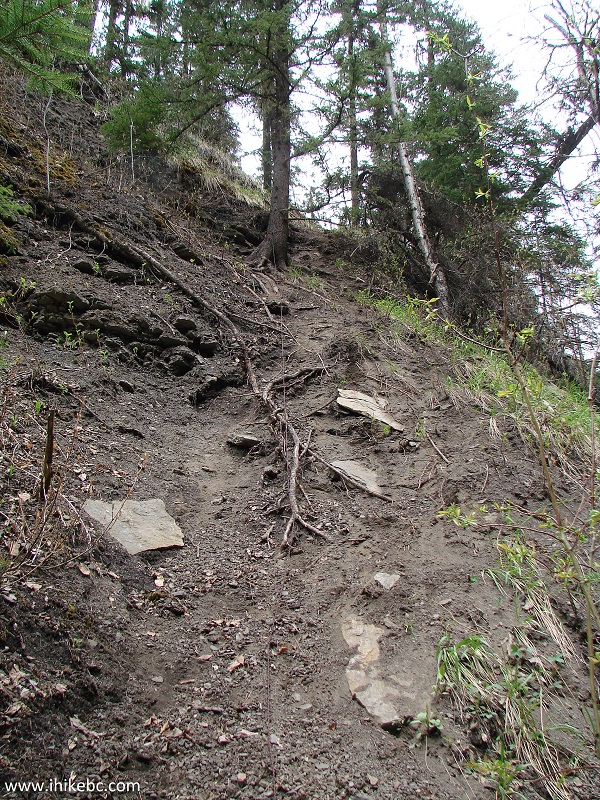
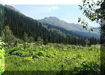
20. Continuing the loop.
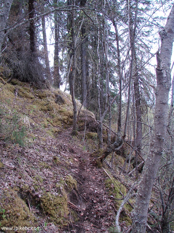
Quality Canyon trail near Tumbler Ridge British Columbia
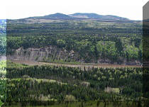
21. Now at the point where Quality Creek meets Murray River.
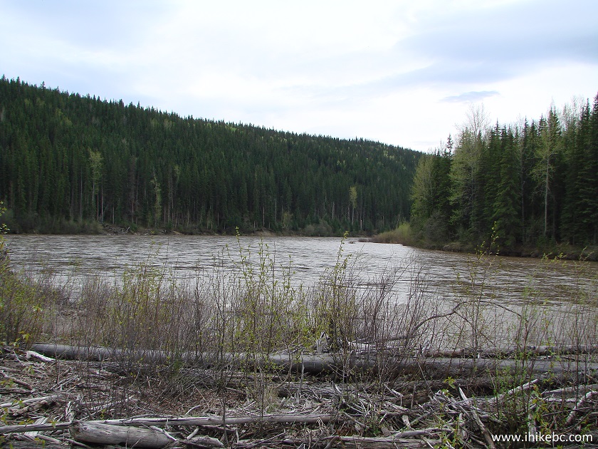
Murray River BC Canada
22. Going forward, this neat bench allows to admire an equally neat view of Murray River.
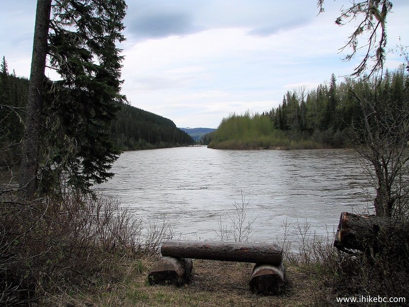
Murray River British Columbia
23. Interesting facts.
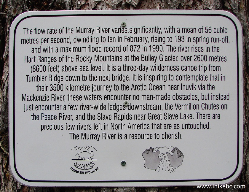
Murray River information board - Northeastern British Columbia Canada
24. And here are the round trip stats for the hike. The total distance was 6.93 km, and we were on the move for 2 hours and 6 minutes.
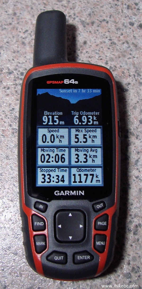
Garmin GPSmap 64s
This trail is recommended for the canyon view, and because Quality Canyon hike can be as easy or as difficult as you want it to be.


|
 |
Other Trips in Tumbler Ridge BC Area:
|
|
|
|
|
|
|
|
|
|
|
|
|
|
|
|
|
Bergeron
Cliffs Hike
|
 |
Stone Corral Trail 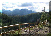 |
|
Windfall Lake Trail
|
 |
Mount Clifford Trail  |
|
Bootski Lake Trail
|
|
Murray Canyon Overlook
|


![]()
![]()
![]()
ihikebc.com Trip 125 - Quality Falls Trail Hike (near Tumbler Ridge BC)