![]()
![]()
![]()

Trip 300 - September 5-6, 2023 (Tuesday-Wednesday)
Coast Trail Hike
East Sooke Regional Park
Near Victoria, BC
Page 1 of 4
Liked:
Numerous fine views of the rugged coastline, many interesting arbutus trees, shade in the forest, no bugs, the ability to hike one way (with a car shuttle).
Of Note: The trail is popular (especially to Beech Head), occasional noise from passing boats, steep unbarricaded drop-offs here and there, uneven ground, rocks and roots, a few short steep stretches – hiking poles and boots are highly recommended.
Vancouver Island, Victoria & Gulf Islands Backroad Mapbook (9th edition) Coordinates: Page 4 (Sooke) C5-C6.
Related Website: East Sooke Regional Park - CRD Official Website.
Follow @ihikebc TweetEast Sooke Regional Park is a very large regional park located on Vancouver Island, about 35 kilometers West of Victoria. There are numerous trails in the park, mostly going through the woods, but the most scenic aptly named Coast Trail runs along the coast of Salish Sea for over 10 kilometers. There are trailheads at both end of Coast Trail, thus making it possible to hike it one way with the help of a car shuttle. Doing a return trip of about 21 kilometers is possible as well, though the terrain, despite not being terribly complicated, is still challenging enough and is not very conducive to fast hiking, with several large moderately challenging hills.
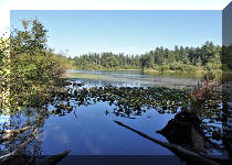
A pleasant bonus was observing seals swimming along the coast at various parts of the trail. We even saw a seal enjoying a sun bath while chilling on a rock, but it heard us and took off before we could take a photo.
There is a Trap Shack close to the middle point of Coast Trail, so on September 5th we hiked West from Aylard Farm parking lot to the shack and back. The next day we hiked from the other end of the trail (off Silver Spray Drive) to the same spot and back, thus hiking the entire trail.
Please, note that there is a private real estate development in progress at the end of Silver Spray Drive, and access can be closed at any time. In this case, use Pike Road entrance, which would extend access to the western end of Coast Trail by about one kilometer one way.
The first two pages of this trip report are dedicated to the September 5th hike from Aylard Farm parking lot west to a Trap Shack and back (5.4 km one way), and the last two pages describe the hike east and back (5.22 km one way) which we had the following day. There are definitely more people heading west from Aylard Farm parking lot, and the trail would likely be quite busy during the main hiking season, so come off-season (elevation above sea level is minimal, and hiking should be possible for much of the year), or start from the western end and turn around at the Trap Shack to avoid the crowds.
* All trail distances are based on a GPS odometer and are approximate.
1. Here is a Google Maps location of East Sooke Regional Park - Aylard Farm parking lot.
2. We are at the end of Becher Bay Road, at the entrance of East Sooke Regional Park - Aylard Farm parking lot. Coordinates: N 48⁰19.601’ W 123⁰38.359’. Elevation: 30 meters.
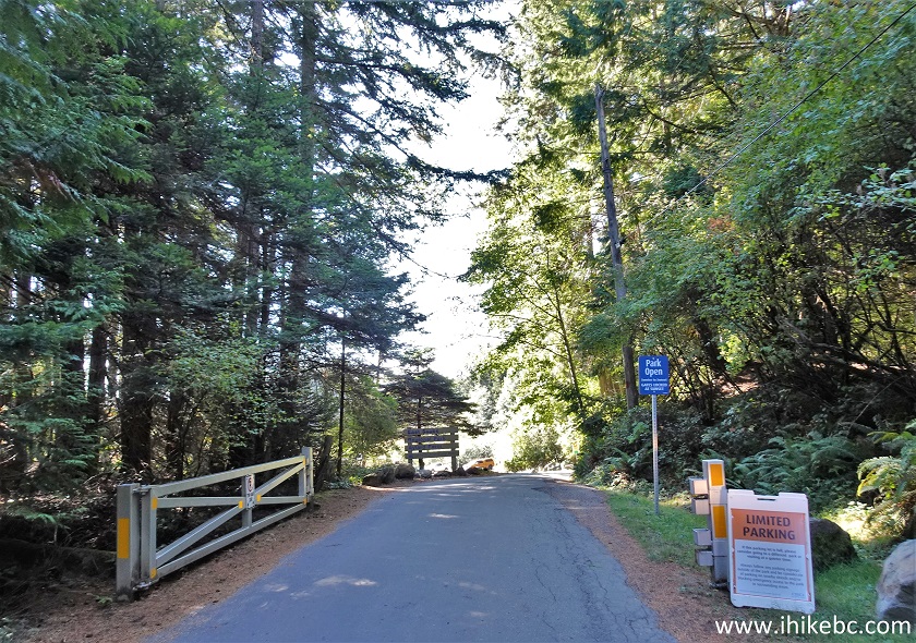
Becher Road entrance to East Sooke Regional Park - Aylard Farm parking
lot
3. Parking lot could be full in busy times.
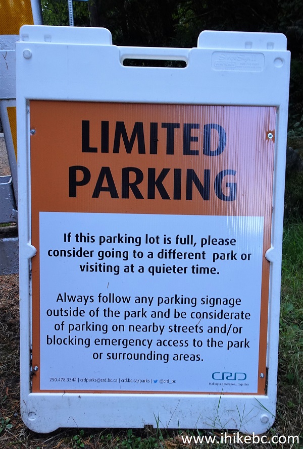
East Sooke Regional Park - Aylard Farm limited parking notice
4. Park entrance sign.
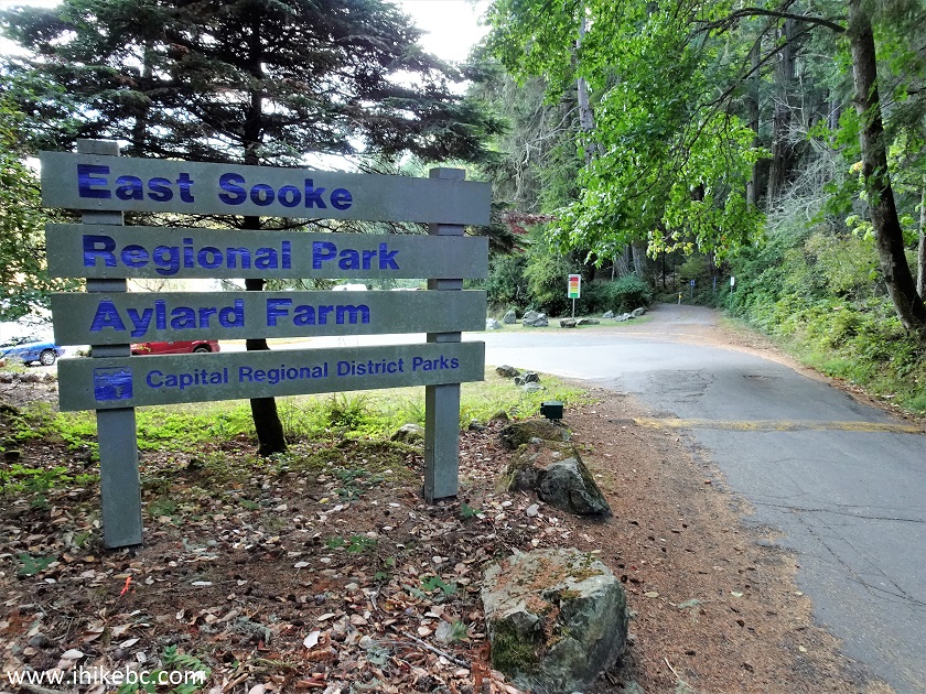
East Sooke Regional Park Aylard Farm Entrance
5. The parking lot is good for 50-60 vehicles.
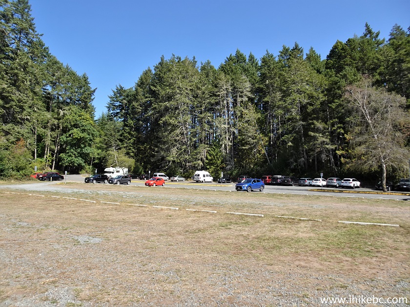
East Sooke Regional Park Aylard Farm parking lot
6. Here is a map of Capital Regional District's parks. We have indicated East Sooke Regional Park with a red square.
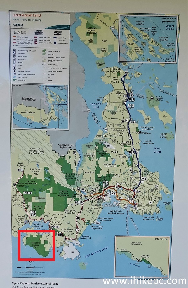
Map of Capital Regional District parks Vancouver Island BC
7. And here is a map of East Sooke Regional Park. We have indicated Aylard Park lot with a red square, and the western end of Coast Trail (off Silver Spray Drive) with a blue square. Blue arrows point to Coast Trail itself. Numerous other trails are available in this park as well.
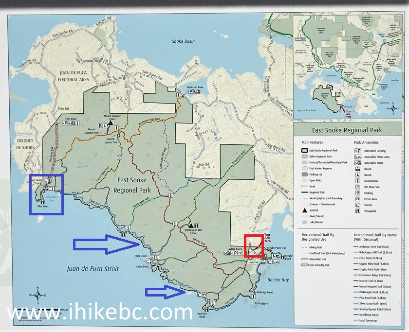
East Sooke Regional Park map
8. There are several paths leading to Coast Trail from the Aylard Farm parking lot. We took the path on the left side of the lot.
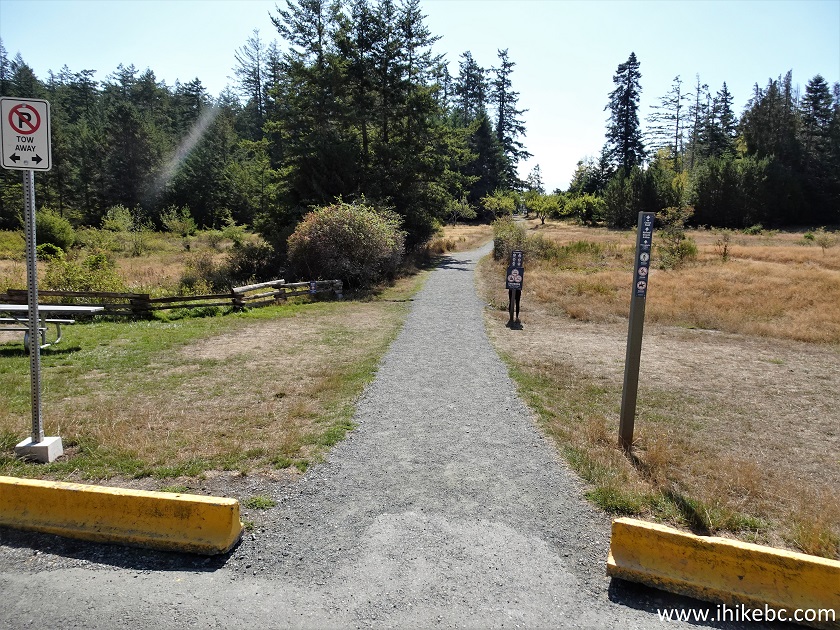
East Sooke Regional Park near Victoria British Columbia
9. There is a gazebo 200 meters from the parking lot.
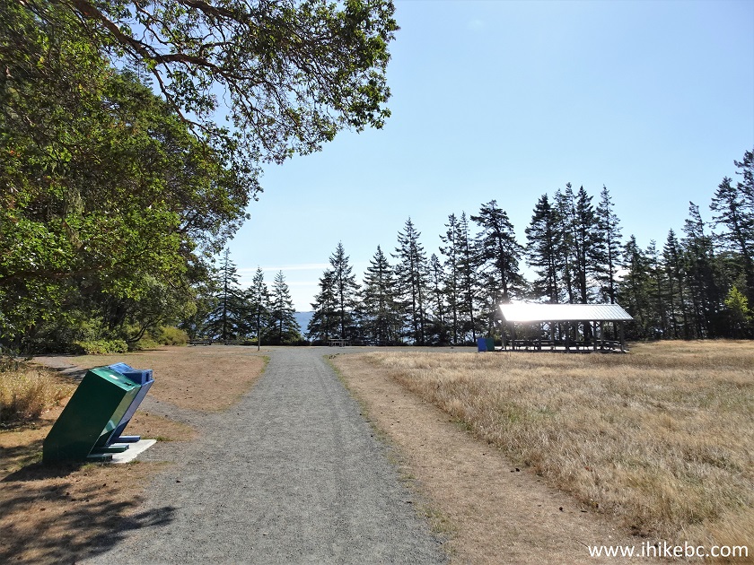
East Sooke Regional Park gazebo
10. Make a right turn and continue West along the coast.
East Sooke Regional Park British Columbia Canada
11. At 460 meters from the parking lot.
Hike in Victoria BC Area - Coast Trail
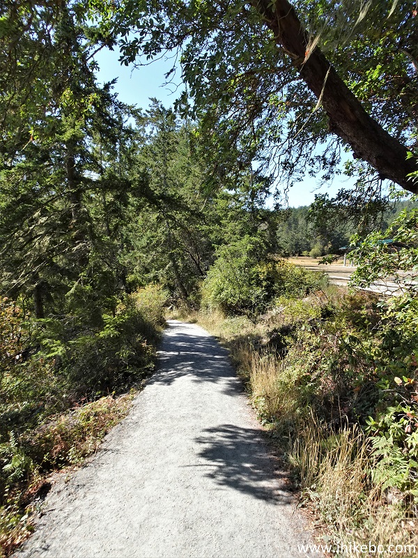
12. 50 meters later. It's a neat hike around here, very easy. Quite a few people too.
Coast Trail in East Sooke Regional Park
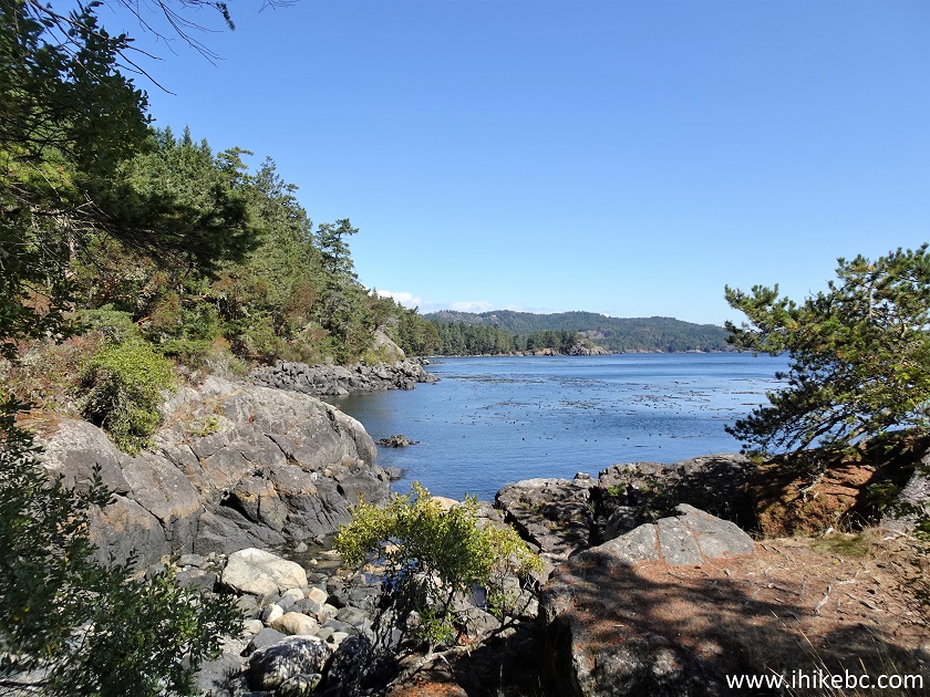
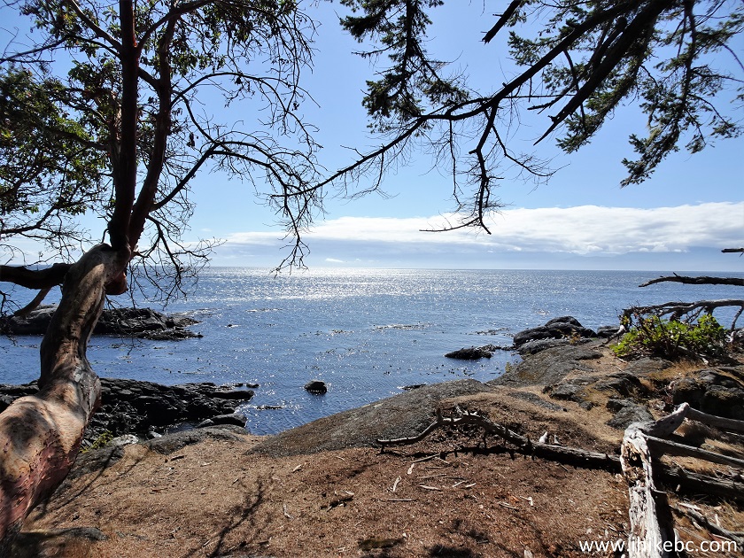
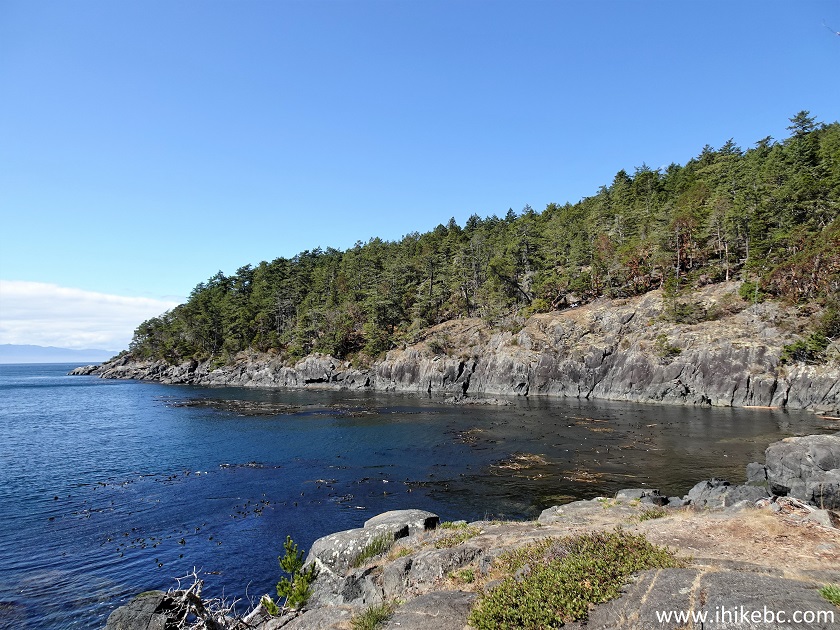
13. A fine coastline view arrives at the 850 meter mark of the trail.
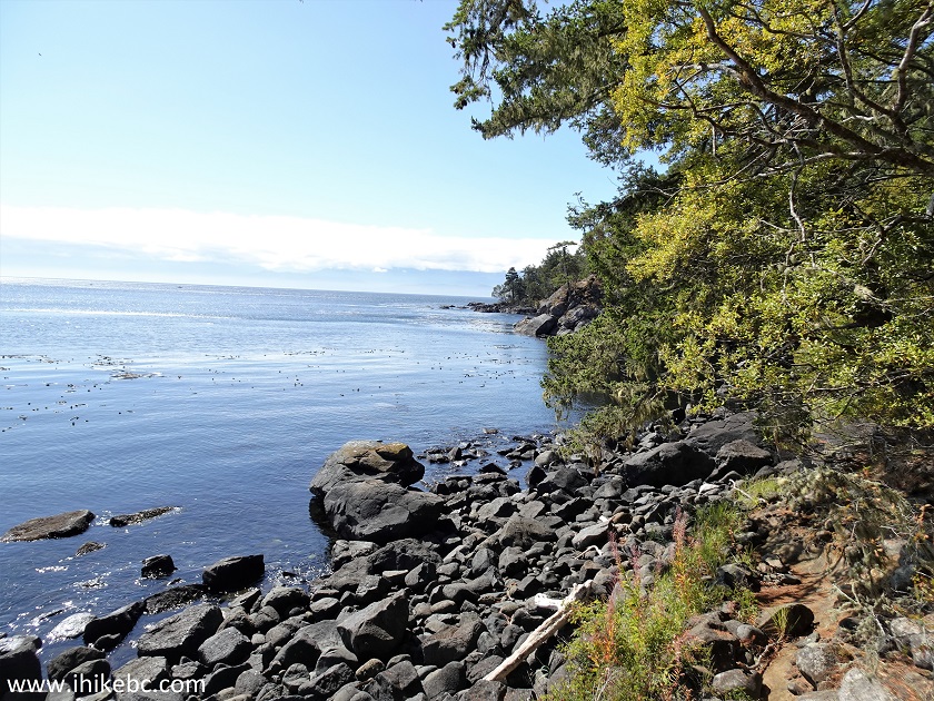
Coastline view in East Sooke Regional Park
14. Now at the 1.21 km mark of Coast Trail in East Sooke Regional Park.
Hike in East Sooke Regional Park - Coast Trail
15. 200 meters later.
View from Coast Trail in East Sooke Regional Park near Victoria BC
16. There are many arbutus trees along Coast Trail, like this leaning one at the 1.27 km mark.
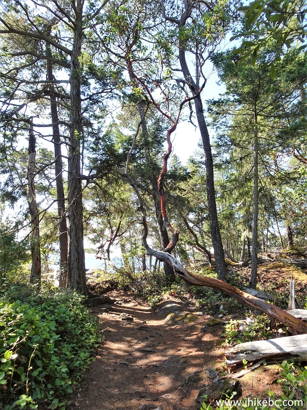
Arbutus Tree in East Sooke Regional Park
17. At 1.29 km, those who like petroglyphs might find some in this area.
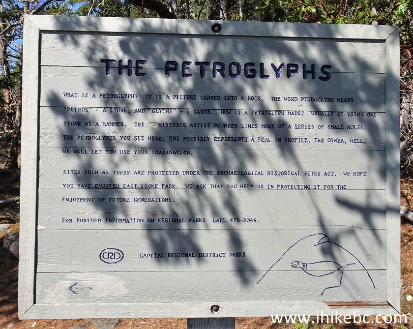
The Petroglyphs information sign in East Sooke Regional Park
18. The map shows our current location.
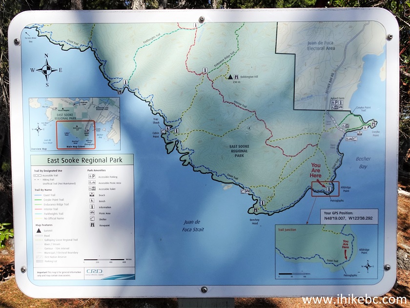
East Sooke Regional Park Coast Trail Map
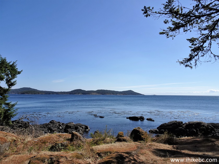
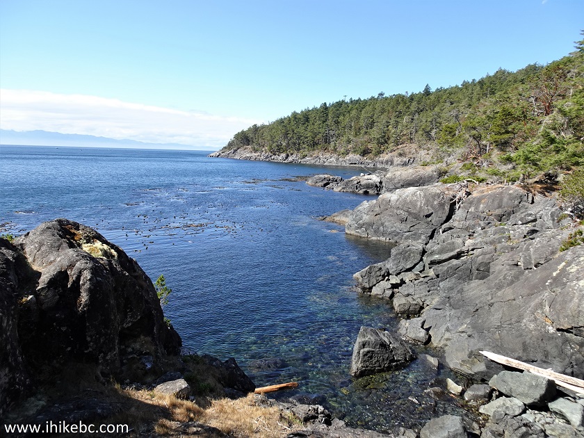
19. A very fine view at 1.33 km of Coast Trail.
Coast Trail British Columbia Canada
20. Gets even better 700 meters later.
View from East Sooke Regional Park Coast Trail near Victoria Canada
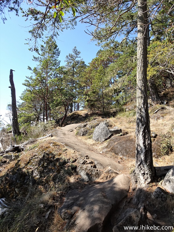
21. A small hill at 1.44 km of Coast Trail.
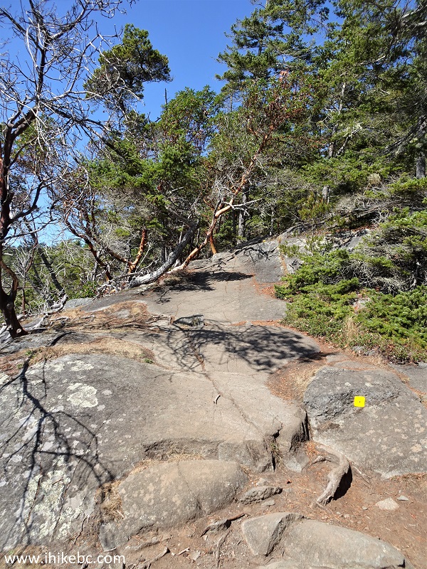
Hiking Coast Trail in East Sooke Regional Park
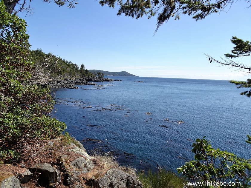
22. And another good view at the 1.60 km mark.
Coast Trail hike in Victoria BC area
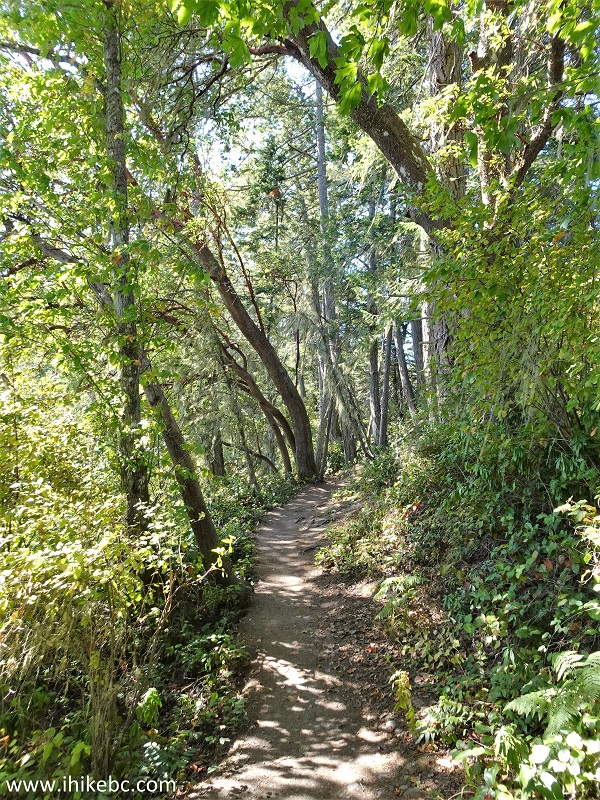
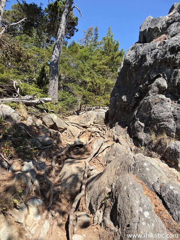
23. At 1.69 km, we are back in the forest.
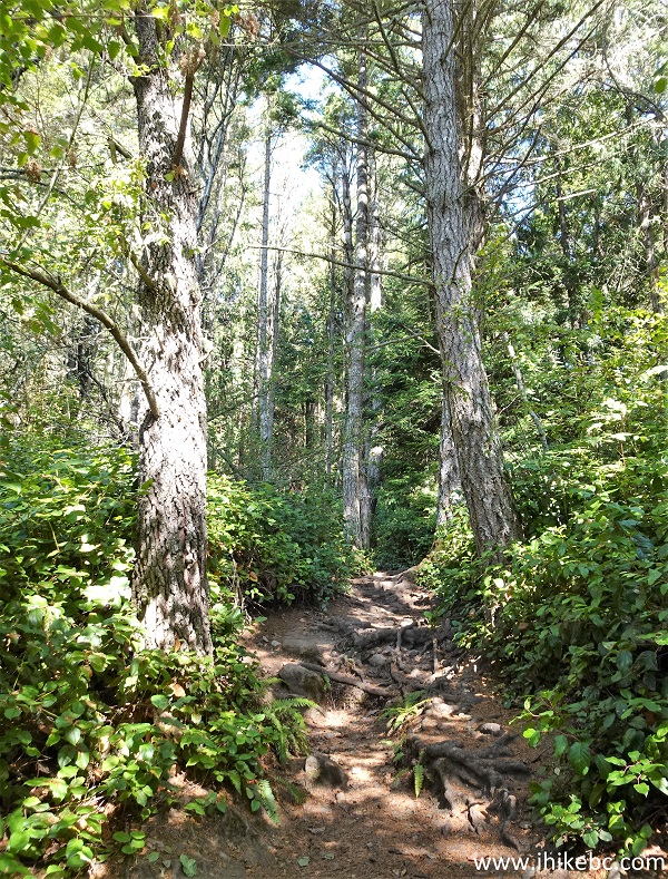
East Sooke Regional Park
24. Now looking back at 1.92 km of Coast Trail.
View from Coast Trail in East Sooke Regional Park British Columbia
25. 300 meters later, we are climbing another small hill.
Coast Trail in Victoria British Columbia area
26. A cool arbutus tree pretends to be a rainbow at 2.34 km.
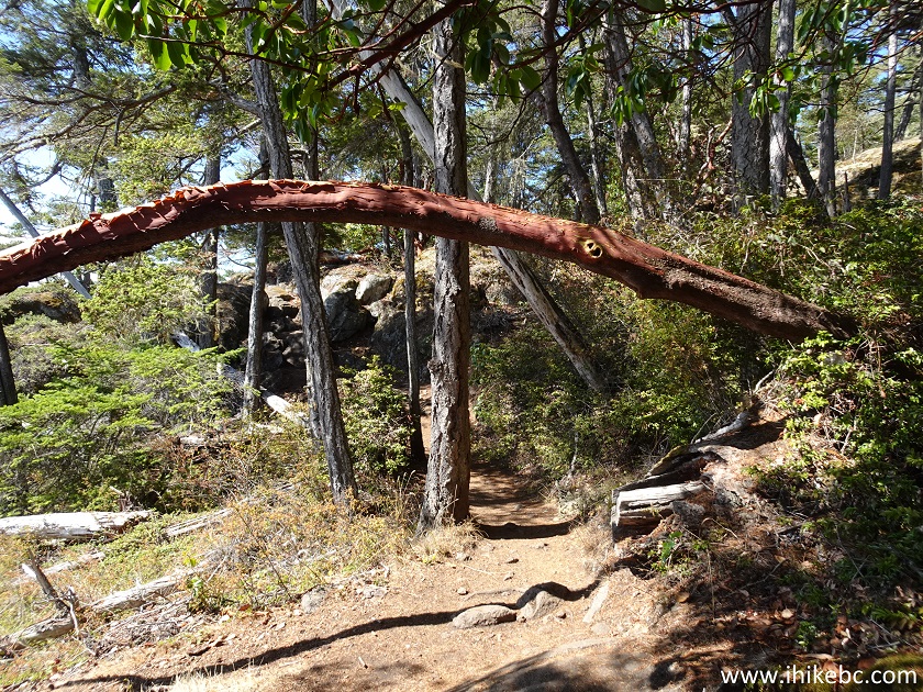
Arbutus tree
27. Now at the 2.44 km mark of Coast Trail in East Sooke Regional Park on Vancouver Island.
East Sooke Regional Park Coast Trail
28. Looking good - 2.57 km from the parking lot.
View from Coast Trail in the vicinity of Victoria British Columbia
Canada
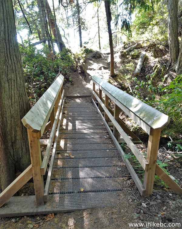
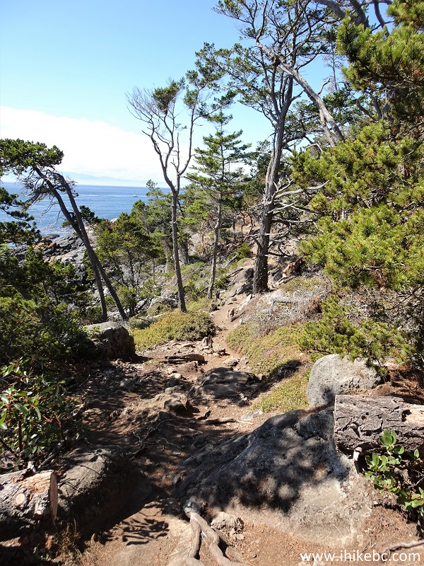
29. A slightly challenging stretch at 2.62 km.
Moderately difficult stretch of Coast Trail
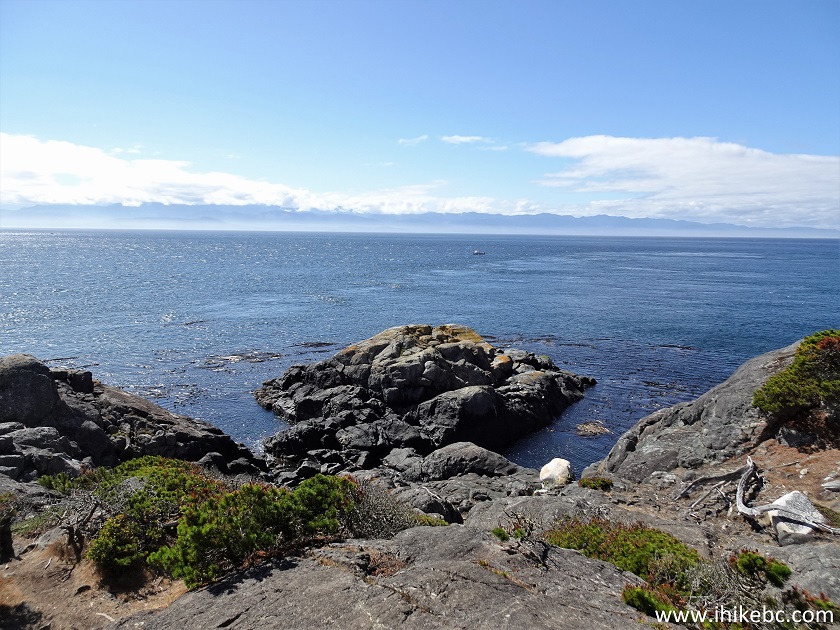
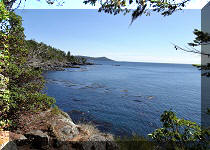
30. And another fine view of Vancouver Island coastline at the 2.68 km mark.
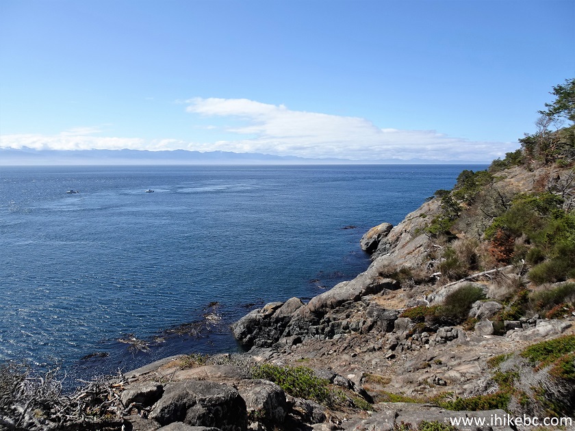
Vancouver Island coastline view from Coast Trail in East Sooke Regional
Park
Our Coast Trail Hike trip report Continues on Page 2.


|
 |
Other Trips in Victoria BC Area:
|
|
|
|
|
|
|
|
|
|
|
|

![]()
![]()
![]()
ihikebc.com Trip 300 - Coast Trail in East Sooke Regional Park (near Victoria, BC)
Page 1 of 4