![]()
![]()
![]()

Trip 298 - September 2, 2023 (Saturday)
Elk/Beaver Lake Regional Park Visit
Near Victoria, BC
Of Note: Remote traffic noise all trail long, moderate traffic noise for some of the trail, water ski noise for much of the trail, the trail is popular, cyclists and horse riders are allowed on some parts of the trail, horse manure hazard.
Vancouver Island, Victoria & Gulf Islands Backroad Mapbook (9th edition) Coordinates: Page 5 (Victoria) A2.
Related Website: Elk/Beaver Lake Regional Park - Official Website.
Follow @ihikebc TweetElk/Beaver Lake Regional Park is located on Vancouver Island's Saanich Peninsula, about 15 km North of the city of Victoria, and 25 km South of Swartz Bay Ferry Terminal. It is, basically, a large lake, which, for some reason, has two names - the upper part is called Elk, and the lower is Beaver. There are several beaches, a boat launch, a small fishing pier, and a loop path of about 10 km long around the lake.
Despite a very pleasant hiking environment, the traffic noise from Highway 17 is ever-present, if mostly remote for much of the hike. The real downer, however, was a terrible noise from jet skis (or water skis). They are very loud to begin with, and then one water skier decided he wanted to hear some music too, so he blasted a radio (or whatever it was) while enjoying his ride, so a whole lot of the rest of the lake visitors (literally hundreds of them) had to listen to the music too, in addition to the noise of several jet skis. The good news is that the jet skis (mostly) stick to the water ski launch area, so about half of the hike (5 km or thereabouts) is relatively quiet, though the traffic noise, however remote, is still there.
* All trail distances are based on a GPS odometer and are approximate.
1. Here is a Google Maps location of Elk/Beaver Lake Regional Park.
2. We are on Vancouver Island, northbound on Highway 17, about 15 km North of Victoria, just past Piedmont Drive, getting ready to turn left to Elk/Beaver Lake Regional Park - Eagle Beach access road.
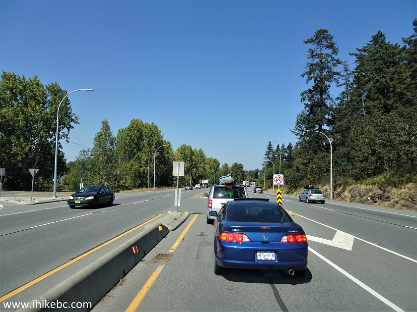
Vancouver Island Highway 17 near Piedmont Drive
3. The access road is about two hundred meters long, and Eagle Beach is one of several access points to this park.
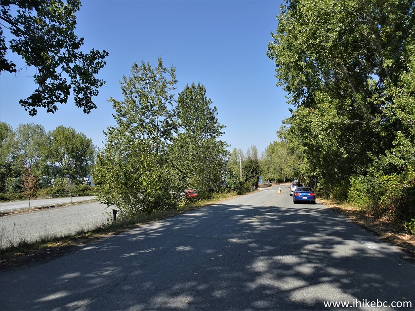
Eagle Beach Access Road- Elk/Beaver Lake Regional Park near Victoria BC
4. Here is the entrance to Eagle Beach access point, with a fairly small main parking lot just behind this fence. Coordinates: N 48⁰31.442’ W 123⁰23.241’. Elevation: 65 meters. The beach is about 50 meters further.
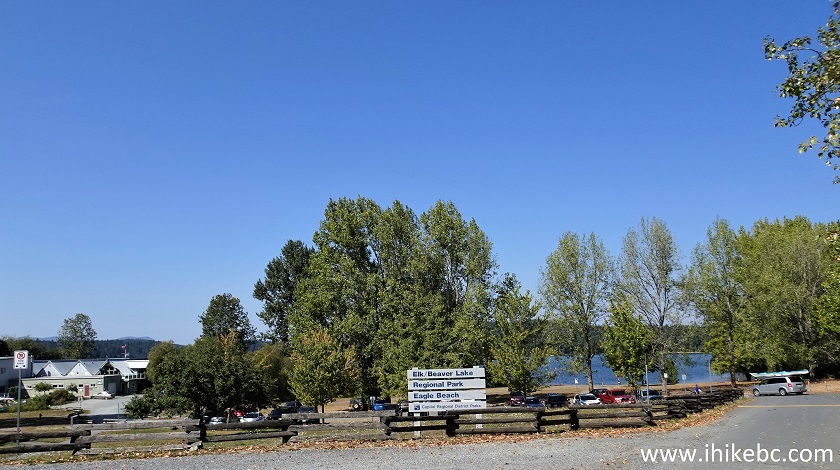
Elk/Beaver Lake Eagle Beach access point
5. If needed, this large overflow lot is available too. Good for large RV parking.
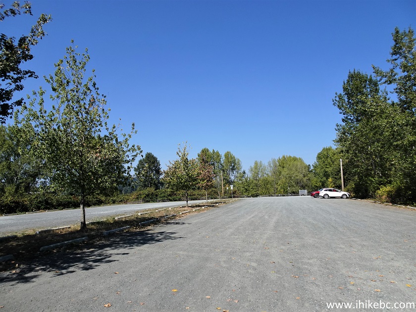
Elk/Beaver Lake Regional Park Eagle Beach overflow parking lot
6. The lake is straight ahead, with the path around the lake going by an information stand.
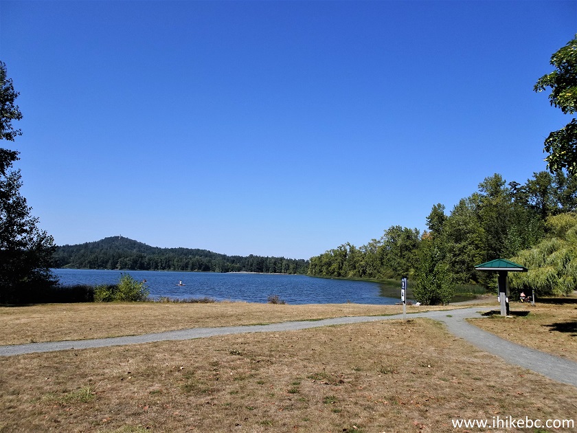
Elk/Beaver Lake Regional Park on Vancouver Island
7. The info stand has this map of Greater Victoria regional parks. We have indicated Elk/Beaver Lake Regional Park with a red square. The yellow square is showing the location of Island View Beach Regional Park, which we visited earlier this year.
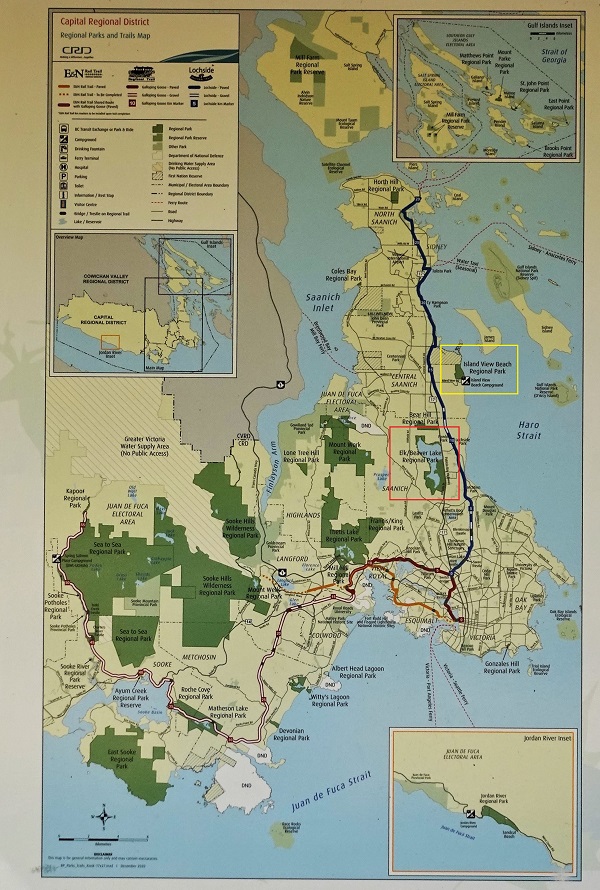
Map of Greater Victoria Regional Parks
8. There is also a map of Elk/Beaver Lake Regional Park. The red square shows the start of our hike at Eagle Beach access point.
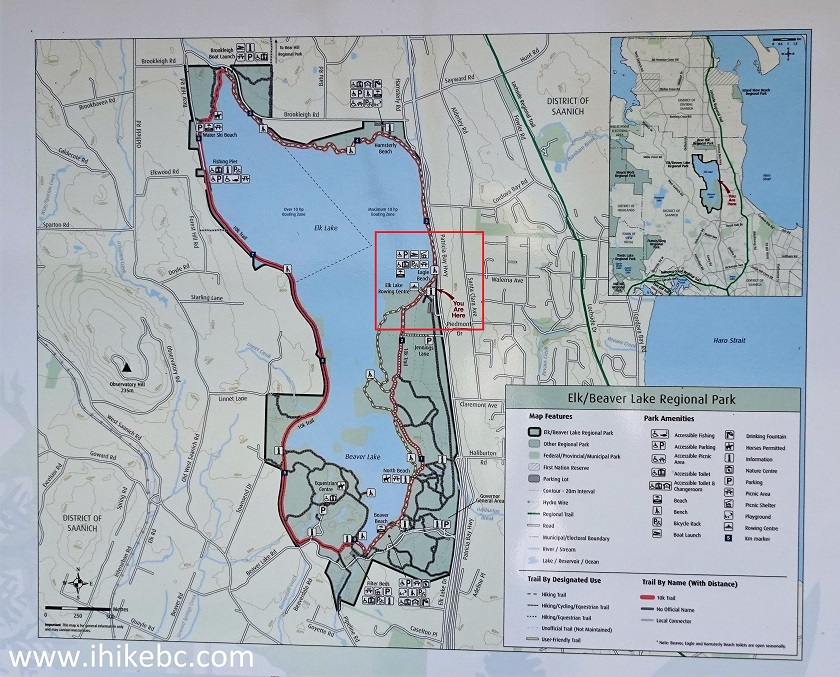
Map of Elk/Beaver Lake Regional Park
9. Our loop hike of about 10 km long begins. Going North (counter-clockwise). We are between km 2 and 3 of the loop here (there are markers each kilometer of the trail).
Elk/Beaver Lake Regional Park near Victoria British Columbia
10. This is the Elk Lake (upper) part of Elk/Beaver Lake.
Elk Lake Vancouver Island BC
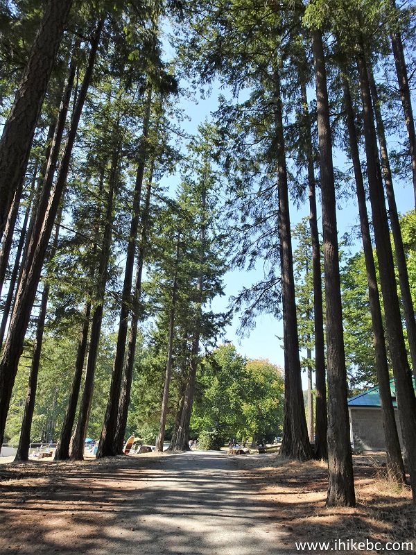
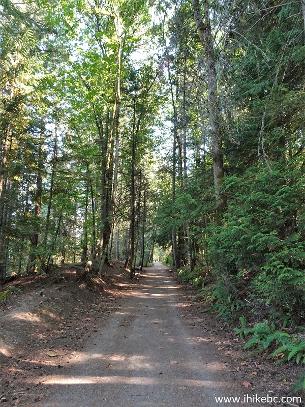
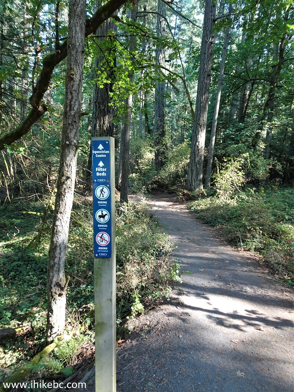
11. The path goes through a fine forest much of the time. At 105 meters from Eagle Beach here.
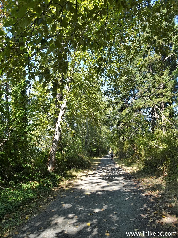
Elk/Beaver Lake Regional Park hiking path
12. At 720 meters, we are approaching Hamsterly Beach.
Hiking near Victoria BC in Elk/Beaver Lake Regional Park
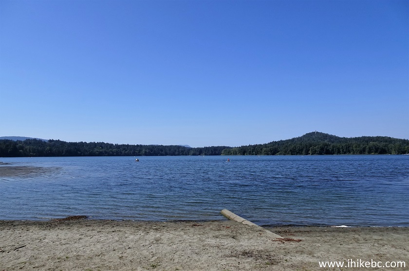
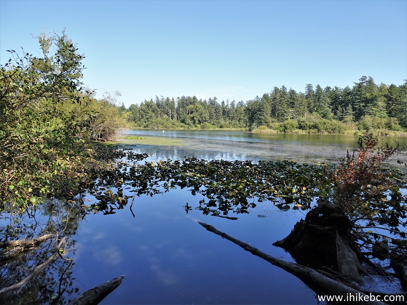
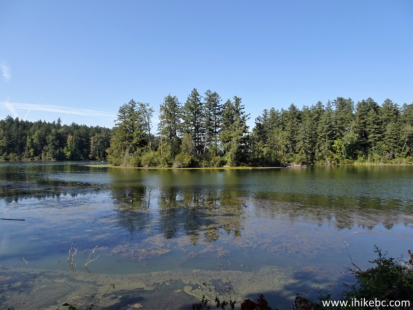
13. A fine view of Elk/Beaver Lake.
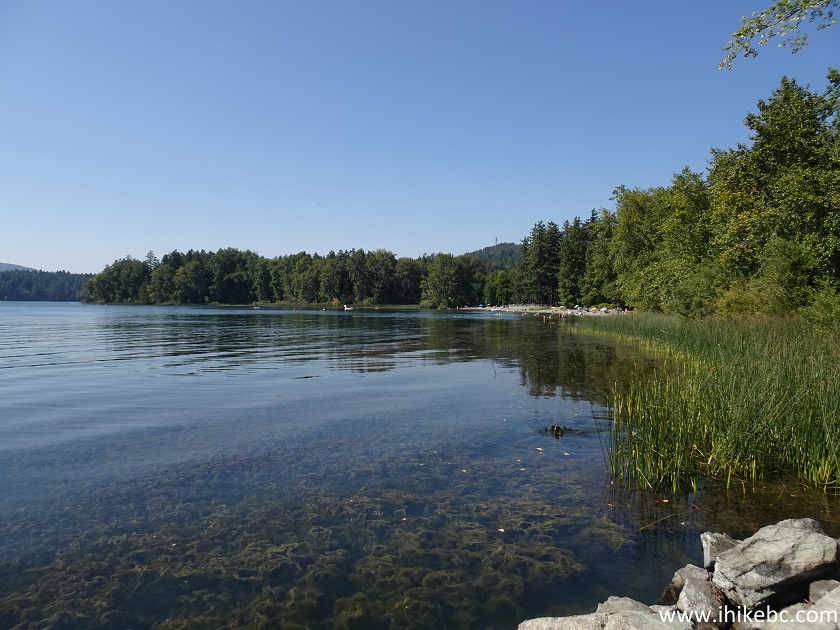
Elk Lake near Victoria BC Canada
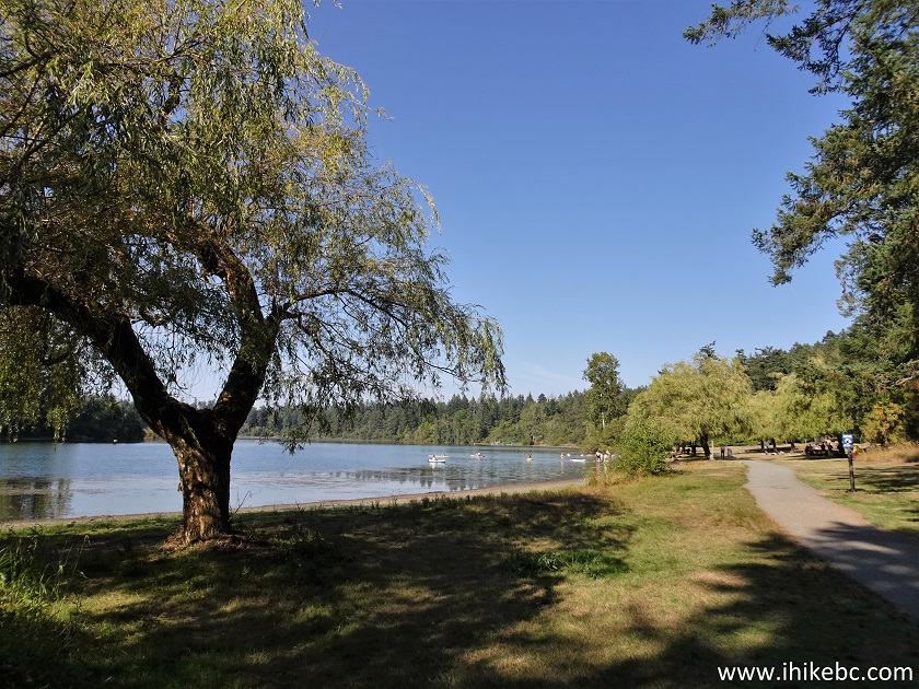
14. Hamsterly Beach. Quite popular.
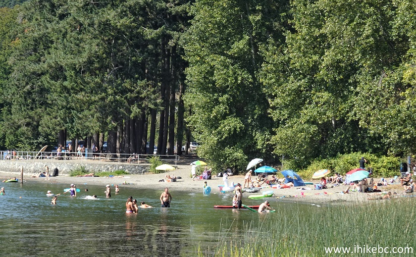
Hamsterly Beach in Elk/Beaver Lake Regional Park
15. Just past Hamsterly Beach. 1.11 km from Eagle Beach.
Hiking in Elk/Beaver Lake Regional Park
16. At the 1.95 km mark, there is this good view of the lake...
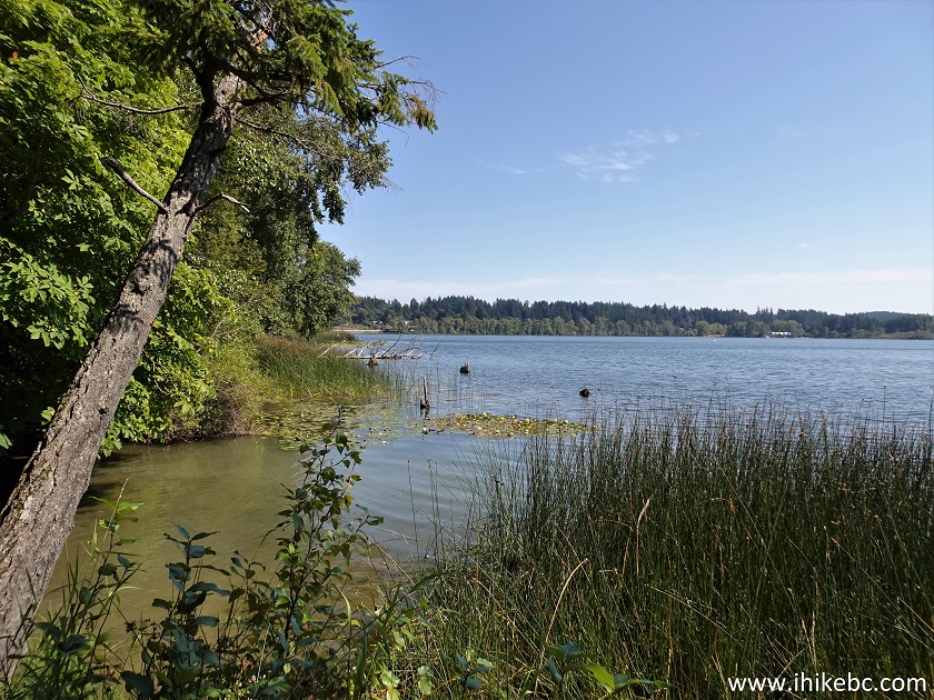
Elk/Beaver Lake Regional Park
17...as well as a very impressive house right across.
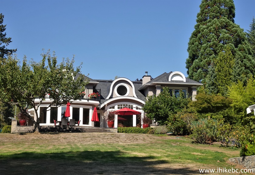
House by Elk/Beaver Lake Regional Park
18. Elk/Beaver Lake Regional Park hiking trail 2.40 km from Eagle Beach.
Elk/Beaver Lake Regional Park Hiking in Victoria BC Area
19. At 2.73 km, we have reached the boat launch parking lot.
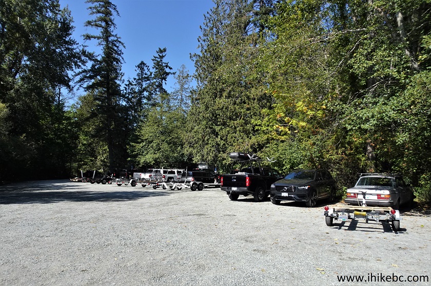
Elk/Beaver Lake Regional Park Boat Launch parking lot
20. Elk/Beaver Lake boating regulations.
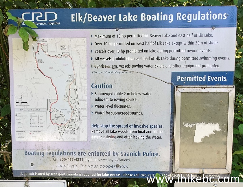
Elk/Beaver Lake boating regulations
21. Elk/Beaver Lake boat launch ramp.
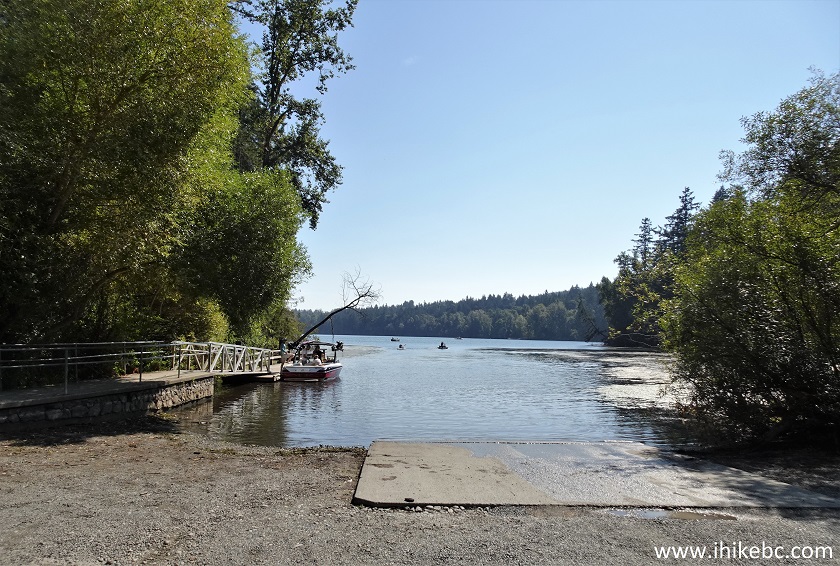
Elk/Beaver Lake boat launch ramp
22. The path continues past the boat launch.
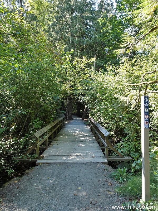
Hiking in Elk/Beaver Lake Regional Park on Vancouver Island British
Columbia Canada
23. At 3.60 km mark, we are just past Water Ski beach, where those loud jet skis launch from. The path briefly proceeds on Bear Hill Road.
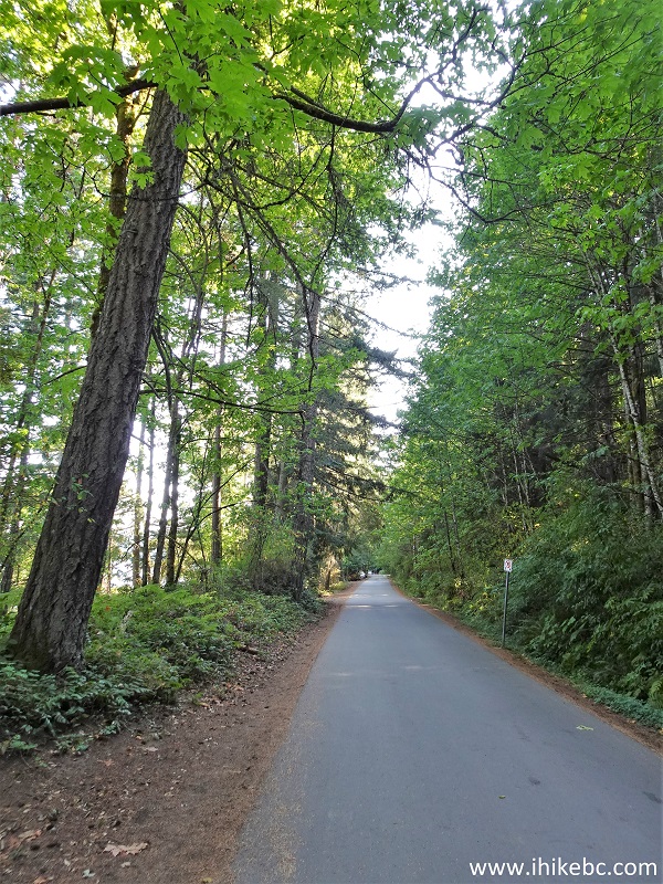
Bear Hill Road in Elk/Beaver Lake Regional Park
24. Bear Hill Road ends several hundred meters later at a small fishing pier. A washroom is available here, just like at Eagle Beach and several other places. The hiking path continues straight ahead, and fishing pier access is on the left side.
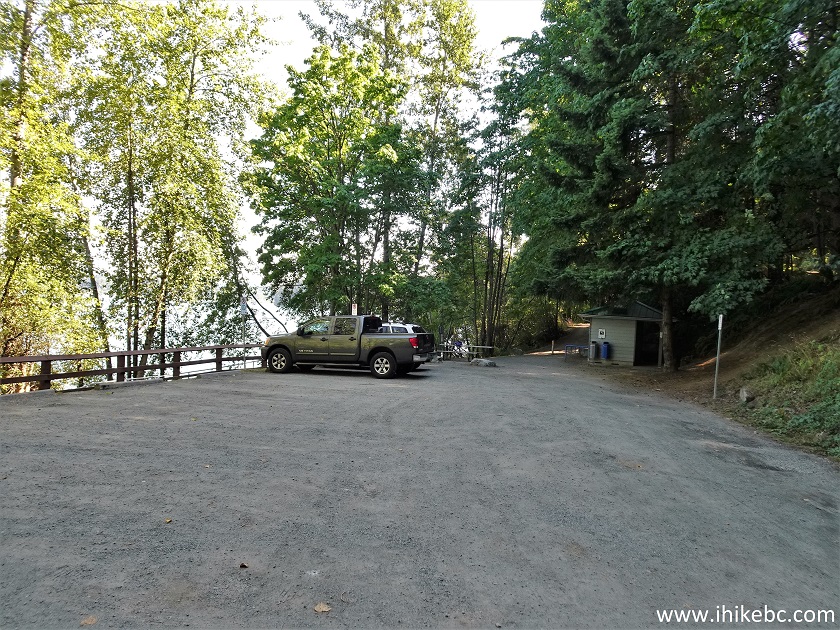
End of Bear Hill Road - Elk/Beaver Lake Regional Park in Greater
Victoria British Columbia
25. A short ramp to the fishing pier.
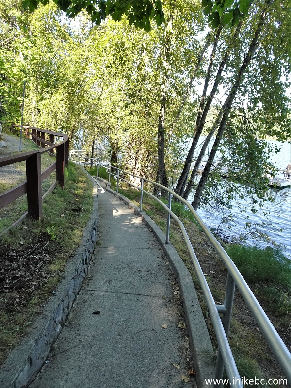
Elk/Beaver Lake Regional Park ramp to the fishing pier
26. Elk/Beaver Lake fishing pier at the end of Bear Hill Road.
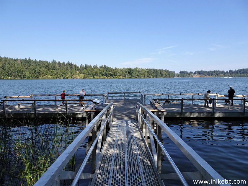
Elk/Beaver Lake Regional Park fishing pier
27. Is sure wasn't a serene fishing experience today, with several jet skiers having a good time in the area. Four to five people were enjoying jet skiing while hundreds of others around the lake were forced to listen to their revving engines (and blasting music from one of the jet skiers). There were several boats making engine noises too, but it wasn't nearly as loud.
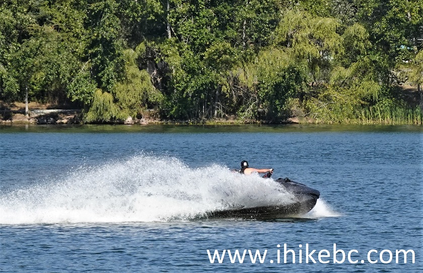
Loud jet ski in Elk/Beaver Lake Regional Park
28. Here is another photo of the map of Elk/Beaver Lake Regional Park, with a "you are here" arrow at the top showing the location of the fishing pier.
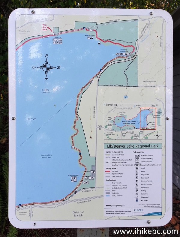
Elk/Beaver Lake Regional Park Map
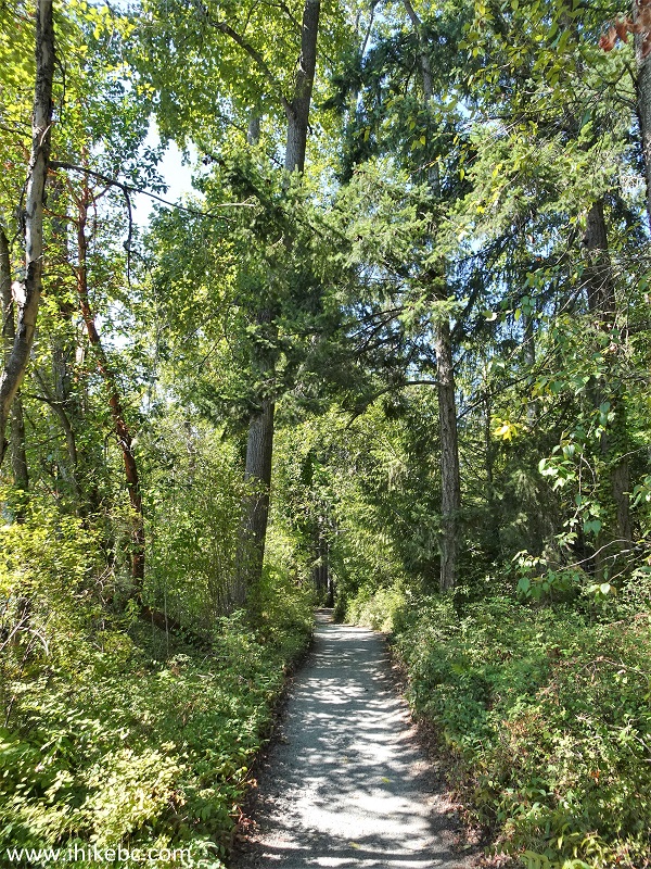
29. At 4.34 km from Eagle Lake, the path is again going through a fine forest. The jet ski noise became less pronounced the further we went. The remote (and not-so-remote) traffic noise was always present throughout the hike.
Elk/Beaver Lake Regional Park hiking path
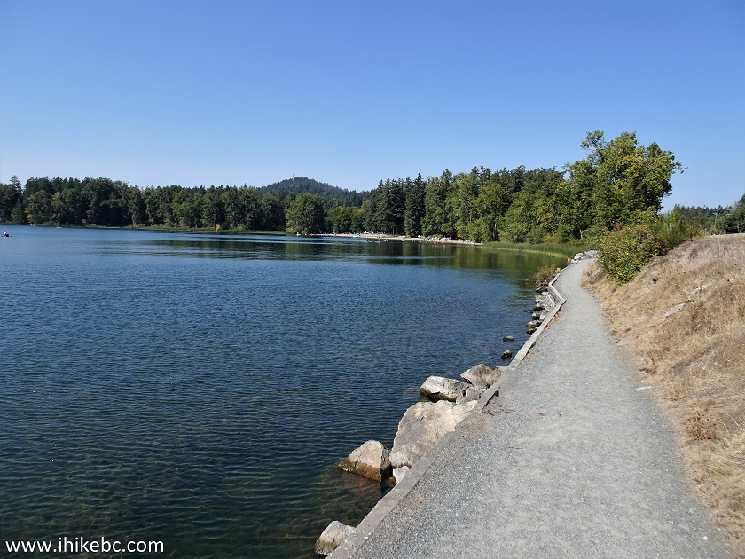
30. A neat view of Elk/Beaver Lake at the 6.10 mark from Eagle Beach.
Elk/Beaver Lake Regional Park British Columbia Canada
31. A few splits follow a bit later, like this one at 6.70 km from Eagle Beach. Keep to the left each time to complete the loop hike.
Elk/Beaver Lake Regional Park loop hike
32. Another impressive view arrives at 7.13 km. This is now the Beaver part of the lake.
Beaver Lake in Elk/Beaver Lake Regional Park near Victoria BC Canada
33. And here we are at 8.03 km from Eagle Beach, with the loop trail leading to where we parked several kilometers further down the path.
Hiking in Elk/Beaver Lake Regional Park
Elk/Beaver Lake Regional Park is a decent hiking destination despite the traffic hum, with a pleasant forest and several good views. Alas, the noise from the jet skis makes it a rather unappealing destination. Recommended only if jet ski riders are having a day off.


|
 |
Other Trips in Victoria BC Area:
|
|
|
|
|
|
|
|
|
|
|
|
![]()
![]()
![]()
ihikebc.com Trip 298 - Elk/Beaver Lake Regional Park Visit (near Victoria, BC)