![]()
![]()
![]()

Trip 183 - May 15, 2020 (Friday) and October 3, 2023 (Tuesday)
McGillivray Creek Trail Hike
Between Lytton and Lillooet BC Canada
Page 1 of 2
Trailhead
Location: 9.4 km of McGillivray FSR, which
starts off BC Highway 12, approximately 30 kilometers South of Lillooet
and 35 km North of Lytton.
Liked: Several fine mountain views, a neat sub-alpine, shade in the forest, no bugs.
Of Note: Remote wilderness area. Lots of snow on the trail until late in the season, some manure on the trail, a few fallen trees, several steep stretches with loose stones. Hiking poles and boots are essential. Navigation could be difficult at times - a GPS is highly recommended.
Vancouver, Coast & Mountains BC Backroad Mapbook (2nd edition) Approximate Trailhead Coordinates: Page 44 (Lillooet) C7.
Another Trip off McGillivray Creek FSR: BC Highway 12 Valley Lookout Trail.
We found out about McGillivray Creek Trail from the second edition of "Canyon to Alpine" book, describing hikes in the Lillooet area. The book promised good views, and so we went. The access to the trailhead is via a deactivated McGillivray Creek Forest Service Road. This FSR is in decent shape but, alas, at the 6.1 mark there was a slide in May of 2020 (fixed as of October 2023), which would have stopped all but very capable 4x4 vehicles and ATVs. Fortunately, the trailhead was not too far from the slide, but it did add almost 7 kilometers round-trip hiking in May of 2020.
There are several creek crossings on McGillivray Creek Trail. The creek was narrow enough that no wading was required, so our flip-flops remained in the backpack, but hiking poles proved very useful in jumping over those creek crossings. There were no signs or flagging tape, and the trail, at times, disappeared, but the direction of travel was, mostly, quite obvious.
On May 15th, because of deep snow and an extra 3.4 km we had to hike to the trailhead, we did not get to the end, though there were still some decent views to be had. However, the main attraction of the hike was still ahead of us, so we decided to return. Thus, the first page of this trip report describes our May 15th hike, while the second page talks about the rest of the trail, which we visited on October 3, 2023.
*All trail distances are based on a GPS odometer and are approximate.
1. Here is a Google Maps location of Highway 12 between Lytton and Lillooet. If driving from Lytton, McGillivray Creek FSR turnoff would be approximately 35 km down the highway. If driving from Lillooet, then about 30 km.
2. McGillivray Creek Forest Service Road, which leads to the trailhead, starts off BC Highway 12, approximately 30 kilometers South of Lillooet, and 35 kilometers North of Lytton. To get to Highway 12 from Vancouver, either take Highway 1 East, then get onto Highway 12 in Lytton. Or, for a more scenic drive, go West on Highway 1, then take Highway 99 (Sea-to-Sky) all the way to Lillooet, and turn onto Highway 12, thus getting to McGillivray Creek FSR from another side. Here we are on Highway 12 South, with Lillooet behind us, and Lytton ahead of us, with the turnoff to McGillivray Creek FSR seen on the left side.
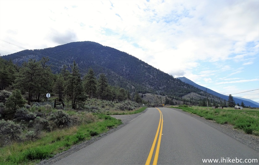
BC Highway 12 at McGillivray Creek FSR Turnoff
3. It's a very inconspicuous road entrance, and could be easily missed. Complicating matters is that the sign with name of the FSR is not seen from the highway. But, once you are about 30 kilometers from Lillooet, look for this road on your left (or on your right, if driving from Lytton, which would be approximately 35 kilometers from here). Coordinates: N 50⁰29.796’ W 121⁰42.461’. Elevation: 365 meters. Zero your odometer after turning from Highway 12. October 2023 Note: there is now a closed gate at the entrance to McGillivray FSR. It is secured by a chain, but there is no lock. Please, close and secure the gate every time you use it.
McGillivray Creek FSR Start off BC Highway 12 between Lytton and
Lillooet
4. Here is that sign, around the corner from the road entrance.
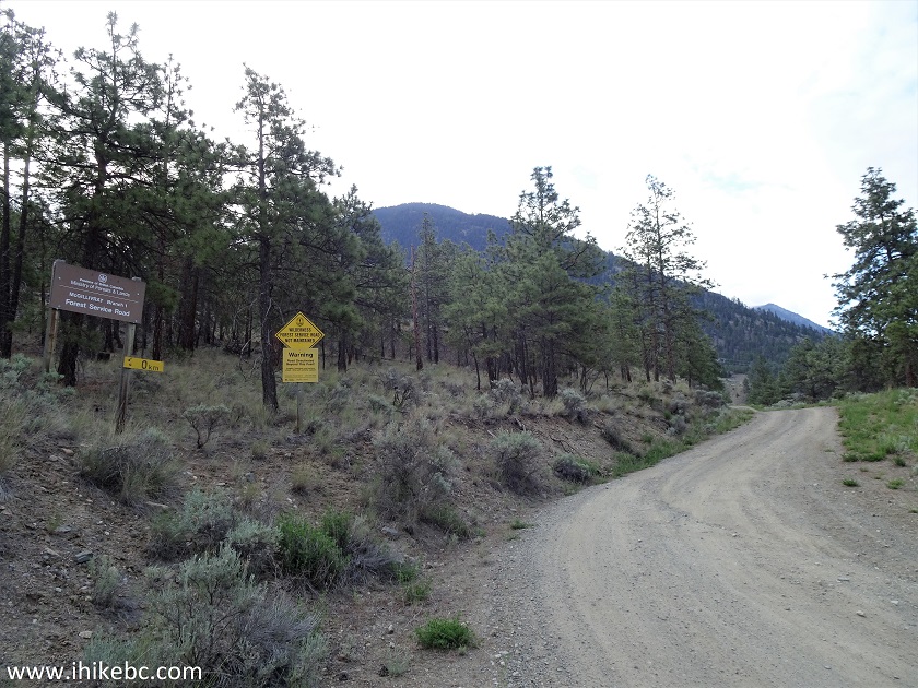
McGillivray Creek Forest Service Road
5. McGillivray Creek Forest Service Road shortly after the start.
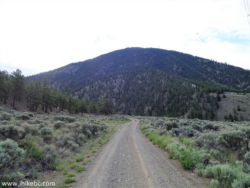
McGillivray Creek FSR British Columbia Canada
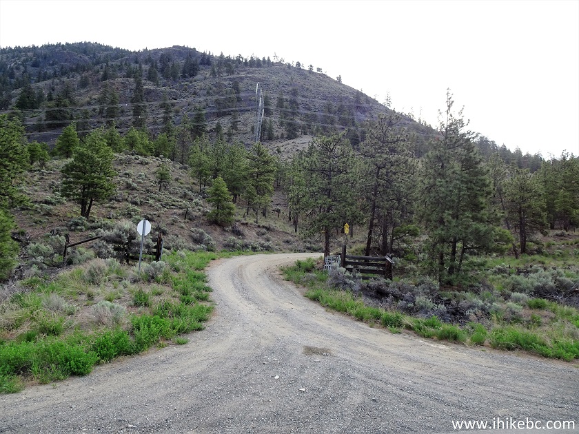
6. Make a left turn at the 3.0 km mark.
McGillivray Creek FSR
7. A neat view on the left side at the 5.3 km mark.
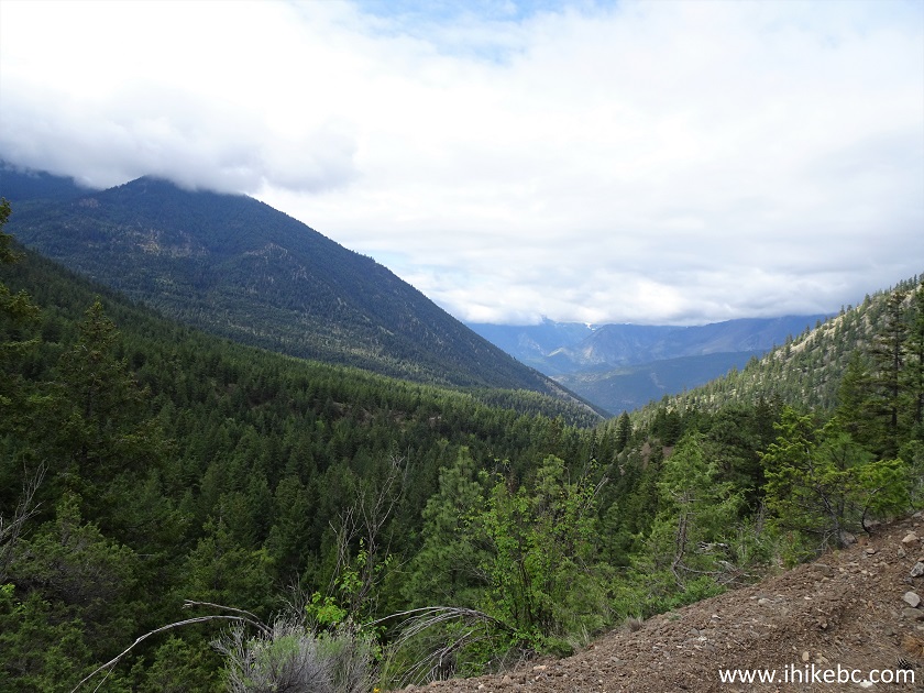
View off McGillivray Creek Forest Service Road
8. A muddy stretch at some point between km 5.3 and km 6.0 - October 2023 photo.
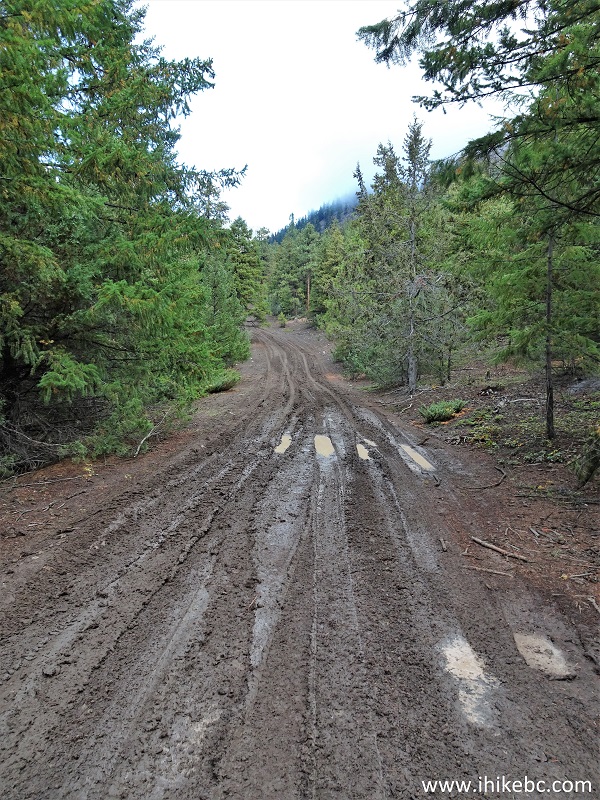
Muddy McGillivray Creek Forest Service Road
9. Here is that slide at the 6.1 km mark. Coordinates: N 50⁰31.393’ W 121⁰40.779’. Elevation: 833 meters. It's basically a large knee-high pile of dirt and small loose rocks. 2WD vehicles are certainly going to get stuck. 4WD may or may not make it. ATVs would likely be fine. Someone with a shovel and a few hours of free time should be able to make that spot passable. NOTE: The slide is gone as of 03-October-2023.
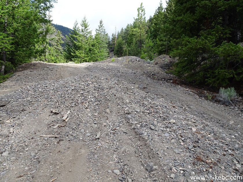
McGillivray Creek Forest Service Road near Lytton BC Canada
10. Here is that stretch in October 2023 - quite passable in a 2WD vehicle now, thanks for fixing!
McGillivray Creek FSR near Lillooet British Columbia
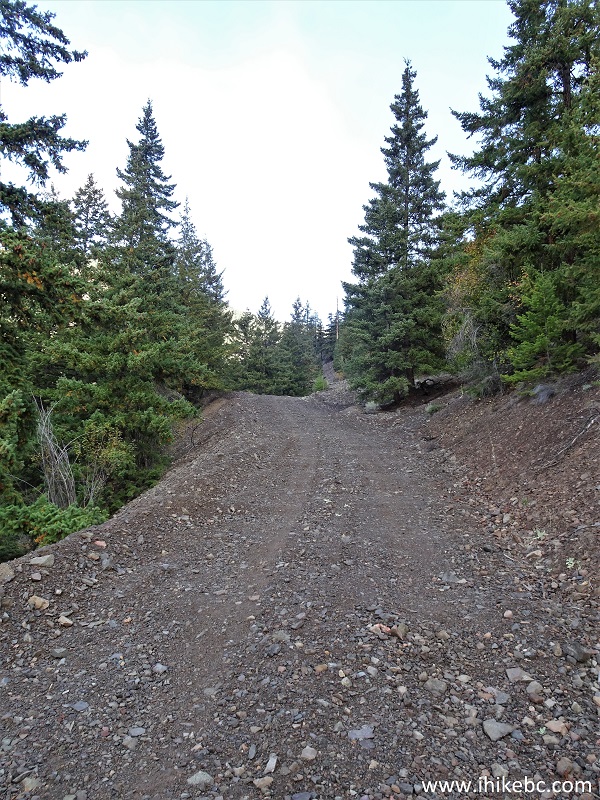
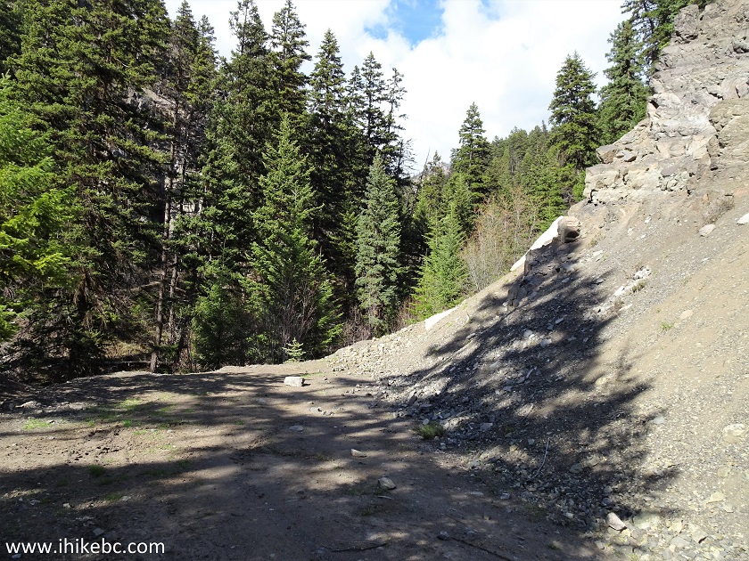
11. So, we left our vehicle by the pile, and started hiking. McGillivray Creek FSR goes mostly uphill from here, but it's not too steep.
McGillivray Creek Forest Service Road near Lytton British Columbia
Canada
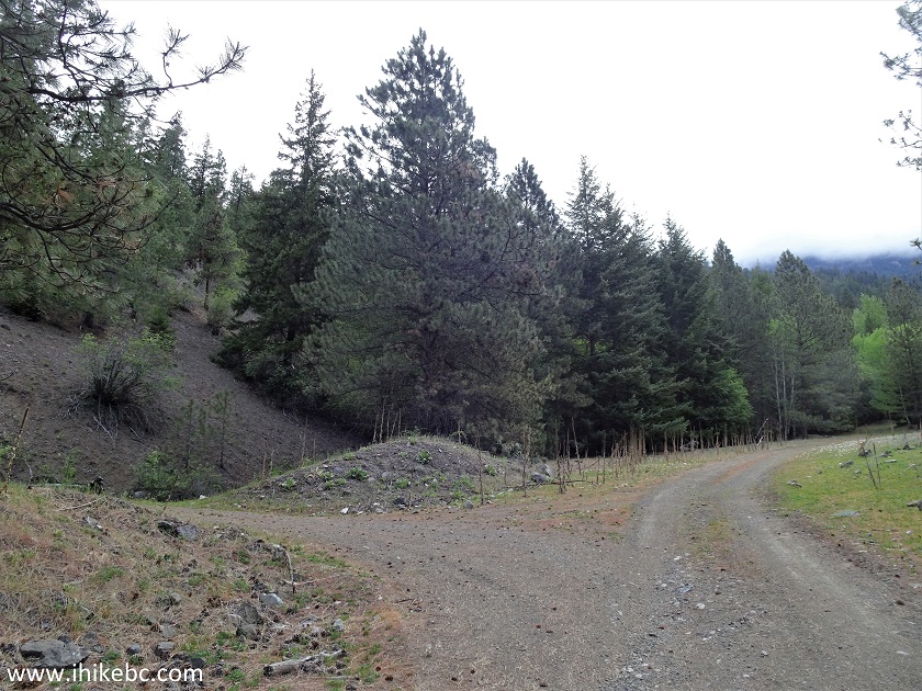
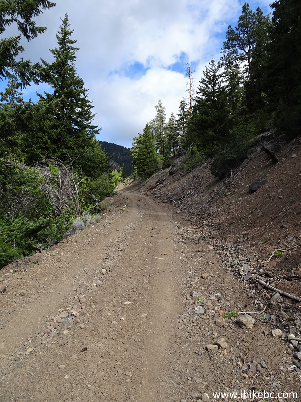
12. Stay left at this split at the 1.9 km mark of the hike (8.0 km mark from the start of the FSR).
McGillivray Creek FSR off BC Highway 12
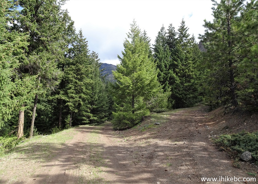
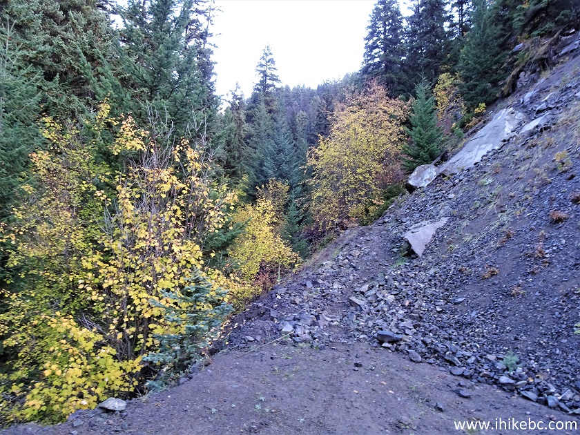
13. A large camping / parking area 100 meters before the end of McGillivray Forest Service Road - October 2023 photo.
McGillivray Creek Forest Service Road near Lillooet British Columbia
Canada
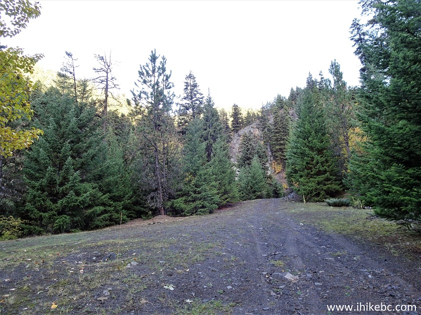
14. McGillivray FSR ends at the 3.3 km mark of the hike after the slide (9.4 km after the FSR start). Coordinates: N 50⁰32.858’ W 121⁰41.200’. Elevation: 1,215 meters. There is enough room to park 5-7 vehicles here, and dozens more at a large area seen in the photo above.
McGillivray Creek FSR
15. The trail starts at the end of the road, on the right side - October 2023 photo. Approximate mileage will be shown counting from the trail start at the end of the FSR.
McGillivray Creek Trailhead
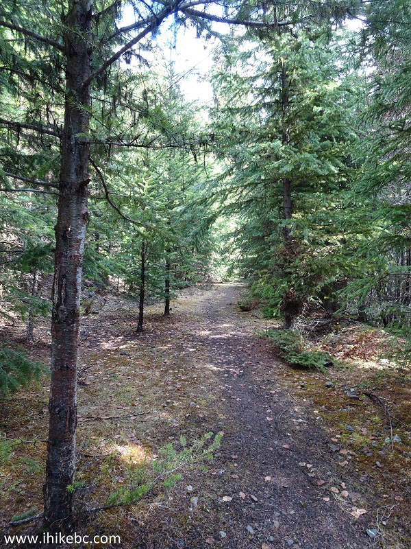
16. Shortly after the start of the trail.
Lytton Hiking - McGillivray Creek Trail
17. The first creek crossing arrives in a few hundred meters from the trailhead. The trail is not marked well, but is fairly obvious (aside from one stretch) if there is no snow on the ground. McGillivray Creek Trail was not present in a GPS with Backroad Mapbook software, so use our GPS coordinates to get to the end of the trail.
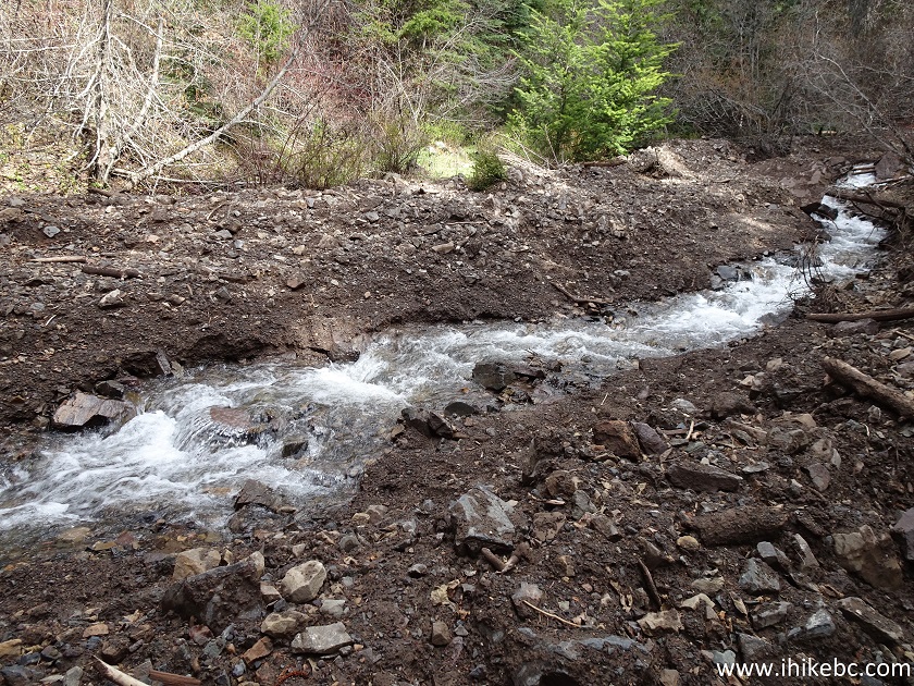
McGillivray Creek Hike Creek Crossing
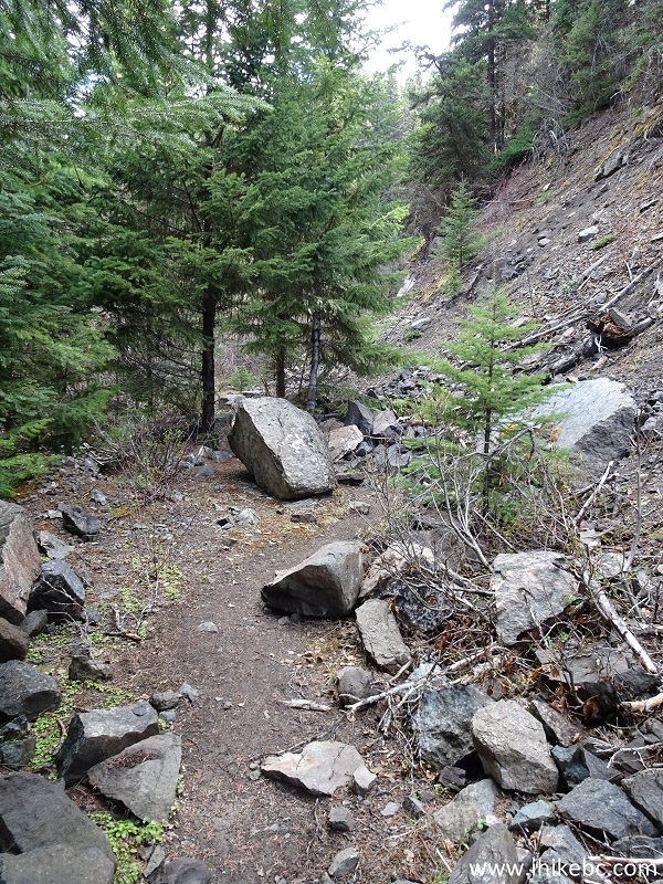
18. There was a short muddy section shortly after the crossing, but then it got better.
McGillivray Creek Trail
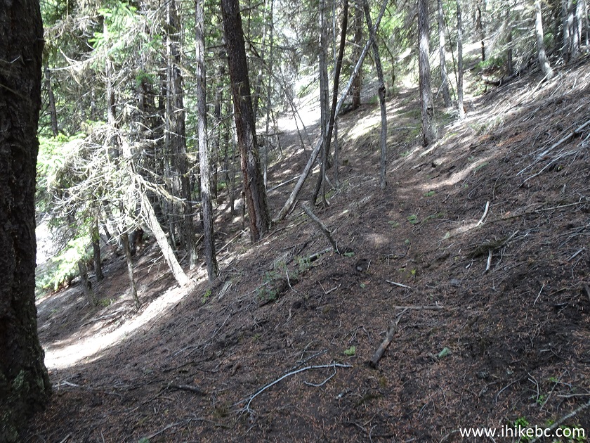
19. The trail, sometimes, disappears, but, overall, the direction of travel is fairly obvious. Just keep going straight.
McGillivray Creek Hike
20. A rather substantial forest arrives at about the 2.1 km mark, and things got a bit confusing here, if for a few minutes, as there are several splits at this location. Coordinates: N 50⁰33.730’ W 121⁰40.630’. Elevation: 1,459 meters.
McGillivray Creek Hike
21. Just over a hundred meters later, there is this split pictured below - take a path on the right. Coordinates: N 50⁰33.733’ W 121⁰40.631’. Elevation: 1,474 meters. There is another split 120 meters later - stay right as well.
McGillivray Creek Trail near Lillooet BC Canada
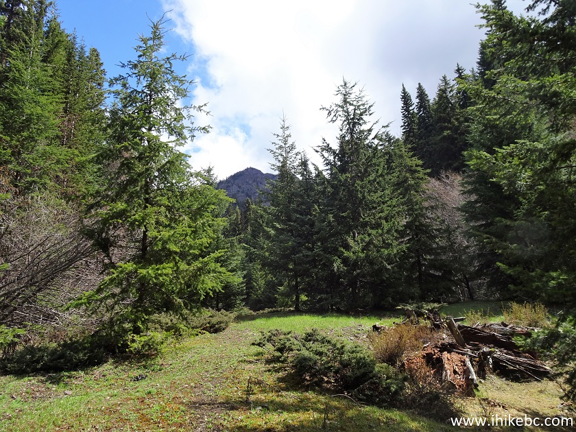
22. The goal is to reach a fence in the area of all these splits, and then to find this opening/gate located at 2.35 km from the trailhead. Coordinates for the opening/gate: N 50⁰33.774’ W121⁰40.680’. Elevation: 1,533 meters. There is a neat mountain view about 60 meters to the left of the gate opening.
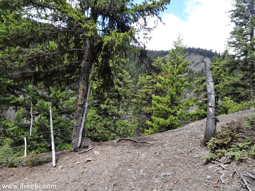
McGillivray Creek Hike British Columbia
23. The path continues past the fence, and reaches another creek crossing in about 200 meters.
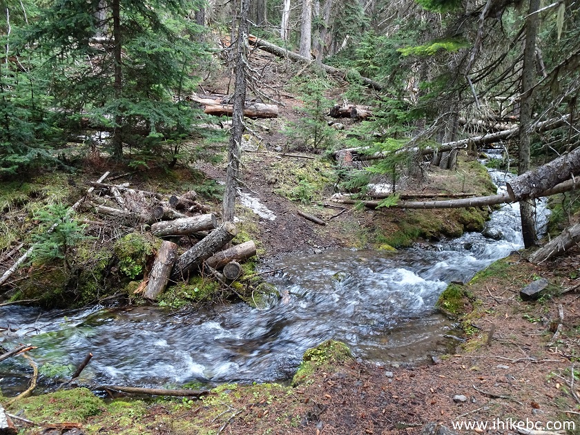
McGillivray Creek Trail Second Creek Crossing
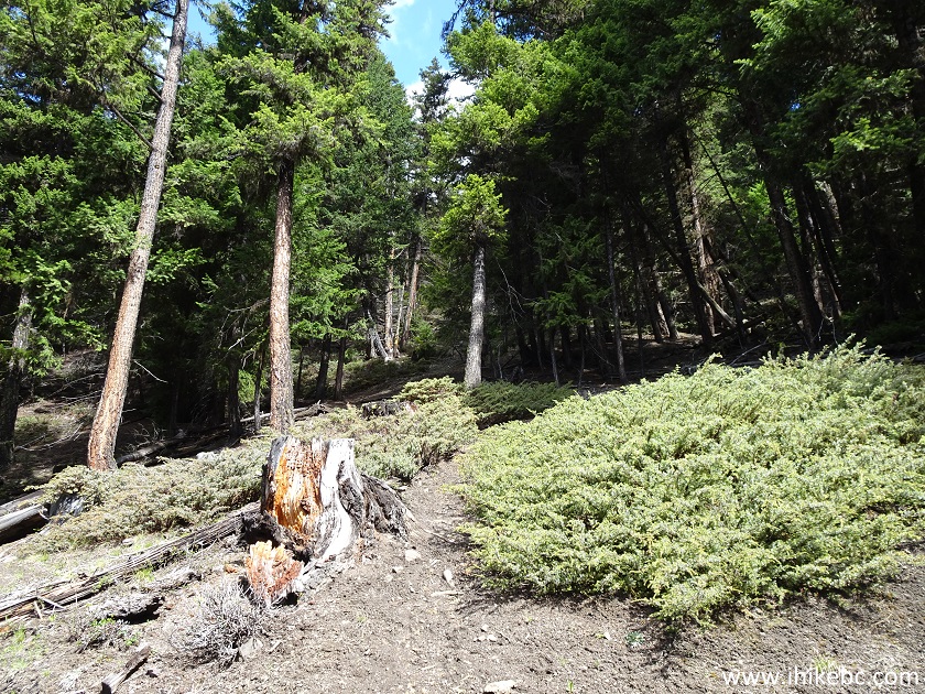
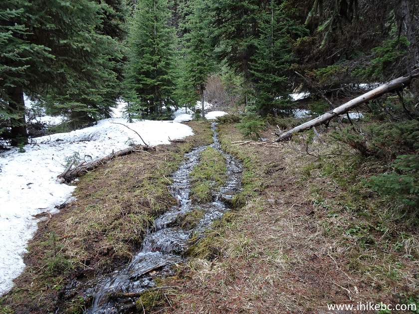
24. The path after the creek. Patches of snow started to appear (May of 2020).
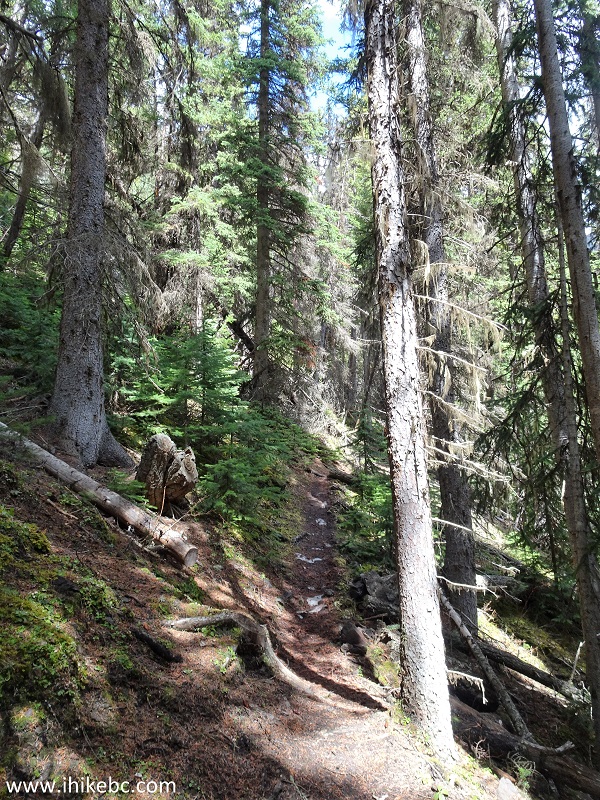
McGillivray Creek Path
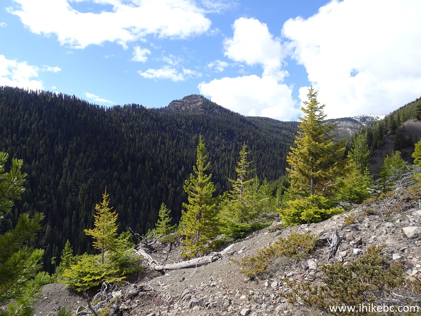
25. This "Midway Mountain", as we called it, arrived at approximately 2.9 km mark of the trail. Coordinates: N 50⁰34.012’ W 121⁰40.681’’. Elevation: 1,554 meters. We climbed it for a bit on the way back, and got a few fine views.
Mountain by McGillivray Creek Trail
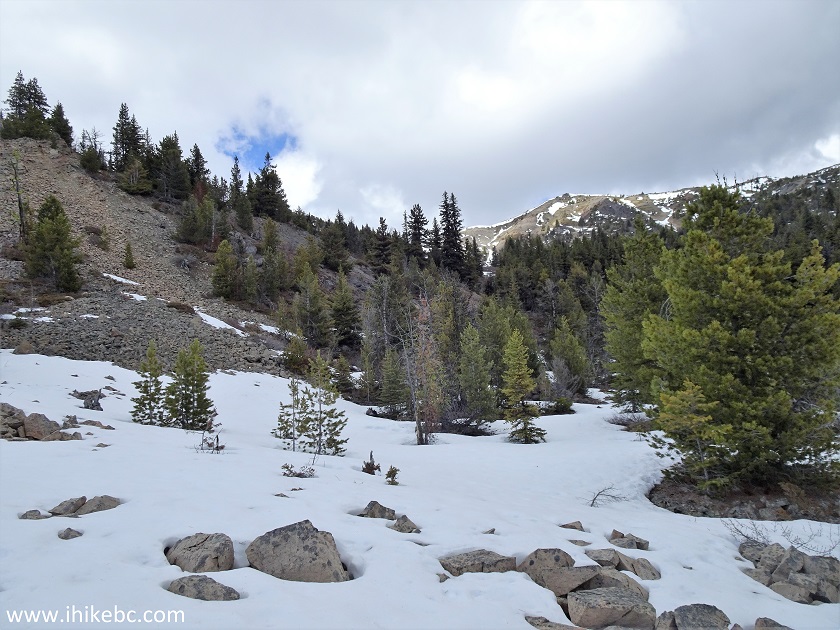
26. Snow started to appear in earnest approximately one kilometer later, at the elevation of 1,600 meters. Sometimes, it was unavoidable and nearly knee-deep. Our feet got wet in a hurry.
British Columbia Hiking
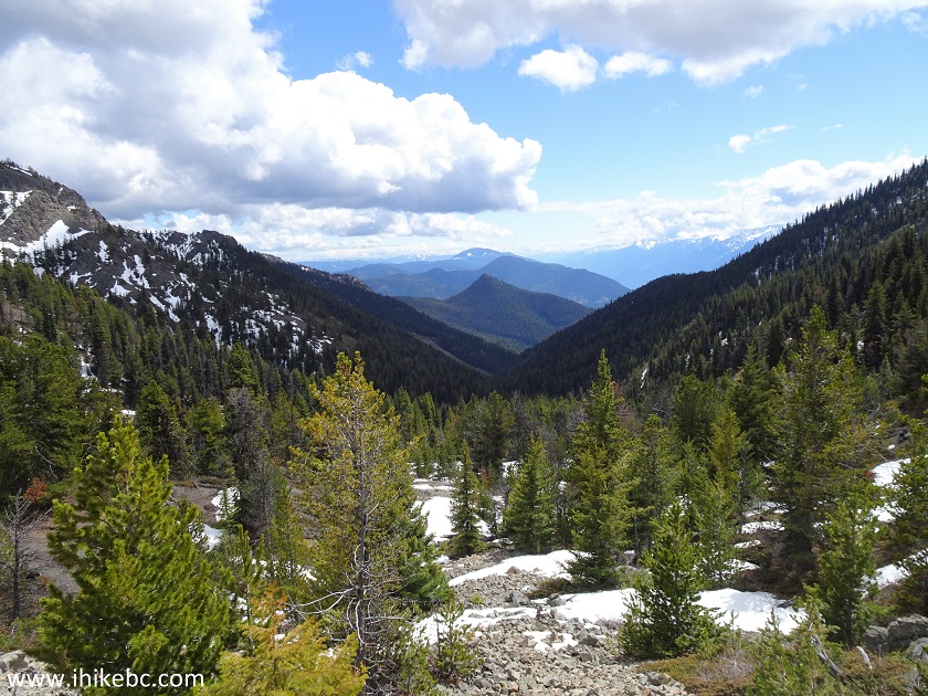
27. At approximately the 4.5 km mark of the hike, the trail leaves the creek, and all but disappears. But the direction of travel is still obvious - up this ridge. Coordinates: N 50⁰34.874’ W 121⁰40.972’. Elevation: 1,837 meters.
Hike in Canada
28. And this just might be our unreachable destination. Looks close enough, but there were lots of deep snow in the woods. October 2023 NOTE: this mountain is NOT the destination.
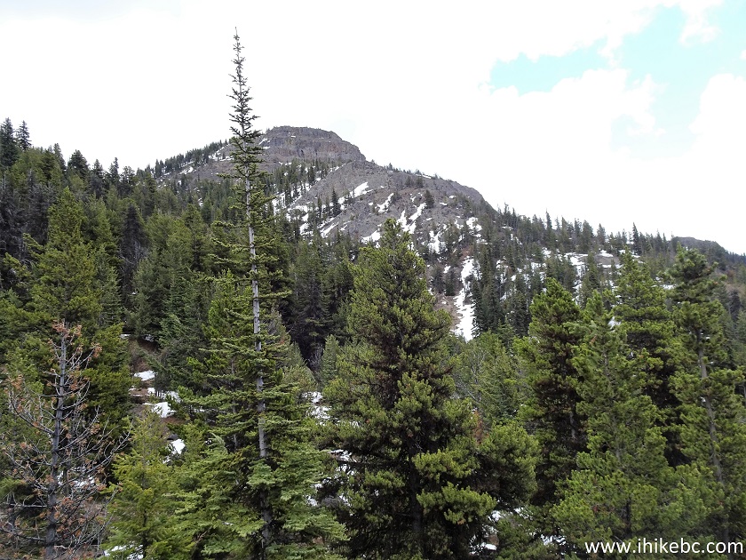
Mountain in British Columbia
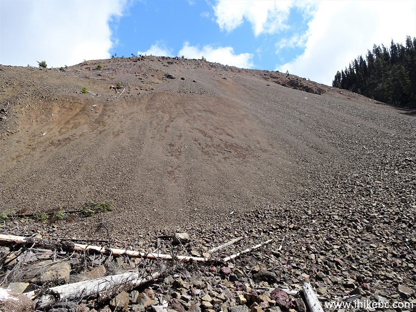
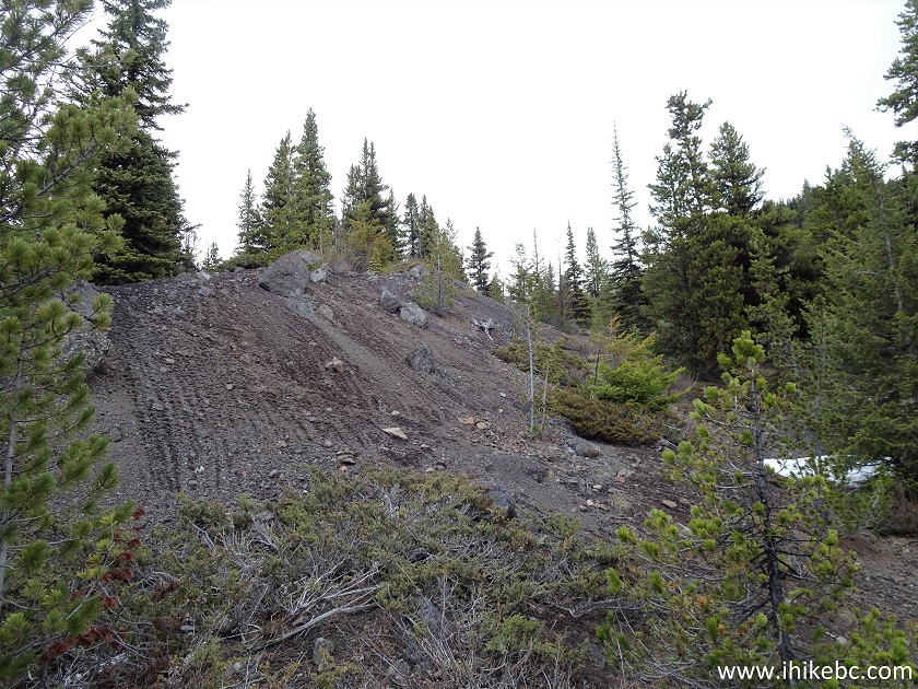
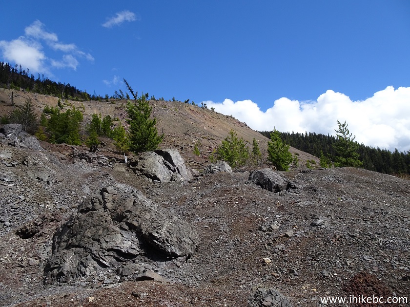
29. The ridge goes through an area of large loose stones. Coordinates: N 50⁰35.002’ W 121⁰41.019’. Elevation: 1,892 meters.
British Columbia Hiking near Lytton
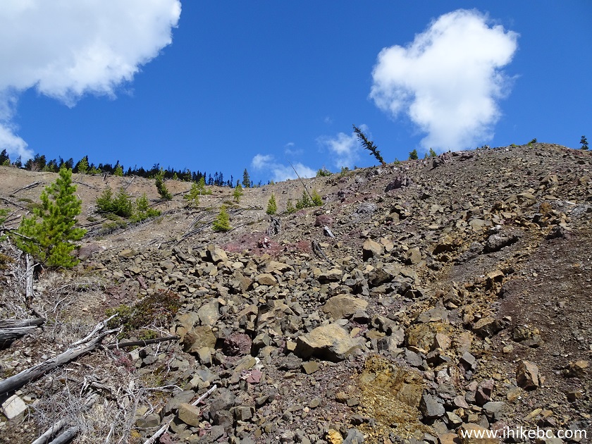
30. At about 6.5 km mark of the hike, we called it a day at this spot in May of 2020. Coordinates: N 50⁰35.063’ W 121⁰41.029’. Elevation: 1,921 meters. October 2023 NOTE: this location is a bit off the trail. Use GPS coordinates on the next page to get to the end of the trail.
British Columbia, Canada
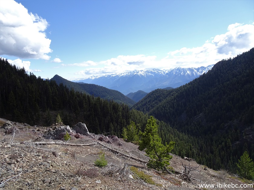
31. A very fine view looking back at this location.
British Columbia
32. It was not all for naught on May 15th, 2020, however, as we climbed "Midway Mountain" on the way back.
Hike British Columbia
33. If facing the mountain, the left side is not nearly as steep as the right side.
BC Hiking
34. Looking right after we climbed about halfway.
Hike in BC
35. Now with a zoom.
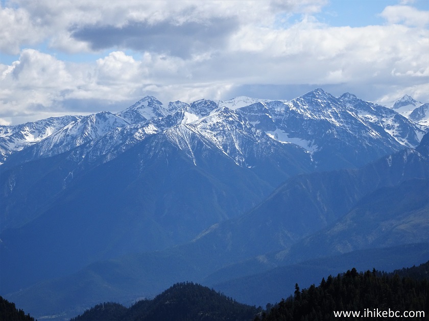
Mountains in Canada
36. Looking left.
British Columbia Hiking
37. To descend, the right side turned out to be a better choice, despite being very steep - it's mostly loose sand and small rocks there, making it easy and fairly safe to slide down. Descending on the left side would have meant hopping on large stones - always a high injury hazard. Here we are looking back after sliding down.
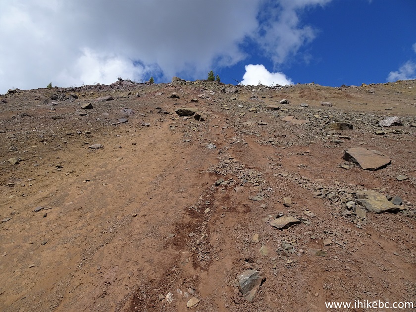
Mountain by Lytton BC
Here is our video of the views from Midway Mountain.
More ihikebc videos are on our YouTube Channel.
That was it for the May 15th, 2020 hike. We planned on coming back later that year to finish the trail, but were unable to do so until October 3, 2023. Our McGillivray Creek Trail Hike trip report Continues on Page 2.


|
 |
Other Trips in Lillooet Area:
|
|
|


|
|
Red Rock
Trail Hike |
|

![]()
![]()
![]()
ihikebc.com Trip 183 - McGillivray Creek Trail Hike (near Lillooet BC) Page 1 of 2