![]()
![]()
![]()

Trip 240 - April 28, 2022 (Thursday)
Mount Killam Trail Hike
Gambier Island BC Off Sunshine Coast Near Langdale Ferry Terminal
Page 1 of 2
Liked: Ocean and islands views from the main viewpoint, several fine forest scenes, no bugs, meeting a turkey buzzard.
Of Note: A moderately challenging trail with several steep stretches - hiking poles and boots are highly recommended. Substantial industrial noise for most of the trail. Access road to the trailhead may be closed due to industrial activity. Steep unbarricaded drop-offs at the viewpoint. The views from the viewpoint are likely going to be hazy due to south-facing viewpoint. The signage to the trailhead is inadequate and confusing. A GPS with a mapped trail is highly recommended.
Vancouver, Coast & Mountains Backroad Mapbook (5th edition) Gambier Island Coordinates: Page 10 (Gibsons) E5.
103 Hikes in Southwestern British Columbia (2008 edition): hike #33.
Related Website: Gambier Island Ferry Schedule.
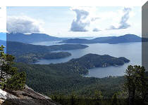
Mount Killam Trail is located on Gambier Island, a short ferry ride from BC Sunshine Coast (Langdale Terminal). Upon disembarking from the ferry, you get to the trailhead after 4.4 km of hiking on easy gravel roads. The trail itself is substantially more difficult, and leads 2.6 km later to a panoramic viewpoint of the ocean, Gambier Island itself, Lower Mainland, Bowen Island, Keats Island, and BC Sunshine Coast, including Langdale Ferry Terminal. In fact, it is possible to observe a Horseshoe Bay to Langdale ferry for most of its 40 minute route.
Unless you know exactly where you are going, Mount Killam trailhead can be difficult to find due to several splits and inadequate and even confusing signage. There is a (relatively) new gravel road at 3.4 km where you need to make a right turn, but, only 200 meters later, there is another right turn road, and it actually has a Mount Killam sign with an arrow high up a tree. A few hundred meters later you end up in a gravel pit, and "103 Hikes in Southwestern British Columbia" (2008 edition) says just that - that the trail starts at the gravel pit. But it's a very serious and rather dangerous obstacle course down there for several hundred meters, which is completely avoidable if you make a right turn 200 meters earlier.
While the main view is quite panoramic and fairly impressive, because you are looking straight South the sun is always going to shine at you at least at some angle, and create haze. Also, if you are taking a ferry to Gambier Island, remember that the last sailing is fairly early in the day (check out the schedule link above), lest you be stuck on Gambier overnight or be forced to call for a water taxi.
Take a look at our previous trip report for directions on getting to Gambier Island from Langdale Ferry Terminal. This trip report picks up with us walking on a logging road past the community centre located at 600 meters from the dock. All distances in this trip report are based on a GPS odometer and are approximate.
Note: there appears to be another trailhead (or two) elsewhere on Gambier Island, but we do not know where they are located, and if it is possible to get there from New Brighton Dock. If it is, then it could be a solution in case the way we went would be blocked by a gate seen in photo #7.
Finally, as the main viewpoint is at the elevation of less than 700 meters, Mount Killam makes a good (snow-free) hike for most of the year.
1. We are now at 1.2 km from Gambier Island's New Brighton dock, en route to Mount Killam Trailhead.
Gambier Island, BC
2. The first split is at 1.3 km. The signage is kind of there on a signpost seen straight ahead, but it's quite faded. Make a LEFT turn here. Coordinates: N 49⁰27.610' W 123⁰26.156. Elevation: 135 meters.
Gambier Island - British Columbia - Canada
3-5. Then, there was this interesting encounter. About 200 meters to our left, we have noticed several unusual large birds sitting in a tree. We figured it was a buzzard, and further internet search indicated it was a turkey buzzard (turkey vulture). Southern Canada is the northern boundary of their summer habitat, and, while these birds are, apparently, quite common, we have not seen a turkey buzzard in the wild before.
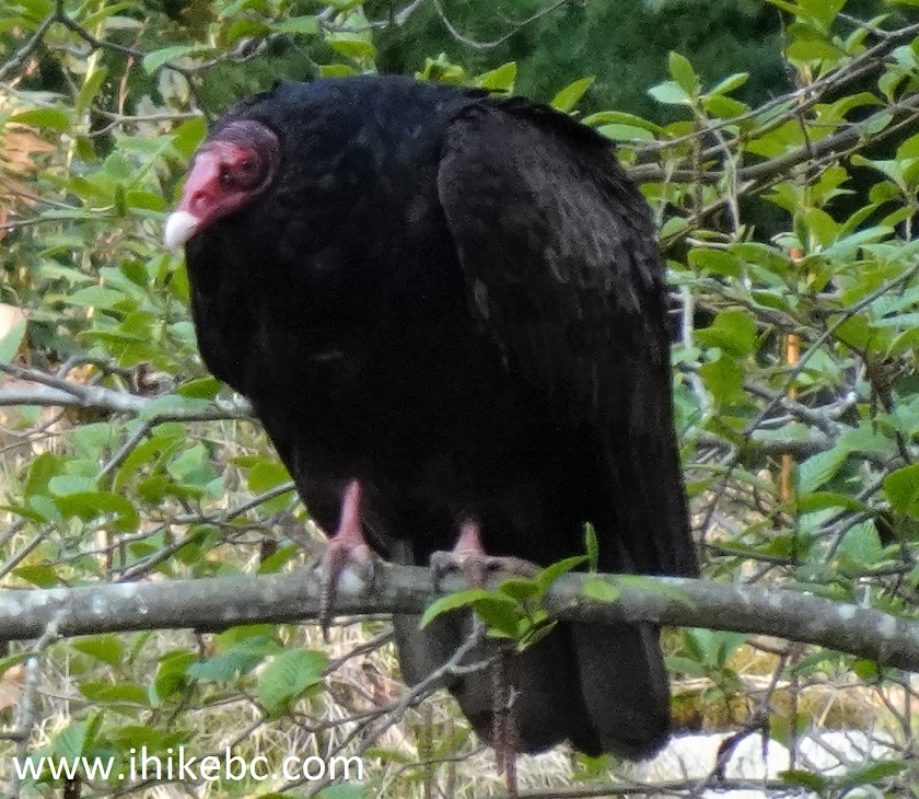
Turkey Buzzard
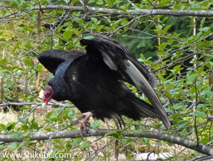
Turkey Vulture
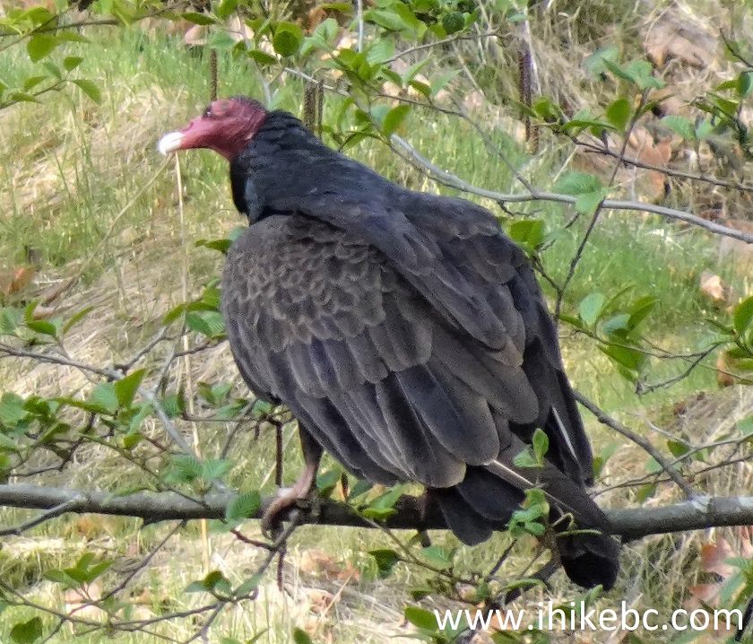
British Columbia Turkey Buzzard
Here is our video of this turkey buzzard on Gambier Island.
More ihikebc videos are on our YouTube Channel.
6. Another split is at 1.7 km - turn RIGHT. Coordinates: N 49⁰27.691' W 123⁰26.351. Elevation: 112 meters.
Gambier Island, BC, Canada
7. A gate arrives at 2.30 km. Go straight/left here (the road on the right ends very soon, anyway). This is where trail access may be closed due to industrial activity. Coordinates: N 49⁰27.890' W 123⁰26.267. Elevation: 125 meters.
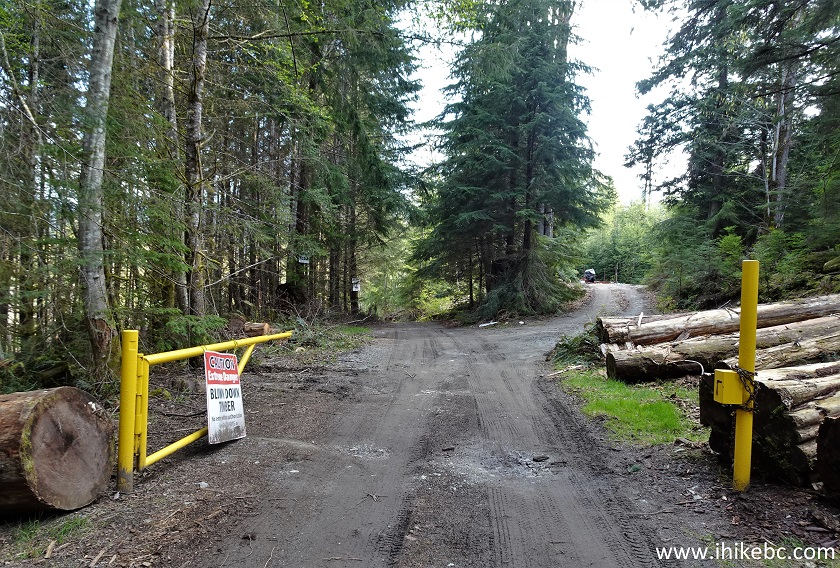
Gambier Island
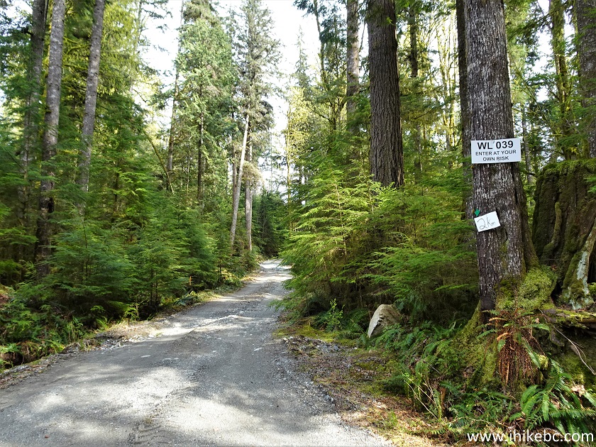
8. Enter at your own risk.
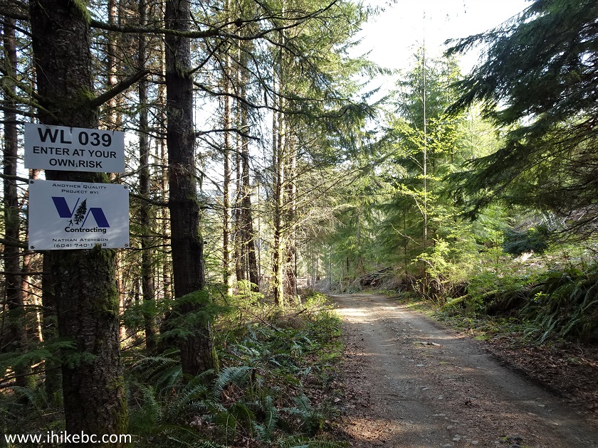
Gambier Island, BC
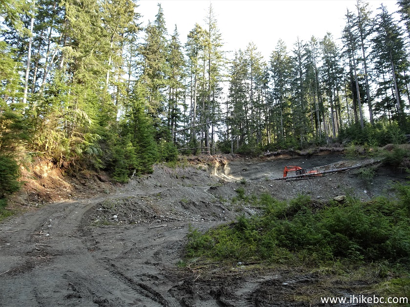
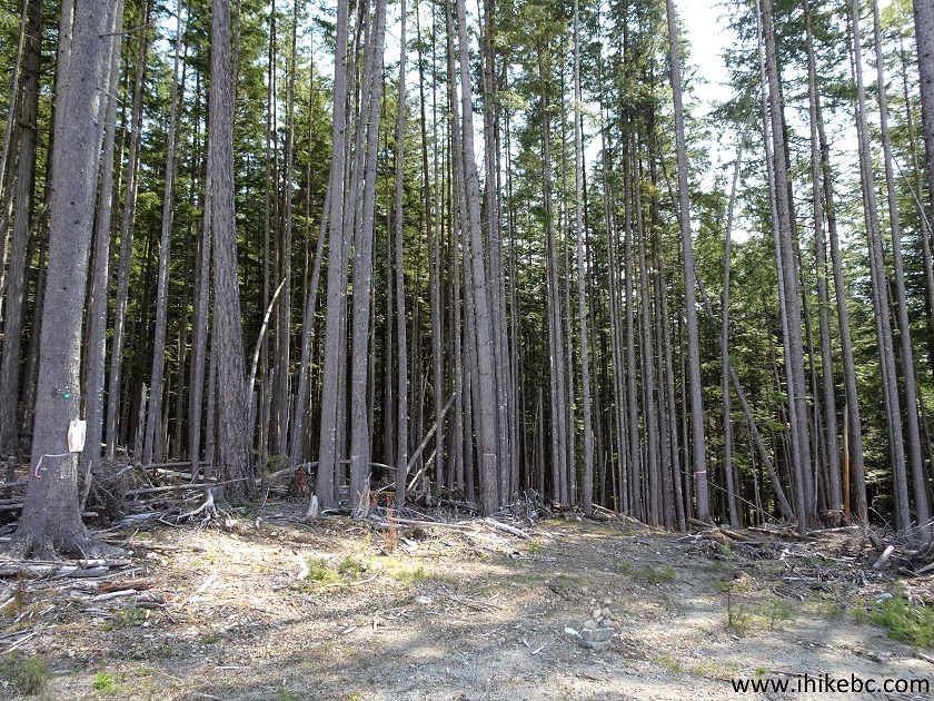
9. Logging is present on Gambier Island.
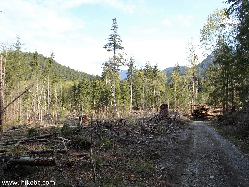
Logged area Gambier Island BC
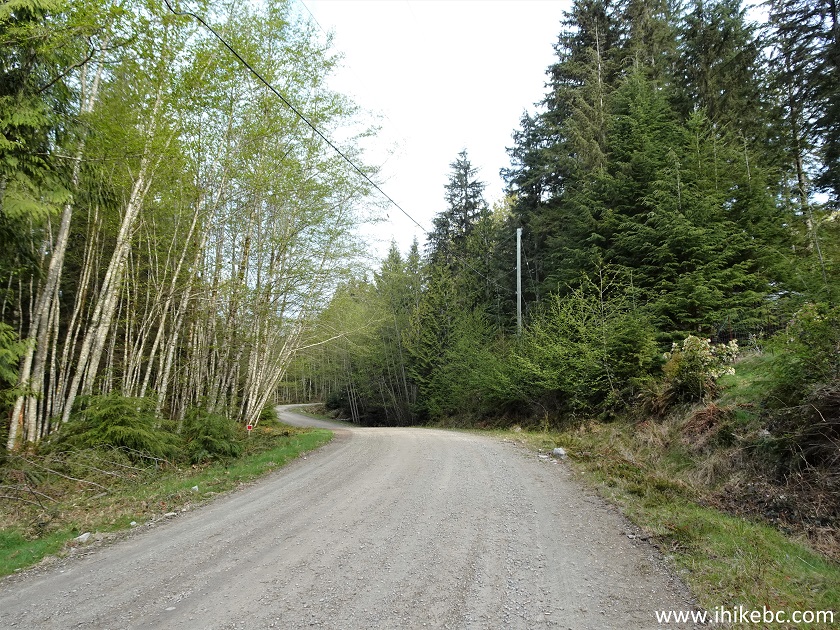
10. Access road to Mount Killam trailhead at 2.70 km from New Brighton Dock.
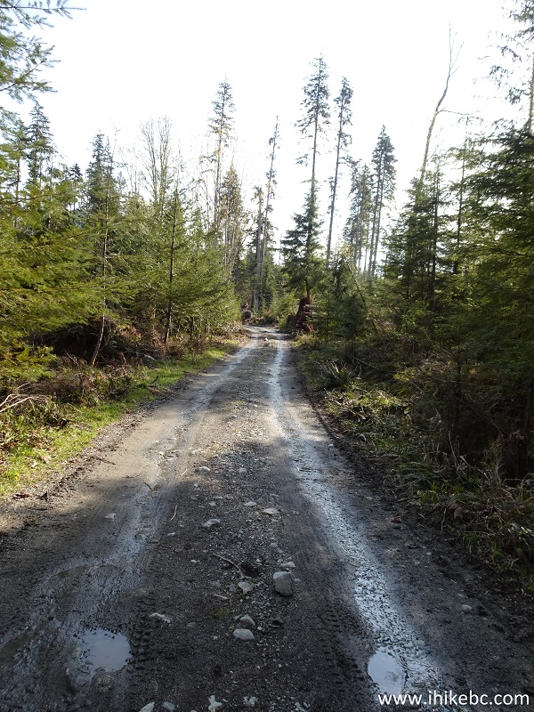
Mount Killam Trailhead Access Road Gambier Island BC
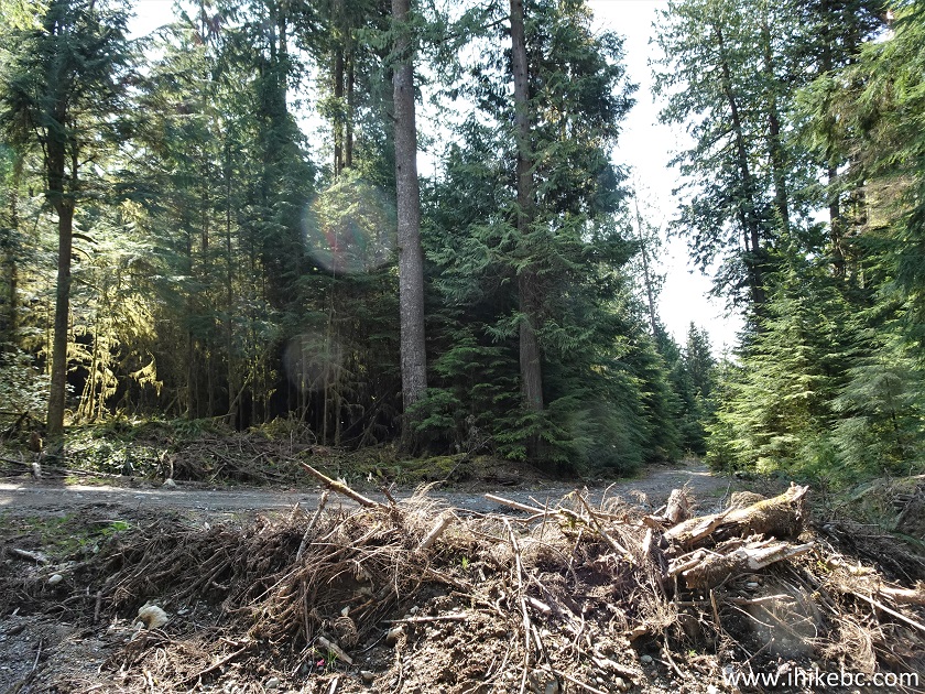
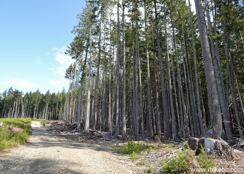
11. The tall trees of Gambier Island.
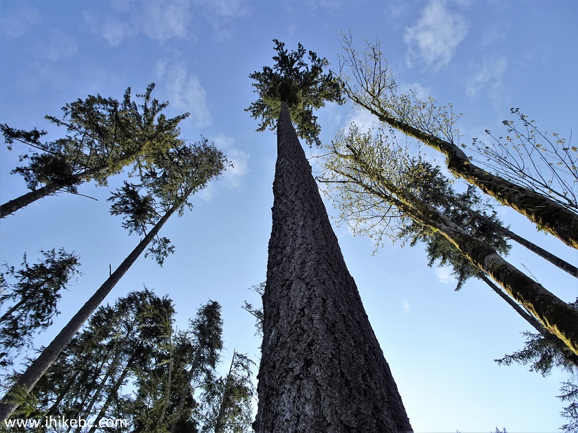
Trees on Gambier Island
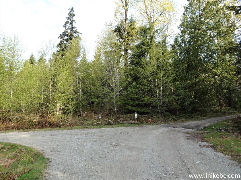
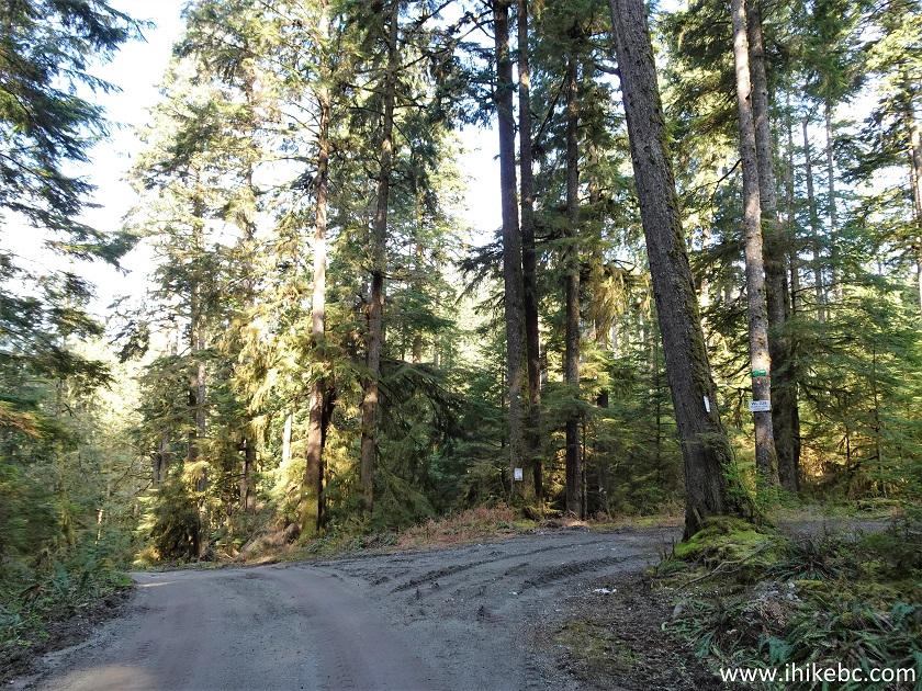
12. Another split is at 2.80 km - go straight.
Gambier Island British Columbia Canada
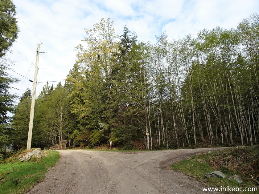
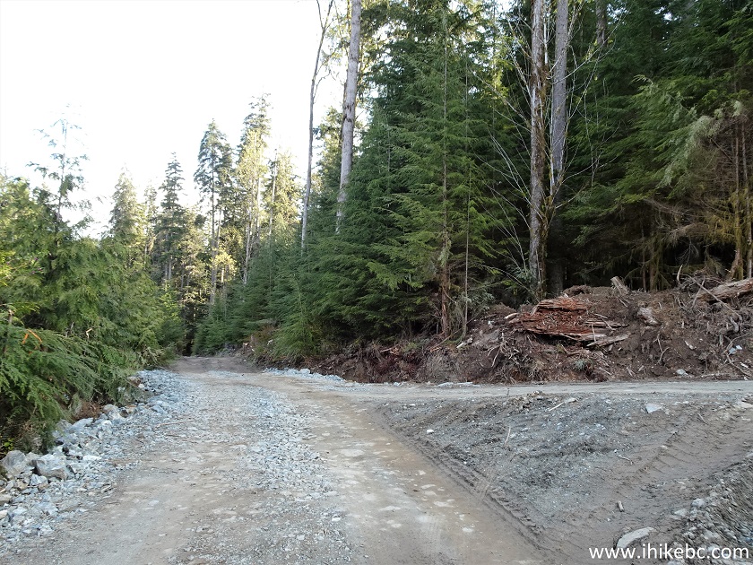
13-14. At 3.40 km here is that key turnoff. Coordinates: N 49⁰28.415' W 123⁰26.099. Elevation: 94 meters. Make a right turn here to bypass a semi-dangerous and totally unnecessary path which starts at a gravel pit, which we reached by going straight and then turning right 200 meters later. Should have turned right here. By the way, going straight past this turn and the turn we took 200 meters later would eventually lead to Gambier Lake and the Northern part of Gambier Island. We did not go there, so not sure as to the condition of the paths and roads.
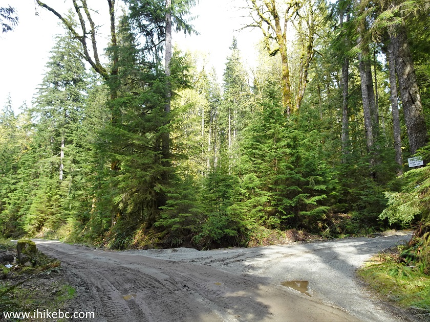
Gambier Island BC - Mount Killam Trailhead Access Road
15-16. But we kept going straight, and, 200 meters later, made this right turn, with a green sign on top of a tree saying "Mount Killam" and having an arrow pointing in that direction.
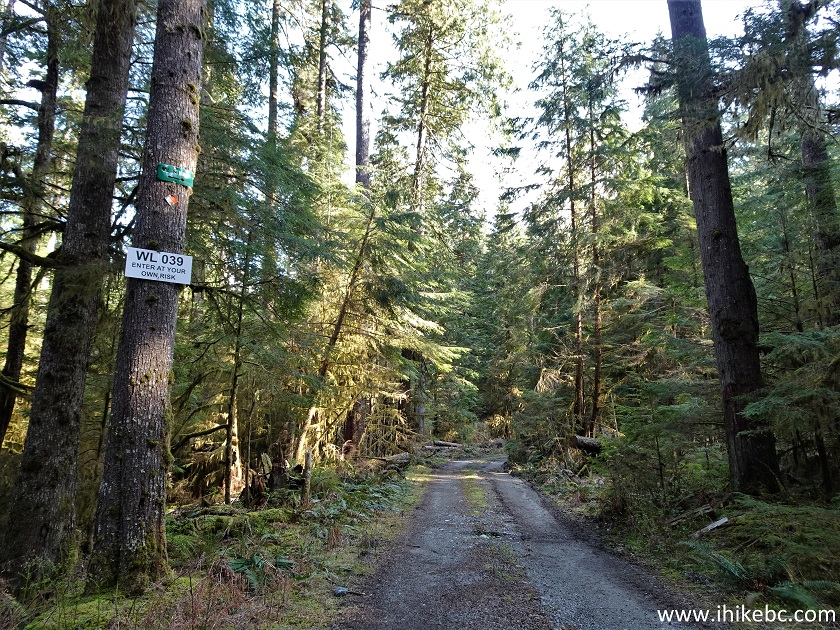
Gambier Island
17. Another 200 meters, and we are at a gravel pit, which is where the Mount Killam Trail starts, according to "103 Hikes in Southwestern British Columbia" (2008 edition). That is an awesome hiking manual, but it was written 15 years ago or so, and lots have changed. We ended up looking around, and spent quite some time before getting through this challenge.
Gambier Island Gravel Pit
18. We climbed above the pit on the left side, and found a trail marker.
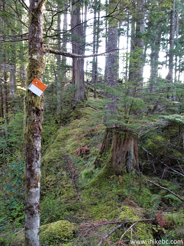
Hiking on Gambier Island
19. But it was a true obstacle course down there. And a fairly dangerous one too.
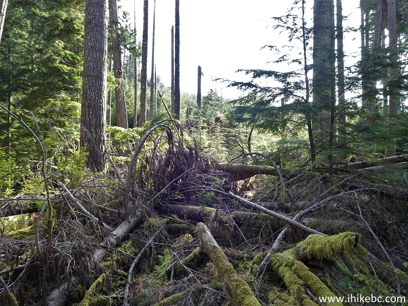
Gambier Island, British Columbia, Canada
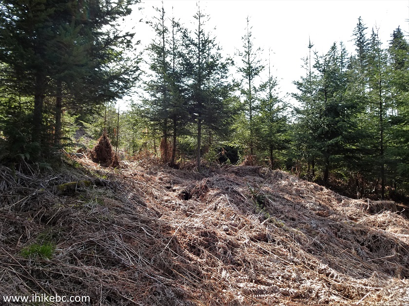
20. Past a hundred meters of debris, there was this soft stretch of another several hundred meters composed of old grass, which was knee-deep in places, so your foot would just fall through when you tried to walk on that grass.
21. Eventually, we reached an old logging road, turned right, and, several hundred meters later, reached the same road which starts on the right side in photo #13, and which we should have taken to begin with. Making a right turn here would reach that photo #13 intersection in about 450 meters.
22. Long story short, take the road seen in photos #13-14. Then, 700 meters later (4.1 km from the dock) you would get to this logged area, where kind loggers left these two trees standing all alone.
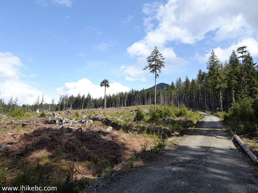
Gambier Island BC - Mount Killam Trailhead Access Road
23. At 4.2 km, take a road on the right.
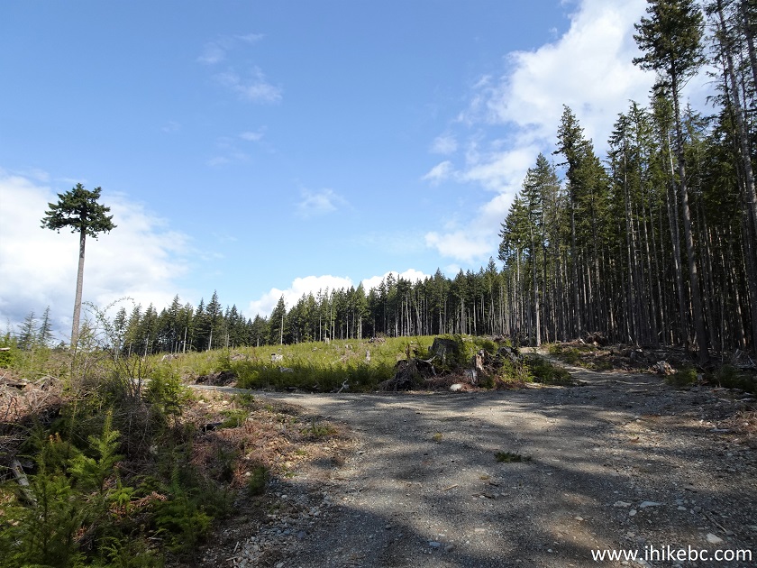
Gambier Island
24. A very fine view indeed.
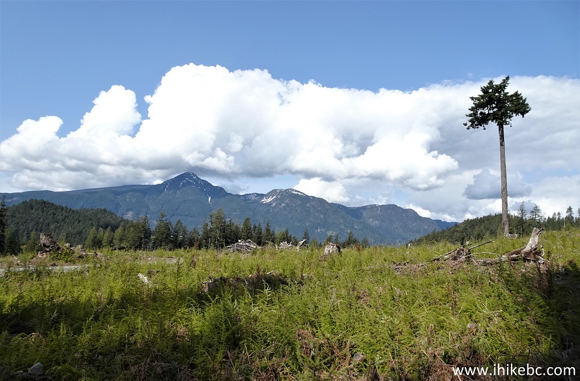
Gambier Island, British Columbia
25-27. Very shortly, at 4.4 km from the dock, we have reached Mount Killam trailhead on the right side. Coordinates: N 49⁰28.622' W 123⁰25.643. Elevation: 226 meters. A good thing we had a GPS with a trail ribbon which showed us the way, as there was no sign at all, with an empty board nailed to a tree. There was also a green diamond-shaped marker with a white maple leaf drawn on it.
Mount Killam Trailhead - Gambier Island, BC
![]()
28. Just go into the trees, and the trail is right there. It passes through a fairly wide-open, if unremarkable, forest.
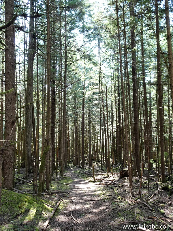
Gambier Island Hike - Mount Killam Trail
Our Mount Killam Trail Hike Trip Report Continues on Page 2.


|
 |
![]()
![]()
![]()
ihikebc.com Trip 240 - Mount Killam Trail Hike (Gambier Island BC Off Sunshine Coast) Page 1 of 2