![]()
![]()
![]()

Trip 233 - September 7, 2021 (Tuesday)
Two Sisters Trail Hike
Near Barkerville and Wells, BC
Page 1 of 2
Liked:
Mountain and valley views, hut/shack at the end of the trail, shade in the forest, no bugs.
Of Note: T
he trail to the shack is open to motor vehicles. Uneven ground to the shack – hiking poles and boots are recommended. Very windy by the shack. Climbing the nearby mountain is much more difficult and is for experienced, well-equipped hikers only.Cariboo Chilcotin Coast BC Backroad Mapbook (4th edition) Trailhead Coordinates: Page 58 (Barkerville) A5.
Other Trips in Wells and Barkerville Area:
Barkerville National Historic Site, Mount Murray Hike.Two Sisters Trail is in the Cariboo region of British Columbia, near the communities of Wells and Barkerville. The main trail starts by a forest service road and goes for 6.5 km to a neat shack on top of a mountain. It's mostly an easy trail with a few moderately challenging sections, and can be tackled by just about anyone. Shortly before the shack there is a split, and experienced, well-equipped hikers may be interested in also hiking a much tougher route for just over one kilometer to the peak of the "Second Sister", where two communication towers are located.
Just about any vehicle would make it from Highway 97 near Quesnel to the trailhead 104 km later: Highway 26 is paved, Bowron Lake Park Road is packed dirt, and 2400 Road is packed gravel. There are no especially challenging stretches along the way.
There are a few impressive valley views by the trailhead right across the 2400 Road, and that's the last good thing you would see for a long time, as the trail at first goes through an absolutely featureless forest for over 5 km, before opening up with all kinds of fine views for the last 1.5 km of the hike.
Do note that Two Sisters Trail is open to motorized traffic all the way to the shack (but not to the Second Sister). The shack has a bed frame, a locked cabinet with equipment for the local search-and-rescue team, and a 12 volt outlet to recharge your gadget(s).
We first hiked this trail on July 18, 2020, but encountered inclement weather at the top, and did not see much because of low clouds. A few photos in this trip report, as well as one short video, are from that hike.
1. We are Northbound on BC Highway 97, with the City of Quesnel just behind us, and Prince George about 120 km further North. Straight ahead is an intersection where turning left would lead to Quesnel airport, and turning right is the beginning of BC Highway 26 to Wells, Barkerville, and (eventually) Bowron Lakes Provincial Park.
BC Highway 97 in Quesnel British Columbia Canada
2. Getting ready to turn right at this intersection. Zero your odometer after making the turn.
BC Highway 97 at BC Highway 26 in Quesnel
3. Here is BC Highway 26 at the 5.7 km mark. There isn't much to see all the way until it ends at Barkerville National Historic Site.
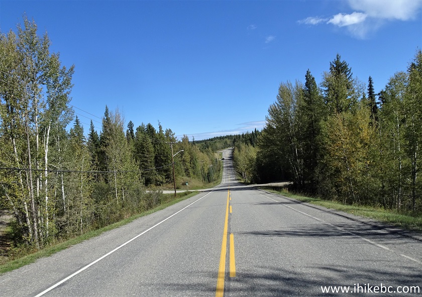
BC Highway 26 near Quesnel British Columbia Canada
4. Now at 72.1 km of Highway 26.
BC Highway 26
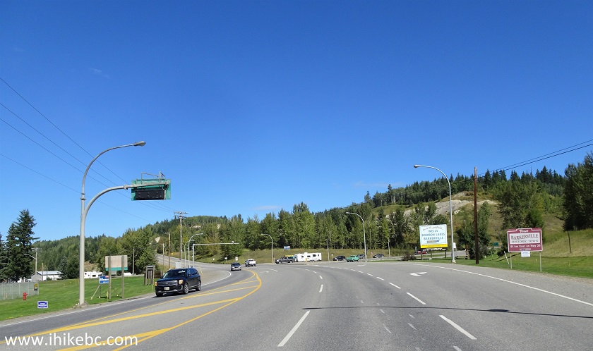
5. After a fairly steep hill, Highway 26 reaches a small community of Wells at 75.0 km.
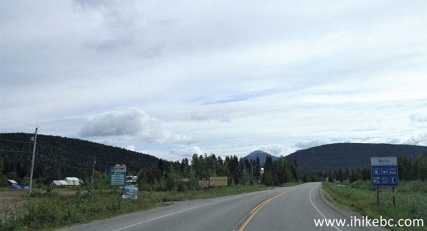
BC Highway 26 in Wells British Columbia
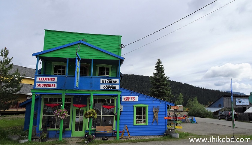
6. Here is a gift shop in Wells on the side of the Highway.
Wells BC Gift Shop
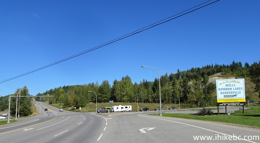
7-8. At 81.0 km, turn left onto Bowron Lake Park Road. Staying on Highway 26 would lead to Barkerville National Historic Site in a few minutes.
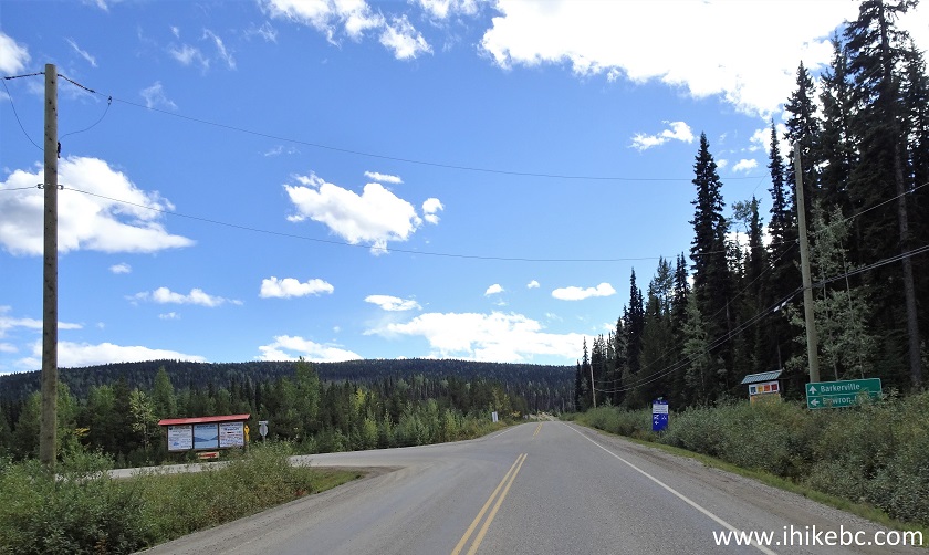
BC Highway 26 at Bowron Lake Park Road Turnoff
Bowron Lake Park Road Turnoff from BC Highway 26
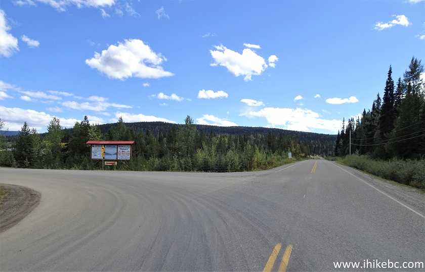
9. Just 300 meters later, turn left yet again to stay on Bowron Lake Park Road. To the right is Matthew Valley Road.
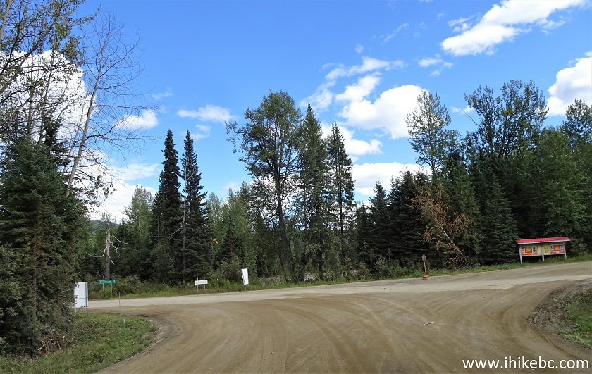
Bowron Lake Park Road at Matthew Valley Road near Wells/Barkerville BC
10. Having turned left, we are continuing on Bowron Lake Park Road, with a sign indicating 28 km to Bowron Lake Provincial Park.
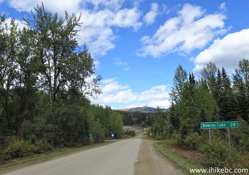
Bowron Lake Park Road British Columbia Canada
11. Bowron Lake Park Road has some good views. Here is one at 85.5 km.
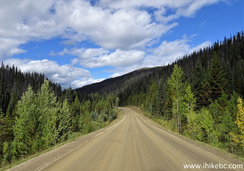
Bowron Lake Park Road
12. At 98.8 km (17.8 km after turning from Highway 26), make one more left turn onto 2400 Road.
Bowron Lake Park Road at 2400 Road Turnoff
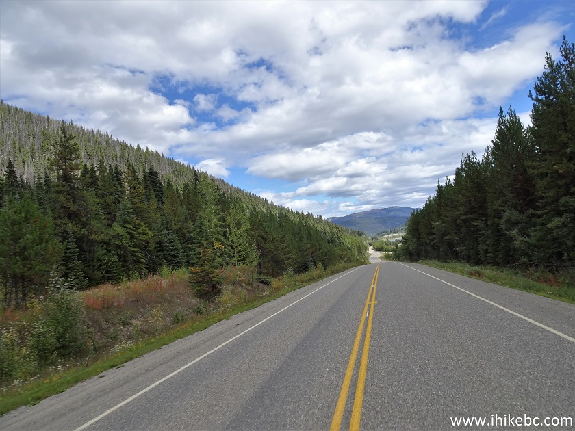
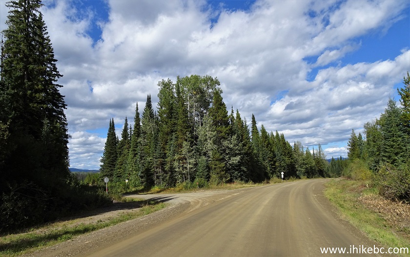
13. 2400 FSR is packed gravel, and a bit rough, but nothing too terrible. Some good views too.
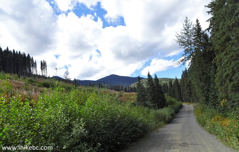
2400 FSR near Wells/Barkerville BC
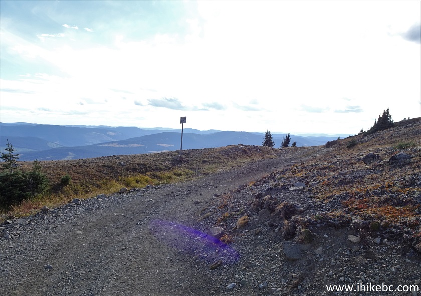
14. At 103.6 km from the beginning of Highway 26 in Quesnel, Two Sisters trailhead is on the left side. If you have a capable 4x4 (high clearance, and at least one locker), you may try to drive further, though keep in mind that it's a narrow trail/FSR with limited opportunities to turn around, should you find one of the several steep stretches with loose stones too much for your vehicle.
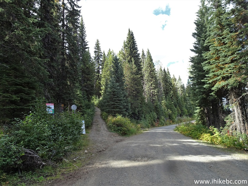
2400 Road at Two Sisters Trailhead near Wells and Barkerville British
Columbia Canada
15. But don't rush to start the hike. Just a hundred meters further down the 2400 Road, there is quite a view on the right side.
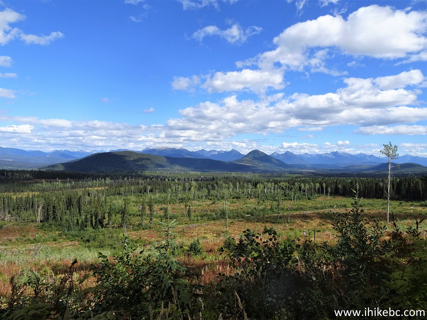
British Columbia
16. With some zoom.
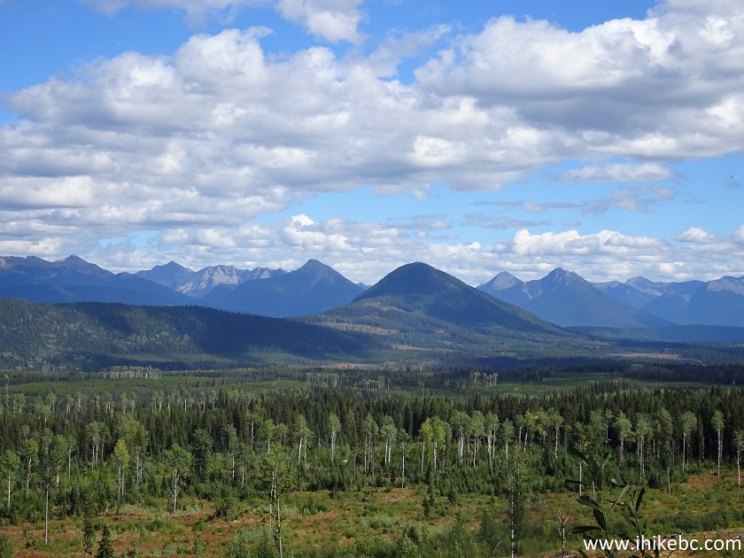
British Columbia Canada
17. Starting Two Sisters Trail. Coordinates:
N 53⁰13.276' W 121⁰29.712'. Elevation: 1,187 meters.
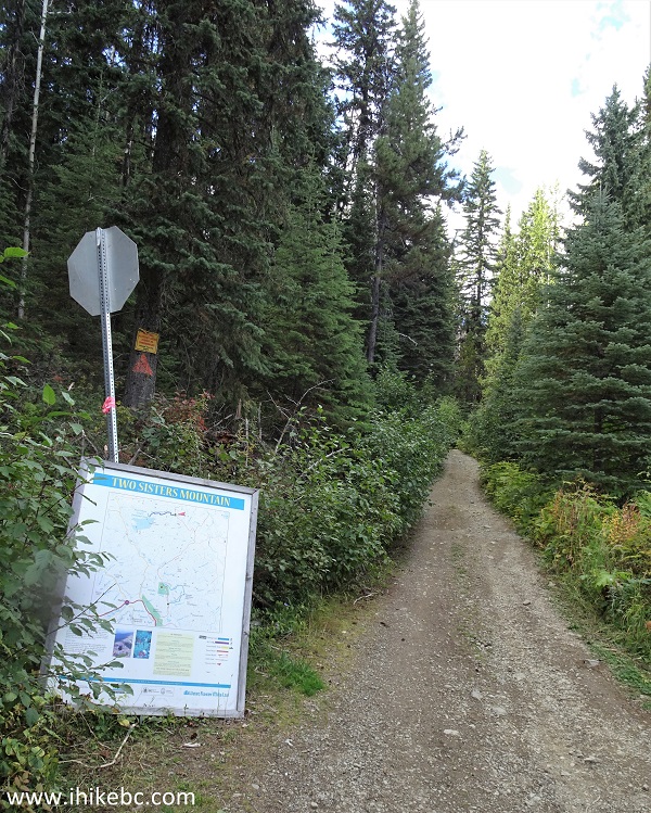
Two Sisters Trailhead - Wells Hiking
18. A map of the trail located at the trailhead.
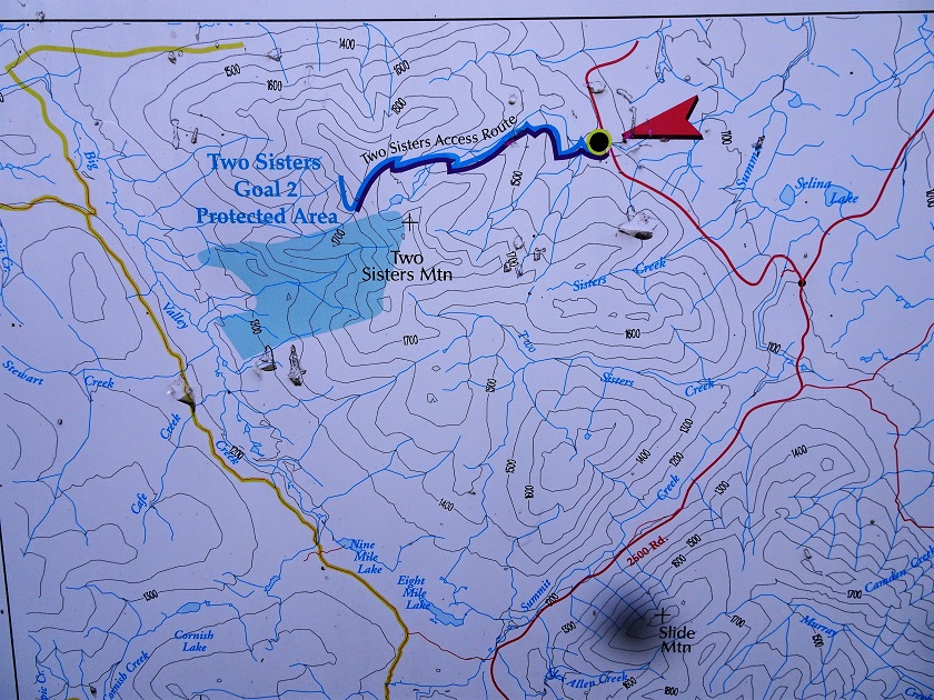
Two Sisters Trail Map - Barkerville Hiking
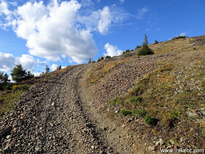
19. For the first 5+ kilometers, it's nothing but a steady climb on a forest service road. Biking on this trail would save a lot of time, especially on the way down. Here we are at the 2.3 km mark (all trail distances are based on a GPS odometer and are approximate).
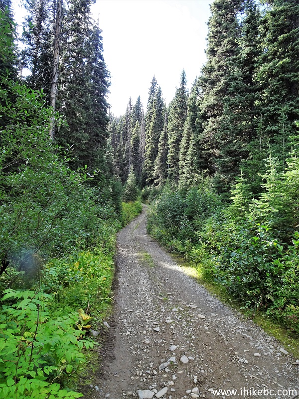
Two Sisters Trail - Wells Hike
20-21. The first good view arrives at 5.2 km. Looking left.
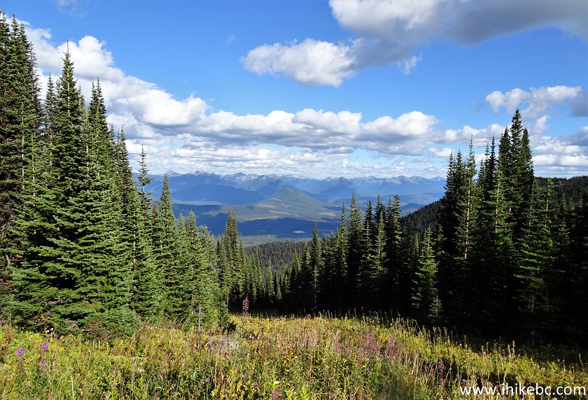
View from Two Sisters Trail - Barkerville Hike
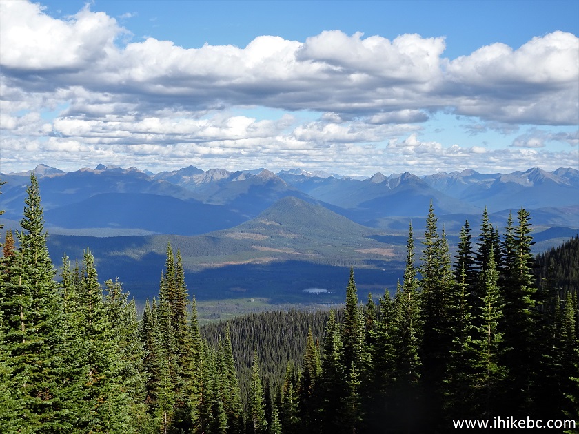
Zoomed View from Two Sisters Trail - Wells BC Trail
22. Just a bit further.
View from Two Sisters Hike - Barkerville Trail
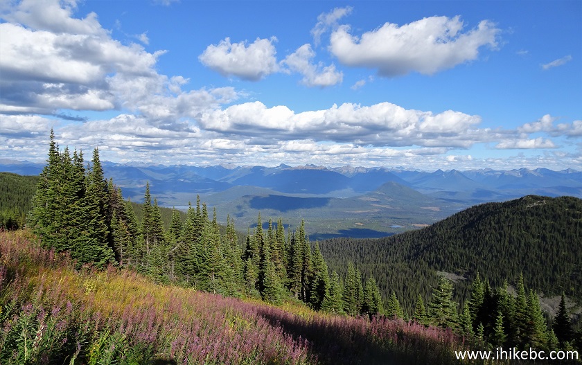
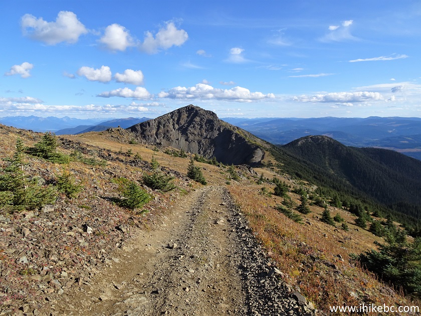
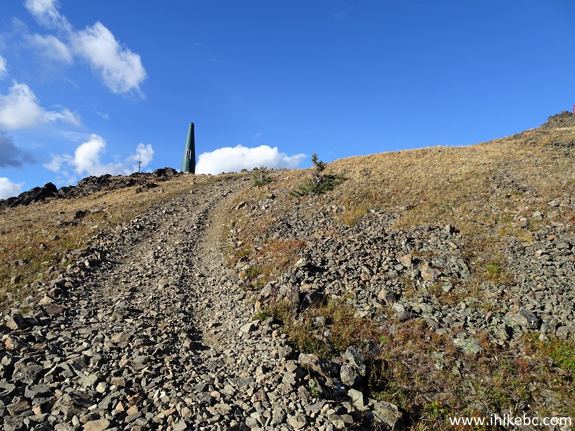
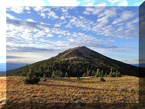
23. "Second Sister" seen at 5.5 km of the Two Sisters Trail.
View from Two Sisters Trail in Wells BC Area
24. Now at 5.74 km of the hike.
Two Sisters Trail in Barkerville BC Area
25. Compare the photo above with this one, from July of 2020. Still lots of snow on the ground.
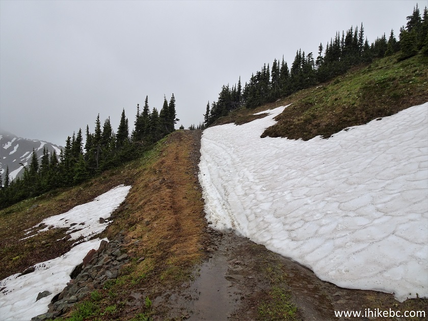
Two Sisters Trail Hike in Wells British Columbia Canada Area
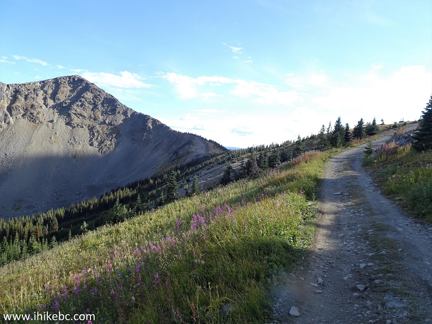
26. At 5.87 km of the trail, there is this "no motorized access" sign, and it prevents driving towards the "Second Sister". Coordinates:
N 53⁰12.704' W 121⁰33.077'. Elevation: 1,945 meters. This is the split where turning left would lead to the peak of the Second Sister in just over a kilometer of tough hiking, and going straight would result in reaching the hut and finishing the Two Sisters Trail in about 700 meters.
Two Sisters Trail Hike in Barkerville BC Area
27. We headed to the hut at first.
Two Sisters Trail in Cariboo Region of British Columbia Canada
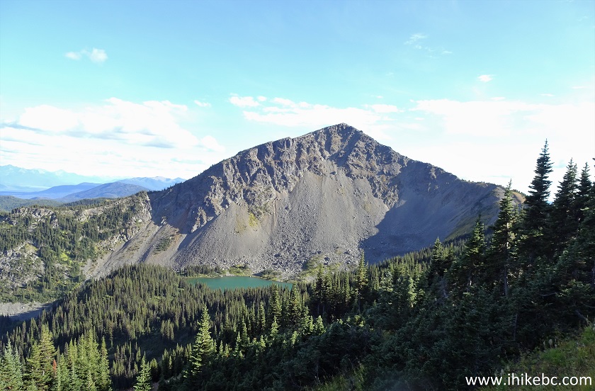
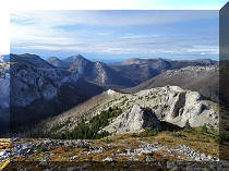
28. Looking back, we see the Second Sister behind us.
Two Sisters Trail - Hiking in Wells BC Area
29. At 6.36 km, the end is near, and we can see the shack, as well as a communication tower to the left.
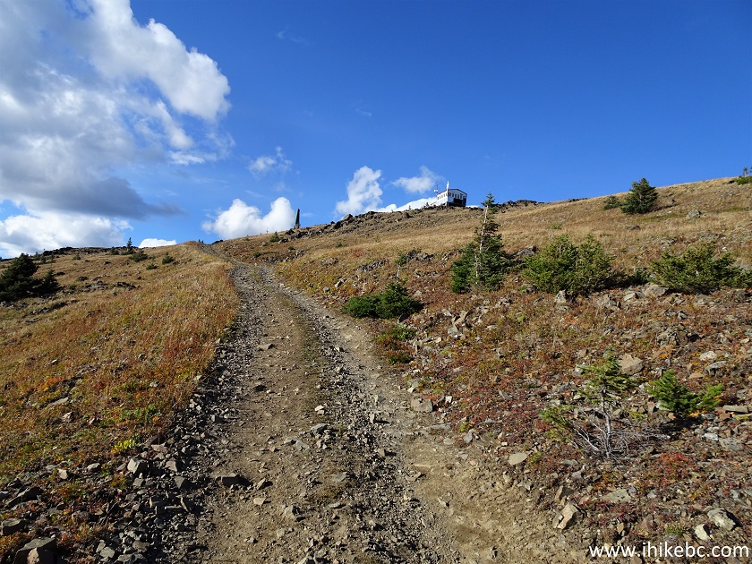
Two Sisters Trail - Hiking in Barkerville British Columbia Area
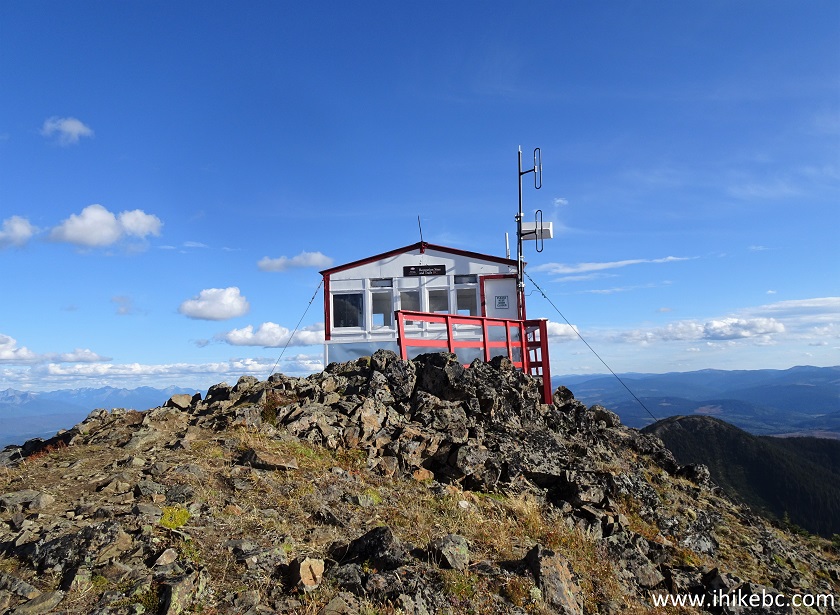
30. Here is the hut/shack up close.
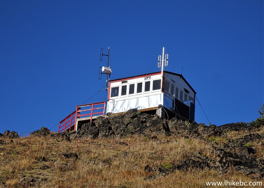
Two Sisters Trail Hut
31. Last year.
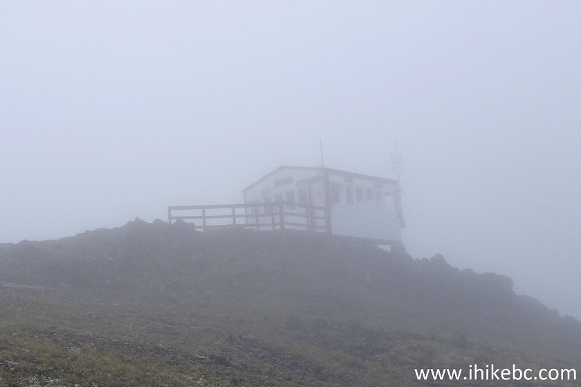
Two Sisters Trail Hut in Fog
32. At 6.45 km, we are almost there.
Two Sisters Trail
33. Hello, Two Sisters Trail hut. Coordinates:
N 53⁰12.972' W 121⁰33.217'. Elevation: 2,071 meters (884 meters elevation gain from the trailhead, for an average grade of about 13.5%).
Two Sisters Trail Hut
34-35. The hut up close today and in 2020.
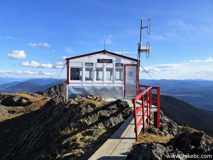
Two Sisters Trail Shack
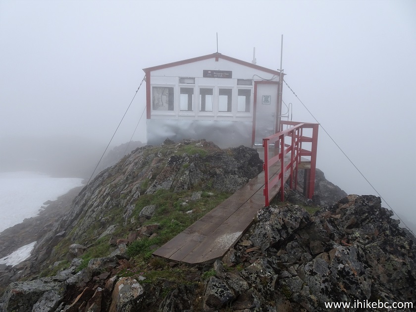
Two Sisters Mountain Hut in Fog
Our Two Sisters Trail Hike Trip Report Continues on Page 2.


|
 |
![]()
![]()
![]()
ihikebc.com Trip 233 - Two Sisters Trail Hike (near Wells and Barkerville BC) Page 1 of 2