![]()
![]()
![]()

Trip 227 - August 23, 2021 (Monday)
Elsay Lake Trail Hike
Mount Seymour Provincial Park near North Vancouver, BС
Page 1 of 2
Liked:
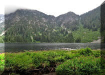
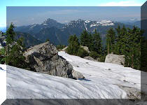
Elsay Lake views, several fine
mountain and valley views, very few bugs, hut by the lake (albeit with a
resident mouse).
Of Note:
A very difficult long (21
km total hiking round-trip from the parking lot) trail suitable for
experienced well-equipped hikers only. Several scrambling sections.
Several small creek crossings. A few boulder fields. The trail is
slightly overgrown in places - long-sleeved shirt and long pants are
recommended. The path is very narrow at times, with steep drop-offs. The
trail starts with a substantial elevation drop (much uphill hiking is
required at the end of the trail on the way back). Hiking poles and
boots are essential.
Vancouver, Coast & Mountains Backroad Mapbook (5th
edition) Trailhead Coordinates:
Page 11
(North Vancouver) G6.
A spectacular Mount Seymour Trail starts in Mount Seymour Provincial Park at the end of Mount Seymour Road near North Vancouver, and leads to some of the best scenery in the Lower Mainland. At 2.8 km of Mount Seymour Trail, a much tougher and not nearly as scenic Elsay Lake Trail begins on the right side.
So, why would anyone hike to Elsay Lake, when Mount Seymour is right there? Perhaps, to avoid the crowds, to see different views, or, maybe, for the challenge of doing this strenuous hike. Elsay Lake Trail has just about everything to test even the most experienced hiker. The ground quite often is a true obstacle course with several scrambling sections. The path is, occasionally, very narrow with steep drop-offs. A few minor creeks need to be crossed, as well as several small-to-medium size boulder fields. The real kicker, though, is that the trail starts with an elevation loss of over 300 meters. Which means that, closer to the end of the 21 km round trip hike (counting from the parking lot), one has to gain 300+ meters to make it back to Elsay Lake trailhead.
We got very fortunate that the temperature today barely reached 20 degrees. And to think that we were contemplating giving this trail a try a few weeks ago, when it was over +30. Nuts! Even with such a cool weather, we were thoroughly exhausted upon returning to the parking lot.
There is a small hut by Elsay Lake. So, if you don't feel like doing this hike all at once, or are interested in fishing and/or exploring the nearby area, there is an option of spending a night or more right by the lake. Beware of a house mouse, which made an appearance during our visit. Fortunately, there is an attic where one can (hopefully) sleep mouse-free.
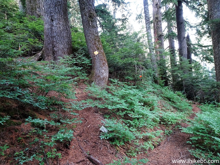
Elsay Lake Trail is mostly easy to follow, with bright orange diamond-shaped markers guiding the way. Occasionally, one has to look around for a bit to figure out where to go next, but, by and large, this is not the most difficult trail to navigate.
A neat feature of this trail are several colonies of bushy-tailed woodrats. Apparently, they are quite common in British Columbia, but we do not recall ever seen or hearing them on any of our hikes. They make funny noises and do look like large fat rats. We have a video of this rodent on Page 2 of this trip report.
1. There are several ways to get from Vancouver to Mount Seymour Provincial Park. No matter which way you take, there is only one road which leads to the parking lots - Mount Seymour Road, which starts off Mount Seymour Parkway. Here we are 10.8 km of Mount Seymour Road after turning left from Mount Seymour Parkway.
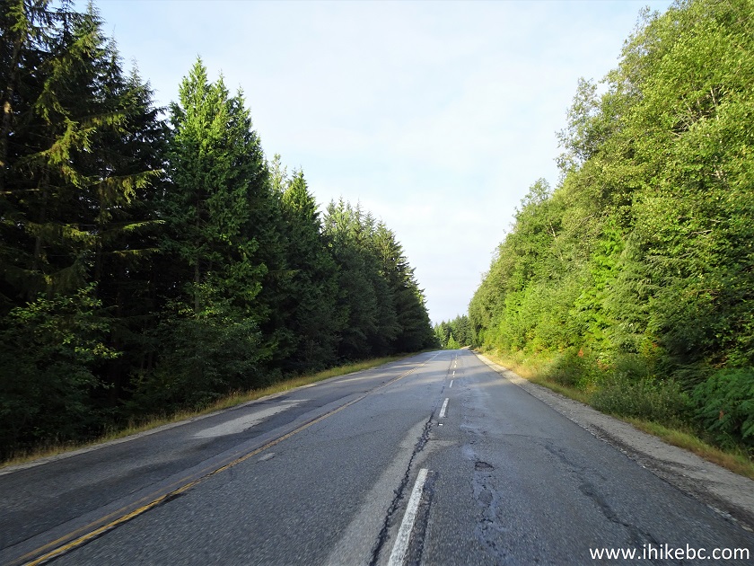
Mount Seymour Road
2. Arriving to the parking lots, 13.3 km from Mount Seymour Parkway. Note that, as of now, lots 3 and 4 (closest to the trailheads) are for day use only. If you plan on staying in the park overnight, do not park in day use lots, or your vehicle might get towed.
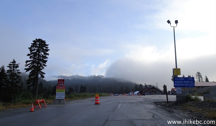
Mount Seymour Road at Parking Lots
3. These big parking lots get very busy on weekends, even in the winter, as there is a ski resort here. The trailheads are straight ahead.
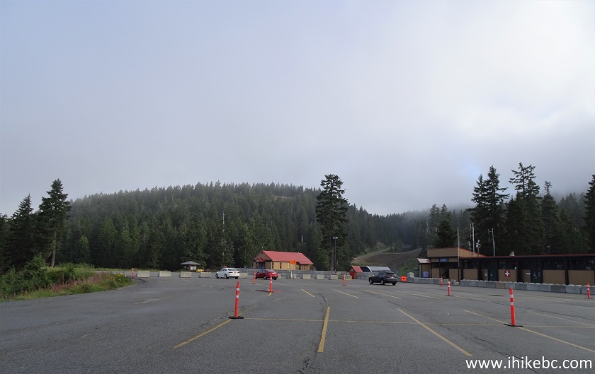
Mount Seymour Parking Lots
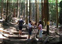
4. Here is an information board at the end of the parking lots. The trailheads are just a hundred meters further down the road. The stand features the usual hiker safety info. We (almost?) never mention the need to be ready for hiking in the wilderness, which is obvious, but this park sees a lot of rescues of stranded and/or injured hikers, and people die here fairly regularly too, so please be prepared even for much easier hikes than Elsay Lake Trail.
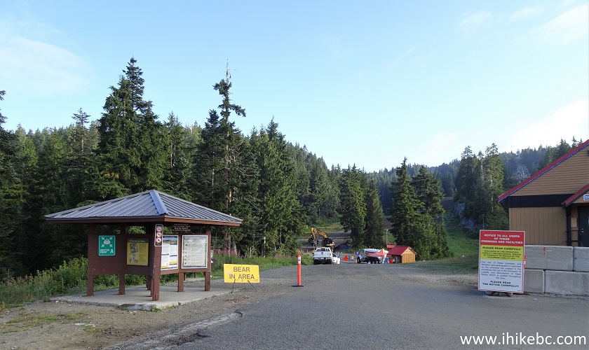
Mount Seymour Provincial Park Information Board Area
5. Here is a park map from the information board. We have indicated the parking lot with a red square, and Elsay Lake trailhead with a blue square.
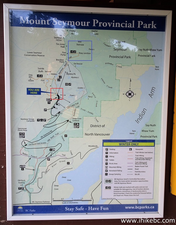
Mount Seymour Provincial Park Map
6-7. This is something new, at least it wasn't here in 2014, when we hiked Mount Seymour Trail - a Park Ambassadors tent right before the trailheads, where a friendly gentleman asks where you are going, and appears to be assessing a hiker's preparedness for the intended trail. A very good idea.
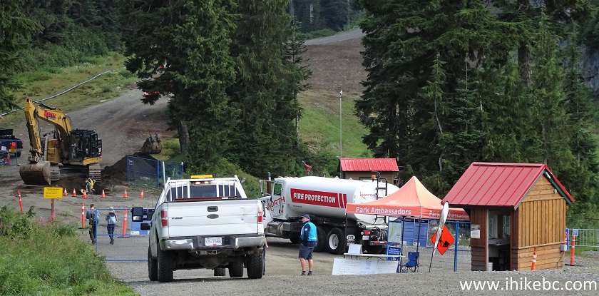
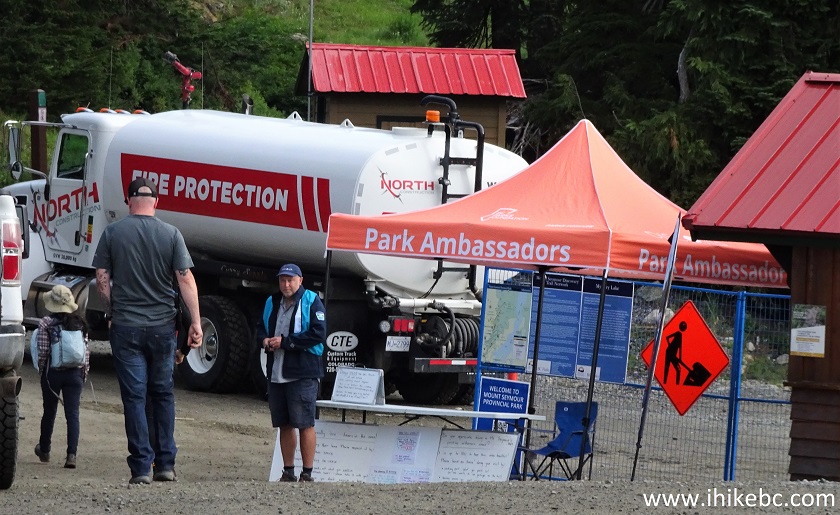
Mount Seymour Park Ambassador
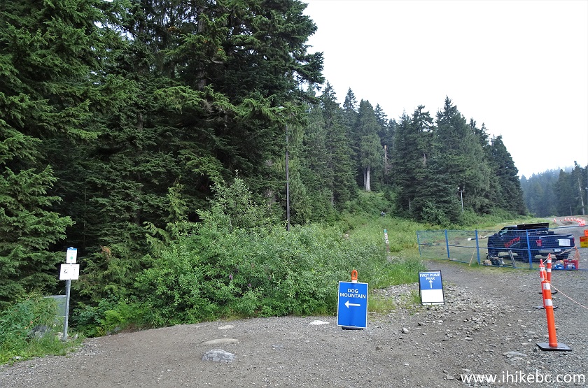
8. Just past the tent, there are trailheads to Dog Mountain (on the left) and Mount Seymour (on the right). Coordinates:
N 49⁰22.056' W 122⁰56.948'. Elevation: 1,014 meters. To get to Elsay Lake Trail, follow Mount Seymour Trail for 2.8 kilometers.
Mount Seymour Trailhead
9. To see more of Mount Seymour Trail before Elsay Lake trailhead, check out our Mount Seymour Trail Hike trip report. Mount Seymour Trail is not nearly as difficult, but still has some challenging stretches. Here we are at 300 meters from the trailhead (all the distances in this trip report are based on a GPS odometer and are approximate).
North Vancouver Hiking - Mount Seymour Trail
10. A neat pond at 1.15 km.
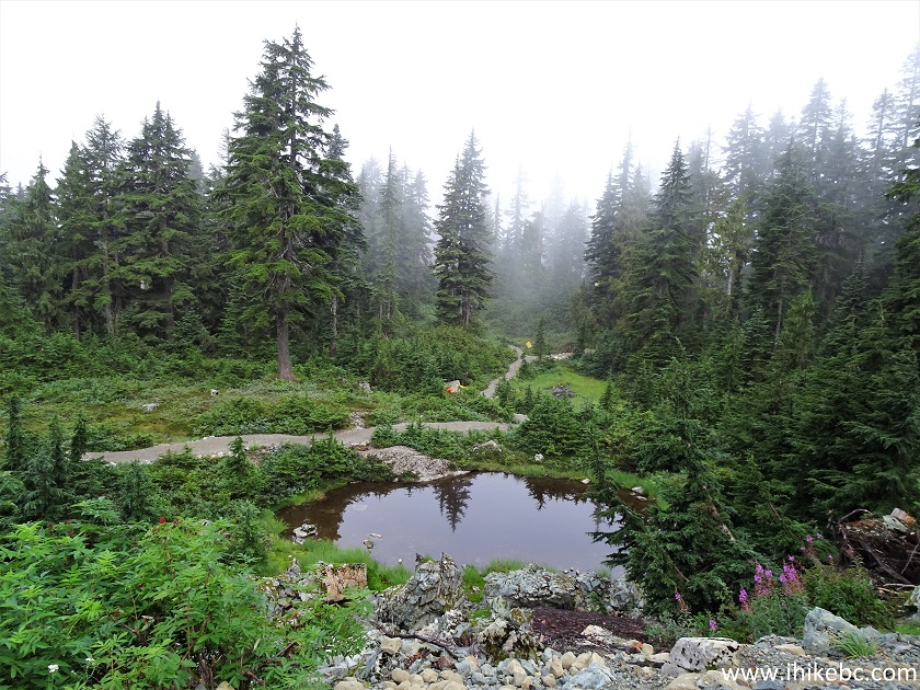
Pond View - Mount Seymour Trail - North Vancouver Trail
11. Mount Seymour Trail at 2.2 km from the trailhead.
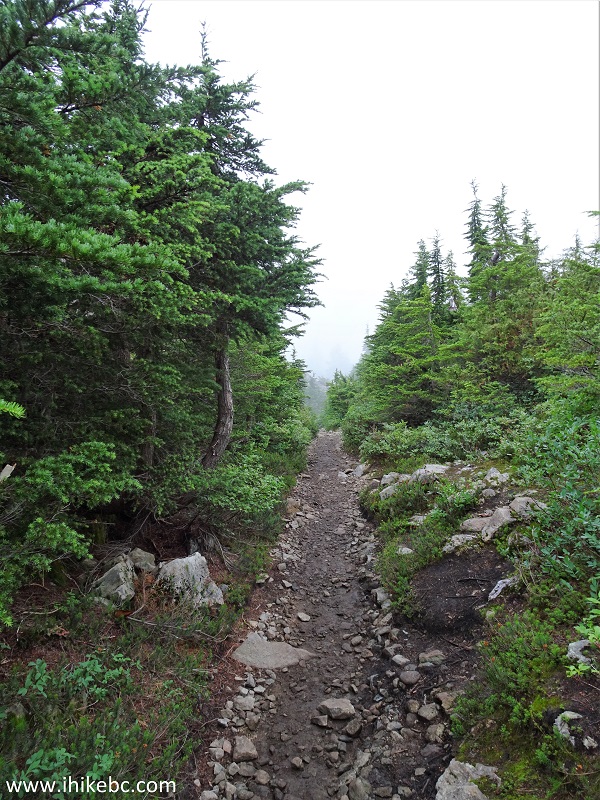
Mount Seymour Trail - North Vancouver Hiking
12-13. It got really foggy after that, making for some interesting photographs. Here is a view at 2.4 km, and the same area without the fog in 2014, when we hiked Mount Seymour Trail.
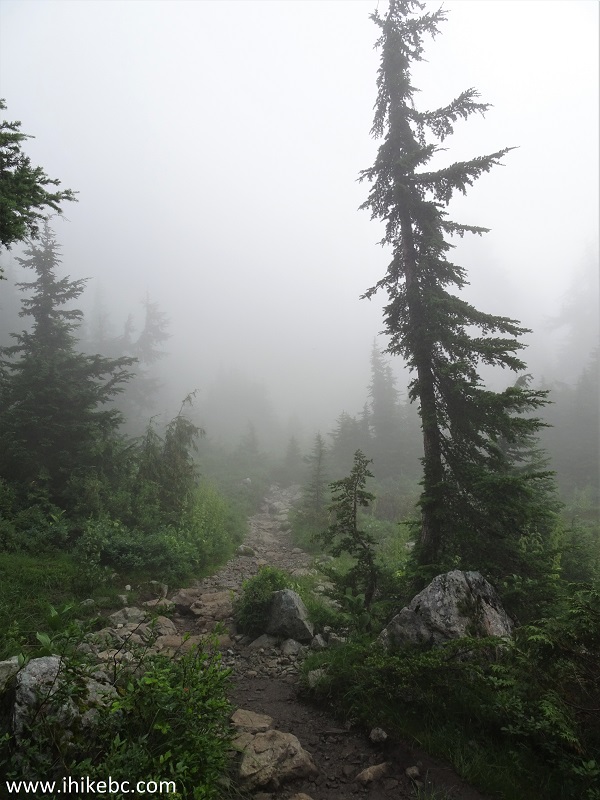
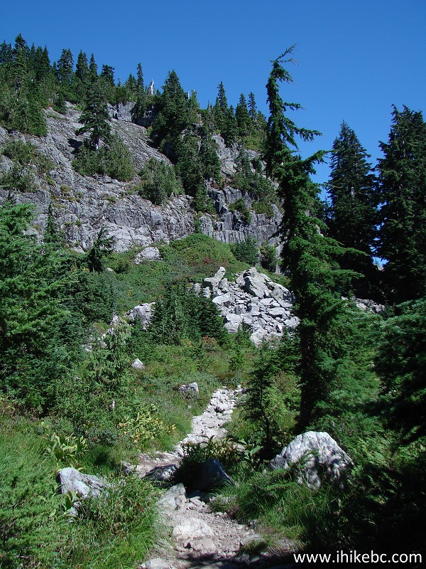
Mount Seymour Trail in North Vancouver BC Area
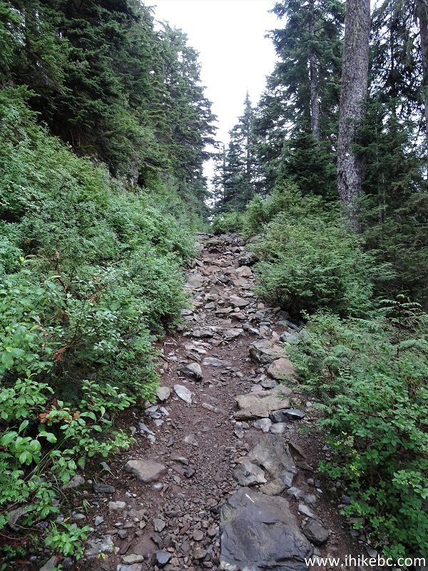
14. Stones and roots at 2.5 km.
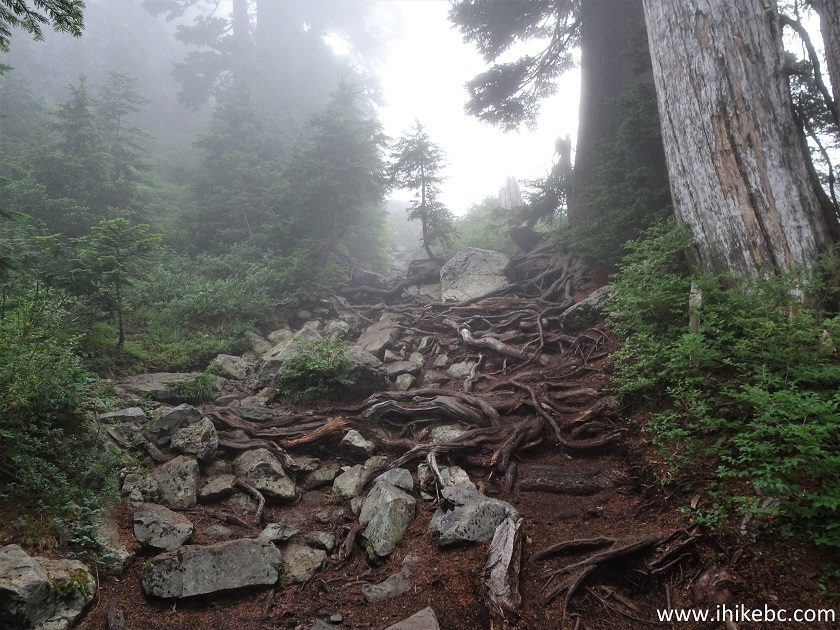
Mount Seymour Hike in North Vancouver Area
15. Approaching Elsay Lake trailhead on the right side.
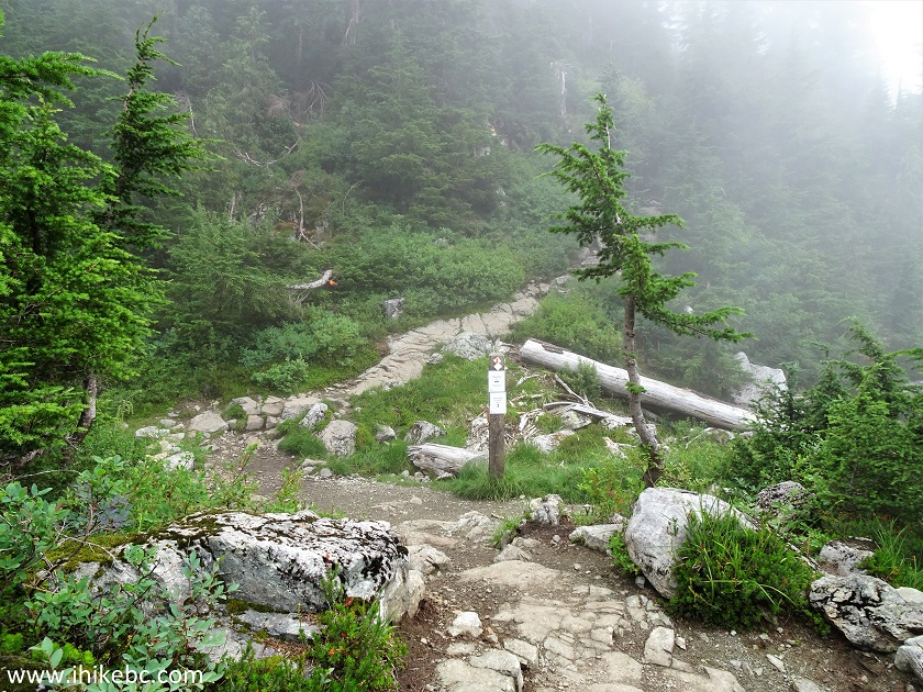
Mount Seymour Trail at Elsay Lake Trailhead
16. And here is the beginning of Elsay Lake Trail, at 2.8 km of Mount Seymour Trail. Coordinates:
N 49⁰23.171' W 122⁰56.173'. Elevation: 1,250 meters.
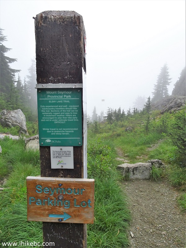
Elsay Lake Trailhead
17. Elsay Lake Trail begins. The signs overhead discourage winter travel.
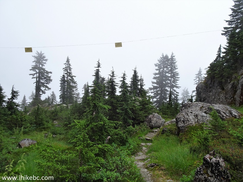
Elsay Lake Trail in Mount Seymour Provincial Park British Columbia
Canada
18. Elsay Lake Trail at 500 meters.
Elsay Lake Trail
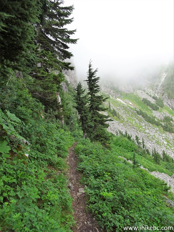
19. Looking left at 640 meters from Elsay Lake trailhead.
View from Elsay Lake Trail in North Vancouver BC Area
Here is our video of the views from approximately this spot. Featuring a bushy-tail woodrat (though one of the viewers believes it's a pika).
More ihikebc videos are on our YouTube Channel.
20. At 1.0 km now. Took the photo on the way back, when the fog was gone.
Elsay Lake Hike
21. 50 meters later.
Mount Seymour Provincial Park - Elsay Lake Trail
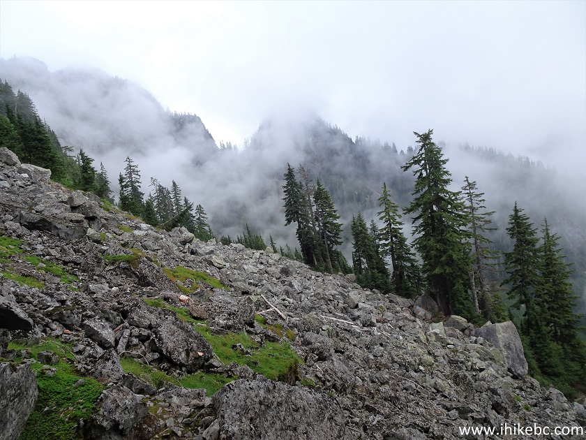
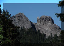
22. A neat small valley on the right side.
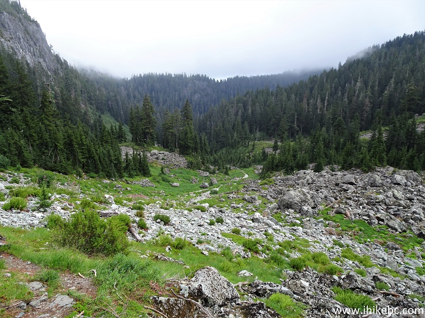
View from Elsay Lake Trail in North Vancouver British Columbia Area
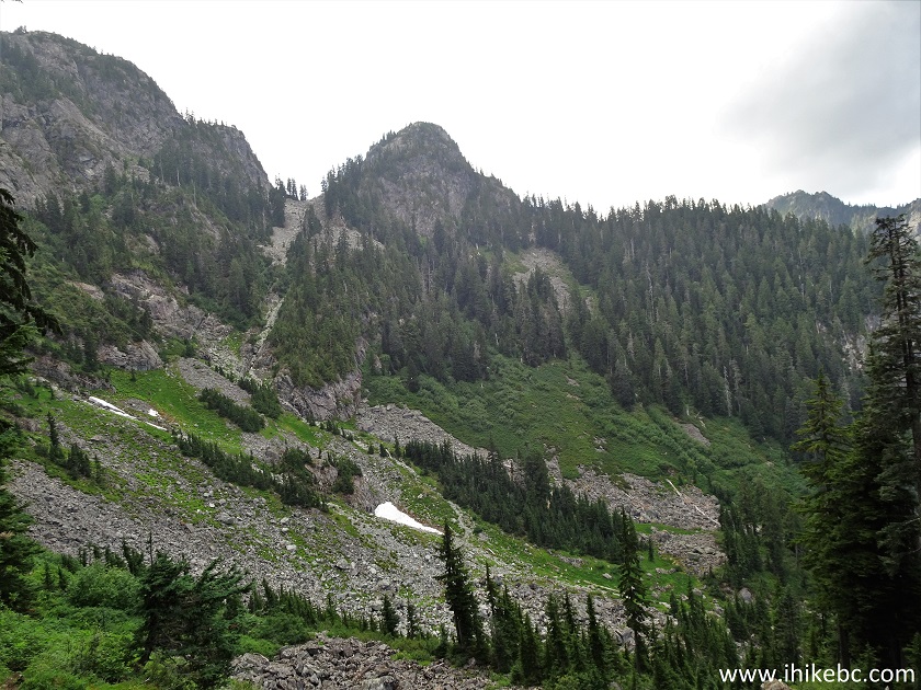
23. The only patch of snow on Elsay Lake Trail arrived at 1.45 km.
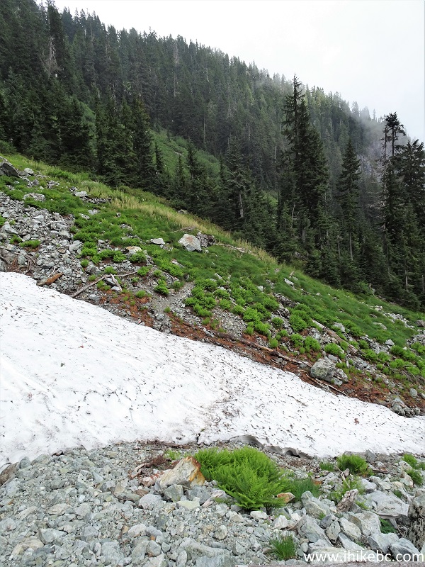
Elsay Lake Trail Hike in British Columbia Canada
24. Now at 1.65 km.
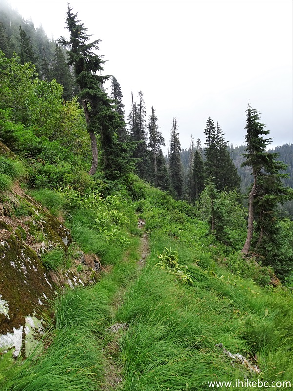
Elsay Lake Hike in Mount Seymour Provincial Park
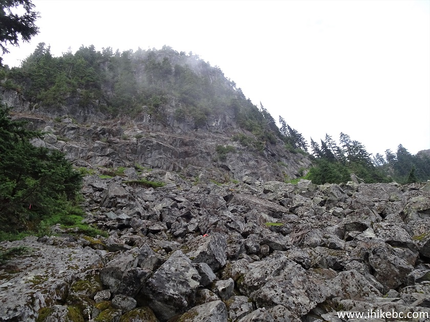
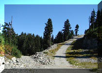
25. At 2.20 km there is a medium-size boulder field, which signals the end of the descent of 300+ meters that started at the trailhead. The trail goes up and down after that, but not by a whole lot.
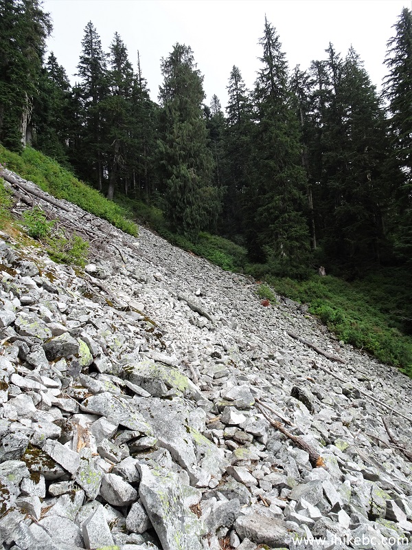
Elsay Lake Trail Boulder Field
26. At 2.4 km, 50 meters past the boulder field, there is a split. To the left is Elsay Mountain Trail. Coordinates:
N 49⁰23.874' W 122⁰55.800'. Elevation: 911 meters. Apparently, it is possible to connect with Mount Seymour Trail and then head back to the parking lot, but we have not hiked this trail, so don't know for sure. Elsay Lake Trail continues on the right side.
Elsay Lake Trail at Elsay Mountain Trailhead
Our Elsay Lake Trail Hike trip report Continues on Page 2.


|
 |
Other Trips in North Vancouver Area:
|
|
|
|
|
|
|
|
|
|
|
|


![]()
![]()
![]()
ihikebc.com Trip 227 - Elsay Lake Trail Hike (near North Vancouver BC) Page 1 of 2