![]()
![]()
![]()

Trip 215 - June 4, 2021 (Friday)
Centennial Trail Hike
Sumas Mountain - Abbotsford BC
Liked:
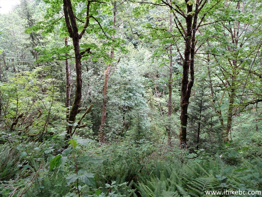
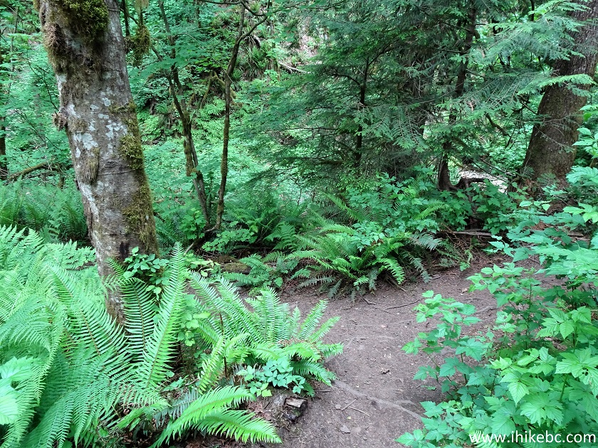
View from Eastern Viewpoint (Abbotsford, Chilliwack, Fraser Valley, Fraser River, Chilliwack River, surrounding mountains), several fine forest scenes, shade in the forest, lush fern along the trail, very few bugs.Of Note:
Steep unbarricaded drop-offs at the viewpoint, industrial and other urban noises for much of the trail, easy-to-moderately challenging trail with several short steep sections. Hiking poles and boots are highly recommended.Vancouver, Coast & Mountains Backroad Mapbook (5th edition) Trailhead Coordinates: Page 3 (Abbotsford) G5.
103 Hikes in Southwestern British Columbia (2008 edition): hike #62.
Another Hike on Sumas Mountain: Taggart Peak Trail Hike.
Centennial Trail is an 8 km-long (one way) hike up Sumas Mountain in Abbotsford via Chadsey Lake to a very impressive Eastern Lookout. The trail is mostly moderately difficult, with some easy sections. There appears to be a shorter route to Eastern Lookout, as a sign closer to Chadsey Lake points to a "parking lot", which could be a trailhead which starts off Taggart Road.
The Centennial Trail trailhead is difficult to find, as it sits obscurely on the side of Sumas Mountain Road, partially hidden by encroaching vegetation. The only trail sign on Sumas Mountain Road points to the Taggart Road trailhead, and only a GPS with Backroad Mapbook software allowed us to find Centennial Trail.
This hike has several distinctive parts. First, an easy walk through a lush, almost semi-tropical forest to a T-junction. Then, a path through regular forest to a forest service road (unclear which one), where the trail re-enters the forest 50 meters later, and goes by a logged area before eventually getting to Chadsey Lake. After the lake, the most difficult part arrives, with a 2 km-long steady climb to that impressive Eastern Lookout. Watch for steep unbarricaded drop-off while admiring the impressive lookout views.
1
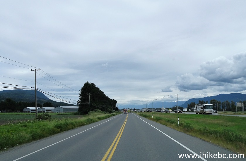
. We are Eastbound on North Parallel Road, after exiting Highway 1 at Whatcom Road in Abbotsford. Highway 1 is to our right.
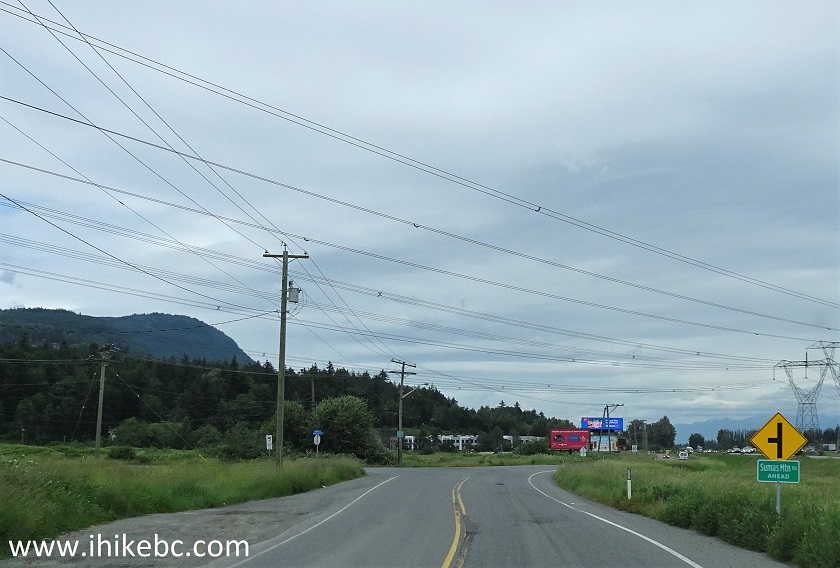
2. Approaching Sumas Mountain Road on the left side. It's located 2.4 km from Whatcom Road.
3. Sumas Mountain Road after the turn from North Parallel Road.
4. Sumas Mountain Road 4.6 km from North Parallel Road.
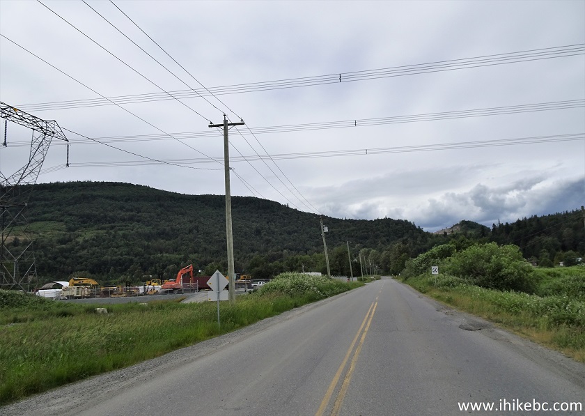
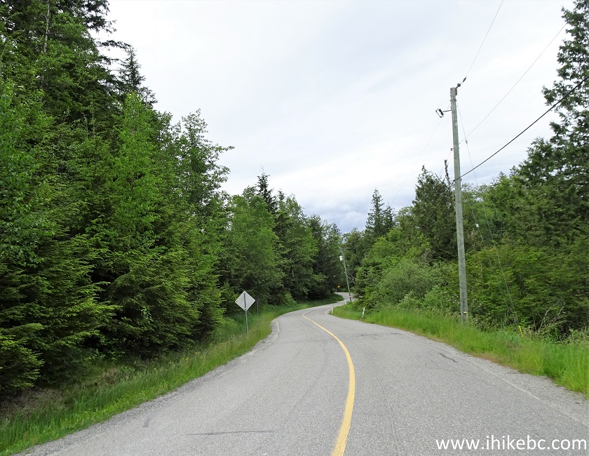
5. Just before the intersection with Batt Road, the one and only hiking sign appears on Sumas Mountain Road.
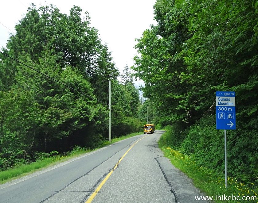
6. Sumas Mountain Road at Batt Road on the right side, 7.9 km from North Parallel Road. For Centennial Trail, drive straight.
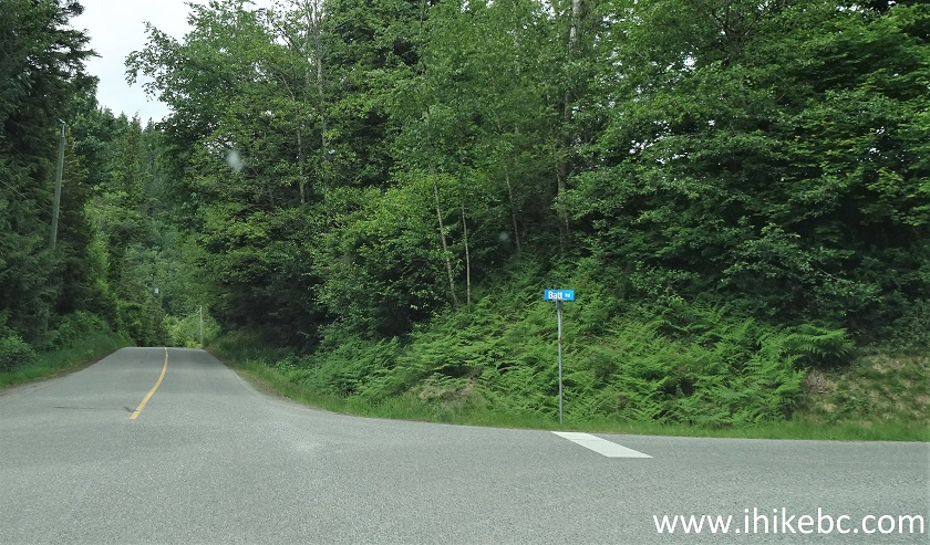
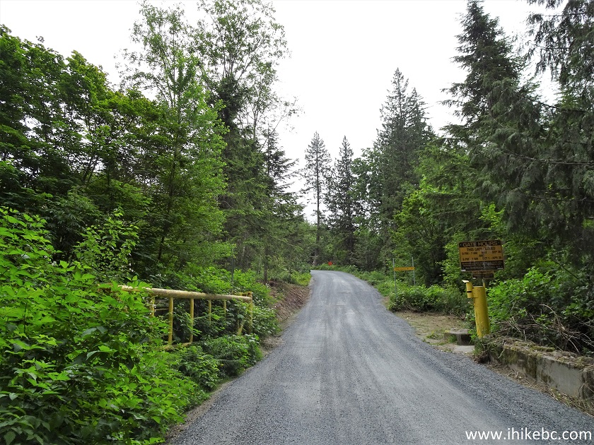
7. If you would turn right onto Batt Road, and then on Taggart Road, then, in a few kilometers, you would end up before a gate, which gets closed overnight. Chances are, this is the way to a shorter trail which also ends up at Eastern Lookout, but it's just a guess.
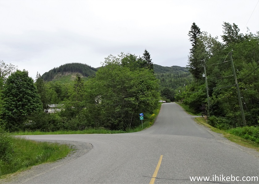
8-9. So, we kept straight on Sumas Mountain Road, and, one kilometer after Batt Road, it reached Carlyle Road. To make things even more confusing, there might be another trail starting further down Carlyle Road, but we turned left to stay on Sumas Mountain Road.
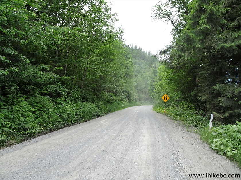
10. 200 meters after Carlyle Road, Sumas Mountain Road becomes semi-rough gravel road.
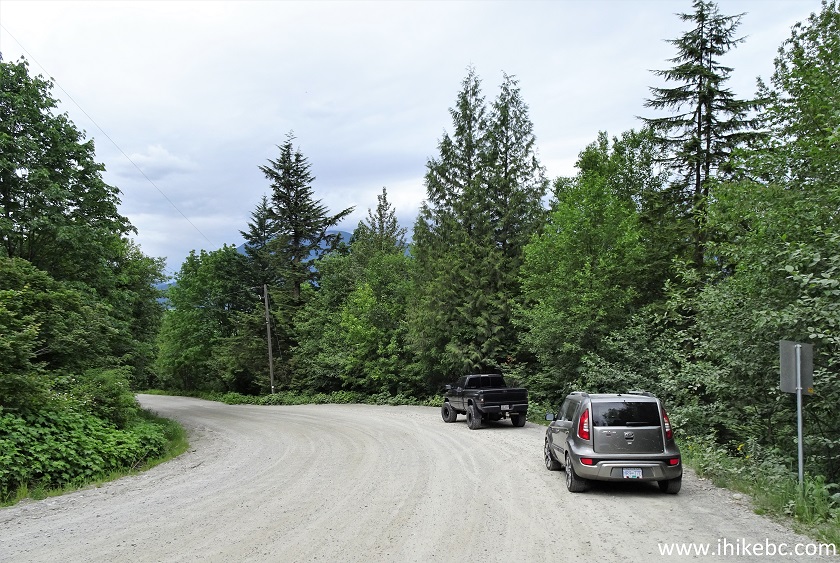
11. And, 700 meters from Carlyle Road (and 9.6 km from North Parallel Road), Centennial Trail trailhead arrives on the right side, where the cars are seen parked in the photo below.
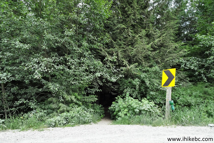
12-13. Here is that trailhead, hiding in the bushes. Coordinates: N 49⁰07.327' W 122⁰11.310'. Elevation: 175 meters. A great help in finding it is a sharp turn sign (a black arrow on a yellow background), as the trail is immediately to the left of it.
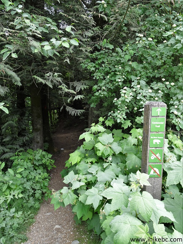
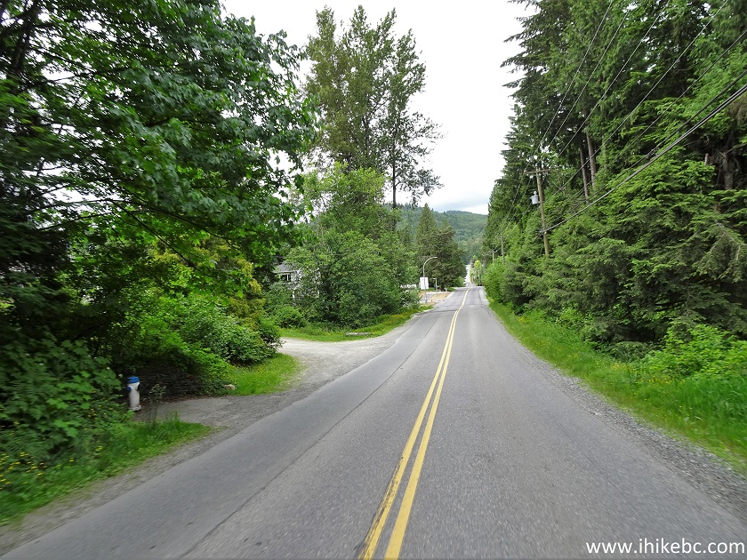
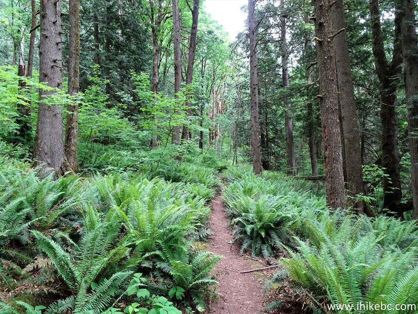
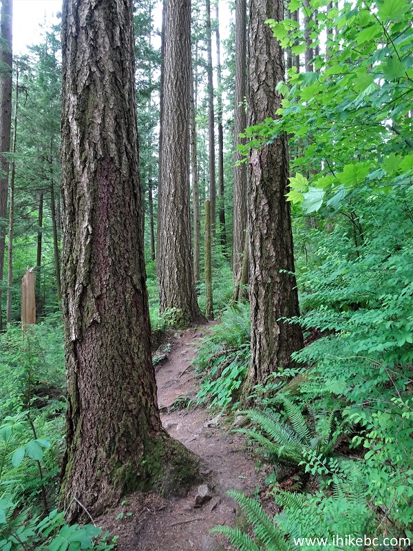
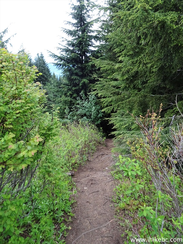
14. The beginning of Centennial Trail is very pleasant, as lush fern along with some occasionally encroaching vegetation surround you for the first kilometer or so.
15. Looking left at 550 meters. Almost semi-tropical, isn't it?
16. At 700 meters, there is a T-junction. Coordinates: N 49⁰07.253' W 122⁰10.873'. Elevation: 155 meters. Just where is this trail on the right coming from? Perhaps, Carlyle Road? Anyway, turn left here.
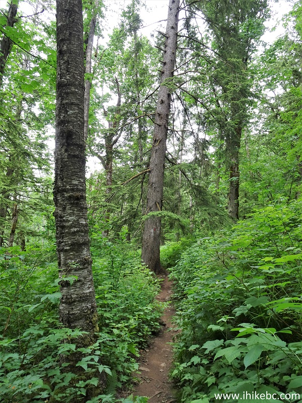
17. Centennial Trail at 1.6 km (all trail distances are based on a GPS odometer and are approximate). Fern!
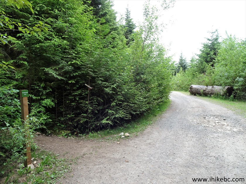
18. At 2.6 km, the trail reaches a forest service road. Coordinates: N 49⁰07.124' W 121⁰10.215'. Elevation: 406 meters. Make a right turn.
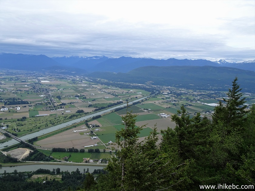
19-20. 50 meters later, turn left to re-enter the forest.
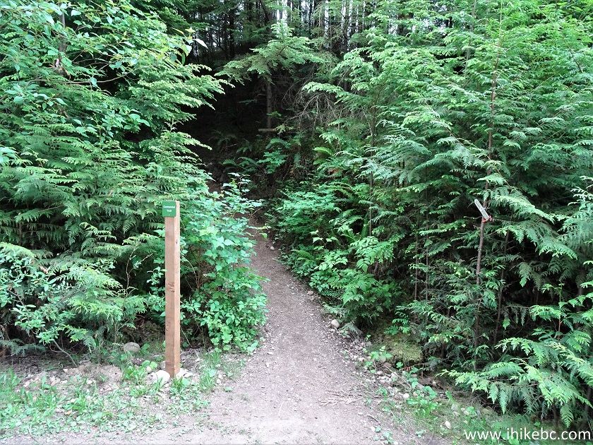
21. After that, the trail goes by a somewhat logged area, arguably the least appealing part of the hike. Then, it gets better.
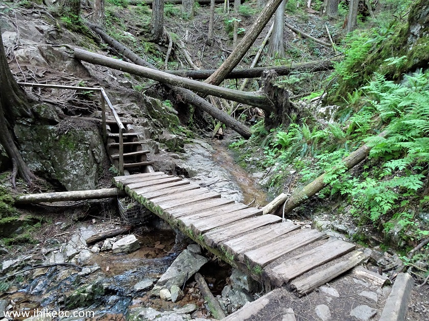
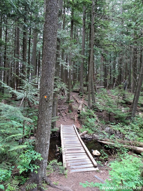
22. A neat bridge at 4.65 km of Centennial Trail.
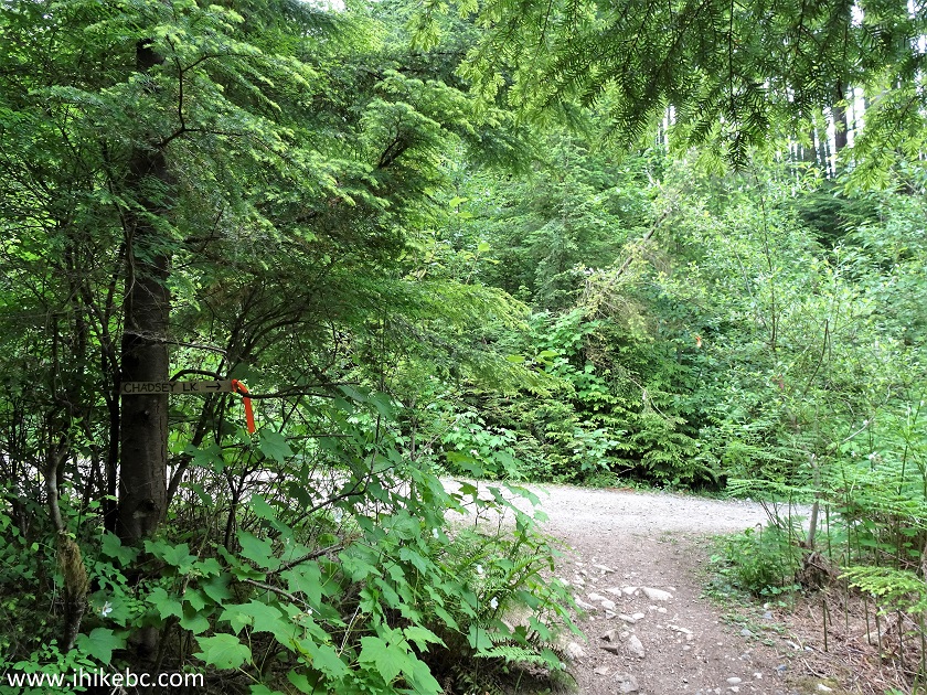
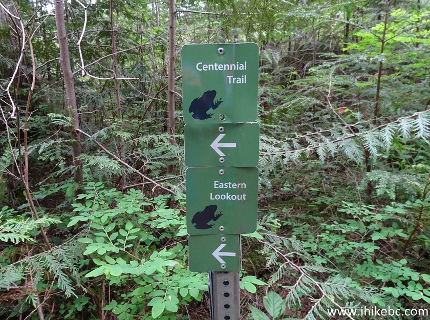
23-24. At 5.3 km, just before Chadsey Lake, there is yet another junction, and a sign indicates that Centennial Trail, as well as Eastern Lookout, are to the left. A sign to a "parking lot", which (a guess) possibly leads to a trailhead off Taggart Road, is located several hundred meters earlier.
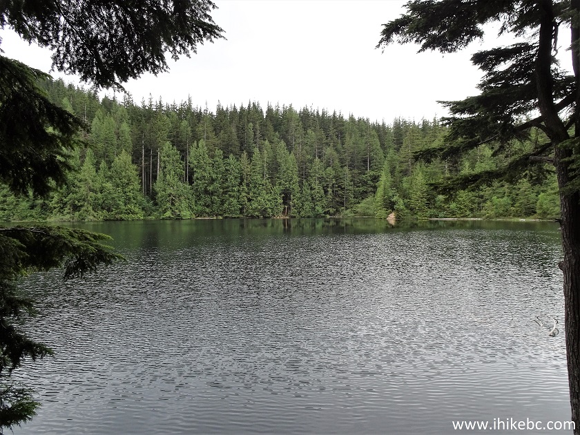
25. Chadsey Lake might be good for fishing and swimming, but does not boast any particular beauty. Several posted signs prohibit camping and fires by the lake.
26. The path along the lake is about 700 meters long, and includes this bridge.
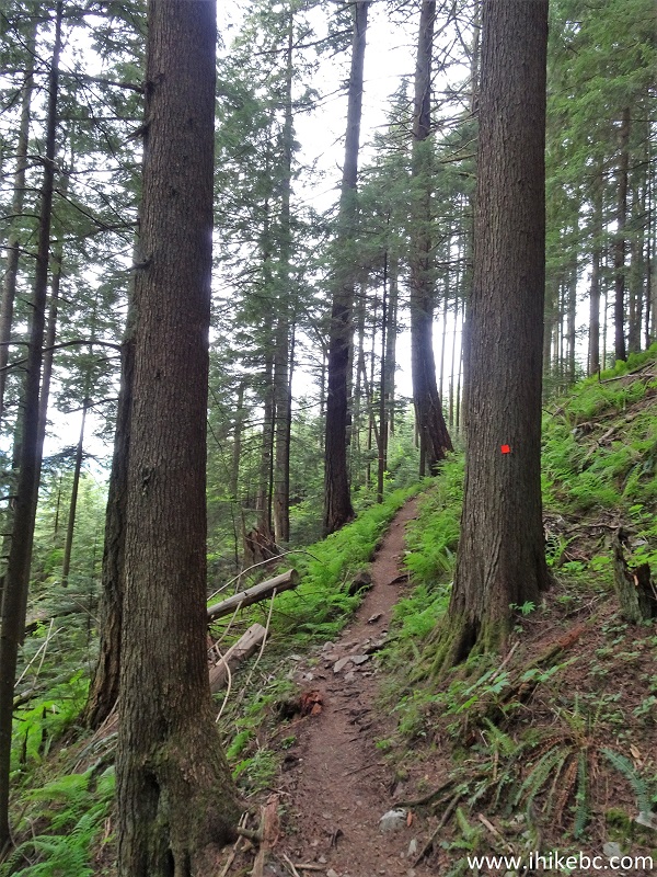
27. Now the most difficult part of the hike begins. The last two kilometers after Chadsey Lake is a moderately challenging climb to the lookout.
28. At 7.8 km from the trailhead, we have reached Sumas Peak. Overgrown, nothing to see.
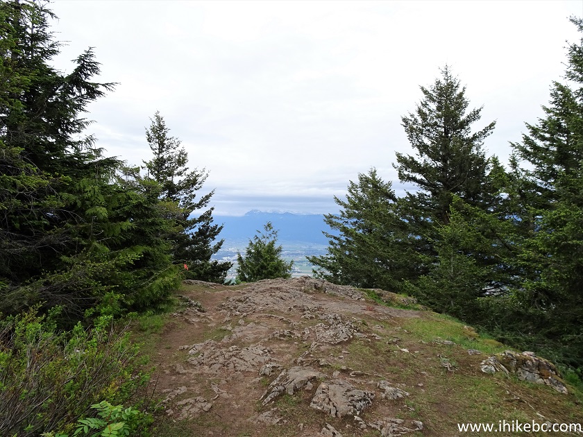
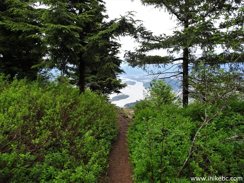
29. Proceed 223 meters further...
30...and Eastern Lookout is right there. Coordinates: N 49⁰07.307' W 121⁰07.608'. Elevation: 873 meters (698 meters elevation gain from the trailhead). WARNING - DANGEROUS AREA - STEEP UNBARRICADED DROP-OFF AT THE LOOKOUT.
31-33. And what a lookout it is! The photos are good, but with your own eyes you can see this vast area all at once. Even on a cloudy day it was mighty impressive. With the sun out, this is going to be spectacular. Left to right.
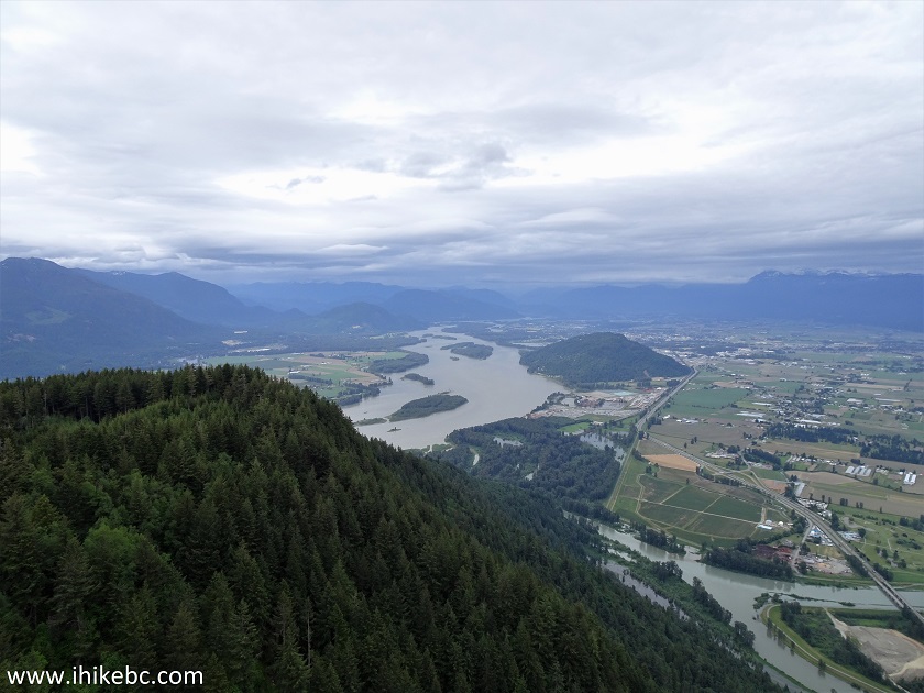
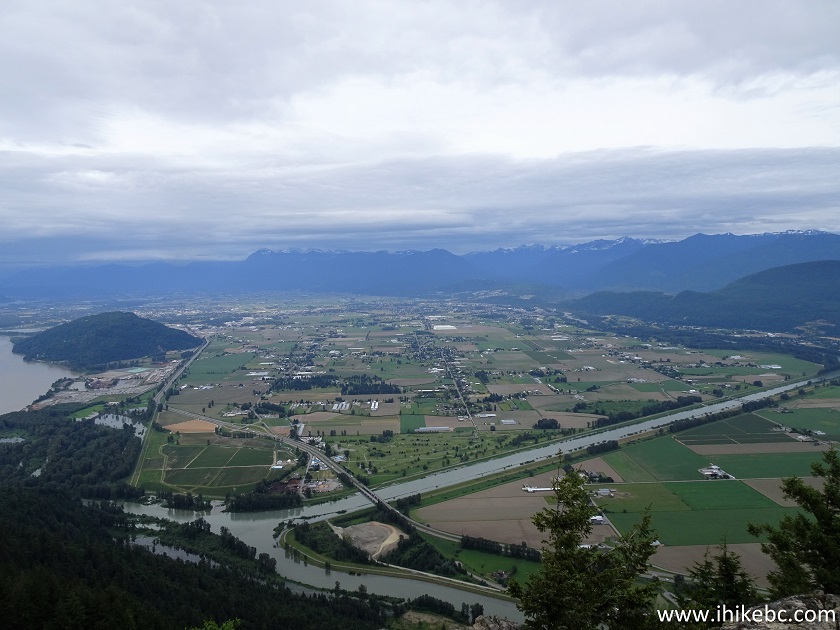
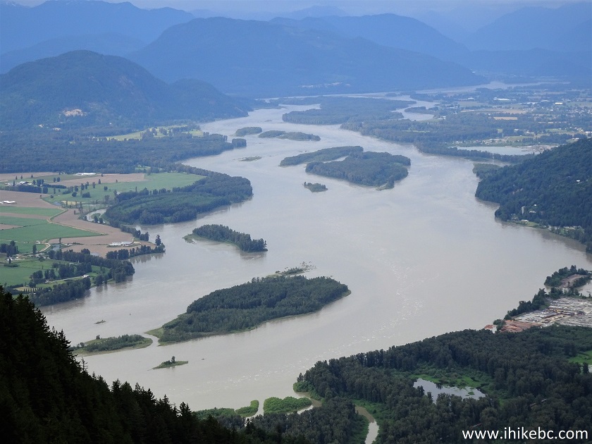
34. Fraser River close-up.
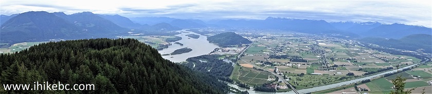
35. A panorama of it all.
Here is our video of the views from this location.
More ihikebc videos are on our YouTube Channel.
It took us 3 hours to get to the viewpoint, and 2 hours to get back. Centennial Trail, despite being fairly long at 16 kilometers round-trip, has several fine forest scenes and leads to a great Eastern Lookout viewpoint. Highly recommended.


|
 |
![]()
![]()
![]()
ihikebc.com Trip 215 - Centennial Trail Hike (Sumas Mountain - Abbotsford BC)