![]()
![]()
![]()

Trip 206 - May 10, 2021 (Monday)
Tikwalus Heritage Trail Hike
Formerly First Brigade Trail
Between Yale and Boston Bar BC
Liked:
Information signs along the trail with historical facts about the trail and the local indigenous culture, Fraser Canyon and Fraser River views, mountain views, several fine forest scenes, the upper part of the trail is a loop, few bugs.
Of Note: Traffic noise from Highway 1 and train whistles for much of the trail. The trail is steep for the first 2.6 kilometers, and moderately difficult after that. Steep unbarricaded drop-offs at Canyon viewpoint. Hiking poles and boots are highly recommended.
Vancouver, Coast & Mountains Backroad Mapbook (5th edition) Trailhead Coordinates: Page 26 (Boston Bar) F6.
103 Hikes in Southwestern British Columbia (2008 edition): hike #82.
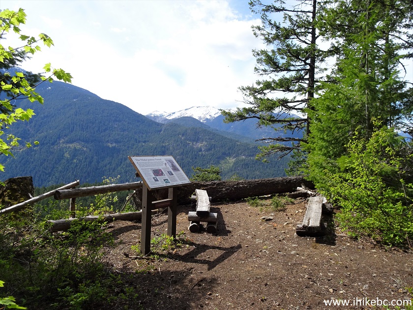
Tikwalus Heritage Trail is located by Highway 1 near Alexandra Lodge, between Yale (24 km to the West) and Boston Bar (17 km to the East). It is formerly known as First Brigade Trail, and appears to have been renamed in order to honour the culture of the local indigenous people. Numerous small information signs throughout the trail tell various facts about the lives and traditions of the Nlaka'pamux people, as well as some stories of Hudson Bay Company's use of this trail a few times to haul furs and supplies between the coast and the interior.
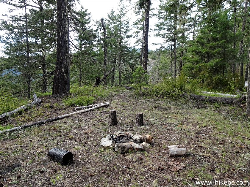
The trail is quite steep for the first 2.6 km, until Chief Pahallak viewpoint. After that, the going gets easier, if not completely carefree. The upper part of the Tikwalus Heritage Trail is a loop, and the trail ends at a large campsite 4.2 km from the start of the hike, with several fire rings, a picnic table, a food cache, and a pit toilet. It is, theoretically, possible, to go further and to connect with Gate Mountain Trail in about a kilometer of hiking, but we have not gone that far.
The views from several viewpoints are very good. You can see Fraser Canyon, Fraser River, and the surrounding mountains. For the best views when the sun is out, hike early in the morning, to avoid sun glare in your eyes when checking out the views. The trail goes through a fine forest, and there are a few interesting forest scenes along the way.
1. We are Eastbound on Highway 1, East of Yale.
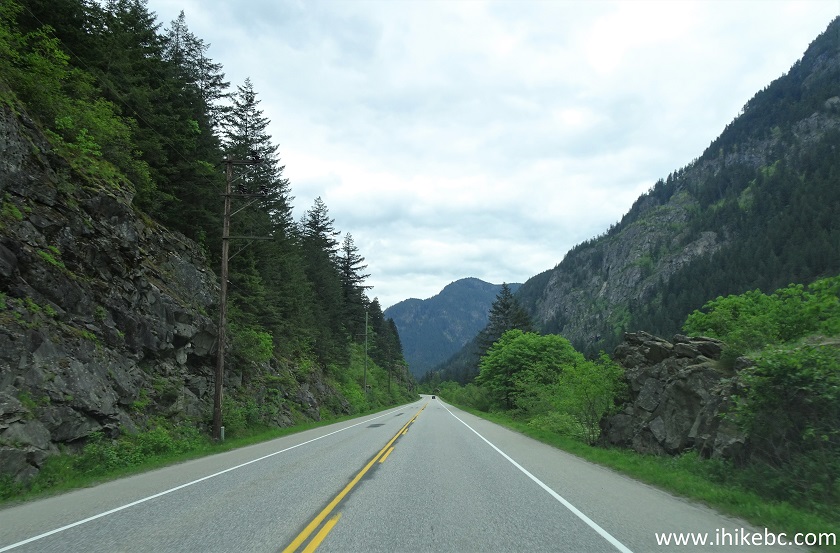
TransCanada Highway 1 East Near Yale BC
2. Passing by Alexandra Lodge, located 400 meters prior to the Tikwalus Heritage Trail.
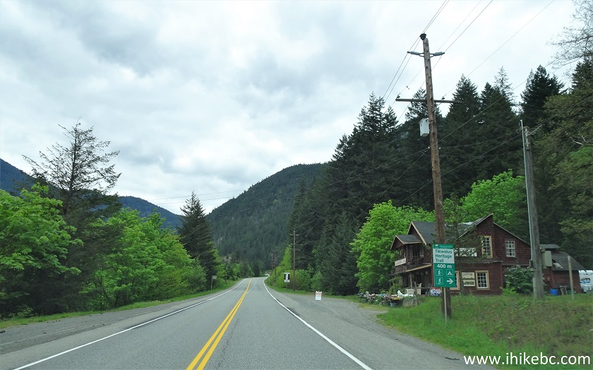
TransCanada Highway 1 East near Alexandra Lodge
3. Approaching the trailhead parking lot. It is large enough for about 20 vehicles. Coordinates:
N 49⁰43.379' W 121⁰25.294'. Elevation: 139 meters. A smaller lot is located just a bit to the West.
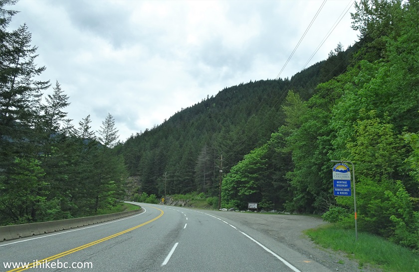
TransCanada Highway 1 East at Tikwalus Heritage Trail Parking Lot
4. Here is a map of the trail, located on the information board seen at the far end of the parking lot in the photo above. We have indicated as follows: red square - trailhead, blue square - campsite (trail end), red arrow - A.C.Anderson Viewpoint, white arrow - Chief Pahallak Viewpoint, purple arrow - campsite viewpoint.
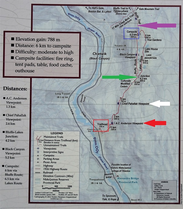
Tikwalus Heritage Trail Map
5. The trailhead is a bit tricky to find, but it is located at the Eastern end of the parking lot, past the information board.
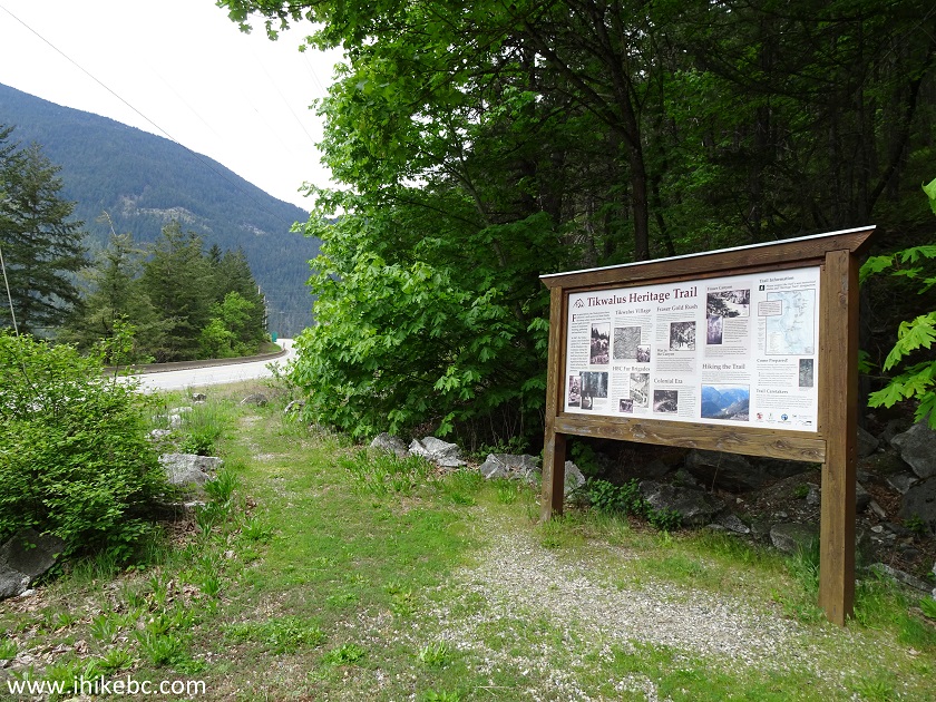
Tikwalus Heritage Trail Parking Lot Information Board
6. Here it is.
Tikwalus Heritage Trail Trailhead
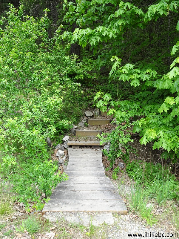
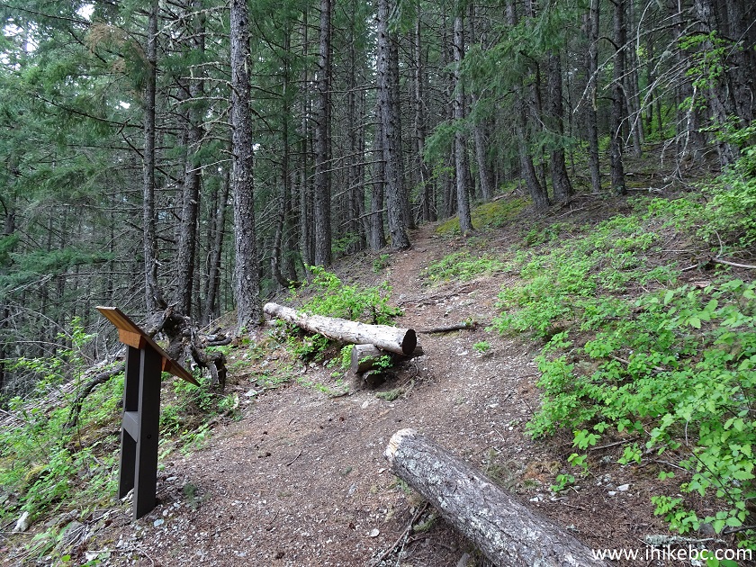
7. For the first 2+ kilometers, a series of switchbacks make the grade less onerous, but it's a tough trail, nonetheless.
Tikwalus Heritage Trail - Boston Bar Hiking
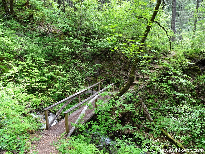
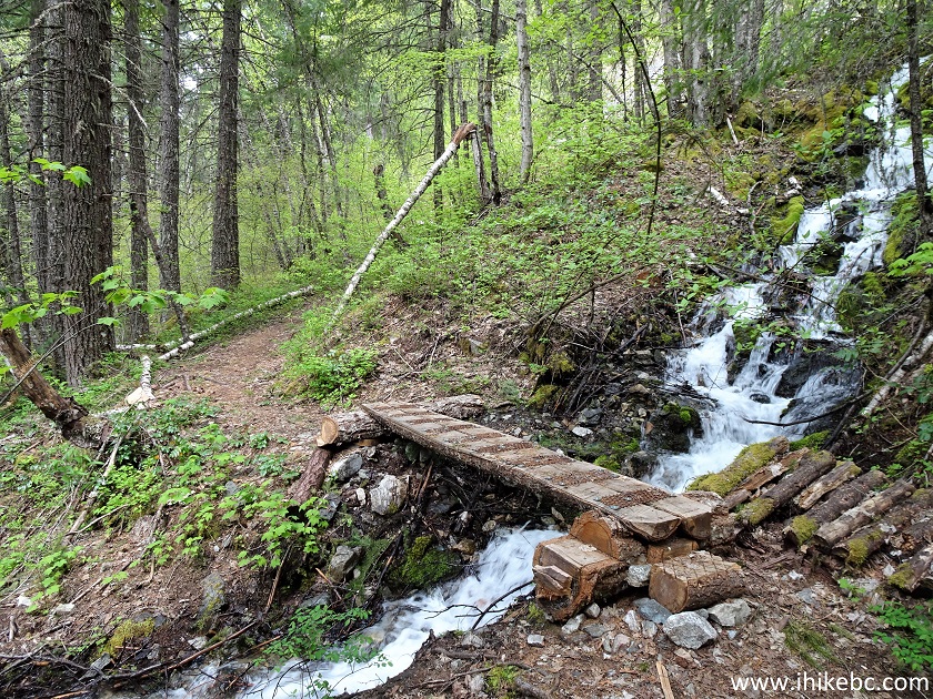
8. A neat bridge at the 170 meter mark of the hike (all distances are based on a GPS odometer and are approximate).
Tikwalus Heritage Trail - Hike in Boston Bar BC Area
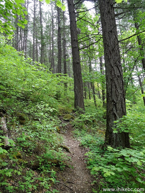
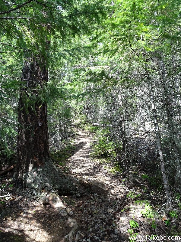
9. It's a pleasant forest, though the traffic noise from the nearby Highway 1, as well as rather frequent train whistles, make for a less than serene hiking environment.
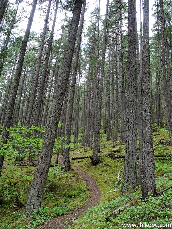
Hike in Yale BC Area - Tikwalus Heritage Trail
10. Arriving at A.C.Anderson viewpoint, at the 1.3 km mark.
Tikwalus Heritage Trail AC Anderson Viewpoint
11. The view is getting overgrown. Descending for a few meters allows for a less obstructed view.

View from AC Anderson Viewpoint on Tikwalus Heritage Trail near Boston
Bar BC Canada
12. Moving on towards much better views.
Tikwalus Heritage Trail - Yale BC Area Hiking
13. Another fine bridge, this one at 2.2 km.
Tikwalus Heritage Trail
14. A small rock field awaits before the arrival of good views.
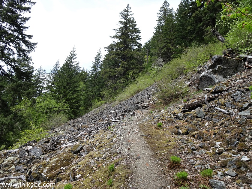
Tikwalus Heritage Trail - Boston Bar Trail
15. That's much better.
View from Tikwalus Heritage Trail
16. Approaching Chief Pahallak Viewpoint.
British Columbia Hiking
17. Here it is, at 2.6 km mark of the trail. Coordinates:
N 49⁰43.873' W 121⁰24.730'. Elevation: 675 meters. This makes it a 20%+ grade trail up to this point.
Tikwalus Heritage Trail - Chief Pahallak Viewpoint
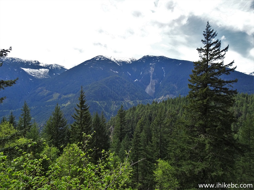
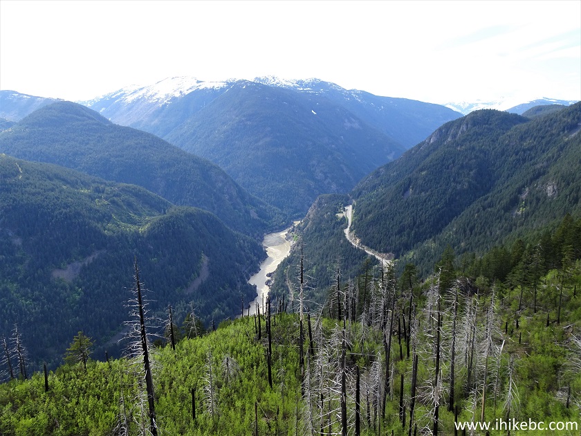
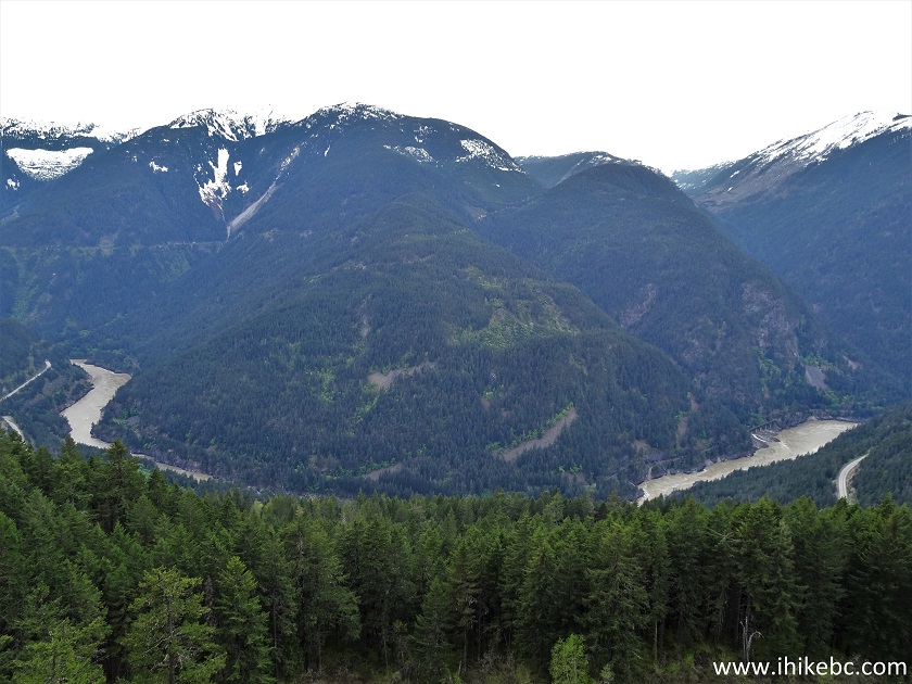
18-20. Impressive views here. Left to right.
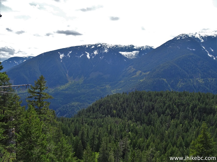
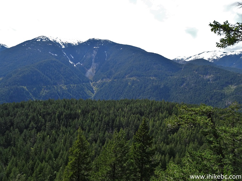
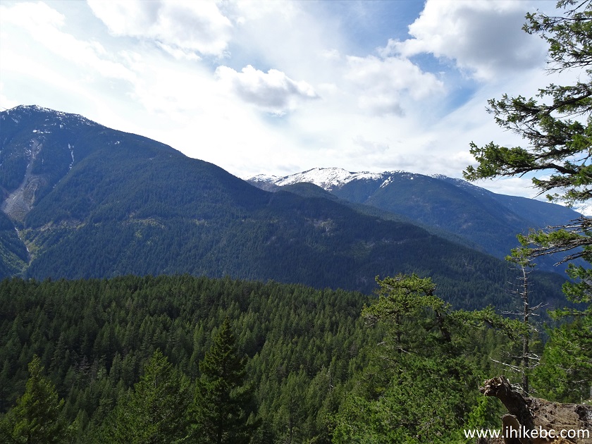
View from Chief Pahallak Viewpoint on Tikwalus Heritage Trail
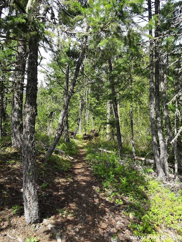
21. Continuing on Tikwalus Heritage (formerly First Brigade) Trail.
Formerly First Brigade Trail near Boston Bar BC Canada
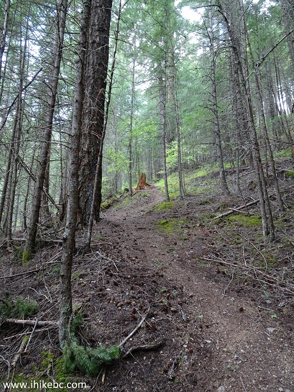
22. At 3.1 km, this row of trees looks very impressive. Much more so than this photo can convey.
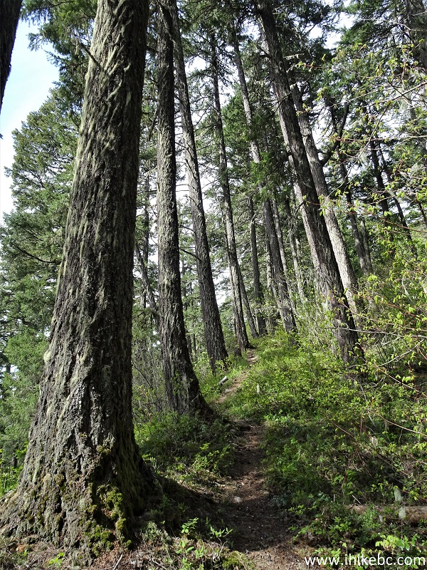
Tikwalus Heritage Trail British Columbia
23. At 4.2 km, the upper loop trail arrives. To the left is Bluffs Route (2.0 km to campsite). To the right is Lakes Route (2.5 km to campsite). The Bluffs Route has much better views.
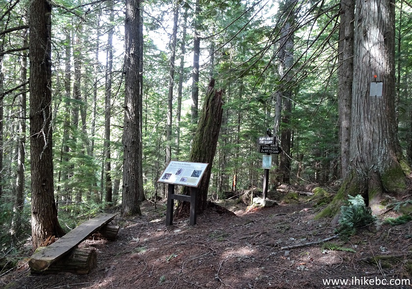
Tikwalus Heritage Trail Upper Loop Start
24. Taking the Bluffs Route.
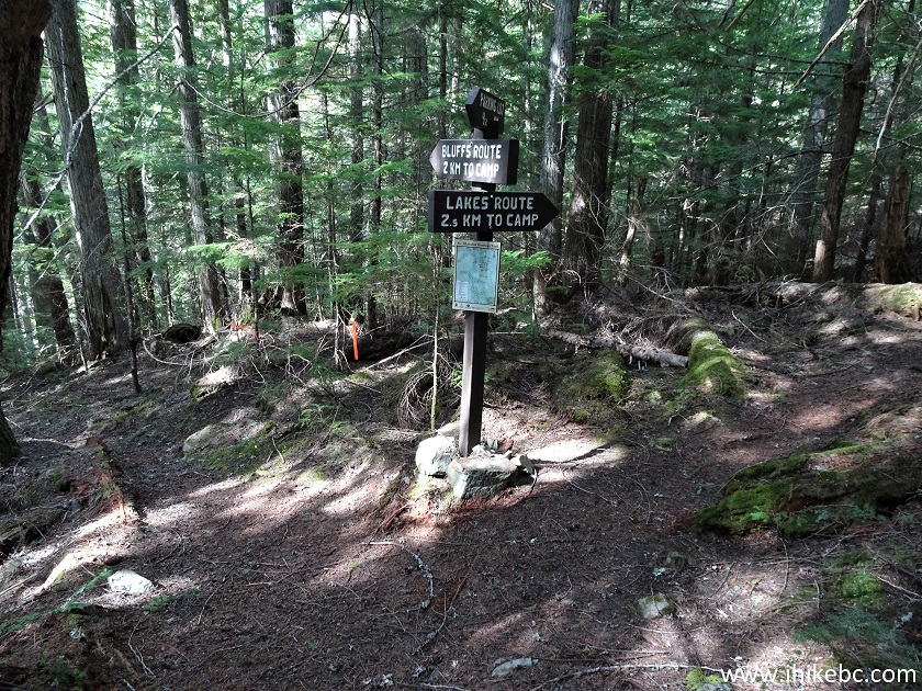
Tikwalus Heritage Trail Bluffs Route and Lakes Route Split
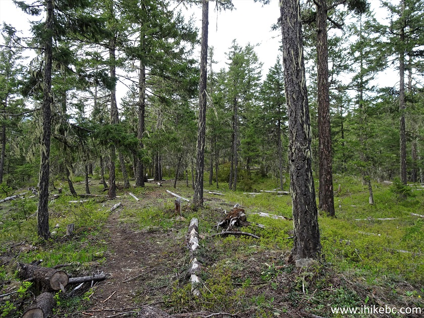
25. A major fire swept through this area in 2004, so there is a lot of new growth around the path.
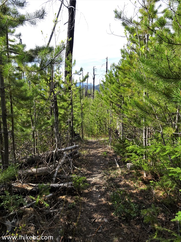
Tikwalus Heritage Trail Bluffs Route
26. Approaching a very impressive Black Canyon Viewpoint. Coordinates:
N 49⁰44.851' W 121⁰24.196'. Elevation: 848 meters.
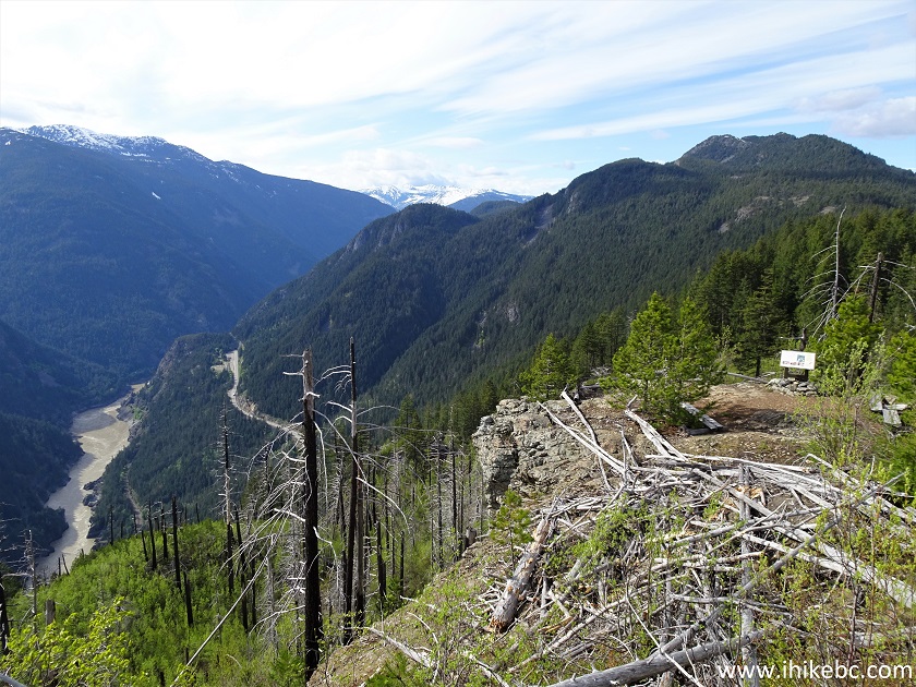
Tikwalus Heritage Trail near Black Canyon Viewpoint
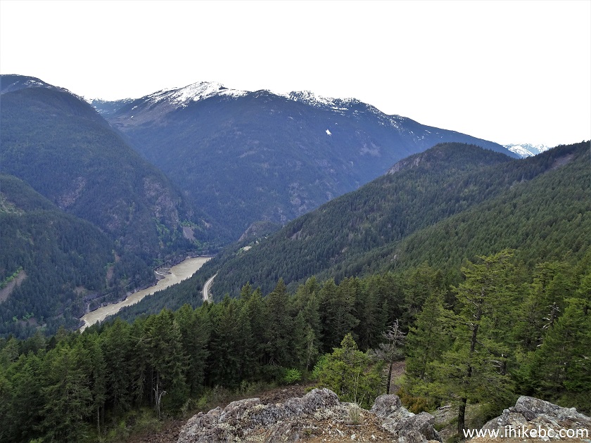
27. Fraser Canyon and Fraser River seen from Black Canyon Viewpoint.
Black Canyon Viewpoint on Tikwalus Heritage Trail near Yale British
Columbia
Here is Our Video of the Views from the Black Canyon Viewpoint.
28. Now approaching the campsite. Coordinates:
N 49⁰45.269' W 121⁰24.174'. Elevation: 825 meters (686 meters elevation gain from the start of the trail).
Tikwalus Heritage Trail between Yale and Boston Bar BC Canada
29. Picnic time.
Tikwalus Heritage Trail Campsite
30. Fit for a large group.
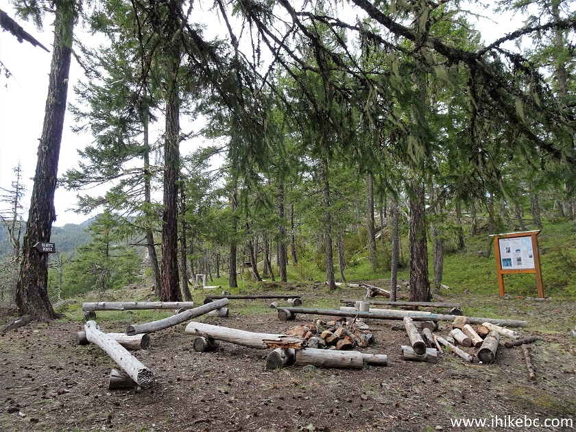
Campsite at the end of Tikwalus Heritage Trail by Boston Bar British
Columbia Canada
31. A table with a view.
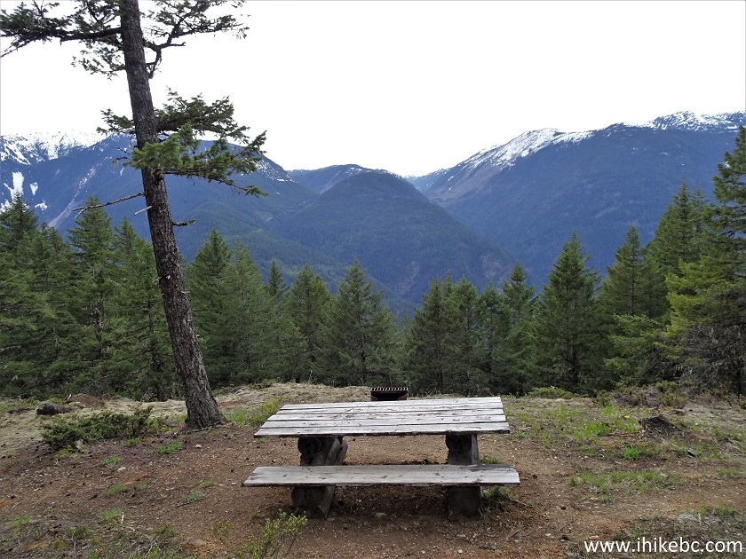
Table at Campsite at the end of Tikwalus Heritage Trail
32. Tikwalus Heritage Trail ends at the campsite. You can return the same way you came, or complete the upper trail loop by taking a much less impressive Lakes Route. Or, if you continue past the food cache, there is a great view just 130 meters further, en route to Gate Mountain.
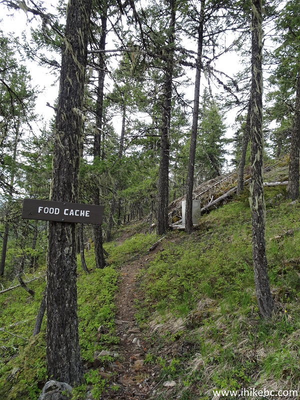
Tikwalus Heritage Trail Campsite Path to Food Cache
33. Here is that view. Coordinates:
N 49⁰45.367' W 121⁰24.185'. Elevation: 849 meters. The map refers to a view located about 1 km from the campsite, so, chances are, there is another good view later on. We will call this one Campsite Viewpoint. Left to right.
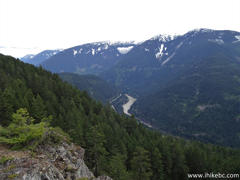
Viewpoint near Campsite at the end of Tikwalus Heritage Trail
Here is Our Video of the Views from the Campsite Viewpoint.
More ihikebc videos are on our YouTube Channel.
Tikwalus Heritage Trail makes you sweat early, but rewards with great views later on. Highly recommended.


|
 |
![]()
![]()
![]()
ihikebc.com Trip 206 - Tikwalus Heritage Trail (Formerly First Brigade Trail)