![]()
![]()
![]()

Trip 193 - July 1, 2020 (Wednesday)
Happy Birthday, Canada!
Crater Lake Trail Hike
Hudson Bay Mountain Resort Area
Near Smithers BC
Trailhead Location: At Hudson Bay Mountain Resort near Smithers BC - about 22 kilometers from Highway 16.
Liked: Crater Lake view, mountain views, a fairly easy trail.
Northern BC Backroad Mapbook (3rd edition) Trailhead Coordinates: Page 35 (Moricetown) G6 (shown as Hudson Bay Mtn Trails).
Related Website: Hudson Bay Mountain Resort.
Hudson Bay Mountain Resort in Smithers is known for its winter activities, but, once the snow is (mostly) gone, recreation does not stop, as there is a possibility of hiking for just over 2 kilometers from the parking area to a neat mountain lake called Crater Lake. The trail is quite popular, and we have encountered dozens of people and a few off-leash dogs during the hike. More adventurous folks may proceed further up Hudson Mountain, and check out a good view of Crater Lake from above. However, other than us, only one hiker that we could see went past the lake, and she went way up, where we decided not to go due to too much snow and threatening clouds in the vicinity.
On the way to the lake, the wind was very strong, keeping the mosquitoes at bay. However, on the way back, the wind calmed down, and numerous mosquitoes eagerly attacked all the people who had the (mis)fortune of hiking to and from Crater Lake. Also, almost all of the trail is either in sub-alpine or alpine areas, so sun protection would be useful on a sunny day. If you choose to proceed up Hudson Bay Mountain past the lake, do note that the trail gets much steeper and turns into loose stones and dirt - hiking poles and boots would be especially useful there.
1. There are several ways to get to Hudson Bay Mountain Road, which leads to Hudson Bay Mountain Resort. We got there by driving West on Highway 16. Here we are entering Smithers. The large blue sign points to Hudson Bay Mountain Resort. See the yellow sign far ahead?
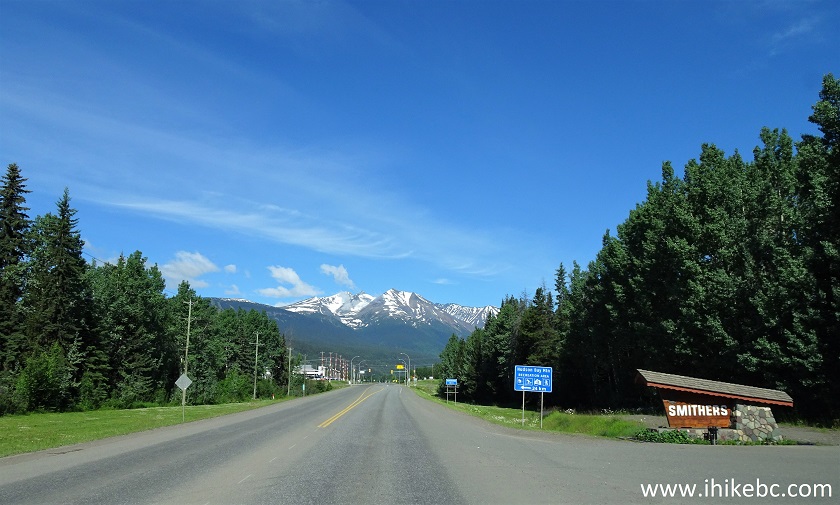
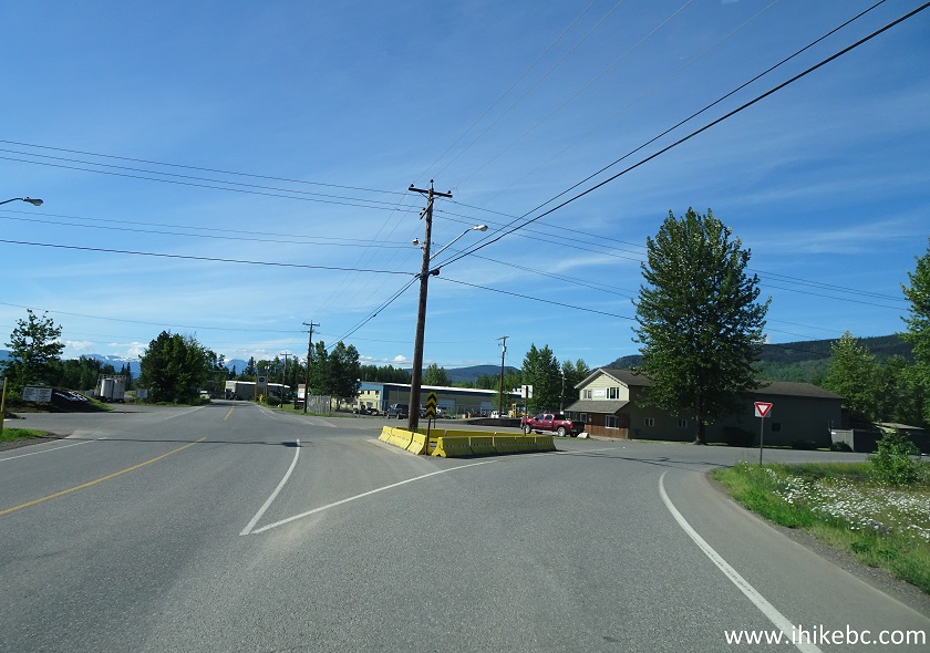
BC Highway 16 Westbound - entering Smithers
2-3. That's the first intersection after the "Smithers" sign, and we turned left here onto Tatlow Road. Coordinates: N 54⁰46.246’ W 127⁰08.437’. Elevation: 477 meters. Zero your odometer after making the turn.
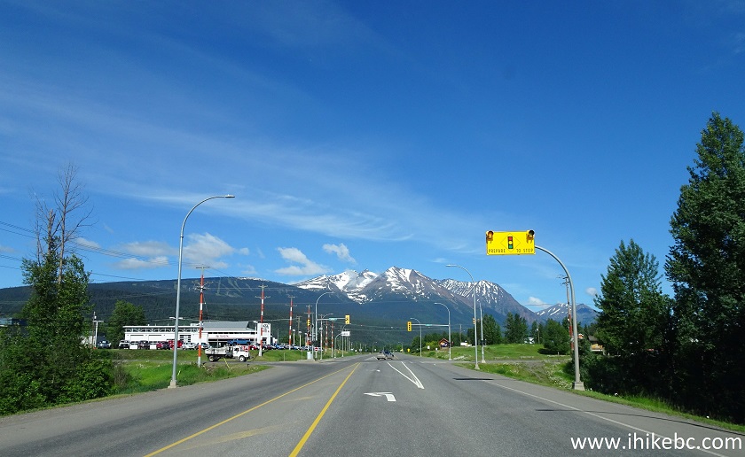
Highway 16 at Tatlow Road in Smithers British Columbia
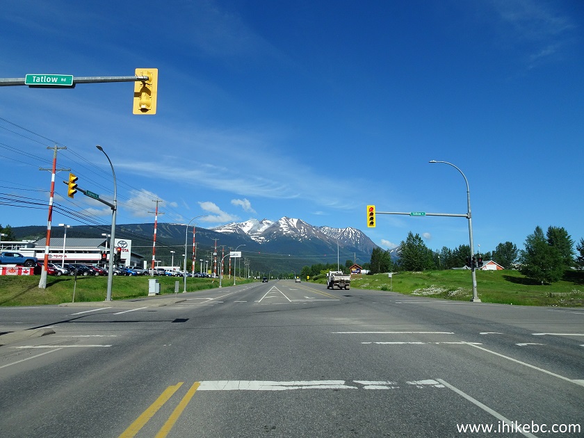
4. Tatlow Road.
Tatlow Road Smithers BC Canada
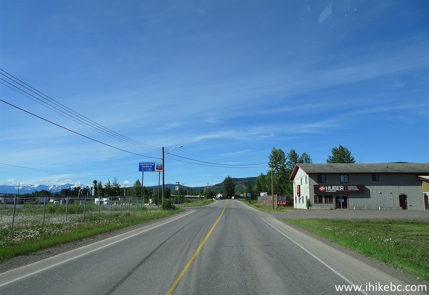
5. 400 meters after turning left from Highway 16 onto Tatlow Road, turn right onto Pacific Street.
Tatlow Road at Pacific Street Smithers BC
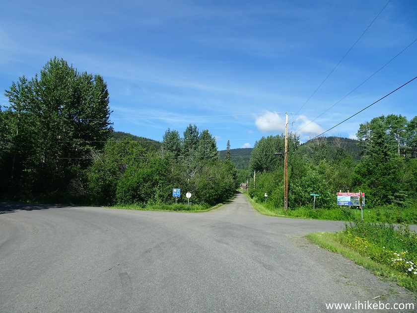
6. At 1.2 km, turn left from Pacific Street onto Dahlie Road. Small blue signs with arrows point to the resort at each intersection.
Pacific Street at Dahlie Road Smithers British Columbia
7. Dahlie Road.
Dahlie Road Smithers BC
8. At 2.2 km, turn left from Dahlie Road onto Hudson Bay Mountain Road.
Dahlie Road at Hudson Bay Mountain Road
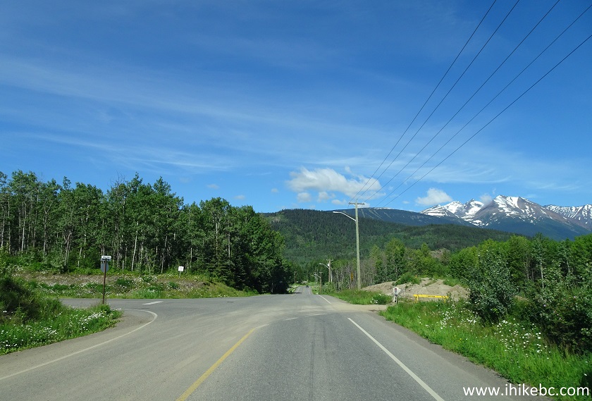
9. Now on Hudson Bay Mountain Road, which will end just under 20 kilometers later at the resort.
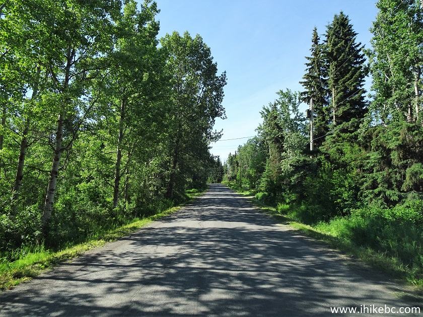
Hudson Bay Mountain Road near Smithers British Columbia
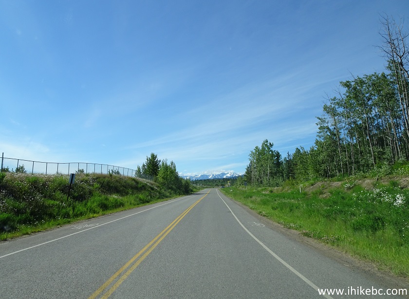
10. At 6.6 km, asphalt turns into a decent gravel road. There are a few switchbacks after that, followed by smooth turns here and there.
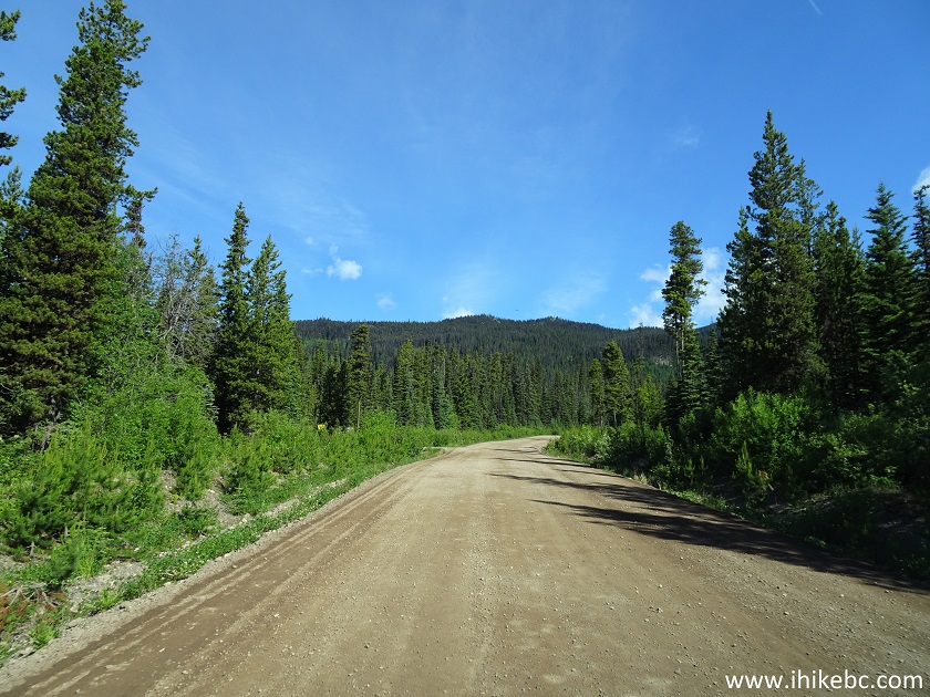
Hudson Bay Mountain Road
11. Arriving to Hudson Bay Mountain Resort.
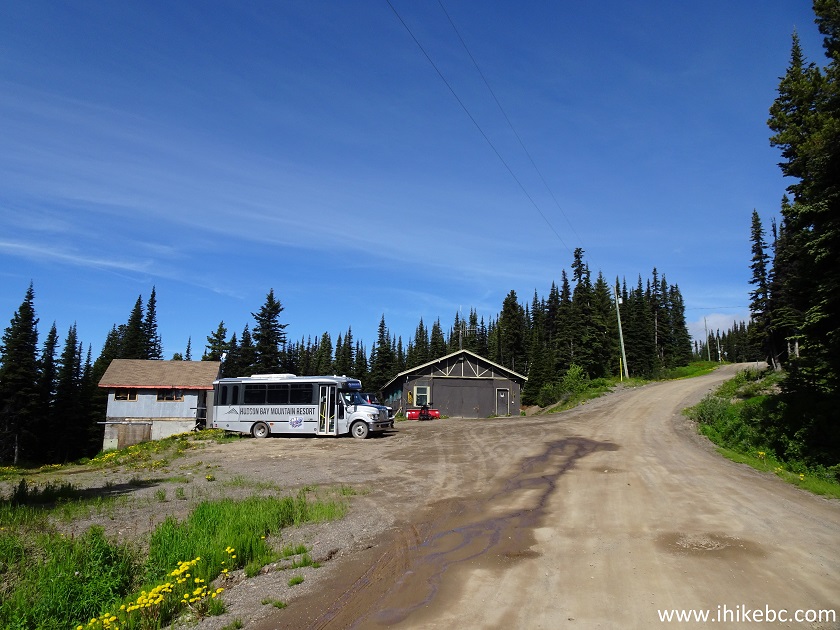
Hudson Bay Mountain Resort near Smithers British Columbia
12. Here is the parking area at the end of the road, 22.1 km from Highway 16. Coordinates: N 54⁰46.083’ W 127⁰16.772’. Elevation: 1,474 meters. At about 15.5 km, the road's name in our automotive GPS changed to Prairie Rd, but it's the same road to the resort. If there are no spaces to park here, a very large parking area is located a few hundred meters prior to that.
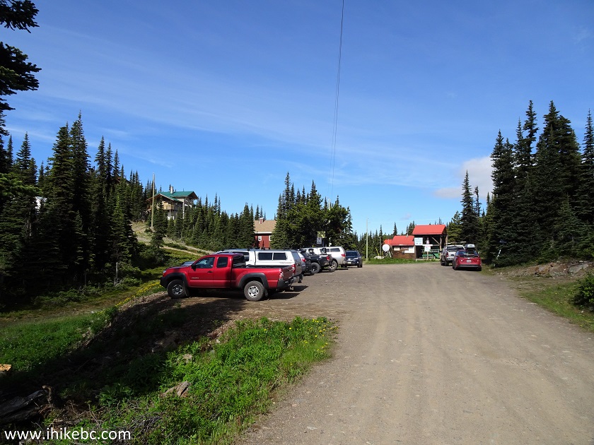
Hudson Bay Mountain Resort Parking
13. Walk to the shack seen above, and turn right.
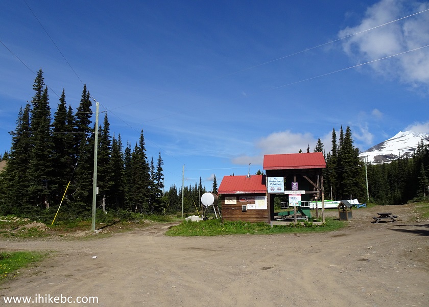
Hudson Bay Mountain Resort British Columbia
14. Take a path on the left.
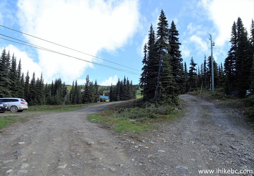
Hudson Bay Mountain Resort Canada
15. Just over 120 meters later, turn left.
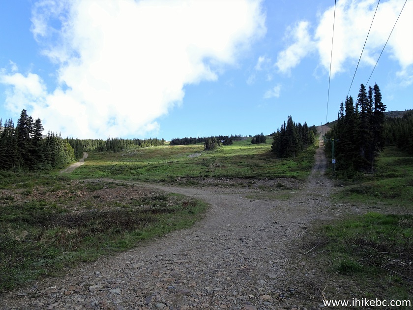
Hudson Bay Mountain Resort near Smithers BC
16. This is now Crater Lake Trail.
Crater Lake Trail - Smithers Trail
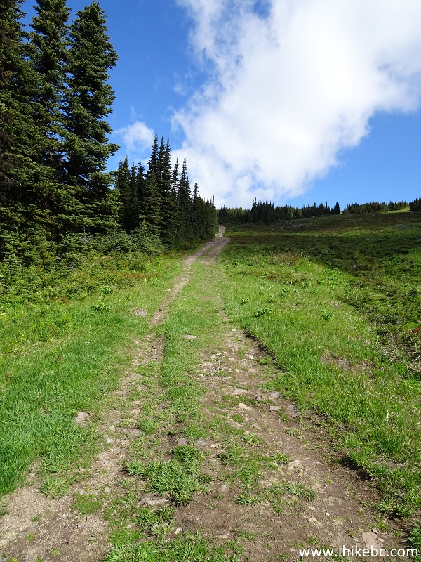
17. After going for a few hundred meters past some trees, the trail opens up.
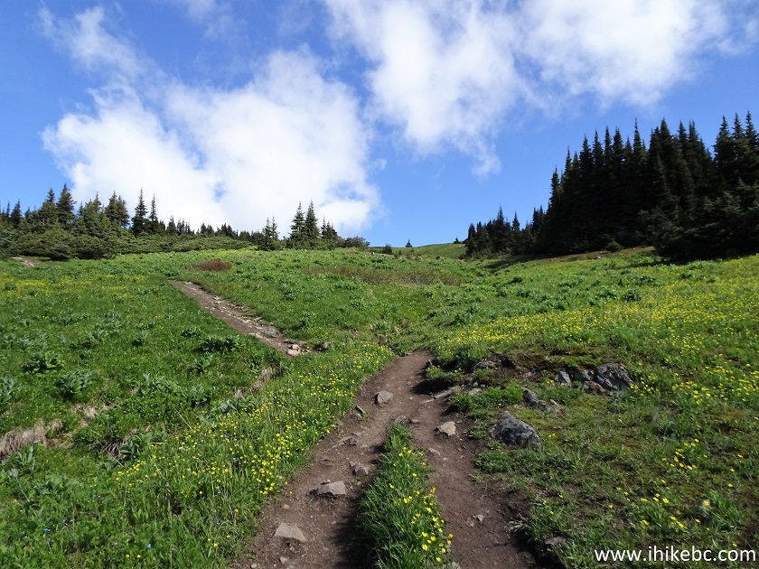
Crater Lake Trail - Smithers Hiking
18. Hudson Bay Mountain peak appears straight ahead very shortly.
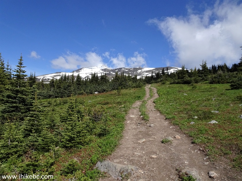
Smithers Hike - Crater Lake Trail
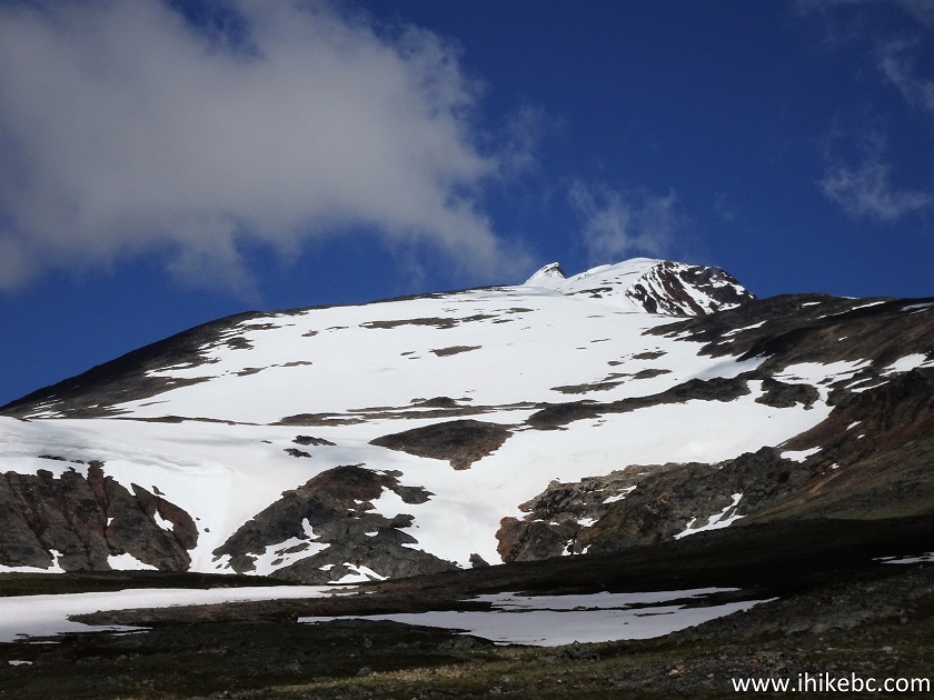
19. With much zoom.
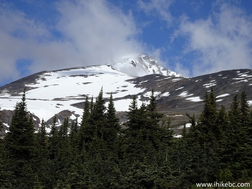
Hudson Bay Mountain
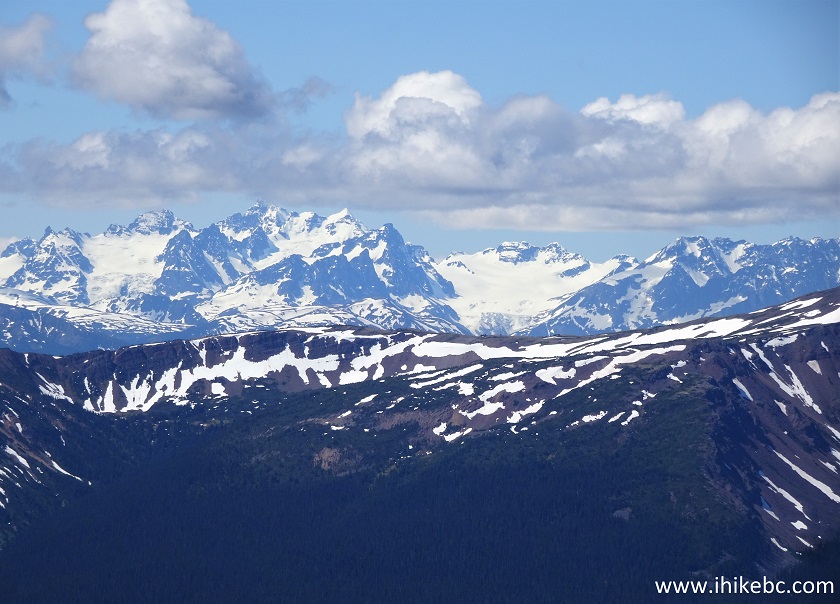
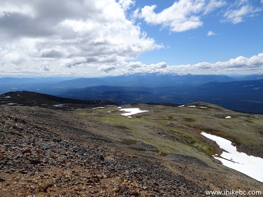
20. There isn't much to see on the right side. But, on the left, there is an impressive mountain range far in the distance.
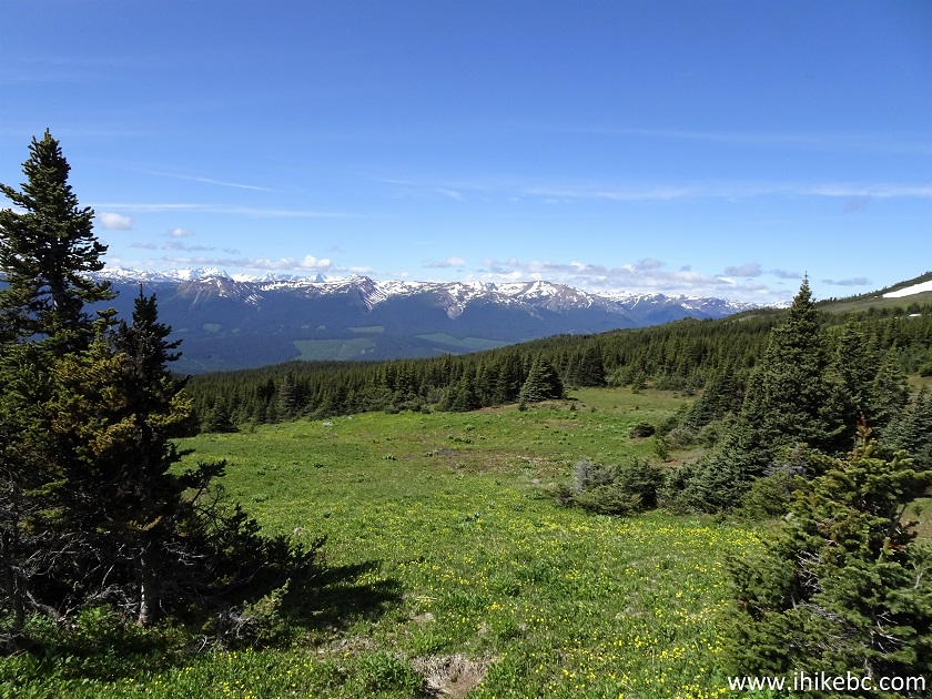
View from Crater Lake Trail in Smithers BC Area
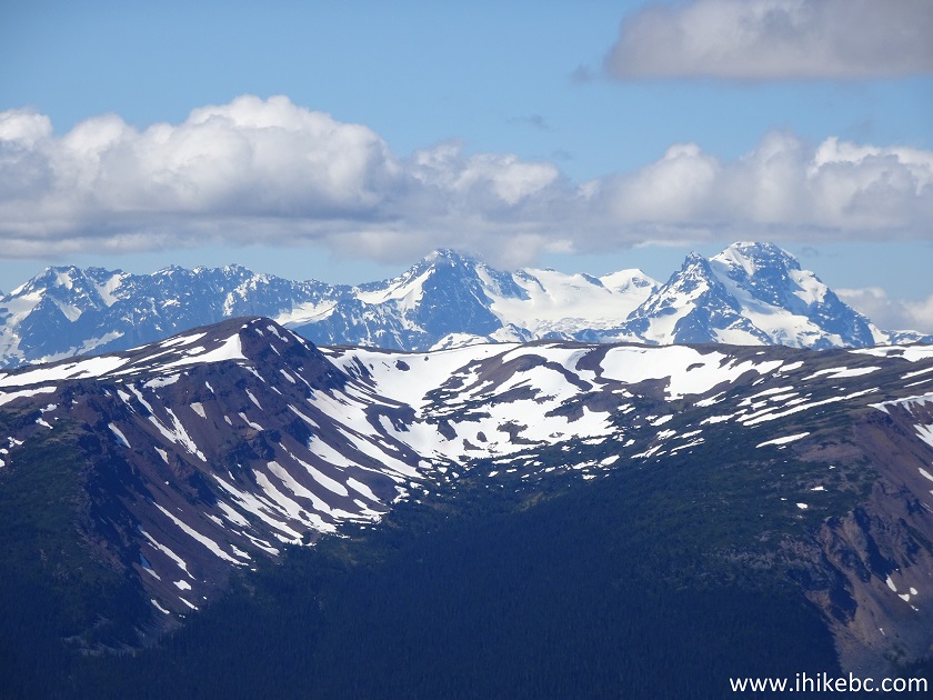
21-22. With much zoom when we got closer to the lake.
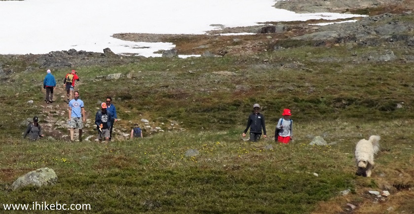
23. This trail is very popular with people, dogs, and mosquitoes.
Crater Lake Trail - Hike in Smithers Area
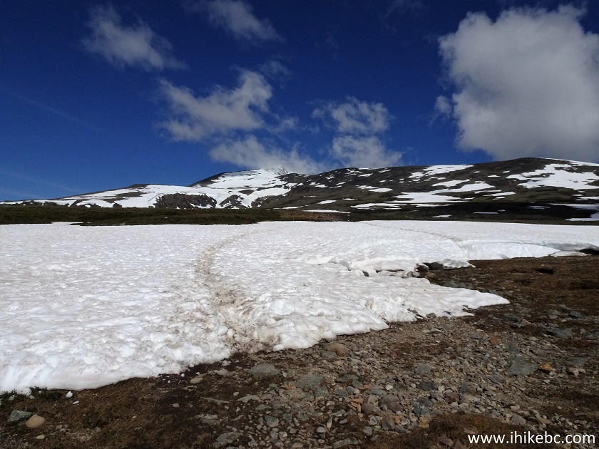
24. Still lots of snow on some parts of the trail on July the 1st. Even more parts were wet, and a few narrow brooks crossed the trail too. Here we are about 1.6 km from the parking lot.
Crater Lake Trail - Hiking in Smithers Area
25. At 2.1 km, we are almost there.
Hudson Bay Mountain British Columbia
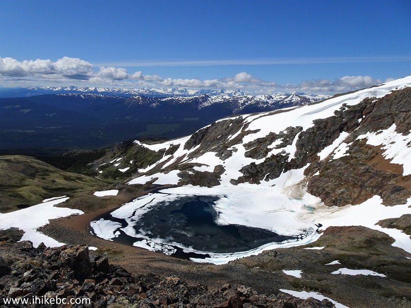
26. And here is Crater Lake. Coordinates: N 54⁰47.096’ W 127⁰18.117’. Elevation: 1,791 meters (317 meters elevation gain from the parking lot).
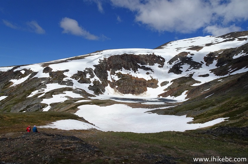
Crater Lake on Hudson Bay Mountain near Smithers British Columbia Canada
27. With some zoom. It's possible to get to the edge of the lake.
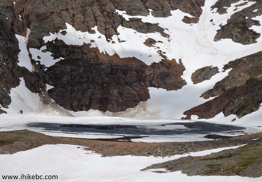
Crater Lake British Columbia
Here is our video of the views near the lake.
28. We then decided to hike on the ridge to the right of the lake.
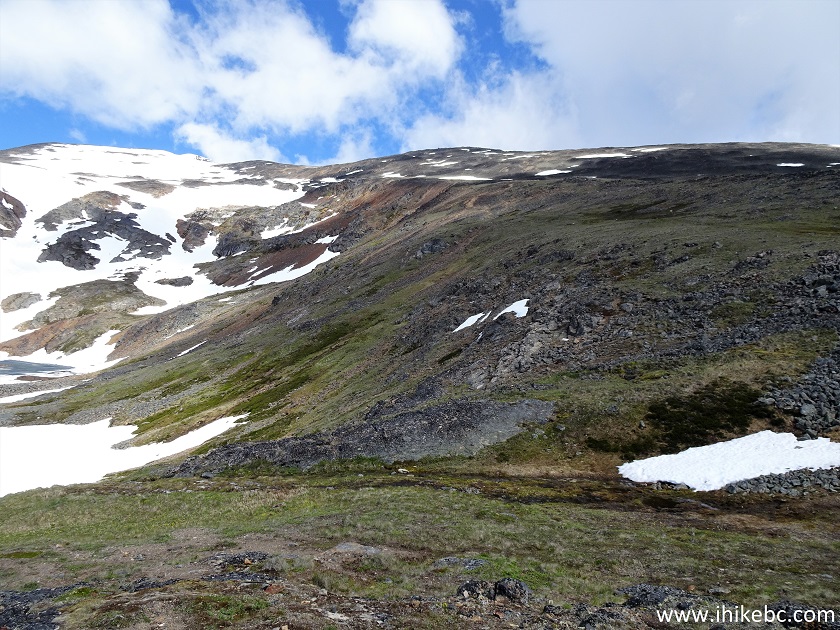
Hudson Bay Mountain Hiking near Smithers
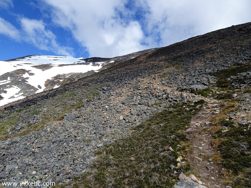
29. Save for us and another hiker, who was way further ahead, no one else went past the lake while we were there. The trail becomes much steeper and rougher, and hiking poles and boots are highly recommended.
Hudson Bay Mountain Trail in Smithers British Columbia Area
30. Looking back.
British Columbia Hiking
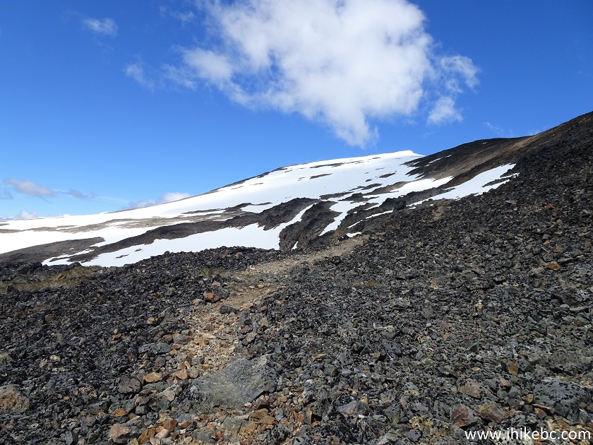
31. Now looking left at Crater Lake, about 530 meters from the end of the lake trail.
Crater Lake on Hudson Bay Mountain
Here is our video of the views from above the lake.
More ihikebc videos are on our YouTube Channel.
32. We hiked for another 400 meters or so, and our GPS with Backroad Mapbook software indicated over two more kilometers to go. However, as there was much snow further ahead, as well as threatening clouds nearby, we decided to head back at coordinates: N 54⁰47.479’ W 127⁰18.446’. Elevation: 1,994 meters.
Hike in British Columbia
33. But this intrepid hiker kept going.
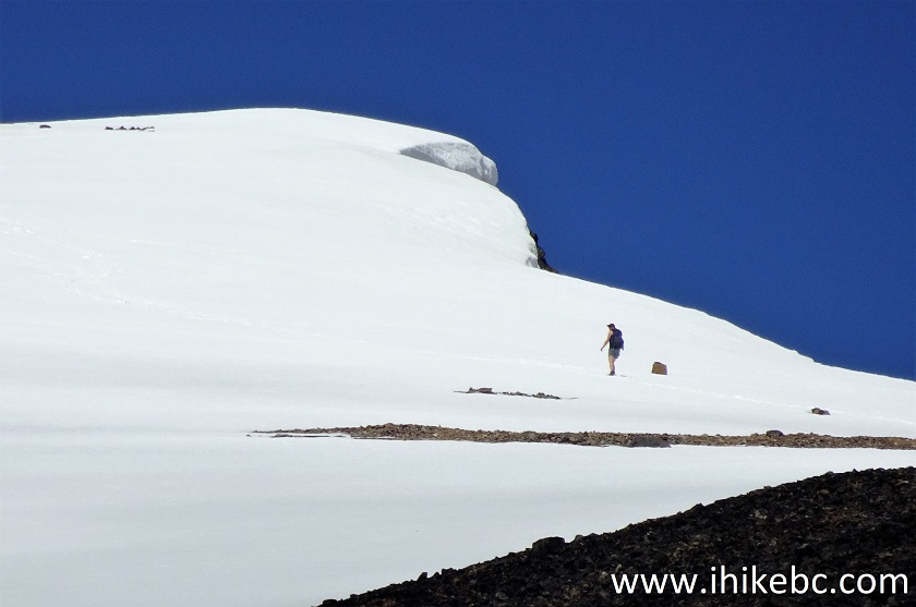
Hudson Bay Mountain Hiking
34. Sure is lots of snow up there.
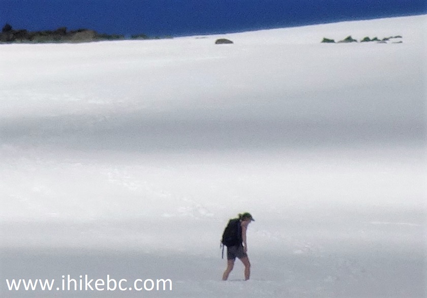
Hiking in Snow on Hudson Bay Mountain near Smithers BC Canada
Crater Lake Trail is fairly short and easy, and leads to very impressive views. Highly recommended.


|
 |
Other Trips in Smithers BC Area:
|
|
|
|
|
|
|
|
|
|
|
|
|
Fletcher-Gardiner Trail  |


![]()
![]()
![]()
ihikebc.com Trip 193 - Crater Lake Trail Hike (near Smithers BC)