![]()
![]()
![]()

Trip 172 - August 10, 2019 (Saturday)
Cameron Ridge Trail Hike
Near Likely BC
Trailhead Location: South-Central British Columbia, about 71 km from Likely via Keithley Creek Road (for 23 km), Cariboo River FSR (for 700 meters), and Cariboo Lake Road (for 47 km).
Liked: Great panoramic mountain views, Quesnel Lake view, fairly easy trail.
Of Note: Some mosquitoes. Some steep sections. Hiking poles and boots are recommended.
Cariboo Chilcotin Coast BC Backroad Mapbook (4th edition) Trailhead Location Coordinates: Page 44 (Likely) G3.
Cameron Ridge Trail is located near the settlement of Likely, about 44 kilometers further down Cariboo Lake Road from Browntop Mountain trailhead road turnoff, which leads to a trail we covered in our previous trip report. There is no "tough access road" to Cameron Ridge trailhead, as the trail starts right by Cariboo Lake Road. Also, if you have an ATV or a highly capable 4x4, it is possible to get nearly to the end of Cameron Ridge Trail. The views from this trail are much better than from Browntop Mountain. So, if you have to choose between the two, definitely go for Cameron Ridge.
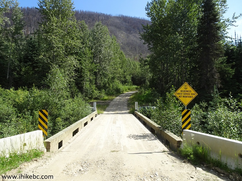
1. We are on Cariboo River Forest Service Road, getting ready to turn left onto Cariboo Lake Road. This is the same photograph as photo #8 of our previous trip report (Browntop Mountain Trail Hike). Check out that trip report, as well as Quesnel Forks Historic Site trip report, for directions on getting up to this point from BC Highway 97 near 150 Mile House.
Cariboo River FSR at Cariboo Lake Road near Likely BC Canada
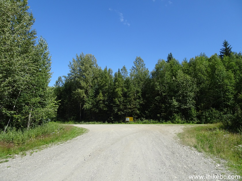
2. Having turned left onto Cariboo Lake Road, proceed for about 47 kilometers until Cameron Ridge trailhead.
Cariboo Lake Road
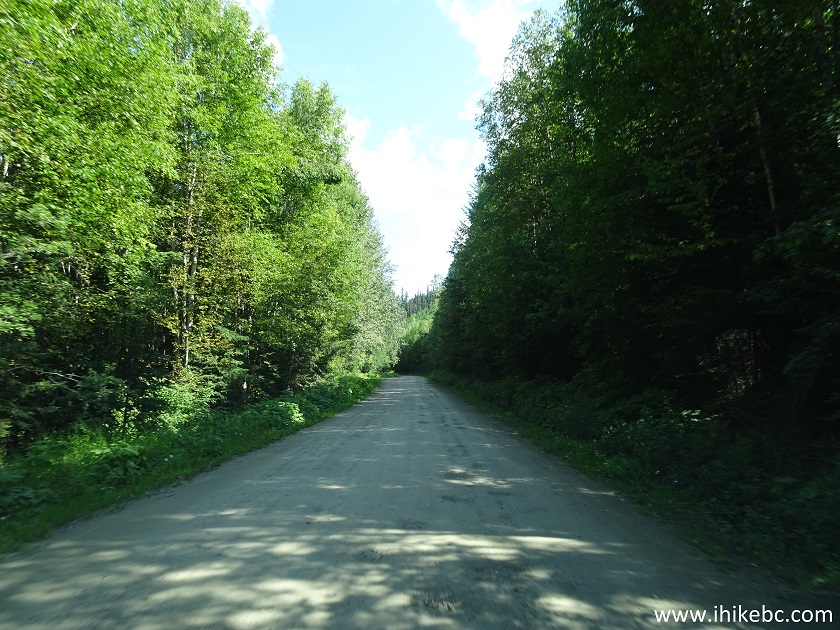
3. Unmaintained road begins 33.7 km past the turn from Cariboo River FSR onto Cariboo Lake Road (which, by this point, may be called something else). There is a split a few hundred meters before this point - stay left. Potholes would become much more numerous and substantially deeper from this point on.
4. Approximately 13 kilometers later, and 47 kilometers after turning onto Cariboo Lake Road from Cariboo River FSR, Cameron Ridge trailhead would be on the right side. Coordinates: N 52⁰49.424' W 120⁰54.985'. Elevation: 1,371 meters.
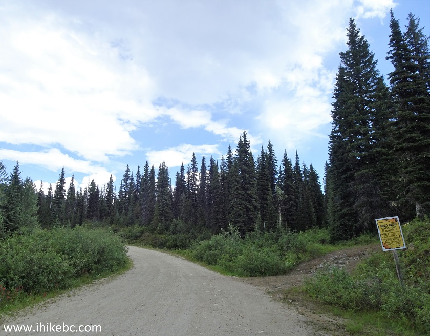
Cameron Ridge Trailhead - Trail in Likely BC Area
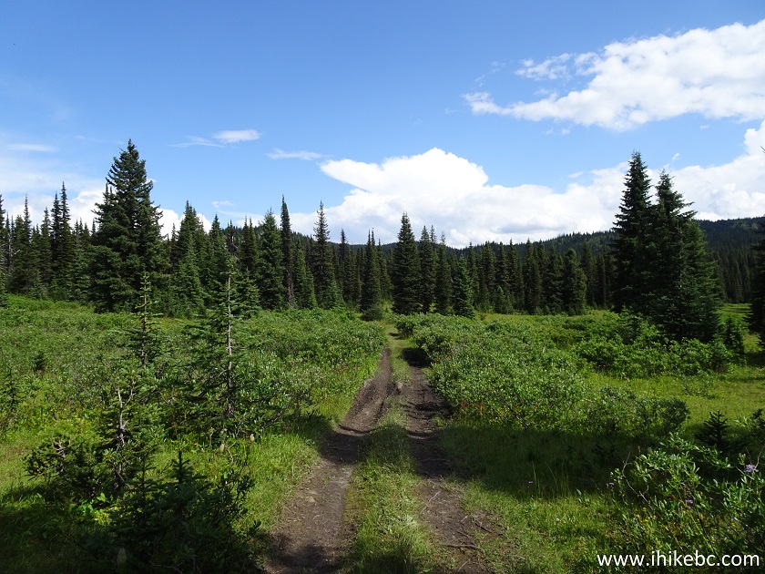
5. The trail begins.
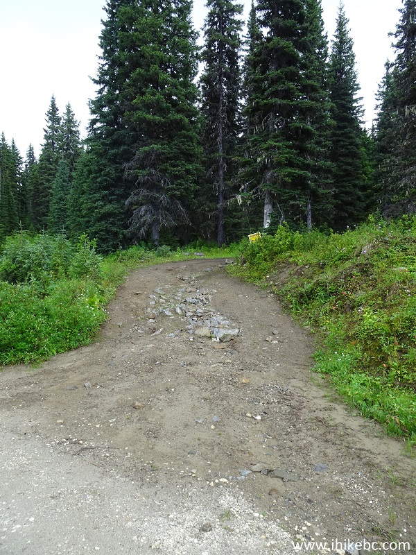
Cameron Ridge Trailhead - hiking in British Columbia
6. ATVs and capable high-clearance 4x4 vehicles may try to proceed further. The first 600 meters are very difficult - steep, rutted, with lots of loose stones. If you can make it past this stretch, the rest of it is not nearly as complicated.
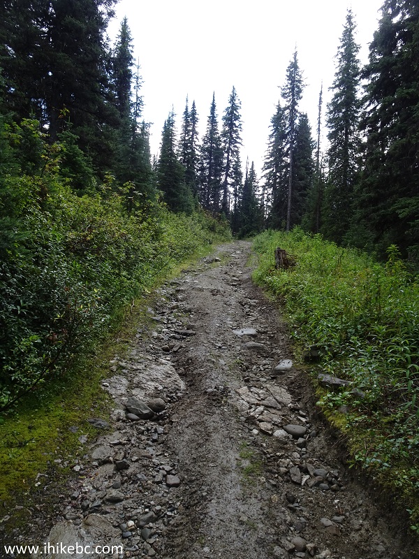
Cameron Ridge Trail - BC Hiking
7. Hiking the first 600 meters is also somewhat challenging, but then it gets easier.
Hike BC - Cameron Ridge Trail near Likely
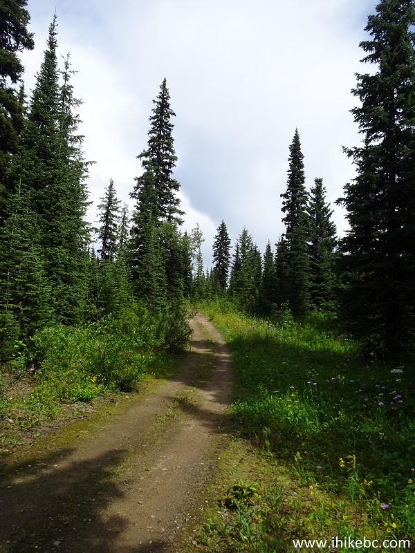
8. At the 1.35 km mark from the start of the trail, there is a brief glimpse of the mountains you are going to see closer to the end of the trail.
View from Cameron Ridge Trail - Likely Hiking British Columbia Canada
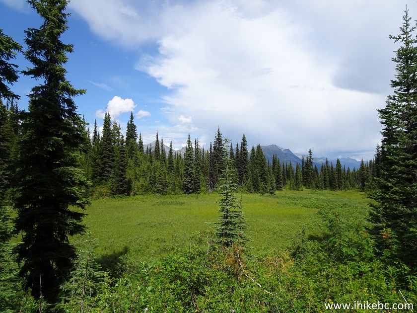
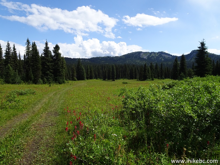
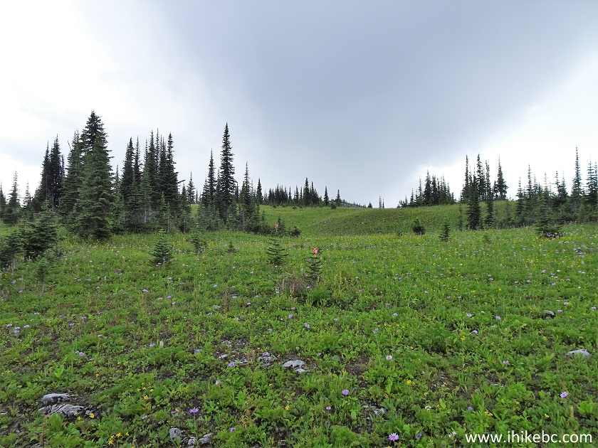
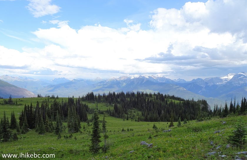
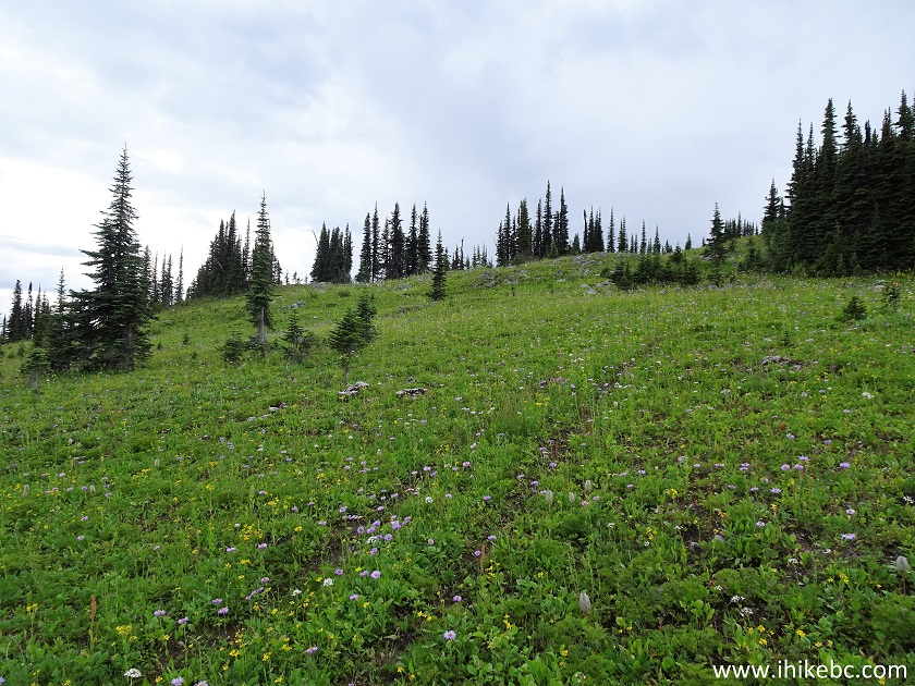
9. Cameron Ridge is a pleasant hike, with numerous fine natural views. At the 2.5 km mark here (all distances are based on a GPS odometer and are approximate).
Hiking in Likely BC Area - Cameron Ridge Trail
10. Another good view.
Cameron Ridge Hike near Likely BC Canada
11. At the 5.7 km mark, there is a 3-way split, pictured below. Coordinates: N 52⁰47.835' W 120⁰51.881'. Elevation: 1,698 meters. To the left is, apparently, a viewpoint, at least according to our GPS with Backroad Mapbook software. We did not have time to hike this spur, which, from what we understand, is about two kilometers one way. Straight ahead is what appears to be a continuation of the road for motorized vehicles. We did not hike this way, so can't tell if the road is washed out or has some other impassable obstacles. And, on the right side, is the continuation of Cameron Ridge hiking trail, and copious amounts of flagging tape lead in the right direction.
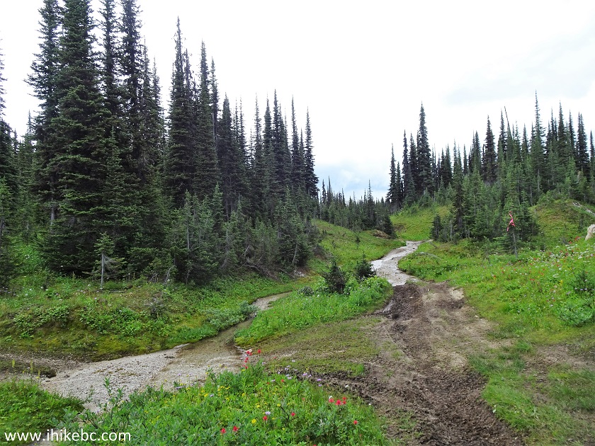
Cameron Ridge Trail - Hike in British Columbia Canada
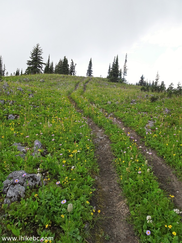
12. A view of the trail after turning to the right. Whereas previously we were hiking on an old mining road, now the road is gone, and it's a pure trail through mountain flowers (depending on the season).
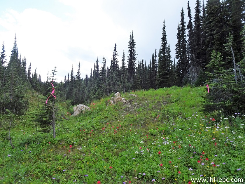
Likely Hiking - Cameron Ridge Trail British Columbia
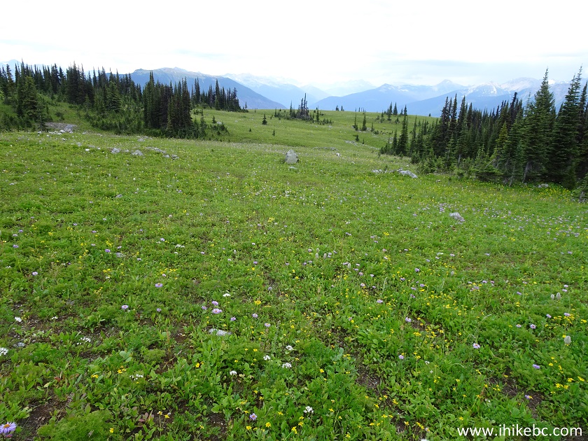
13. The trail goes gently uphill after the split.
Cameron Ridge Hike - Likely Trail
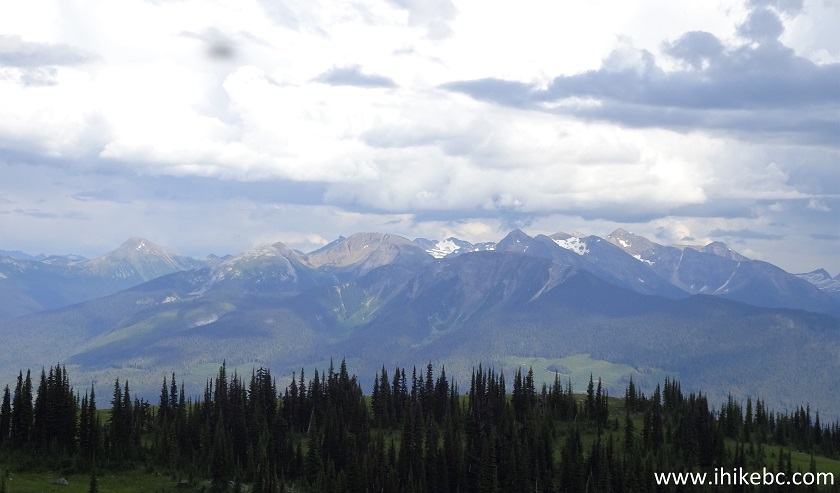
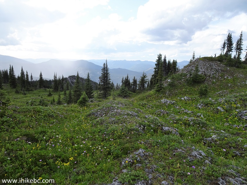
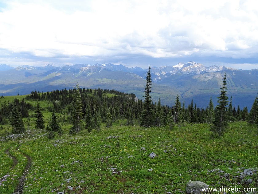
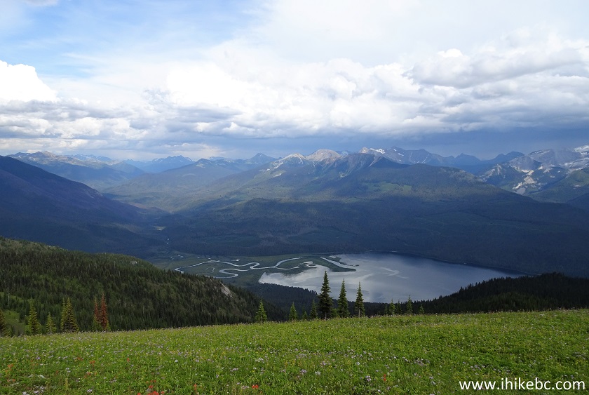
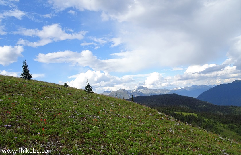
14. The higher you get, the better are the views all around.
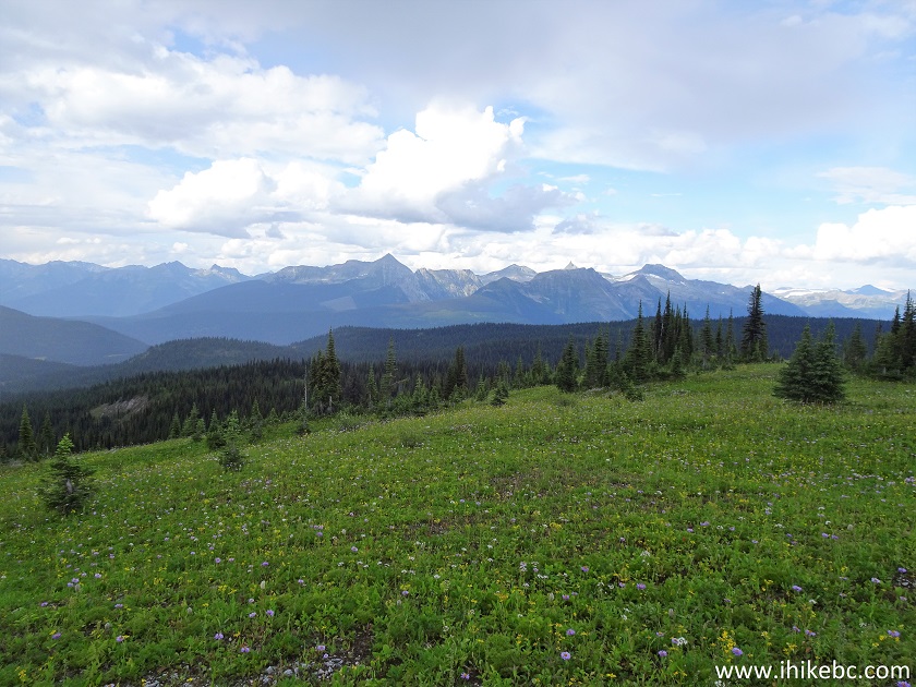
View from Cameron Ridge Hike -Trail in Likely British Columbia Area
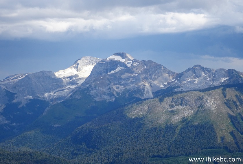
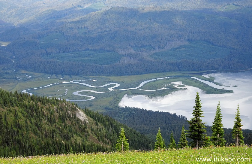
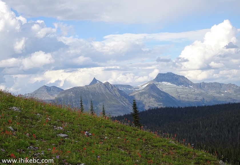
15. Zooming in.
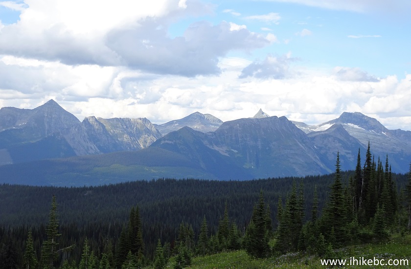
British Columbia Hiking
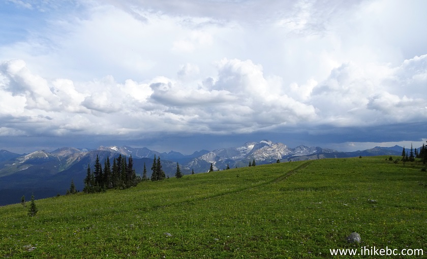
16. A bit further.
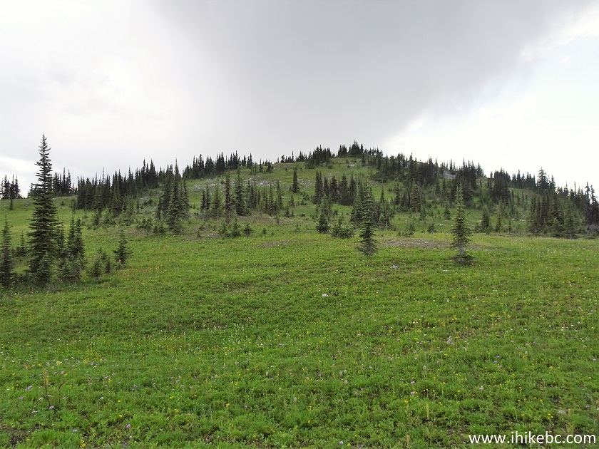
Likely Hike - Cameron Ridge Trail
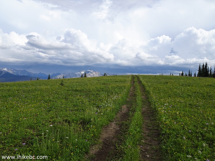
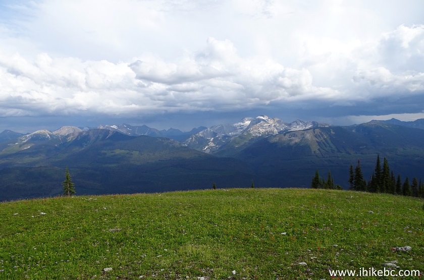
17. More neat views.
Hike in Likely BC Area - Cameron Ridge Trail
18. Now with a zoom.
Hike in British Columbia
19. And here is a key location close to the end of the trail. Coordinates: N 52⁰47.365' W 120⁰52.484'. Elevation: 1,840 meters. There are two prominent stones you can't miss, pictured below. Turning right would lead to the end of Cameron Ridge Trail (and pretty good mountain views) in about 500 meters. And, turning left, would lead to great mountain views and a Quesnel Lake view, also in about 500 meters.
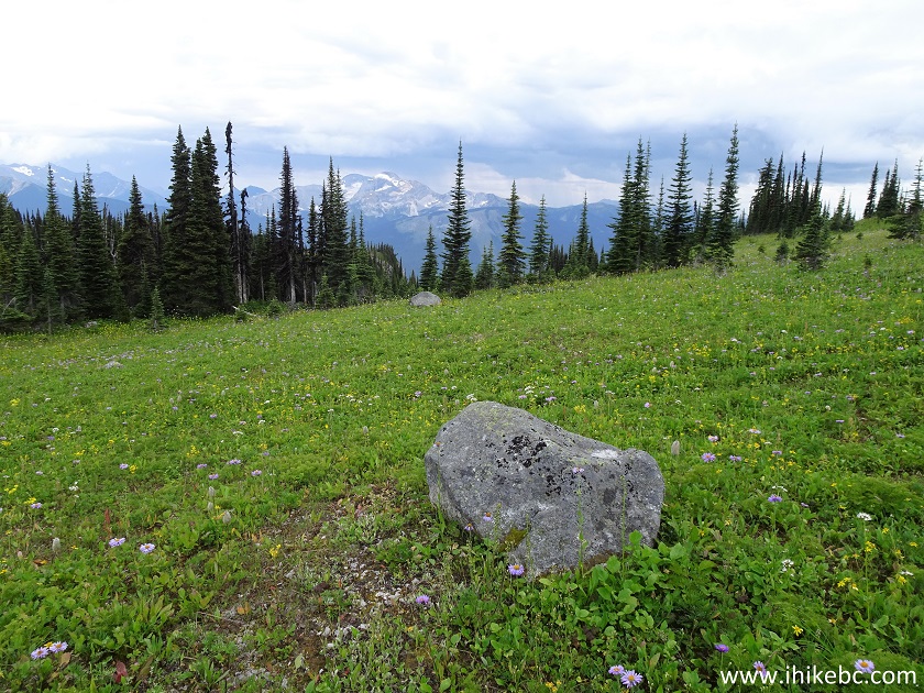
Cameron Ridge Trail - Likely Hiking
20. Here is the view looking left - go this way to get to great mountain views and a Quesnel Lake view. A faint ATV track seen in the photo below would lead to a more prominent ATV track (remember the three way split from photo #11? Likely, that prominent ATV track comes from the road which goes straight at that split), and then you would turn right and follow that prominent ATV track for a few hundred meters until it ends - the great views would be right there.
Hiking in Likely BC Area - Cameron Ridge Trail
21. And here we are looking right from the split pictured in photo #19 - also a faint ATV track, and it goes almost to the top of Cameron Ridge.
Cameron Ridge Trail - British Columbia Trail
22. We turned to the right first, to finish the Cameron Ridge Trail. The ATV track became more obvious.
BC Hiking - Cameron Ridge Trail
23. And, very shortly, after hiking for a total of 7.4 kilometers, we are at the end of the trail, in a bowl-type area of sorts. Coordinates: N 52⁰47.375' W 120⁰52.770'. Elevation: 1,891 meters (520 meters elevation gain from the start of the trail). It's possible to continue hiking further for much longer.
Hike in British Columbia
24. The view from the end of Cameron Ridge Trail.
BC Hiking
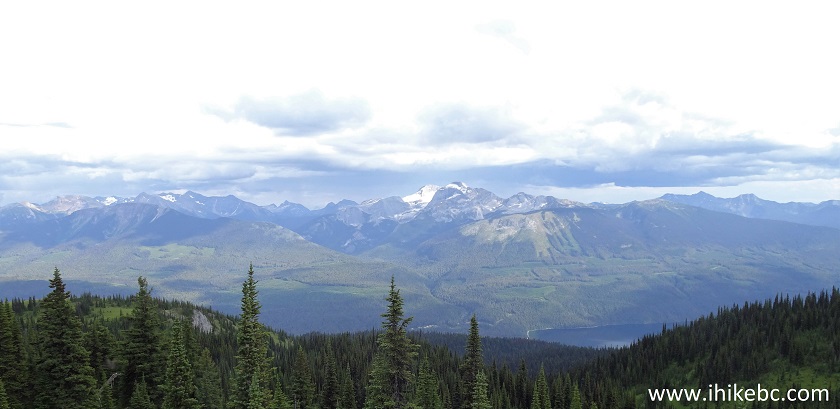
25. Zooming in. A neat mountain for sure. We are going to be hiking towards that mountain to check out a view of Quesnel Lake.
Hike in Canada
Here is our video of the views from the end of the trail.
26. Now we are heading towards Quesnel Lake, past the split pictured in photo #19.
Hiking in Likely British Columbia Area
27. Approaching the main ATV track.
BC Hiking
28. Now hiking along the main ATV track. It ends very shortly at a small cairn.
Hike in BC near Likely
29. Looking left from near the end of the ATV track.
Outdoor Adventure in British Columbia
30. Having reached the end of the ATV track, hike downhill for a few minutes to get to those great views.
British Columbia Nature
31. Cool.
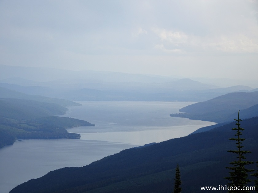
BC Outdoors
32. Looking to the right, we see the North arm of the enormous Quesnel Lake. Coordinates: N 52’47’198 W 120’52’168 Elevation: 1,810 meters.
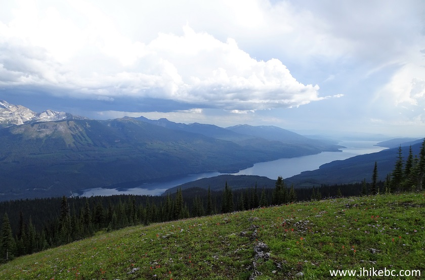
Quesnel Lake British Columbia Canada
33. Now with a zoom.
Quesnel Lake
34. Another fine view is right behind us.
British Columbia Hiking
35. Zooming in.
British Columbia Mountains
Here is a video of the views from this location.
More ihikebc videos are on our YouTube Channel.
Cameron Ridge Trail is out of the way, and may take a while to get to. But the trail itself is fairly easy, and the views are great. Highly recommended.


|
 |
Other Trips in Likely BC Area:
|
Browntop Mountain
Trail
|
 |

![]()
![]()
![]()
ihikebc.com Trip 172 - Cameron Ridge Trail Hike (Near Likely BC)