![]()
![]()
![]()

Trip 160 - July 13, 2019 (Saturday)
Tatlayoko Lake East Trail Hike
Off Highway 20 Near Tatla Lake BC
Partial hike to about the 5 km mark
Page 1 of 2
Liked: Lake and mountain views, shade in the forest, fairly easy trail, the ability to bike for the first several kilometers.
Of Note: Several tricky creek crossings, the trail can be hard to follow, some bugs, the trail at times is narrow and next to steep drop-offs. Hiking poles and boots are recommended.
Cariboo Chilcotin Coast BC Backroad Mapbook (4th edition) Trailhead Coordinates: Page 13 (Tatlayoko Lake) G5.
Related Trip Report: BC Highway 20 (Williams Lake to Bella Coola).
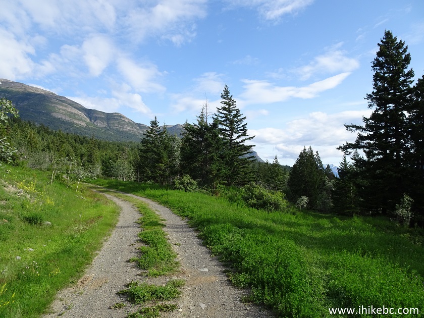
Tatlayoko Lake is very large, and is located off BC Highway 20, South of the settlement of Tatla Lake. Backroad Mapbook shows that there is also a trail on the West side of Tatlayoko Lake, and informs that it just might be possible to hike around the entire lake. We did not hike that far today. In fact, based on the Backroad Mapbook software in our GPS, there was still nearly 10 km left of Tatlayoko East Trail, by the time we decided to head back after hiking for about 5 kilometers. This trail does have some good views, but it looks like the best lake and mountain views can be observed even before you get to the trailhead. So, unless there is something majestic waiting on the South side of Tatlayoko Lake, consider this trail to be a pleasant hike in a forest.
1. To get to Tatlayoko Lake East Trail, take either Eagle Lake Road (if driving West on Highway 20), or Tatlayoko Lake Road (if driving East), and head South. Check out our previous trip report (Crazy Creek Trail Hike) for directions on how to get from Highway 20 to Tatlayoko Lake Road via Eagle Lake Road. Here we are by Snoring Horse Ranch on Tatlayoko Lake Road, 6.7 km after it meets Eagle Lake Road. This is the same photo as photo #8 of the previous trip report.
Tatlayoko Lake Road
2. Keep going straight on Tatlayoko Lake Road, and reach Tatlayoko Lake Recreation Site 13.1 kilometers past the Snoring Horse Ranch access road. Coordinates: N 51⁰38.349' W 124⁰23.334'. Elevation: 845 meters.
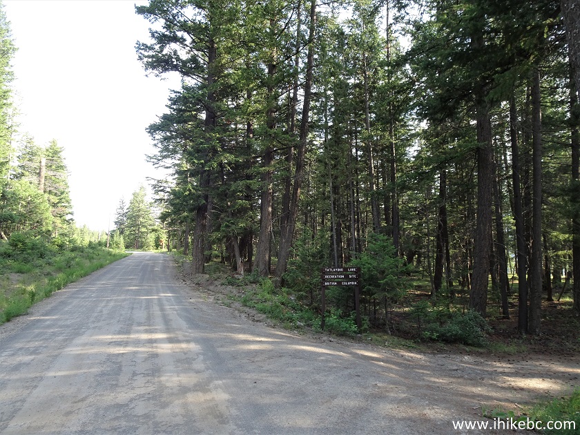
Tatlayoko Lake Road at Tatlayoko Lake Recreation Site
3. We spent the next two nights at Tatlayoko Lake Recreation Site. There are six camping spots there, very well spaced out, with lots of shade. Mosquitoes are a bit of an issue.

Tatlayoko Lake Recreation Site
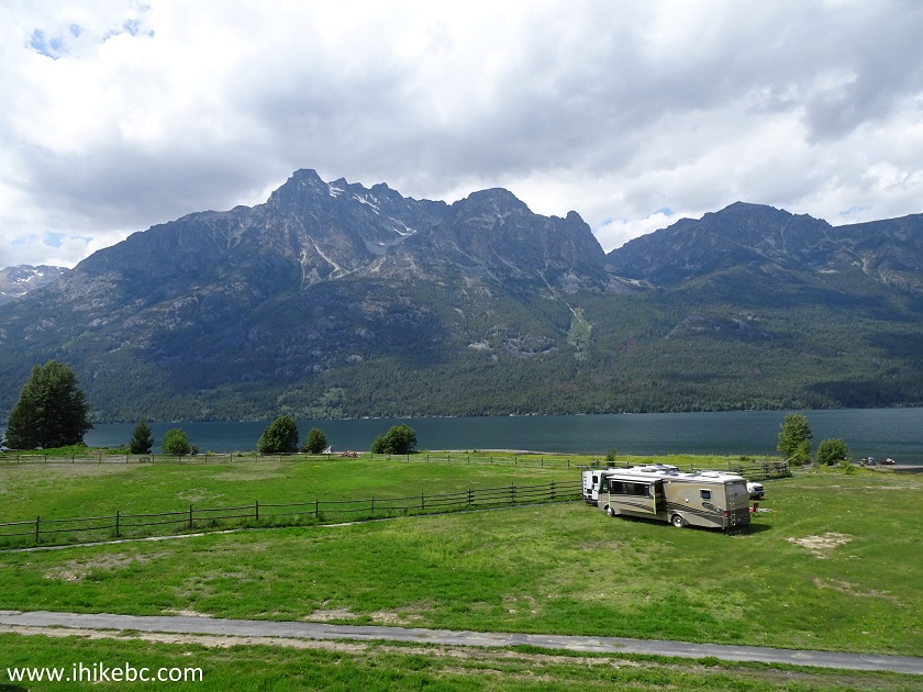
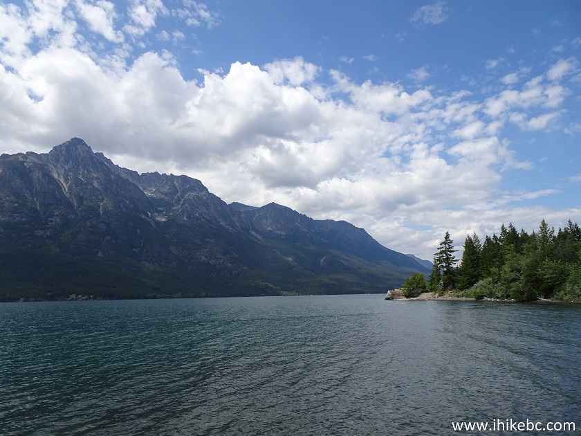
4. Here is a view of Tatlayoko Lake from the boat launch on the right side of the recreation site, if facing from the road.
Tatlayoko Lake
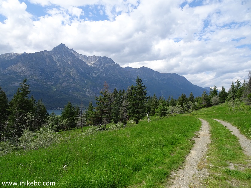
5. We headed further on Tatlayoko Lake Road, and, in just over a kilometer, there is Tatlayoko Lake Community Area, with this fine view.
Tatlayoko Lake Community Area
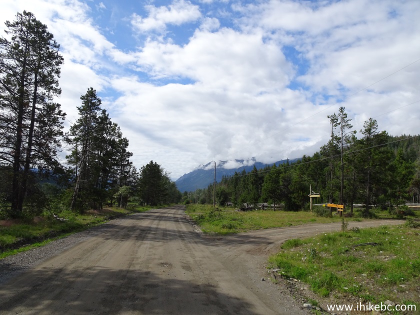
6. It's about 5.2 kilometers from Tatlayoko Lake Recreation Site to
Tatlayoko Lake East trailhead. In 1.5 kilometers past the recreation
site, the road splits, as seen in the photo below. Take the left road
(indicated as Main FSR in our GPS with Backroad Mapbook software). The
sign says that "Bracewell's Wilderness (lodge)" is that way. If you were
to take the road on the right (the continuation of Tatlayoko Lake Road),
it would end several kilometers later at the entrance to a ranch.
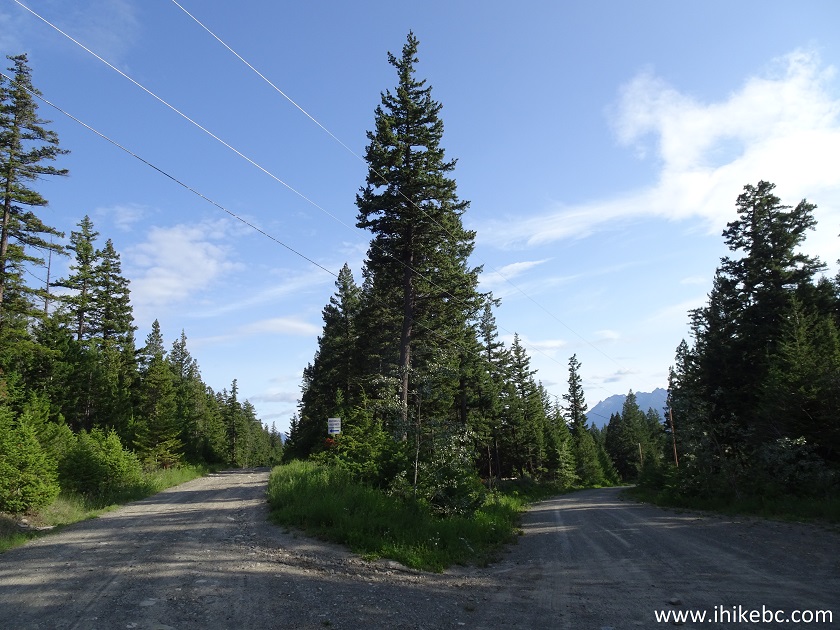
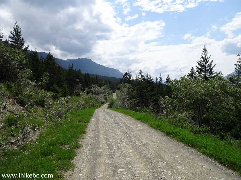
7. Here is Main FSR after the split.
Main FSR near Tatlayoko Lake British Columbia Canada
8-9. A pleasant surprise was meeting a juvenile red fox on the side of the road.
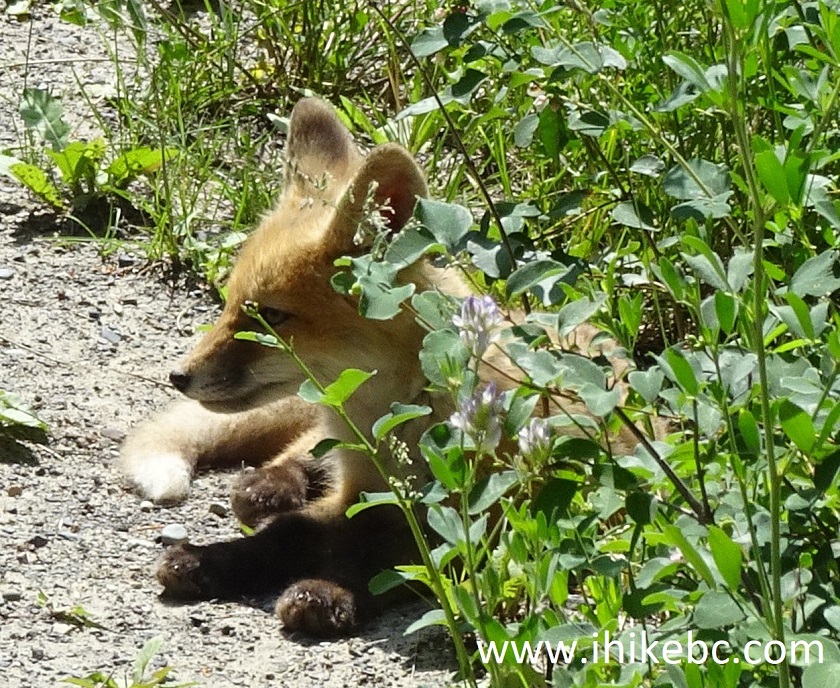
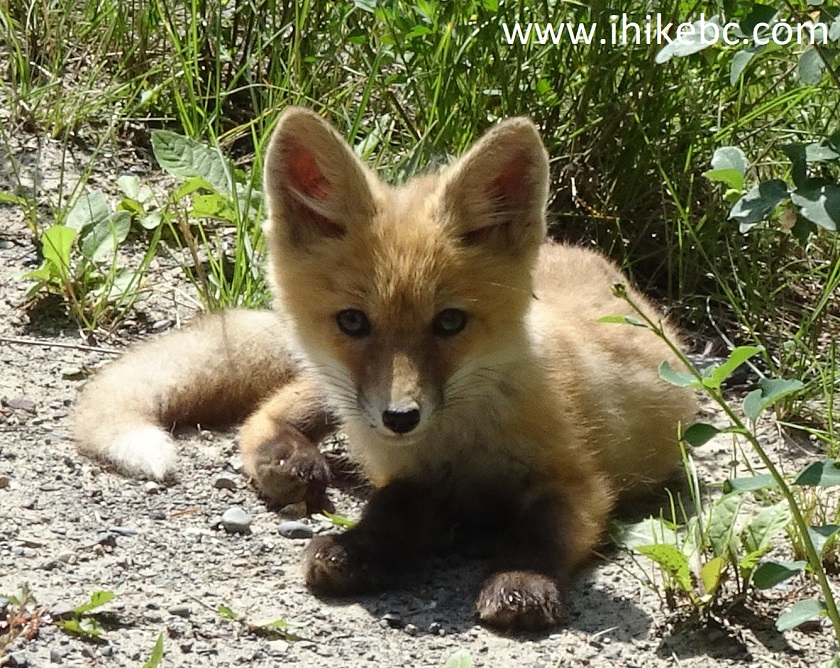
Red Fox
Here is our video of the fox.
More ihikebc videos are on our YouTube Channel.
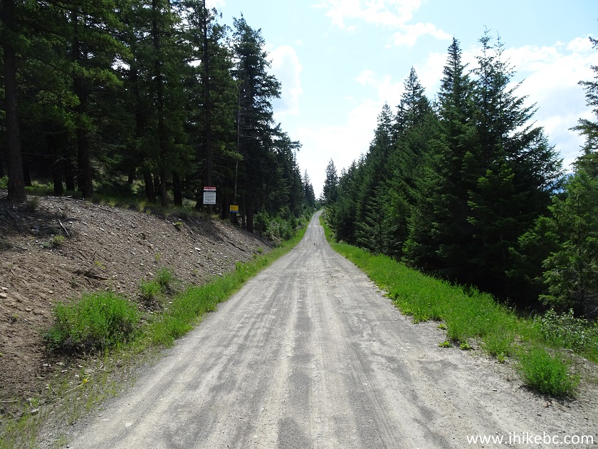
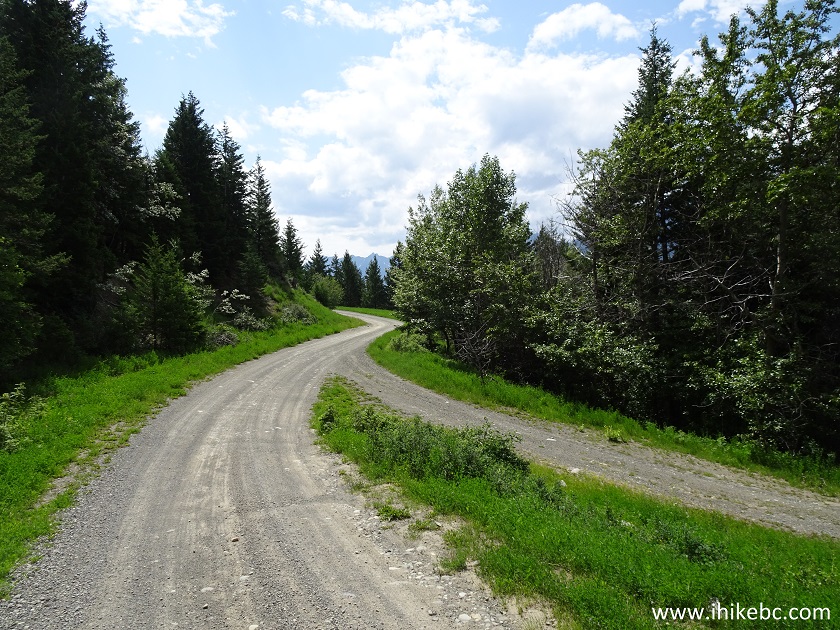
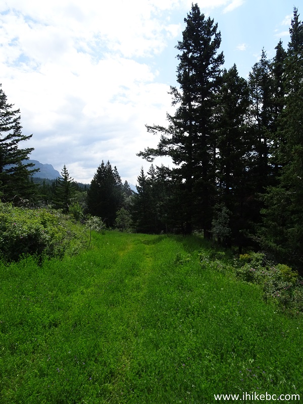
10. Continuing on Main FSR.
Main Forest Service Road by Tatlayoko Lake BC Canada
11. About 3.2 km after the split seen in photo #6, make a sharp right turn onto a ranch access road. It would eventually lead to the back of apparently the same ranch, which front entrance ends Tatlayoko Lake Road.
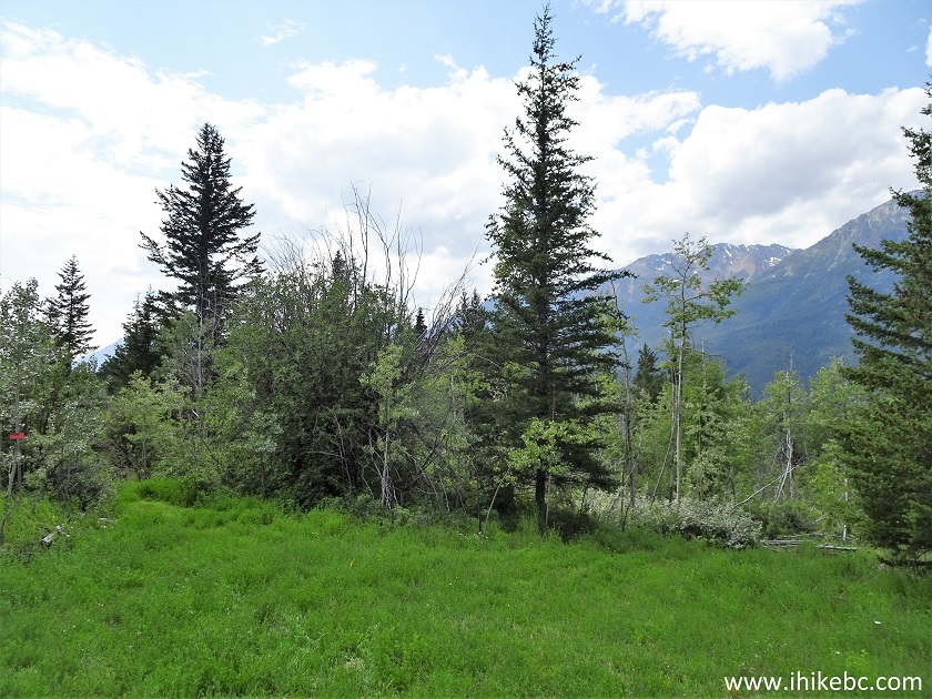
12. Ranch access road after the right turn.
13. Approximately 440 meters later, there is a not-very-obvious path in the grass to your left. We are actually facing the other way to make it more clear to see. Coordinates: N 51⁰36.535' W 124⁰22.939'. Elevation: 868 meters. Most vehicles would easily make it from Highway 20 up to this point.
14. Here we are at the beginning of the grass path - Tatlayoko Lake East trailhead is several hundred meters ahead.
15. And here it is - the red sign on the very left side of the photo states: ESHT East Side Heritage Trail. This is the only sign anywhere for this trail that we could find.
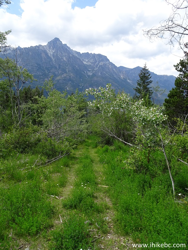
16. We did not realize at first that "East Side Heritage Trail" and "Tatlayoko East Trail" is the same thing, and decided to take a path on the right side of the open area seen in the photo above.
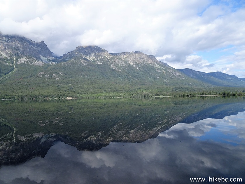
17-19. The path, which was several hundred meters long, turned out to be quite steep near the lake (only capable 4x4 vehicles or ATVs would make it back), and it lead to a picnic area with very good views. The beach was made of small stones.
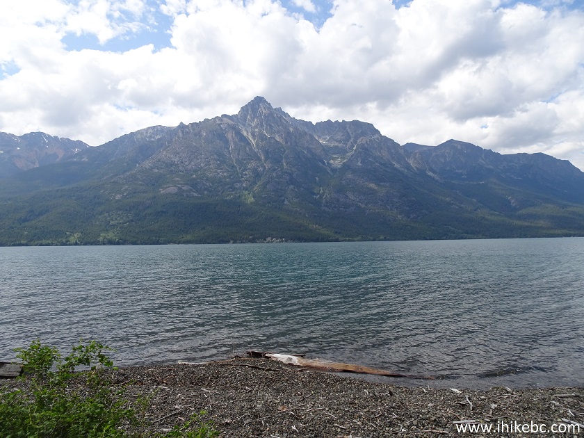
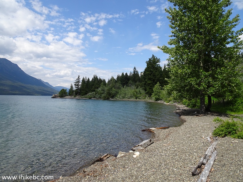
Tatlayoko Lake British Columbia Canada
Our Tatlayoko Lake East Trail Hike trip report Continues on Page 2.


|
 |
Other Trips in Tatla Lake BC Area:
|
|
|
|


![]()
![]()
![]()
ihikebc.com Trip 160 - Tatlayoko Lake East Trail Hike (near Tatla Lake BC) Page 1 of 2