![]()
![]()
![]()

Trip 133 - May 22, 2018 (Tuesday)
Quesnel Forks Historic Site Visit
Near Likely BC
Distance From Vancouver to Quesnel Forks: (via Highways 1 East,
97 North, Likely Road, and Rosette Lake Road): approximately 630 kilometers.
Liked: Old cemetery, visitor centre with information stands about Quesnel Forks, Cariboo River views, quiet location, recreation site available nearby.
Of note: There is very little to see of historical value, as there are almost no artefacts inside the restored cabins. The last two kilometers of the road to the site is a fairly steep downhill ride.
Cariboo Chilcotin Coast Backroad Mapbook (2015 edition) Coordinates: Page 43 (Quesnel Forks) F5.
Other Historic Sites Trip Reports: Barkerville National Historic Site, Fort St. James National Historic Site, Gulf of Georgia Cannery National Historic Site.
Follow @ihikebc Tweet
Quesnel Forks is a ghost town near Likely BC, located at the confluence of Quesnel and Cariboo rivers. At its peak over a hundred of years ago, there were several hundred people living there, most of them seeking gold in the nearby area. As years went by, as gold fever passed, and as the river swallowed much of the real estate, Quesnel Forks was abandoned, and its buildings started to decay. In recent years, Quesnel Forks became a local historic site, with several well-restored (albeit mostly empty) buildings. The cemetery has some very old graves, as well as recent burials of folks from other places. After Fort St. James National Historic Site, which we visited in 2016, Quesnel Forks certainly felt very small, with little to see. That said, there are no admission fees, very few people around, a picturesque setting, and a sense that in this very place, a long time ago, hundreds of people lived and many died pursuing their golden dreams.
1. We are Northbound on BC Highway 97, in 150 Mile House, 10 km South of Williams Lake, 80 km North of 100 Mile House, and are getting ready to turn onto Likely Road.
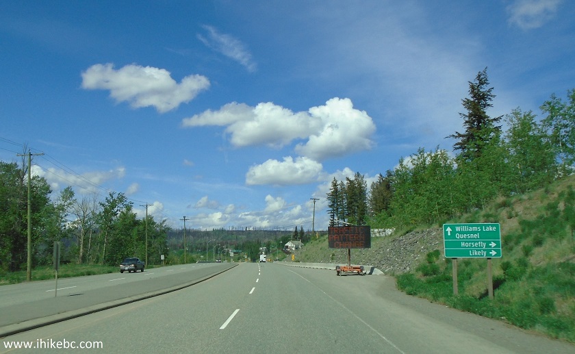
BC Highway 97 North in 150 Mile House BC Canada
2. Approaching the right turn to Likely Road.
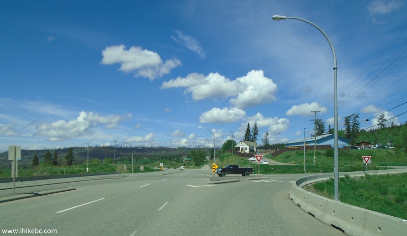
BC Highway 97 North in 150 Mile House at Likely Road turnoff
3. Now on Likely Road.
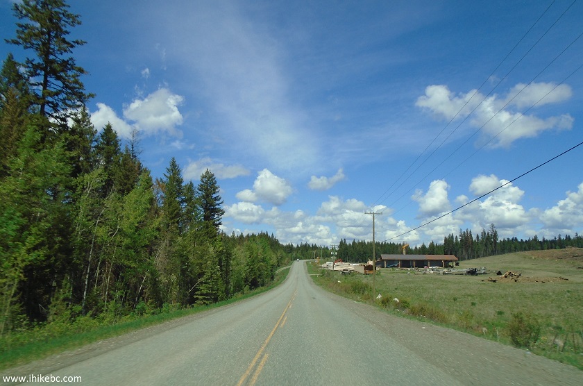
Likely Road near 150 Mile House British Columbia Canada
4. Get ready to turn left (to stay on Likely Road) 4.4 km after turning from Highway 97. Going straight/right would lead to Horsefly.
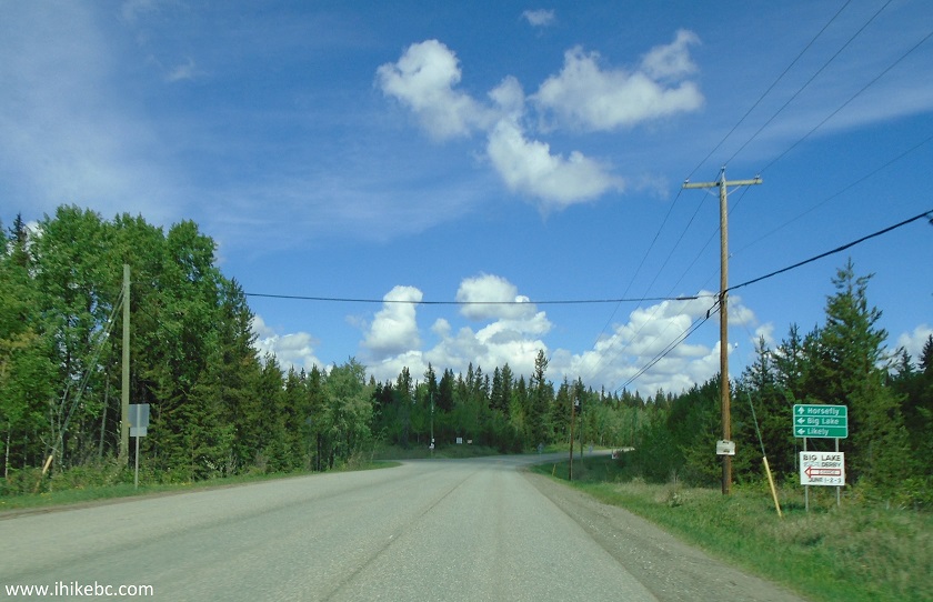
Likely Rd split with Horsefly Rd near 150 Mile House BC Canada
5. Likely Road after the split.
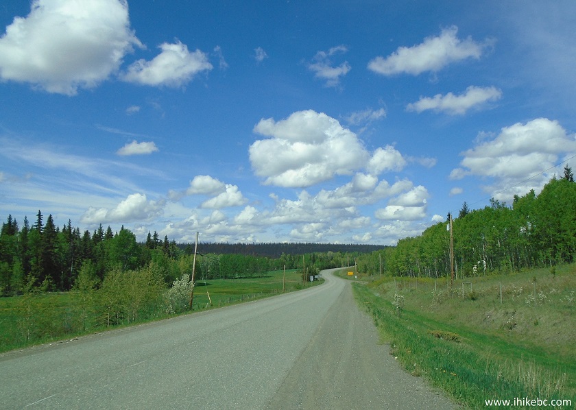
Likely Road near 150 Mile House British Columbia Canada
6. It goes like that for 79.7 km after the start of Likely Road at Highway 97, and then there is a Bullion Pit Rest Area on the left side. There is a canyon trail there, which we hiked the day before, and which is described in our next trip report.
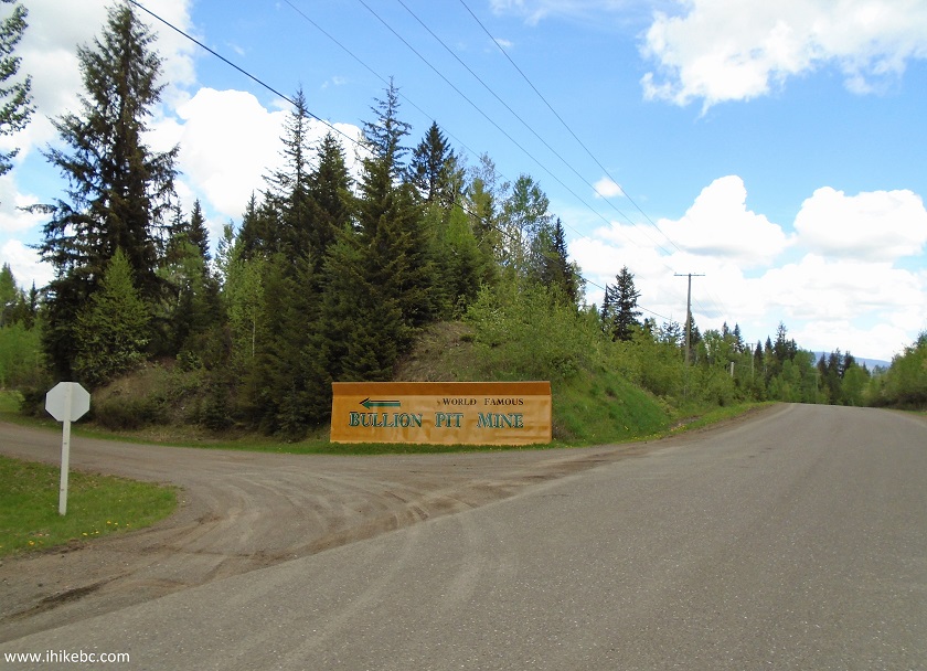
Likely Road near Bullion Pit Mine Rest Area British Columbia Canada
7. For the time being, we are continuing to Quesnel Forks. At the 83.5 km mark from Highway 97, there is this bridge across Quesnel River, and Likely BC starts right after the bridge.
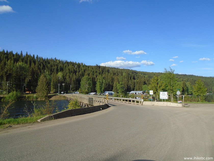
Bridge across Quesnel River by Likely British Columbia Canada
8. Likely Road becomes Keithley Creek Road after the bridge. Five hundred meters after crossing the bridge (there is an eatery to the right of the bridge, if you are interested), get ready to turn left onto Rosette Lake Road. A sign indicates that Quesnel Forks is located in that direction.
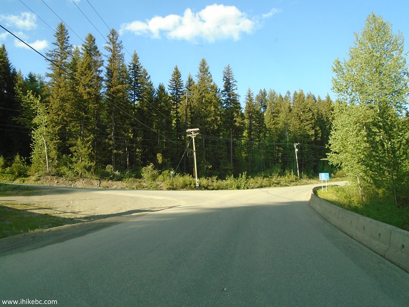
Keithley Creek Road at Rosette Lake Road Turnoff
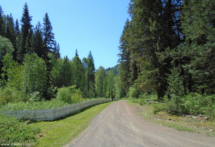
9. Paved Rosette Lake Road turns into gravel 1.7 km later, but it's a smooth ride. There is a pretty steep downhill for about two kilometers right before Quesnel Forks, though. Would be quite a challenge climbing that hill in the winter, especially since its unclear whether the road to Quesnel Forks is regularly plowed.
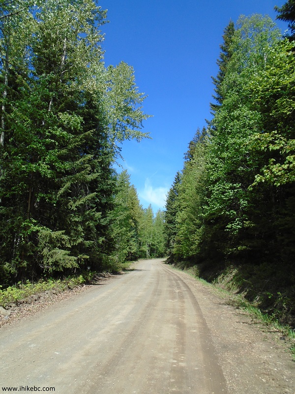
Rosette Lake Road near Likely Province of British Columbia Canada
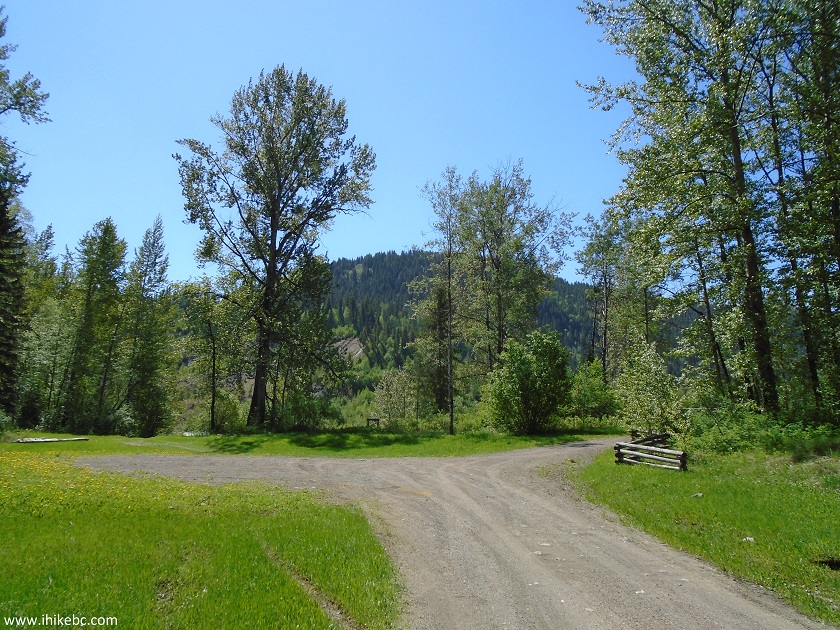
10. Rosette Lake Road leads to Quesnel Forks after 11.7 kilometers.
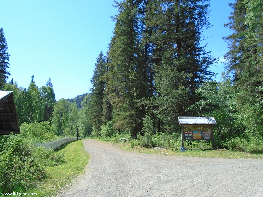
Quesnel Forks British Columbia Canada
11. This sign tells us what's where around here.
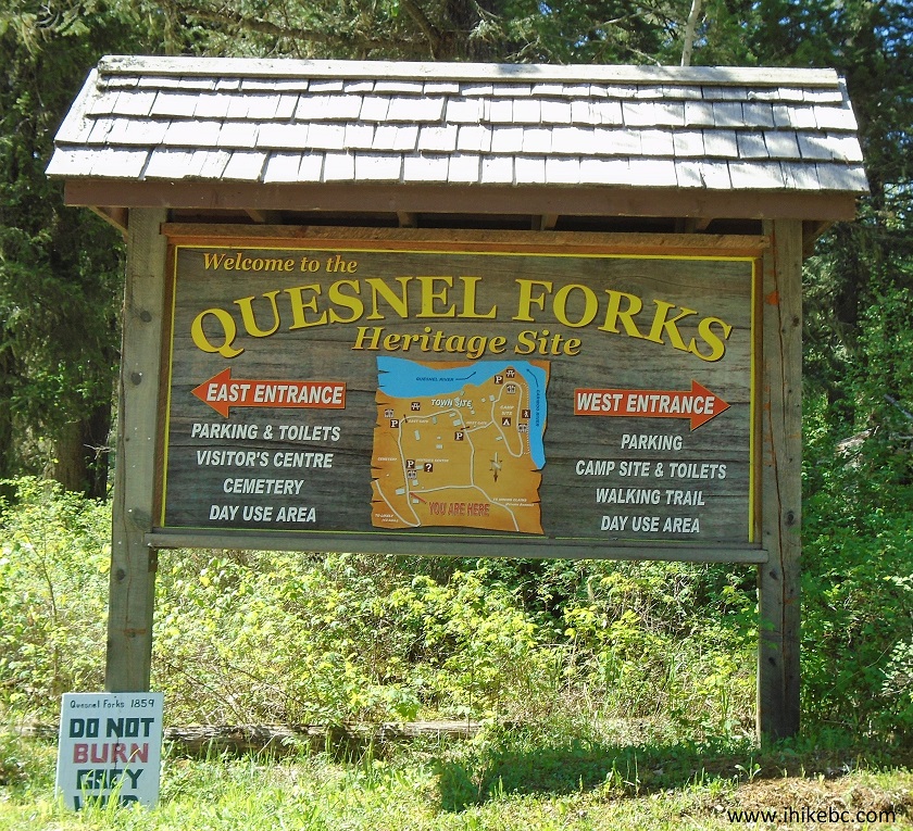
Quesnel Forks Information Sign
12. The map of the place.
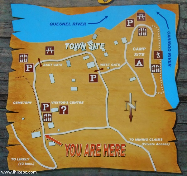
Quesnel Forks Map
13. We took the road to the left of the sign, and right away there is a cemetery (behind the fence) and, a hundred meters later, a visitor centre on the right side.
The Ghost Town of Quesnel Forks British Columbia Canada
14. The visitor centre.
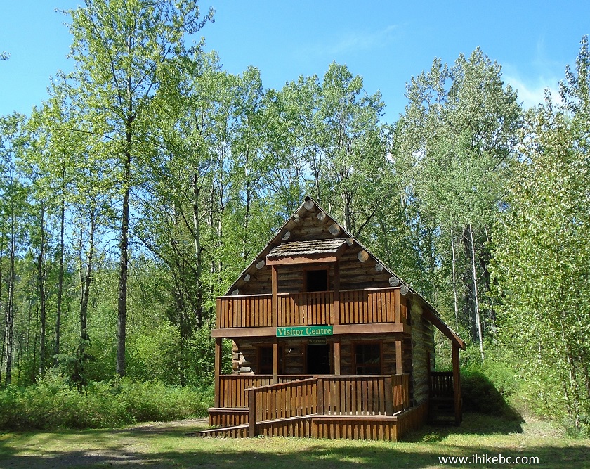
Quesnel Forks Visitor Centre
15. It's a good idea to check out the visitor centre at the beginning of your visit, and read about the history of Quesnel Forks, well-presented on several large information signs inside this building.
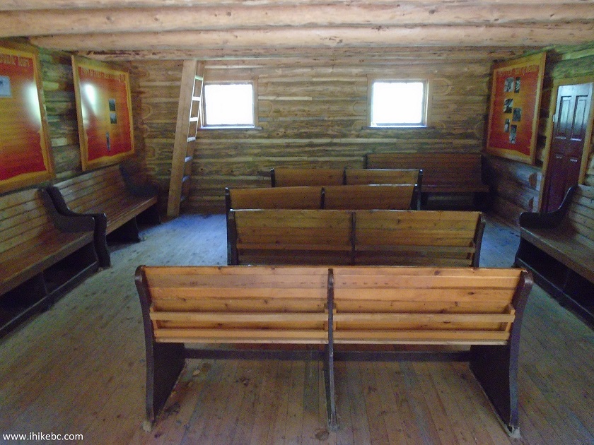
Inside Quesnel Forks Visitor Centre
16. The residents of Quesnel Forks.
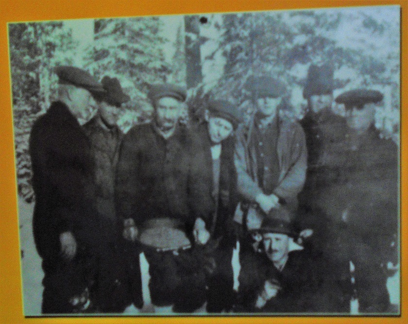
Photo of Past Residents of Quesnel Forks British Columbia Canada
17. A painting of Quesnel Forks in its glory days.
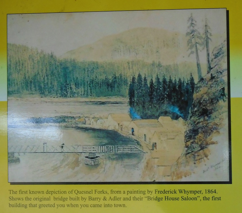
Painting of Quesnel Forks BC Canada
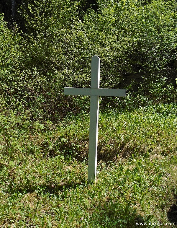
18. We then visited the cemetery.
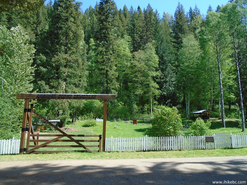
Quesnel Forks Cemetery
19. There are about 50-60 graves at the cemetery, with a mix of very old and fairly recent burials. This is the grave of one of the most prominent residents of Quesnel Forks, Government Agent W. M. Stephenson, 1832-1916.
W.M.Stephenson Grave in Quesnel Forks British Columbia Canada
20. And this is the resting place of Alfred John Budden, who was killed in a mining accident in 1895, aged 26.
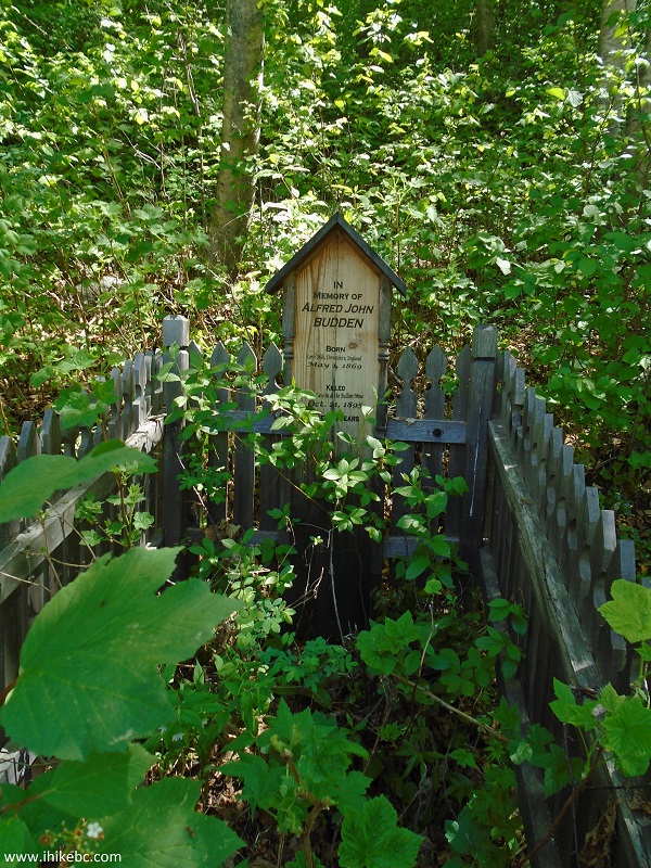
Alfred Budden grave in Quesnel Forks BC
21. The road to the left of the welcome sign continues past the cemetery, and ends at Quesnel River (just past the trees).
The Ghost Town of Quesnel Forks near Likely BC Canada
22. Turning to the right in front of those trees leads to the entrance to the townsite.
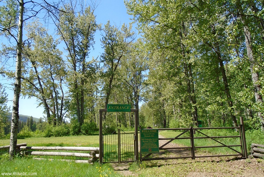
Quesnel Forks
23. A neat river view shortly after the entrance.
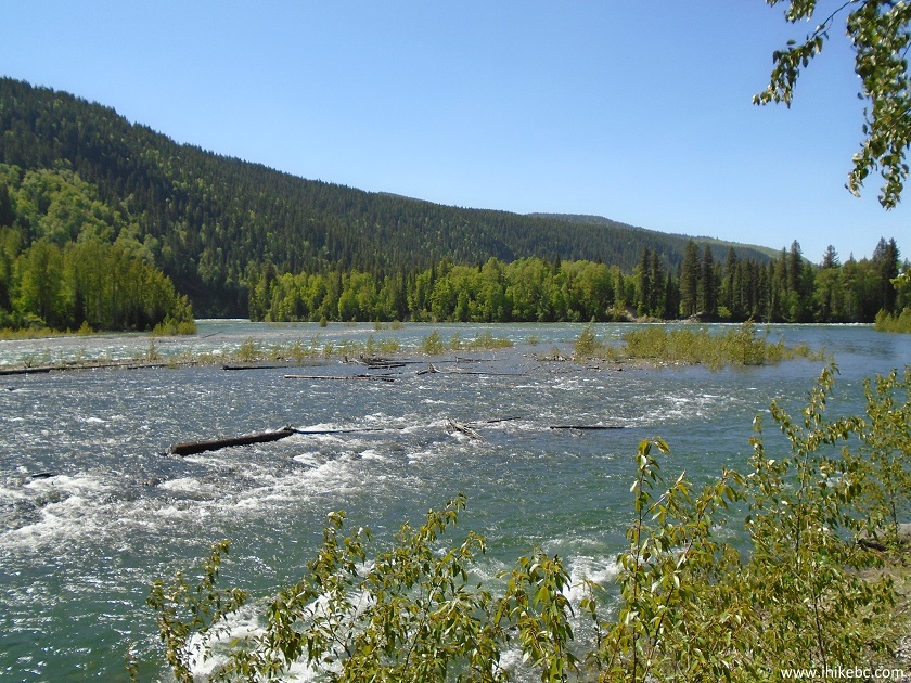
River View from Quesnel Forks BC Canada
24. Here is the featured attraction - several well-restored cabins, where Quesnel Forks residents used to live and work. This cabin belonged to a caretaker.
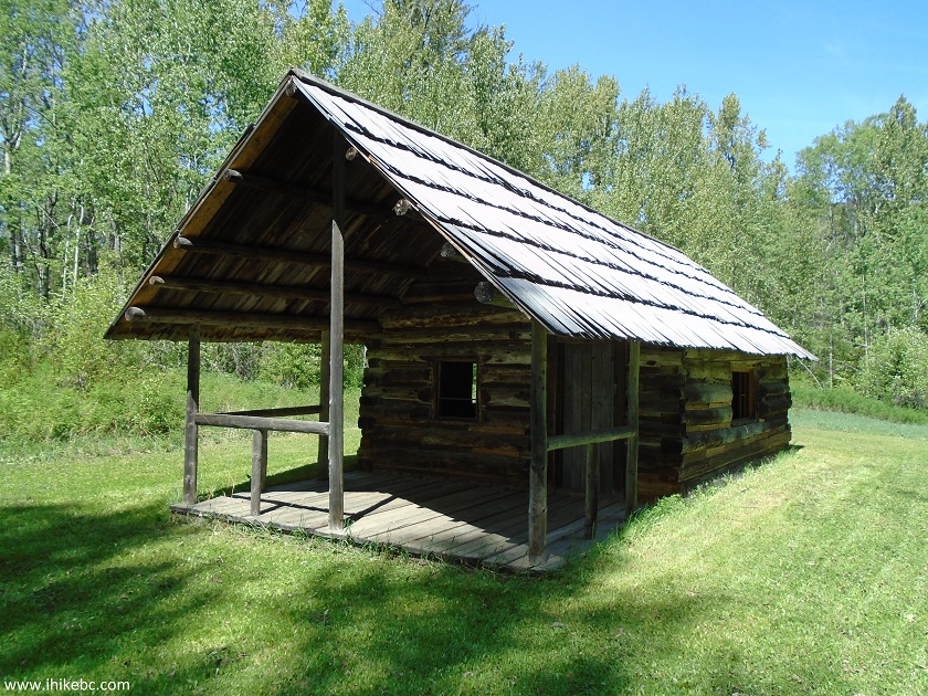
A Cabin in Quesnel Forks BC
25. The cabins are mostly grouped together.
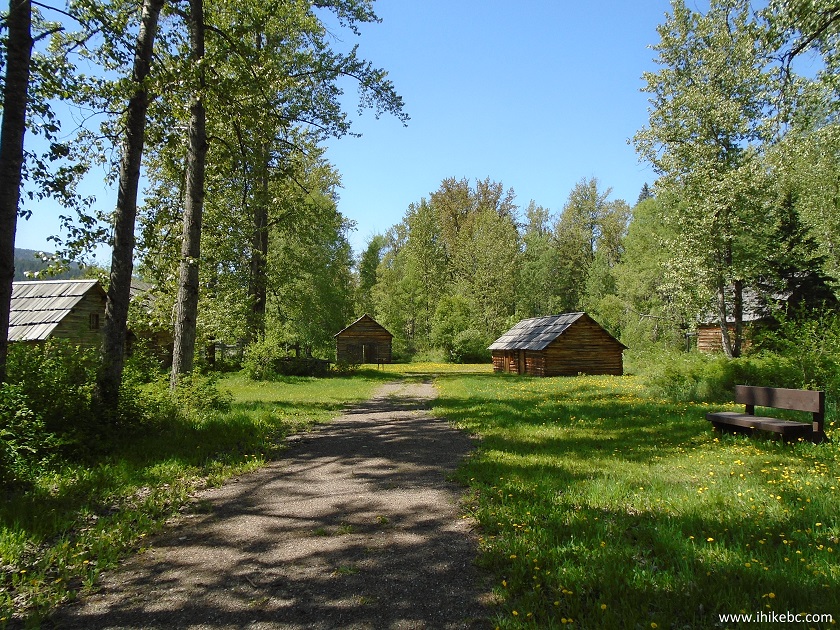
Quesnel Forks British Columbia Canada
26. Shorty Lahaie's cabin.
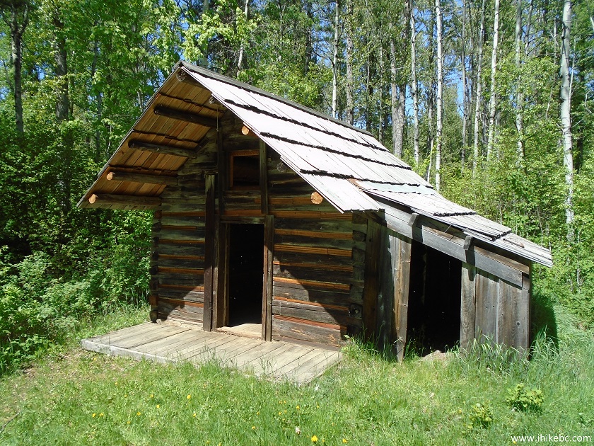
A shack on the ghost town of Quesnel Forks BC
27. Inside the cabin. Unclear, if these are the original items from the Quesnel Forks era. Most of the cabins have nothing but bare walls inside of them.
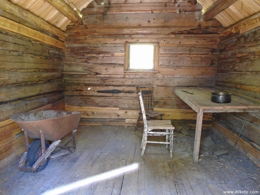
Inside a shack in Quesnel Forks BC Canada
28. There is also a recreation site nearby, with 11 spaces, all unoccupied during our visit.
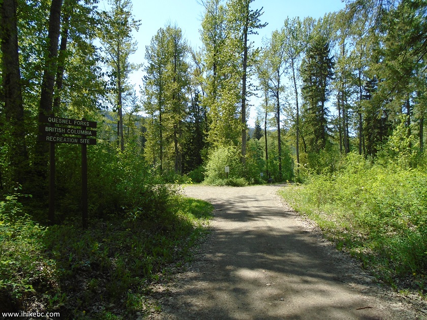
Quesnel Forks Recreation Site entrance
29. One of the spaces.
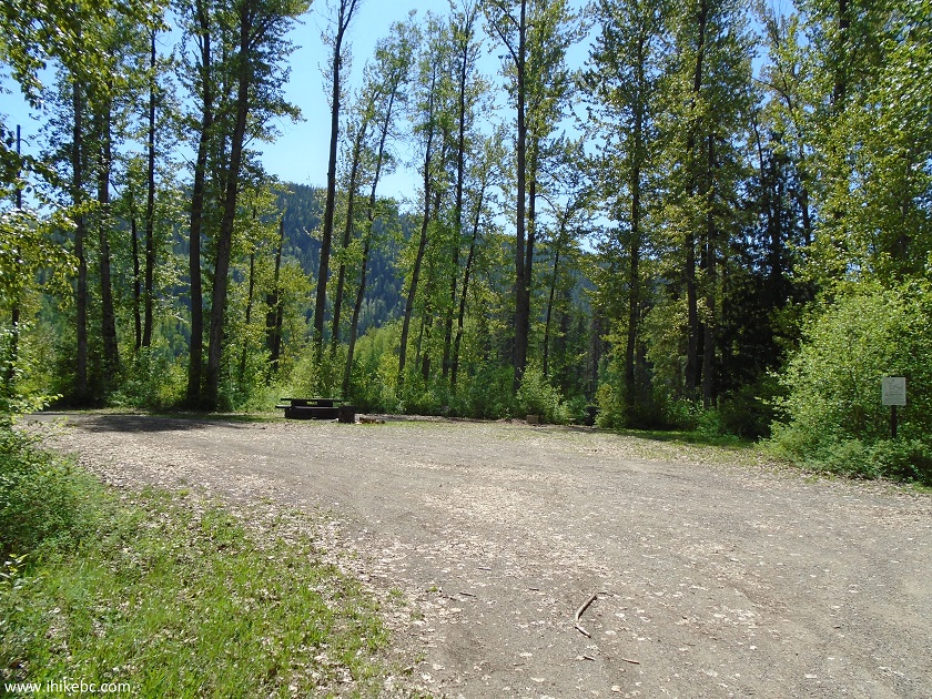
Quesnel Forks Recreation Site British Columbia Canada
30. Quesnel Forks Recreation Site map.
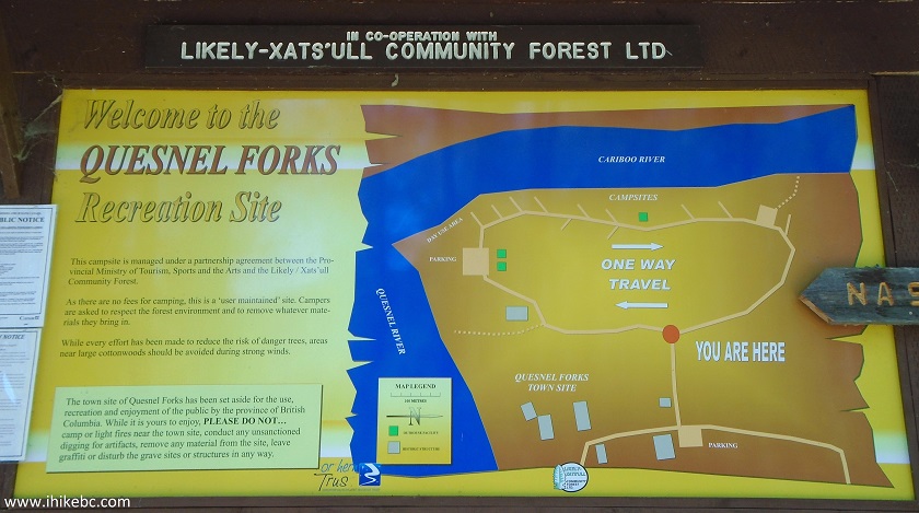
Quesnel Forks Recreation Site Map
If you are in the area, Quesnel Forks may be a good place to visit for its historical value, and the recreation site next to the river is a fine place to stay.


|
 |
Other Trips in Likely BC Area:
|
Browntop Mountain
Trail
|
|


![]()
![]()
![]()
Follow @ihikebc Tweet
ihikebc.com Trip 133 - Quesnel Forks Historic Site (Near Likely BC)