![]()
![]()
![]()

Trip 108 - June of 2016
Bullhead Mountain Trail Hike
Near Hudson's Hope BC
Location: Northeastern British Columbia,
approximately 16 kilometers West of Hudson's Hope.
Liked: Williston Lake views, mountain views, communication equipment views.
Of note: Steep trail, hiking poles and boots are highly recommended, steep drop-off at the viewpoint on top of the mountain, hiking this trail is better in the morning or on a cloudy day for the best views of Williston Lake, the trail appears to be the bed of a dry creek - watch out after the rain, parking near the trailhead is limited and could also be problematic for low clearance vehicles.
Northern BC Backroad Mapbook (3rd edition) Bullhead Mountain Coordinates: Page 65 (Hudson's Hope) F6.
Bullhead Mountain Trail is located near the W.A.C. Bennett Dam, and is very short, taking about one hour to get to the top. The trail is quite steep, however, with the average grade being close to 25 degrees. The trail also appears to be the bed of a dry creek, so hiking after the rain or when the ground is muddy might be complicated. Also, while there is a good parking spot near the trailhead, the ground at the entrance to that parking spot is uneven, and low clearance vehicles might not make it without bottoming out and, at least, getting some scratches.
1. To get to the Bullhead Mountain Trailhead, drive to the town of Hudson's Hope located on Highway 29 in Northeastern British Columbia, between Chetwynd and Fort St. John, and then follow directions to W.A.C. Bennett Dam. Take Canyon Drive for about 15 kilometers, until Twelve Mile Road would appear on the right side. Canyon Drive would then continue on the left for 4.3 km to the dam, while you would turn to the right onto Twelve Mile Road. Then, five hundred meters later, the trailhead would be on the right side (a green-and-white stand in the photo below), while parking is available by the square yellow sign seen ahead.
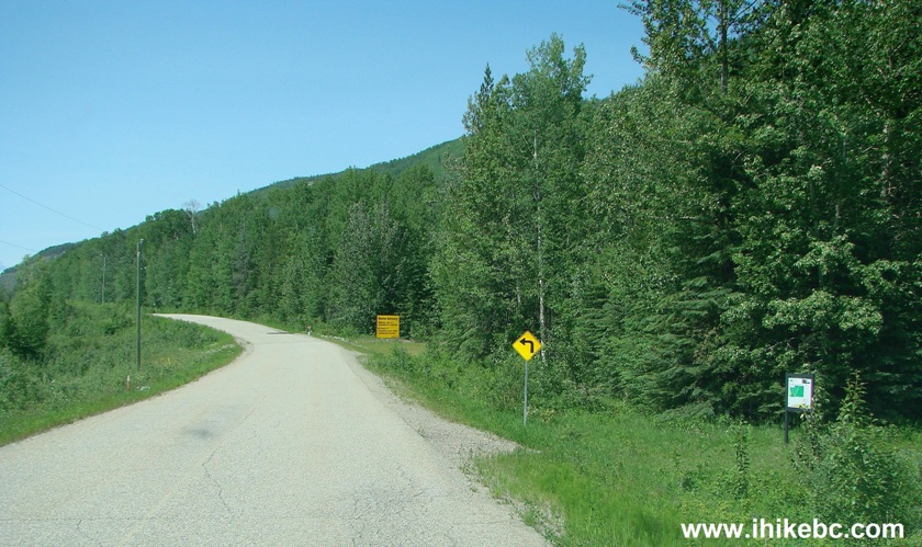
Twelve Mile Road soon after Split With Canyon Drive - near Hudson's Hope
BC Canada
2. Here is this parking area. Looks fairly good at first.
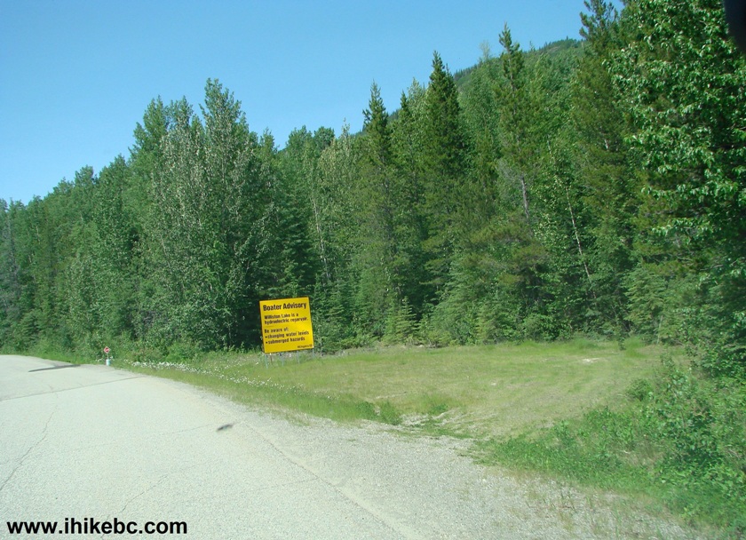
Bullhead Mountain trail parking area
3. But take a look from the other side at the entrance to the parking area - the ground is uneven, with an appreciable drop-off, and low-clearance vehicles may have issues here. Alas, there is no other suitable parking nearby, as Twelve Mile Road is rather narrow and winding here, so the best course of action might be finding parking along Canyon Drive near the Twelve Mile Road turnoff, if parking here wouldn't be possible.
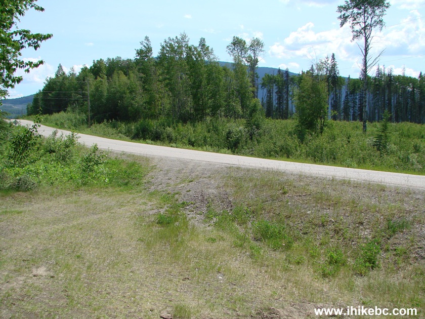
Parking area for Bullhead Mountain Trail in Northeastern British
Columbia near Hudson's Hope
4. Here's the trailhead. Coordinates: N56⁰01.989' W 122⁰08.162'. Elevation: 695 meters. As for parking by the trailhead, it might be possible only for high-clearance 4WD vehicles, since the ground by the road there is even more uneven than in the photo above.
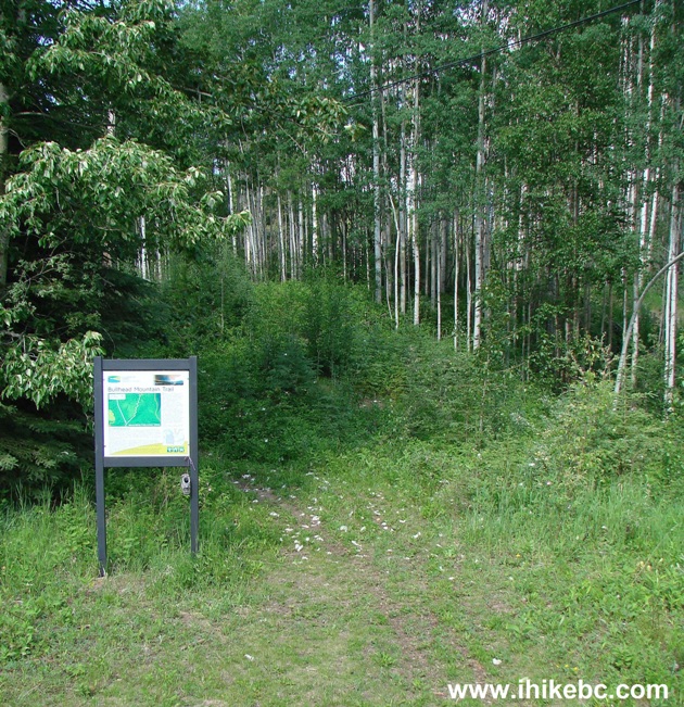
Bullhead Mountain Trailhead Northeastern BC Canada
5. A close-up of the information stand. The trail is a white zigzagging line in the middle, and Twelve Mile Road is on the left. As you can see, motorcycles are allowed.
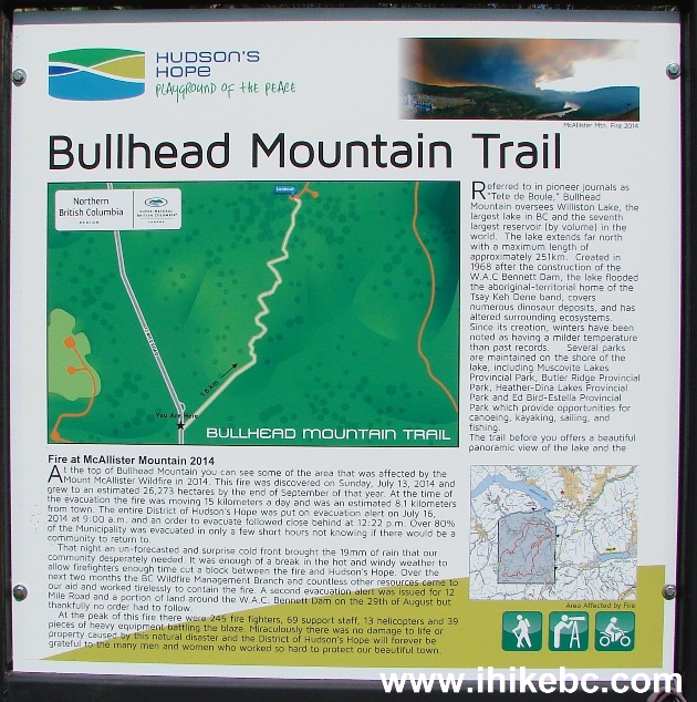
Bullhead Mountain Trail Information Stand
6. The hike begins. At first, things are easy enough.
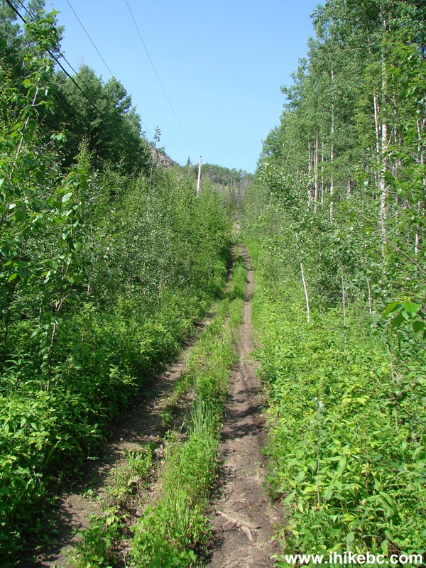
Hudson's Hope Hike -
Bullhead Mountain Trail
7. But, then, it gets steep.
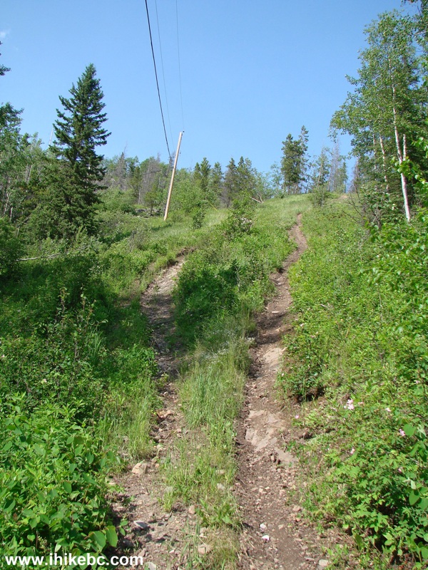
Bullhead Mountain Trail by W.A.C. Bennett Dam - Hike in British Columbia Canada
8. Very steep.
Steep Bullhead Mountain Trail - Hudson's Hope Hiking
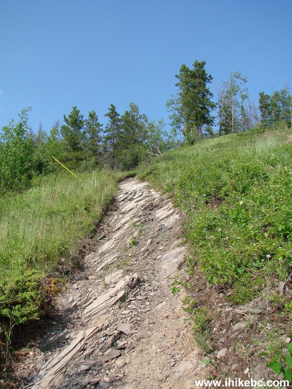
9. Still very steep.
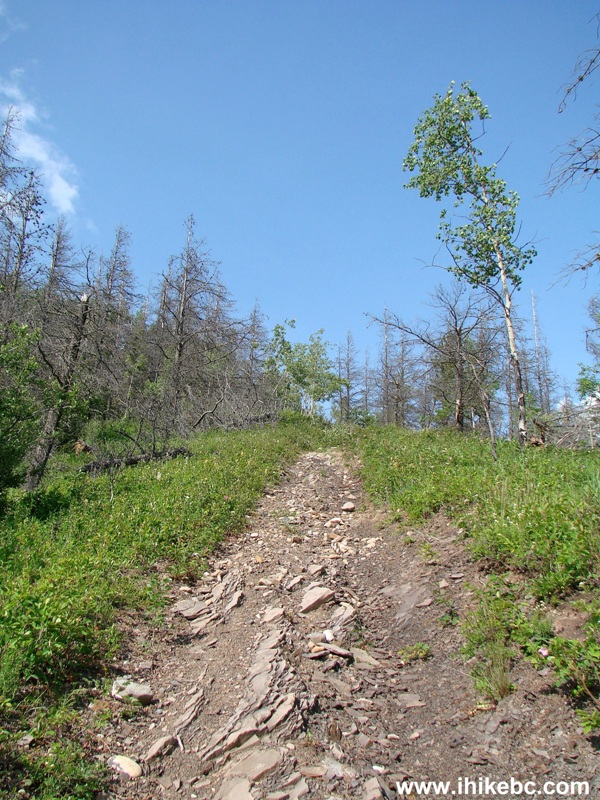
Very steep Bullhead Mountain Trail - BC Hiking Canada
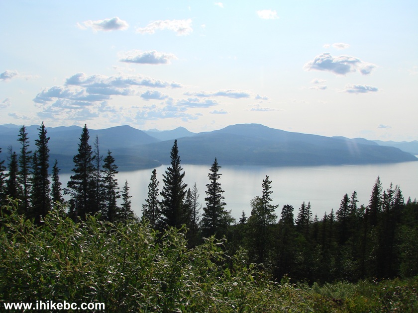
10. The higher you get, the more of Williston Lake you can see behind you. If the sun is out and you are hiking in the afternoon, like us, substantial glare would affect the views. Also, power lines running to the top of the mountain get into the picture for much of the way.

Hike in British Columbia -
Williston Lake View from Bullhead Mountain Trail
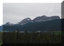
11. Soon, you can see the top of Bullhead Mountain.
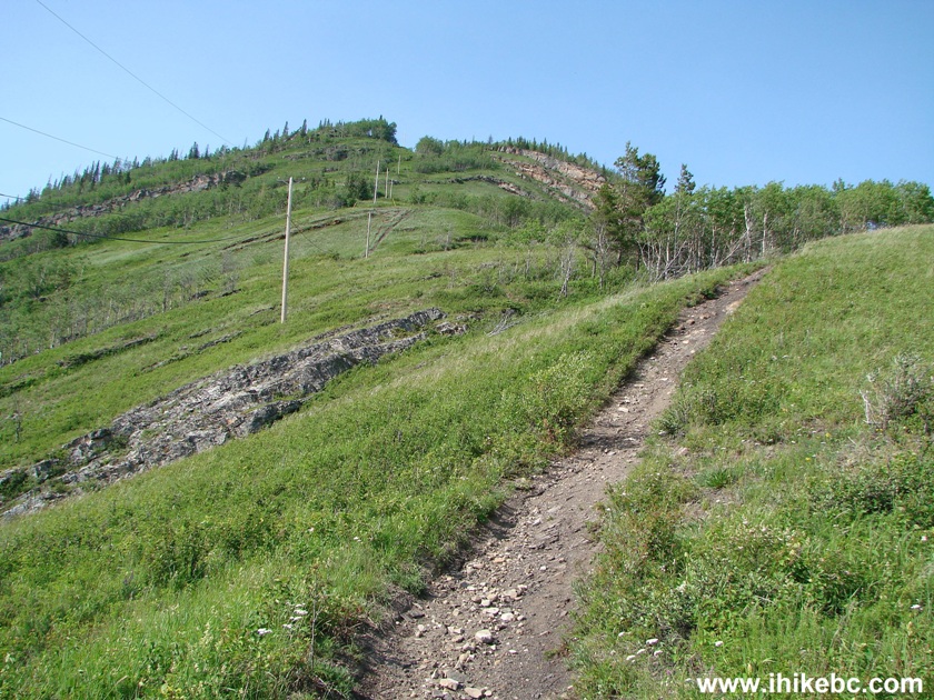
Bullhead Mountain Hike - Hudson's Hope Trail British Columbia Canada
12. A neat feature of this trail is that there are several shady stretches, which really helps on a hot day like today.

Bullhead Mountain Trail in Hudson's Hope Area
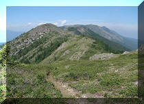
13. A fine view behind us.

View from Bullhead Mountain trail by Hudson's Hope - British Columbia
Hiking
14. Closer to the top, there is also this attractive rock outcropping, hiding behind the trees. This is a view from the trail.
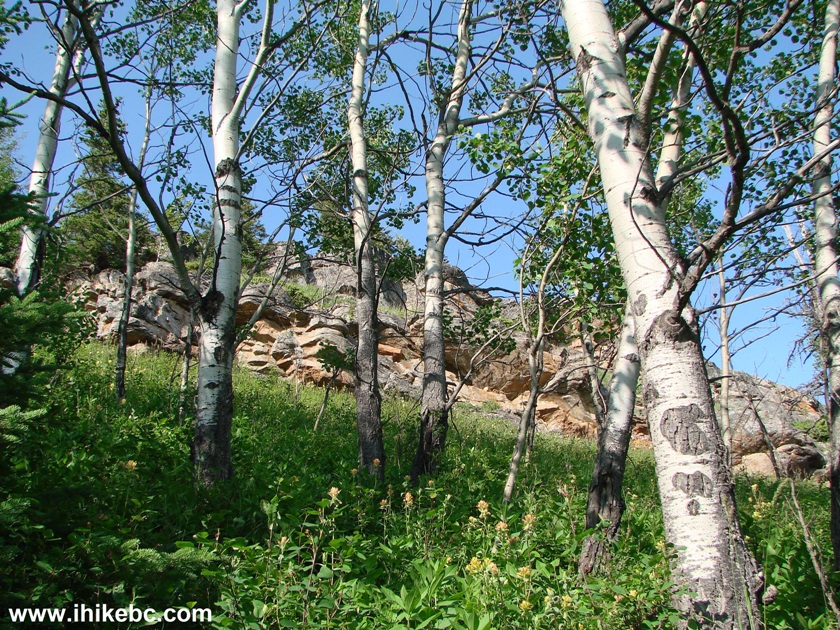
Canada Hiking
15. And now without the trees.
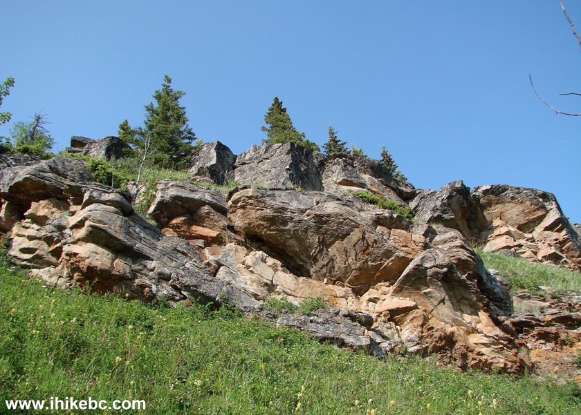
Rock Outcropping - Hike in Canada
16. Getting to the top took just over an hour. Coordinates: N 56⁰02.755' W 122⁰07.977'. Elevation: 1,108 meters (413 meters altitude gain over approximately 1.4 km of trail). And there was some serious communication equipment in that place.
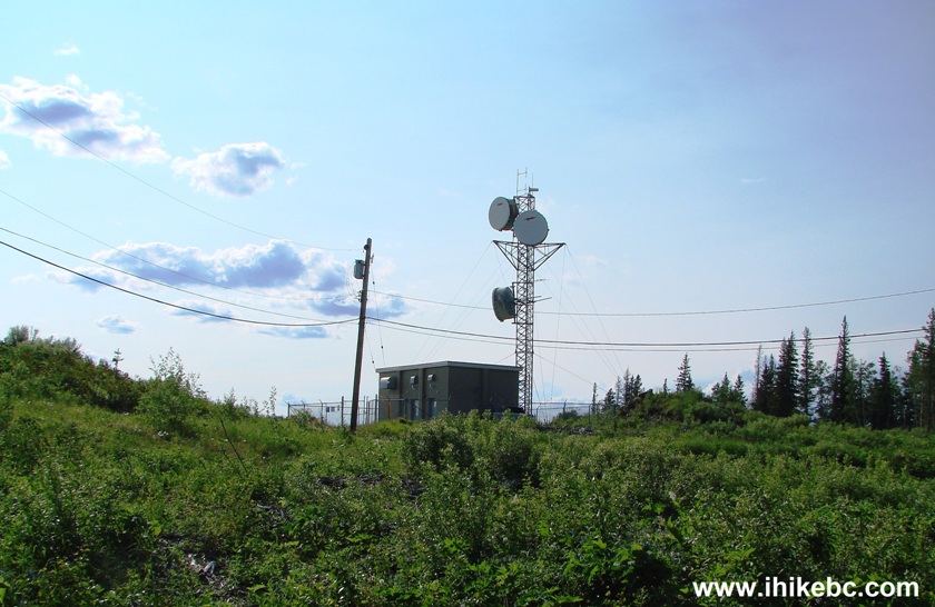
Communications equipment on top of Bullhead Mountain BC Canada
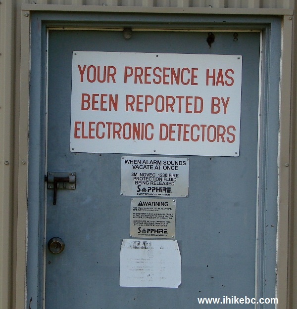
17. Just so you know.
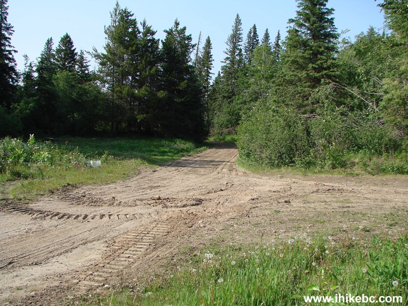
18. There was also a smooth forest service road reaching the top from the opposite direction. Unclear exactly where it leads, and whether or not a gate prevents vehicular access.
19. To the left, there were two abandoned shacks.
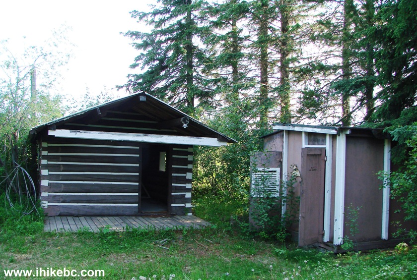
Abandoned shacks on top of Bullhead Mountain by Hudson's Hope BC Canada
20. Inside the bigger shack.

Inside an abandoned shack on Bullhead Mountain near Hudson's Hope BC
21. Also to the left, there was a view of Williston Lake, glare and all.
View of Williston Lake from the top of Bullhead Mountain British
Columbia
22. And, to the right, there was more cool communication equipment...
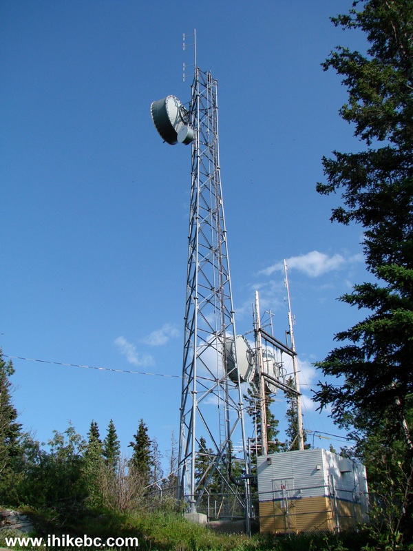
Communication Tower near Hudson's Hope BC Canada
23. ...and a view of the valley - watch out for the drop-off there.
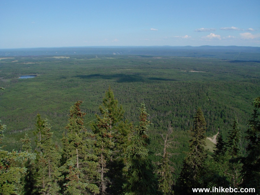
BC Hiking - View from Bullhead Mountain in Northeastern British Columbia
Canada
24. A view on the way back.
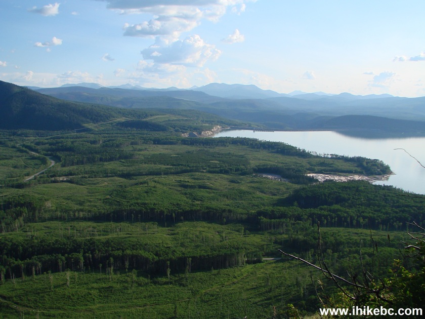
Hike BC - View from Bullhead Mountain Trail in Hudson's Hope Area
Bullhead Mountain trail is short, steep, and with several fine views. Recommended.


|
 |
Other Trips in Hudson's Hope BC Area:
|
|
|
|

![]()
![]()
![]()
ihikebc.com Trip 108 - Bullhead Mountain Trail Hike (near Hudson's Hope BC)