Trip 007 - October 7-8, 2009 (Wednesday - Thursday)
TransCanada Highway 1 East & BC Highway 99 South Trip
Page 1 of 2
Approximate Distances: Vancouver to
Boston Bar - 250 km, Boston Bar to Hwy 1 / Hwy 99 junction - 80 km, Hwy 1 / Hwy
99 junction to Vancouver via Hwy 99 - 330 km. Total: 660 km.
Liked: Vancouver to Boston Bar: good road
conditions (not much to see), Boston Bar to Hwy 99 Junction: many excellent
views, Hwy 99 junction to Lillooet: great views of Fraser River, Seton Lake to
Pemberton: mountain views.
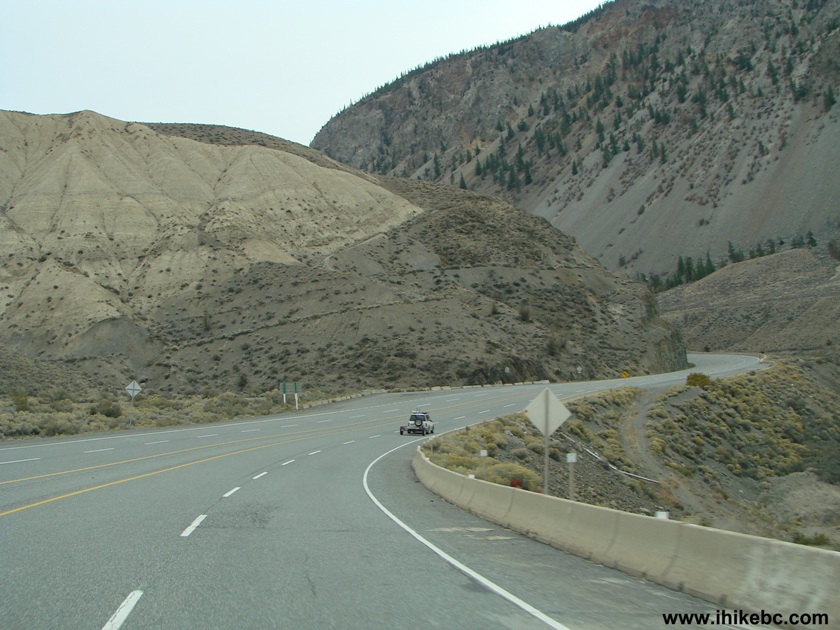
Of note: Vancouver to Boston Bar: chains required
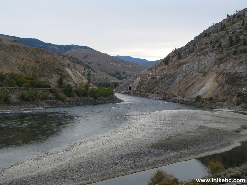
for commercial vehicles East of Abbotsford from October 1 to April 30, Boston
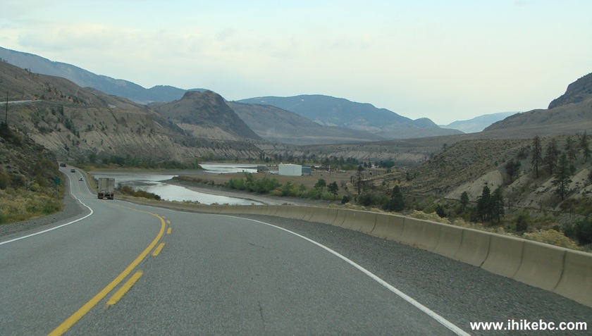
Bar to Hwy 99 Junction: several fairly steep grades, Hwy 1 Junction to Lillooet:
narrow and winding highway with limited passing opportunities, Seton Lake to
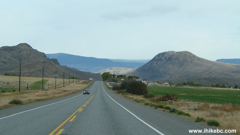
Pemberton: a very long and very steep stretch of the road North of Pemberton.
Related Website: DriveBC (road conditions).
Other Road Trip Reports: BC Highway 40 (Lillooet to Gold Bridge), BC Highway 20 (Williams Lake to Bella Coola).
Follow @ihikebc Tweet
This road trip covers 600+ kilometers, as we have taken a circular route from Vancouver: East on TransCanada Highway 1, and then South on Highway 99 back to Vancouver. Fantastic views await you on what could be a one day road trip. It took us two days, with a cold night sleep at a rest area high in the mountains.
1. We start our coverage with a photo of Highway 1 East in North Vancouver. As you are driving on Highway 1 through Metro Vancouver, the scenery does not get substantially better, except for the area near Horseshoe Bay, at the Western end of Highway 1.
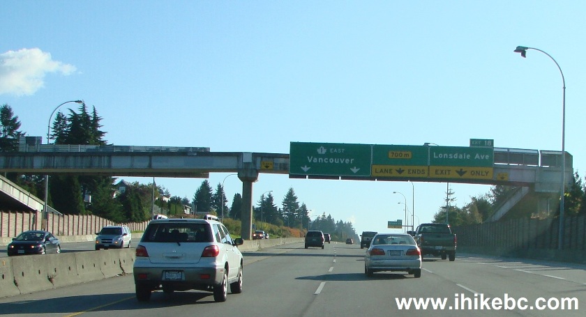
Highway 1 East North Vancouver BC
2. An idyllic picture of Abbotsford BC, though the roaring Highway 1 is but a few meters to our left. This photo has been taken shortly before the Cole Road Rest Area.
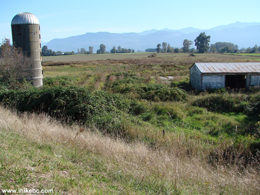
Abbotsford BC
3. It was a sunny day, though fairly chilly. The views start to become interesting closer to Hope, about another hour after Abbotsford. The traffic gets lighter after Abbotsford as well.
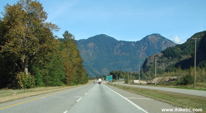
TransCanada Highway 1 photo
4. Past Hope there is a small township of Yale, where you would be driving through several tunnels. Yale also features a very steep Mount Lincoln Trail.
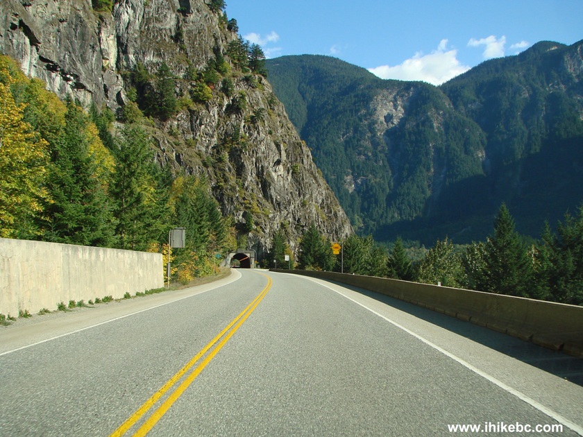
Highway 1 East near Yale BC
5. A sign requests motorists to remove the sunglasses and turn the headlights on prior to entering the tunnel.
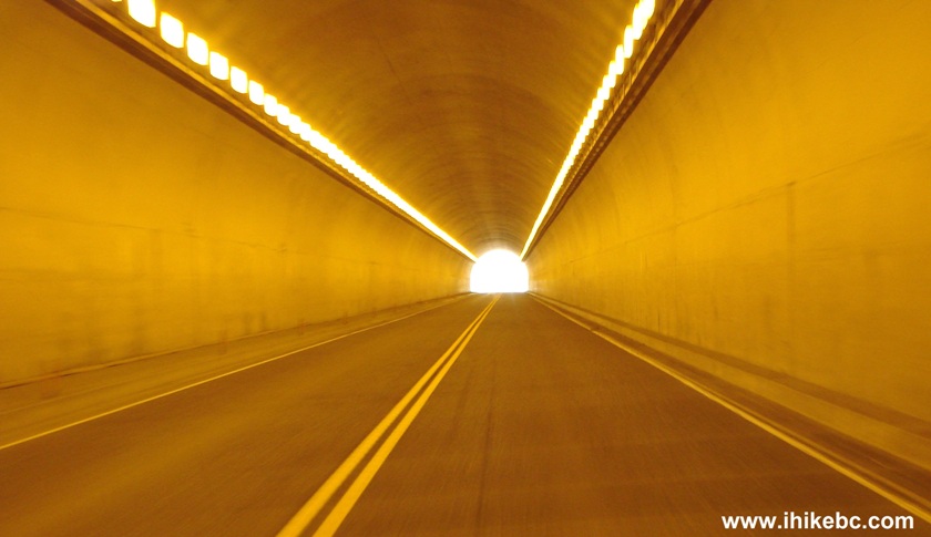
TransCanada Highway 1 tunnel near Yale BC
6. We drove for about 60 km past Boston Bar and reached this rest area near Lytton. It featured a fairly level surface, washrooms, and several picnic tables. Not a bad place to spend a night, though an occasional roaring semi can make it difficult to fall asleep.
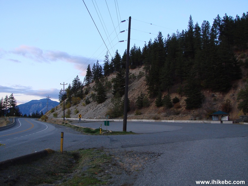
Rest Area near Lytton BC on Highway 1
7. Despite the light halo of an unknown origin on the horizon, it was quite dark, and countless stars were visible much better than in the light-polluted cities. Too bad our camera's longest exposure is only 30 seconds.
8. After a cold sleep, we are back on Highway 1 East.
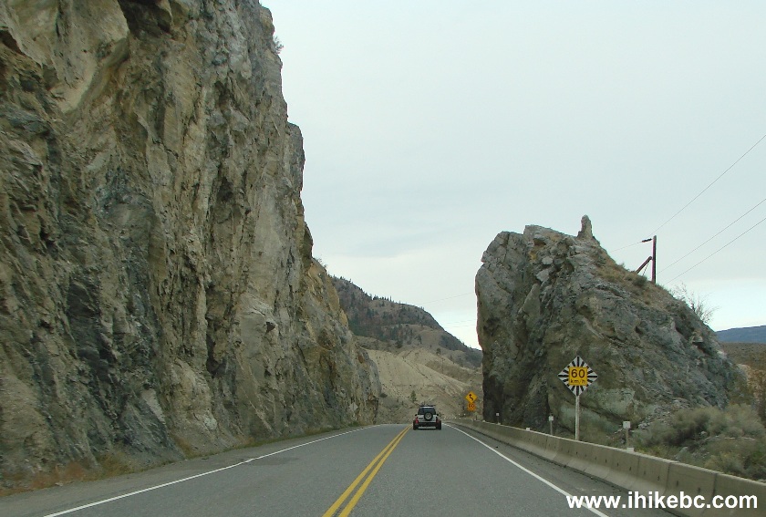
Highway 1 East North of Lytton BC Canada
9. A small waterfall on the side of the road.
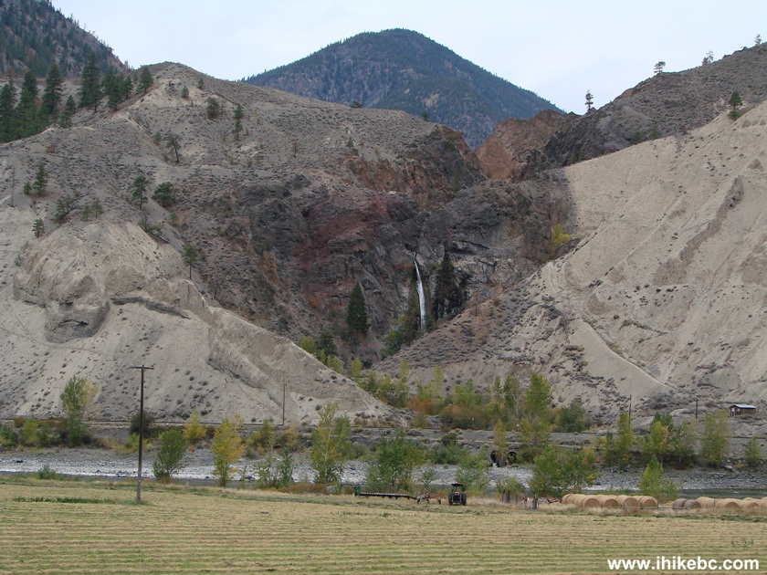
Waterfall view from Highway 1 North of Lytton BC Canada
10. Approaching a good view of Fraser River.
TransCanada Highway 1 North of Lytton
11. Fraser River.
Fraser River seen from Highway 1 between Lytton and Cache Creek
12. Back on the road, enjoying the landscape which would not be out of place on some other planet.
TransCanada Highway 1 South of Cache Creek BC
13. Remove the power poles, the vegetation, the river, and does it not resemble Mars?
14. Beautiful rural highway.
TransCanada Highway 1 near Cache Creek BC
15. About ten minutes north of Cache Creek, we turned left onto Highway 99, and the the signs advised of the distance (in kilometers) to the following locations: Lillooet - 73, Pemberton - 173, Whistler - 207, Squamish - 261, Vancouver - 328. Another sign warns that the highway is winding.
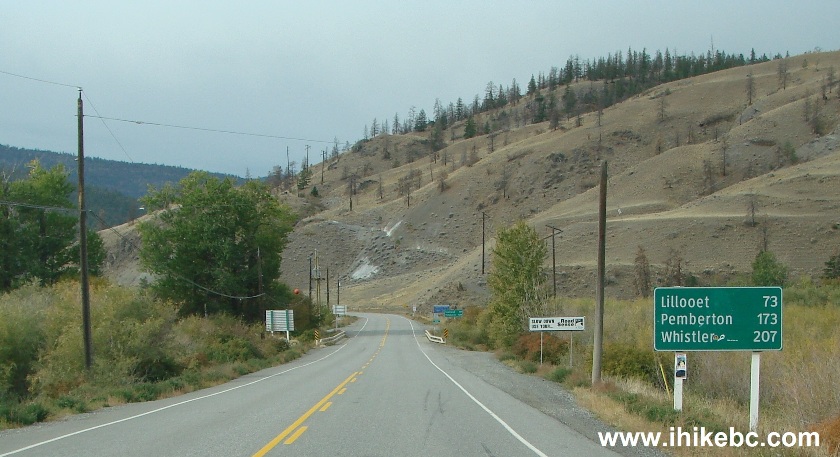
BC Highway 99 - circle driving tour
16. The first part of Highway 99 South has nice views, but nothing spectacular.
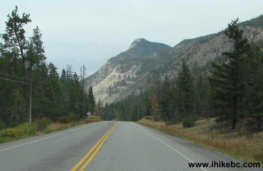
Highway 99 British Columbia Canada
17. Passing by the Graymont Pavilion plant.
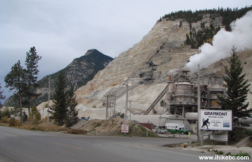
Graymont Pavilion Park near Cache Creek BC Canada
18. The three amigos by the road side.
19. As the skid marks likely show, this highway has many unexpected sharp turns.
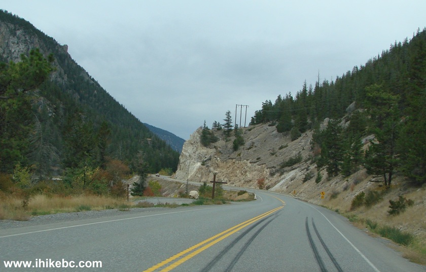
BC Highway 99
20. We stopped at the Marble Canyon Provincial Park. The campground was closed for the season.

Marble Canyon Provincial Park British Columbia Canada
21. Pavilion Lake at the Marble Canyon Park, just down the stairs from where we are in the photo above.
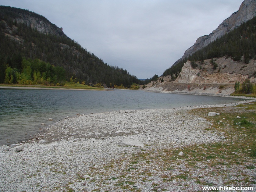
Pavilion Lake Marble Canyon Provincial Park BC Canada
22. Back on the road.
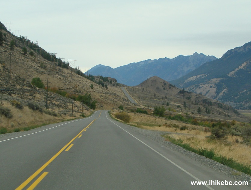
Photo of BC Highway 99
23. Fraser River.
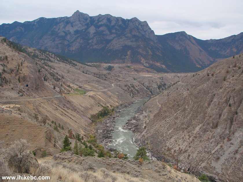
Fraser River seen from BC Highway 99
24. Drive a bit further and...
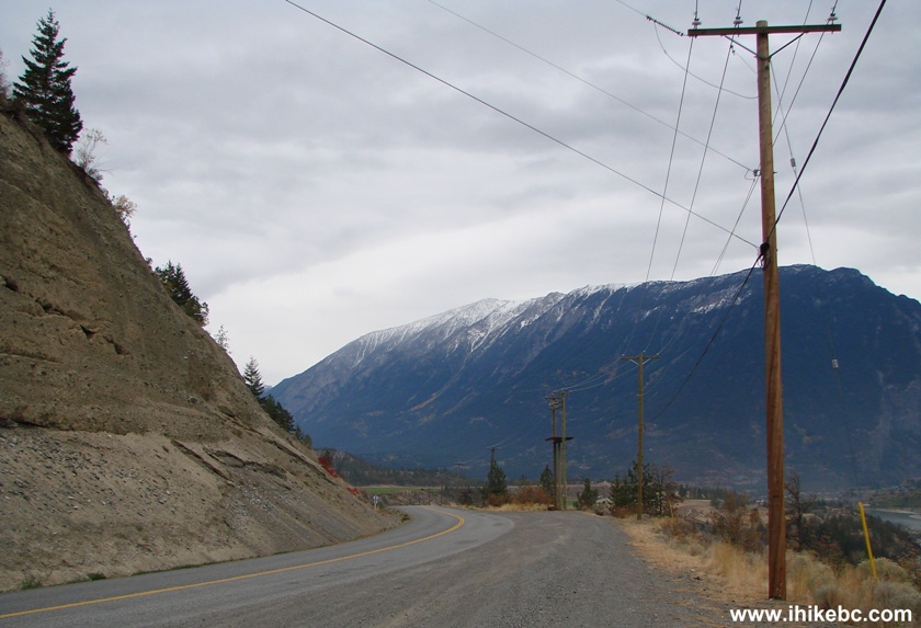
Highway 99 British Columbia Canada
25. ...another impressive view of Fraser River is waiting for you.
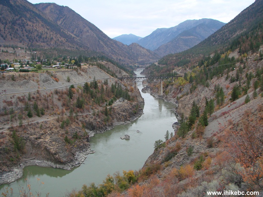
Fraser River in British Columbia Canada
Our trip report Continues on Page 2.
|
|
|
Follow @ihikebc Tweet
ihikebc.com Trip 007 - Highway 1 & 99 Trip Page 1 of 2


