Distance from Vancouver to the Trailhead: 20-25 minutes.
Located in North Vancouver at the end of Lynn Valley Road.
Liked: Fairly easy hike to Norvan Falls,
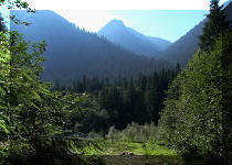
the view of Norvan Falls, almost no flies, free parking, Varley Trail
connecting the main parking lot with overflow parking lots, excellent
information boards, optional hiker registration forms.
Of note: Lynn Headwaters is a very popular park,
and quite a few people were hiking, jogging, walking their dogs, chilling in the
creek and having a picnic even on a weekday. The place is bound to be packed on
a weekend, and parking is fairly limited. Lynn Valley viewpoint offers such a distant
(and hazy during our trip) view, that this spur is hardly worth the hike. The cell
phone reception in the park is very limited.
Vancouver, Coast & Mountains Backroad Mapbook (2010 edition)
Main Trailhead
Coordinates:
Page 11 (North Vancouver) E7.
Lynn Headwaters Regional Park is ran by Metro Vancouver (not by the
Province of BC), and is located very close to the residential areas of
North Vancouver. Add the easy trails and some nice views to the mix, and
it is a perfect recipe for a busy park. The hike to Norvan (NORth
VANcouver) Falls takes
about 5-6 hours round trip, and would be a good exercise for a novice
hiker or for elderly folks, of which a few were encountered during our
trip. There are very few steep stretches on the main trails, so hiking poles would not be
badly needed, though several people were carrying
those. We went to Norvan Falls via the Headwaters Trail to the Falls, and
via the Headwaters, Cedars Mills and Lynn Loop Trails on the way back.
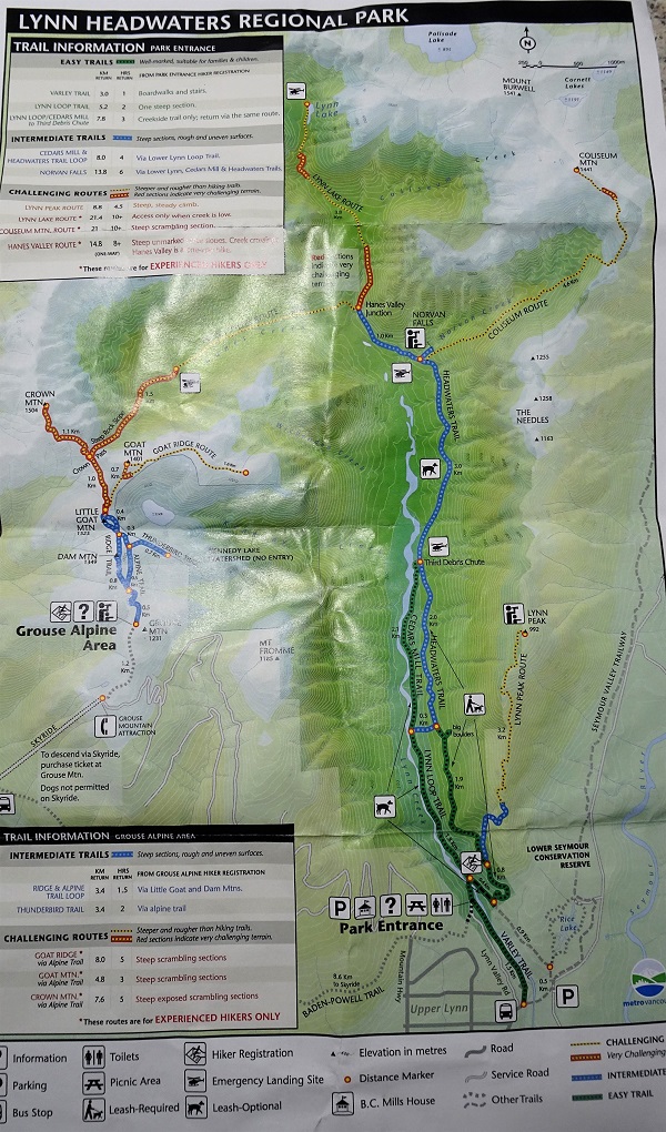
0a-0b. Here is a map of the trails in
Lyn Headwaters Regional Park, courtesy of Metro
Vancouver.
Lynn Headwaters Regional Park Trails Map
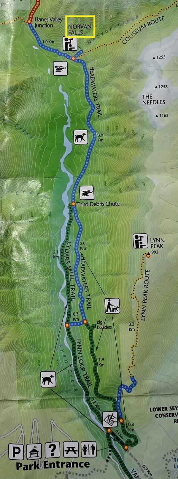
Norvan Falls Trail Map
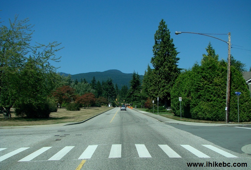
1. We are on Grand Boulevard in North Vancouver,
passing by 17th Street, and
heading to Lynn Headwaters Regional Park. Grand Boulevard becomes Lynn
Valley Road after passing by Highway 1, and Lynn Valley Road leads into the Park.
Grand Blvd at 17th Street North Vancouver BC
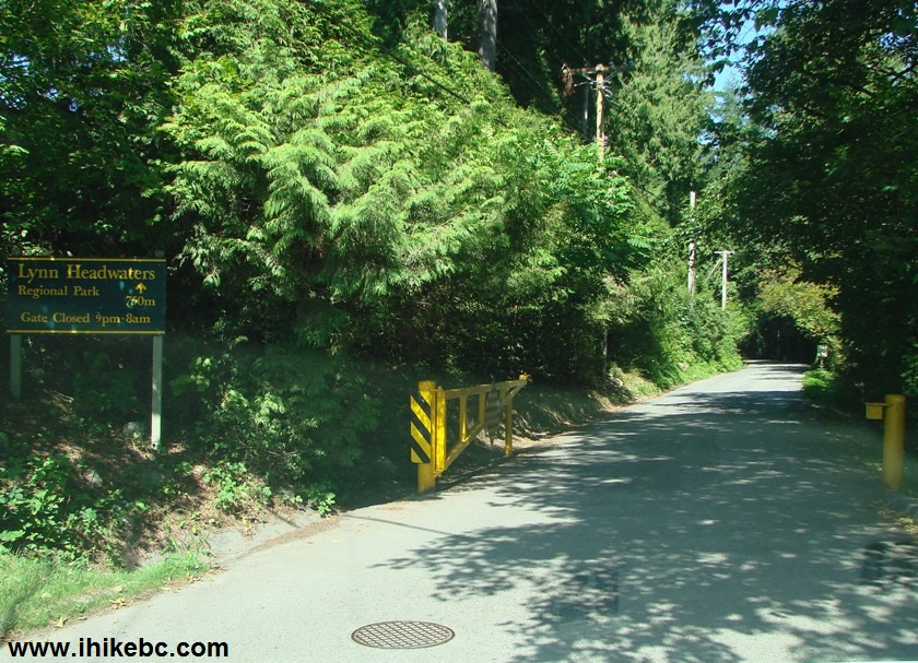
2. At the end of Lynn Valley Road, a modest entrance
to the park. The gate opens and closes at different times depending on
the season.
Lynn Headwaters Regional Park Entrance North Vancouver British Columbia
Canada
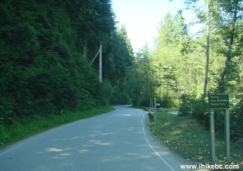
3. The winding road with a speed limit of 20 km/h goes
for 750 meters and passes two overflow parking lots.
Lynn Headwaters Regional Park access road
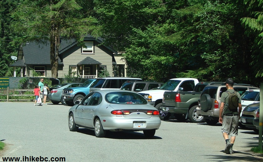
4. Upon reaching the main parking lot, you would
likely find out that all 20 or so stalls are taken, and you need to turn
around and head back to one of the overflow lots. The total parking
space on all the lots is for about 130-150 vehicles, so it is quite possible
that on a weekend or holiday there would be no parking available.
Lynn Headwaters Regional Park main parking lot
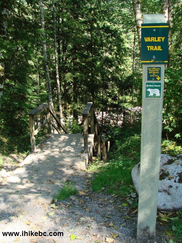
5. The good news is that the overflow parking lots are
connected with the main parking lot via Varley Trail, a very pleasant
and easy hike.
Varley Trail entrance Lynn Headwaters park North Van
6. Varley Trail is named after an artist who painted
British Columbia's nature.
BC Hiking -
Varley Trail in North Vancouver
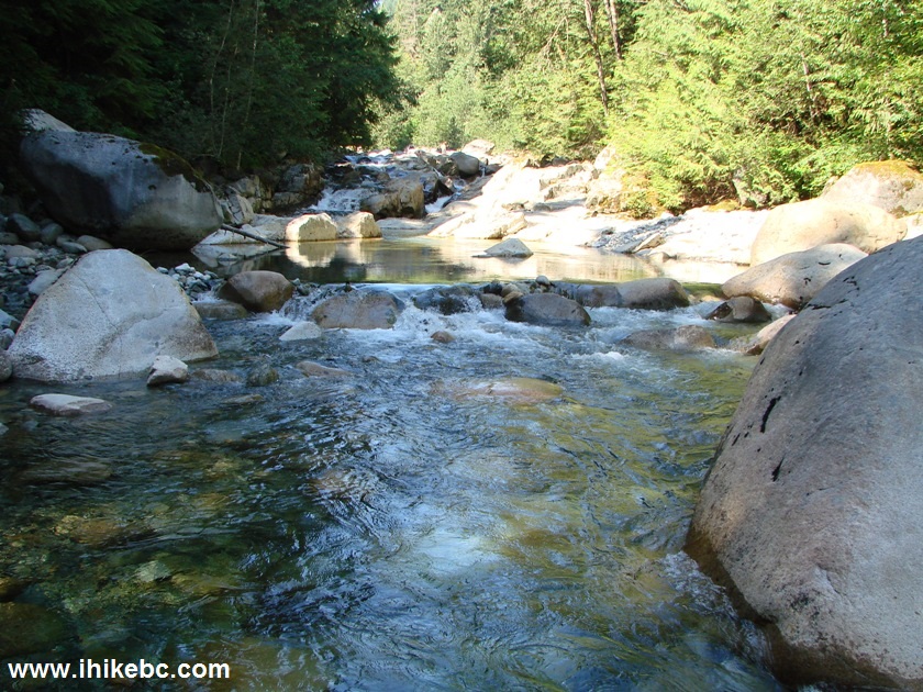
7. Lynn Creek flows along Varley Trail.
Lynn Headwaters Regional Park
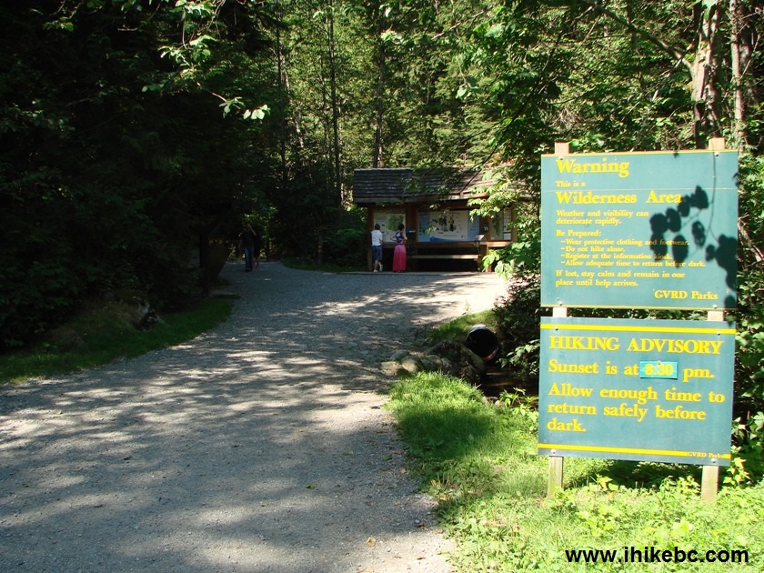
8. The entrance to the rest of
the Lynn Headwaters Park by the main
parking lot.
Lynn Headwaters Regional Park North Vancouver BC
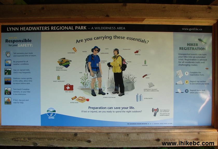
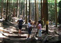
9. Here you will find excellent information stands with
valuable information. If you are going to hike, take advantage of the
hiker registration, which would allow the rangers to know where you
went, in case you get lost or injured. There are quite a few trails in the park, so
it's good to indicate your route to potential rescuers. Note that the
cell phone reception is virtually unavailable in Lynn Headwaters Park.
Wilderness Hike Preparation Guide
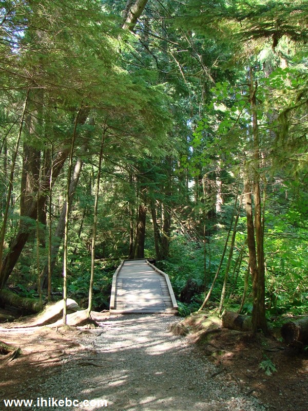
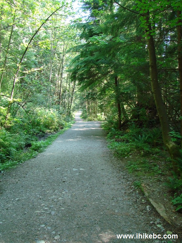
10. The beginning of the main trail, which later
branches into several others. It is possible to walk a different trail
on your return trip, thus walking a loop of several hours long.
Headwaters Trail Lynn Valley Regional Park
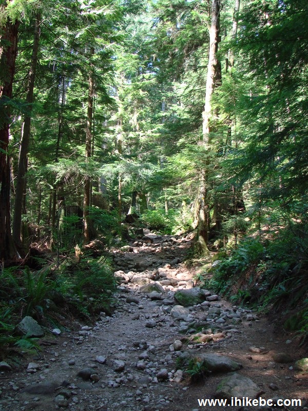
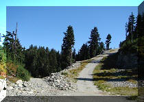
11. If you stay on easy or moderately difficult
trails, this is pretty much the toughest terrain you are going to
encounter. Nothing like the steepness of
Howe Sound Crest North, or
the ankle-breaking roots and rocks of
Howe Sound Crest South.
BC Hiking -
Lynn Headwaters Regional Park North Van BC Canada
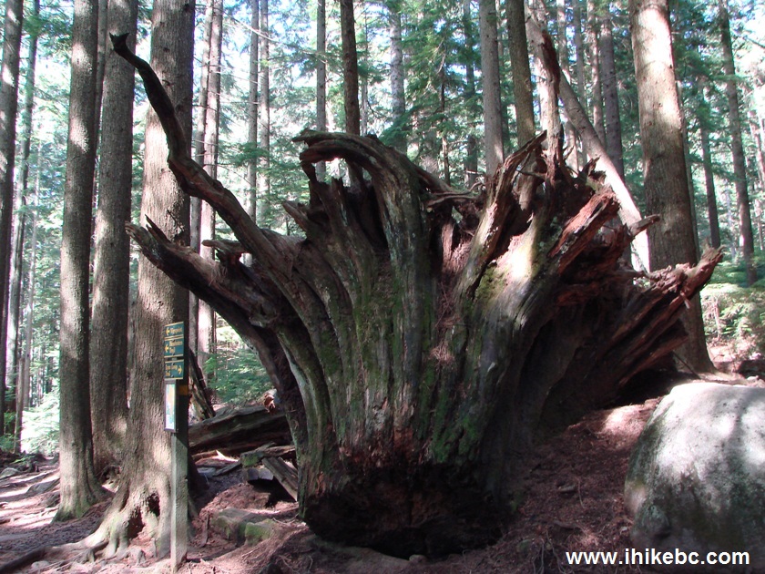
12. Nice stump.
Big stump - hiking in British Columbia Canada
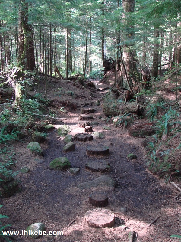
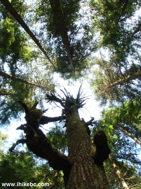
13. Still on Headwaters trail, where we have
encountered...
Headwaters trail - BC Hiking
14. ...this amazing tree, which has what looks like a
wooden deer growing out of it on the left side.
Hiking in BC -
Interesting tree Lynn Headwaters park North Vancouver BC