
Trip 003 - July 28, 2009 (Tuesday)
Howe Sound Crest South Trail
Page 2 of 2
Distance from Vancouver: 25-30 minutes
after crossing the Lions Gate Bridge. The
trailhead is located
inside Cypress Provincial Park.
Liked: Views of Howe Sound, views of The Lions, relative solitude on a weekday
Of note: Dangerous trail with numerous opportunities to get hurt, hiking boots and poles highly recommended, countless flies, no shade at the parking lot. Long pants and a long-sleeved shirt are highly recommended to protect against vegetation and the flies. Also, carry a good bug spray or wear a head net (at least) to keep the flies from nibbling on your skin.
Vancouver, Coast & Mountains Backroad Mapbook (2010 edition) Trailhead Coordinates: Page 11 (North Vancouver) B4.
103 Hikes in Southwestern British Columbia (2008 edition): hike #37.
Related Website: Cypress Provincial Park - BC Parks.
Follow @ihikebc Tweet
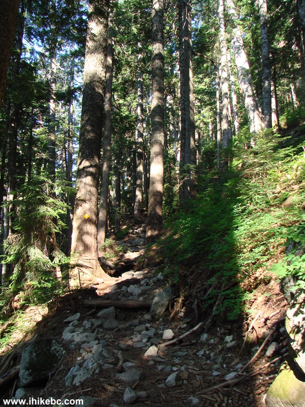
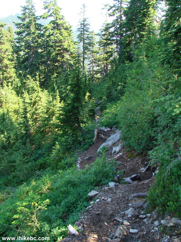
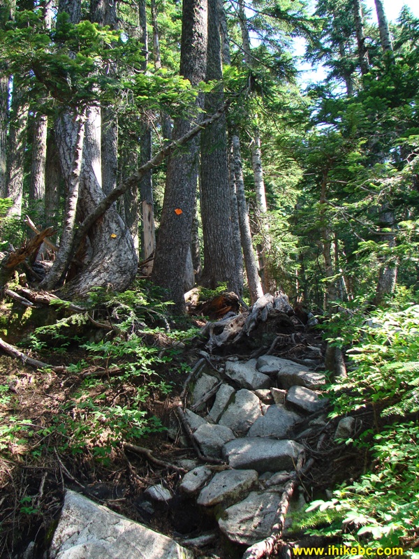
14. More of the rocks and roots.
Howe Sound Crest South Trail British Columbia Canada
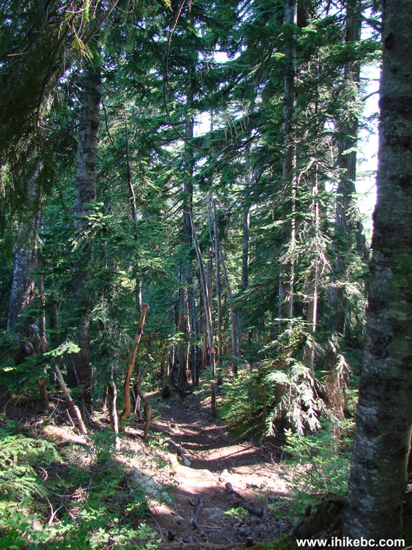
15. This trail wears you out quickly, and when it is as hot as it was (28 degrees by noon in the shade), a rest would help. But, the moment you stop, dozens of flies descend upon you, trying to bite.
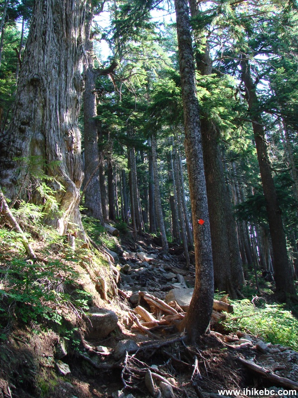
Photo of
Howe Sound Crest South Trail BC Canada
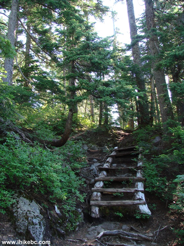
16. And, then, there was this ladder. It didn't make much difference, but, still, a pleasant surprise.
Howe Sound Crest South picture British Columbia Canada
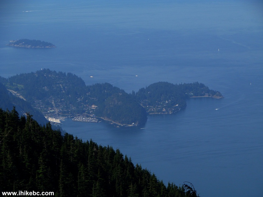
17. After about two hours of hiking (if you skip the Bowen Lookout), your reward awaits - a great view of Howe Sound. Even with the haze it was impressive. That's Bowen Island in the middle left of the frame, and Bowyer Island in the foreground.
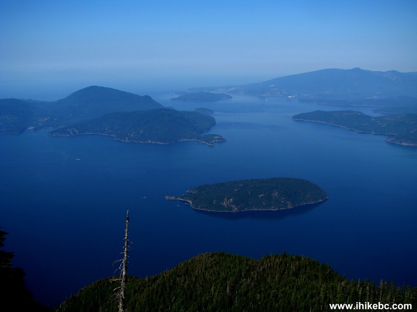
Howe Sound, Bowyer Island and Bowen Island seen from Howe Sound Crest Trail British Columbia Canada
18. And, shortly thereafter, The Lions appear again. Naked eye view.
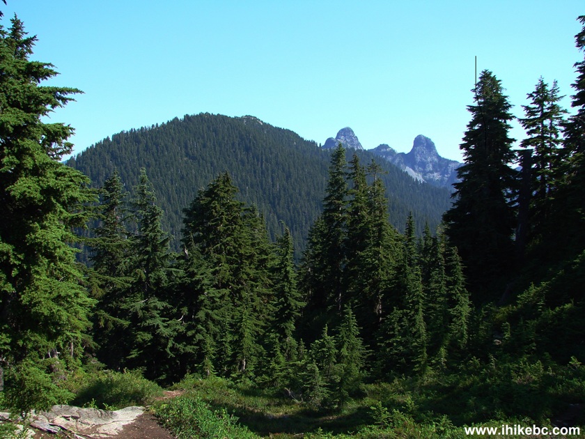
The Lions seen from Howe Sound Crest Trail British Columbia Canada
19. And now with the zoom.
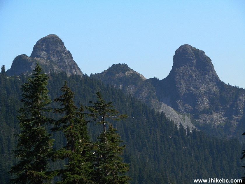
The Lions mountains British Columbia Canada
Here is our video of The Lions and Howe Sound.
More ihikebc videos are on our YouTube Channel.
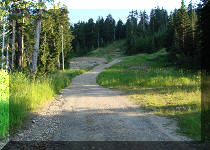
20. Walk a bit further and...
Howe Sound Crest South - BC Hiking
21. ...you get to see Horseshoe Bay. There was a ferry docked at the terminal.
Horseshoe Bay seen from Howe Sound Crest Trail - Hiking in BC
22. Then you actually walk down for about 30 minutes until...
British Columbia Hiking -
Howe Sound Crest South Trail
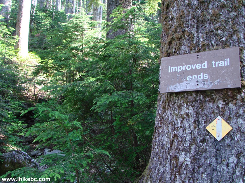
23. ...the improved trail ends.
Howe Sound Crest South trail British Columbia Canada
24. And they mean it.
Howe Sound Crest Trail British Columbia Canada
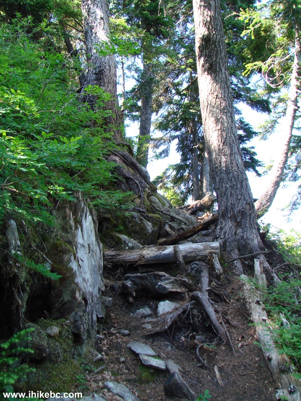
25. We went past that sign for about 20 minutes, but it was getting tougher and tougher to keep going. The 1.5 litres of water was close to 50% gone, and it was still 28 degrees and only about 11:30 in the morning. So, we turned around four hours after starting the hike. The photo below is taken on the way back. As you can see, some climbing was still required.
BC Hiking -
Howe Sound Crest trail British Columbia Canada
26. Back at the parking lot, about 2.5 hours later. This trail would definitely be better to hike in much cooler weather. This might allow for less hazy views as well.
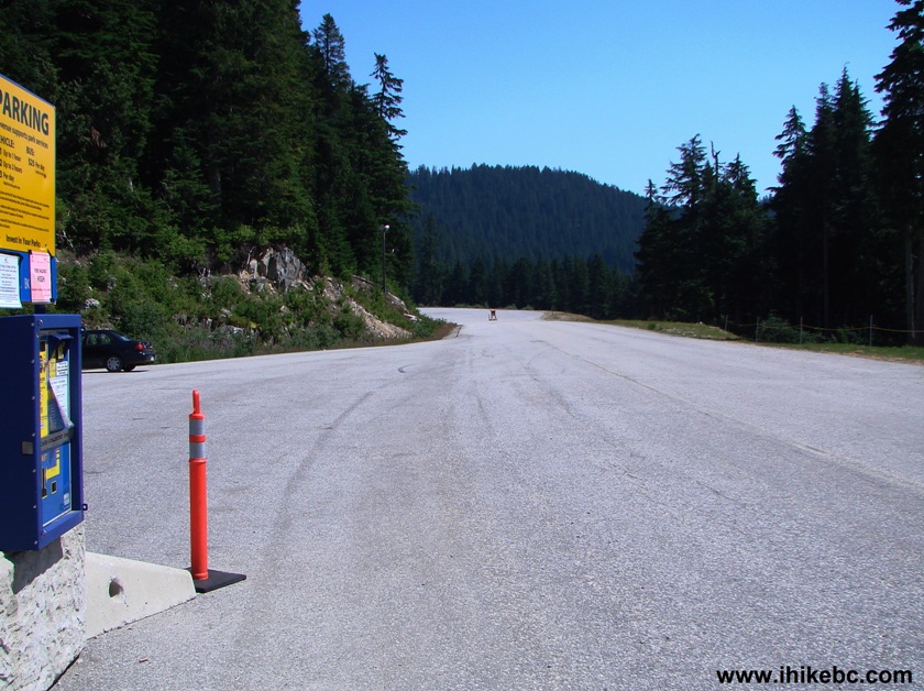
Cypress Provincial Park parking lot British Columbia Canada


|
 |
Other Trips in West Vancouver Area:
|
|
|
|
|
 |
|

![]()
![]()
![]()
ihikebc.com Trip 003 - Howe Sound Crest South Trail Page 2 of 2